The top ten hiking trails in America are truly a hiking paradise for wilderness survivors!
Preface
Compared with the meticulously crafted hiking routes in Europe, hiking routes in America are more like large-scale wilderness survival sites. Many routes are even labeled "wilderness spirit", attracting a group of people who want to find themselves, try to change and dare to challenge themselves to embark on a lonely and free journey here.
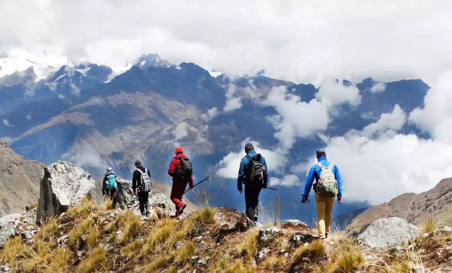
NO.1 South America's Great Patagonia Road
The Great Patagonia Trail is a true hiking route for wilderness survivalists. This route starts in the suburbs of Santiago and extends along the Andes Mountains to the Southern Patagonia Ice Field.
The Great Patagonia Way is not a single route; many trails branch off in different directions, forming an interesting hiking network.
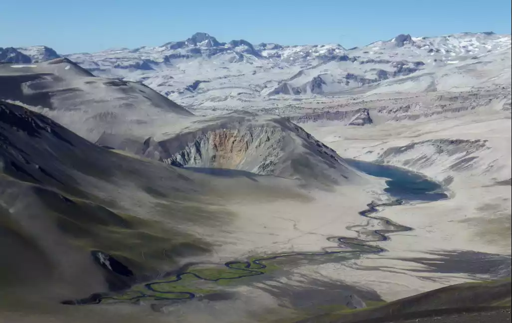
The exact length of this route is uncertain, as adventurous hikers continue to extend the route north and south.
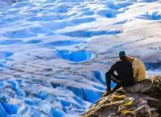
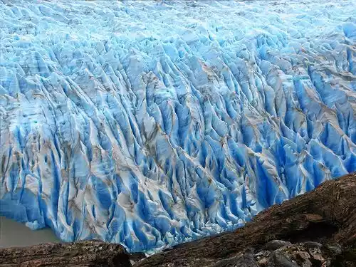
Most of the route are horse trails frequently used by local herders, and the rest are some jungle roads, rivers and a small number of official roads. Gray-black volcanic rocks, barren deserts, idyllic Andean valleys, lush forests, snow-capped mountains and azure lakes, the Great Patagonia Road will give you an unforgettable experience of exploring the unknown.
Tips:
English name: Greater Patagonian Trail
Location: Spanning Chile and Argentina, located in the southern Andes Mountains of South America
Best time for hiking: December to March
Mileage: about 1,500 kilometers
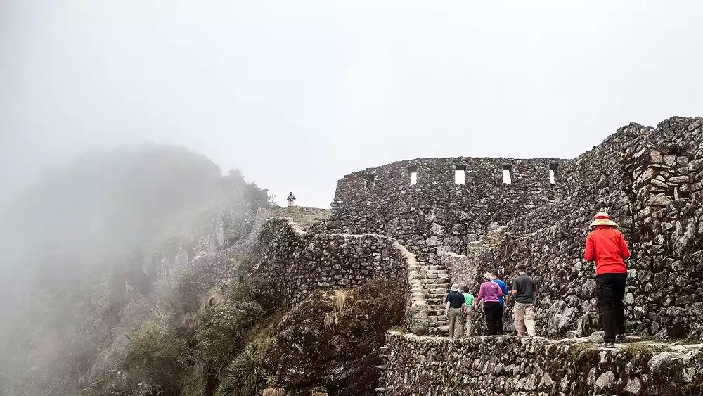
NO.2 Inca Trail, Peru
The Inca Trail is one of the best walking routes in the world, a long and fascinating hike through high mountains and deep valleys to reach a city that has been "lost" for centuries.
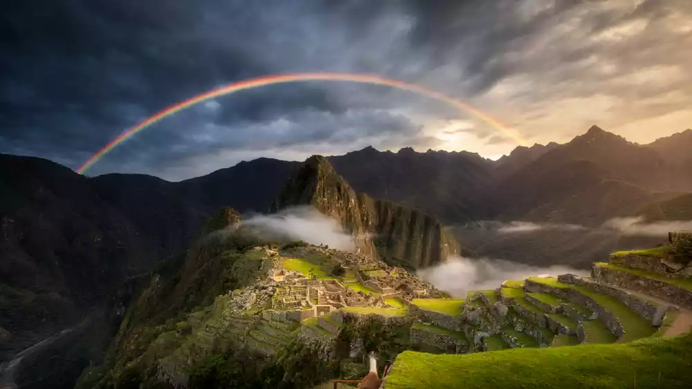
The trail features stunning ruins, each a stepping stone to Machu Picchu; Runculacai, an observation point and messenger station for messengers who carried messages throughout the Inca Empire; Sayamaga, an outpost surrounded by vertical cliffs; and Venezuela's vast terraced terraces, exquisite stone buildings, and ritual baths.
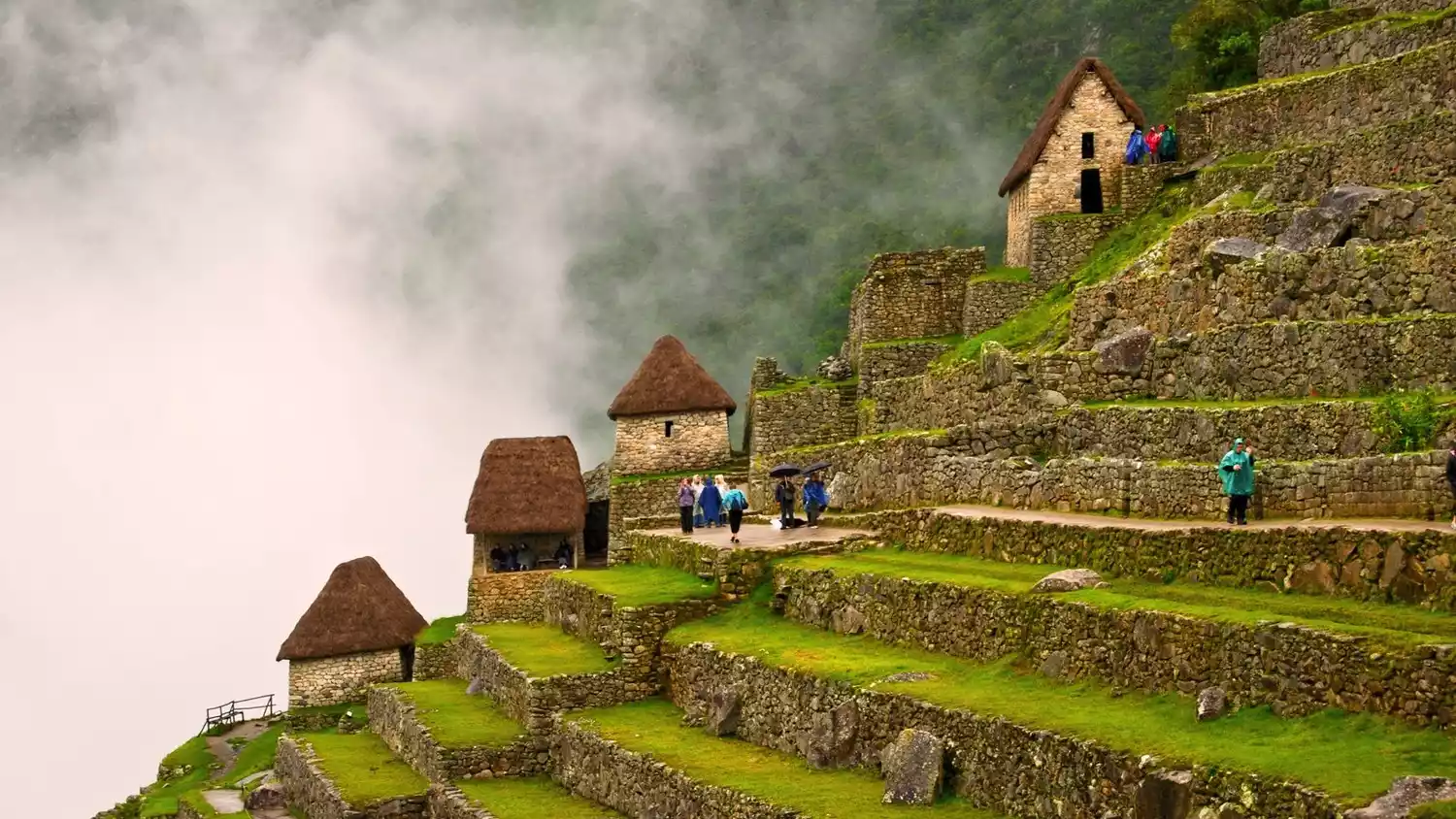 We will pass through the cloud forest covering the cliffs to reach the ruins of Puerta del Sol, in time to catch the sunrise over the mountain city of Machu Picchu. We will also be able to see the pyramid-shaped guardian peak of Huayna Picchu standing behind the square.
Tips:
English name: INCA TRAIL
Location: In the Andes Mountains in southern Peru
Best time to hike: April to August
Mileage: Approximately 43 kilometers
Important Note: To protect the site, the Peruvian government limits access to the trail to 500 per day. To enter, you must apply for a permit in advance and check in at the required entry and exit checkpoints.
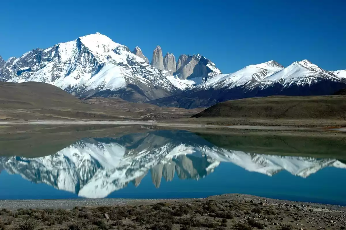
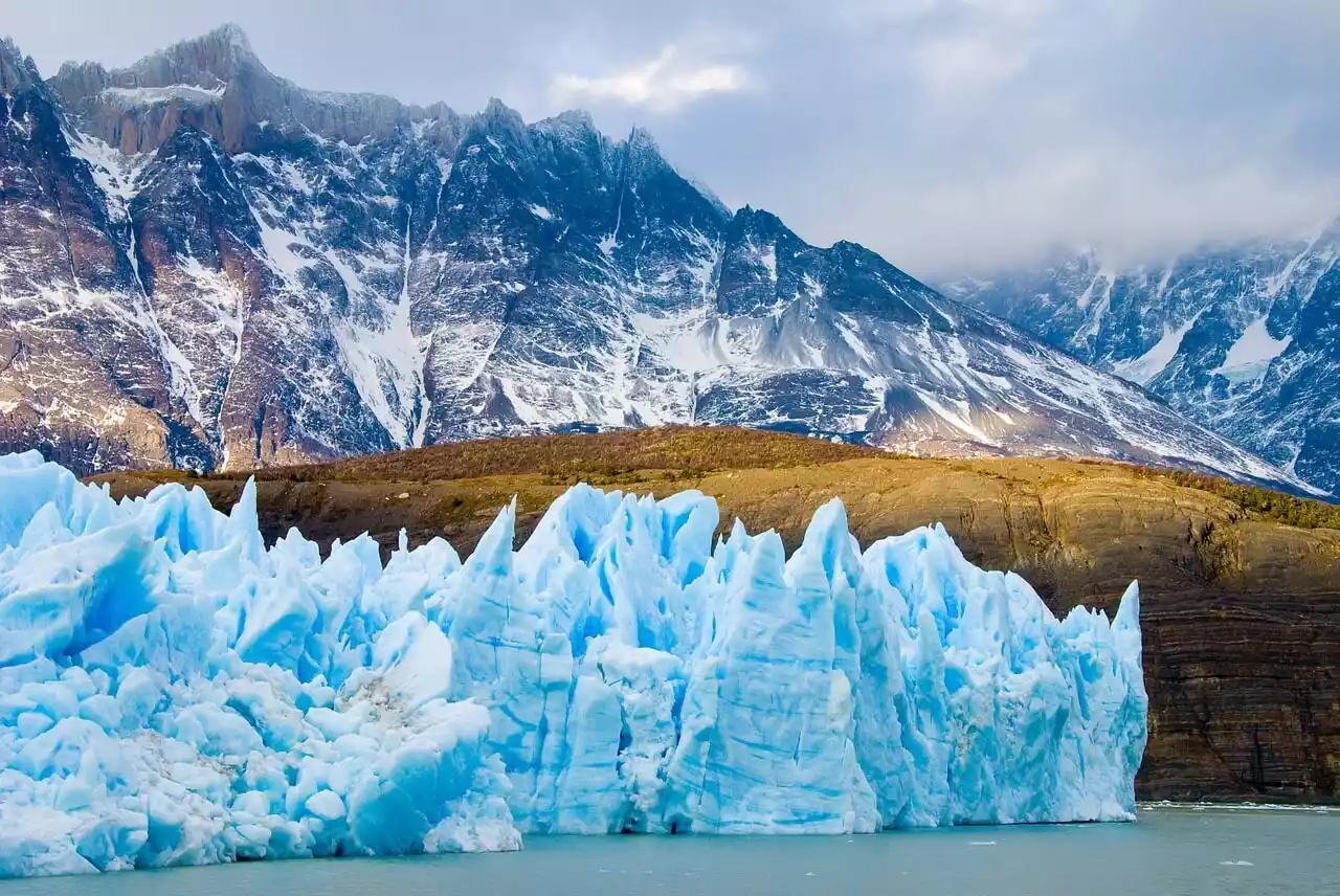
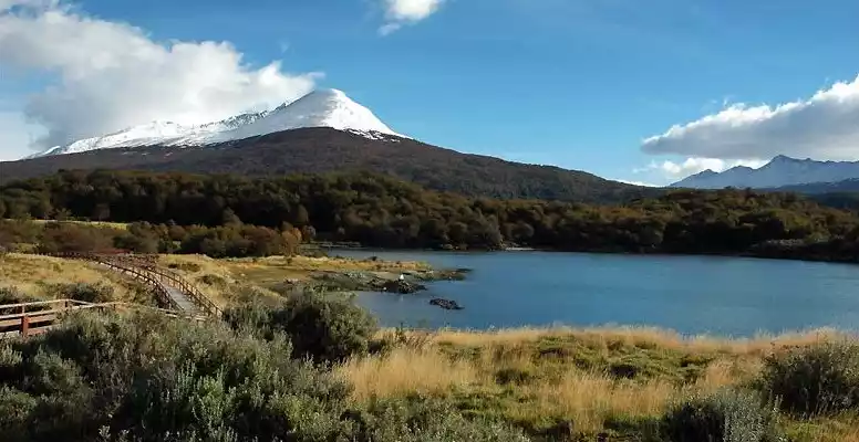
NO.3 Chile's Torres del Paine National Park W Route
The W route of Torres del Paine National Park is one of the world's top wilderness hiking routes and a paradise for hiking enthusiasts around the world.
The altitude of the Torres del Paine hiking route is basically between 50 and 300 meters, with little ups and downs, so even people without hiking experience will not find it difficult.
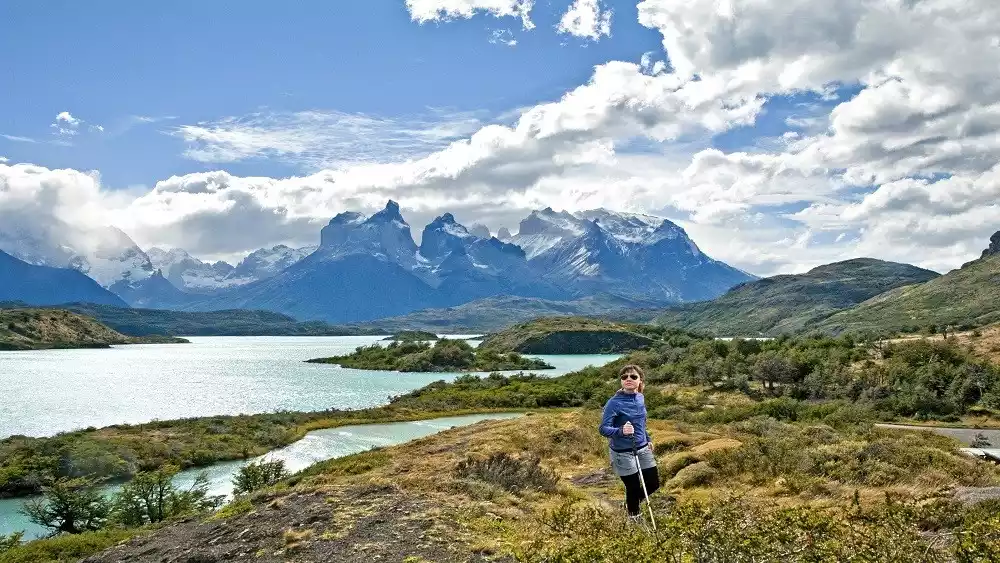
Strictly speaking, this hiking route isn't particularly challenging, but it is beautiful and dangerous enough. Snow-capped mountains, glaciers, lakes, and adorable wildlife await hikers, and breathtaking scenery abounds along the way.
Tips:
English name: TORRES DEL PAINE'S W-TREK
Location: Magallanes-Antarctica Region, Chile
Best time for hiking: November to March
Mileage: 76 kilometers
Important reminder: The park currently has no mobile phone coverage and cannot communicate with the outside world, so you must travel in groups to avoid acting alone and strictly follow the signs along the way to take the prescribed safe route.
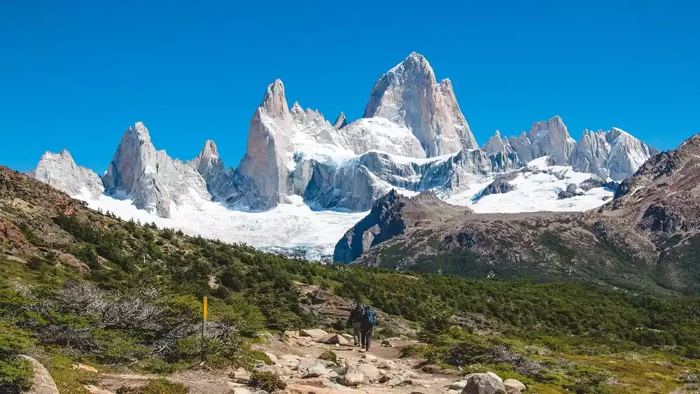
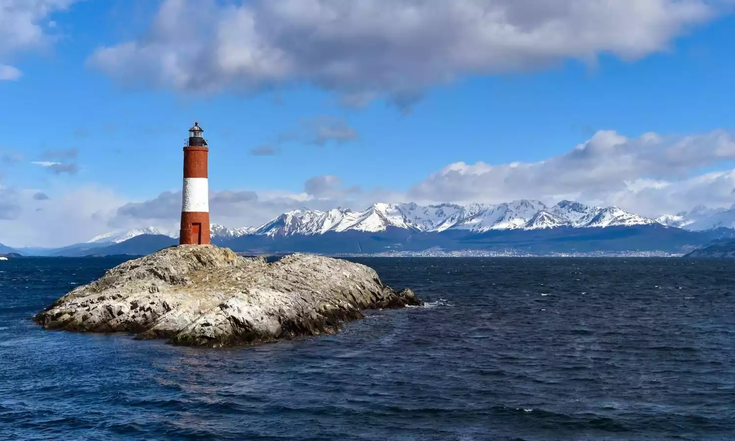
NO.4 Hiking along the coast of Tierra del Fuego, Argentina
The Andes Mountains gradually slowed down their pace of expansion at the southernmost tip of South America and coexisted peacefully with the glaciers, shaping Tierra del Fuego with fjords, snow-capped peaks, lakes and forests.
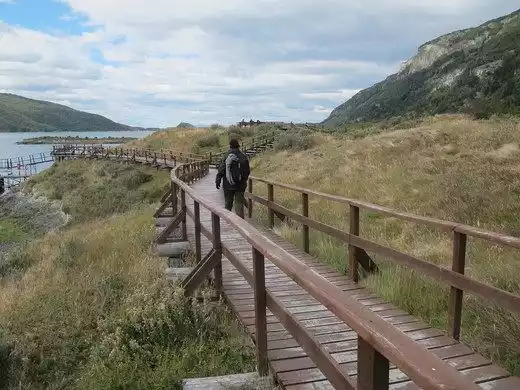
To fully utilize its coastline and encompass the island's most iconic scenery, Tierra del Fuego established its first Coastline National Park.
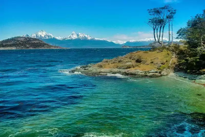
Four hiking routes and six short trails that extend freely around the beautiful scenery of the park present the world's southernmost post office, lakes, roads, etc.
Hiking is the most intimate way to experience Tierra del Fuego and its natural wonders. Hiking Route 2, a coastal path connecting Ensenada Bay and La Pataya Bay, offers a leisurely journey through pristine forest and beaches, encountering diverse flora and fauna. At Ensenada Pier, the sight of the blue and white Argentinian flag and red mailbox signifies you've arrived at the southernmost post office on this stretch of road.
Tips:
English name: TIERRA DEL FUEGO'S COASTAL TRAIL
Location: Tierra del Fuego National Park, Ushuaia, Tierra del Fuego Province, Argentina
Best time to hike: December to February
Mileage: 8 kilometers
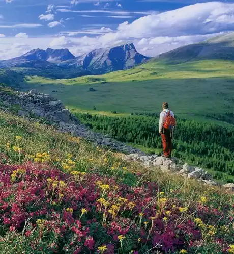
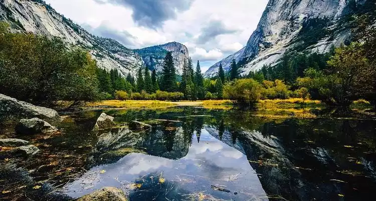
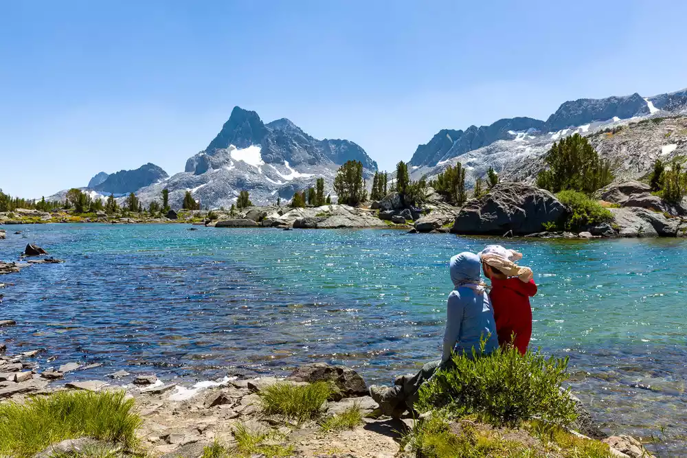
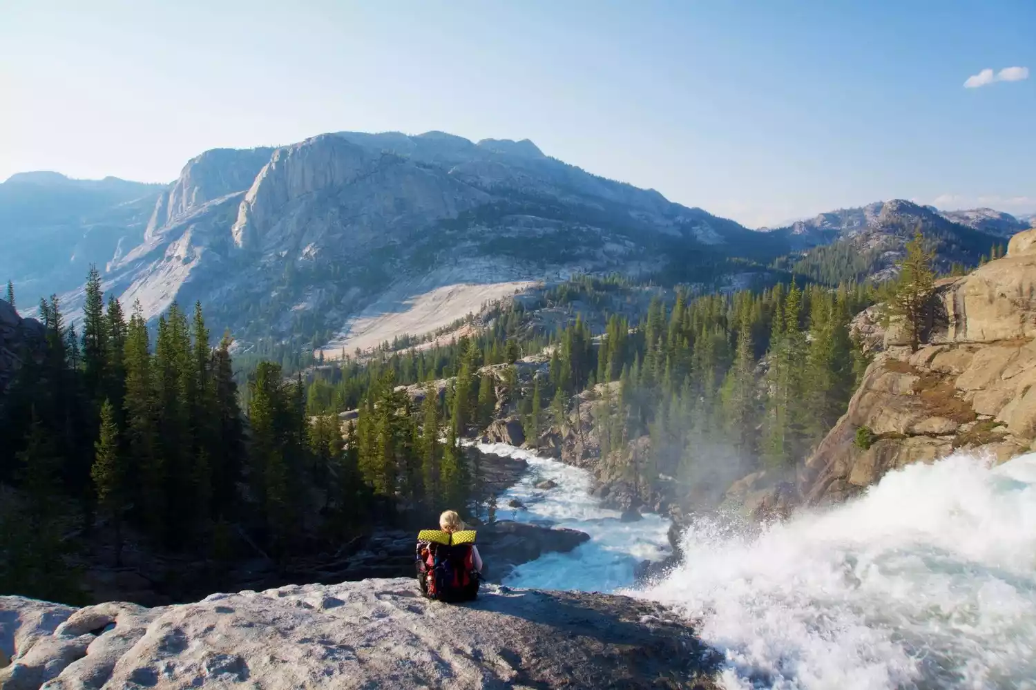
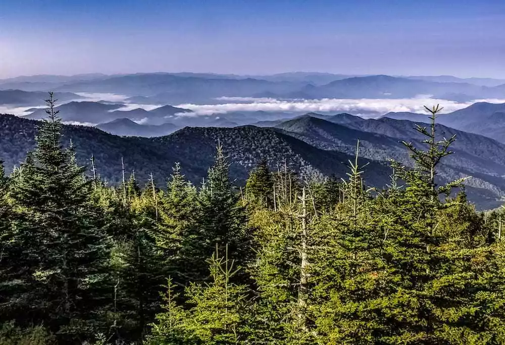
NO.5 John Muir Trail, USA
John Muir is a famous American wilderness explorer. In 2014, to commemorate the 100th anniversary of John Muir's death, this trail named after John Muir was officially opened to the public. The starting point of the trail is John Muir's birthplace.
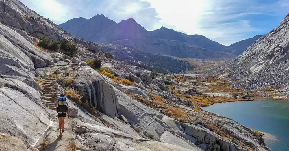
This hiking trail is undoubtedly the top choice among North American hikers. Although it's called a "trail," it's actually 356 kilometers long and takes 30 days to complete.
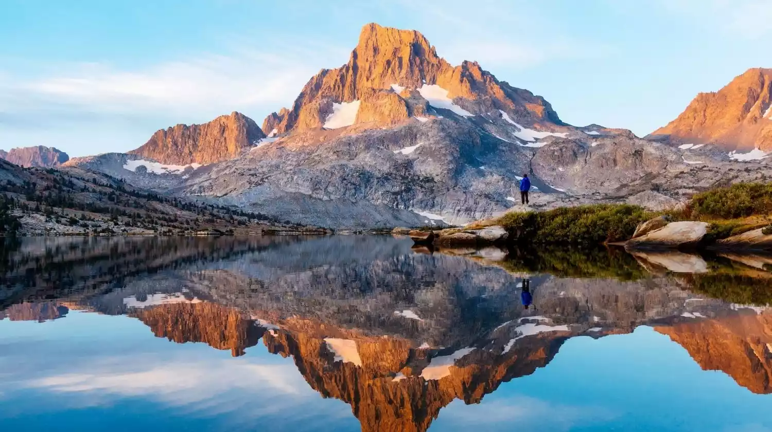
The trailhead begins in Yosemite National Park and heads south, a direction that will give you more time to acclimate to the increasing altitude and build up your endurance as the terrain becomes more challenging.
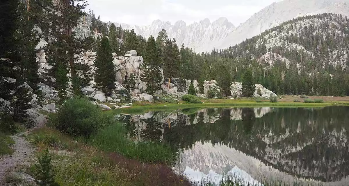
After setting off, we will pass through Yosemite National Park, Ansel Adams Wilderness, Sequoia National Park, Kings Canyon National Park, and finally end at Mount Whitney, the highest peak in the continental United States.
Tips:
English name: JOHN MUIR TRAIL
Specific location: Eastern California, USA, bordering the central plains of California to the west and the desert of Nevada to the north
Best time to hike: mid-June to mid-September
Mileage: 356 kilometers
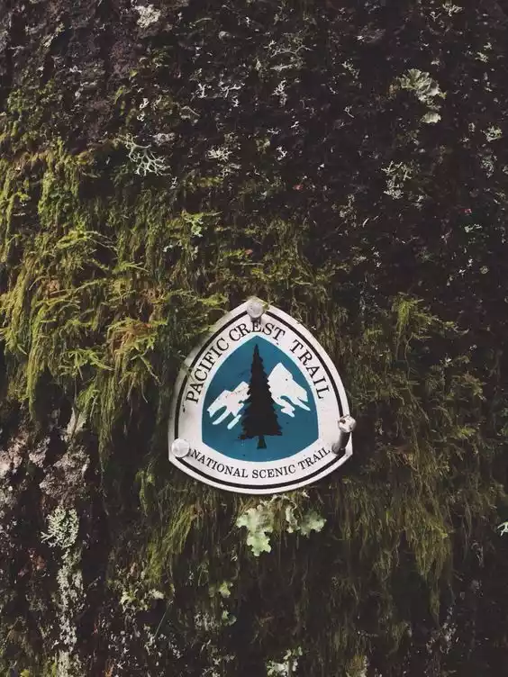
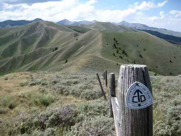
No. 6 Pacific Crest Trail, USA
As one of the two earliest planned national trails in the United States, the Pacific Crest Trail starts from Mexico in the south and ends in Canada in the north, passing through 25 national forests and 7 national parks: Mount Rainier National Park, Crater Lake National Park, Sequoia National Park and Yosemite National Park, etc. It can be said to be a microcosm of the entire West Coast.
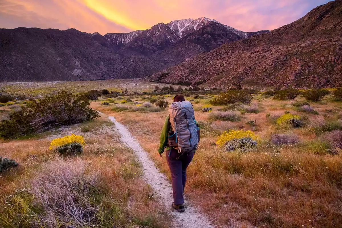
Beyond the scenery, Cheryl Strider, who had experienced the pain of losing her mother and divorce, embarked on a Pacific Crest Journey on the edge of the Mojave Desert to find herself. After completing the journey, she wrote her memoir "Wild", which, together with the movie remake, set off a "wilderness" effect, giving this road the magic of rebirth, attracting those who try to break free from the constraints of a conventional life.

The Pacific Crest Trail has become a symbol of the wilderness spirit, where a group of people who want to find themselves, try to change and dare to challenge themselves embark on a lonely and free journey.
Tips:
English name: PACIFIC CREST TRAIL
Location: The West Coast of the United States, running through the states of Washington, Oregon, and California. It begins near Campo, a small town on the border between California and Mexico, and ends at Monument 78 on the border between the United States and Canada.
Best time to hike: April to September
Mileage: 4,265 kilometers
Important note: Any hiker who hikes over 800 km needs to apply for a PCT Long Distance Hiking Permit.
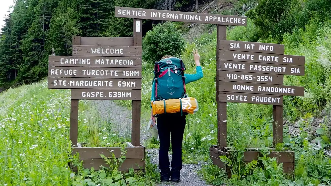
NO.7 Appalachian Trail, USA
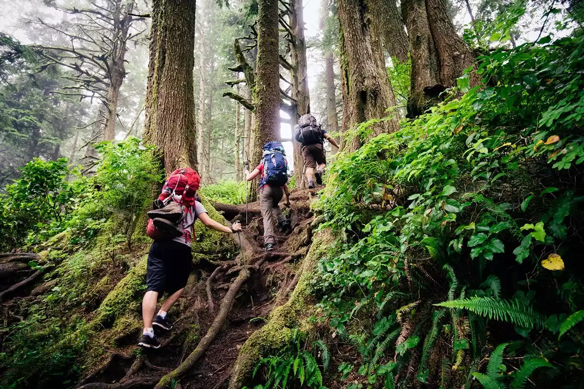
The Appalachian Trail, often referred to as the AT, is an iconic hiking route in the eastern United States that runs through the Appalachian Mountains. It is the longest hiking trail in the world.
Most hikers choose to hike short distances, but many try to complete the entire journey.
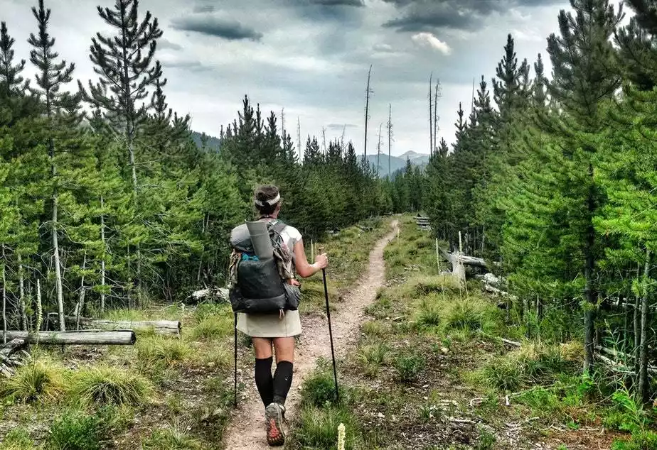
To date, nearly 14,000 hikers have completed the trail. The entire trek takes approximately 5-7 months. The trail is marked with white paint and concrete signposts at key locations, with one every 16-19 kilometers. There are 275 shelters for hikers, and some residential homes are also maintained and rented out by the ATC, but hikers generally camp throughout the entire trek, without using these facilities.
Tips:
English name: APPALACHIAN TRAIL
Location: Appalachian Mountains on the east coast of the United States, from Maine across New Hampshire to Springer Mountain in Georgia.
Best hiking season: Spring and summer
Mileage: about 3,500 kilometers
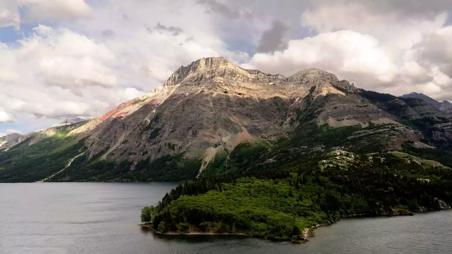
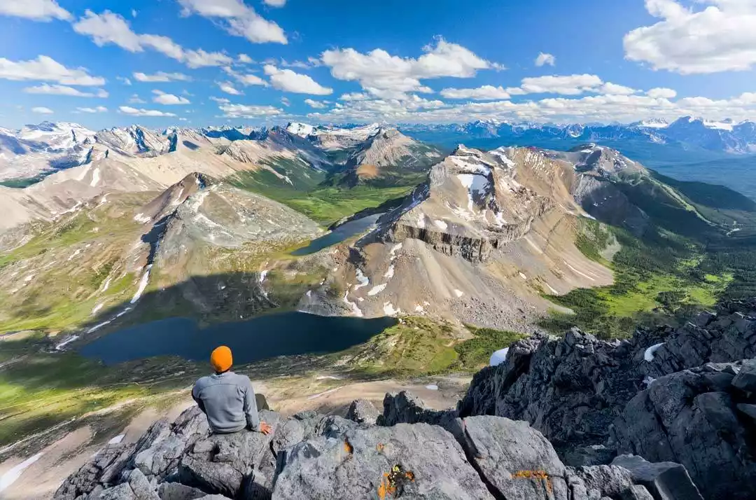
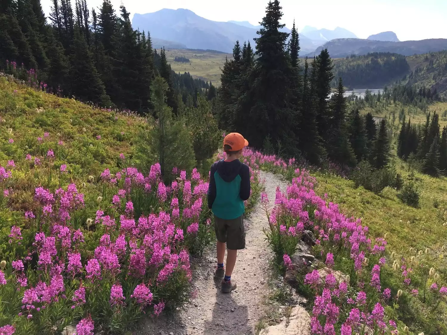
NO.8 Canada's Great Divide Trail
The Rocky Mountains stretch over 4,800 kilometers from British Columbia in Canada to New Mexico in the United States, making them the backbone of North America.
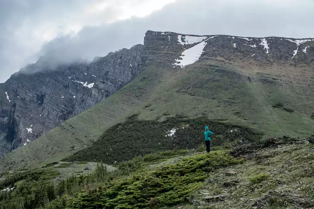
This area has many mountains, countless streams and lakes, and rich flora and fauna. The world-famous, wild, epic long-distance hiking route, the Great Divide Trail of Canada, was born here. It is a paradise that hikers from all over the world want to conquer.
The Great Divide Trail is one of the most spectacular and challenging hikes on Earth, stretching over 1,100 kilometers through the vast wilderness of the Canadian Rockies and crossing the Continental Divide at least 30 times.
The route needs to pass through Waterton Lakes National Park, Kootenay National Park, Yoho National Park, Banff National Park, etc.
Tips:
English name: Great Divide Trail
Location: Between British Columbia and Alberta, Canada
Best time to hike: mid-July to mid-August
Mileage: 1,200 kilometers
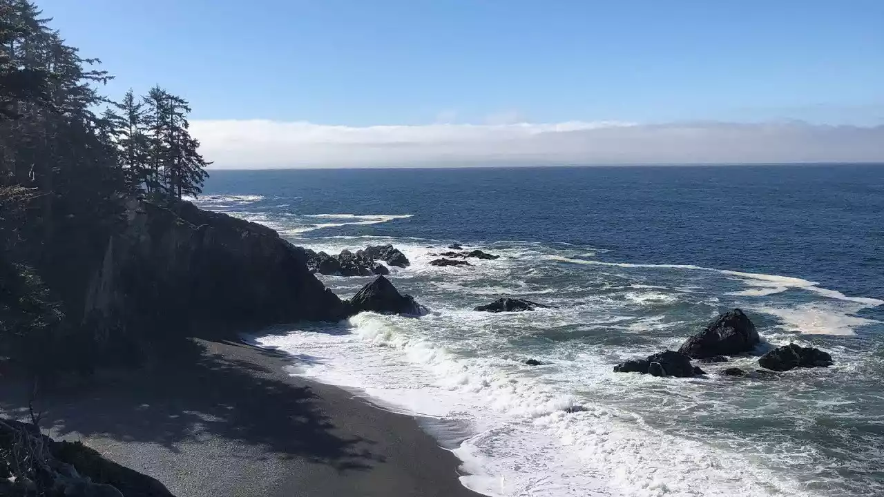
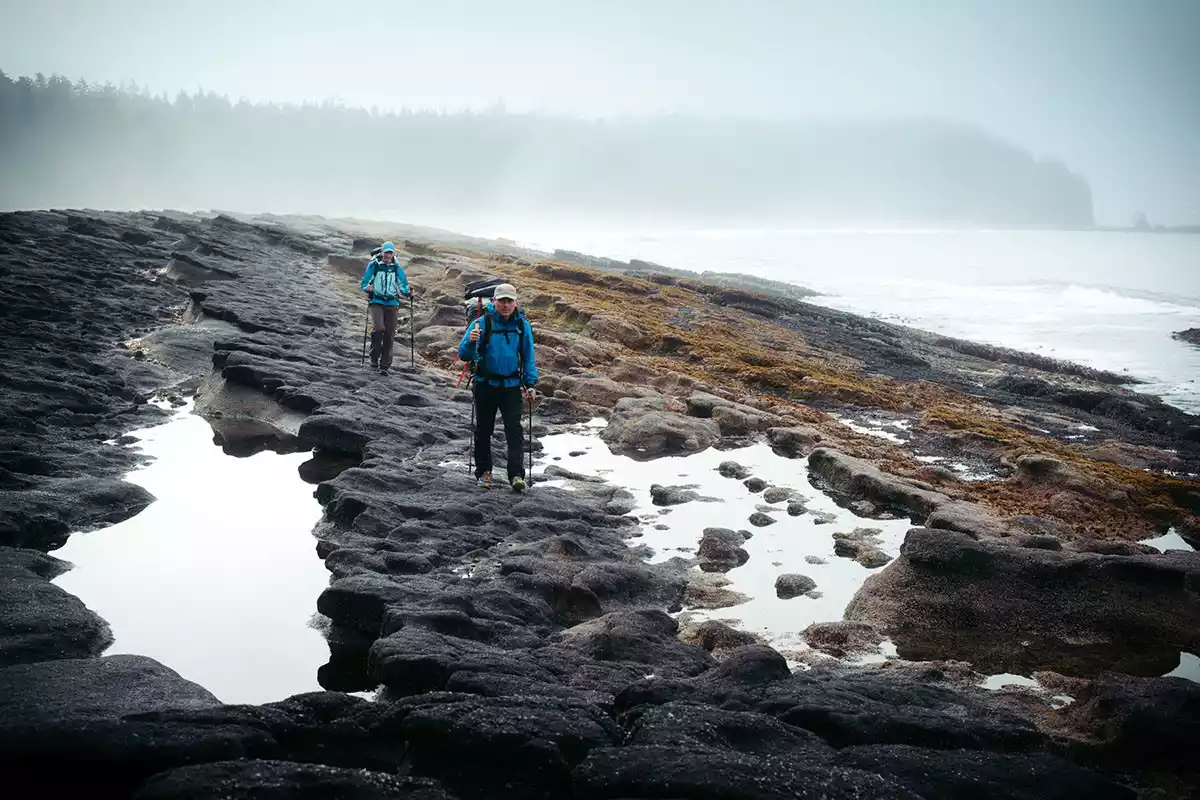
NO.9 Canada West Coast Trail
More than 100 years ago, this 75-kilometer lifeway was mainly used to search and rescue victims of shipwrecks.
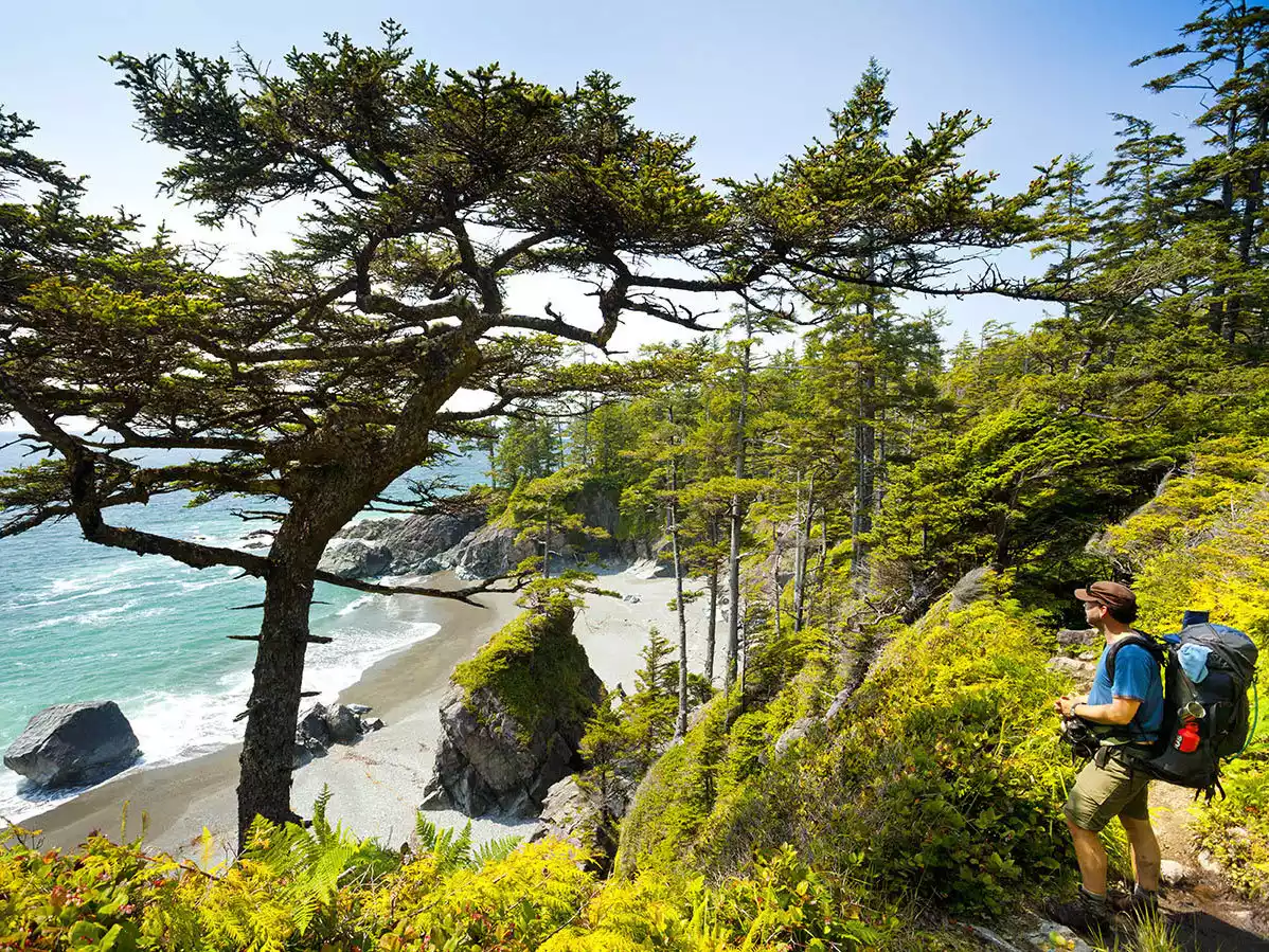
As the route became known, it became known as the West Coast Trail and has become Vancouver Island's premier adventure destination.
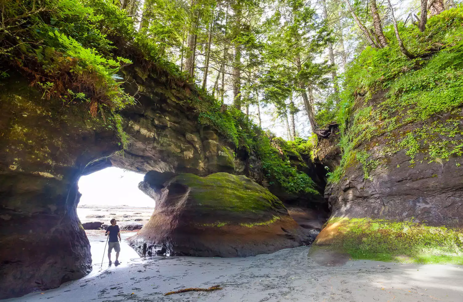
It has conquered the world with its breathtaking beauty and has become a mecca for hiking enthusiasts worldwide. The trail is open from May to September each year and the entire hike takes 5-7 days.
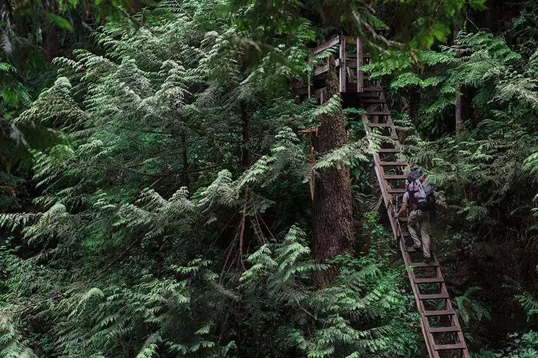
The entire route has undulating terrain and the road conditions are complex and changeable. You must be prepared to trek through muddy paths, moss-covered wooden bridges, slippery boulders and seaweed-covered coastlines.
In order to protect the pristine natural environment of this route, the Canadian government only allows 7,000 people to enter each year, which means that the route is only open for 5 months, and an average of only 47 people enter every day, because hiking spots generally need to be booked six months in advance through the national park website.
Tips:
English name: West Coast Trail
Location: Pacific Rim National Park, southwest of Vancouver Island, Canada
Best time to hike: May to September
Mileage: 75 kilometers
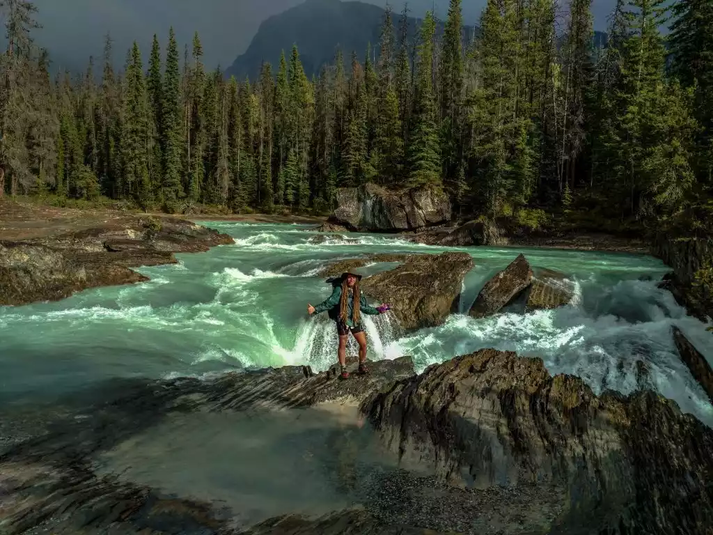
NO.10 Canada Yanggu Grassland Hiking
Sunshine Meadows is located in the watershed of the Rocky Mountains. It is a large grassland belt in Banff National Park, surrounded by some of the iconic peaks of the Rocky Mountains.
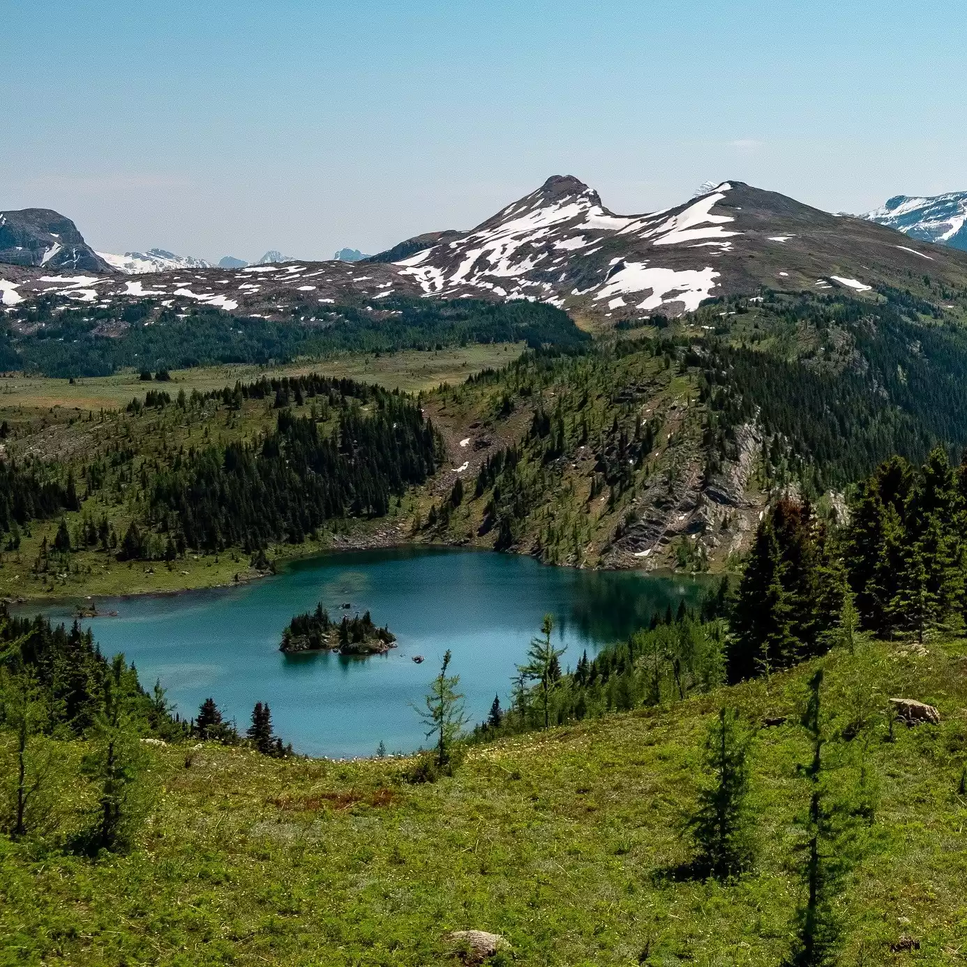
The route passes through Rock Island Lake, which is one of the most photographed wilderness scenes in the Canadian Rockies. The lakeside trails are covered with larch trees, and the island in the middle of the lake is isolated from the world. Any shot can be a blockbuster.
The hiking trail is roughly divided into three sections: Rock Island Lake, Grizzly-Larch Lake Road, and Grassland Park Road. The Grassland trail is narrow and only accessible to one person. Signs and markings are in place along the way, so be especially careful at forks in the trail.
Tips:
English name: SUNSHINE MEADOWS TREK
Location: Banff National Park, Alberta, Canada
Best time for hiking: July to October
Mileage: 11 kilometers