Laji Mountain
What are the most recommended things to do in Laji Mountain?
- Hike along scenic trails to enjoy panoramic mountain views.
- Observe the unique alpine flora and fauna native to Laji Mountain.
- Take photographs of the high-altitude landscapes and sunrise/sunset vistas.
- Explore local Tibetan and Qinghai cultural sites near the mountain.
- Camp or picnic in designated areas for a nature-immersed experience.
Introducing Laji Mountain
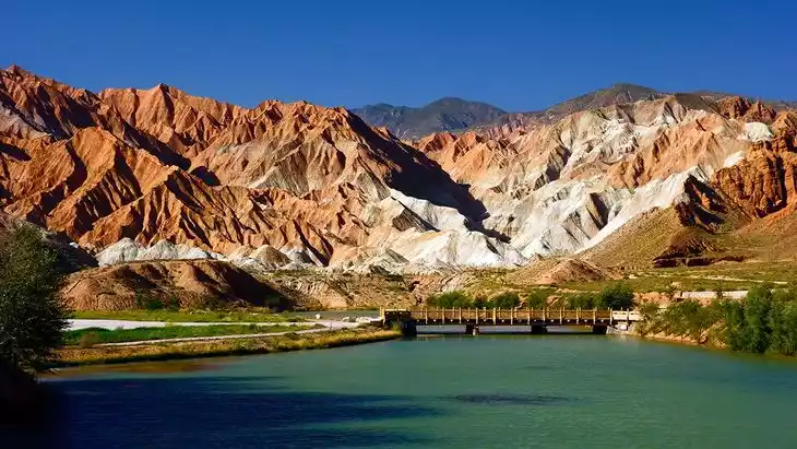
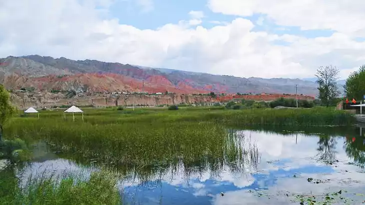
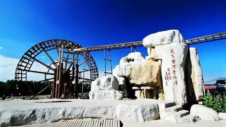
Located in Guide County, Hainan Prefecture, Qinghai Province, Laji Mountain is a branch of the Sun and Moon Mountains. Known in Tibetan as "Gongmaola," it means "place where the Galaji (stone partridge) lives." Laji Mountain forms the boundary between Guide and Huangzhong, winding from west to east. Its highest peak is 4,524 meters above sea level. The Laji Mountain Pass, at 3,820 meters, is strategically located, traversed by the Ningguo Highway. South of the pass, there's also a road to Huangyuan. The northern slopes of Laji Mountain are steep, with many exposed rocks. Except in summer, they are often covered in snow. The southern slopes are gentler, ideal for pasture growth. Laji Mountain is a branch of the Sun and Moon Mountains. Known in Tibetan as "Gongmaola," it means "place where the Galaji (stone partridge) lives."
Climate and best time to travel
Guide, located deep inland, has a plateau continental climate with long sunshine hours and strong solar radiation. Spring is dry and windy, summer is short and cool, autumn is damp and rainy, and winter is long and dry, with large daily temperature fluctuations.
Recommended number of days and locations for visiting
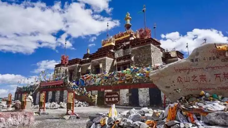
The Laji Mountains have formed many mountain passes due to the cutting of the river system. Qingsha Pass, Laji Pass, and Riyue Pass are all important transportation routes in and out of Xining.
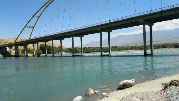
The Laji Mountains generally run from northwest to southeast. The eastern section, which runs nearly east-west, constitutes the main body of the Laji Mountains. The western section, running nearly northwest to southeast, is called the Sun and Moon Mountains. Sun and Moon Mountains, also known as Nalasala and formerly known as Chiling, lie between the Sun and Moon Pass and the Ganzi River estuary. It is 90 kilometers long and 10-20 kilometers wide. Most peaks are around 4,000 meters above sea level, with the highest peak, Aledawan Mountain, at 4,455 meters.
Since ancient times, Riyue Mountain has been an important transportation route between the east and west of Qinghai Province, and the highway and railway from Xining to Golmud pass through it.
Tickets
free
Attraction opening hours
All day
Most Popular FAQs for Laji Mountain
What is the history and significance of this attraction/city?
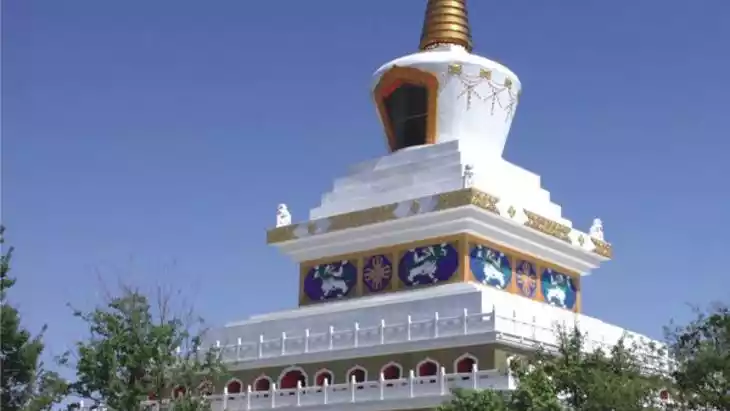
Laji Mountain is part of the Qilian Mountain range in Qinghai, known for its ecological significance and biodiversity. It serves as an important watershed and is culturally significant to local Tibetan and Mongolian communities.
Where is it located and how do I get there (metro, bus, taxi, walking)?
Laji Mountain is located in Qinghai Province, accessible by car or taxi from nearby towns. Public transport is limited, so private vehicles or organized tours are recommended. Walking or hiking is required to explore trails on the mountain itself.
What are the opening hours and best times to visit?
The mountain is open year-round, but the best time to visit is from May to September when the weather is mild, and trails are accessible. Early mornings provide the best light for photography.
What is the entrance fee/ticket price, and how to buy tickets (online/offline)?
Entrance fees vary depending on the specific trail or scenic area. Tickets can usually be purchased onsite at the entrance or through local tourism websites.
Do I need to book tickets in advance, and how far in advance?
Booking in advance is recommended during peak tourist season (summer months). A few days to a week ahead is usually sufficient.
How much time is needed to fully explore it?
Exploring the main trails and viewpoints typically requires 3–6 hours. Longer hikes or camping trips may take a full day or overnight.
What are the must-see highlights or main areas inside?
- Main mountain peaks and ridges for panoramic views
- Alpine meadows and unique flora
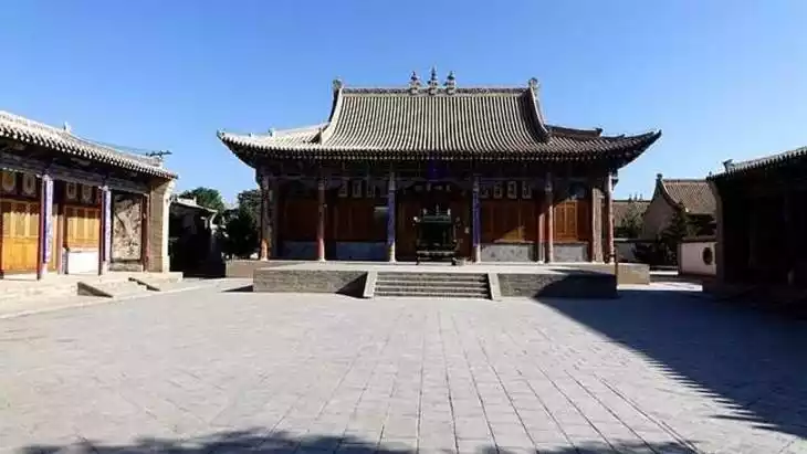
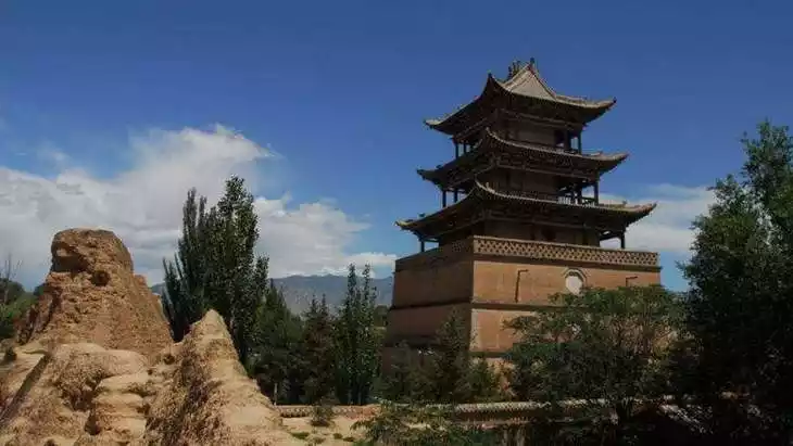
- Local cultural or religious sites nearby
- Sunrise and sunset viewpoints
Are guided tours or audio guides available (and in which languages)?
Local guides are available in Chinese. English-speaking guides are limited and should be arranged in advance through tour operators.
What are the best viewpoints or photography spots?
- Summit points and high ridges overlooking the valley
- Scenic spots along alpine meadows
- Sunrise and sunset locations for dramatic lighting
- Near streams and natural rock formations
What is the recommended route or itinerary inside?
- Start at the main entrance and follow marked hiking trails
- Visit the key peaks and viewpoints first
- Stop at scenic meadows and water features for photos
- Return via the scenic descent trail, stopping at cultural or natural highlights
Are night visits, light shows, or special tours available?
Night visits are generally not recommended due to safety concerns. Special guided hikes may be available on request but are rare.
Is it crowded, and when are the least crowded times/days to visit?
The mountain is generally quiet, with more visitors during summer weekends. Weekdays offer the least crowded experience.
What facilities are available (toilets, food, water, rest areas, shops)?
Basic facilities include rest stops, public toilets at key trailheads, and small local food stalls. Carry sufficient water and snacks for longer hikes.
Is the attraction accessible for elderly, children, or disabled visitors?
Some trails are steep and high-altitude, making them challenging for elderly or disabled visitors. Shorter, easier paths may be suitable for children and casual visitors.
Is cash needed or are cards/mobile payments accepted?
Cash is often required for small entrances and local services. Mobile payments are increasingly accepted in nearby towns.
What restaurants or cafes are available inside or nearby?
Nearby towns have local restaurants serving Qinghai specialties. Mountain-side stalls may offer simple refreshments.
Are there vegetarian/vegan/halal food options?
Vegetarian options are available in local eateries. Halal options exist in towns with Muslim communities, but planning ahead is recommended.
What hotels or accommodations are close to the site?
Guesthouses and small hotels in nearby towns provide accommodations. Some eco-lodges and camping sites are available near trailheads.
What other attractions or landmarks are nearby and easy to combine in a day trip?
- Qilian Mountain scenic areas
- Local Tibetan villages and cultural sites
- Lakes and grasslands suitable for photography and nature walks
Are there souvenir shops and what are the typical souvenirs?
Souvenirs include local handicrafts, wool products, prayer flags, and Tibetan-themed items.
What are the best transportation options to continue the trip after visiting?
Return to nearby towns via taxi or private car. Local bus services are limited, so pre-arranged transportation is recommended for continuing the journey.