101 Danxia Highway
What are the most recommended things to do in 101 Danxia Highway?
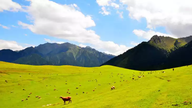
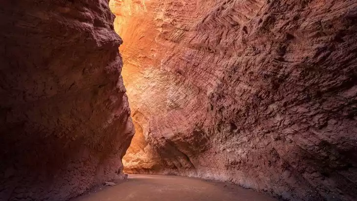
- Drive or cycle along the scenic 101 Danxia Highway to enjoy the colorful Danxia landforms.
- Stop at designated viewpoints for panoramic photography of the unique rock formations.
- Hike short trails to explore natural rock formations up close.
- Visit nearby geological or cultural sites along the highway.
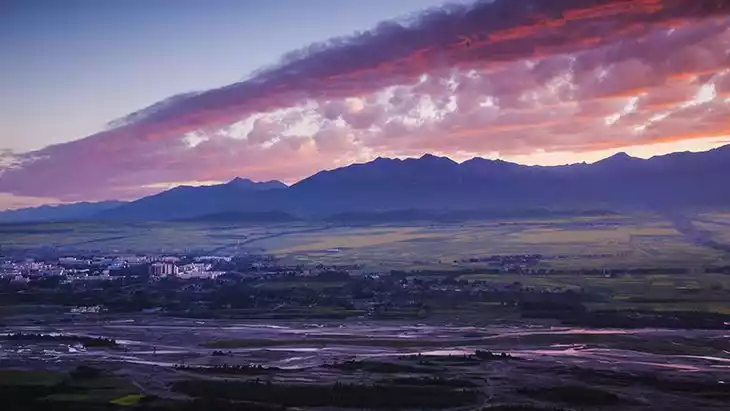
- Enjoy sunset or sunrise views for the most dramatic lighting on the landscapes.
Introducing 101 Danxia Highway
Xinjiang's Provincial Highway 101, also known as the National Defense Highway, was built in the 1960s to prepare for war and famine and protect against Soviet revisionist attacks. Off-road vehicles are a natural advantage here, extending deep into the landscape, offering a dazzling array of colors along the way.
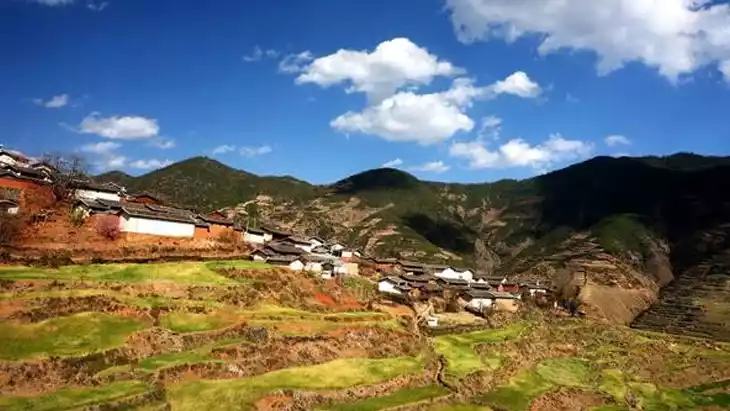
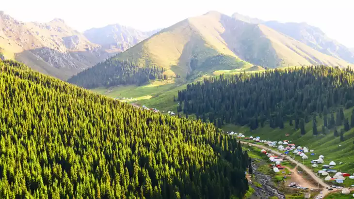
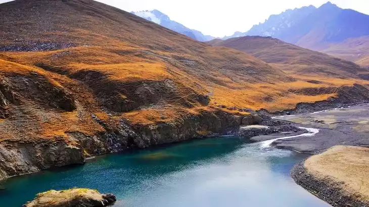
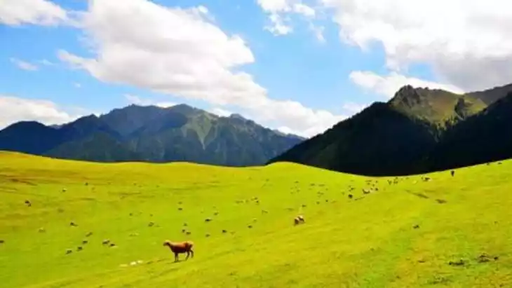
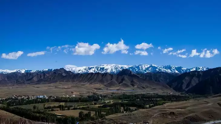
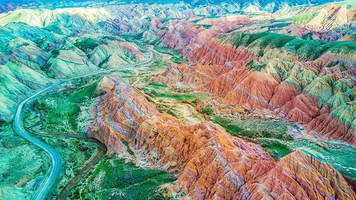
The 101 Danxia Highway is a sea of colors with cliffs, hills and gullies that integrate the Yardang landform and stone forest landform. It has clear horizontal layers and rich vertical folds.
This highway boasts breathtaking scenery, with distinct layers of landscape on both sides. It's an excellent route for photography, exploration, hiking, and painting. It's also the road to the magnificent Danxia Scenic Area at the northern foot of the Tianshan Mountains. From a high vantage point, Provincial Highway 101 looks like a crouching dragon, nestled amidst the vibrant Danxia formations.
Recommended number of days and locations for visiting
Recommended play time:
Tickets
free
Attraction opening hours
All day
Most Popular FAQs for 101 Danxia Highway
What is the history and significance of this attraction/city?
The 101 Danxia Highway is notable for its route through Xinjiang’s rare Danxia landforms, showcasing colorful layered rock formations formed over millions of years. It provides both geological insight and scenic beauty, making it significant for natural tourism and photography.
Where is it located and how do I get there (metro, bus, taxi, walking)?
Located near Urumqi, Xinjiang. Best accessed by car or taxi. Some tour buses may offer excursions along the highway. Public transport is limited.
What are the opening hours and best times to visit?
The highway is open year-round. Best visiting times are spring and autumn for mild weather and clear skies; early morning or late afternoon provides optimal lighting for photography.
What is the entrance fee/ticket price, and how to buy tickets (online/offline)?
Entry is usually free; some scenic areas or parking zones may charge a small fee payable on-site.
Do I need to book tickets in advance, and how far in advance?
Booking is generally not required unless joining a guided tour or visiting specific scenic areas along the highway.
How much time is needed to fully explore it?
Allow 3–5 hours to drive the full length of the highway with stops for photography and short hikes.
What are the must-see highlights or main areas inside?
- Colorful Danxia rock formations along the roadside.
- Designated viewpoints and observation decks.
- Small hiking trails that lead to unique rock features.
- Sunrise and sunset points for dramatic views.
Are guided tours or audio guides available (and in which languages)?
Guided tours may be available in Chinese; English or other language tours are rare and usually require private arrangements.
What are the best viewpoints or photography spots?
- Observation decks along the highway overlooking layered rock formations.
- Sunrise and sunset viewpoints for vibrant colors.
- Key hiking trail endpoints offering close-up views of the Danxia formations.
What is the recommended route or itinerary inside?
Start from the highway entrance near Urumqi, stop at major scenic points in order along the route, take short hikes at select areas, and finish at the main exit while capturing panoramic photographs along the way.
Are night visits, light shows, or special tours available?
Night visits are generally not recommended due to safety. No light shows are offered; special tours may be arranged through local travel agencies.
Is it crowded, and when are the least crowded times/days to visit?
Less crowded on weekdays; weekends and public holidays attract more visitors, especially for photography tours.
What facilities are available (toilets, food, water, rest areas, shops)?
Basic facilities include rest stops, parking areas, and occasional small food stalls. Bring water and snacks for longer stretches.
Is the attraction accessible for elderly, children, or disabled visitors?
Main viewpoints and the highway itself are accessible by car, but hiking areas may be challenging for elderly or disabled visitors.
Is cash needed or are cards/mobile payments accepted?
Cash is recommended for small parking fees or roadside services; mobile payments may be accepted at some stops.
What restaurants or cafes are available inside or nearby?
Limited roadside eateries; small local restaurants can be found in nearby towns along the highway.
Are there vegetarian/vegan/halal food options?
Halal food is common; vegetarian options exist but may be limited along the highway.
What hotels or accommodations are close to the site?
Hotels and guesthouses are available in Urumqi and nearby towns; few accommodations directly along the highway.
What other attractions or landmarks are nearby and easy to combine in a day trip?
- Red Hill (Hong Shan) Scenic Area
- Xinjiang Regional Museum in Urumqi
- Nearby desert landscapes and rock formations
Are there souvenir shops and what are the typical souvenirs?
Small souvenir stalls offer local handicrafts, postcards, and mineral rock samples.
What are the best transportation options to continue the trip after visiting?
Private car or taxi for onward travel; local bus options may require transfers to reach Urumqi or nearby attractions.