Hike the 100km MacLehose Trail in Hong Kong: A Guide to the Highlights
Preface
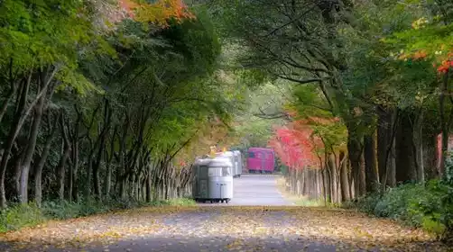
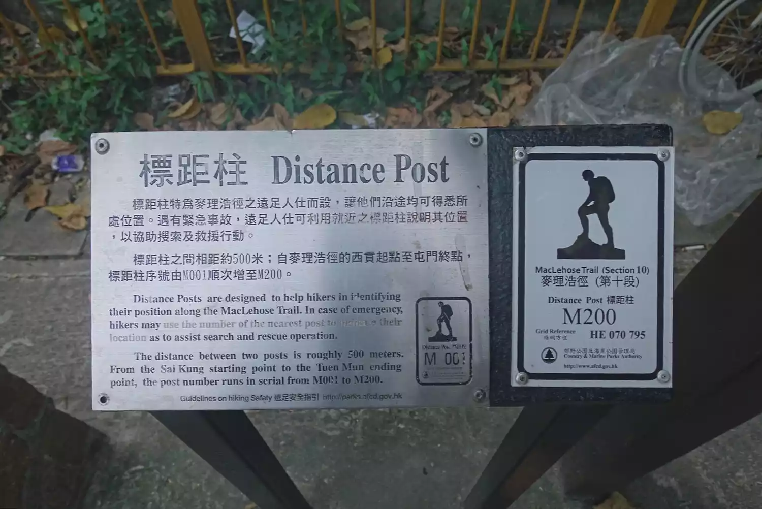
The MacLehose Trail is Hong Kong's first long-distance hiking trail, opened in 1979 and named after Hong Kong Governor Sir Murray MacLehose. It stretches approximately 100 kilometers across ten sections, stretching from Pak Tam Chung in Sai Kung in the east to Tuen Mun in the west, passing through eight country parks.
Each section varies in difficulty, connected by mountain trails, stone steps, ancient paths, concrete paths, and roads. Along the way, you'll climb mountains, admire bays, visit reservoirs, and explore ancient trails. The scenery is varied and the signs are clear and well-marked, making this the most comprehensive long-distance hiking trail in Hong Kong.
To sum up the MacLehose Trail in one sentence: beautiful scenery, clear guidance, mature and safe routes, and you can descend at any time with supplies.
Preliminary preparation and planning
Route and itinerary planning
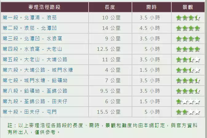
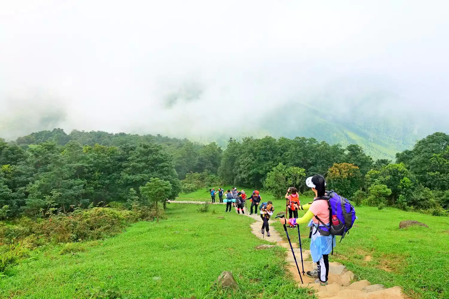
The MacLehose Trail is divided into ten sections, each varying in length, difficulty, and scenery. The difference between a one-day tour and a two-day or longer one is that multi-day tours require consideration of accommodation and supplies. Because the MacLehose Trail is well-preserved, there are few commercial facilities.
The only youth hostel on Maijing is located in Section 2. Due to its scarcity, it is very popular on weekends and holidays, and it is not certain to be available even if you book a month in advance.
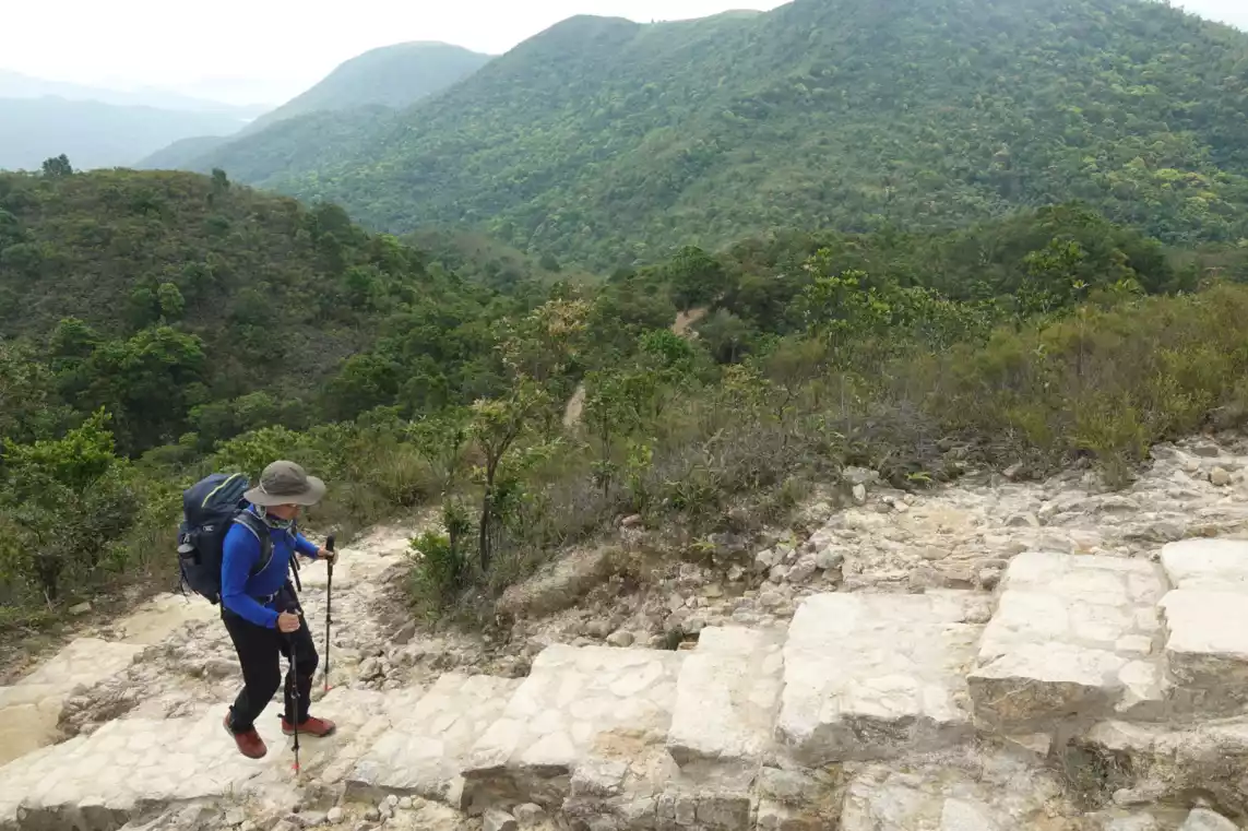
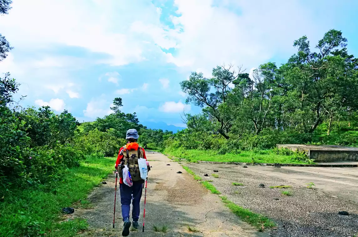
If you're looking to tackle the entire Mai Trail, consider either: 1. Hiking and camping with heavy gear, or 2. Hiking with light gear, then descending and staying overnight, then continuing the next day. This section focuses on hiking and camping with heavy gear.
Tips:
Legal camping spots on MacLehose Trail:
M015-M016 near Baila Camp
M021-M022 near Langke Bay Beach Campground
M031-M032 near Xiwan Campground
M035-M036 near Xiantian Bay Campground
M047-M048 near Niuhudun Campground
M048-M049 near the Yellowstone Pier Campground
M055 Barrier Camp
M070-M071 near Shuilangwo Campground
M082-M083 near Ngong Ping Camp
M094-M095 near Kivir Campground (private campground)
Lead Mine Pass Camp near M137-M138
Tsuen Kam Campground near M156-M157
M168-M169 near Tianfuzai Camp
A 100km MacLehose Trail heavy hike would take three days or more. Assuming a heavy hike speed of three kilometres per hour, it would take about 33 hours.
However, as working people, we don’t have many holidays, and even fewer holidays that are more than three days long. So this three-day 100-kilometer trip across the McDonnell Douglas Trail comes in handy.
3-day 100km journey through the Mai Trail
Day 1: Cross the Shenzhen Bay border → Start hiking from Tuen Mun, M200-M138 (32km), camping at Lead Mine Au Campsite. Hiking time: 11 hours
Day 2: M138-M48 (45km), Campsite: Beitan'ao Campsite Hiking time: 15 hours
Day 3: M48-M01 (24km) Pak Tam Chung starting point → University of Hong Kong MTR station → Lo Wu Port crossing. Walking time: 8 hours
Advantages of the trip:
1. After crossing the border at Shenzhen Bay, you can go directly to the Tuen Mun end point to start hiking, saving time.
2. There are more supply points on D2 and D3 than on the first day. It becomes easier and easier as you walk, so you can reduce your load and storage appropriately.
3. It is convenient for those who only have three days to challenge the 100km Maijing Trail.
Tips:
MacLehose Trail operating supply point information:
1. Rotary Park kiosk near M154;
2. The beverage vending machine at Chengmen near M125;
3. Beverage vending machine on Tai Po Road near M115;
4. Shatin store near M101;
5. Xisha beverage vending machine near M69;
6. Zhangshang Convenience Store near M56;
7. Beverage vending machine in Beitan'ao near M49;
8. Dalang Store near M38;
9. Ham Tin Store near M36;
10. Sai Wan store near M31
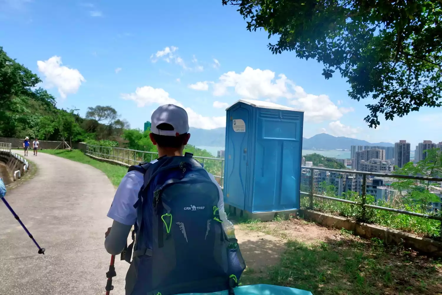
Note: Beverage vending machines only accept Octopus cards, and grocery stores only accept Hong Kong dollars, so you need to prepare Octopus cards and Hong Kong dollars. There are streams and tap water points along the MacLehose Trail, as well as some seasonal mountain water points. You can find out in advance if you need them.
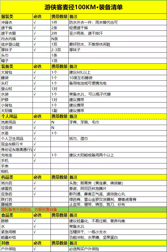
Equipment preparation
When it comes to gear, the key to packing heavily is simplicity. Avoid bringing items you won't use often. Avoid bulky or heavy items, and choose accordingly. For example, on the MacLehose Trail in the summer, you don't need a sleeping bag; just a jacket is enough. The following is a list of gear you can use as a reference.
The last thing I want to talk about is food. I think food preparation should be individualized, as everyone has different appetites and preferences. Everyone's basal metabolic rate is also different. If you are an athlete or someone who is overweight, your basal metabolic rate will be higher than that of an average person, and your energy consumption will be greater.
Tips:
The basal metabolic rate of young and middle-aged people (statistical average):
Men (basal metabolic rate): about 1500 calories
Female (basal metabolic rate): about 1200 calories
The ratio of basal metabolism to exercise consumption for ordinary people is 7:3 (that is, 70% of calories are used for basal metabolism)
Men (exercise consumption): 1500/7*3=642 kcal
Female (exercise consumption): 1200/7*3=514 kcal
at last:
Men (daily calorie consumption) = 1500 + 642 = 2142 kcal
Female (daily calorie consumption) = 1200 + 514 = 1714 kcal
Heavy hiking food consumption: 2800-3200 kcal/day, about 800 grams of dry food
Scenic spots along the way and descent routes
a section
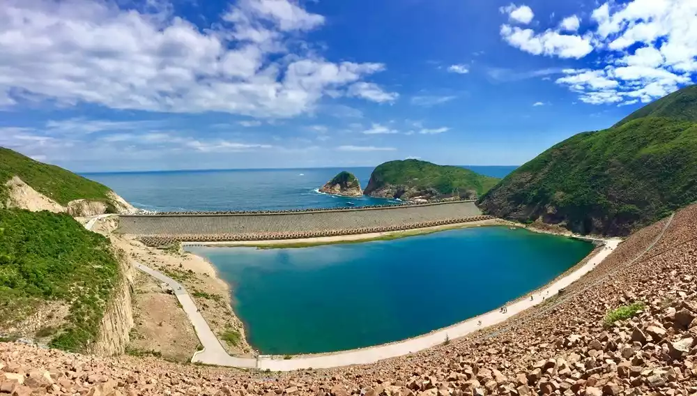
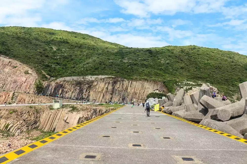
Hong Kong Global Geopark (Sai Kung Volcanic Rock Park)
This is the junction of Sections 1 and 2 of the Mak Trail, marking the end of the highway and the beginning of the hiking trail. The Sai Kung Volcanic Rock Park is characterized by its hexagonal rock columns and coastal erosion features. These hexagonal rock columns are the largest known in the world in terms of area and volume. They are composed of tuff, an acidic volcanic ash.
The rock pillars are large, with an average diameter of 1.2 meters. They stretch from the East Dam of High Island Reservoir in the north to the Kwo Chau Islands in the west, covering an area of 150 square kilometers. Most of the rock pillars are located on the seabed, but it is estimated that about 200,000 are exposed on the coast.
Descending route:
There is no public transportation available. You can take a taxi to get back to Beitan Road (Shangyao) from Xiba along the Sheung Kiln Trail.
Second paragraph
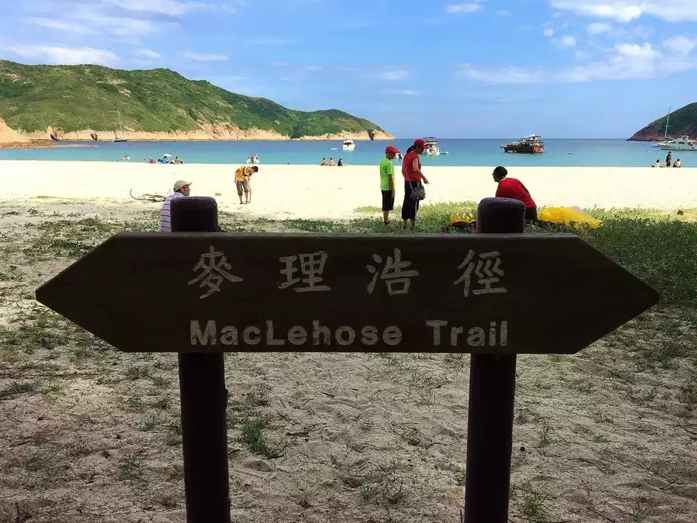
Langke Bay Beach
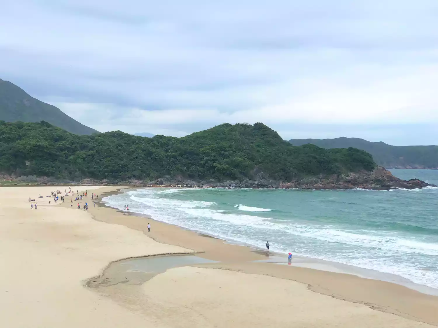
Sai Wan Beach
Xiantian Bay is also one of the classic campsites on the Maijing Trail Section 2. It has a large beach with soft and fine sand. The most interesting thing is the single-plank bridge here. As a must-pass road, it is very primitive and simple, which makes people's hearts beat fast. Those who don't want to reload and hike can choose to take a leisure tour in Sections 1 and 2.
Descending route:
1. After arriving at Chui Tong Au, turn left onto Cement Path to Sai Wan Ting and take village bus 29R to Sai Kung.
2. Arrive at Chek Keng and take a boat to Huangshi Pier
Three sections
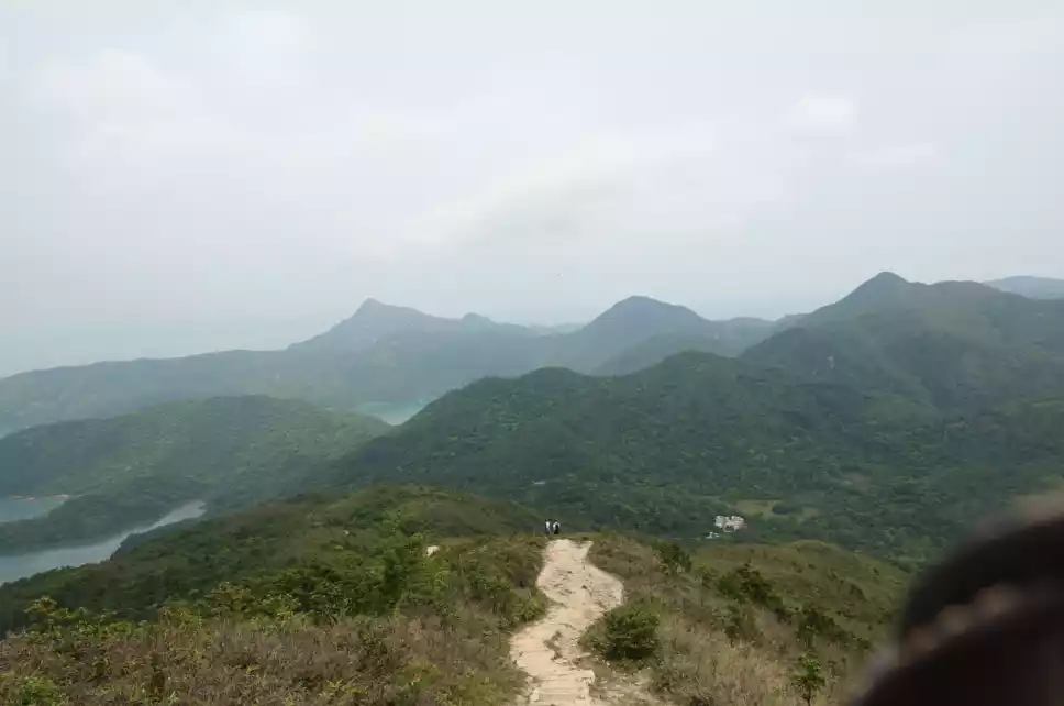
The three sections of steep climb lead to Niu Er Shi Shan. Along the way, you can overlook Chek Keng Kau, the Sai Kung Sea, and the Anaconda Peak in the distance.
Descending route:
1. After arriving at Zhangshang, you can walk along the Shangjiaoyou Trail to Haixia Road.
2. After arriving at Zhangshang, you can take the Zhangshang Country Trail to Rongshuao and then to Qilingxia.
3. At the intersection behind Huameishan, you can walk down to Quarry Lake or turn right to Rongshuao and down to Qiling.
Four sections
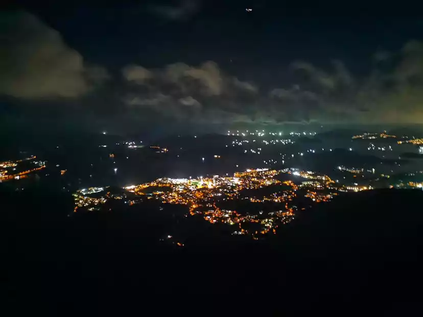
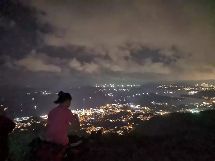
Watching the lights of thousands of homes from the top of Ma'anshan
Descending route:
1. After passing the fork in the road at Tai Admiralty, turn right onto the Ma On Shan Country Trail and walk to Da Shui Jing.
2. After arriving at Ngong Ping, turn left and follow the Ma On Shan Country Trail to Yiu On Village.
Five sections
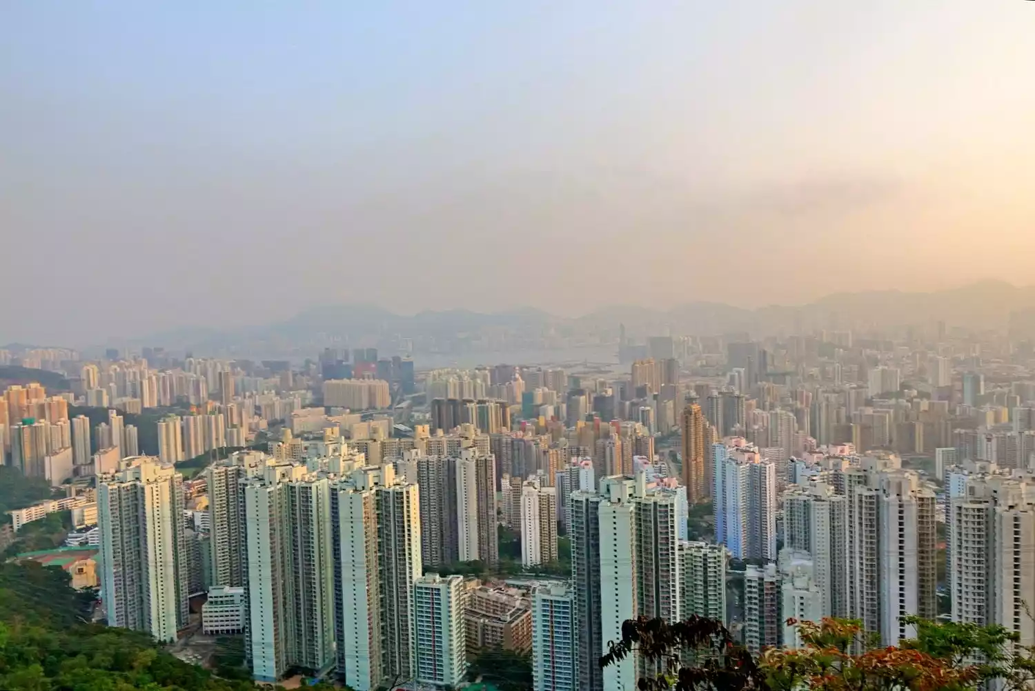
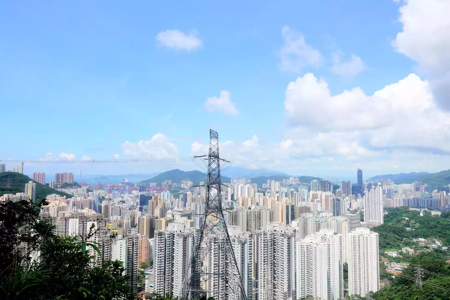
Kowloon Urban Area
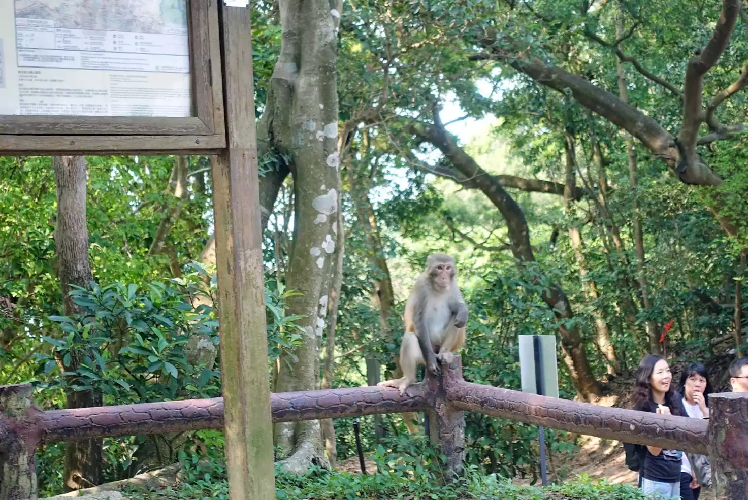
Monkeys at Lion Rock
Descending route:
1. From Fei Ngo Shan Road, you can descend to Ngau Chi Wan or Choi Hung Estate via Tak Shan Road.
2. After arriving at Shatin Pass, you can descend to Tsz Wan Shan on the left or turn right and descend to Pok Hong Estate in Shatin.
3. At the Hong Kong Handover Memorial Pavilion, turn left and descend to Tianma Court.
Sixth stage
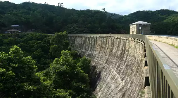
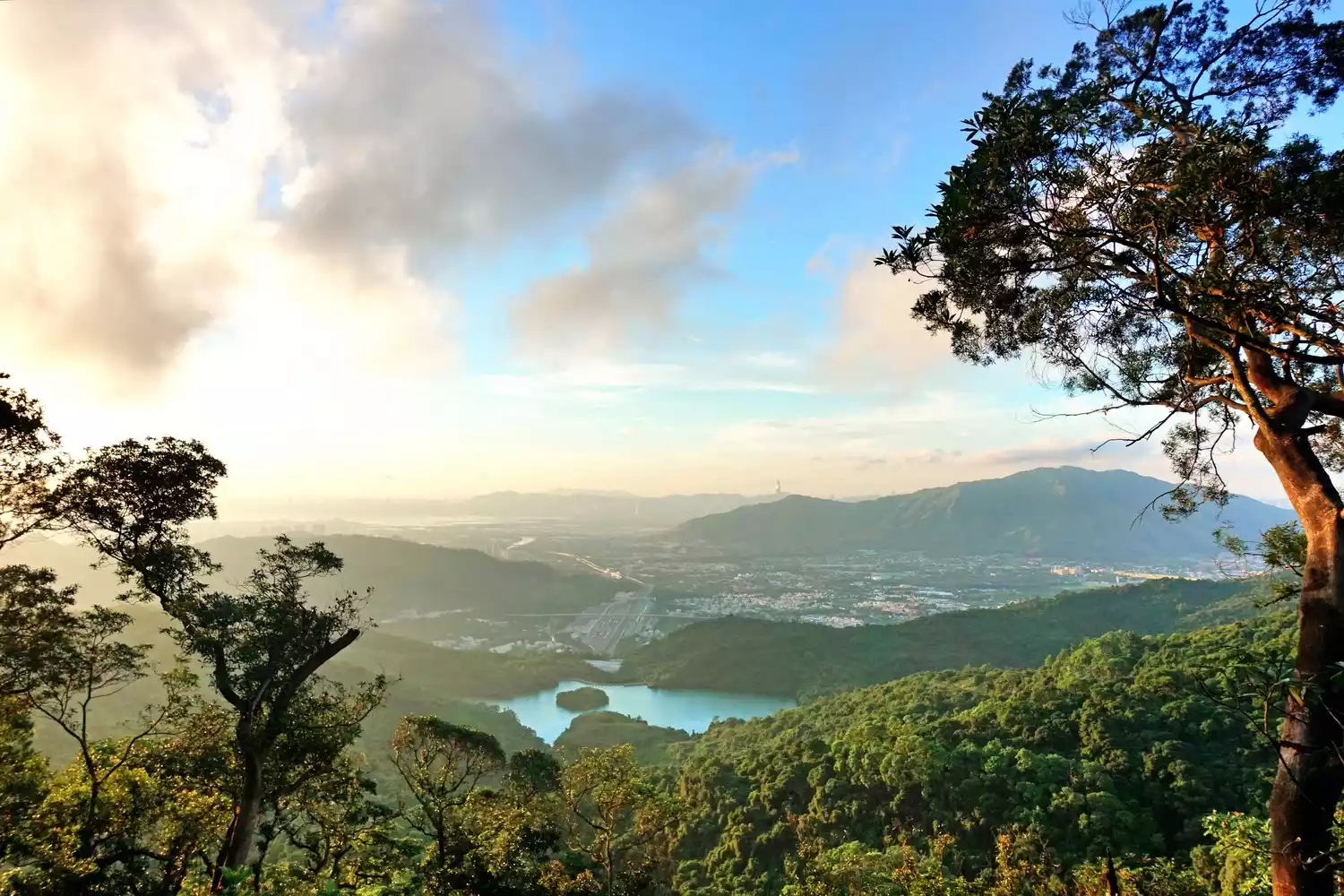
Kowloon Reservoirs
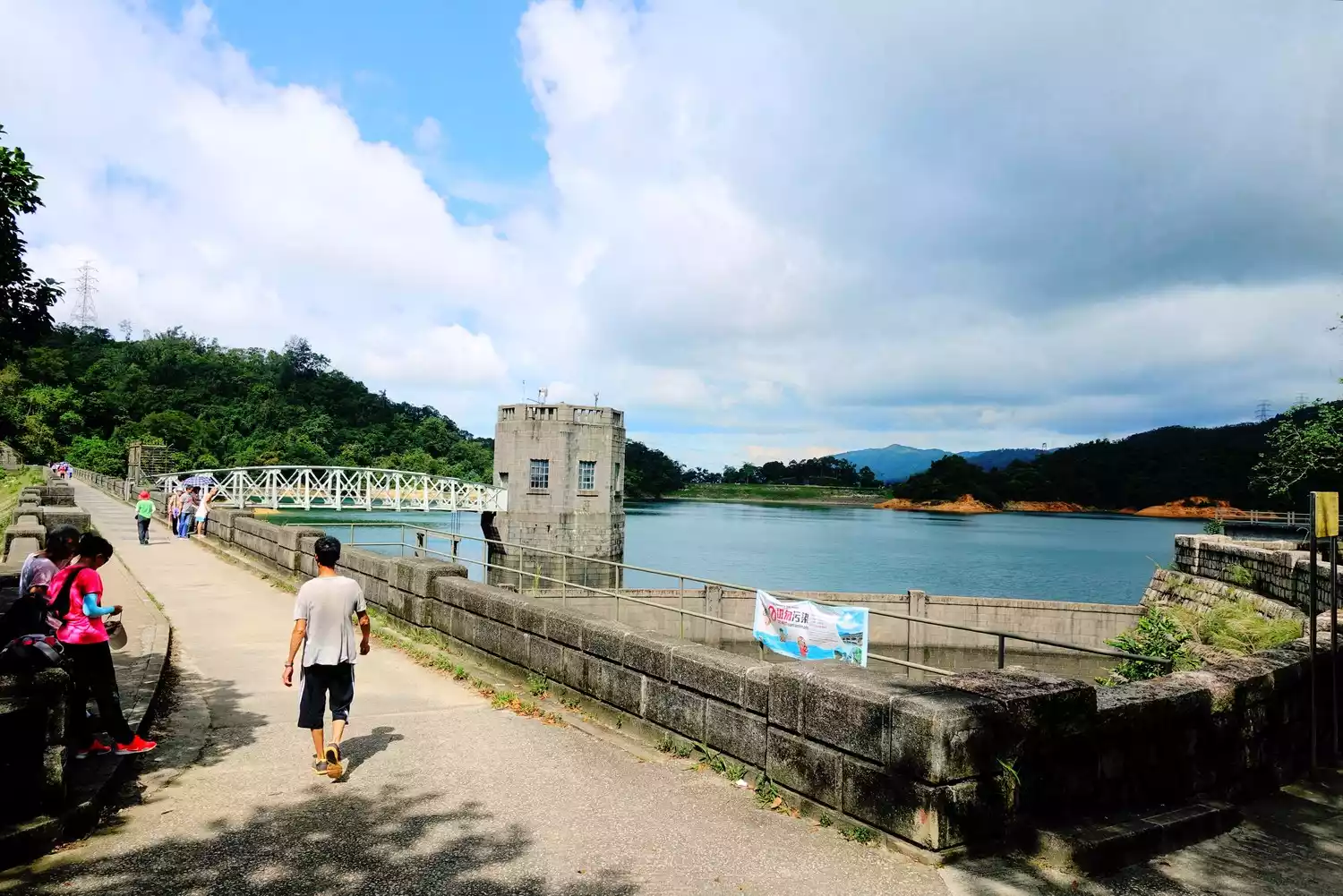 Shing Mun Reservoir
Descending route:
No exit point
Seventh stage
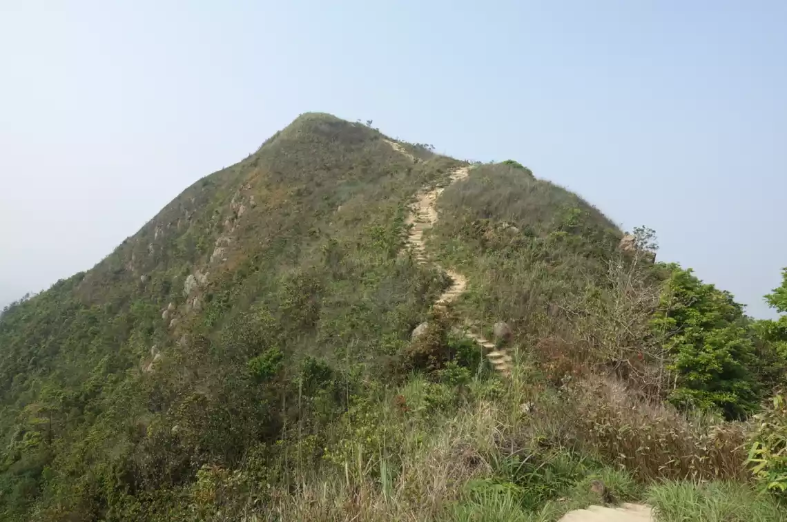
Needle Mountain
Grass Mountain
Descending route:
1. After crossing Needle Hill, follow the signs on the right and walk down Tao Fung Hill to Shatin.
2. After crossing Zhenshan, you can take the lane on the left to Chengmen Reservoir or Qianhuangao respectively.
Eighth stage
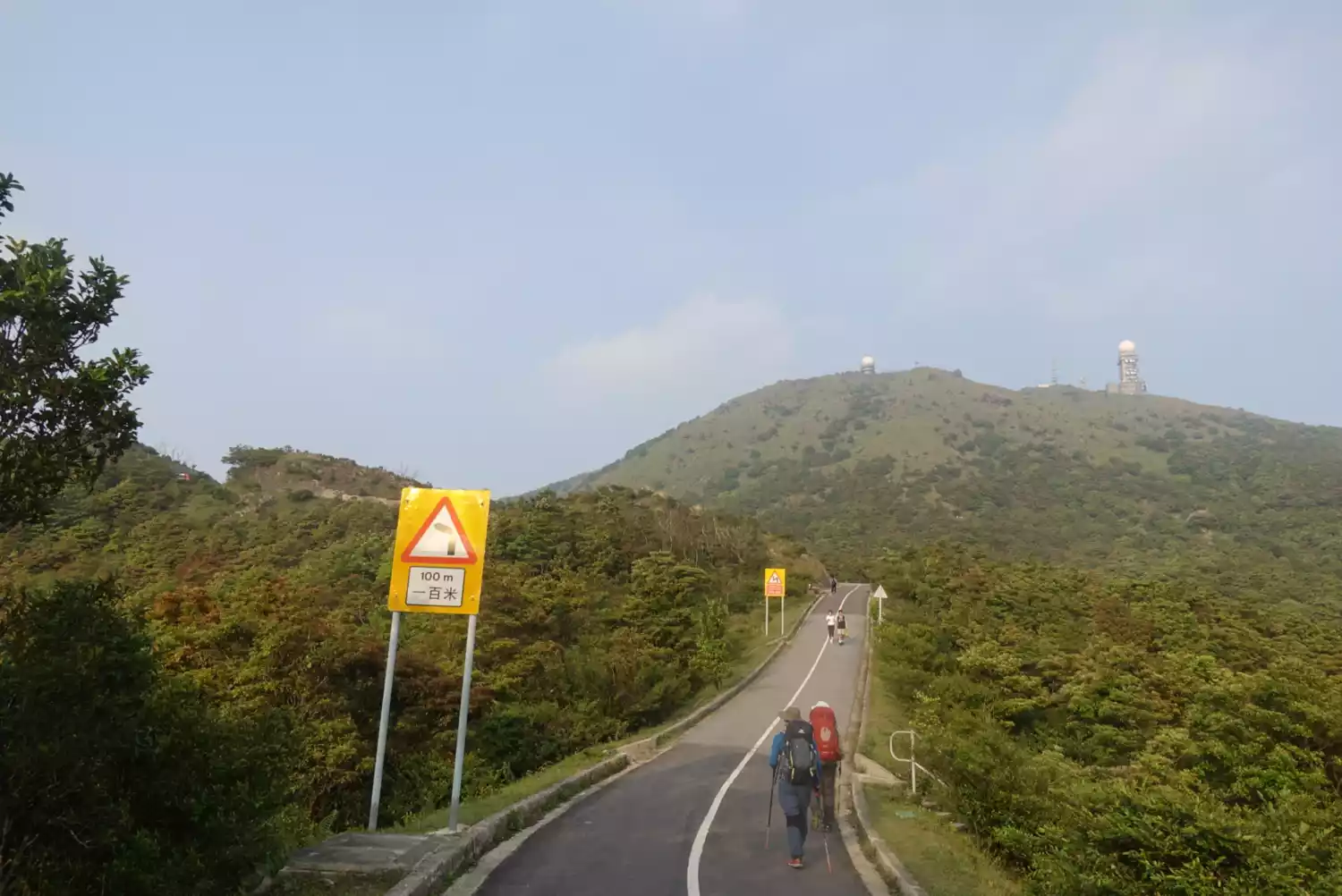
Tai Mo Shan
Descending route:
No exit point
Nine-dan
 Tai Lam Country Park
 Descending route:
From the starting point of Section 9, walk along the forest service road for a short distance, then turn left and walk across Baishi Bridge to Xianxia Cave near Chuanlong.
Tenth stage
 A person who dares to challenge himself~
Descending route:
1. Shortly after passing the entrance of Tianfuzai Camp, you can go down to Shenjing on the left via Qingkuaitang.
2. After distance post M174, turn right and continue along the Yuen Tsuen Ancient Trail, then connect to the Tai Tong Nature Trail and Tai Tong Shan Road to Kiu Hing Road.
3. You can leave Tai Lam Chung Reservoir Dam along So Kwun Wat Village Road and go down to So Kwun Wat Village.
4. There is a branch trail next to the rest area at distance post M192 that leads to Sau Kwun Beach (Gold Coast).
5. From distance column M196, walk down the stairs to Kam Fai Garden in Tuen Mun.
Conclusion
Finally, remember the "LNT" Leave No Trace principle:
1. Plan and prepare in advance;
2. Walk and camp on tolerable surfaces;
3. Dispose of garbage properly;
4. Maintain the natural landscape;
5. Be careful when using fire outdoors;
6. Respect wildlife;
7. Consider other people who engage in outdoor activities;
Beyond that, Leave No Trace has two most important principles: respect and minimal impact on the environment. Practice these principles yourself, starting with yourself and influencing those around you as much as possible. Be a true outdoor enthusiast and stay committed to protecting the environment.
Finally, this is dedicated to the brave warriors who challenge the 100KM Maijing. You are the best, come on!