A guide to driving across the G219 Xinjiang-Tibet Highway: the world's highest highway, more difficult than the Sichuan-Tibet Highway
Preface
For those who like to travel domestically, Xinjiang and Tibet are hurdles that many people cannot avoid!
A 2,140-kilometer highway connecting Tibet and Xinjiang climbs from 1,300 to 6,000 meters in altitude, a drop of nearly 4,700 meters. The 130-kilometer section above 5,000 meters traverses five mountains over 5,000 meters, traverses 16 glacier passes, and crosses 44 glaciers, making it the highest highway in the world.
When all conventional routes to Tibet have been commercialized, only this route still retains its natural silence and grandeur.
This line is known as the world's highest altitude and most difficult road - G219 Xinjiang-Tibet Highway!
Xinjiang-Tibet Highway
Tibetans all say that only those who have bathed in Pangong Lake, urinated on Jieshan Pass, and slept in the Dead Man's Ditch are true warriors.
This is a road that challenges the limits of human beings.
The Xinjiang-Tibet Highway begins at the 0-kilometer marker in Yecheng County, Kashgar Prefecture, Xinjiang, in the north and ends at the 2,140-kilometer marker in Chawu Township, Lhatse County, Shigatse City, Tibet. Crossing the Kunlun and Gangdise Mountains, it descends along the northern foothills of the Himalayas, traversing the vast western wilderness. The route is dominated by vast expanses of Gobi desert and towering, perpetually snow-capped mountains, with no human habitation for hundreds of kilometers.
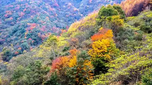
But it is this extremely lonely, desolate and dangerous national highway that has beautiful undeveloped scenery along the way. It is undoubtedly a paradise for photography and adventure enthusiasts.
When you really embark on this journey, you will understand what it means to be unforgettable in a lifetime!
Along the way, you will encounter the Karakoram Mountains with unpredictable weather, cross countless boundary mountains, and the ruins of the once prosperous Guge Kingdom, the sacred mountain Mount Kailash and the holy lake Lake Manasarovar on both sides of the highway.
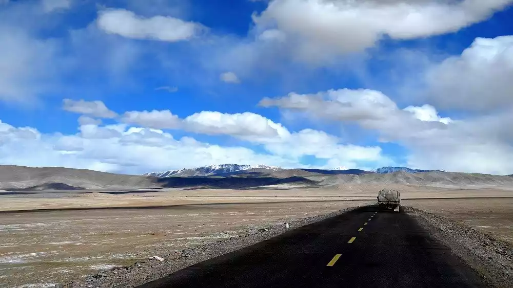
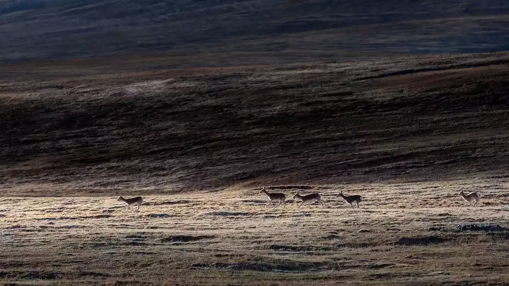
The snow-capped mountains never melt all year round, the desert Gobi stretches for thousands of miles, and herds of wild animals such as Tibetan wild donkeys and gazelles can be seen everywhere.
Xinjiang-Tibet Highway Mileage Table
Yecheng→243KM→Mazar→180KM→Shenchakou→183KM→Tielungtan→98KM→Jieshan Daban→172KM→Dolma→113KM→Rutog→117KM→Gar (Shiquanhe)→300KM→Mentu→222KM→Mayumula→236KM→Zhongba→206KM→Saga→58KM→22nd Road Station→182KM→Angren→53KM→Lhaze→157KM→Shigatse→213KM→Qushui→49KM→Doilungdeqen→11KM→Lhasa
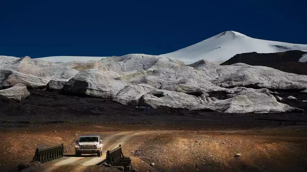
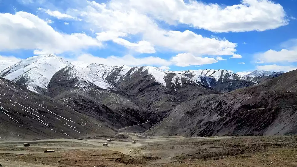
Beautiful scenery along the Xinjiang-Tibet Highway
Starting from 0 to the roof of the world - Yecheng 0 km
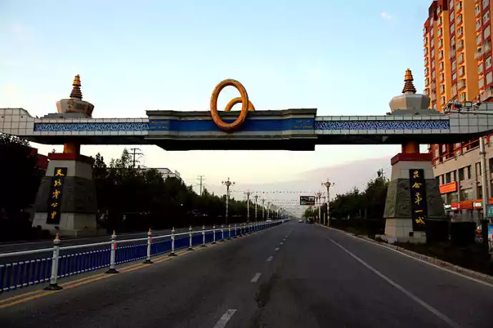
At the zero kilometer mark in Yecheng County, a sculpture stands: "From Here to the Roof of the World." Whether you start from here or return to the Xinjiang-Tibet Highway as your destination, the journey is filled with breathtaking scenery and natural dangers.
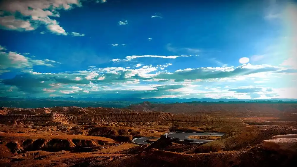
There are no red willows on the Red Willow Beach - Big Red Willow Beach
The 255-kilometer stretch from Dahongliutan to Songxi Township is a no-man's land, lacking military stations or supplies, known as the "death zone." While seemingly deserted, this vast wilderness offers a great opportunity to encounter a variety of wildlife.
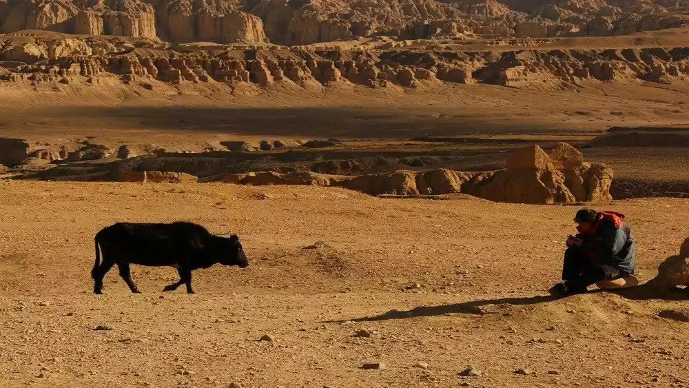
Frightening—Dead Man's Ditch (Quanshui Ditch)
Dead Man's Ditch isn't really a ditch, but rather a basin surrounded by mountains. The natural conditions here are extremely harsh, with oxygen being extremely scarce. The basin and valley topography create a "barrel effect," making air circulation difficult in the ditch.
Although it is a dangerous place on the Xinjiang-Tibet Highway, the scenery of the snow-capped mountains and lakes here is unique and worth appreciating.
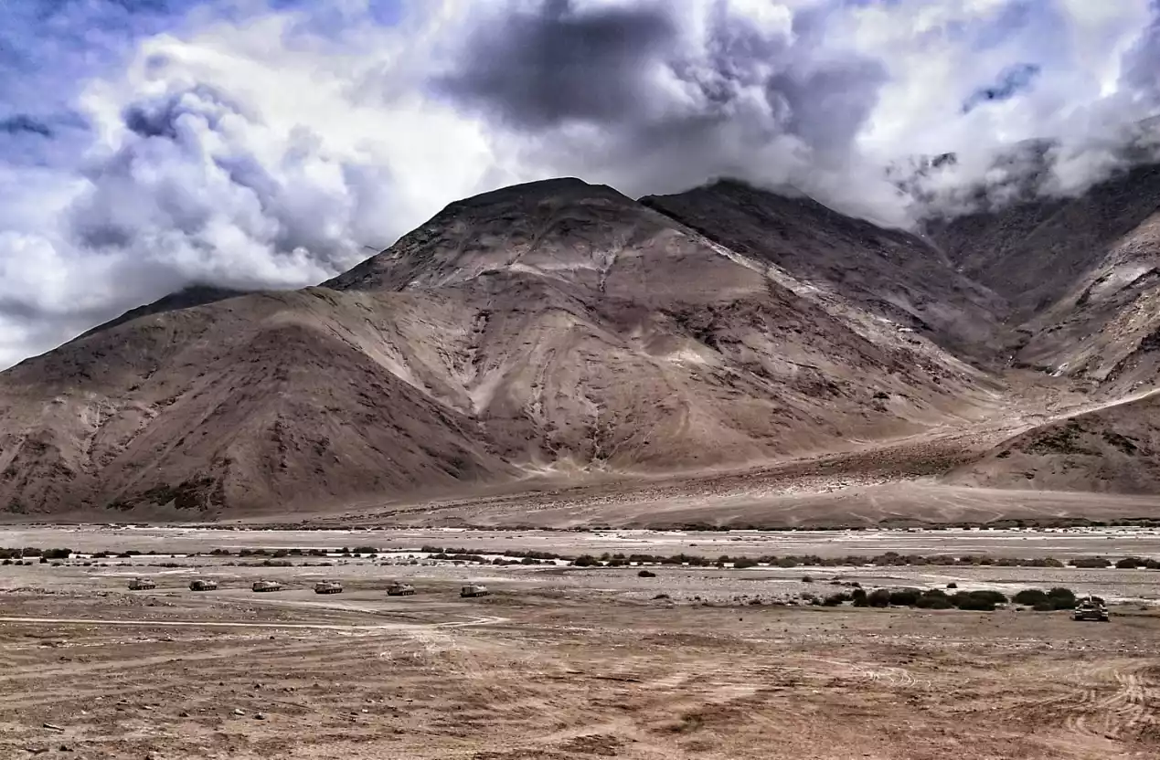
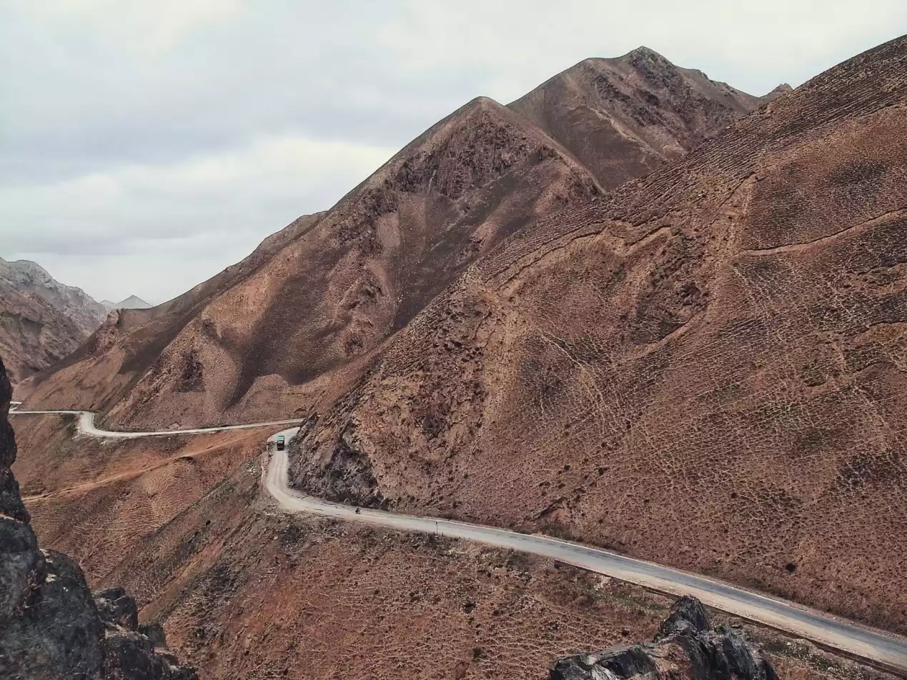
Crossing mountains and ridges to see you - Endless Pass
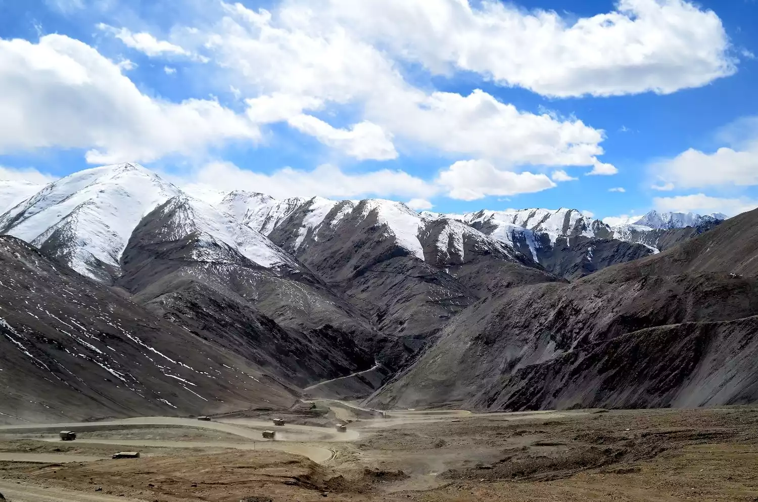
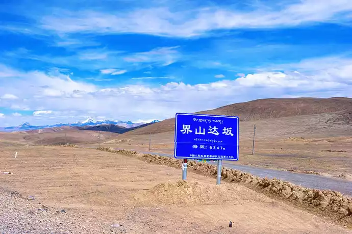
From Kudi Pass, the first snow pass on the Xinjiang-Tibet Highway, to Maza Pass, the longest pass on the Xinjiang-Tibet Highway, to Hongtu Pass, the highest pass at an altitude of 5,380 meters, to Jieshan Pass, the most famous pass on the entire Xinjiang-Tibet Highway, the ups and downs along the way are thrilling and exciting, and you can see the snow-capped mountains that reach into the sky with your own eyes.
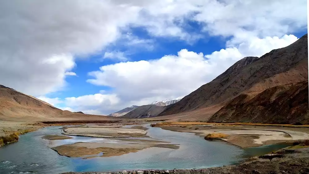
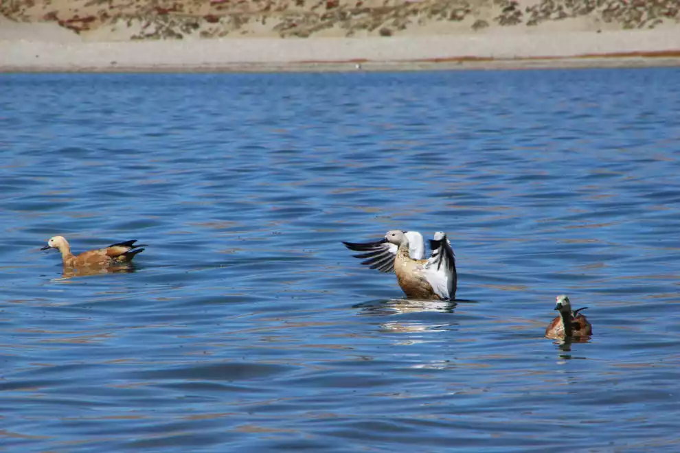
Pangong Tso, a blue gem in the vast wilderness
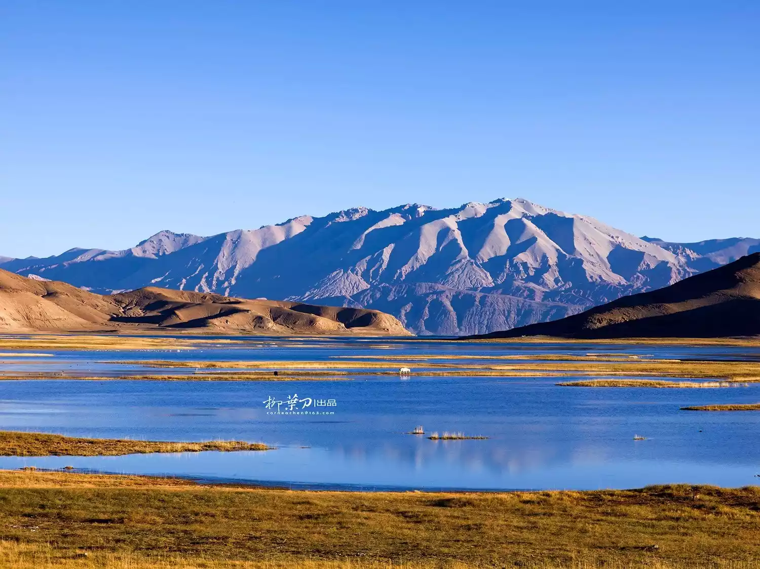
(Image source: The Lancet)
Pangong Lake, known as Como Ngla Hongbo in Tibetan, meaning "long-necked swan," is a lake with a uniquely different salinity between its east and west waters, with the salinity increasing from east to west. The eastern part is freshwater, the central part is brackish, and the western part is saltwater.
There is a bird island in the center of the lake, which is the highest bird island in the world. From May to September every year, flowers bloom all over the lakeside and birds fly over the lake.
Golden waves under the sunset - Zada Earth Forest
The Zada Earth Forest at sunset is the most magnificent sight along the way. Its desolate grandeur is beyond words. Anyone who has seen it will want to pull you in, point around and say, "Look for yourself! Then tell me about it."
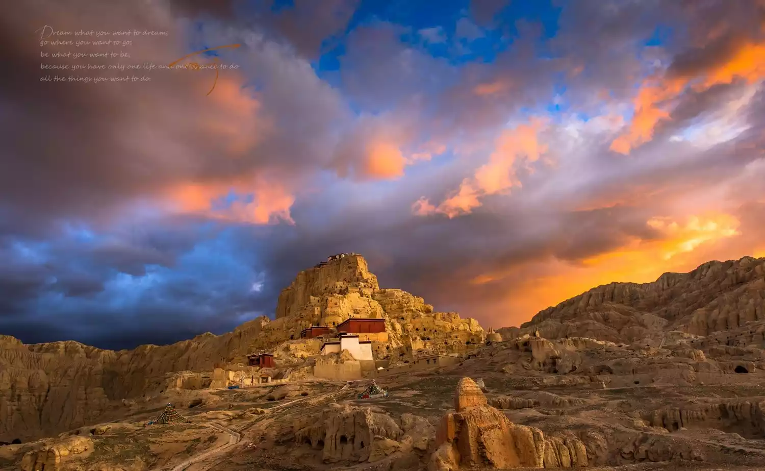
After the prosperity faded, only desolation remained: the ruins of the Guge Dynasty
The Guge Kingdom was called "the country closest to the sky" by later generations. In the 9th century, it was a highland kingdom that stood tall among its peers, but now its grandeur has turned into piles of high hills and thick earth.
Passing by the ruins of the Guge Dynasty and admiring the magnificent sunrise and sunset, your heart will be moved.
Holy Lake, King of Mountains - Mount Kailash, Lake Manasarovar
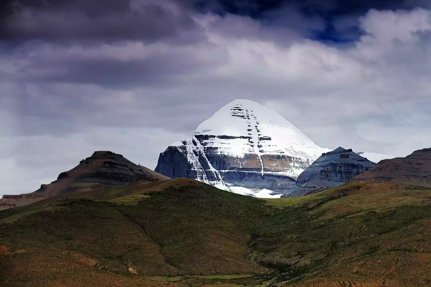
Since ancient times, Buddhist believers have regarded Mount Kailash as the holy land "the center of the world". The top of Mount Kailash is covered with snow all year round, and it shines with a strange and eye-catching light under the sunlight.
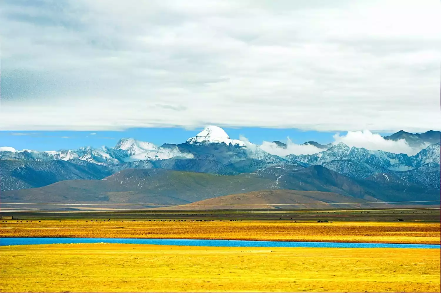
Lake Manasarovar is the most sacred lake in Tibet. To the south of Lake Manasarovar, Mount Namuani and Mount Kailash complement each other in the distance and are the brightest lights in the hearts of all pilgrims.
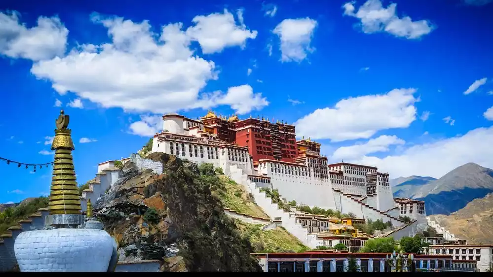
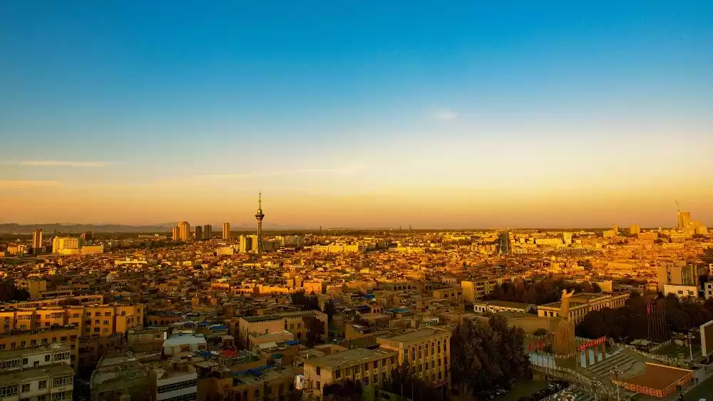
The end of Tibet and the starting point of pilgrimage - Lhasa
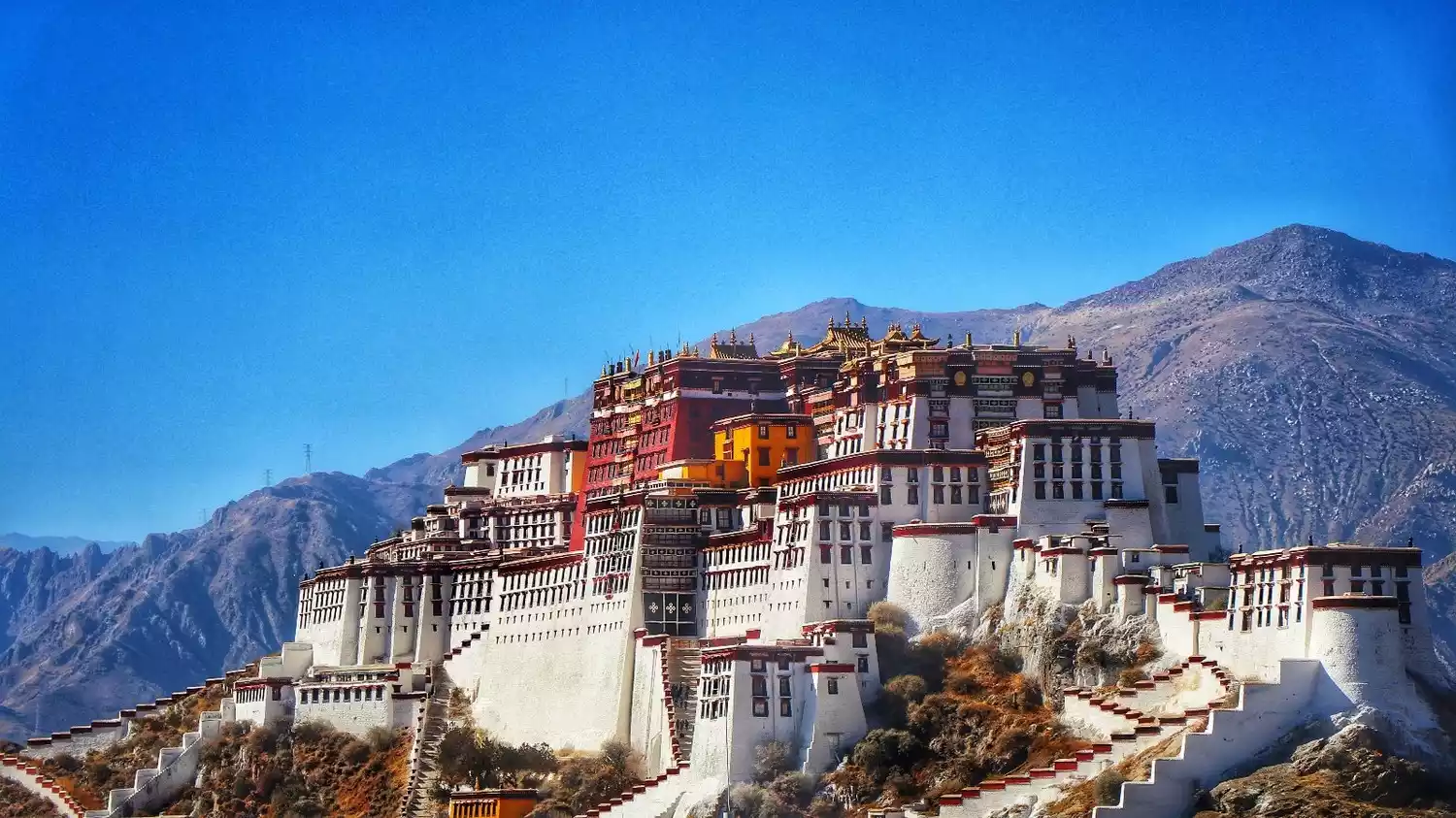
The majestic Potala Palace, the bustling Barkhor Ancient City, the sacred and holy Jokhang Temple... This pearl standing on the snowy plateau has a history of more than 1,400 years. Lhasa is not only the cradle of Tibetan culture, but also contains countless histories and legends.
Precautions
Equipment
Important documents: border pass, bank card (there are many postal withdrawal points along the way), ID card and other commonly used important documents.
Important medicines: anti-altitude sickness drugs (Gaoyuan'an, Dinocon Capsules, Rhodiola rosea, Gaoyuan'an), antidiarrheal drugs (Xie Liting, Baoji Pills), cold medicines (Contac, Ganmaoling, Gankang), trauma medicines, anti-inflammatory drugs (amoxicola), antipyretics (acetaminophen), etc.
Daily necessities: toiletries (toothpaste, face towel, toothbrush); some daily change of clothes. The temperature is low in some places on the Xinjiang-Tibet Highway, so it is recommended to bring thick woolen clothes; it is recommended to prepare some food. The mountains are high and the waters are long, and the food on some sections is relatively simple. It is recommended to bring some high-energy food and some vitamin tablets in case of emergency on the road.
Border Pass
According to the "Border Pass Management Measures" of the People's Republic of China, Ali, Shigatse, and Shannan areas in Tibet; Kashgar, Aksu, Ili, Tacheng, Altay, Hami areas, Changji Hui Autonomous Prefecture, Kizilsu Kirgiz Autonomous Prefecture, and Bortala Mongol Autonomous Prefecture in Xinjiang must apply for a "Border Pass", which is valid for up to 3 months.
Road conditions
Compared with the Sichuan-Tibet Highway, the Xinjiang-Tibet Highway is more difficult. It passes through the Kunlun Mountains, Karakoram Mountains, Gangdise Mountains, and the Himalayas, crosses 16 glaciers, and crosses 44 glaciers. Most of the areas along the line are "no man's land" with an average altitude of more than 4,500 meters. It is the highest, most dangerous, worst road condition and worst environment plateau highway in the world.
During August and September, please note that the road conditions in Lazi County are poor; the Kunlun Mountains where Mazada Pass is located are prone to snowfall, and there will be thin ice on the road at night, so those who are traveling by car should try to drive there during the day.
Conclusion

This year, China-TravelNote launched the Lhasa-Yecheng route, which goes back along the Xinjiang-Tibet Highway!
Travel back from Lhasa, putting the beautiful scenery in front. Now that you have adapted to the plateau environment in Tibet, walking along the Xinjiang-Tibet Highway will alleviate a lot of plateau discomfort.
Come and take a trip that you must take in your lifetime and experience the charm of the last pure land on the top of the world!