Take stock of the lesser-known snow-capped mountains in western China, each one is stunning and offers pure beauty
Preface
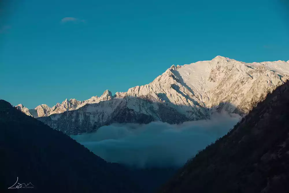
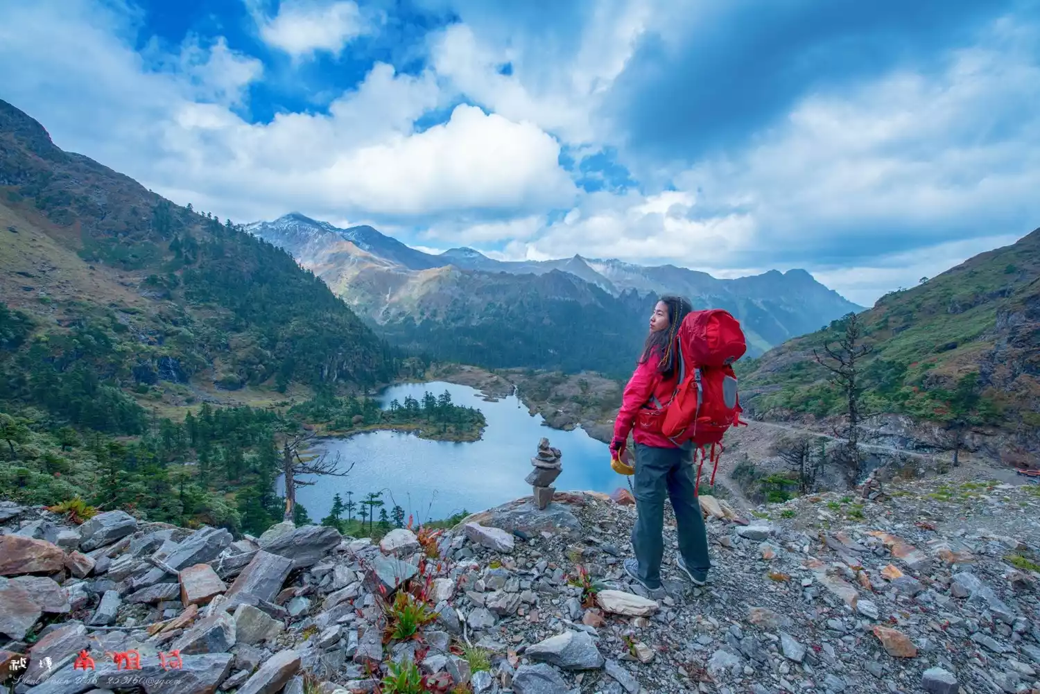
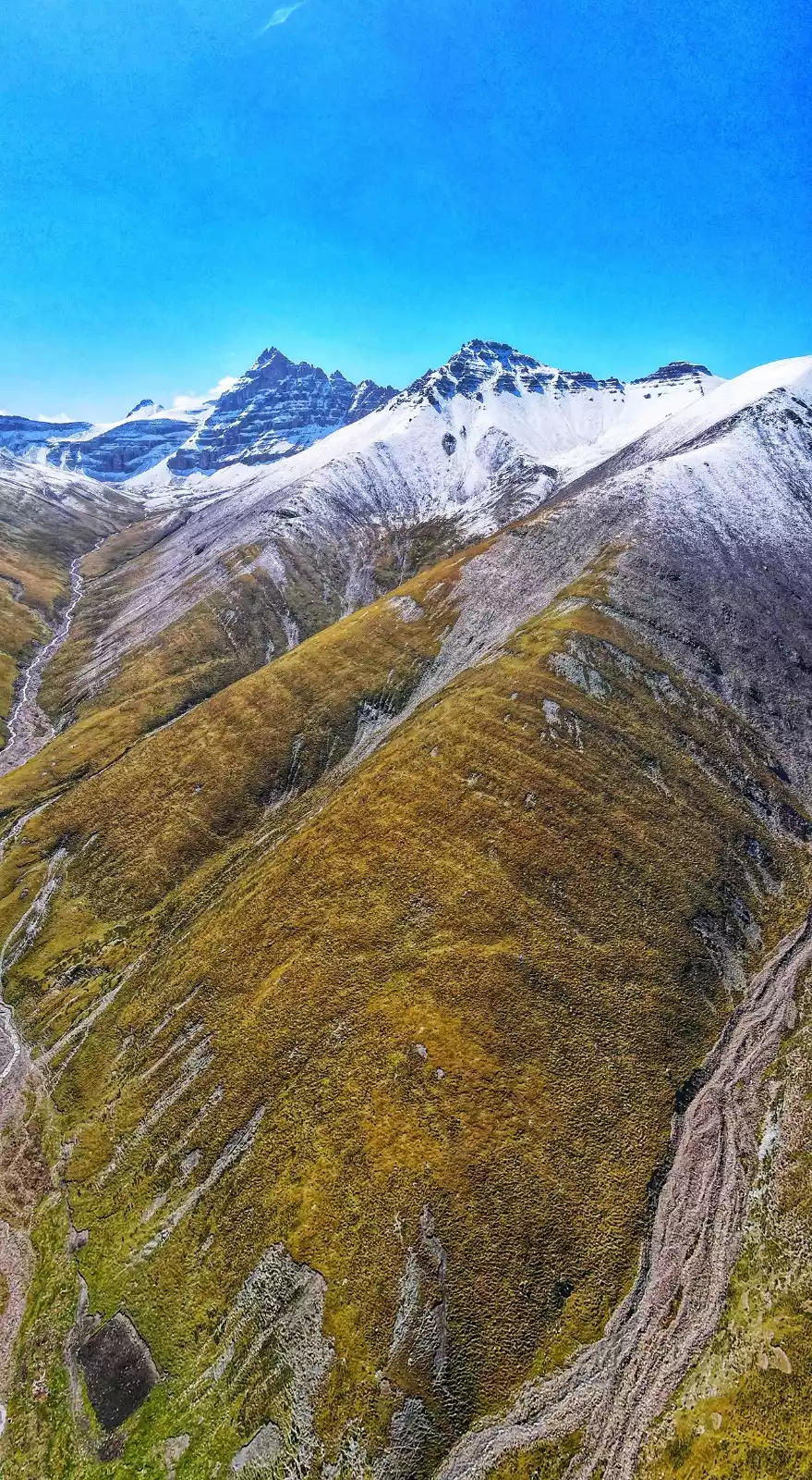
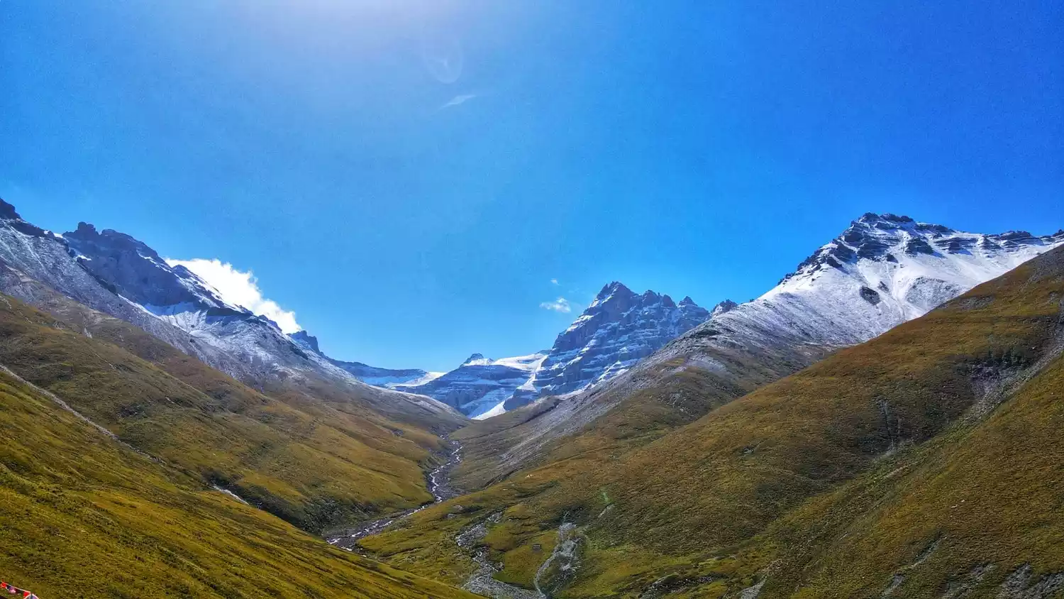
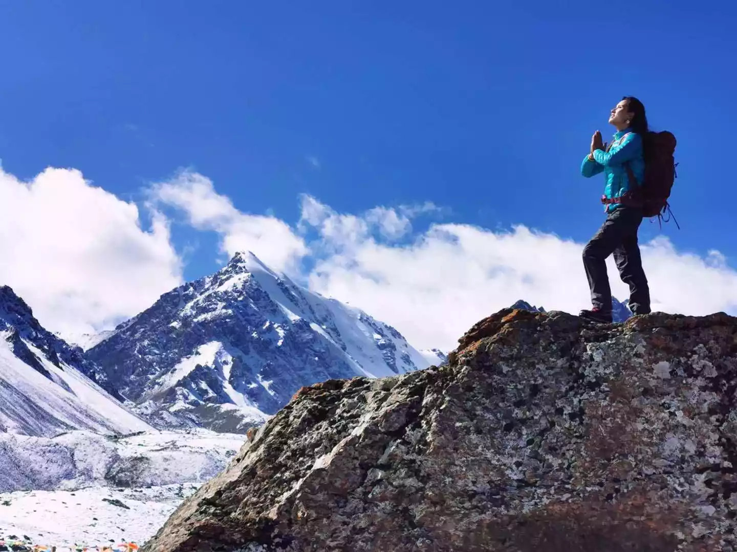
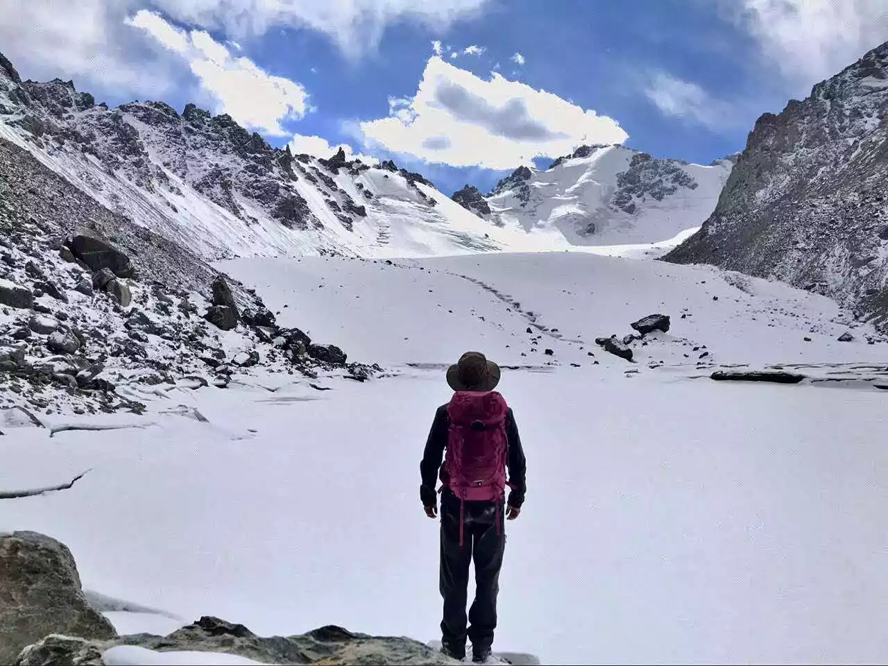
The most secret place in the west is not only the long green mountains or the mountain streams in the vast forest, but also the mysterious snow-capped mountains covered with ice and snow for thousands of years when the clouds disperse. Due to the high, complex and changeable terrain, the mountains are covered with continuous ice and snow. A series of peaks in various shapes have created a magnificent scenery combining snow-capped mountains, lakes and glaciers, which appears primitive and pure.

During the journey of exploring these sacred mountains, we passed by various natural scenery along the way, just to record the awe-inspiring beauty deep in the Western world.
Tibet
Sap Snow Mountain
📍Yangxiu Township in the eastern part of Nagqu Prefecture, Tibet Autonomous Region
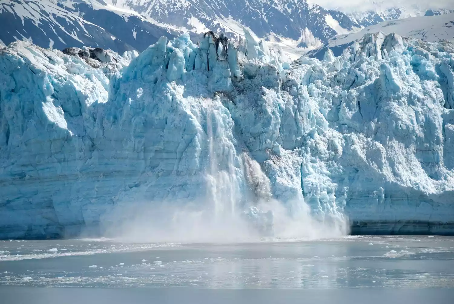
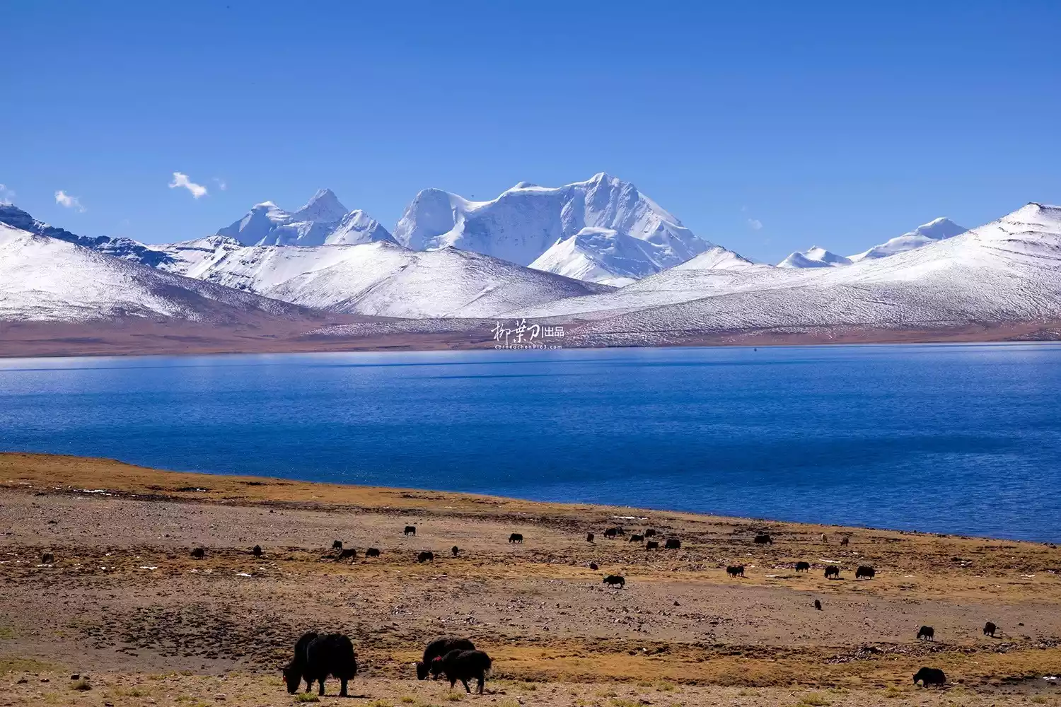
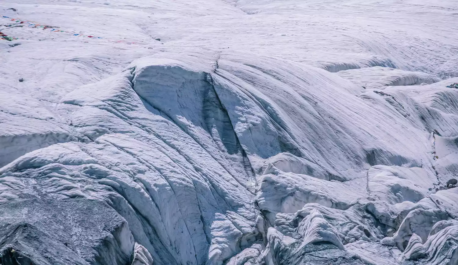
Sap Snow Mountain, formerly known as Sepugangri Snow Mountain, belongs to the eastern section of the Nyainqentanglha Mountains. It is composed of the Sap Peaks, and the main peak is revered as the king of the local sacred mountains.
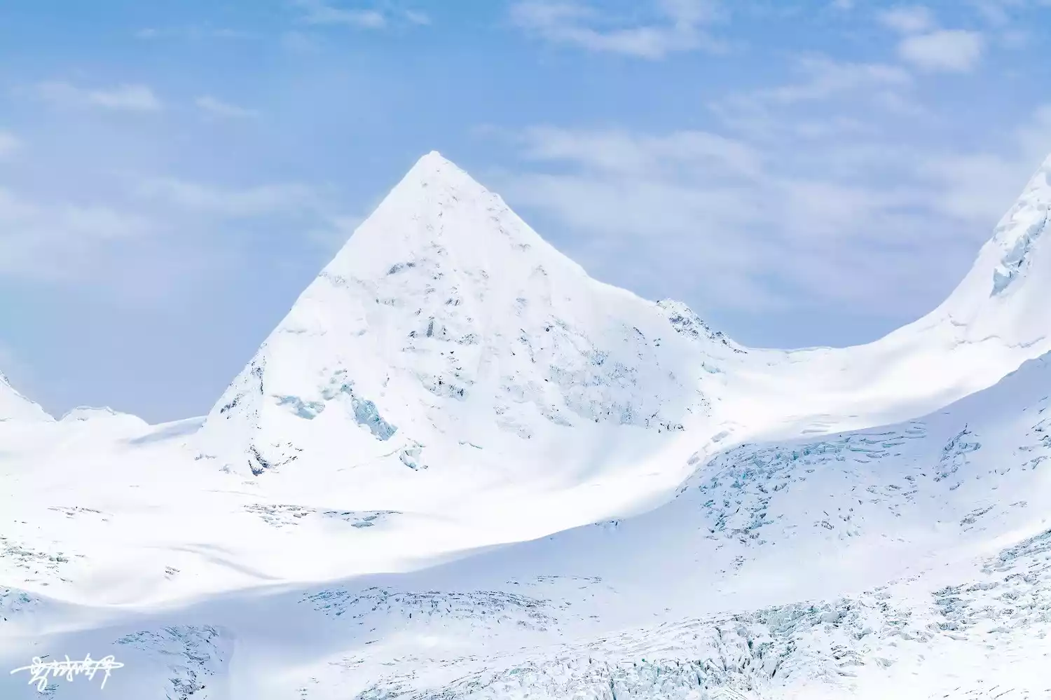
Stretching outward from the foot of the mountain, the sacred lake Samtso at its base is split in two. The lake near the mountain becomes a glacial lake that never melts year-round. The combination of snow-capped mountains, lakes, and glaciers creates a pristine, graceful, and pure scene. In the sunlight, the massive glacier towers like a towering wall, and when the wind blows, a sound like wind chimes can be heard, the sound of the thousand-year-old glacier melting.
If all travelers agree with the term "secret Tibet", then Sap must be the secret place among secret places.
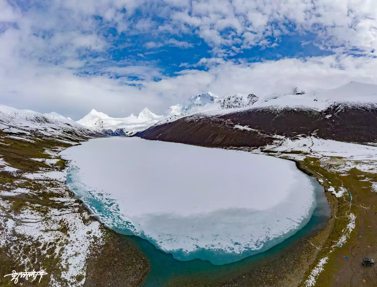
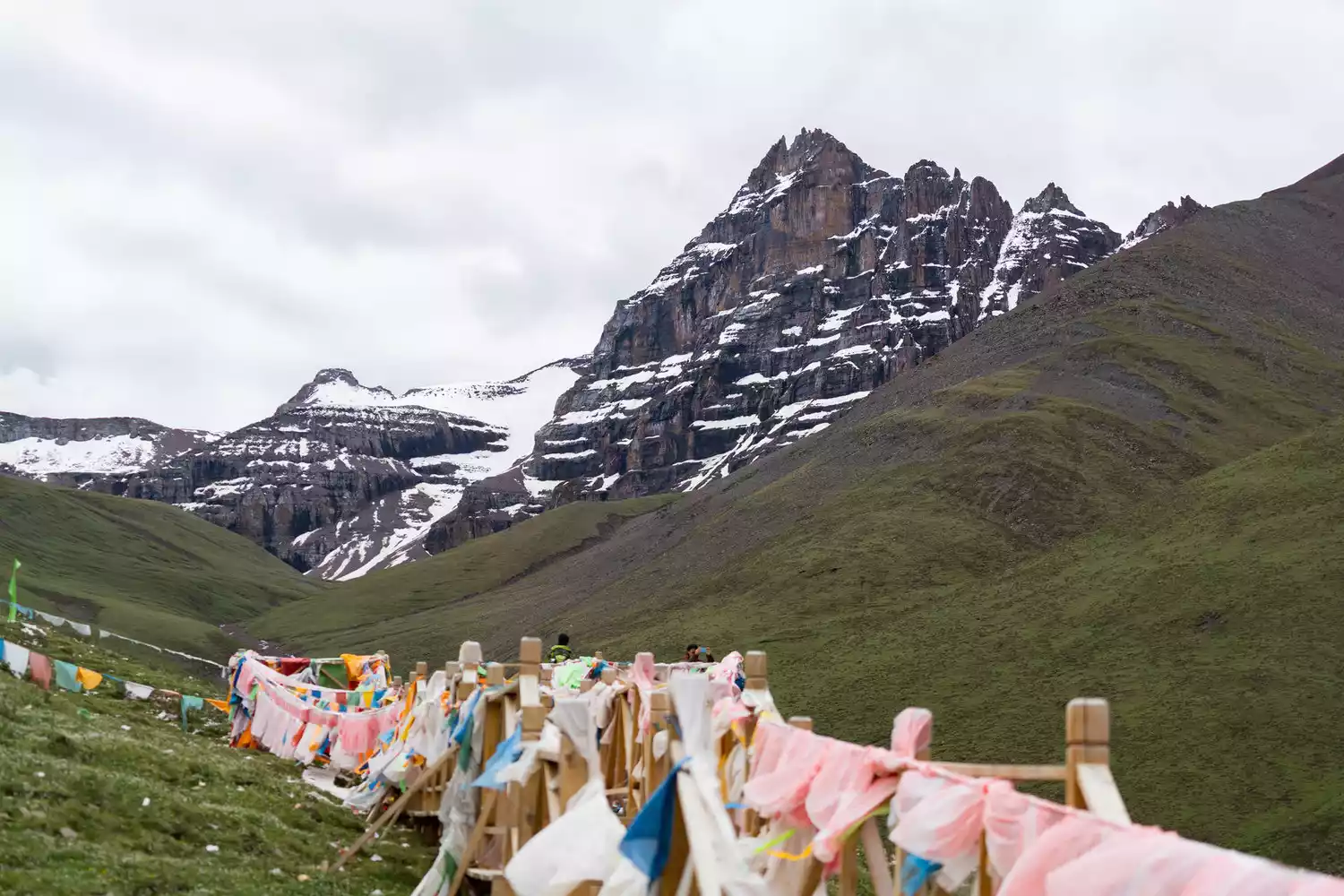
Buga Snow Mountain
📍The junction of Dingqing County, Baqing County and Suo County in Qamdo, Tibet Autonomous Region
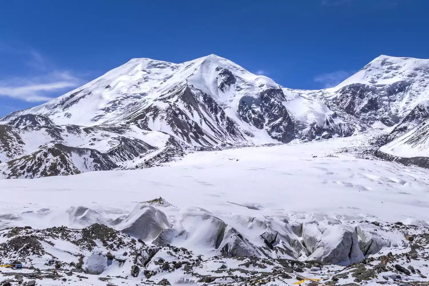
In the vast eastern Tibet, the Buga Snow Mountain, with an altitude of 7,328 meters, is one of the "Seven Sacred Mountains" of Tibet. It also has the Rongrong Glacier with a drop of nearly 2,000 meters, which is the largest hanging glacier known in the world.
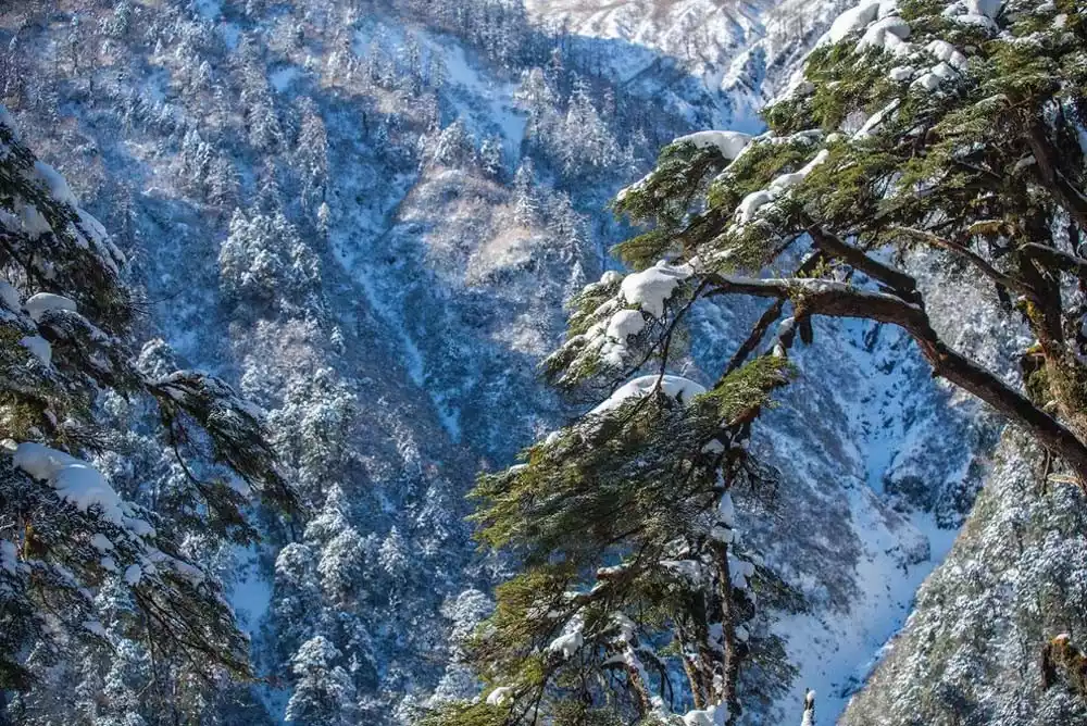
As you approach the glacier, you will find lush vegetation all around and various wild flowers blooming at the foot of the mountain. The snow-capped mountains and glaciers appear in different shapes when viewed from different directions, giving the impression of "looking from the side you see a mountain, looking from the front you see a peak, and looking from different distances and heights."
The moment you reach the secret realm, you will be surprised to realize that this is where your heart desires.
Depart from Lhasa | 11 days and 10 nights
Extreme Scenery: Eastern Tibet Autumn Photography on the 11th
¥14800 from 51 people have registered Register nowAma Naomi
📍Western Dingjie County, Shigatse City, Tibet Autonomous Region
The Himalayas, which are close to the China-Nepal border, have more than 20 majestic peaks, and Amazhimi Snow Mountain is one of the most prominent peaks.
Amajimi Snow Mountain is located in the southwest of Sar Township and is under the jurisdiction of Riwu Town. It is a rare north-south mountain range in the Himalayas. There are a total of 5 snow-capped mountains over 6,000 meters in the entire Amajimi Mountains.
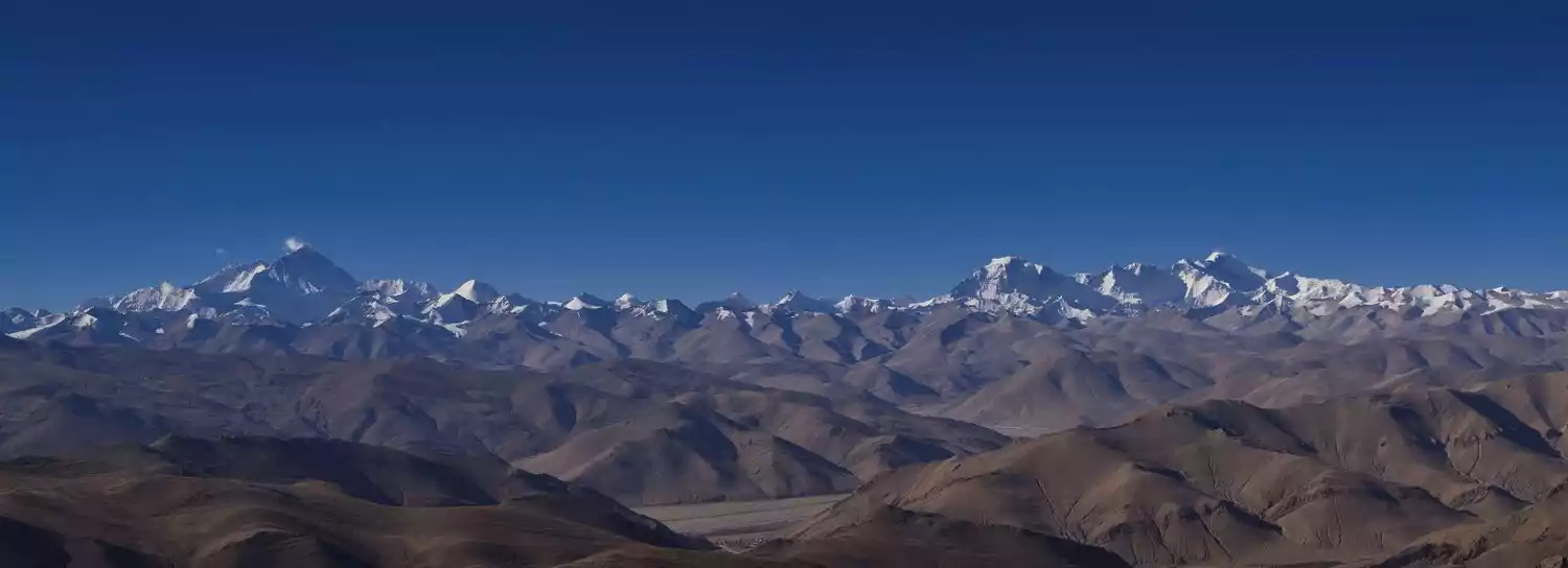
A writer once described Amazhimi in his book: The peak of Amazhimi Snow Mountain stands out among the peaks of the Himalayas. People walking in this area will not lose their way as long as they see this peak.
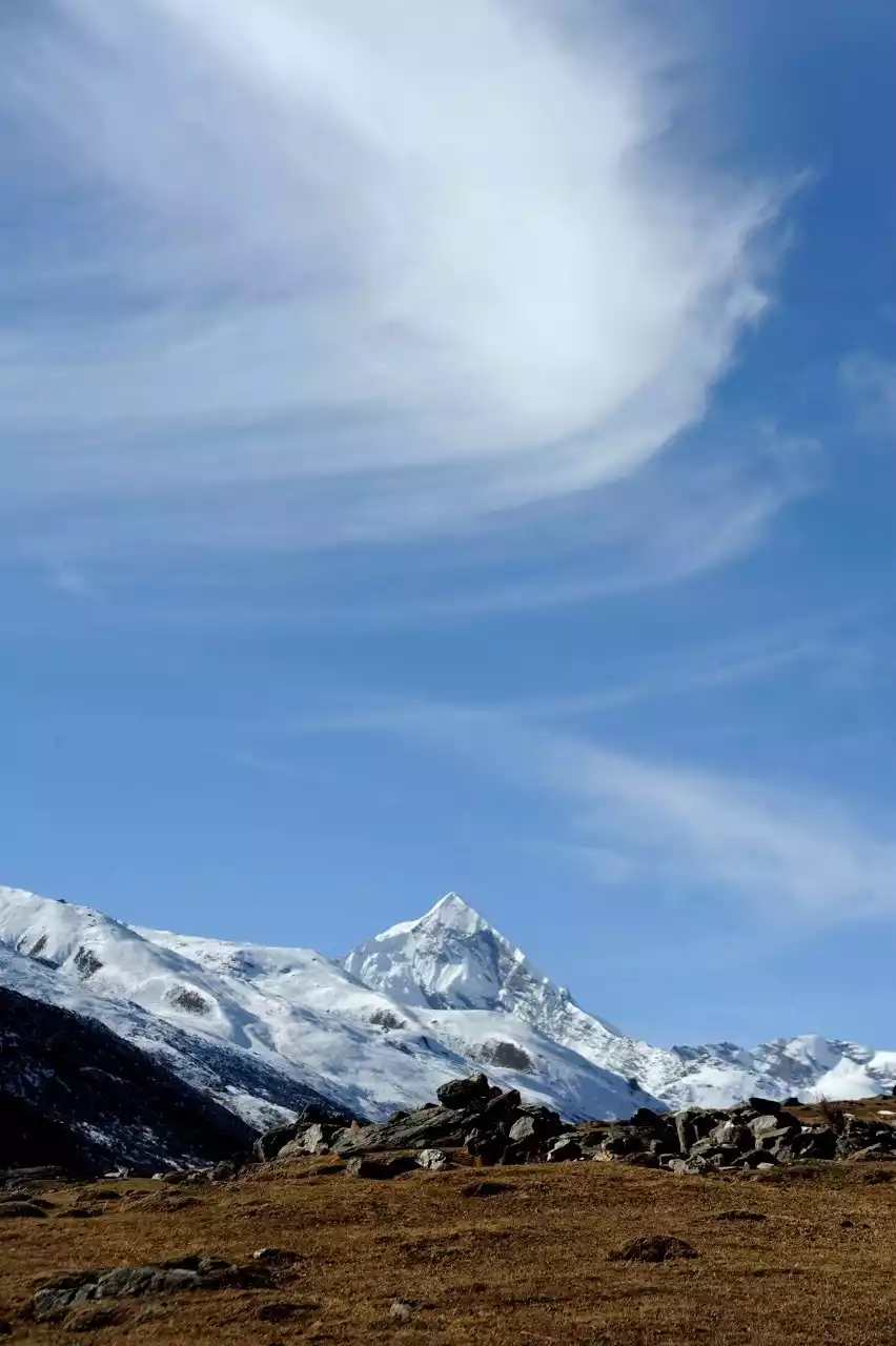
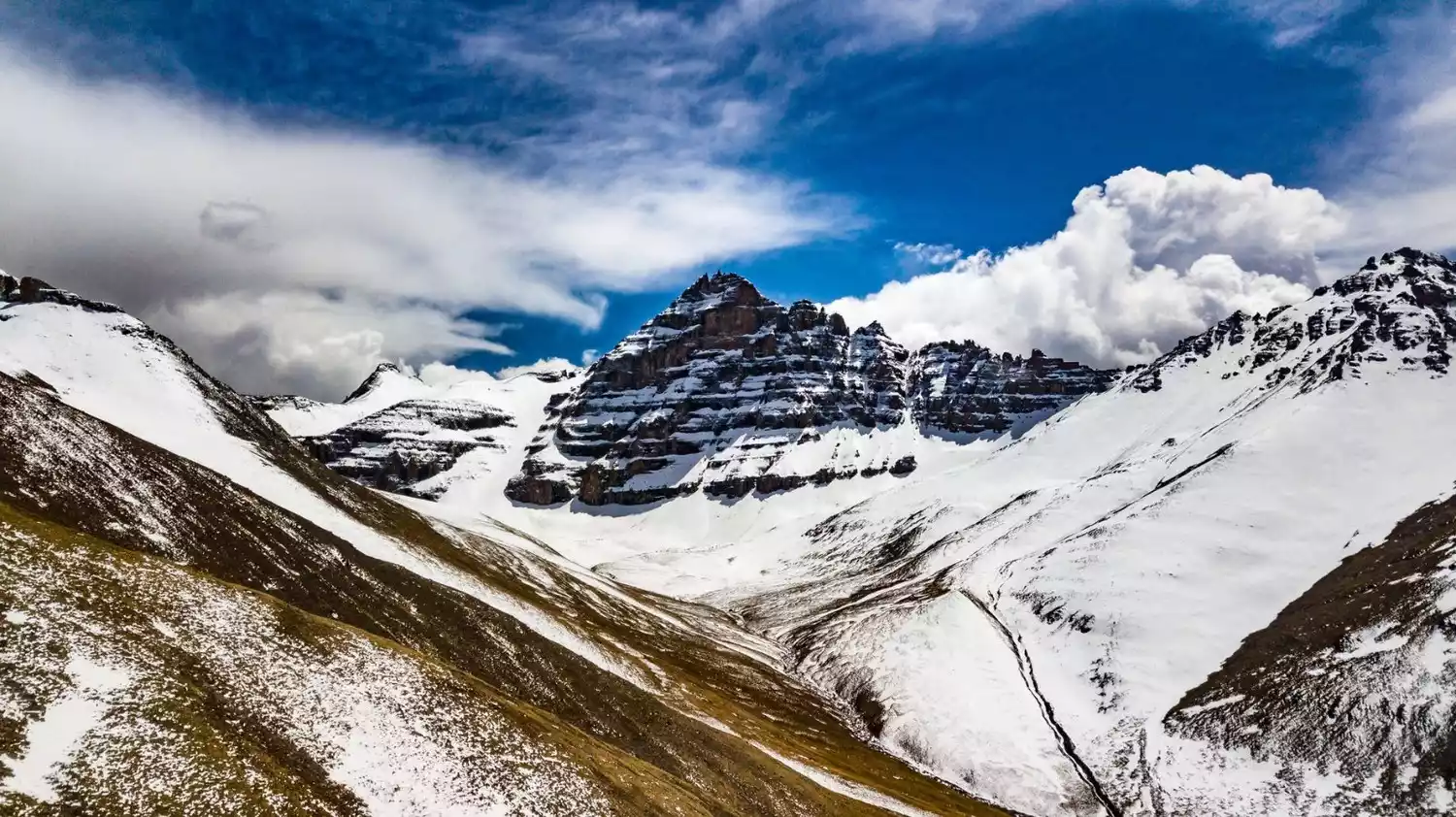
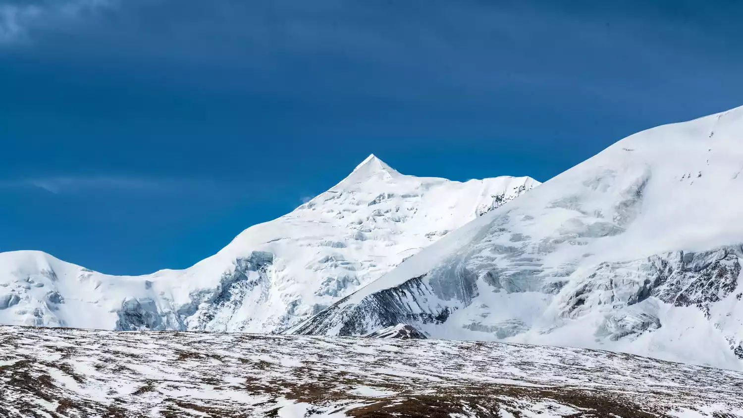
Kulagangri
📍Zhari Township, Lhoza County, Shannan City, Tibet Autonomous Region
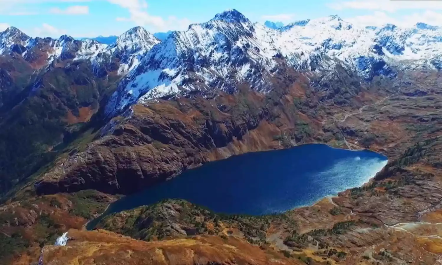
Kulagangri stands north of the main ridge line of the middle Himalayas. It consists of three peaks with an altitude of more than 7,000 meters, of which the main peak is 7,538 meters above sea level.
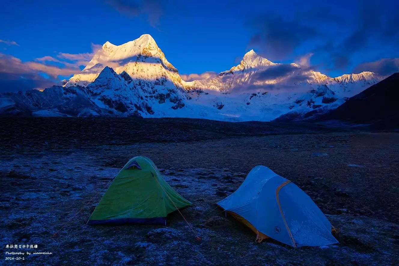
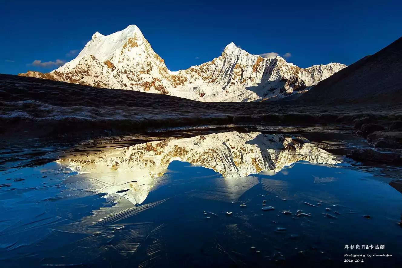
The Kulagangri hike can be listed as one of the top outdoor hiking routes. The north and south sides of the mountain are both steep cliffs thousands of feet high. Due to the huge east-west mountain, the advance of warm air currents is blocked, resulting in the natural landscape on the north and south sides of the mountain being very different: the south side is warm and rainy, and you can see magnificent plateau lakes such as Zhegong Co, Baimalin Co, and Jiejiu Co. The north side is dry, forming magnificent mountain glaciers and growing magnificent seracs.
While hiking, you will often encounter various rocky slopes and cliffs, with peaks standing side by side. The occasional glimpse of the scenery is enough to make those who have traveled through mountains and rivers have no regrets and experience the initial throbbing of man and nature.
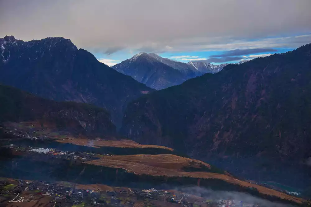
Yunnan
Gawa Gap
📍Western Bingzhongluo Township, Gongshan Dulong and Nu Autonomous County, Nujiang Lisu Autonomous Prefecture, Yunnan Province
Gawa Gap is the main peak of Gaoligong Mountain, a mountain range that divides the China-Myanmar border. It is the first of the ten sacred mountains in Bingzhongluo and the watershed between Bingzhongluo and Dulong River.
From Puhua Temple in Bingzhongluo, you can see this peak from afar. At 5,128 meters above sea level, Gawa Gap is perpetually covered in snow, shrouded in mist and clouds, a scene filled with mystery and the unknown. The Dulong, Nu, Lisu, and Tibetan ethnic groups live at the foot of the mountain.
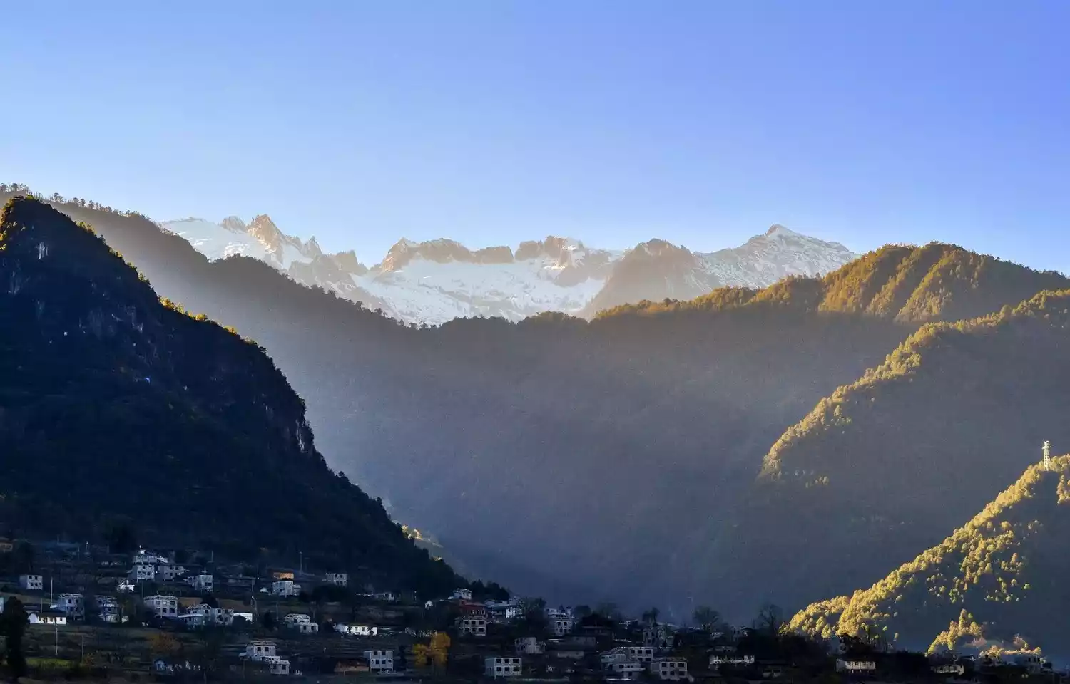
Since ancient times, this place has been sparsely populated and transportation has been inconvenient, so the local scenery has hardly been damaged and maintains its original ecological flavor. Only a small number of intensive tourists occasionally visit.
Biluo Snow Mountain
📍Lanping Bai and Pumi Autonomous County, Nujiang Lisu Autonomous Prefecture, Yunnan Province
Biluo Snow Mountain, also known as Nu Mountain, may be a unfamiliar name that you have never heard of, but if we talk about the well-known Meili Snow Mountain, you must know something about it.
In fact, they are the same mountain range, with different names for different sections: the section to the south around 27° north latitude is called Biluo Snow Mountain, the section to Baoshan City is called Nu Mountain, the section near Tibet is called Meili Snow Mountain, and the highest section at the junction of Yunnan and Tibet is called Taizi Snow Mountain.
It is already late autumn in the local area in mid-to-late October. Starting from Lijiang, passing through colorful forests along the way, the first stop is to explore the hinterland of the Three Parallel Rivers - Nanjie Luo (transliteration of Lisu language, also known as "Nanji Luo"), which is located in the heart of the canyon. Slowly enter along a winding path in the canyon, spiraling up to an altitude of 4,000 meters. The Bingchacha line-stepping group will slowly reveal the mystery of this place for you.
northwest
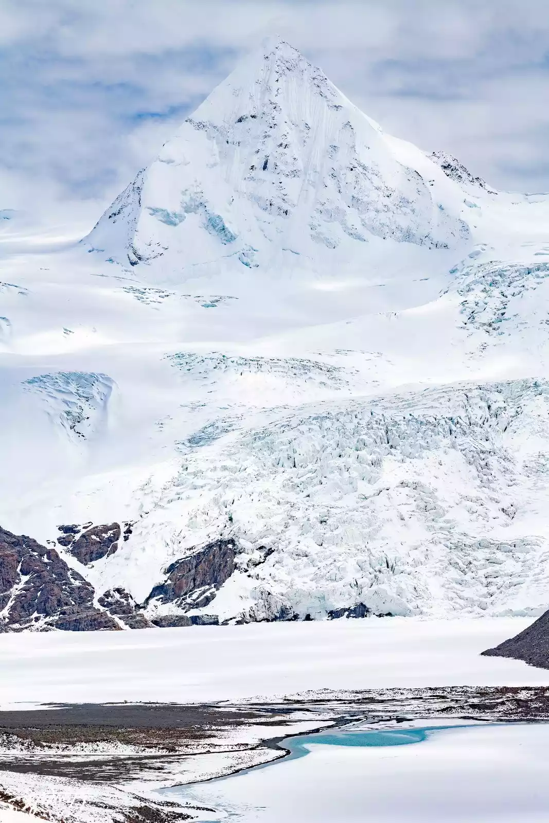
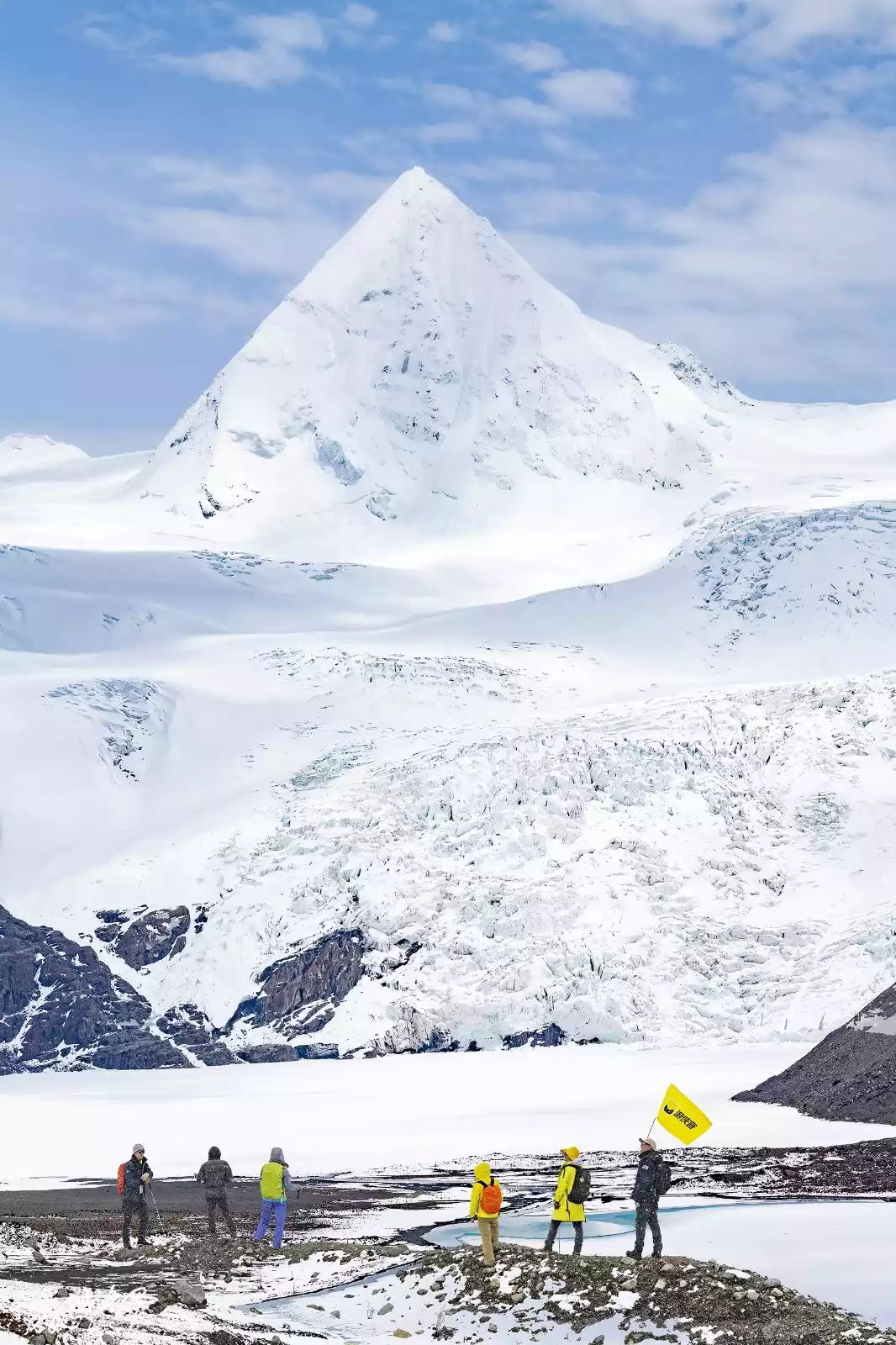
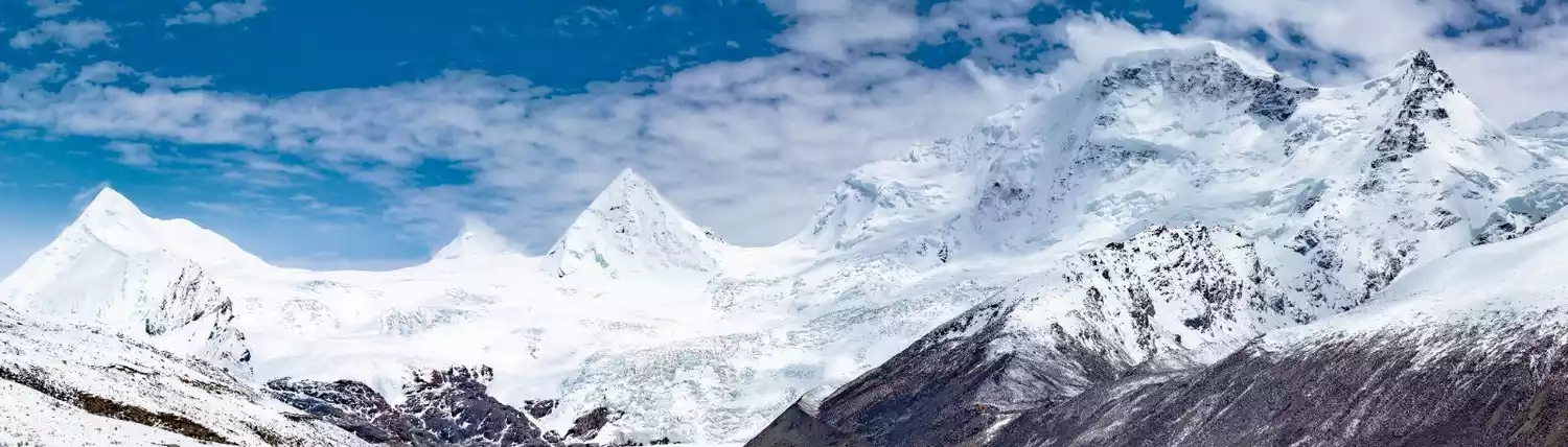
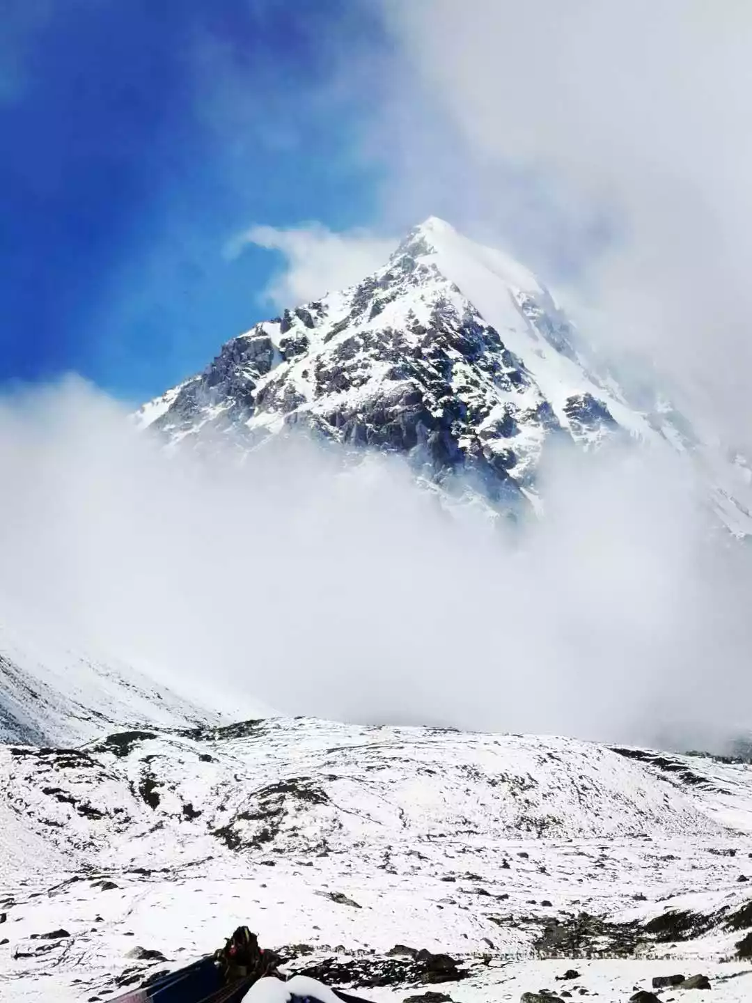
Gaduo Juewo
📍Gaduo Township, Chengduo County, Yushu Prefecture, Qinghai Province
Gaduo Juewo, known as one of the four sacred mountains in Tibet along with Mount Kailash, Mount Meili, and Mount Amnye Machen, is the king of sacred mountains in the Yushu Tibetan area of Qinghai Province. It is also the least popular of the four sacred mountains.
The entire Gaduojuewo is a mountain group composed of a series of peaks with various shapes. The steep rock peaks are densely arranged, and the peculiar shapes can be called the work of nature. The main peak, like a pyramid, is clearly layered under the accumulation of snow, which is spectacular.
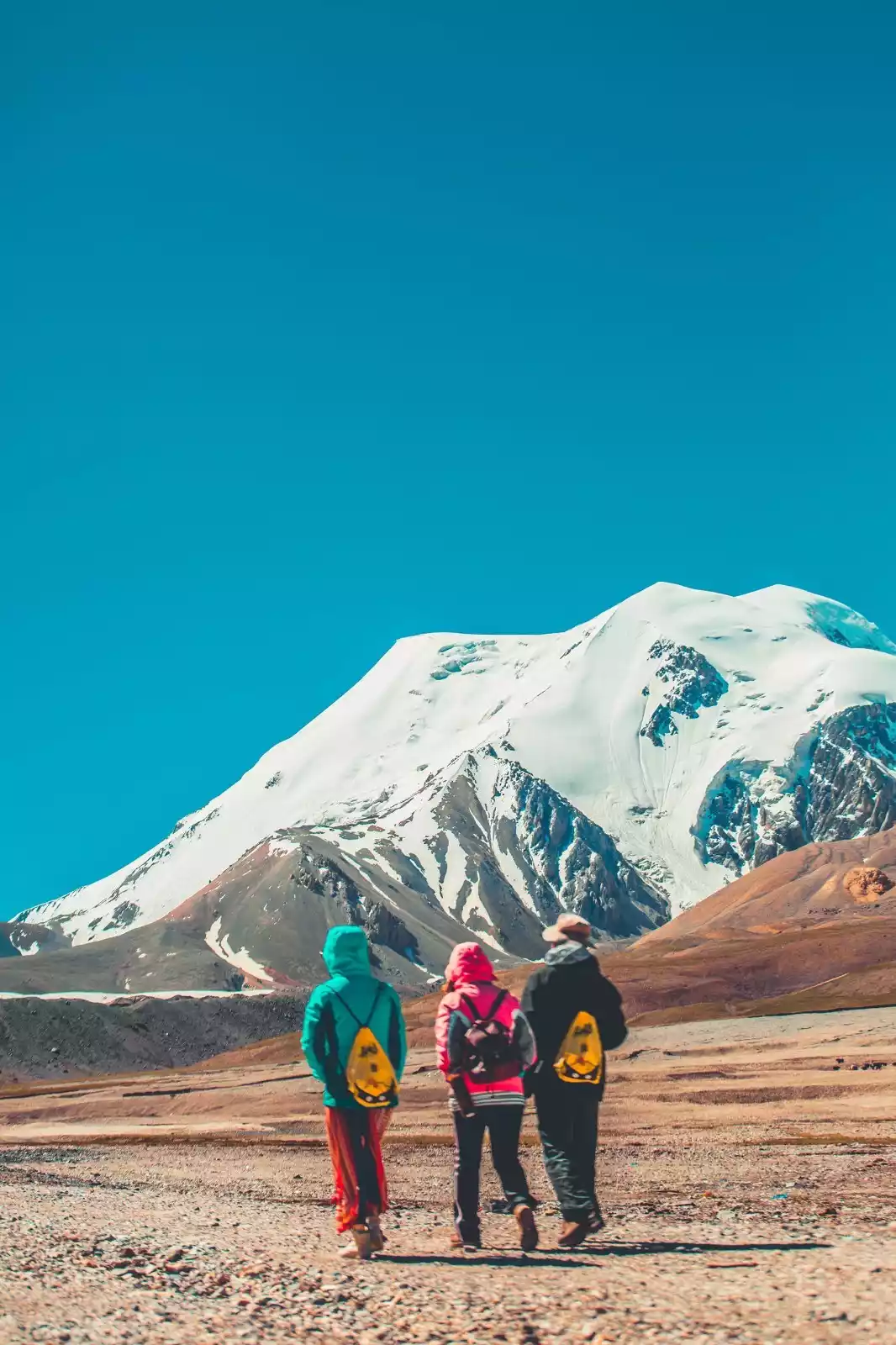
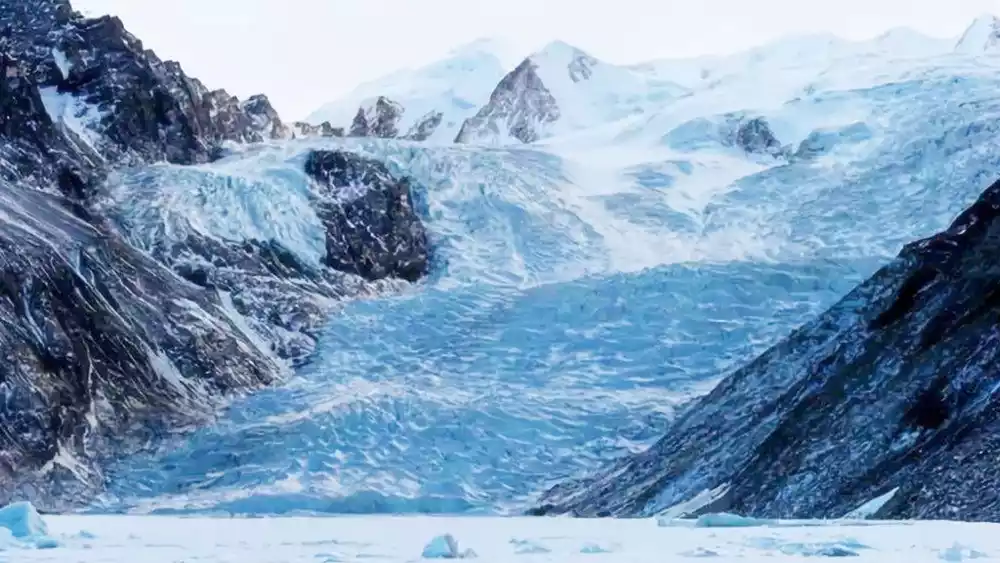
Bars Snow Mountain
📍Xichahe Village, Dahe Township, Sunan Yugur Autonomous County, Zhangye City, Gansu Province
The Bars Snow Mountain is the main peak among the six snow-capped mountains distributed in the east and west of Sunan. It is also a sacred mountain in the minds of the Yugur people. In the Yugur language, Bars is synonymous with "tall, majestic, and holy."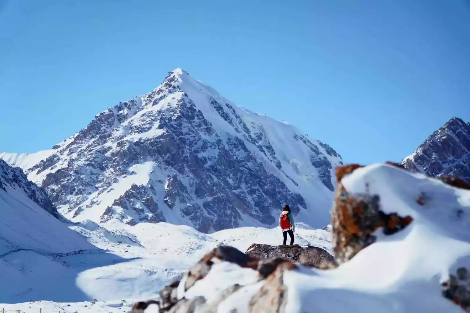
Here we can experience the beauty of the snow-capped mountains up close. It is a great honor to encounter Bars at the 4,000-meter platform. The Bars Scenic Area, which has been renovated in recent years, not only boasts magnificent glaciers and stunning snow-capped peaks, but also boasts a pure plateau ecosystem. Coupled with the stories of the Yugur people, this 5,000-meter snow-capped mountain is increasingly visible to the world.
On the journey to explore this destination, we will also pass through Yongtai Turtle City, Shandan Military Horse Farm, Liangzhou Wuwei, Qilian Secret Realm, and Alien Canyon, making this exploration full of surprises.
Animaqin
📍Northwest of Maqin County, Golog Prefecture, Qinghai Province, extending to the southern border of Gansu Province

The Amnye Machen Snow Mountain is a central branch of the eastern Kunlun Mountains. Its main peak, Machen Kangri, stands at 6,282 meters above sea level. Due to its high altitude, it is covered with snow year-round and has numerous glaciers. It is considered one of the four sacred mountains of Tibetan Buddhism, along with Mount Kailash, Mount Meili, and Mount Gaduojowo.
Compared to Gaduojuewo, Amnye Machen is slightly more famous. In addition to the main peak, Machen Kangri, you can also appreciate the spectacular Harong Glacier and Zagda Glacier.
Sichuan
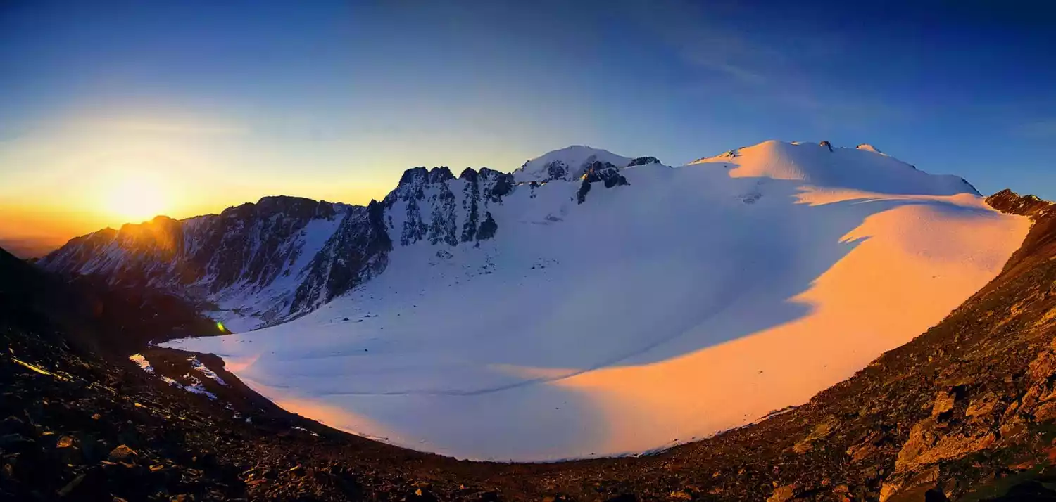
Mount Genyen
📍Southwest of Litang County, Ganzi Prefecture, Sichuan Province
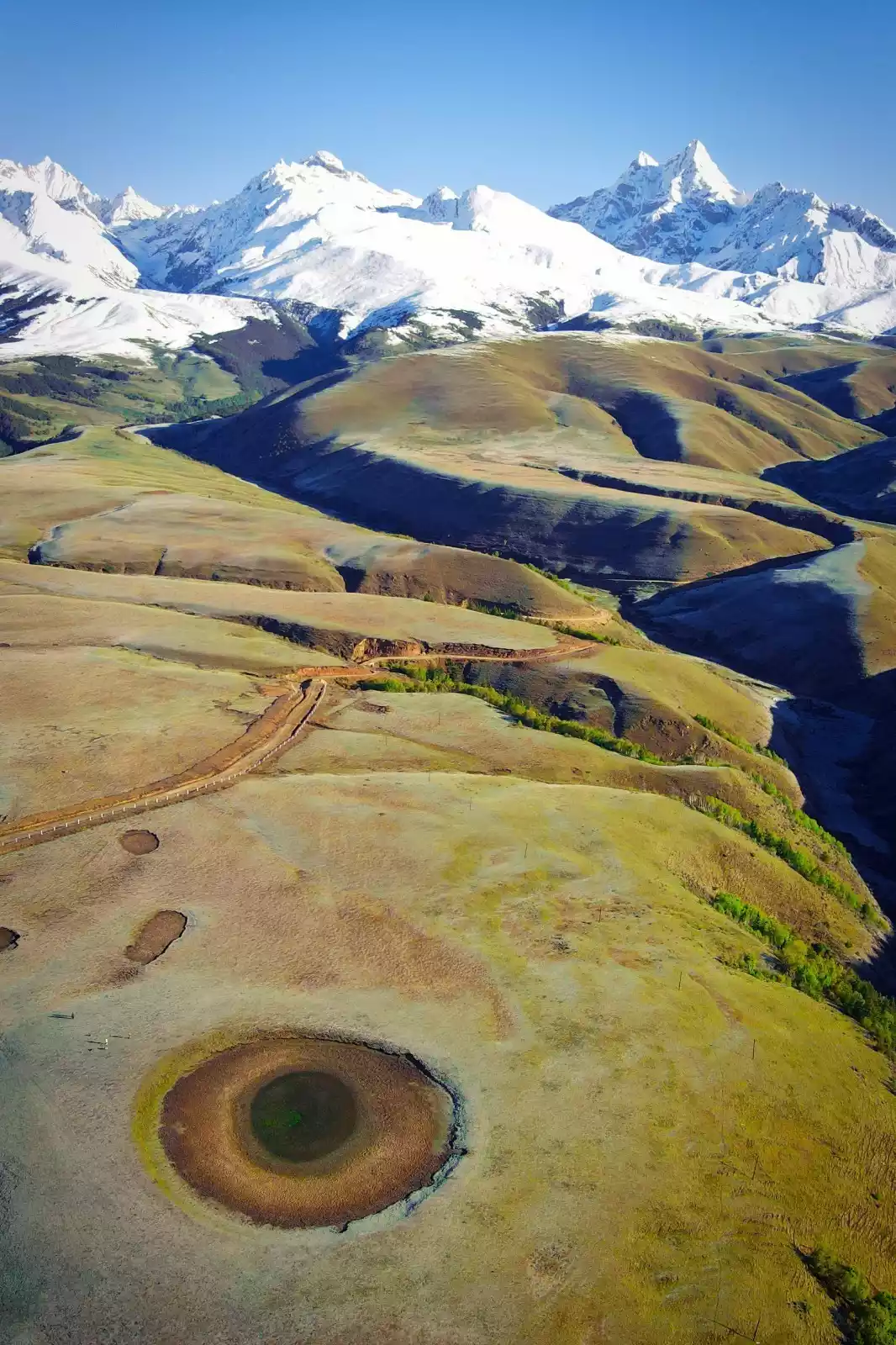
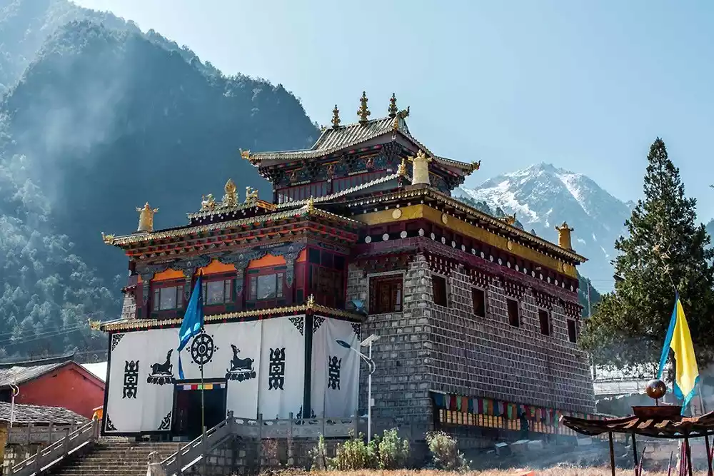
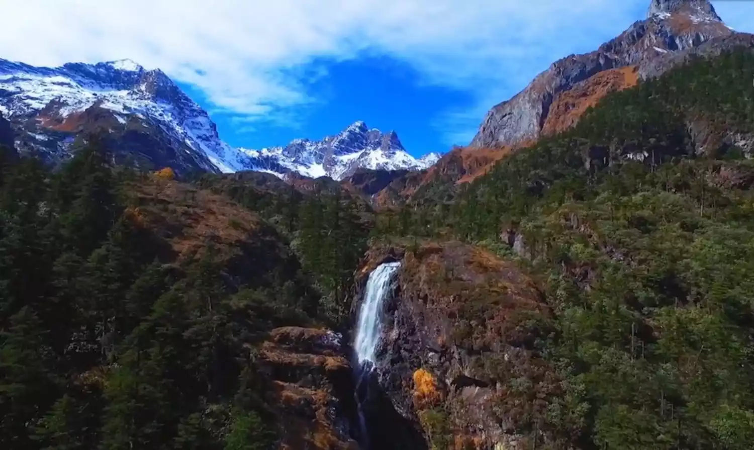
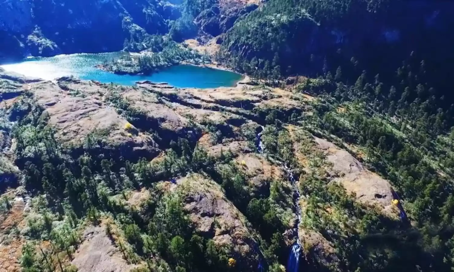
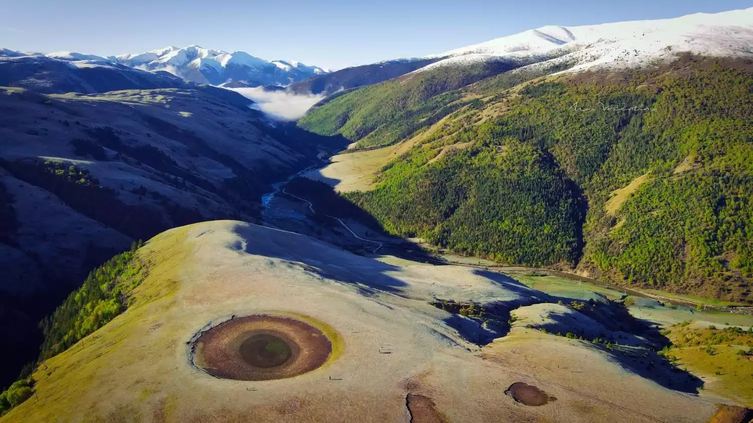
The Genyen area is full of snow-capped mountains, among which the main peak of Genyen is 6,204 meters above sea level. The top of the mountain is covered with snow all year round. If you are lucky, you can see the magnificent view of the golden mountain in the sun at Lenggu Temple at the foot of the mountain. The southern line of Genyen is known as the "top off-road route in western Sichuan". The scenery along the way can be called "top-notch", with snow-capped mountains, lakes, canyons, grasslands, glacial relics, forest vegetation... Almost one route can take in the essence of the plateau scenery.
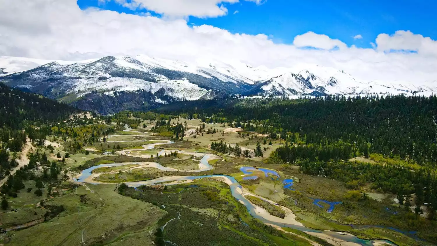
What is even more surprising is that on the east side of Genyen there is an eye looking up at the sky - the Eye of Genyen; at the foot of Genyen Mountain there is a temple with a thousand-year-old heritage - Lenggu Temple; on the side of the mountain there is a hiking trail leading to the mountain stream.
Conclusion
We travel on bumpy roads, searching for exotic cultures worn down by time; we go deep into the west, gazing at the snow-capped mountains and glaciers on the plateau; we explore China and experience every real journey.
Let’s adventure together for exploration and seek knowledge from the unknown. What awaits us is not only these snow-capped mountains and rivers, but a brand new journey across China.