
Day 1 Shenzhen Port → Sai Kung Country Park → MacLehose Trail Section 2
08:30
Meet and sign in at Gate 3 of Futian Port (Futian Port Subway Exit B). There are many people crossing the border on weekends, so please be sure not to be late. If there are more than 20 people registered, the meeting will be changed to Gate A3 of Liantang Port. After crossing the border, charter a car to Sai Kung and then take a taxi to the starting point of the hike.
Look for the yellow China-TravelNote flag. Tourists who need to exchange Hong Kong dollars, purchase Octopus cards and Hong Kong phone cards at the port should go to the port in advance to handle it themselves.
08:45
After gathering, we will go through customs together. After passing customs, we will take a taxi or charter a car (adjusted according to the gathering port) to Xiwan Pavilion, the starting point of the hike.
10:30
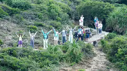
Arriving at Sai Wan Pavilion, the tour leader led everyone to warm up. Sai Wan Pavilion is not just a simple bus stop, but also the starting point for exploring Hong Kong's back garden.
11:00
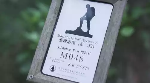
After warming up, we started hiking the highlight line of Section 2 of the Mai Trail (without having to cross Sai Wan Hill, so the intensity was much lower). We passed Chuitong'ao and looked out at the High Island Reservoir. Before we knew it, we saw the sea in the distance.
12:00
Arriving at Sai Wan Village at lunchtime, we can sit in a store and have lunch freely, or we can walk on Sai Wan Beach facing the sea, step on the water, or sit quietly on the rocks and listen to the sea breeze.
13:00
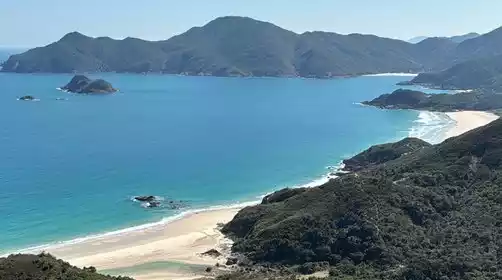
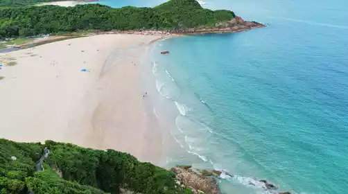
After a short break, we continued along the coastline. The sea view along the way made you take photos non-stop. We continued to walk forward and encountered another beach in Xiantian Bay.
1:30 PM
Ham Tin Bay Beach, one of Sai Kung's four bays, is renowned for its clear waters, white sand, and pristine scenery. Passing by On Kee Store, I sat in the courtyard, enjoying a cup of lemon tea and the sea breeze. It was truly relaxing.
2:30 PM
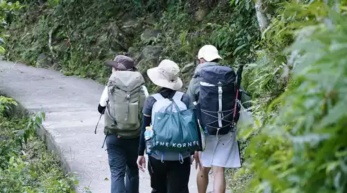
After a short break, we walked along the hiking trail through the village. If we met cattle, remember to say hello. After passing Dalang Village and feeling the climb, we passed through Chijing. We kept going and were getting closer to the finish line.
4:30 PM
Disband at Pak Tam Au, the end of the hike. From here, you can take a bus (at your own expense) to Sai Kung Pier in Hong Kong to continue your tour (please bring your Octopus card or change, the ride takes about 25 minutes) or take a bus to Sha Tin MTR Station (the ride takes about 1 hour) and transfer to the East Rail Line back to Shenzhen
The above time is for reference only, please refer to the progress of the day.