Day 1 Shanghai → Ningbo → Shanghai
07:00
Meet and sign in at the designated location of China-TravelNote.
07:15
Depart on time, with interactive onboard activities and itinerary introductions, and lots of laughter along the way!
10:30
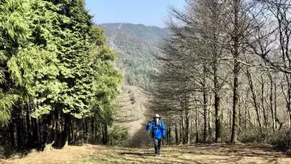
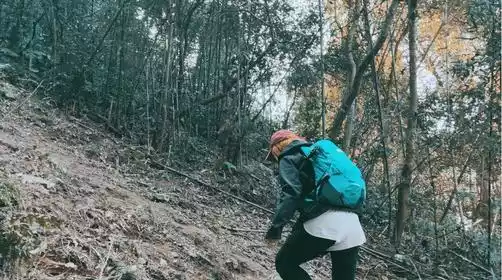
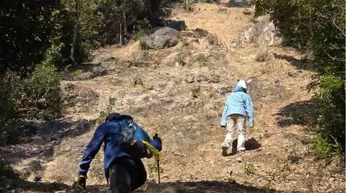
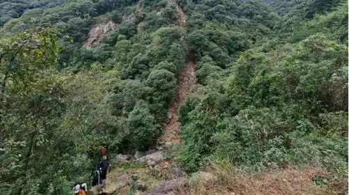
Arriving at the starting point of this hike, everyone packed up their equipment, followed the team leader to warm up, and started this Beilun graduation line challenge journey!
This challenge route is the Hutouling Grand Loop. Known for its firebreak loop, Hutouling is one of the most challenging routes in East China, with an actual ascent of 1,578 meters. This route is quite challenging and perfect for developing climbing skills. The entire route is 17 kilometers, with a cumulative ascent of approximately 1,600 meters (a watch will need to be higher) and a cumulative descent of approximately 1,474 meters. The lowest point is 46 meters above sea level, and the highest is 578 meters.
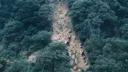
The whole route has 7 ups and 7 downs, and 90% of the climb is the fire road climb. The difficulty is no less than the Ningbo Forest Hot Spring Fire Road. Multiple slopes require the use of hands and feet.
The Hutouling Fire Road loop is known for its steepness and intensity, and serves as Beilun's outdoor graduation route. The path is primarily fire roads, with a slope of around 70 degrees, making it difficult to ascend and descend, and prone to slipping. However, it's quite thrilling and worth the challenge.
2:00 PM
We reached the 8km mark, where the leader closed the gate. Those whose path was closed could descend back to the starting point. (Estimated pace for the first 8km was 26 minutes per kilometer.) If you're feeling weak or prone to cramps, we recommend against continuing!
3:45 PM
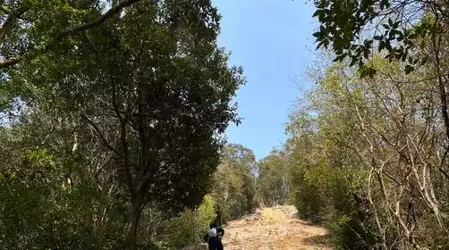
We arrived at the forest park section around 13km. To ensure safety, the team leader conducted a second checkpoint here. The participants who were checked in needed to walk down the stairs along the trail to the starting point. (The estimated pace to reach the second checkpoint was 22 minutes/km)
5:00 PM
End of the trip. Board the bus back to Shanghai at the right time.
8:30 PM
When we arrived in Shanghai, we kissed goodbye with tears in our eyes.
Note:
There will be slight adjustments to the closing points in autumn and winter, and the specific details will be announced by the tour leader on the day!
It gets dark earlier in autumn and winter, so it's recommended to bring a headlamp! Also, bring a set of clean clothes to change into after your hike to avoid getting cold in wet clothes!