Day 1 Shanghai → Wuxi → Dingshan → Shanghai
All day
07:30-07:45 Meet at the designated location of China-TravelNote and sign in. Depart at 07:45 sharp, enjoy interactive activities and itinerary introductions on board, and have fun all the way!
We arrived at the village at the foot of Dingshan Mountain around 10:45, had lunch in time, got off the bus to warm up, and then formed a team to go up the mountain.
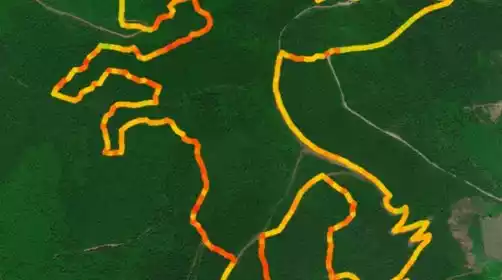
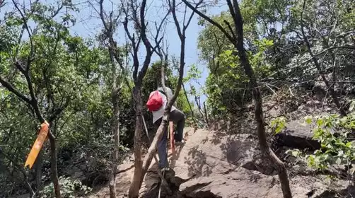
90% of the Pegasus Trail is off-road, with a complex terrain (dirt, dirt, rock, gravel, asphalt, bamboo, and thickets). The dirt roads are dusty, and the gravel roads are tough on shoes. 60% of the trail is shaded, so the sun protection factor is relatively low. Several sections involve walking through low bamboo thickets, so wearing a jacket and gloves is essential. There are also fallen tree stumps on the ground, and there are many stepped ups and downs in the woods, so be sure to pay attention to safety.
If you are traveling with multiple people, you need to keep some distance between the above sections to avoid dust and stones.
Check-in point:
The open space before the uphill section at Qianmatui, 80m above sea level (viewing the bamboo sea and Mount Yu in the distance)
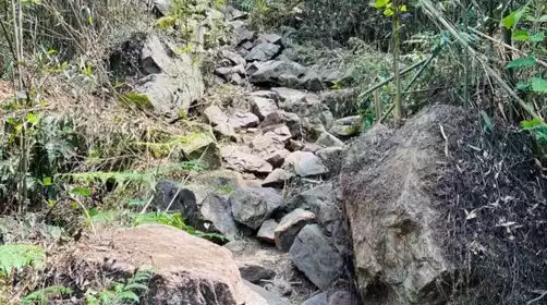
Climb 180m up the Matou Mountain to the rocky slope of the Beauty Rock
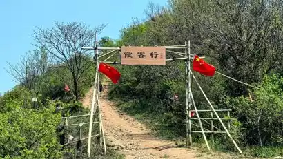
Dingxin Stone (from the Xiakexing Gate to the top of Dingshan Mountain)
Dingshan Eye (passing Dingxin Stone and heading uphill to the top of Dingshan, suitable for couples to take photos together)
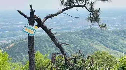
Dingshan Peak (273m above sea level, 360-degree panoramic view)
Asphalt road downhill from the top of Dingshan Mountain
The gravel road going downhill on horseback to Mawei (full of Gobi desert feeling, overlooking Huaxi Village)
We will reach the end point around 16:00, return to the hiking destination, take a brief rest and replenish supplies, then get on the bus back to Shanghai.
Arrived at the departure point in Shanghai around 19:00, reluctant to leave, kissed goodbye with tears!!