Day 1 Hangzhou → Dongbai Mountain → Hangzhou
07:00
We gathered at Exit A of the Binkang Road subway station on time to sign in. After signing in, we boarded the bus and set off at 7:30. On the way, the team leader introduced the other members to each other and laughed and chatted all the way. Before we knew it, we were approaching our destination.
09:30
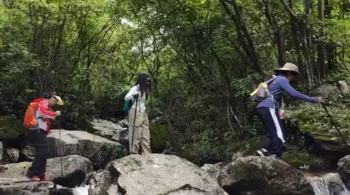
We arrived at the ancient village of Liaozhai at the foot of Dongbai Mountain and began our ascent. We noticed the changing scenery along the way. Below us, we saw a typical Jiangnan style, with winding mountain roads flanked by gurgling streams. Further up, we found endless tea plantations.
12:30
We arrived at Longmending Farmhouse, halfway up the mountain, where we rested and had lunch. There's a century-old wild azalea tree here, but it's only visible in spring! It's also common to encounter hikers from other parts of the country, especially backpackers.
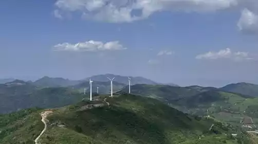
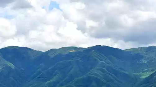
After lunch, we continued our journey. Another 45 minutes up, and the scenery changed dramatically. Trees vanished, and the mountains became covered in alpine meadows, towering and majestic. The vast, untamed landscape of the northern frontier appeared in the south of the Yangtze River! In spring, wild cherry blossoms bloomed in the distant mountains! In summer, the lush green alpine meadows are captivating. In autumn, reed catkins drift across the mountains. In winter, the temperature plummets, and the spectacular rime of the mountains often forms a sight many people flock to see.
2:00 PM
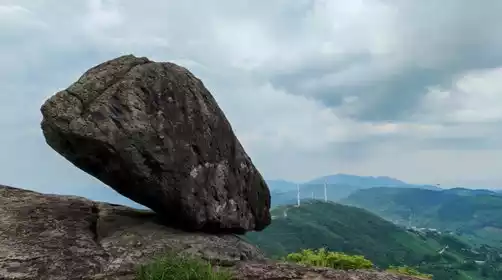
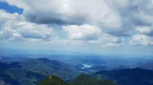
We can all reach the summit, where we take a group photo in front of the Taibai Monument. Then, we're free to explore the summit, where we'll find the eerie Fairy Temple, a dilapidated radar station, and a massive rock suspended in mid-air, yet incredibly stable. After a photo op, we'll descend the other side of the mountain. Instead of backtracking, we'll take the dirt road, passing two deserted villages with few inhabitants, past cascading waterfalls, across the Pingshikeng Reservoir, and on to the old house, looping back to our starting point, the Liao residence.
5:30 PM
We will drive back at dusk and arrive in Hangzhou around 19:30.