Xinjiang | 20 Photos Taken by a City Photographer on His First Trip to Xinjiang
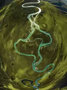
Yarkand River
by MysterioUs3r
Oct 22, 2025
by MysterioUs3r
Oct 22, 2025

Although I have previously photographed natural landscapes in places like Indonesia, Tibet, and Western Sichuan, my comfort zone has always been cityscapes, architecture, and cultural photography. During this National Day holiday, my friends and I drove 5,500 kilometers across southern Xinjiang, shooting intensively for 10 days. From river valleys to stone forests, from deserts to snowy mountains, the unique landforms amazed me time and again and made me press the shutter countless times.
-
Today, I’ve selected 2️⃣0️⃣ spots for you to see what Xinjiang looks like through the lens of a cityscape photographer:
-
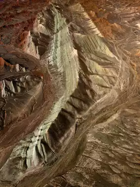
P1: Anjihai Grand Canyon
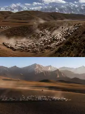
P2: Bayinbuluke
P3 top: Kunlun Sacred Place Banlange, P3 bottom: Grassland near Kashitash Village
P4 top: Hongshan Stone Forest, P4 bottom: Tree of the Earth in Baicheng
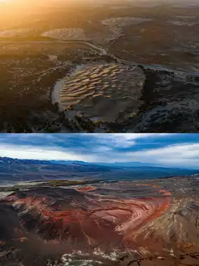
P5 top: Sandbar deep in the Taklamakan Desert, P5 bottom: Tianshan Red River Valley
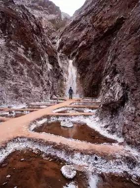
P6: Tomur Salt Waterfall
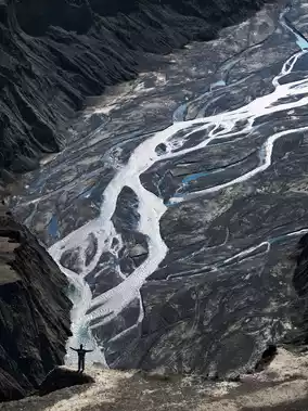
P7: Mysterious Grand Canyon of Tianshan
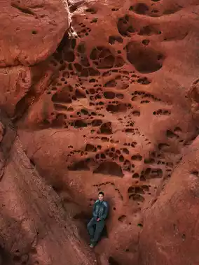
P8: Oytak Red Canyon
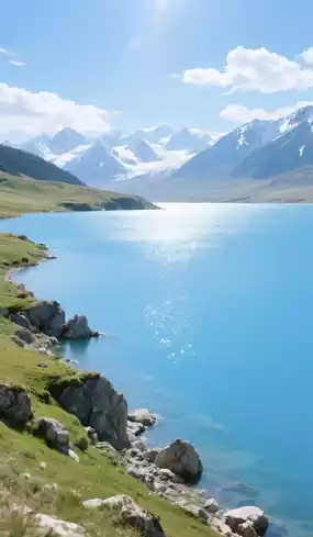
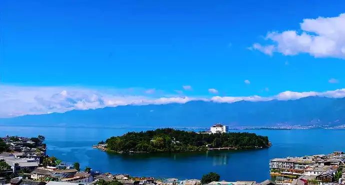
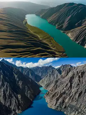
P9 top: Jiyin Reservoir, P9 bottom: Yarkand River
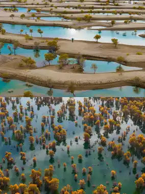
P10 top: Hetian Jade Lake, P10 bottom: Poplar Forest of Tarim River
P11 top: Snowy Pass of Yingtagu Road, P11 bottom: Landforms along Tasha Ancient Road
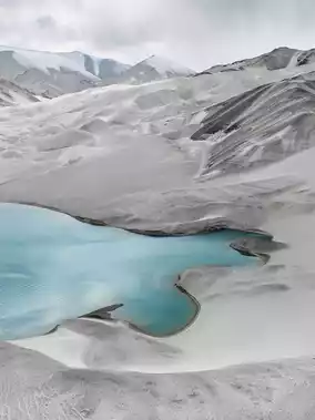
P12: Baisha Lake
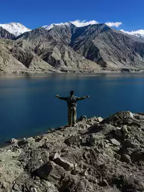
P13: Bandier Blue Lake
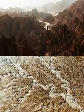
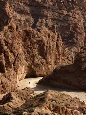
P14: Nurga Grand Canyon
-
Xinjiang is truly captivating; I’m already planning to visit once or twice every year from now on~
Post by MysterioUs3r | Oct 22, 2025