The same camera as Li Xian, check-in for life photos at Tiger Leaping Gorge
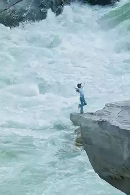
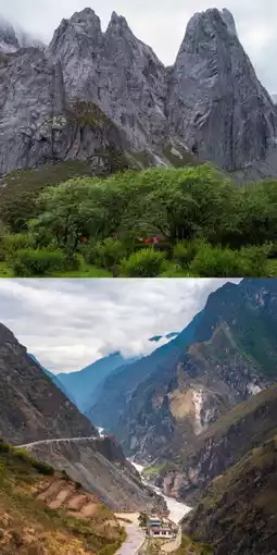
Middle Tiger Leaping Gorge
by MichaelMcNeil26
Apr 20, 2025
by MichaelMcNeil26
Apr 20, 2025
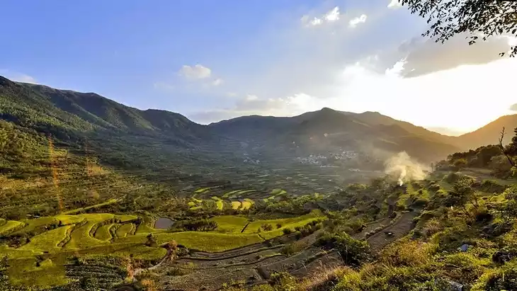
🚶♂️Yunnan, especially the area around Shangri-La, is incredibly rich in hiking resources. This time, I experienced four beginner-friendly hiking trails.👣
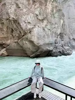
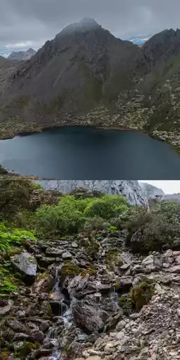
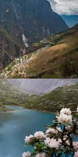
🍀Abu Jihuo Lake
I recommend taking the old route—it's shorter, free from motorcycle disturbances, and offers equally stunning scenery.
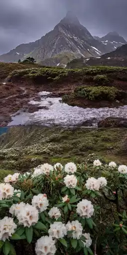
🍀Nanjilo
Currently the most popular hiking trail in the Shangri-La region. I went during heavy rain, but it added a unique charm to the views.
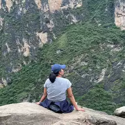
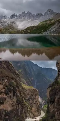
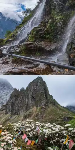
🍀Jiuzihai
A very niche hiking route in Shangri-La that only started gaining attention this year. Walking here feels like stepping into a sea of flowers.
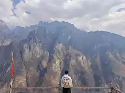
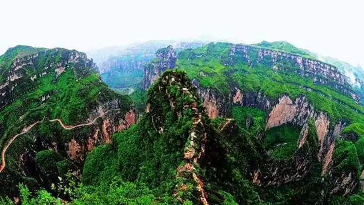
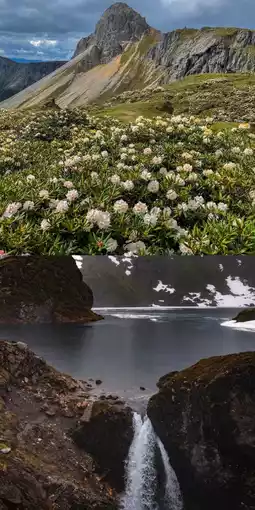
🍀Tiger Leaping Gorge
The most developed and famous hiking trail, attracting many international hikers.
🌳Recommended Itinerary
**Day 1:**
Tiger Leaping Gorge High Trail: From Tea Horse Guesthouse to Halfway Guesthouse, Teacher Zhang's Guesthouse, Middle Tiger Leaping Gorge, and Tianti Guesthouse. About 13 km in total, with almost no elevation gain except at Middle Tiger Leaping Gorge, making it relatively easy. Perfect for the first day to acclimatize to the altitude.
🌱**Day 2:**
Abu Jihuo Lake Old Route round trip. The scenic shuttle can take you directly to the alpine pasture at around 3,700 m. About 12 km in total with a 600 m elevation gain. The trail is well-defined and much easier compared to the new 28 km route.
🌱**Day 3:**
Shangri-La to Badi Township. A full day on the road, serving as a rest day after the first two hikes.
🌱**Day 4:**
Badi Township to Achidaga Village, Nanjilo, then to Deqin County. A village-arranged vehicle will take you near Lake No. 1 (around 3,900 m). Hike to Lake No. 5 and back—about 6 km with a 300 m elevation gain, a very relaxed route.
🌱**Day 5:**
Deqin County to Shangri-La. Another full day of rest on the road.
🌱**Day 6:**
Jiuzihai. The vehicle can take you up to around 3,700 m. The big loop crosses three mountain passes, totaling about 14 km. The trail isn’t well-marked, so it’s best not to go alone unless you’re experienced. The slopes aren’t too steep, so the difficulty is manageable.
🚶♀️**About Fitness**
As an example: I weigh around 110+ lbs, never do cardio, only drink cold water, and don’t take glucose—yet I completed the hikes without any issues.
⛰**About Altitude Sickness**
Though these areas are high-altitude, the abundant vegetation means altitude sickness is unlikely.
👚**About Clothing**
In June, a T-shirt with a windbreaker is enough if it’s sunny. If it rains, add an extra layer in between.
🌟**Tips❗️**
Always bring a raincoat—mountain weather is unpredictable. It can be sunny one moment and pouring the next.
Post by Savannah*Bailey62 | Jun 6, 2025