Changpinggou
What are the most recommended things to do in Changpinggou?
- Hike the scenic trails to admire waterfalls, rivers, and alpine meadows.
- Photography of natural landscapes and colorful forests.
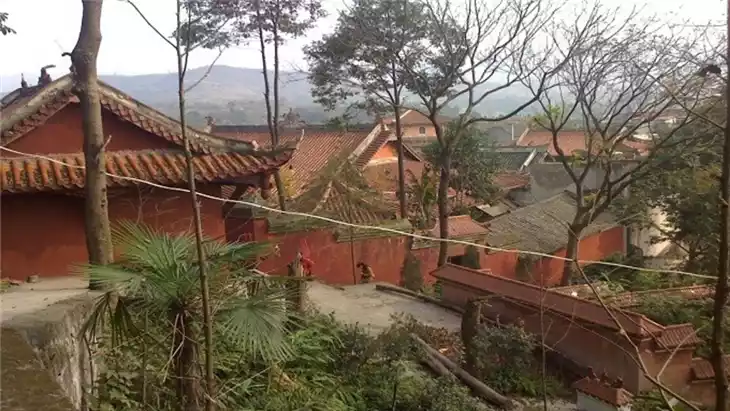
- Explore local Tibetan and Qiang culture in nearby villages.
- Birdwatching and spotting unique wildlife.
- Picnic or relax in designated natural rest areas.
Introducing Changpinggou
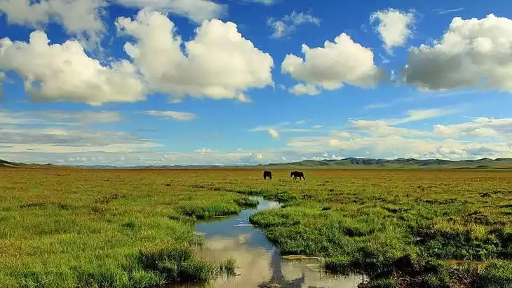
Changpinggou, a site of an ancient battlefield, is one of the three valleys and one mountain of Siguniang Mountain. Changpinggou stretches 29 kilometers and covers an area of approximately 100 square kilometers. The valley is long, gentle, and long, with Siguniang Mountain situated 16 kilometers into the valley. Only a portion of the road within the valley is accessible by car, while the rest is mostly accessible on foot or by horseback. Changpinggou leads directly to the foot of Siguniang Mountain, and it's also possible to bypass Siguniang Mountain and cross to Li County via Bipenggou.
Climate and best time to travel
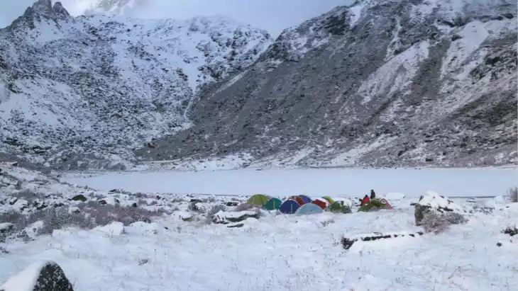
Xiaojin County has a subtropical monsoon climate. Its winters are cold and its summers are cool, with year-round dryness, scarce rainfall, and dramatic temperature fluctuations, making the four seasons less distinct. The average annual rainfall is 613.9 mm; the frost-free period is 220 days, the average annual temperature is 12.2°C, and the annual sunshine hours are 2,214 hours.
Recommended number of days and locations for visiting
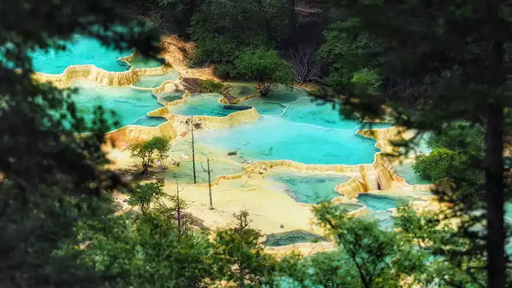
The scenic area has ancient cypress paths, Lama Temple, dry lakes, waterfalls tens of meters high, and strange rock scenery.
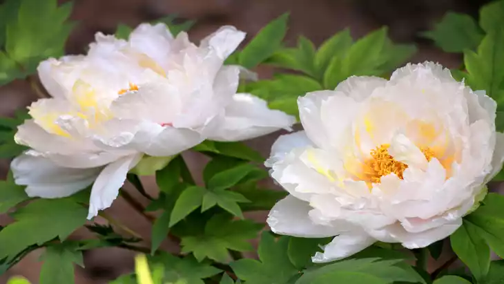
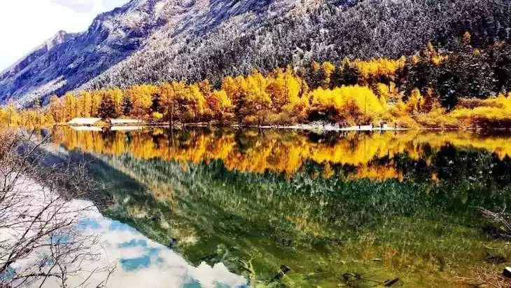
In spring, mountain flowers and rape flowers bloom together;
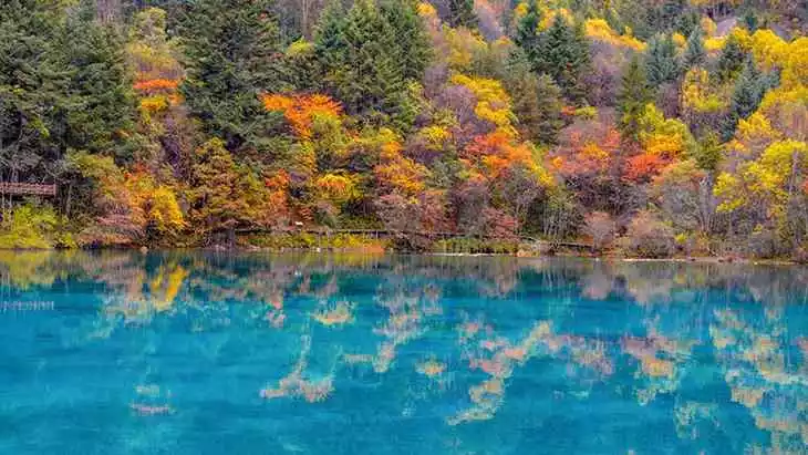
In autumn, red birch and red maple trees compete for beauty.
The lush green cypresses and pines that have experienced the vicissitudes of life are rushing in the dense forest, and the ancient post road stretches through the vast sea of forests.
Tickets
Peak season: 70 yuan/person; off-season: 50 yuan/person
Attraction opening hours
Open all year round
Most Popular FAQs for Changpinggou
What is the history and significance of this attraction/city?
Changpinggou is a protected nature reserve known for its pristine forests, alpine scenery, and cultural heritage of Tibetan and Qiang communities.
Where is it located and how do I get there (metro, bus, taxi, walking)?
Located in Aba Prefecture, Sichuan. Accessible by car or local tour buses from nearby towns. Walking is needed to explore trails inside the valley.
What are the opening hours and best times to visit?
Open daily, generally from 8:00 AM to 6:00 PM. Best visited from late spring to early autumn for clear weather and vibrant landscapes.
What is the entrance fee/ticket price, and how to buy tickets (online/offline)?
Entrance fee is around 80–120 CNY; tickets can be purchased at the park entrance or via authorized online platforms.
Do I need to book tickets in advance, and how far in advance?
Booking is recommended during peak season (1–2 weeks ahead) to ensure entry and transportation arrangements.
How much time is needed to fully explore it?
4–6 hours for main trails; a full day if including cultural villages and scenic photography stops.
What are the must-see highlights or main areas inside?
- Main waterfall valley
- Alpine meadows and forested trails
- Traditional Tibetan and Qiang village areas
- Rivers and scenic viewpoints along trails
Are guided tours or audio guides available (and in which languages)?
Local guides are available, mostly in Chinese; limited English-speaking guides may be arranged in advance.
What are the best viewpoints or photography spots?
- Top of waterfall viewpoint
- River crossing bridges with scenic backdrops
- Alpine meadows at sunrise or sunset
What is the recommended route or itinerary inside?
Start at the main entrance, hike along the river to waterfalls, visit cultural villages, then return via scenic loop trail.
Are night visits, light shows, or special tours available?
No night tours; daytime exploration is standard. Special cultural events may occur seasonally.
Is it crowded, and when are the least crowded times/days to visit?
Less crowded on weekdays; peak season is summer and national holidays.
What facilities are available (toilets, food, water, rest areas, shops)?
Basic toilets, rest areas, and small food stalls are available near the entrance and main trails.
Is the attraction accessible for elderly, children, or disabled visitors?
Some trails are moderate; elderly and children can access easier paths; wheelchair access is limited.
Is cash needed or are cards/mobile payments accepted?
Cash is recommended; some ticket counters may accept mobile payments.
What restaurants or cafes are available inside or nearby?
Small local eateries near the entrance and nearby villages serving Tibetan and Qiang cuisine.
Are there vegetarian/vegan/halal food options?
Vegetarian options are available; halal options are limited.
What hotels or accommodations are close to the site?
Guesthouses, small hotels, and lodges are available in nearby towns or valley outskirts.
What other attractions or landmarks are nearby and easy to combine in a day trip?
Nearby nature reserves, alpine lakes, and Tibetan-Qiang cultural villages can be combined in day trips.
Are there souvenir shops and what are the typical souvenirs?
Souvenirs include local crafts, wool products, and traditional Tibetan or Qiang items.
What are the best transportation options to continue the trip after visiting?
Car, local buses, or arranged tours to nearby towns and other scenic areas in Aba Prefecture.