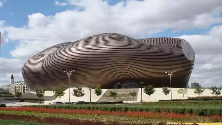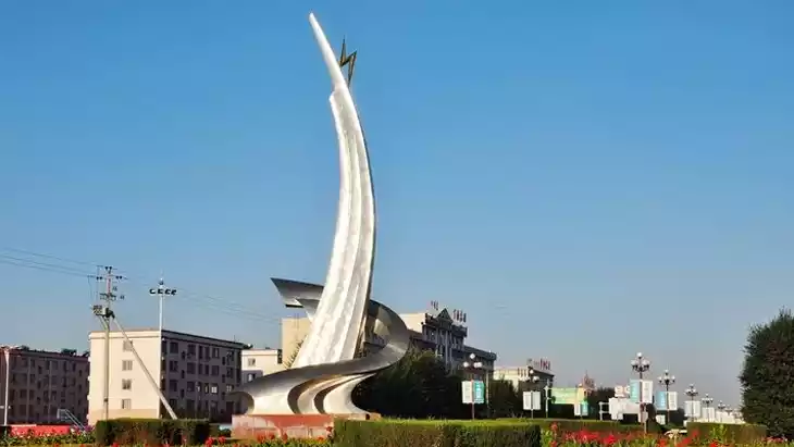
Introducing Dalat Banner
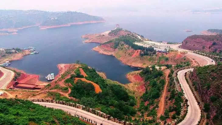
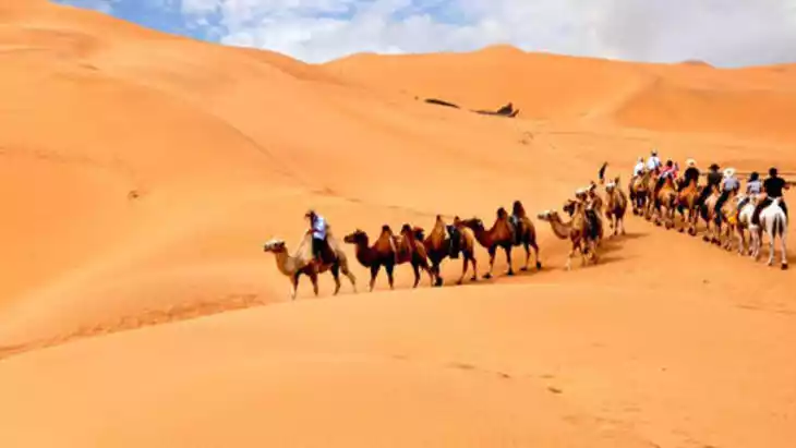
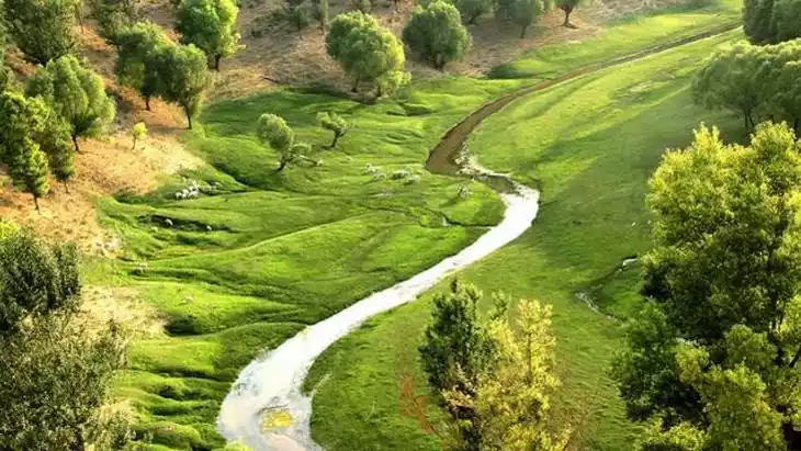
The beautiful and fertile Dalate Banner is located in the southwestern part of the Inner Mongolia Autonomous Region, on the southern bank of the Yellow River and across the river from Baotou City to the north. It serves as the northern gateway to Ordos City. Dalate Banner's terrain rises in the south and falls in the north, with the altitude dropping from 1,500 meters to 1,000 meters. It is divided into three natural zones. The southern part, located at the northern end of the Ordos Platform and accounting for 24% of the total area, is a hilly, rocky, and mountainous area with chestnut-calcareous soils. The terrain is rich in mineral deposits, but the terrain is highly undulating and subject to severe soil erosion. It is home to seven towns, one sumu, and 130 villages. The central part comprises the Kubuqi Sand Belt, covering 49% of the total area and boasting sandy loam soils suitable for both forestry and animal husbandry. The northern part, comprising 27% of the total area, is the Yellow River alluvial plain, flat and composed of irrigated meadow soils.