Makalu
What are the most recommended things to do in Makalu?
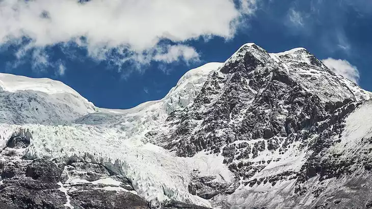
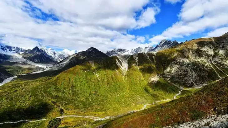
- Admire the towering peaks and dramatic ridges of Makalu, the fifth highest mountain in the world.
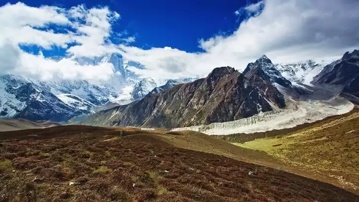
- Trek or hike along designated trails for stunning mountain and glacier views.
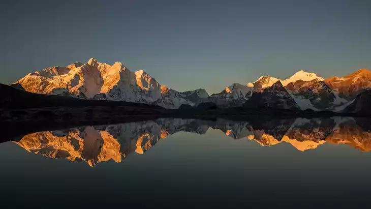
- Take photographs of Makalu from viewpoints like Makalu Base Camp or surrounding valleys.
- Observe unique Himalayan flora and fauna along the trails.
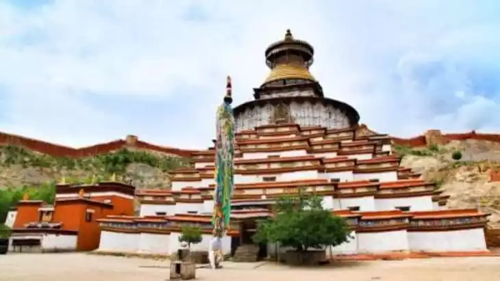
- Experience local Tibetan culture in nearby villages and monasteries.
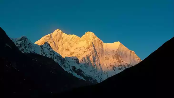
Introducing Makalu
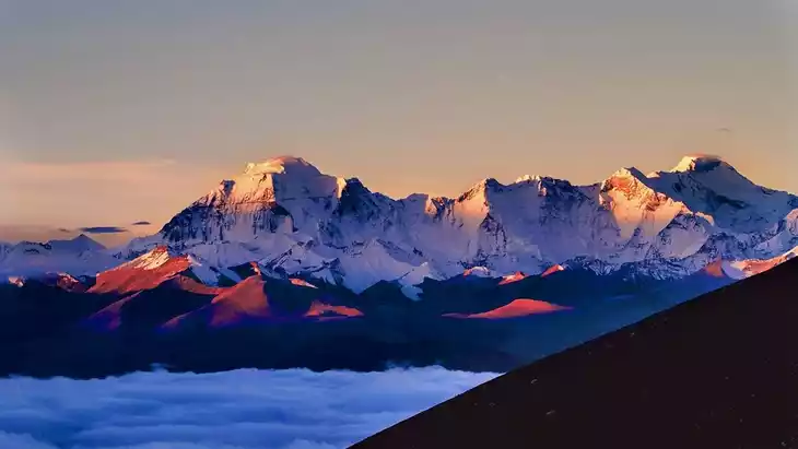
Mount Makalu is located in the central Himalayas, 24 kilometers southeast of Mount Everest. It lies along the northwest and southeast ridges, with its northern side within the territory of China's Tibet Autonomous Region and its southern side within the Kingdom of Nepal. At 8,463 meters above sea level, it ranks as the fifth highest peak in the world.
Mount Makalu has five main ridges: the Northwest Ridge, Southwest Ridge, Northeast Ridge, Southeast Ridge, and North Ridge. The North Ridge's satellite peak is Mount Everest, at 7,816 meters. The Northwest Ridge's satellite peak is Makalu II, at 7,640 meters. The Southeast Ridge's satellite peak is slightly higher, at 8010 meters.
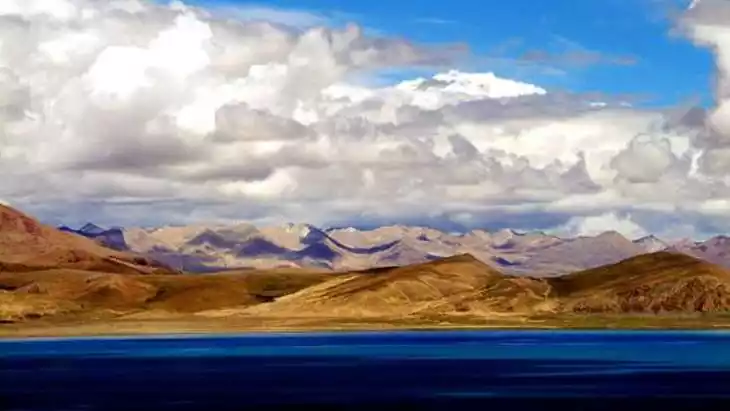
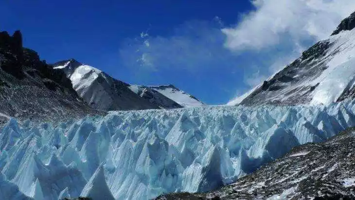
These peaks are covered with thick ice and snow, and huge glaciers are distributed in the slopes and valleys. The glaciers are full of jagged cliffs and cracks, and ice and snow avalanches are also very frequent.
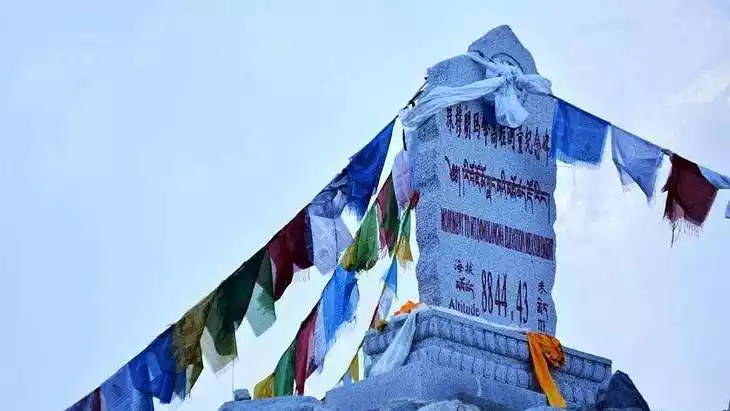
The best place to view Mount Makalu is from the Mount Everest Observation Deck.
Climate and best time to travel
The period from the end of April to the end of May, or from September to October, is the transition period between the windy season and the rainy season, which is an excellent time for mountaineering activities. The best climbing season in the Himalayas, including Mount Makalu, is spring, when the good weather period lasts longer, generally about two weeks.
Recommended number of days and locations for visiting
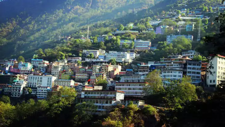
Access : From Lhasa, drive along the China-Nepal Highway through Gyantse and Shigatse to Shegar, a 670-kilometer journey that takes two days. From there, turn west and south through Baiba, Pazhuo, and Kada to Yupa Township, a distance of approximately 120 kilometers. Alternatively, you can take a cattle scooter south along the valley of the Ganma Zangbo River (a tributary of the Pengqu River) to Shajitang Base Camp, a distance of approximately 60 kilometers. This base camp is located at the northeastern foothills of Mount Makalu, at an altitude of 3,600 meters. The campsite is relatively open and has ample water.
Tickets
free
Attraction opening hours
All day
Most Popular FAQs for Makalu
What is the history and significance of this attraction/city?
Makalu, standing at 8,485 meters, is part of the Mahalangur range of the Himalayas and is renowned among mountaineers for its technical difficulty. The area is significant for its natural beauty, biodiversity, and cultural importance to Tibetan communities living nearby.
Where is it located and how do I get there (metro, bus, taxi, walking)?
Makalu is located in the eastern Tibet region of Shigatse Prefecture. Access requires travel via private vehicle or organized tour from towns like Shigatse or Tingri. There are no metro or public bus options; trekking access starts from designated base camps.
What are the opening hours and best times to visit?
- Open year-round, but only accessible during daylight.
- Best times to visit are from April to May and September to October, offering clearer weather and stable trekking conditions.
What is the entrance fee/ticket price, and how to buy tickets (online/offline)?
No formal entrance fee exists. Access requires a Tibet Travel Permit arranged via a registered travel agency.
Do I need to book tickets in advance, and how far in advance?
Yes, Tibet Travel Permits should be arranged 1–2 weeks in advance through a licensed travel operator.
How much time is needed to fully explore it?
Exploration can take from a full day to multiple days depending on whether trekking around the base or visiting nearby villages.
What are the must-see highlights or main areas inside?
- Makalu Base Camp for close views of the peak.
- Surrounding valleys with glaciers and alpine landscapes.
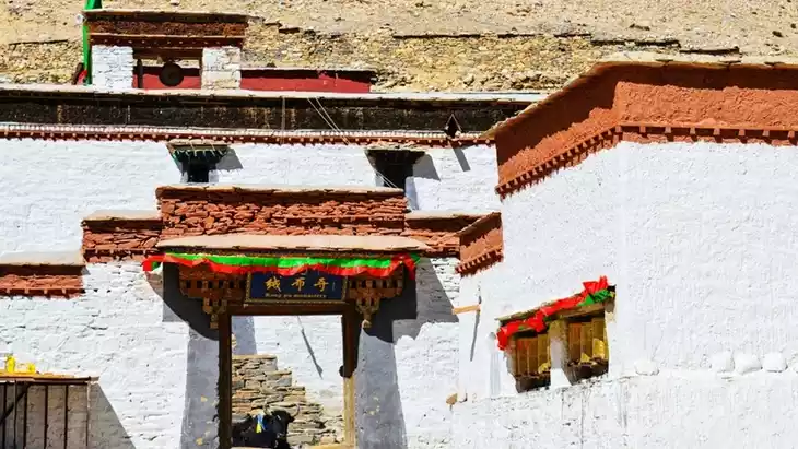
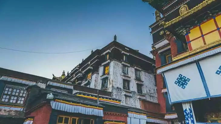
- Local Tibetan settlements and monasteries for cultural insights.
- Panoramic viewpoints along trekking routes.
Are guided tours or audio guides available (and in which languages)?
Guided tours are available through local trekking operators, mainly in English and Chinese. Audio guides are generally not provided.
What are the best viewpoints or photography spots?
- Makalu Base Camp for dramatic summit shots.
- Nearby ridges and high points along trekking trails.
- Valleys showcasing glaciers and alpine scenery.
What is the recommended route or itinerary inside?
Start from the nearest access village or base camp, follow trekking routes toward viewpoints, explore surrounding valleys, and return along the same trail or through connected villages.
Are night visits, light shows, or special tours available?
No night visits or light shows; special tours are daytime trekking packages provided by local operators.
Is it crowded, and when are the least crowded times/days to visit?
The area is sparsely visited due to its remote location. Weekdays and early mornings are the least crowded times.
What facilities are available (toilets, food, water, rest areas, shops)?
- Basic facilities may exist at base camps or village stops.
- Bring your own food, water, and camping supplies for trekking.
- Rest areas are natural, like flat spots or shaded areas along trails.
Is the attraction accessible for elderly, children, or disabled visitors?
Due to high altitude and rugged terrain, accessibility is limited. Elderly, children, or disabled visitors should exercise caution and consider health risks.
Is cash needed or are cards/mobile payments accepted?
Cash is recommended, as mobile or card payments are unlikely to be accepted in remote trekking areas.
What restaurants or cafes are available inside or nearby?
Limited teahouses or small eateries in nearby villages; no formal restaurants directly on trekking routes.
Are there vegetarian/vegan/halal food options?
Vegetarian options may be available at local teahouses; vegan or halal options are limited.
What hotels or accommodations are close to the site?
- Guesthouses or lodges in nearby villages or at base camps.
- Some trekking operators provide tents or camping accommodations.
What other attractions or landmarks are nearby and easy to combine in a day trip?
- Everest North Base Camp (via Tingri route).
- Nearby Himalayan peaks and trekking trails.
- Local Tibetan monasteries and settlements.
Are there souvenir shops and what are the typical souvenirs?
Small shops near villages may offer Tibetan handicrafts, prayer flags, and wool textiles.
What are the best transportation options to continue the trip after visiting?
- Private or tour vehicle to return to Shigatse or Tingri.
- Organized trekking tours are recommended for onward travel due to limited public transport.