Recommended world classic hiking routes - hiking in the Scottish Highlands, UK
Preface
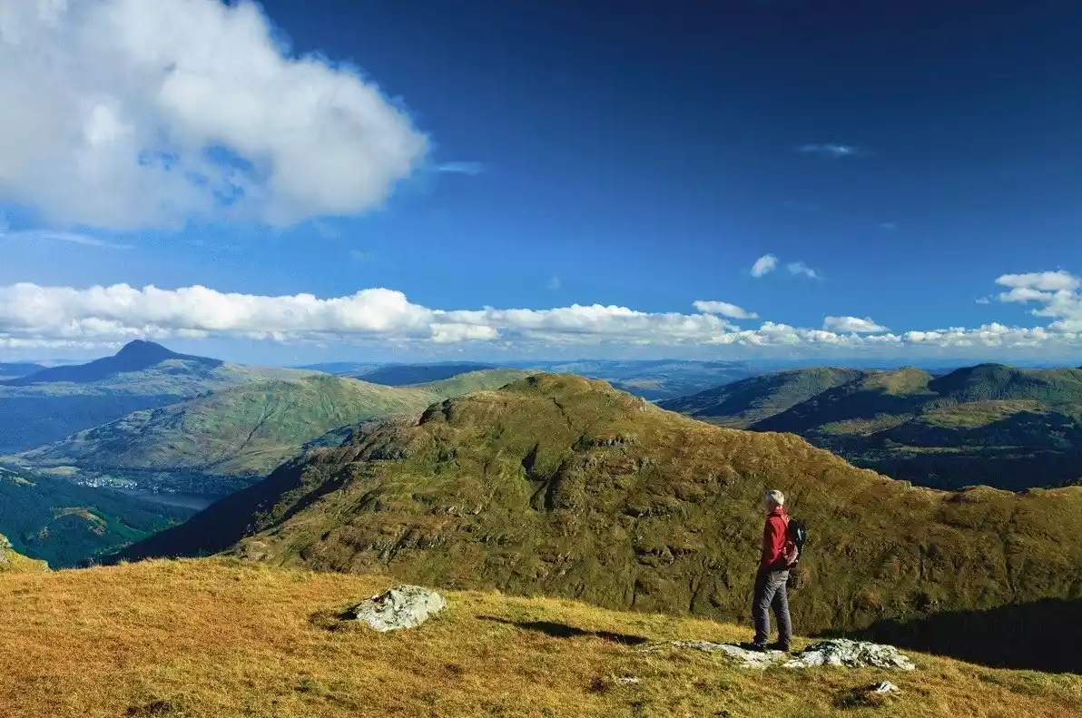
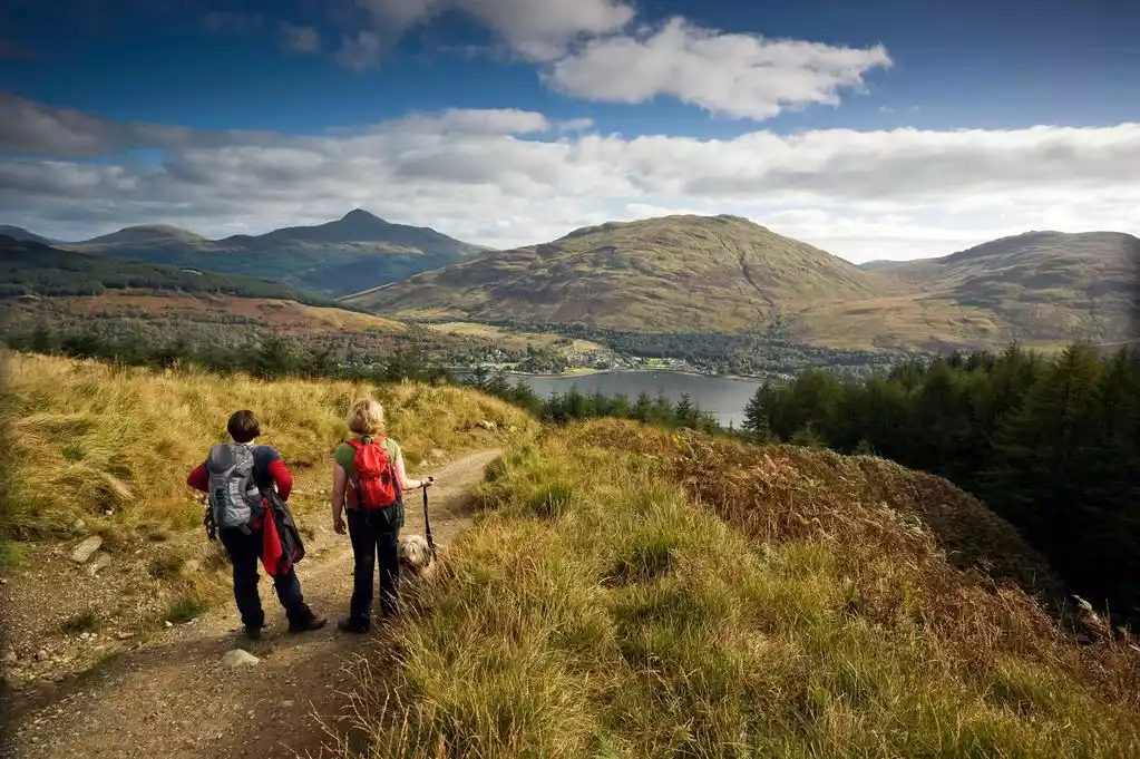
The West Highland Way is a world-renowned and very classic long-distance hiking route, as famous as the Mont Blanc, Inca Trail, Annapurna and other hiking routes, and has epic natural beauty.
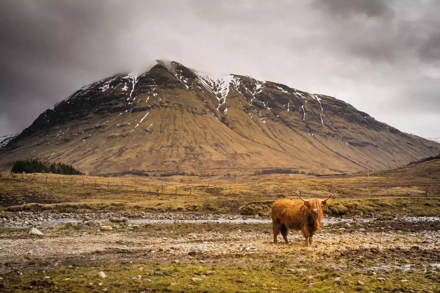
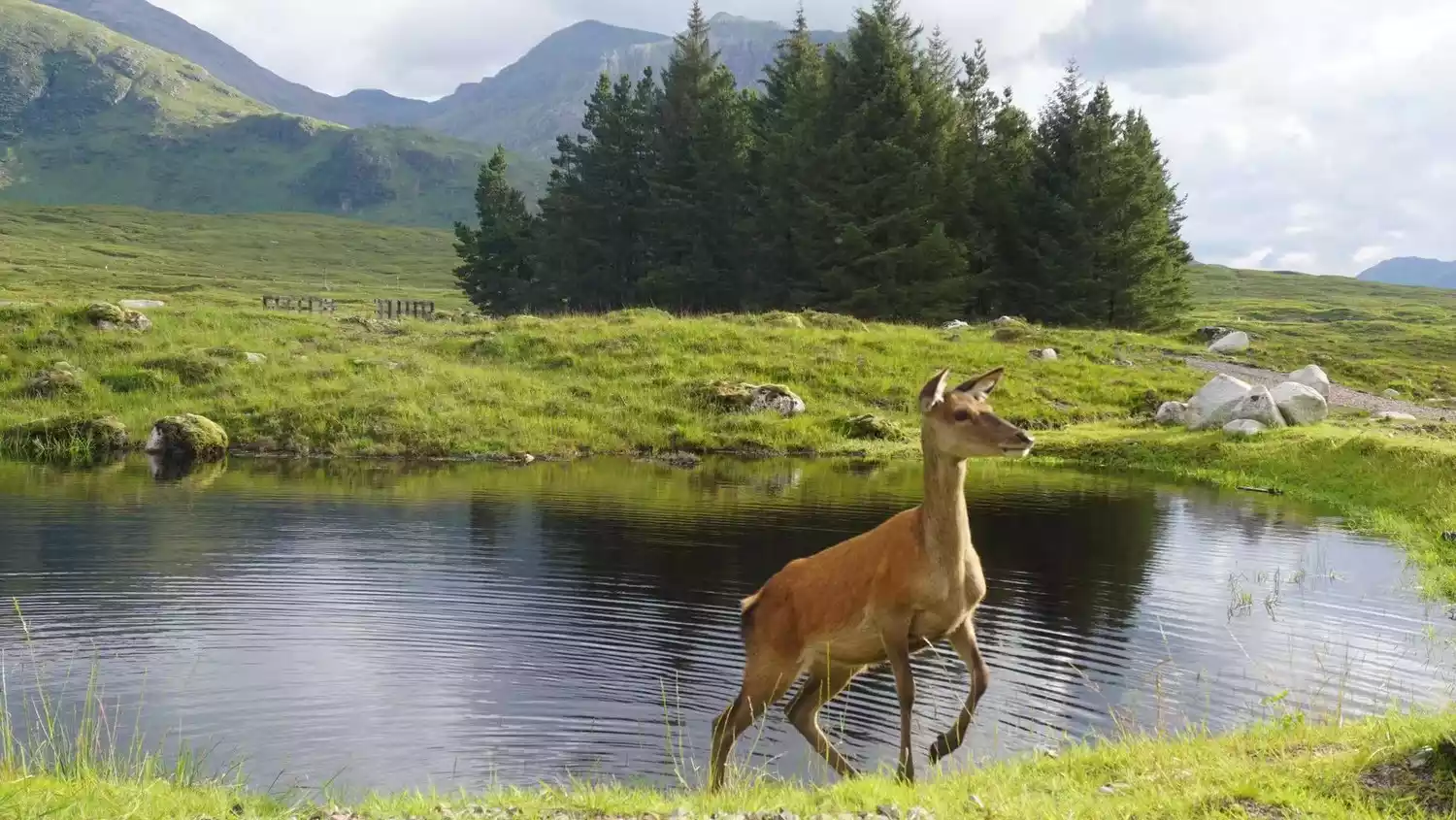
From Milngavie in Glasgow to Fort William in the Scottish Highlands, a distance of nearly 150 kilometers, the beauty of the Scottish Highlands traverses a cold and distant history. A past of struggle and conflict has long been shattered in the boundless expanse, lingering with a deep, serene, poetic melody. In Scotland, listen to the ethereal, ballad-like sound of the sea breeze, marvel at the layers of emerald green mountains, gaze up at the crystal-clear sky, and step across the lakes that reflect the heavens... Stories are passed down through generations, and time never ages. The secrets of the Scottish Highlands await your discovery.
Route Overview
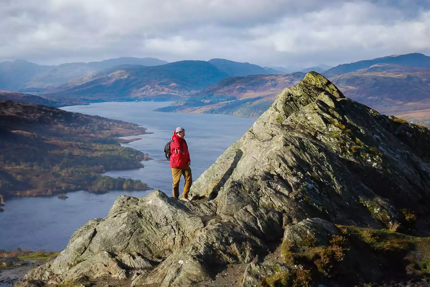
As Scotland's first officially approved long-distance hiking trail, the West Highland Path stretches from Milgate in Glasgow to Fort William. This route connects directly to Scotland's most beautiful scenery, from the Scottish countryside to national parks, from quiet lochside paths to steep mountain trails. The West Highland Path showcases the beauty of Scotland in its own unique way.
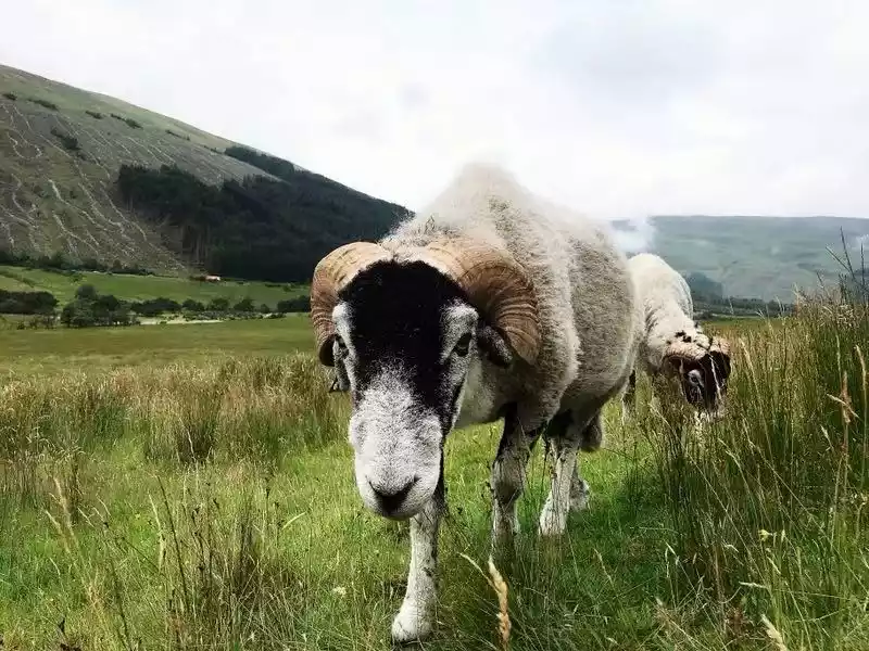
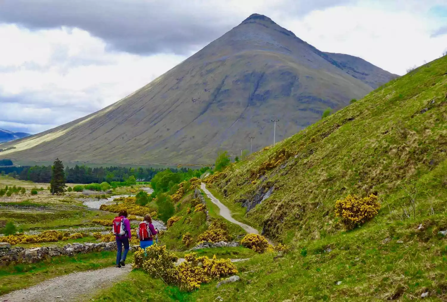
 It passes by the Rannoch Moor or dances among the Campsie Hills. No matter where it goes, it can take you to appreciate the soft or wild beauty of Scotland, and the difficulty of conquering the hills of the West Highlands will also leave a deep impression on you.
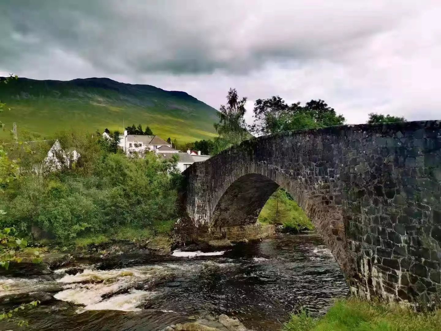
Some sections of the Highland Trail are made up of ancient roads, some are shepherd's paths walked by local residents for generations, some are "retired" military roads, and some are abandoned tracks and some early training routes. The wonderfulness of the journey can only be deeply felt by walking it yourself.
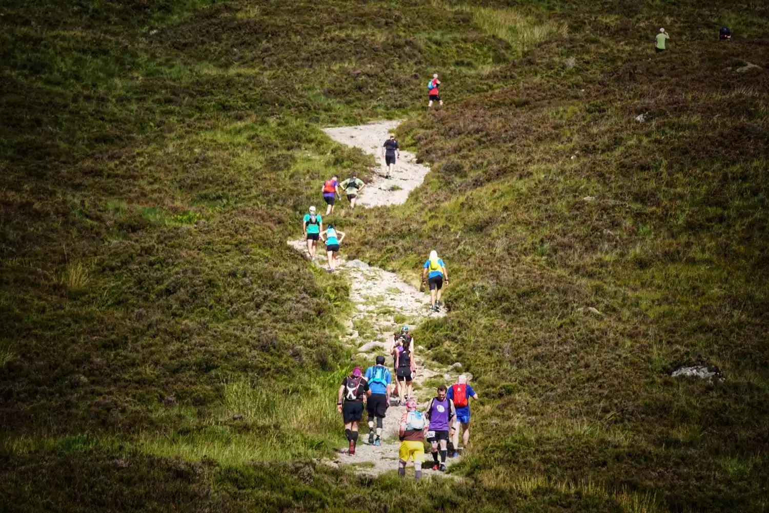
Walking from south to north, from Milgai to Fort William, the scenery becomes even more charming as you slowly change from the easy hiking to the later crossing of mountains and hills.
Tips:
English name: WEST HGHLAND WAY
Specific location: Scotland, UK
Length: 154 km
Best time to hike: April to October
Route Recommendations
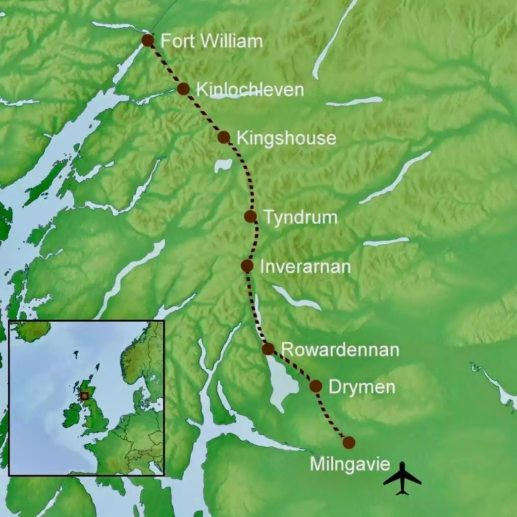
Day 1: Arrive in Glasgow
Day 2: Glasgow - Milngavie - Drymen
Hiking distance: 19 km
Hiking time: 5-6 hours
Cumulative ascent and fall: +210 meters
Day 3: Drymen - Rowardennan
Hiking distance: 23 km
Hiking time: 6-7 hours
Cumulative ascent and fall: +430 meters
Day 4: Rowardennan - Inverarnan
Hiking distance: 23 km
Hiking time: 6-7 hours
Cumulative ascent and descent: +475 meters
Day 5: Inverarnan - Tyndrum
Hiking distance: 19 km
Hiking time: 5-6 hours
Cumulative elevation: +700/-300 meters
Day 6: Tyndrum - Inveroran
Hiking distance: 14 km
Hiking time: 4-5 hours
Cumulative ascent and fall: 330 meters
Day 7: Inveroran - Glencoe
Hiking distance: 16 km
Hiking time: 4-5 hours
Cumulative elevation: 314 meters
Day 8: Glencoe - Kinlochleven
Hiking distance: 14 km
Hiking time: 4-5 hours
Cumulative ascent and fall: 430 meters
Day 9: Kinlochleven - Fort William
Hiking distance: 25 km
Hiking time: 6-7 hours
Cumulative ascent and fall: 475 meters
Day 10: Fort William - Glasgow
Tips for hiking in the Scottish Highlands
1. Hiking itineraries are usually divided into 6 parts, and each part is further divided into 1 to 3 sections according to the itinerary. Each section can be completed in one day for most hikers. The official website of the West Highland Trail also has detailed hiking maps for each section.
2. The road in Strathbrain is very flat, with vast farmland stretching out in the distance, offering breathtaking views. There are also many wineries along the way, and you'll pass by an abandoned railway track.
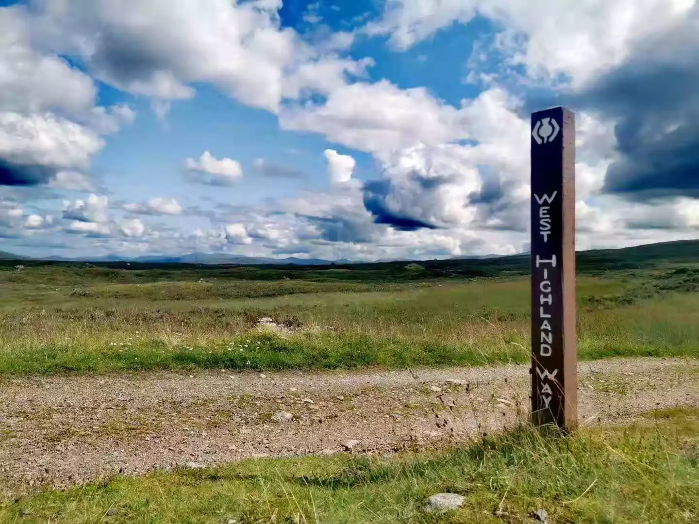
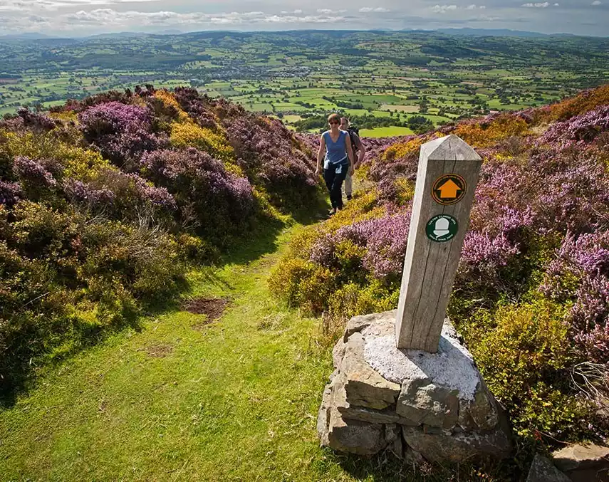
3. There are unique signposts throughout the route, with hexagonal white icons carved on wooden posts. They are very clear and eye-catching, so you don't have to worry about getting lost. However, these signposts only indicate the direction and do not contain information such as time and distance, so a detailed map is still necessary.
4. The West Highlands of Scotland are quite windy, so be sure to wear a windproof jacket. Also, the trail is quite rugged, so hiking boots and trekking poles are essential.
5. There are luggage handling companies serving you throughout the trip, so you can hand over your luggage to them and enjoy the journey on foot without any hassle.
6. Most of the road to Loch Lomond runs along the shore of Loch Lomond. Because the road is narrow and there are many vehicles passing through, and there are many large and small slopes within a distance of 11 kilometers, it will be a little difficult to walk.
Other classic walks in the UK
1. Hadrian's Wall Trail
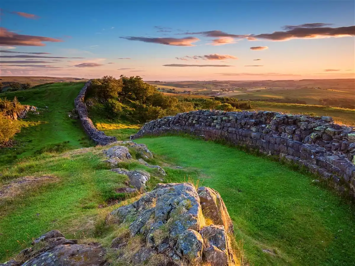
English name: Hadrian's Wall Path
Location: Northern England, UK
Length: 135 km
Best time for hiking: May to October
2. Dashi Road
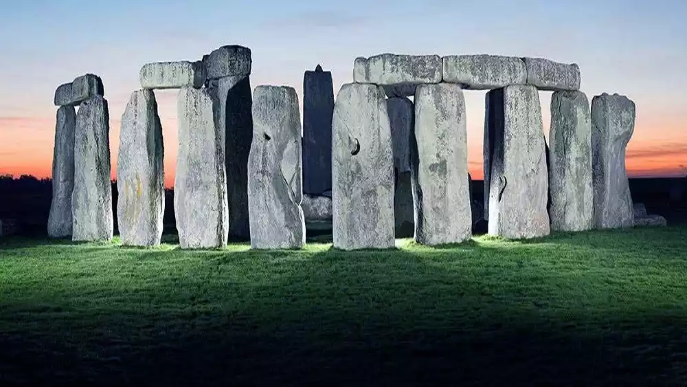
English name: GREAT STONES WAY
Location: Wiltshire, England
Length: 58-85 km
Best time to hike: April to October
3. Jurassic Coast
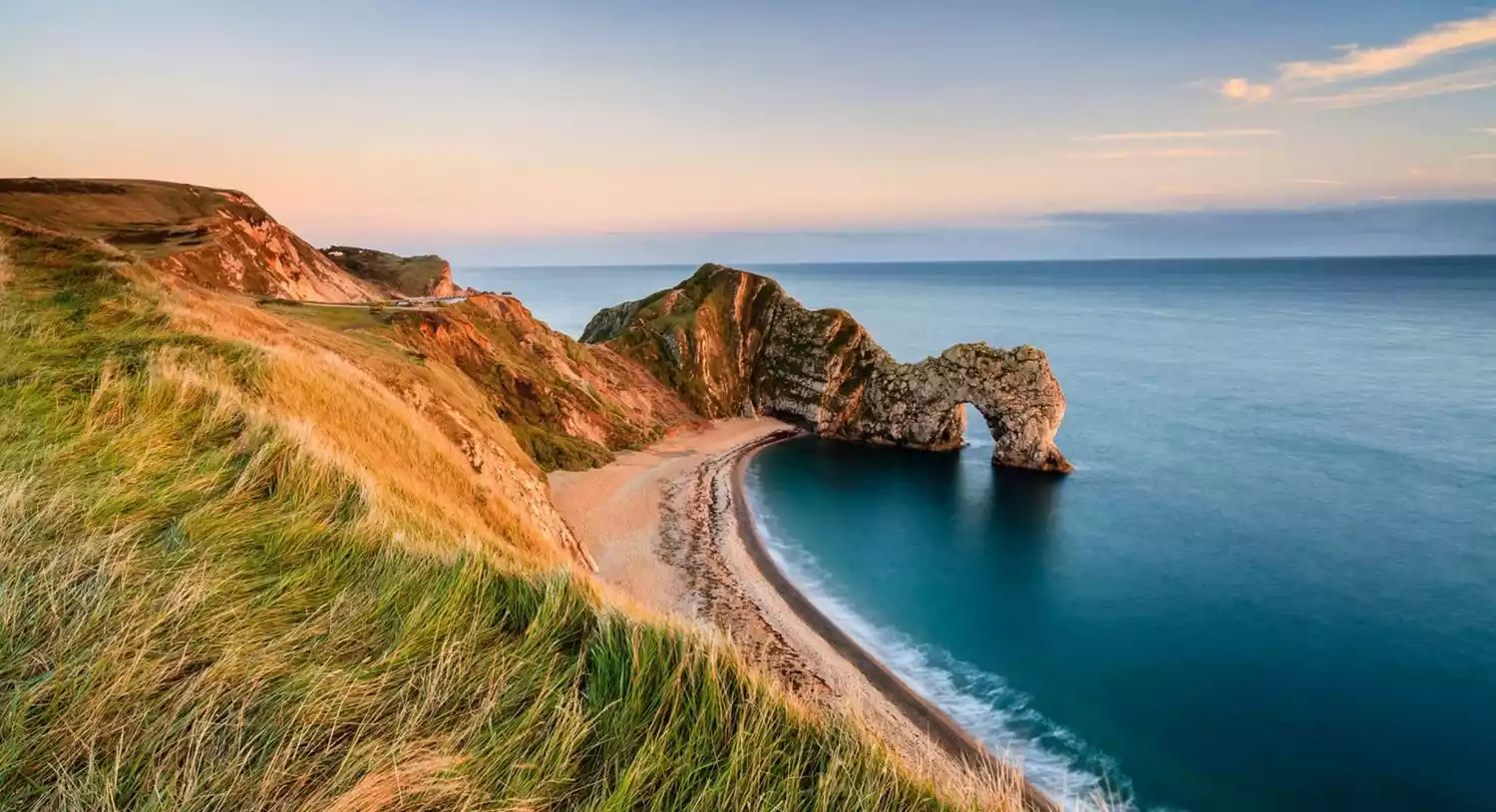 English name: JURASSIC COAST
Location: Devon and Dorset, England
Length: 153 km
Best time for hiking: March-June, September-October
4. Jubilee Pedestrian Trail

English name: JUBILEE WALKWAY
Location: London, Scotland, UK
Length: 24 km
Best time to hike: April to October
5. Offa's Dyke Trail
English name: OFFA'S DYKE PATH
Location: Wales and England, UK
Length: 285 km
Best time to hike: April to October
6. Rob Roy Road
English name: ROB ROY WAY
Location: Southwest Scotland, UK
Length: 124 km
Best time to hike: May to September
7. Southwest Coast Path
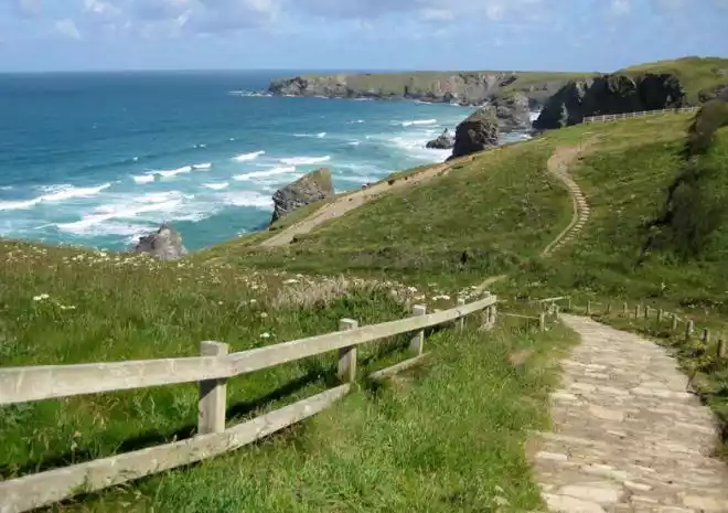
English name: South West Coast Path
Location: Southwest Scotland, UK
Length: 1,014 kilometers
Best time for hiking: April-June, September-October