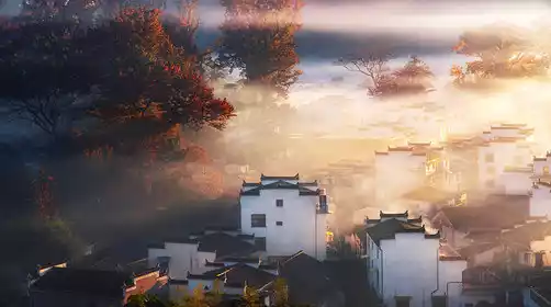
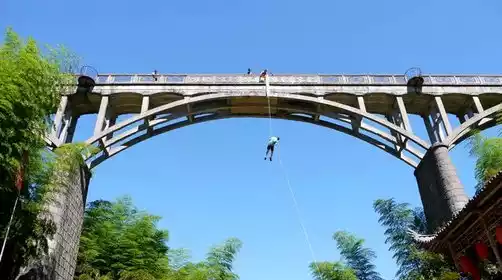
Lesser Khingan Mountains Guide: Where is it? Don't be fooled by the word "small" in the Lesser Khingan Mountains.
Preface
When I heard about the Lesser Khingan Mountains in my studies, I always unconsciously compared it with the Greater Khingan Mountains. "Small" means a bit unremarkable. It lacks the majestic momentum, the endless stretch, and lives in a small corner of the motherland.
I've heard from friends that the Lesser Khingan Mountains offer a "pleasure" for locals: in the scorching summer, you can retreat to the shaded forests; in autumn, you can ride a train across the forested hills; and in spring, you can admire the rime on the riverbank. But for visitors from far away, what is the Lesser Khingan Mountains?
Don't be fooled by the "small" in its name.
Geographical location of Xiaoxing'anling
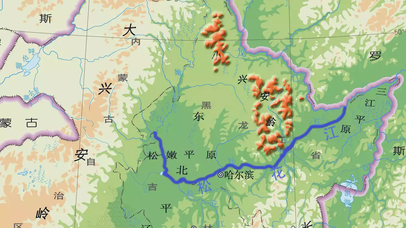
The Lesser Khingan Mountains are surrounded by the Heilongjiang, Songhuajiang, and Nenjiang rivers. It is the watershed between the Heilongjiang and Nenjiang rivers, with the Songhua River flowing slowly along its southern slopes.
Most of the Lesser Khingan Mountains are located in Yichun City and Heihe City. Yichun City is located in the core of the Lesser Khingan Mountains, and Heihe City is dotted on the banks of the Heilongjiang River in the northeast.
Map by @Abei
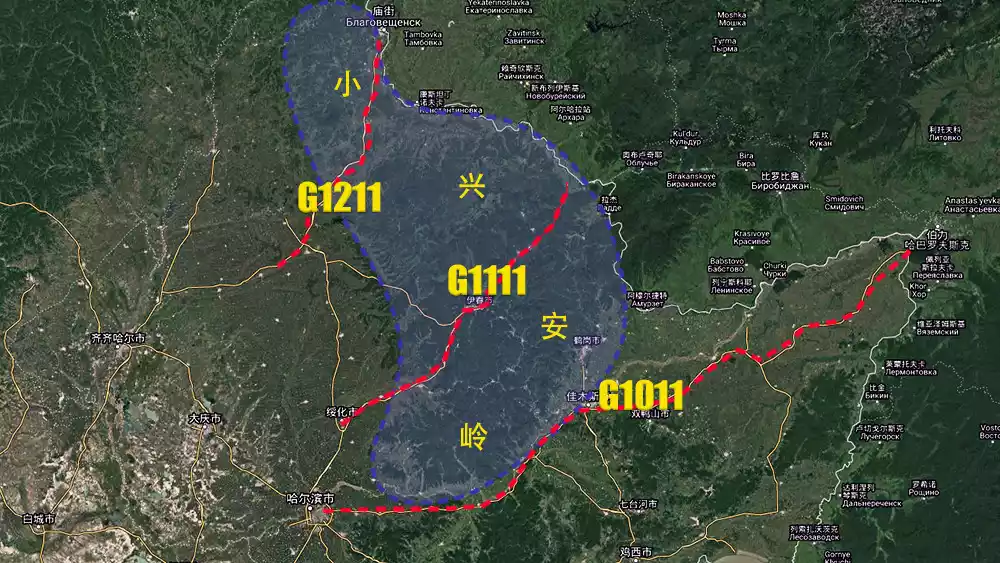
Wudalianchi, Harbin, Jiamusi and Hegang have woven a transportation network in the plain area, forming the "Chuan"-shaped distribution of G1011, G1111 and G1211 highways.
This guide is carried out along three roads, which are divided into the north line, the hinterland and the south line.
[Northern Route] G1211 Wudalianchi-Heihe

Map by @Abei
Starting from Wudalianchi, G1211 passes through the lowlands of the northern Lesser Khingan Mountains. Large fields separate the hills, and it continues eastward to Heihe, where it meets the Heilongjiang River.
Tips:
Driving tips:
The driving distance from Wudalianchi to Heihe is about 280km
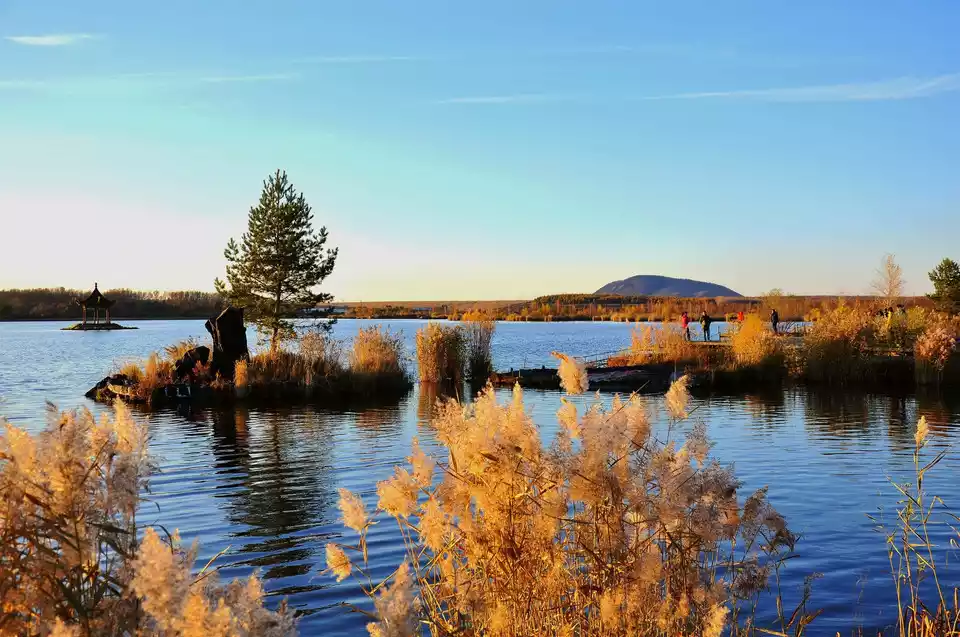
Holy Land of the North——[Wudalianchi]
Wudalianchi Scenic Area is located in the northwest of Heilongjiang Province and the southwest of Heihe City. It is located in the transition zone from the Lesser Khingan Mountains to the Songnen Plain.
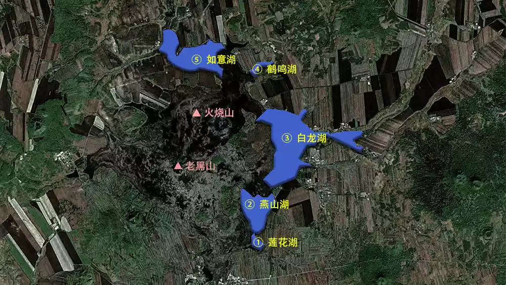
Map by @Abei
Wudalianchi is composed of five interconnected barrier lakes: Lianhua Lake (Pool 1), Yanshan Lake (Pool 2), Bailong Lake (Pool 3), Heming Lake (Pool 4), and Ruyi Lake (Pool 5). They are like five pearls, extremely unique.
Here you can find complete volcanic cones, magnificent lava landforms, unique natural ecology, and the famous holy springs.
(Pictures from the Internet)
Active geological movements have shaped the landscape of Wudalianchi, which has gradually developed into a health resort.
Tips:
Recommended walk:
One day at Laohei Mountain + South/North Drinking Spring (choose one) + Wenbo is enough!
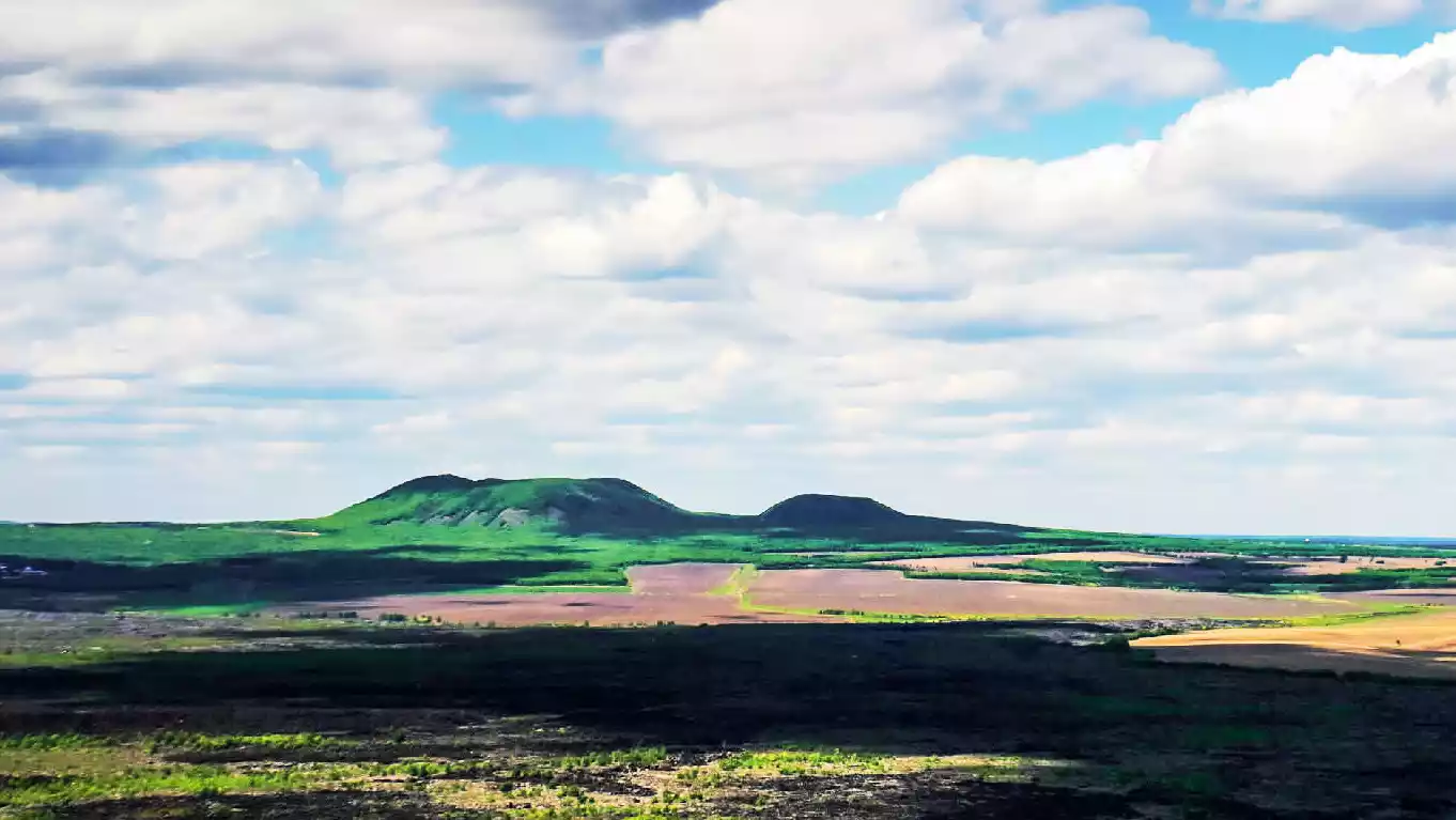
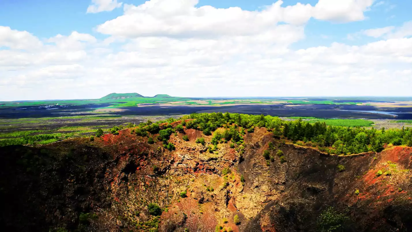
—— Laoheishan ——
Laohei Mountain, also known as Black Dragon Mountain, has erupted six times. Its name comes from its shape, which resembles a black dragon and whose dark sheen cannot be concealed by the green vegetation and white snow.
(Pictures from the Internet)
In the 58th year of the reign of Emperor Kangxi (1719), it was recorded that in the southeast of Moergen (now Nenjiang), fire suddenly appeared in the ground, rocks flew into the air, and the sound shook the whole area.
Laohei Mountain erupted. A year later, Huoshao Mountain erupted, and the Baihe River on the east side was blocked by lava, forming Wudalianchi.
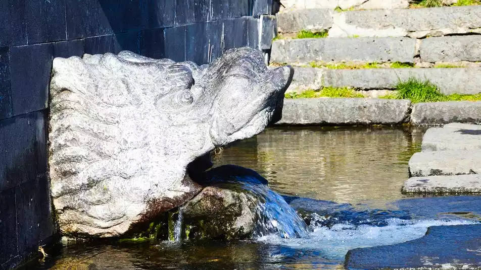
—— Drinking Spring ——
According to legend, a Daur hunter shot a sika deer on the fifth day of the fifth lunar month. The deer waded through this spring, recovered from its wounds, and fled away, escaping the disaster. Therefore, the Changbai Mountain drinking spring is also known as the "divine spring" or "medicinal spring."
(Pictures from the Internet)
Wudalianchi's drinking spring is one of the world's three most famous springs. The cold mineral spring is rich in carbonates and divalent iron ions. They say the magic of drinking spring water can't be taken away, so don't miss out!
—— Wenbo ——
"Wenbo" is a string of pearls on the beautiful Shilong River and a bonsai-style volcanic wonder.
The magic of Wenbo is that it “does not freeze”. Even in the winter when the temperature is dozens of degrees below zero, Wenbo is still sparkling, which is the most amazing thing.
(Pictures from the Internet)
Go to the "Little Jiuzhaigou of Volcano" to see the amazing sight of "silk rising from the blue sky". The wetland trails are also great for taking photos and strolling.
Tips:
Address: Wudalianchi City, Heilongjiang Province
Opening hours: 6:00-18:30 in peak season, 8:00-17:00 in off-season
Best time to visit: Summer
Recommended play time: 1 day
Tickets (partial reference): Heilongshan 80 yuan; Wenbo 50 yuan; Beiyaoquan 30 yuan; Nanyaoquan 20 yuan;
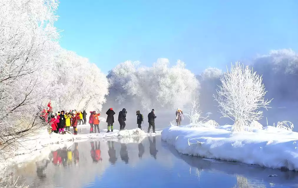
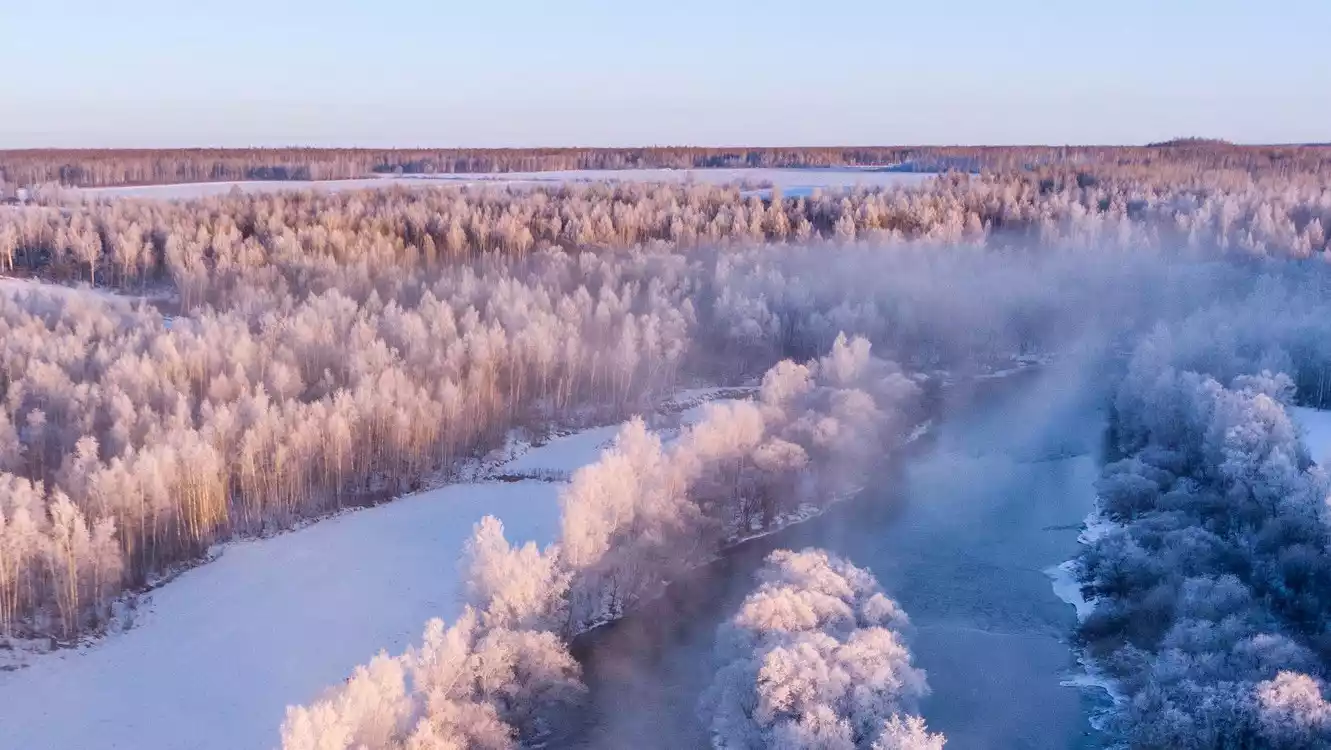
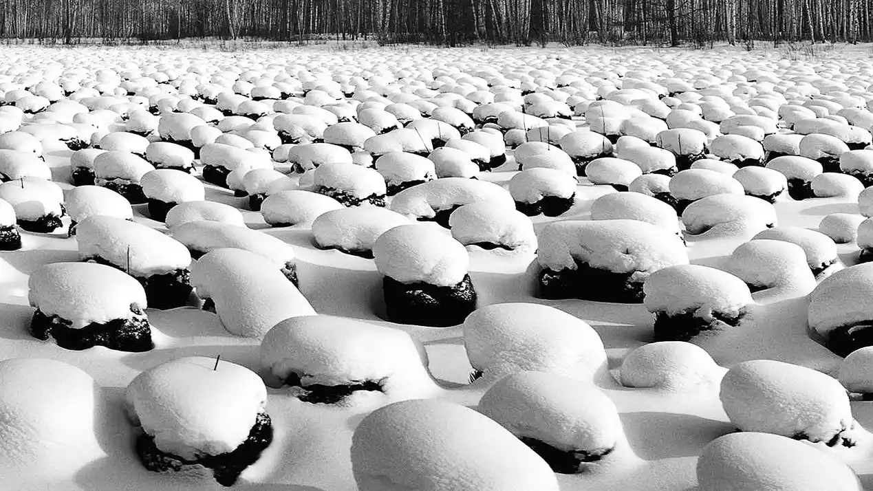
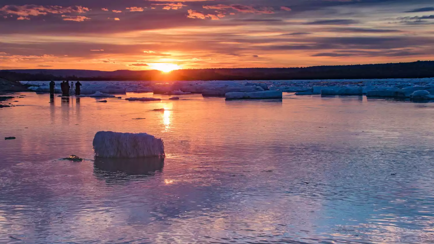
Fairyland Rime——[Kulbin]
Rime is neither ice nor snow; its formation requires both low temperatures and abundant moisture, two conditions that are extremely difficult to achieve simultaneously, making the rime landscape extremely rare.
(Pictures from the Internet)
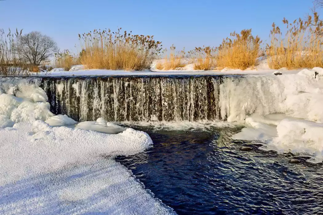
In Kulbin, you can overlook the rime from the nearby high ground.
Due to the year-round operation of the hydropower station, the river does not freeze all year round, forming a spectacular sight of rime covering more than ten miles on both sides of the river.
(Pictures from the Internet)
Stop by the Red Star Geopark and you can see the "snow mushroom" landscape in the snow-covered East Pole.
(Pictures from the Internet)
Tips:
Address: North of Mars Geological Park, Yichun City
Best time to visit: December to March of the following year, the best viewing time is 7:00-10:00
Reference play time: 1 hour
Admission: Free
The starting point of Hu Huanyong's population line——Heihe
You've probably learned about the "Hu Huanyong Line," a line drawn by geographers to delineate population density. It's also known as the "Heihe-Tengchong Line."
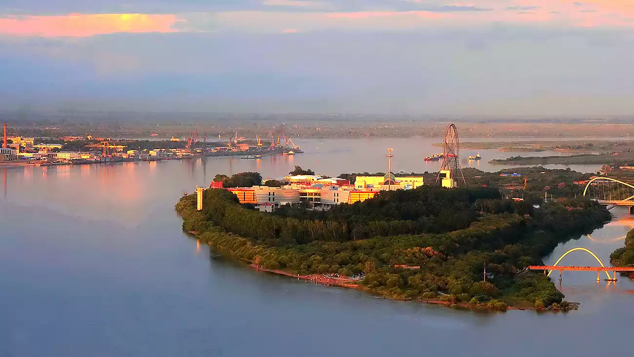
(Pictures from the Internet)
Heihe is where the Treaty of Aihui was signed. You can also go to Blagoveshchensk (Bulawayo) to experience Russian life for a day.
[Hinterland] G1111-S204 Suihua-Yichun-Jiayin
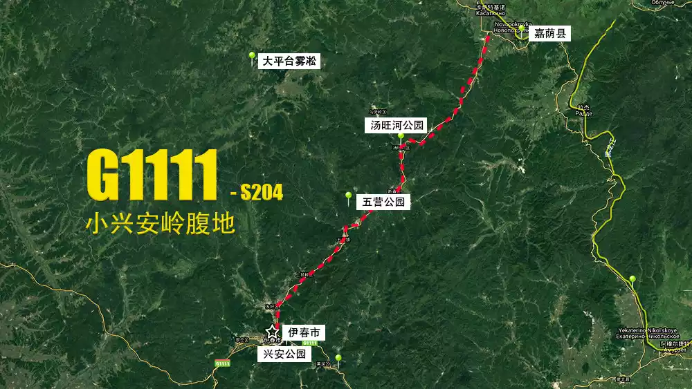
Map by @Abei
G1111 and S204 go deep into the hinterland of Lesser Khingan Mountains, with Yichun as the core, and many forest parks are located around it.
Tips:
Driving tips:
The driving distance from Suihua to Yichun is about 200km; the driving distance from Yichun to Jiayin is about 200km.
Home of Korean Pine——[Wuying National Forest Park]
Korean pine is grown in abundance on the east coast of the Eurasian Highway. The Korean pine virgin forest in Wuying is extremely large and is the best in Asia. It is known as the hometown of Korean pine.
(Pictures from the Internet)
When you enter the scenic area, you can see the "Shaoqi Train" that Liu Shaoqi once took.
(Photo by @young)
The King of Red Pine is hidden in the dense forest. It is nearly 800 years old and took root in the Southern Song Dynasty.
(Photo by @young)
There is also the secret Tianci Lake, where the forest ends and the water source appears suddenly open.
Tips:
Address: Wuying Town, Yichun City
Opening hours: 8:00-15:00
Best time to visit: Summer for summer vacation, autumn for the colorful forest
Reference play time: 4 hours
Ticket price: 60 yuan; transportation to the scenic area and Wupeng boats in the lake area are charged extra
A Secret Town - Yichun Xing'an Forest Park
Roll down the car window and smell the fresh and fragrant forest air, you have arrived in Yichun.
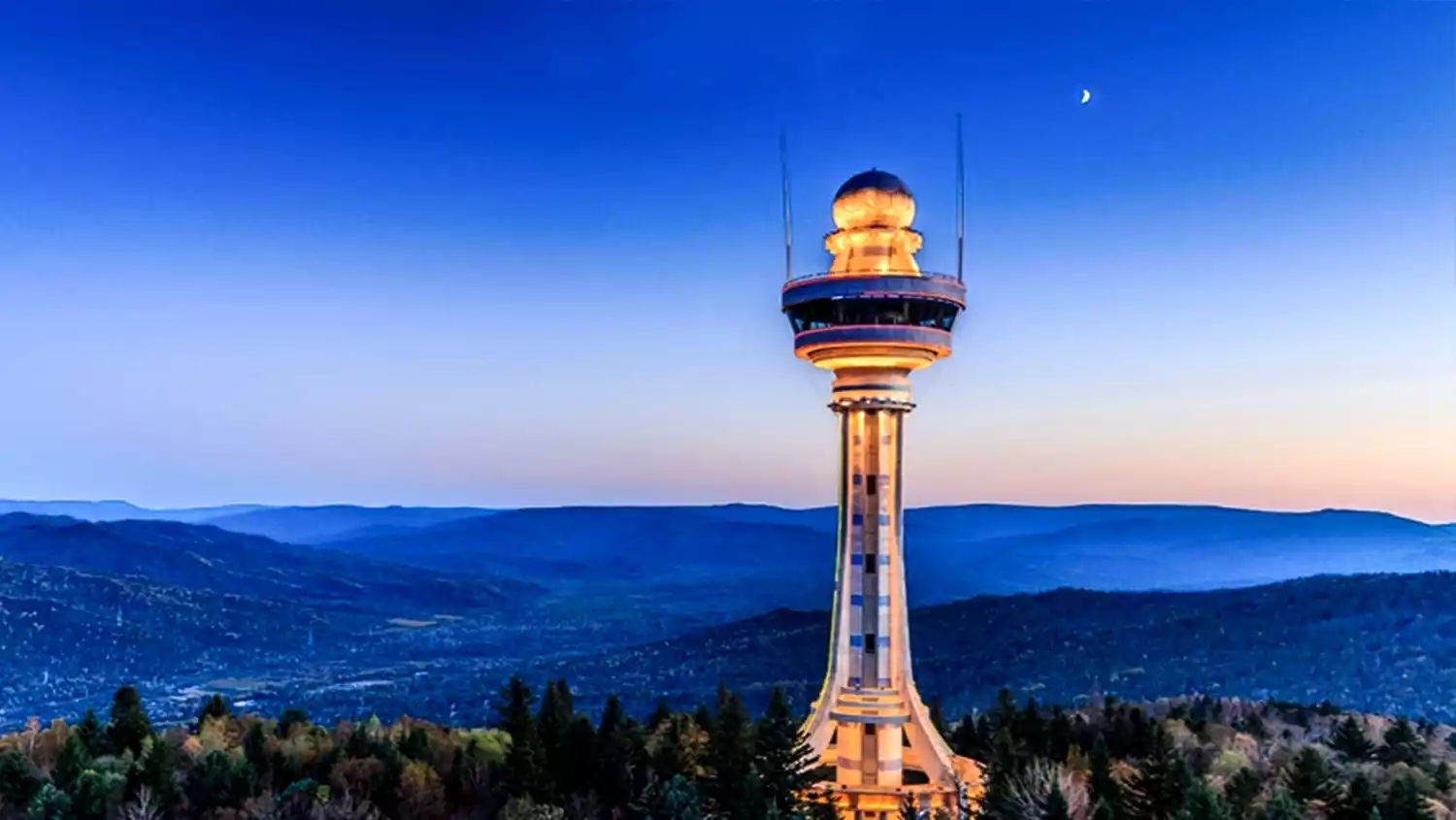
Xing'an Forest is located in the northeast corner of the city. From the top of the mountain, you can see the entire Yichun area.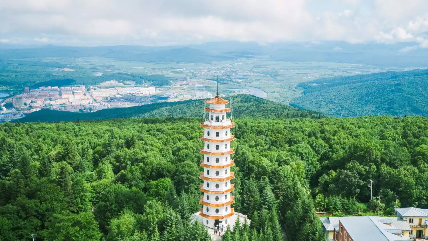
(Photo by @young)
The Xing'an Pagoda and observation tower on the top of the mountain are majestic and magnificent.
Tips:
Address: Tongshan Road, Yichun District, Yichun City
Opening hours: 7:00-18:00
Best time to visit: Summer to escape the heat, autumn to see the colorful forest
Recommended playing time: 2 hours
Admission: Free; additional fees apply for the Xing'an Pagoda (old tower) and the Observation Tower (new tower) on the top of the mountain
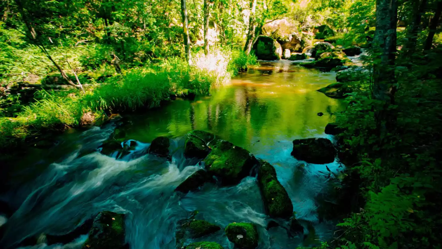
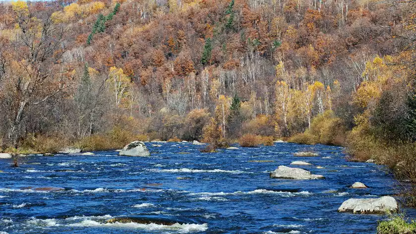
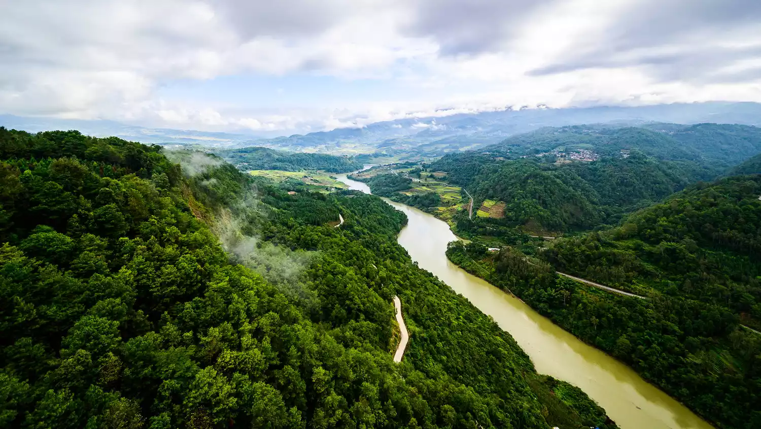
Strange rocks stand out—[Tangwang River National Forest Park]
The Tangwang River, a tributary of the Songhua River, is known as the first river on the north bank. Over a hundred granite rocks form a unique landscape called the Stone Forest.

(Pictures from the Internet)
Trees grow on rocks, and rocks hide in the forest. In Tangwang River National Forest Park, you'll occasionally encounter jagged rocks.
(Pictures from the Internet)
Tips:
Address: Tangwanghe District, Yichun City
Opening hours: 8:00-17:00
Best time to visit: Summer for summer vacation, autumn for the colorful forest
Reference play time: 4 hours
Tickets: 90 yuan for adults, 50 yuan for students (including transportation to the scenic area)
If you haven't had enough, head to Xinqing National Wetland Park, home to the Hooded Crane, which migrates here from April to May. Take a stroll through Shangganling Stream National Forest Park, where the autumnal beauty of trees and the ethnic garden with its rich Russian charm complement each other, offering a unique blend of culture and nature.
[Southern Route] G1011 Harbin-Jiamusi-Longjiang Three Gorges
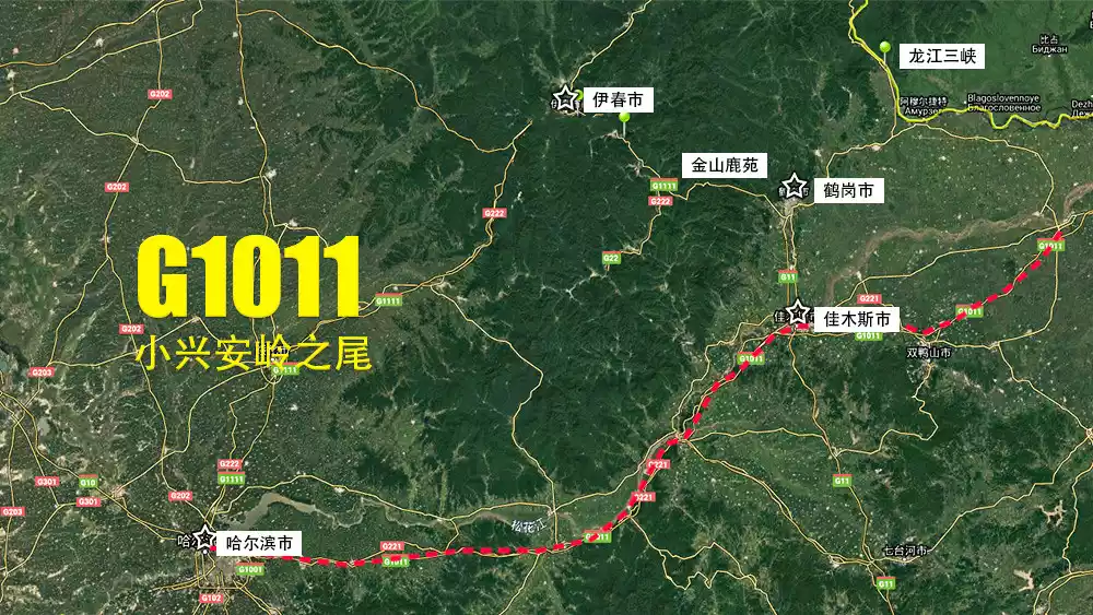
Map by @Abei
G1011 runs parallel to the Songhua River eastward, passing Jiamusi and Hegang, and then to Fuyuan. South of the Songhua River is the Changbai Mountain area.
Tips:
Driving tips:
The driving distance from Harbin to Jiamusi is about 400km; the driving distance from Jiamusi to Longjiang Three Gorges is about 150km.
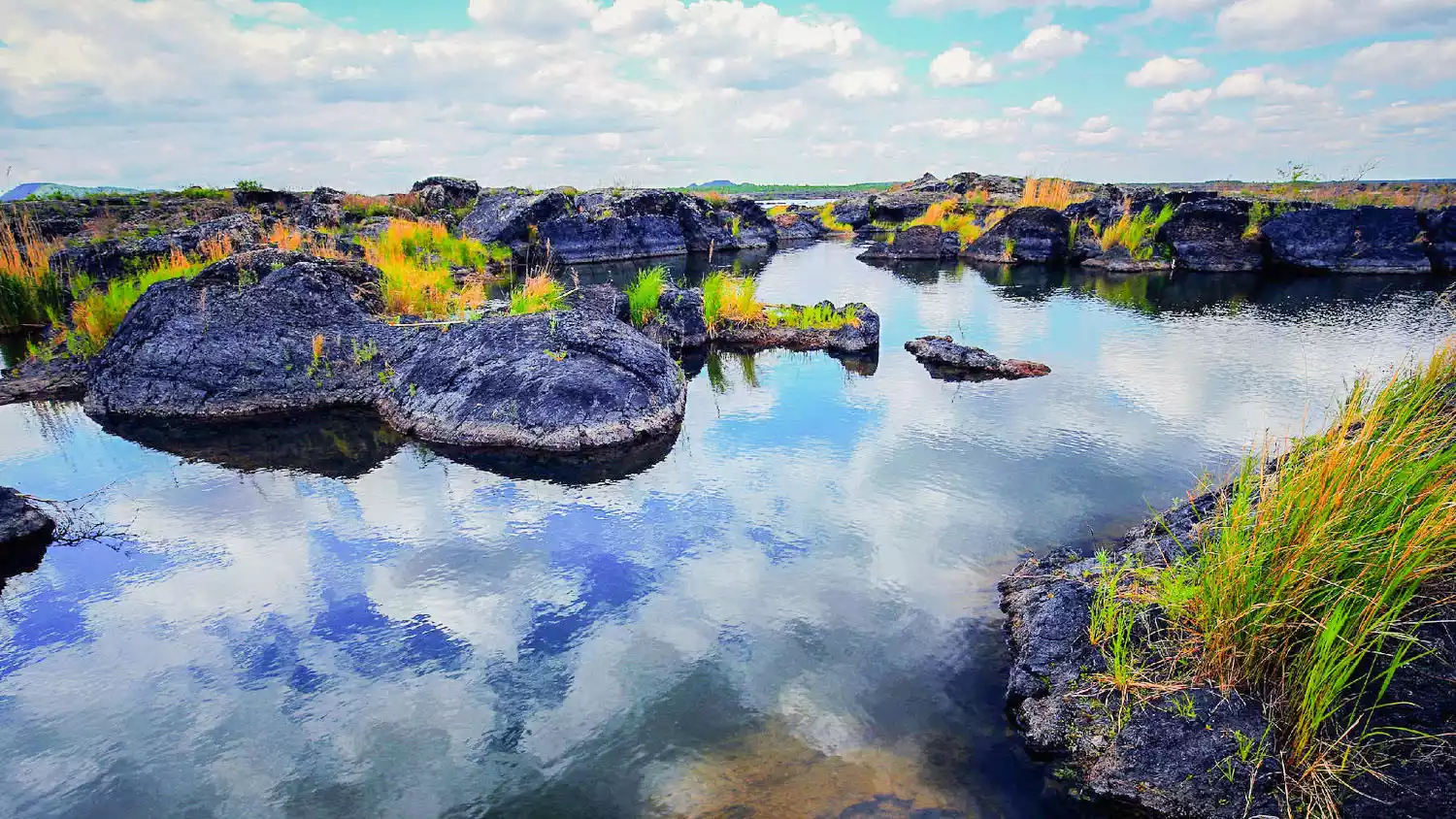
Hidden Dragon in the Deep Valley——[Longjiang Three Gorges]
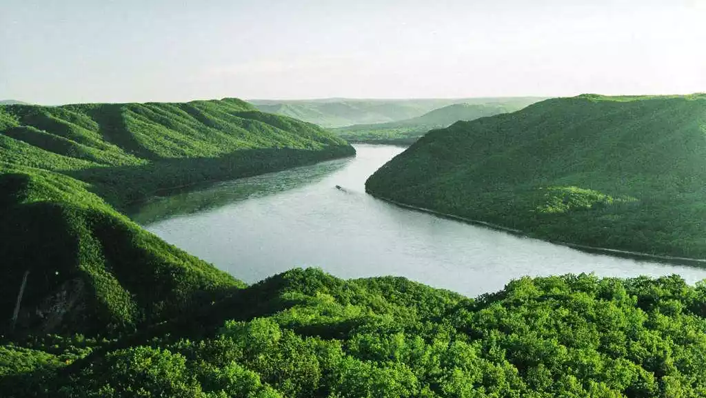
(Pictures from the Internet)
The Heilongjiang Three Gorges, located at the junction of the Lesser Khingan Mountains and the Sanjiang Plain, was once voted "the most beautiful place in Heilongjiang" by China National Geographic.
(Pictures from the Internet)
The Three Gorges of the Heilongjiang River are Longmen Gorge, Jinlong Gorge, and Jinman Gorge. A boat trip upstream is recommended.
Tips:
Address: Luobei County, Hegang City
Opening hours: All day
Best time to visit: Summer to escape the heat, autumn to cool down
Reference play time: 3 hours
Ticket price: 20 yuan, additional fee for boat ride
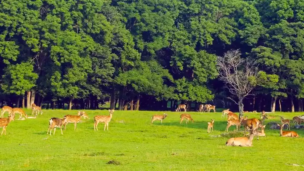
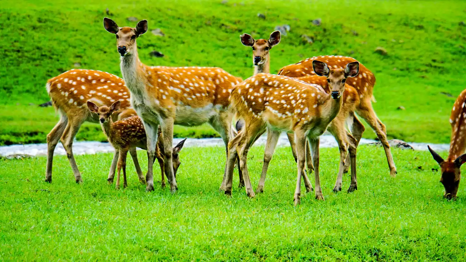
Deer Calling——[Jinshan Deer Park]
After seeing too much beautiful scenery, you also need to change your mood.
(Pictures from the Internet)
Surrounded by mountains and crisscrossed by streams, Jinshan Deer Park is a free-range deer park home to sika deer and Tianshan red deer.
(Pictures from the Internet)
Tips:
Address: Jinshantun District, Yichun City
Opening hours: 7:30-17:00
Best time to visit: Summer (sika deer's spots darken after June) Winter
Reference play time: 1 hour
Ticket price: 25 yuan
Gameplay
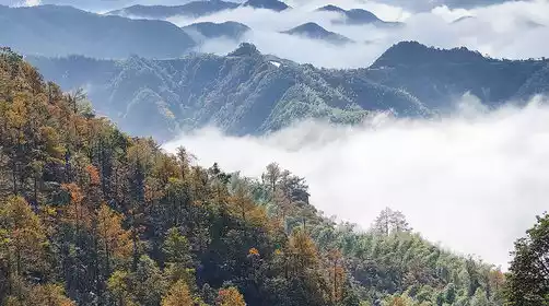
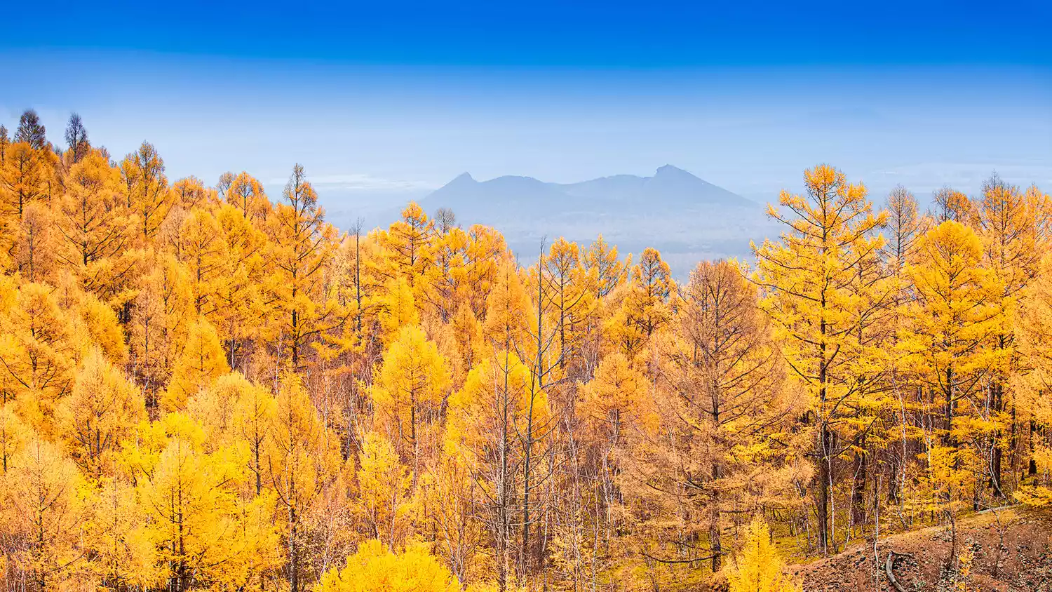
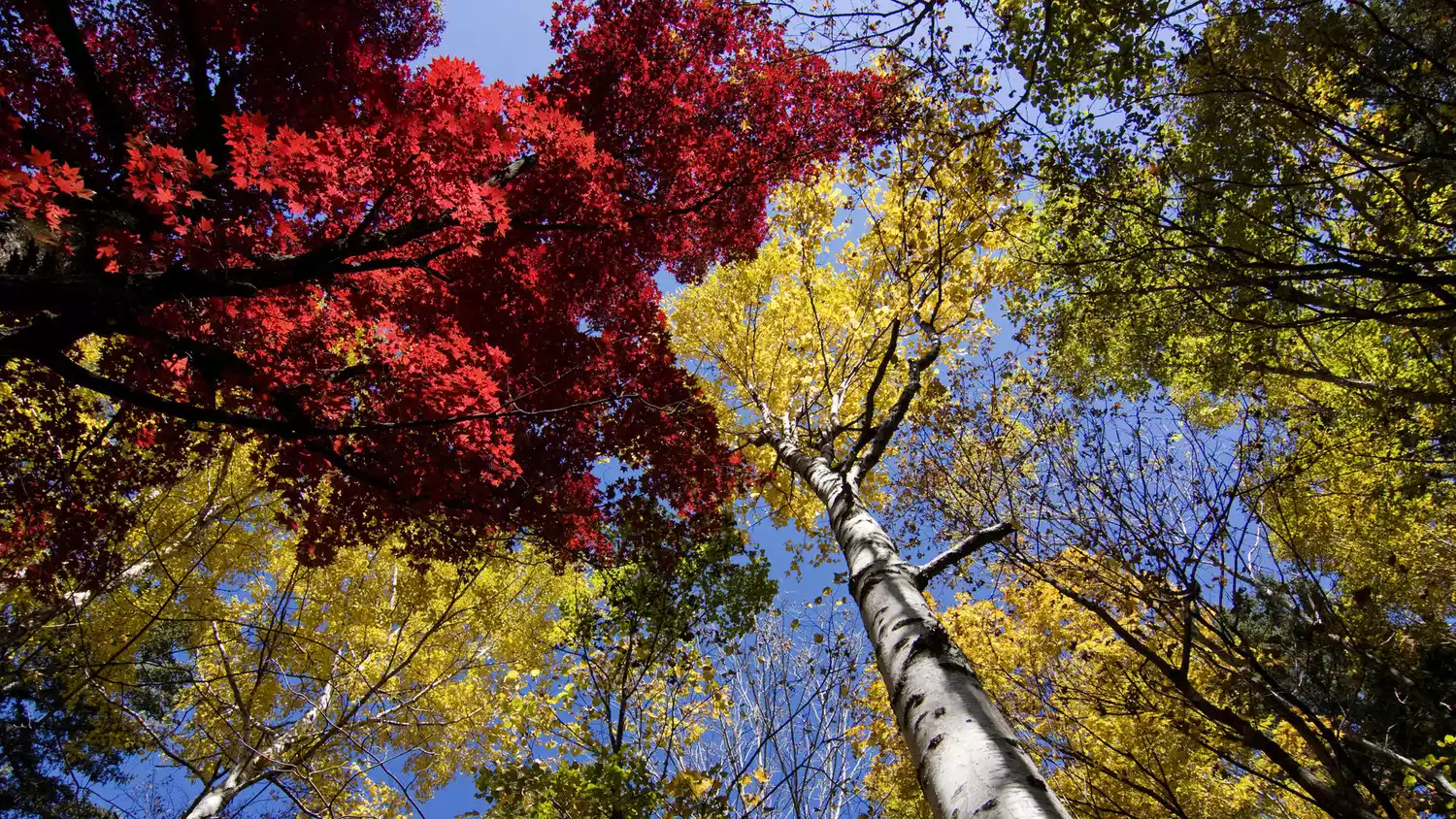
autumn
Overturned color palette
(Pictures from the Internet)
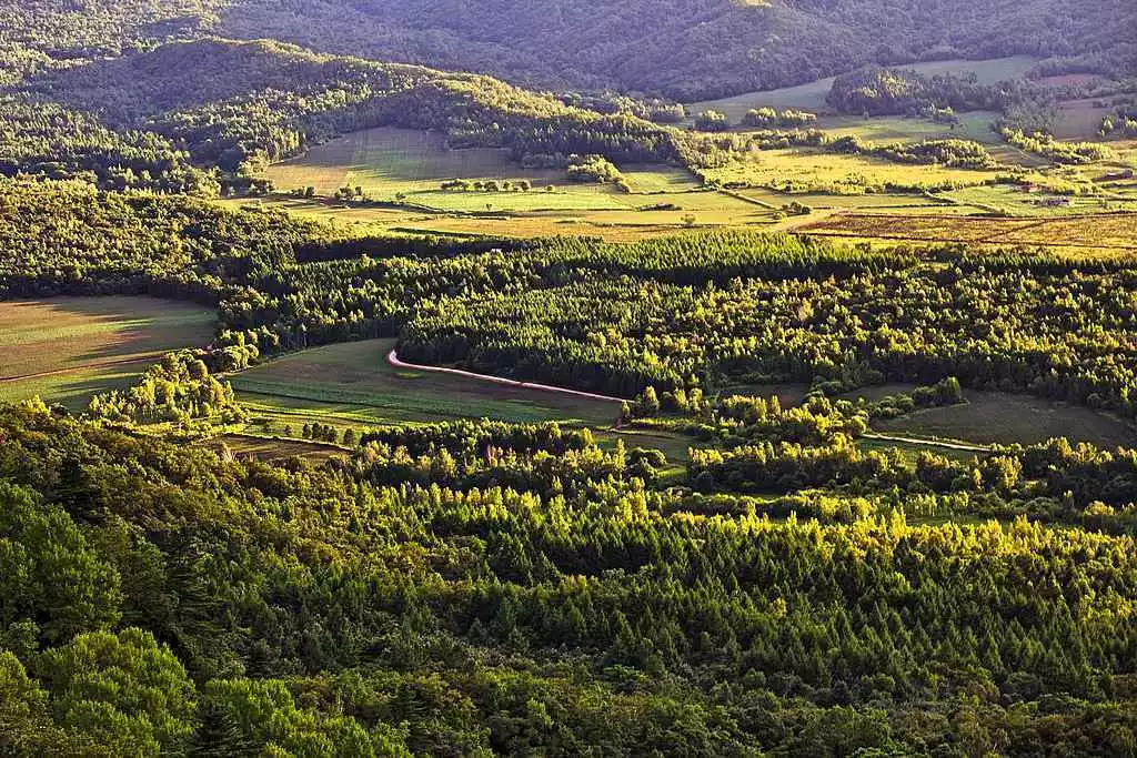
Enjoying the autumn scenery is the preferred way to visit Lesser Khingan Mountains. You can find a vantage point to overlook the colorful mountains, stroll through the forest and listen to the gurgling stream.
(Pictures from the Internet)
"The most beautiful scenery is on the road", shoot a road blockbuster.
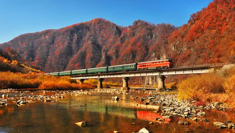
(Photo by @王嵬)
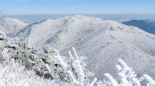
winter
Soak in hot springs
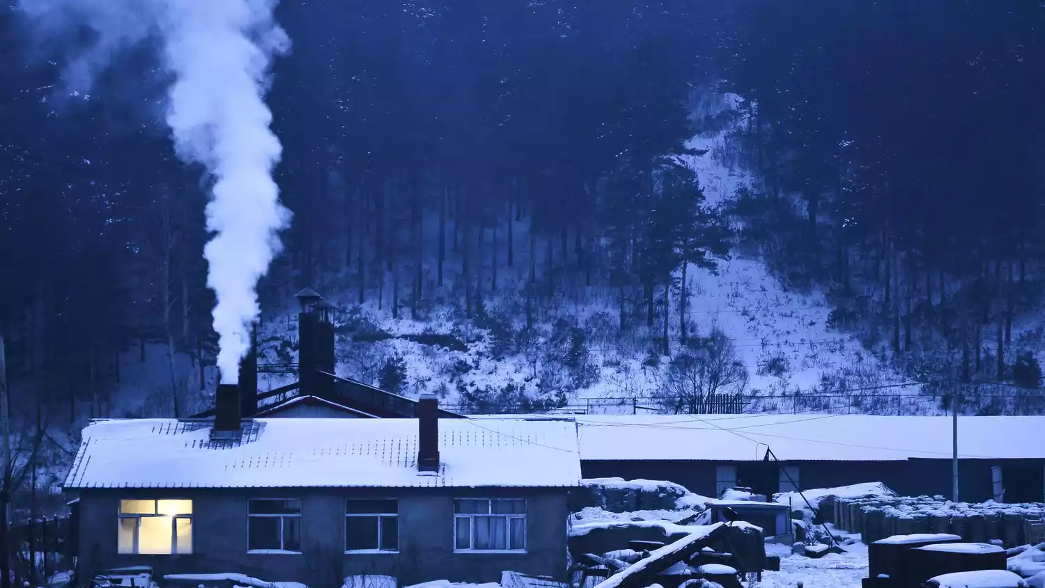
Snow hot springs are the calling card of Northeast China. The snow hot springs in Lesser Khingan Mountains are unique in combination with the forest landscape.
spring
View Kaijiang
Kaijiang River is divided into Wenkai River and Wukai River. The Wenkai River is where the ice gradually melts, while the Wukai River is where the ice breaks overnight. In 2020, the Jiamusi section of the Songhua River opened on April 11th.
summer
Stay at the forest farm
Forest farm vacations are gradually becoming popular and are called a new form of leisure in Lesser Khingan Mountains.
gourmet food
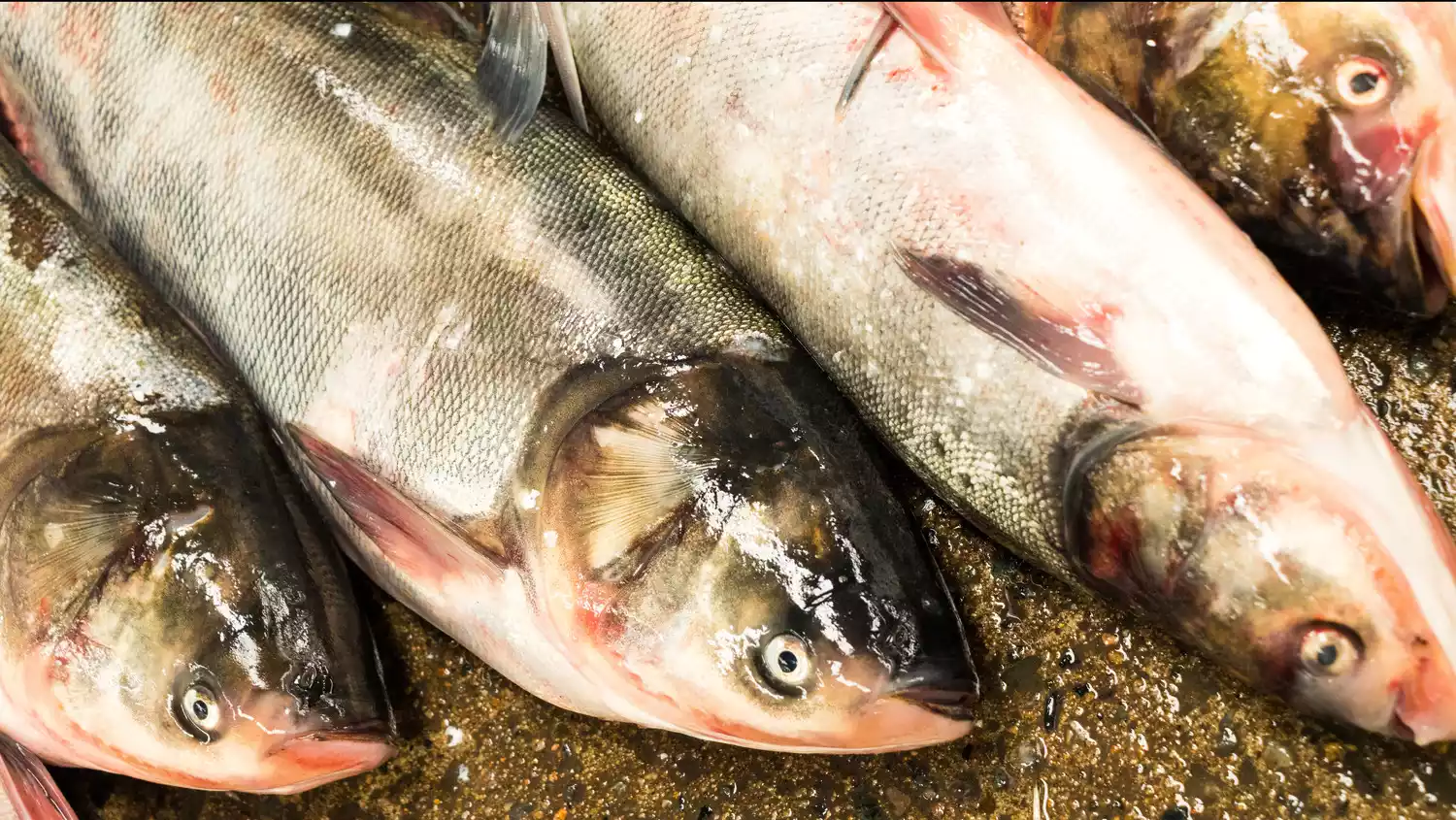
Jiayin's Freshness
(Pictures from the Internet)
Pollution-free, pure wild freshwater river fish. After a winter of starvation, the fish have lost all their fat, their meat is firm and exceptionally delicious.
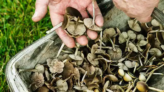
Yichun's Wild
(Pictures from the Internet)
Yichun's food is very "wild." Persimmons, jujubes, pine nuts, and hazelnuts are very popular among locals.
The authenticity of Northeastern cuisine

(Pictures from the Internet)
Yichun's Northeastern cuisine is very delicious. There's a Sanba Restaurant in Yichun, where their sweet and sour pork is very popular.
Why come to Lesser Khingan Mountains?
For better breathing
The Third Forestry Division was the original pioneer of the Lesser Khingan Mountains forest area, spending their youth to build Yichun.
Yichun is the heart of Lesser Khingan Mountains. When New China built it, one-fifth of the forest timber came from Yichun.
At present, the Lesser Khingan Mountains are moving towards the development path of "deep travel and deep breathing".
In 2011, Yichun stopped logging, and commercial logging stopped in 2013. Over the past decade, the Lesser Khingan Mountains have fully restored their natural beauty and developed ecotourism.
Choose to be isolated and independent
The forests of Lesser Khingan Mountains have a sense of isolation from the world.
The autumn colors rival those of the Greater Khingan Mountains, and are no less stunning than the rime on the large platform of Rime Island...
Lesser Khingan Mountains has not been overly commercialized and has maintained its simplicity and beauty.
Travel Tips
transportation
Generally, the departure point is Harbin. There are direct flights to Harbin from all major cities in my country.
equipment
When traveling in winter, in addition to the common cotton coat, it is also recommended to bring a pair of snow boots and snow gaiters. The snow in the Northeast forest area is thick, which can effectively prevent snow from entering the shoes.
When traveling in summer, it is recommended to take good sun protection measures and do not underestimate the intensity of ultraviolet rays in the forest area.
Conclusion
Located at the northernmost tip of China, Northeast China is known as a summer resort and the country's earliest autumn! Changbai Mountain, Mohe River, and the Red Sea Beach are among Northeast China's three major tourist destinations! Our motherland boasts magnificent landscapes, including the Baishan and Heishui Rivers, the Sanjiang and Songnen Plains, and countless other poetic and distant destinations! We look forward to welcoming you to the Northeast!
[Statement] We are committed to protecting the content of every original creator, but because some pictures and texts come from various channels such as the Internet, we cannot trace the author. If there is any infringement, please contact us to delete it.