An inventory of China's mountains: 10 super mountains that support the majesty of China. How many of them have you seen?
Preface
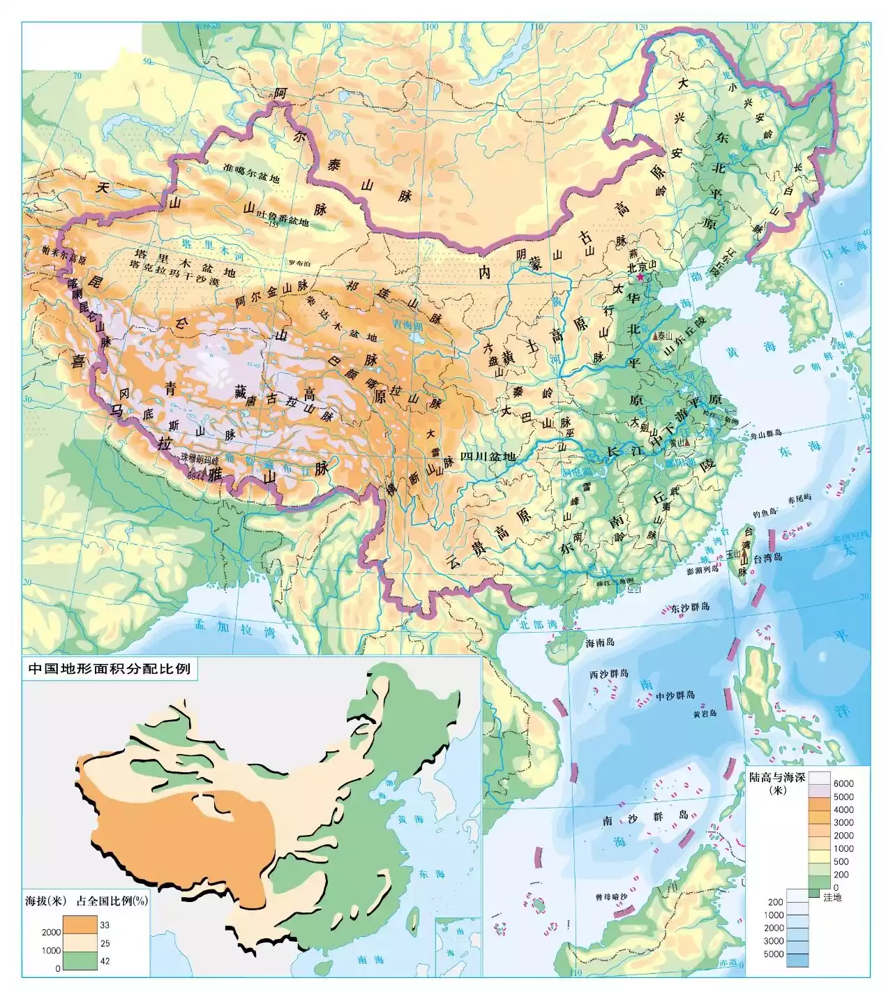
China
Land area of approximately 9.6 million square kilometers
The water area is about 4.7 million square kilometers
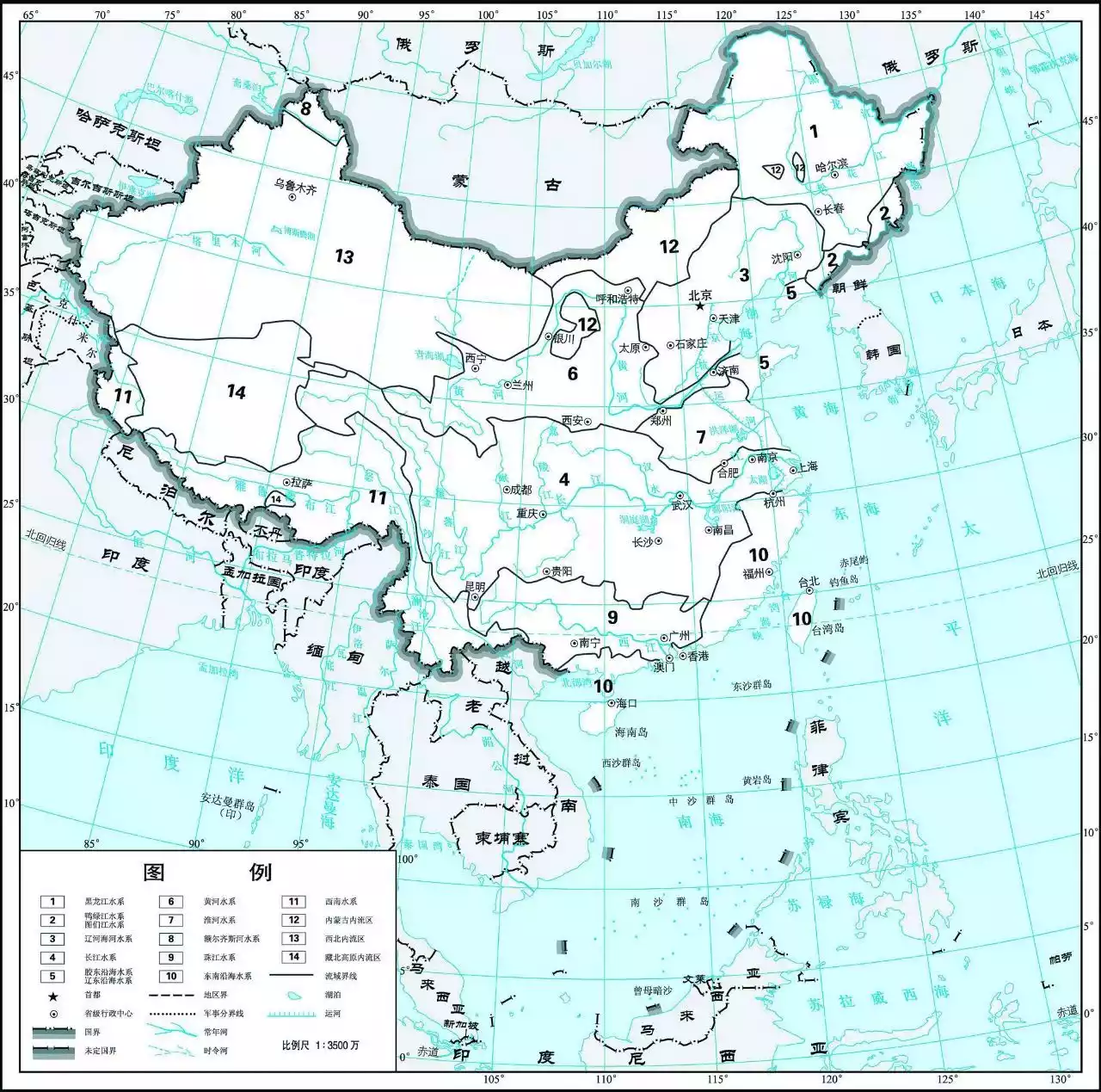
Map of China's major river systems
There are more than 50,000 rivers with a drainage area of more than 100 square kilometers.
More than 24,800 lakes
116 major mountain ranges
Our motherland
The mountains are vast and the rivers are surging
Let’s take a look today
The motherland's towering and well-known figures
Super Mountain
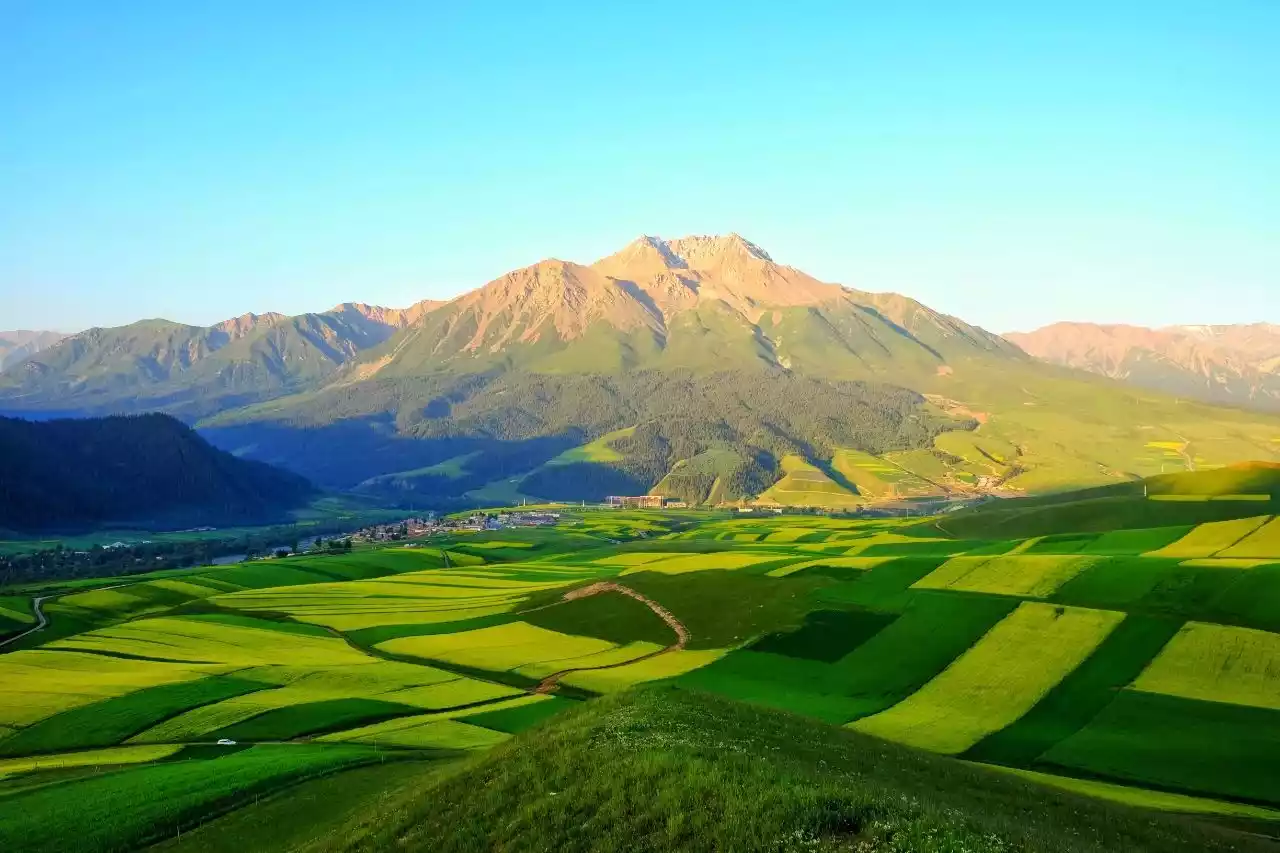
1. The Backbone of the World—Taihang Mountains
Located in the central part of China's geographical territory, the Taihang Mountains, with their steep peaks, span four provinces: Beijing, Shanxi, Hebei, and Henan, extending from the land of Youyan to the banks of the Yellow River, are known as the "Eight Hundred Li Taihang".
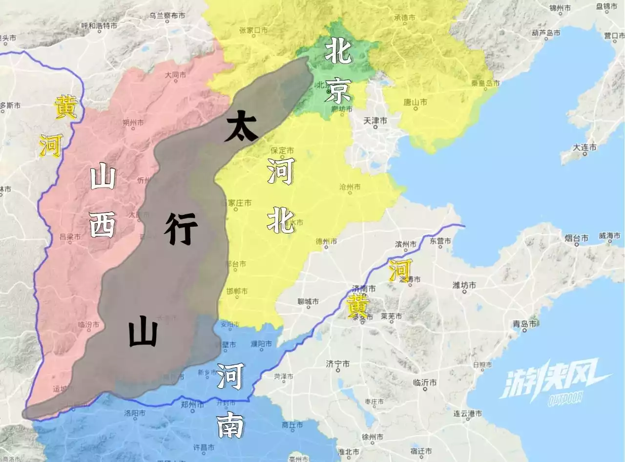
Geographical location of Taihang Mountain, drawn by @Qitian
It stands side by side with other mountains, forming the transition zone between the second and third terraces of China's terrain. It also single-handedly divides the Loess Plateau and the North China Plain, and is truly worthy of the title of the backbone of the world.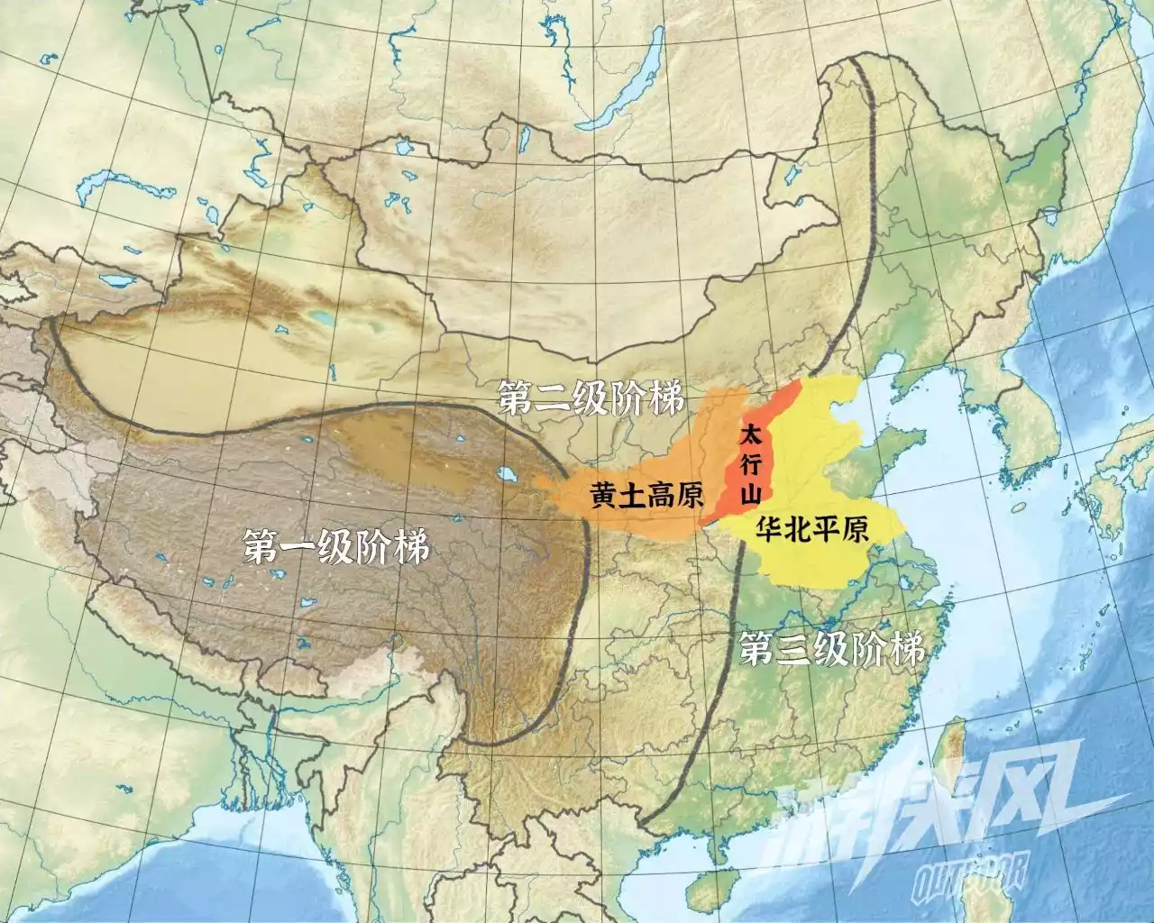
The position of Taihang Mountain in the terraced division, map by @Qitian
It was born in the central part of China's oldest North China Platform. After many changes in the world, rock layers of various properties have been deposited on the platform.
Inside the platform, vertical ups and downs are accompanied by folding and fracture of the strata, and the metamorphosis of the sedimentary rock layers. As a result, the Taihang Mountains have become a "thousand-layer cake" with different "fillings".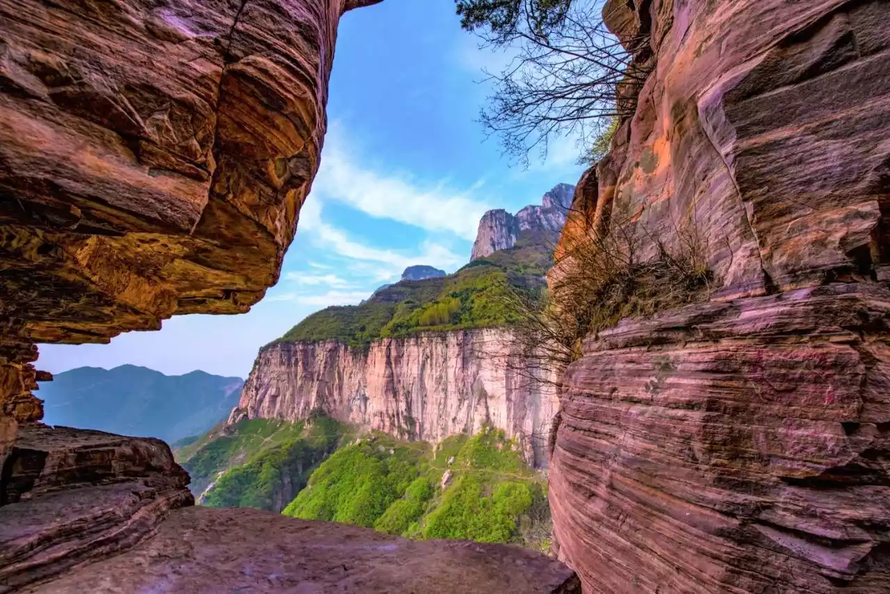
The Yanshan Movement and the Himalayan Movement caused the west side of Taihang Mountain to rise strongly, while the east side of Taihang Mountain suffered from tension and subsidence.
The asymmetrical rise and fall in the east and west have created the "big steps" separating the plains and plateaus, as well as vertical cliffs with huge drops and unfathomable steep canyons that can be seen everywhere.
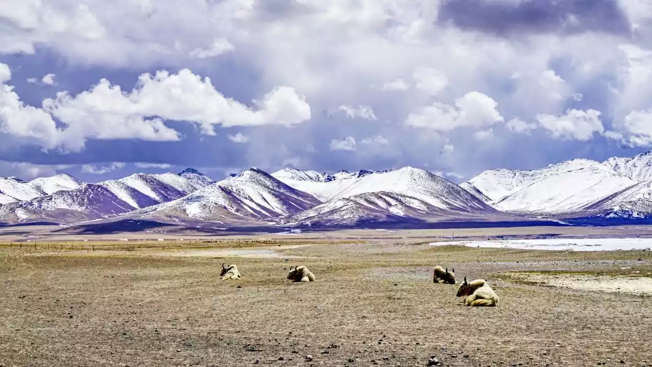
4. Kunlun Mountains, the Grandmaster of All Mountains
@Mo青
The Kunlun Mountains, stretching from the eastern Pamir Plateau in the west to Xinjiang and Tibet and into Qinghai, are approximately 2,500 kilometers long, with an average elevation of 5,500-6,000 meters.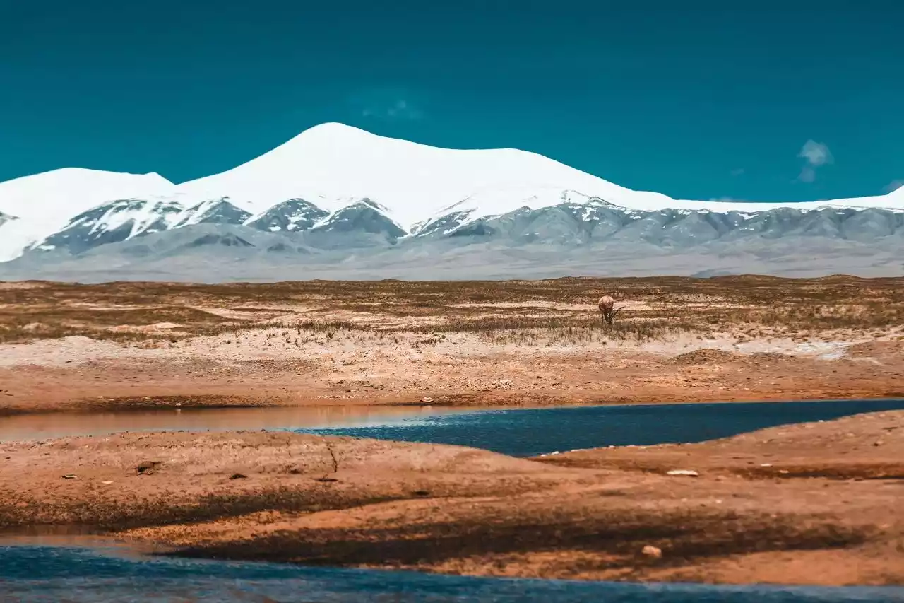
Tibetan antelope@Moqing
Kunlun Mountain has the prominent status of "the ancestor of all mountains". Many myths and legends handed down from ancient times are related to Kunlun Mountain. It is considered to be the birthplace of the descendants of Yan and Huang.
"Ascend Kunlun and eat jade essence, live as long as the heaven and earth, and shine as brightly as the sun and the moon." Nuwa mended the sky, Jingwei filled the sea, and Queen Mother of the West held the Peach Festival. Kunlun is a mountain that lives in legends.

The Kunlun Mountains are high in the west and low in the east. The eastern section is east of the Kunlun Pass, and the western section is west of Qiongmuztag. There are three peaks with an altitude of more than 7,000 meters, 19 peaks with an altitude of more than 6,000 meters, and 8 peaks with an altitude of more than 5,000 meters.
Muztagh Ata Peak
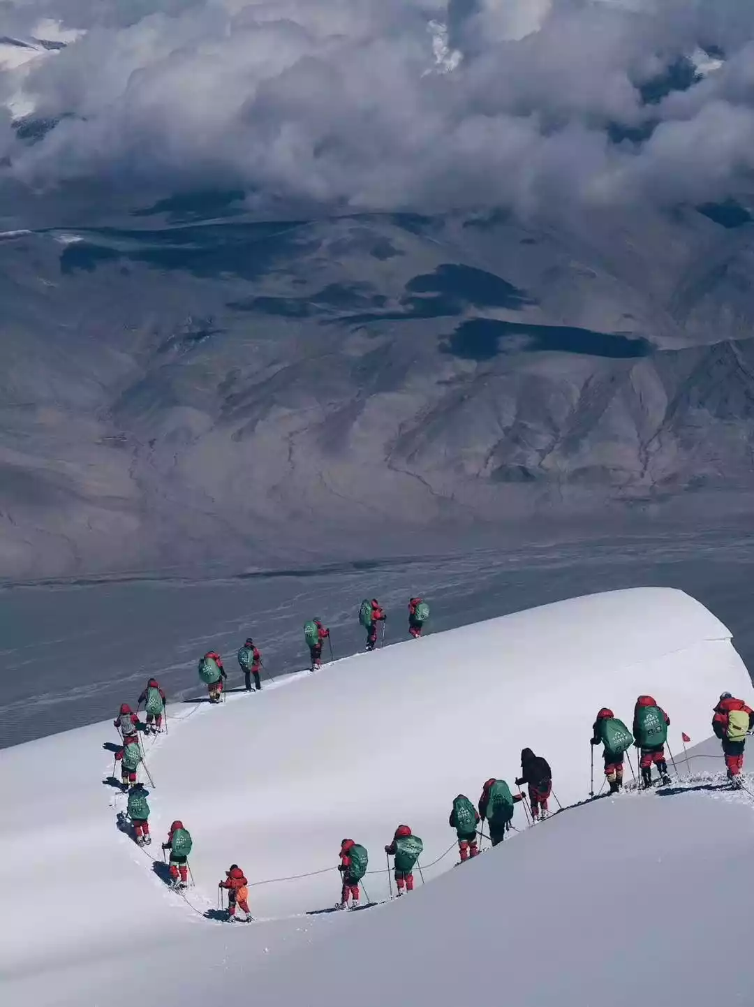
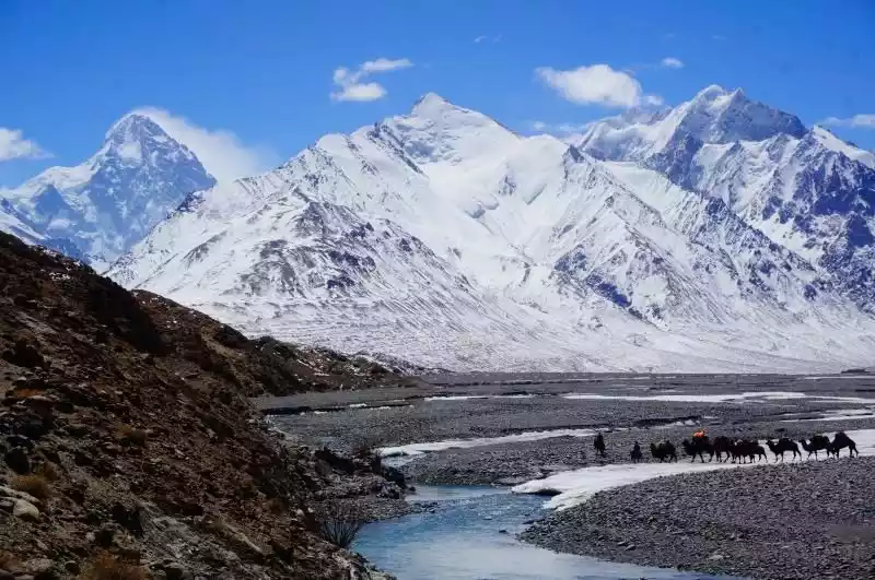
5. Berserker – Karakoram Mountains
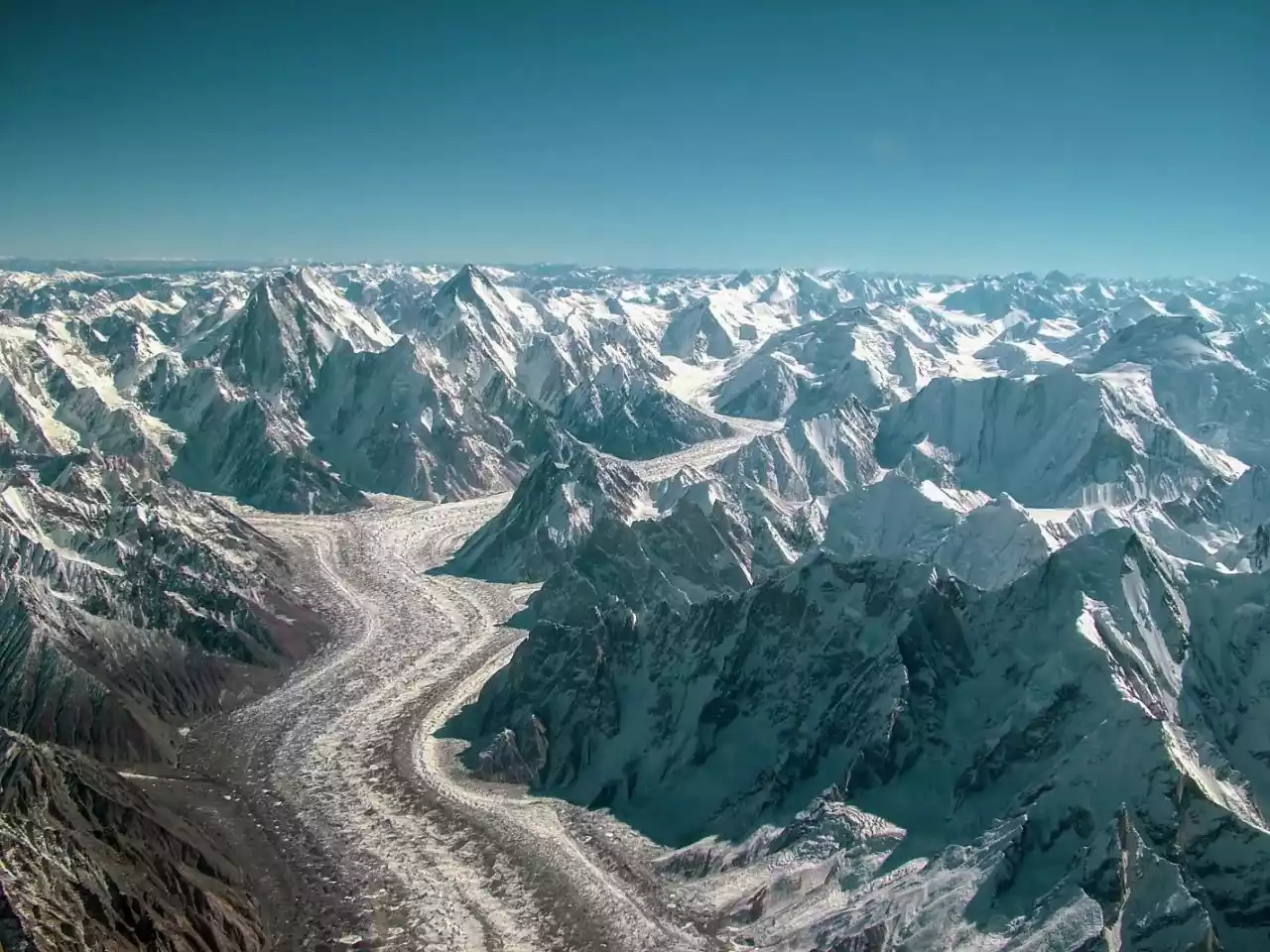
The Karakoram Mountains are the tallest mountain range in the world with the most developed mountain glaciers. It is about 240 kilometers wide and 800 kilometers long.
Karakoram Highway
There are eight low-latitude mountain glaciers in the world with a length of more than 50 kilometers, six of which are in the Karakoram Mountains. The total area of glaciers in the mountains is 18,600 square kilometers.
The largest glacier, Spa-Biafo Glacier, is 100 kilometers long.
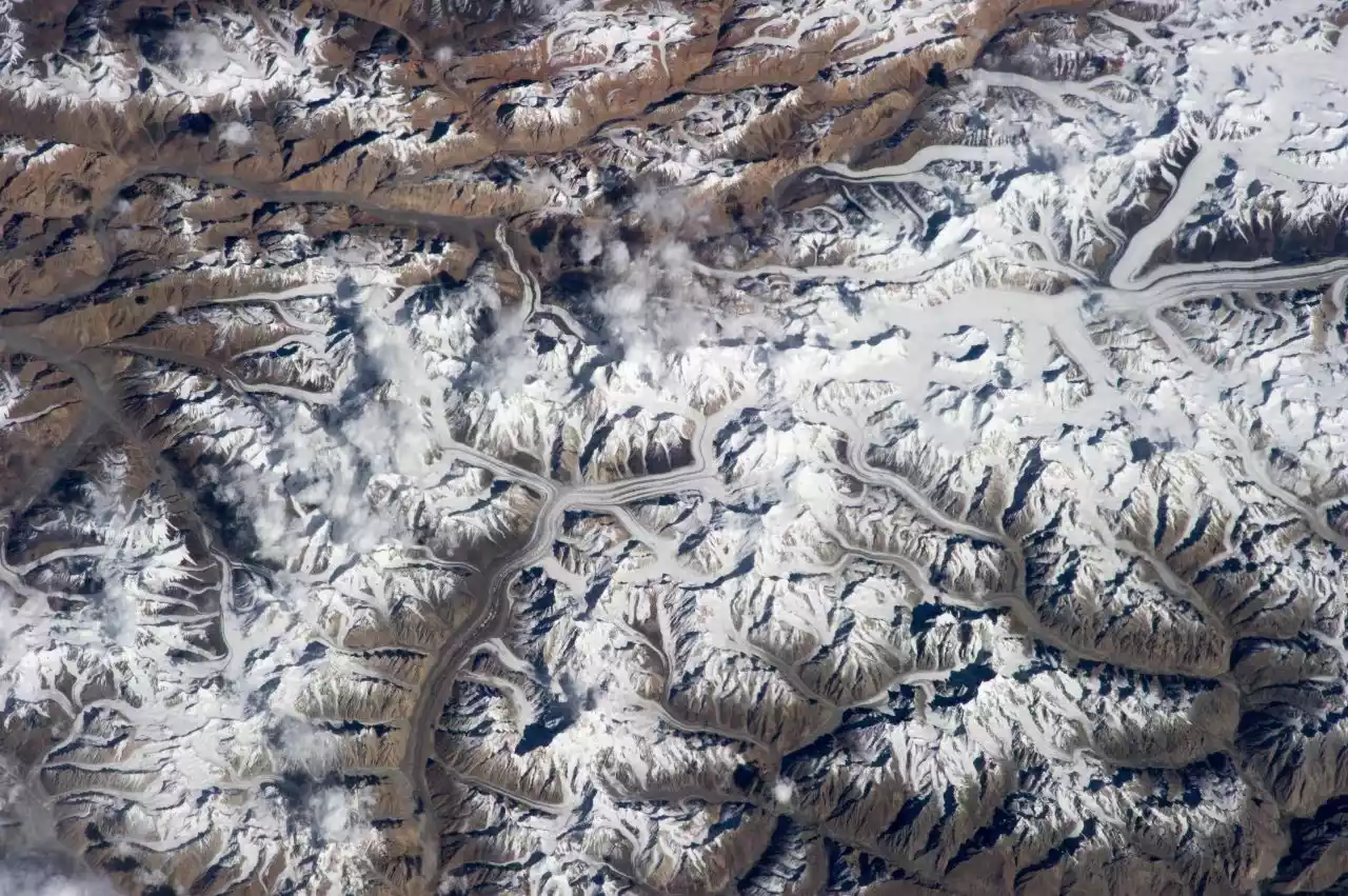
Distribution of Karakoram glaciers
The average altitude of the Karakoram Mountains is above 6,000 meters, with 23 mountains exceeding 7,260 meters and 4 peaks exceeding 8,000 meters.
The mountains usually have sharp and steep shapes, with many snow-capped peaks and huge glaciers, and are surrounded by hundreds of stone towers and pinnacles.
Klezing Valley
K2 is the highest peak in the Karakoram Mountains and the second highest peak in the world. However, in terms of climbing difficulty and a 1:7 death rate, its climbing difficulty is much higher than that of the world's highest peak, Mount Everest. Therefore, people in the mountaineering community have given it many names, such as "the violent warrior" and "the peak of no reward".
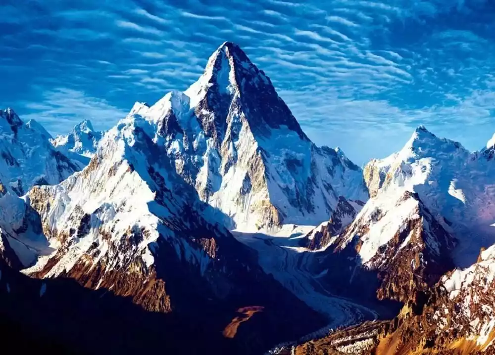
K2@tourists Huadu Dragonair
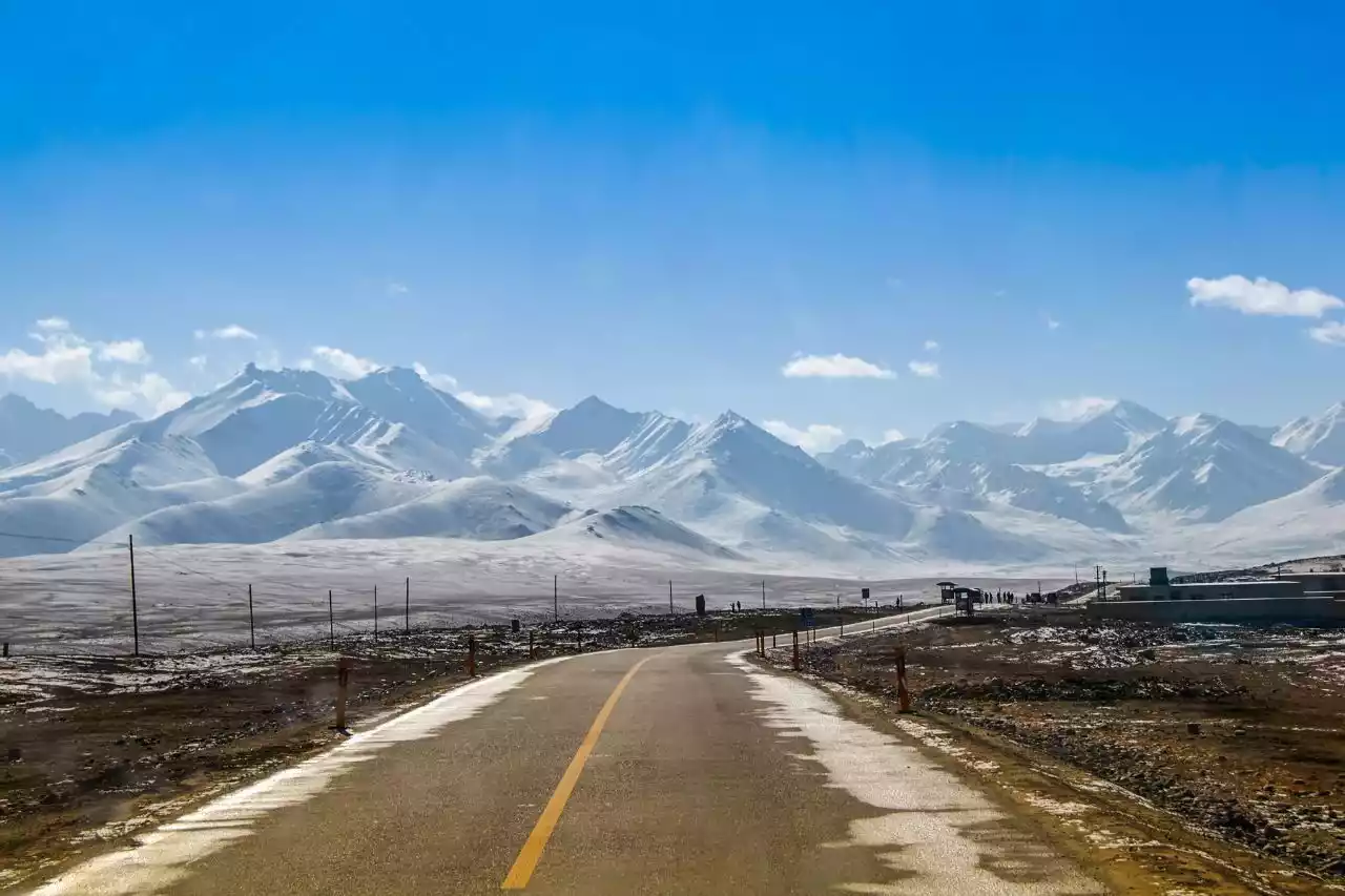
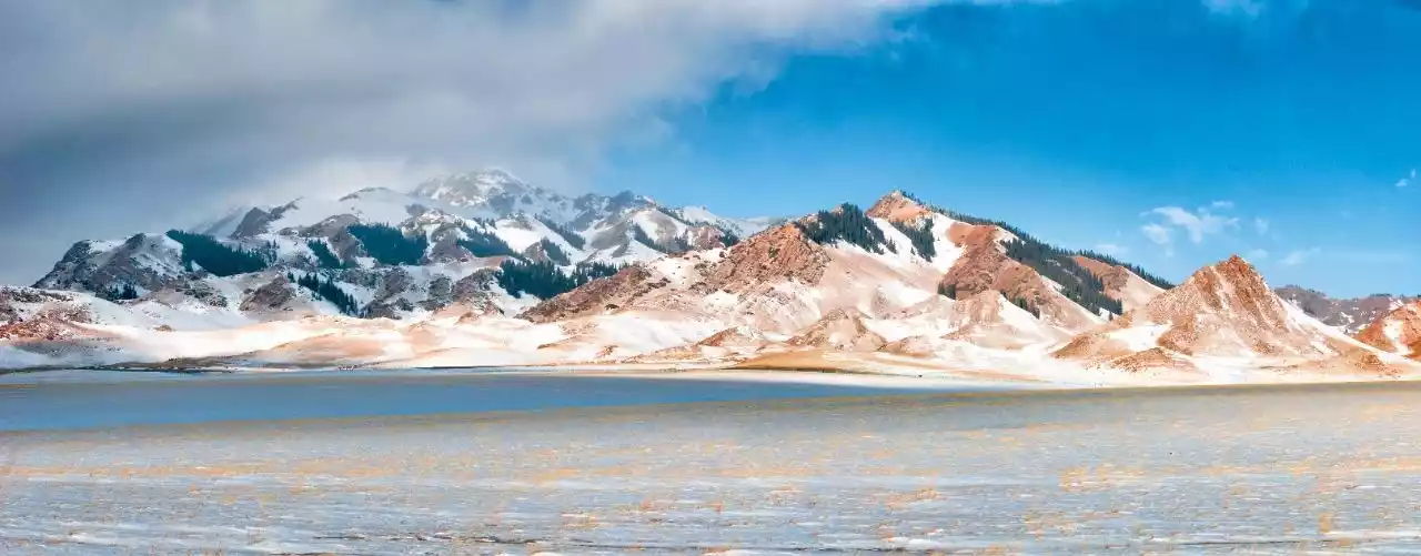
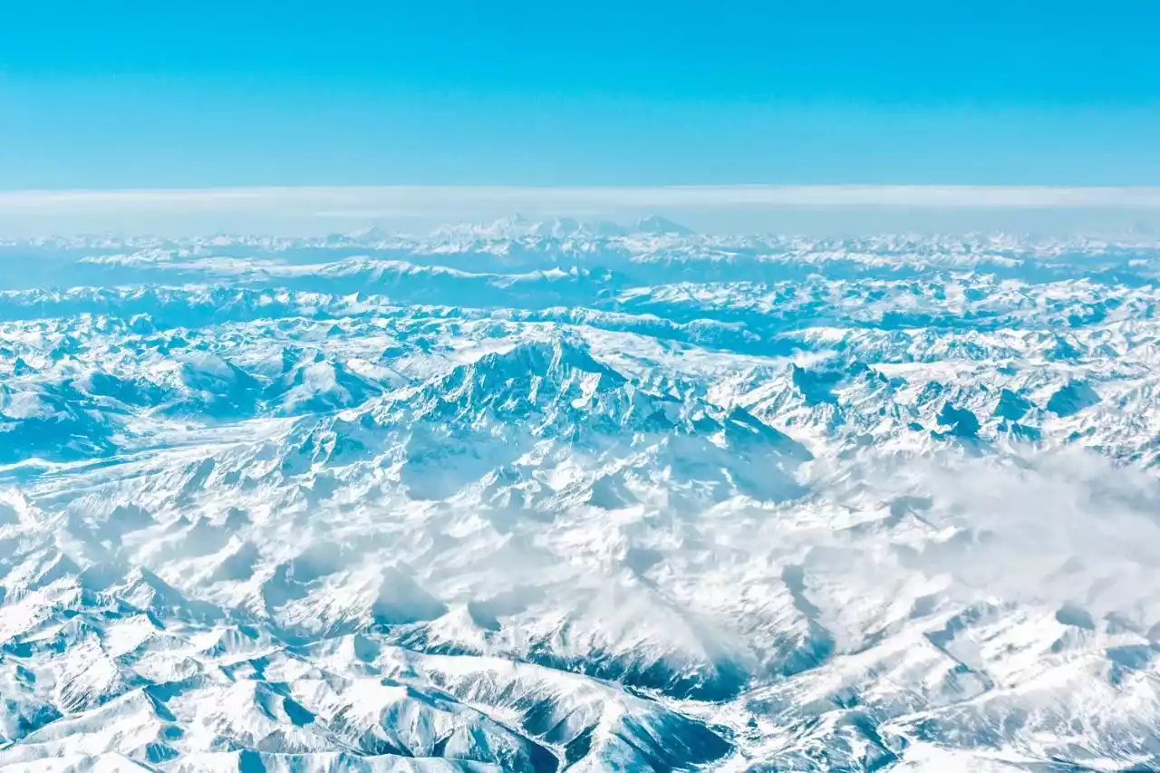
6. The Axis of the Western Regions - Tianshan Mountains
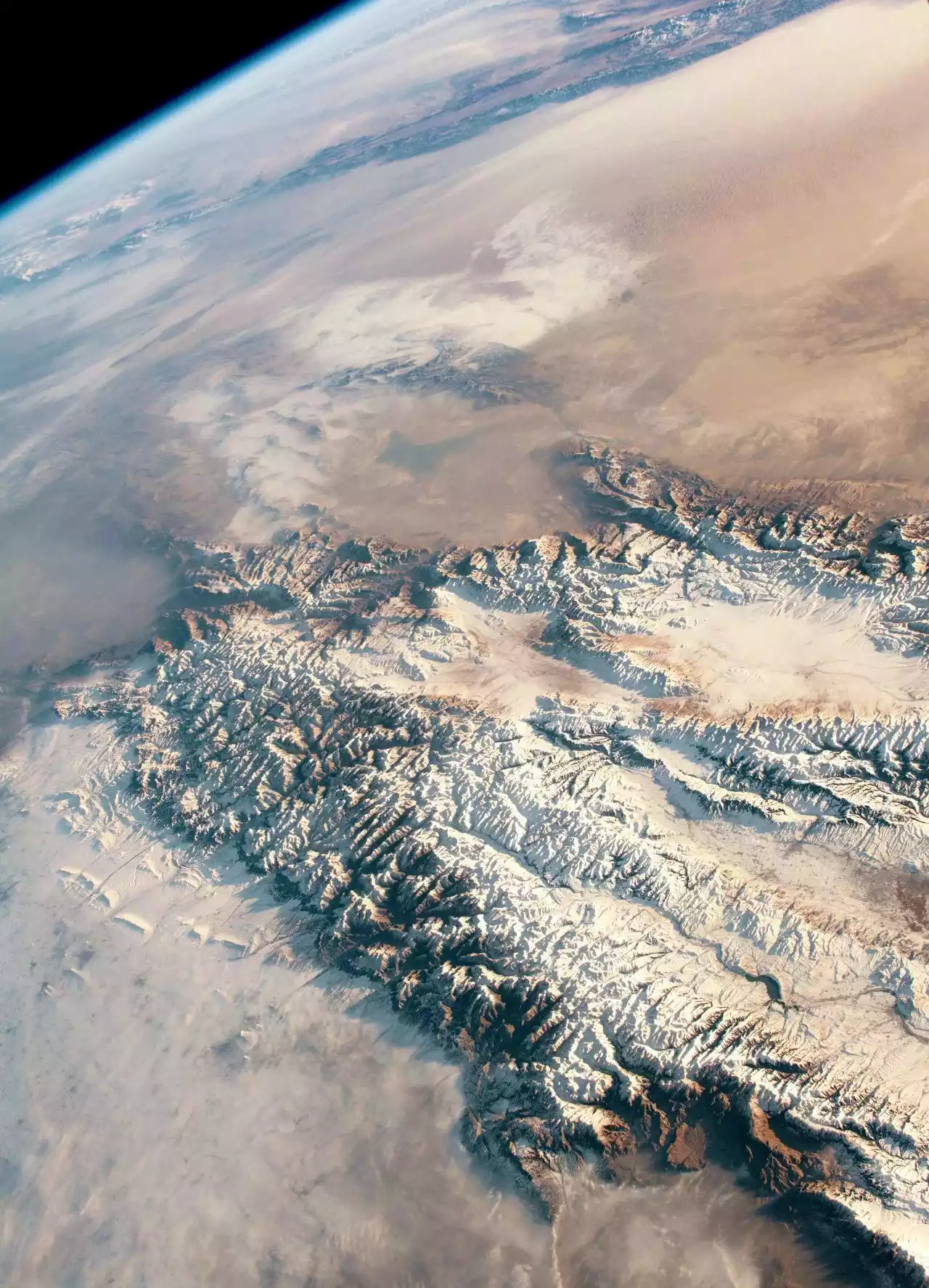
Tianshan Mountains from space
The Tianshan Mountains, one of the seven major mountain ranges in the world, stretch east-west and are the world's largest independent latitudinal mountain range. They stretch for 1,700 kilometers within China and cover approximately one-third of Xinjiang's total area.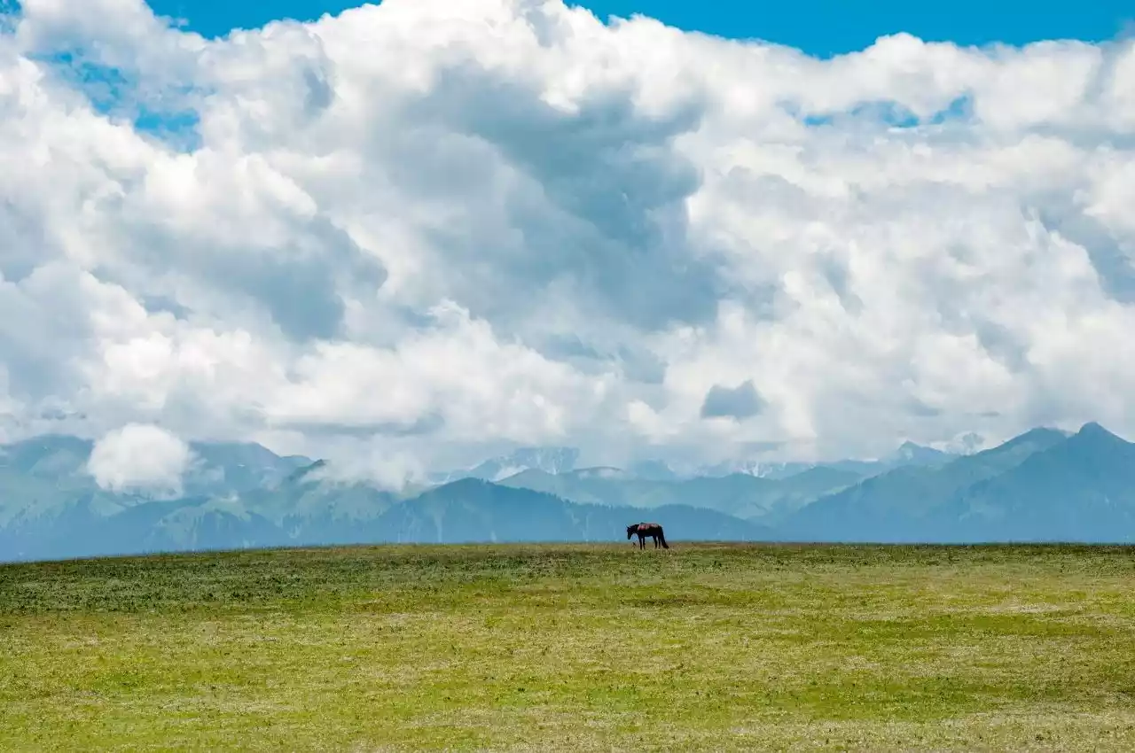
The mountain range roughly divides Xinjiang into two parts: the Tarim Basin in the south and the Junggar Basin in the north. The Turpan Basin lies between its two eastern branches.
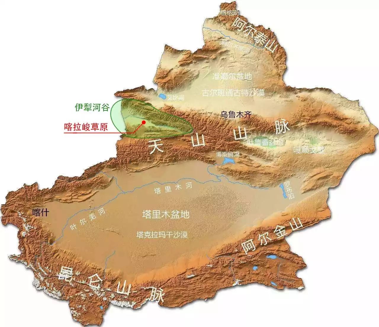
Westerly winds prevail in the Tianshan Mountains all year round, and the annual precipitation accounts for nearly half of the entire Xinjiang region. The abundant precipitation has brought about spectacular geological landforms, including gullies, canyons, giant alluvial fans, and snow-sea glaciers.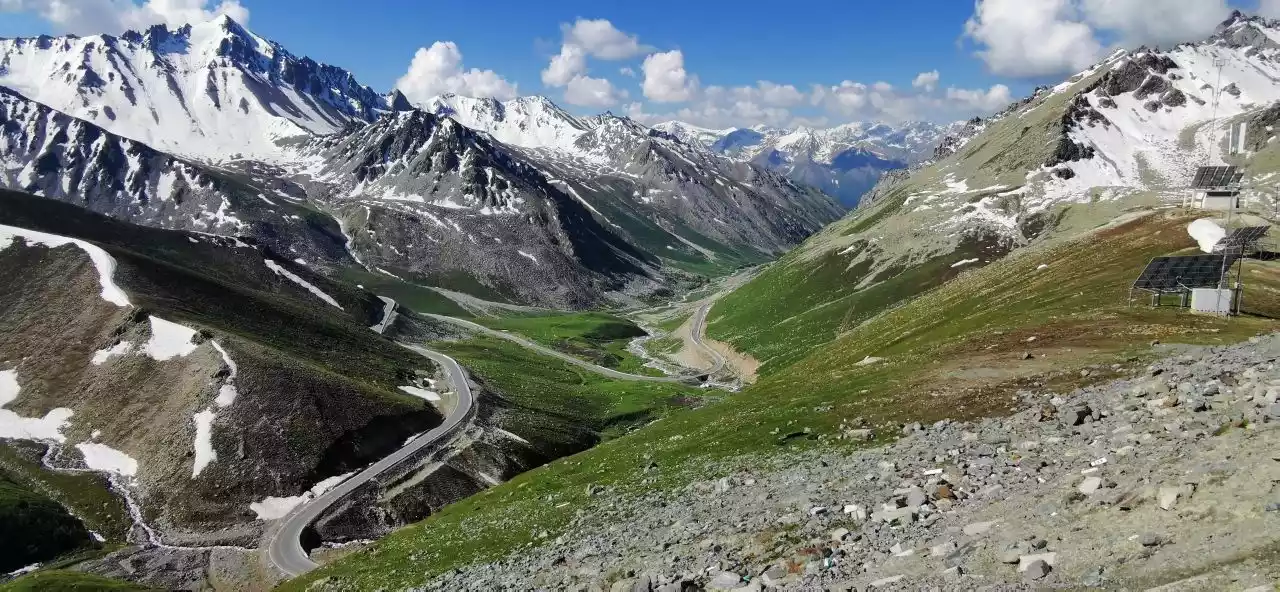
There are 7,934 glaciers of various sizes in the mountainous areas of China alone. Glaciers serve as a solid water source and give birth to more than 370 rivers in Xinjiang.
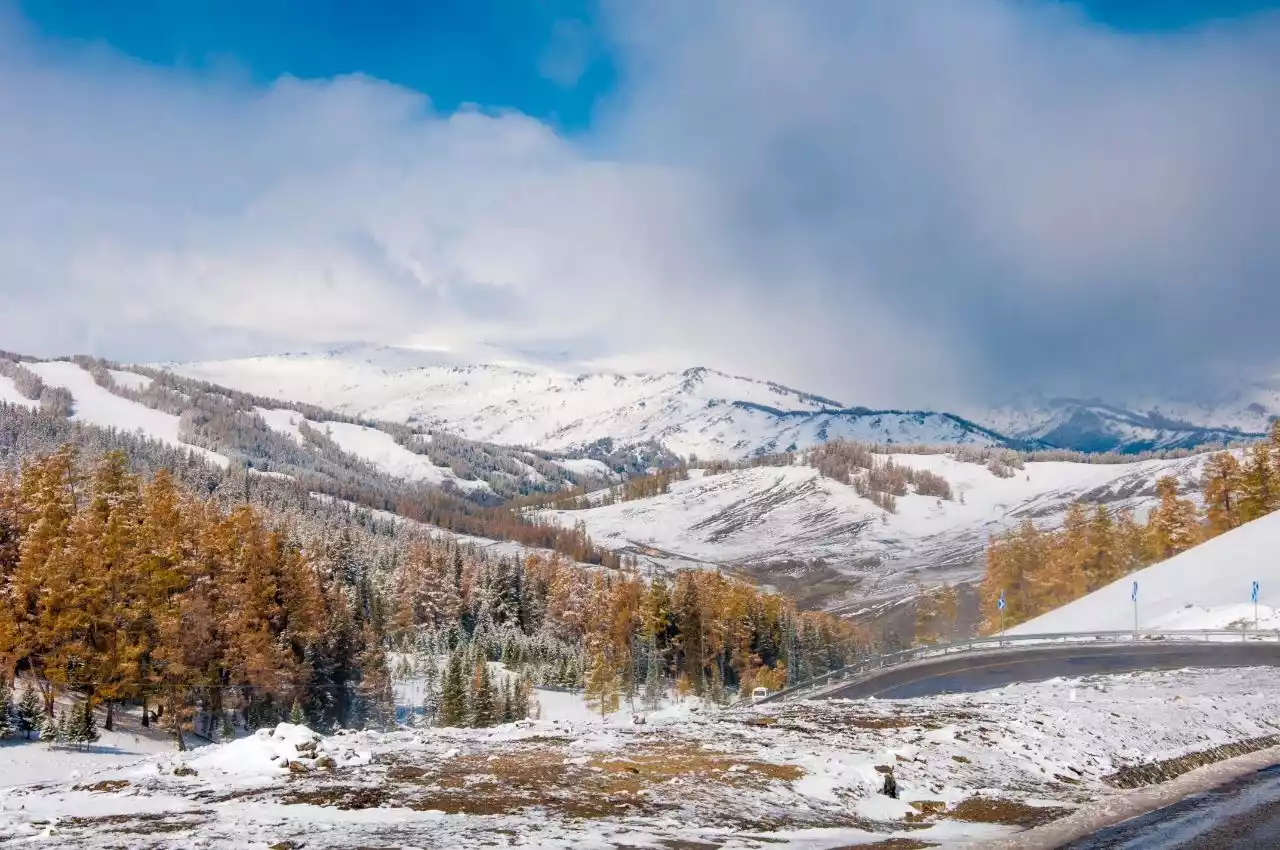
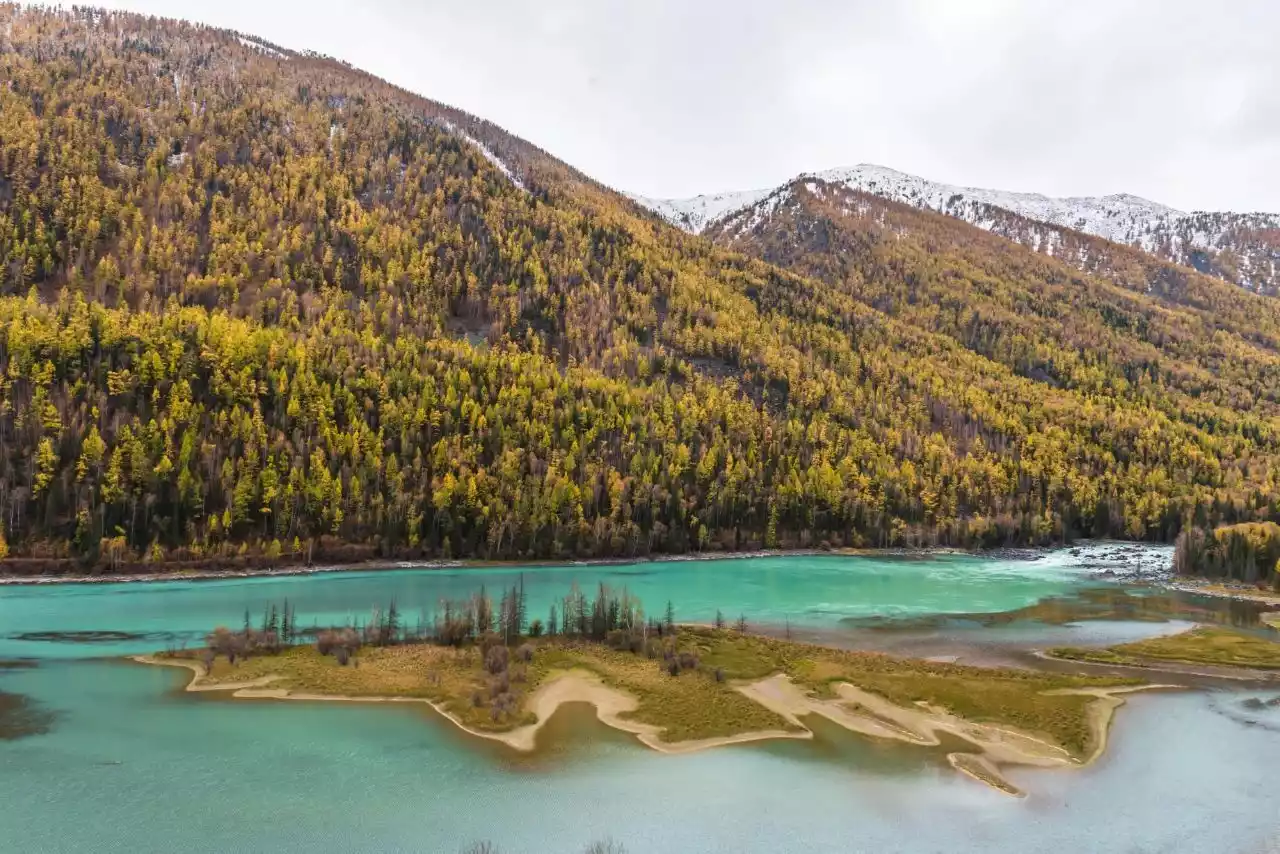
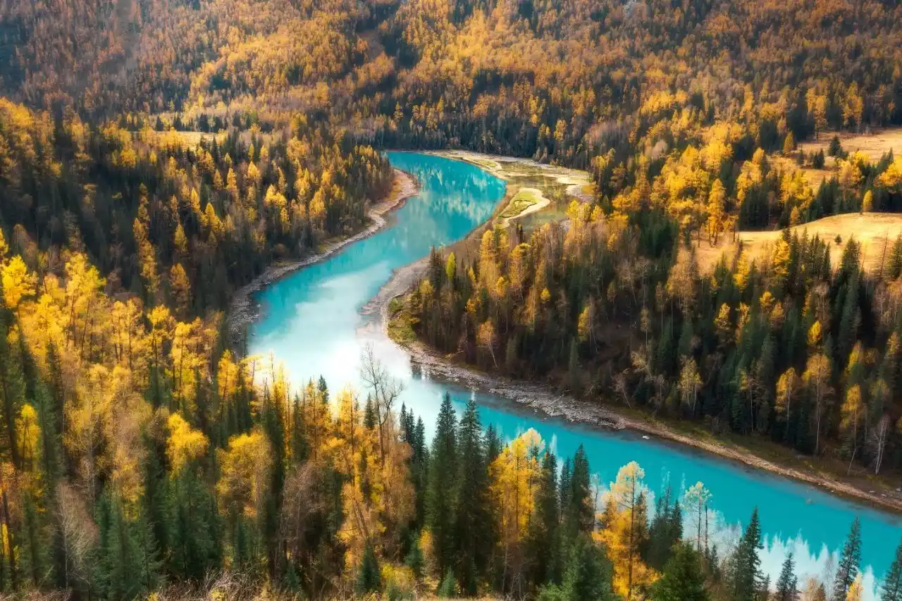
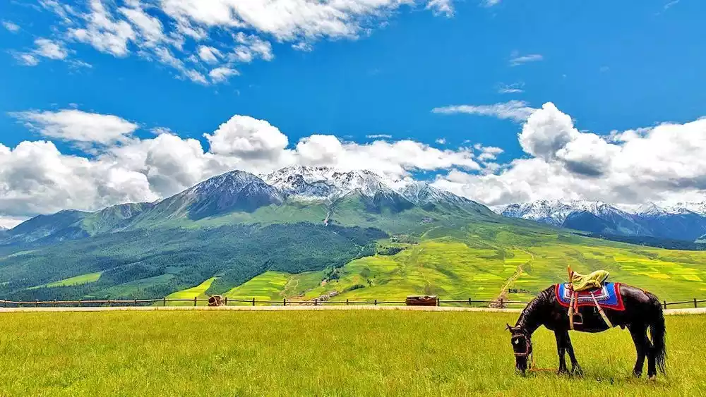
7. Four-season paradise – Altai Mountains
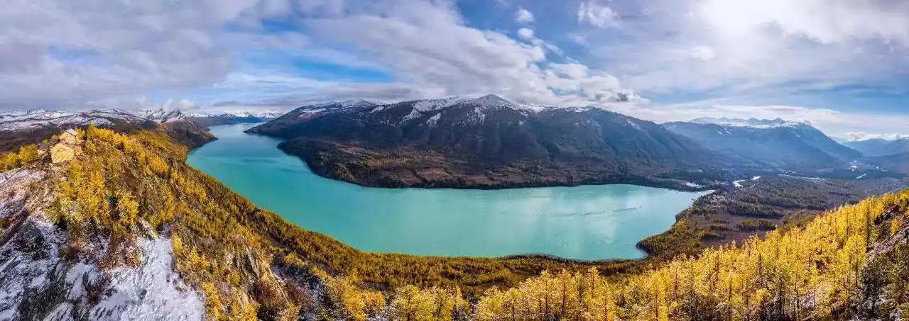
Panoramic view of Kanas Lake
The Altai Mountains run from northwest to southeast, stretching over 2,000 kilometers. The forest area covers 1.61 million hectares, of which 1 million hectares are special protected areas.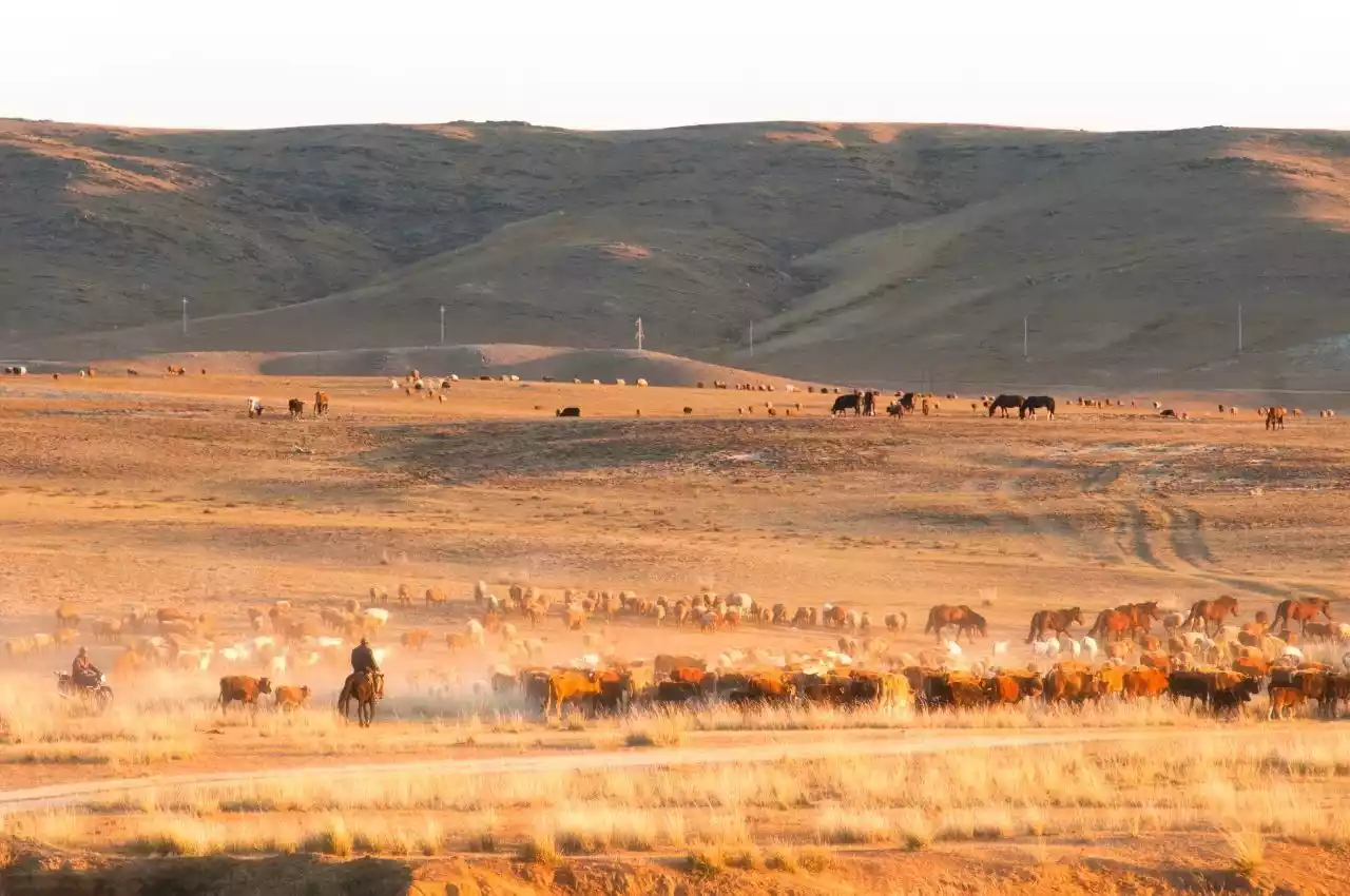
Altai Mountain herders migrate
There are more than 2,000 plant species in the Altai Mountains, 212 of which are unique to the area. The most eye-catching is the alder, which only grows in the eastern Altai region.
Altai Mountains Snow Scene
Kanas Lake, located on the southern slope of Friendship Peak, is the main peak, covered in snow year-round. Shaped like a crescent, its waters reach a maximum depth of 188.5 meters, making it the deepest alpine freshwater lake in my country.
Wolong Bay of Kanas Lake
The lake is covered with vast blue waves and reflects the mountains. The lake surface also changes color with the change of seasons and weather. It is the famous "color-changing lake".
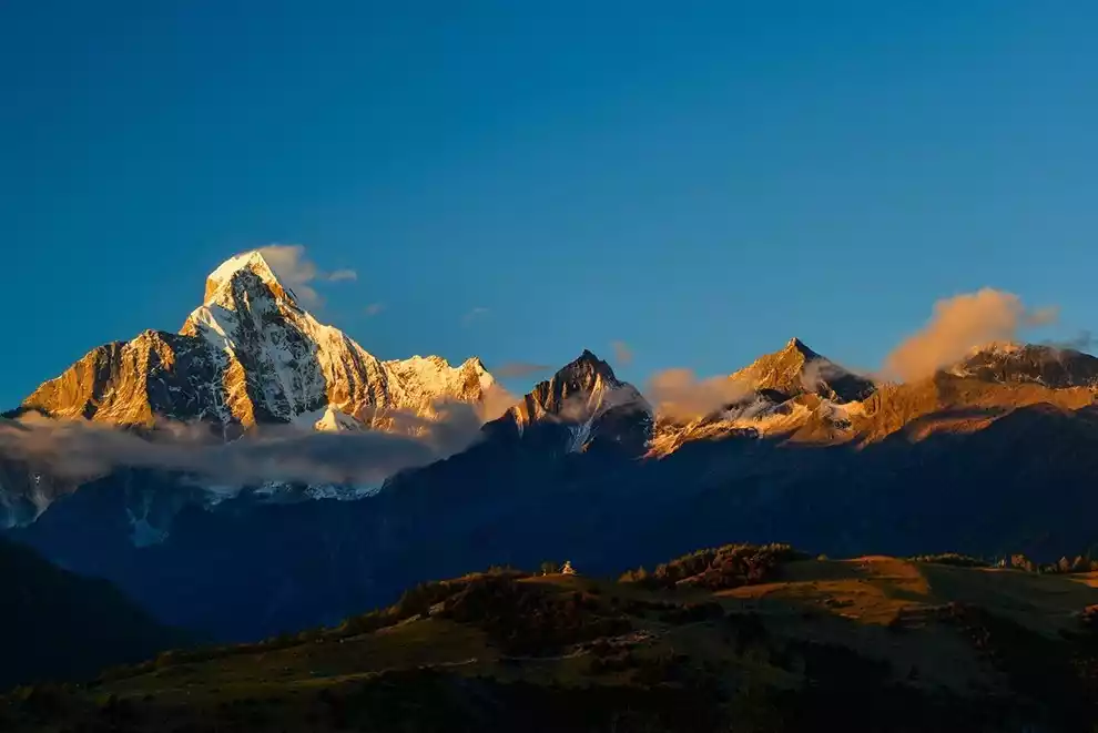
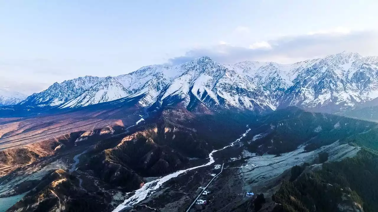
8. Folding Space - Hengduan Mountains
@Leilei
The Hengduan Mountains are the longest, widest and most typical north-south mountain range in China, covering an area of about 360,000 square kilometers, 98% of which is mountainous.
Siguniang Mountain
The seven transverse mountain ranges are clustered within a 700-kilometer-wide area: Boshula Mountains-Gaoligong Mountains, Tanianthaweng Mountains-Nu Mountains, Mangkang Mountains-Yunling Mountains, Shaluli Mountains, Daxue Mountains, Qionglai Mountains, and Min Mountains. The average spacing between the main ridgelines of the seven mountain ranges is only about 100 kilometers.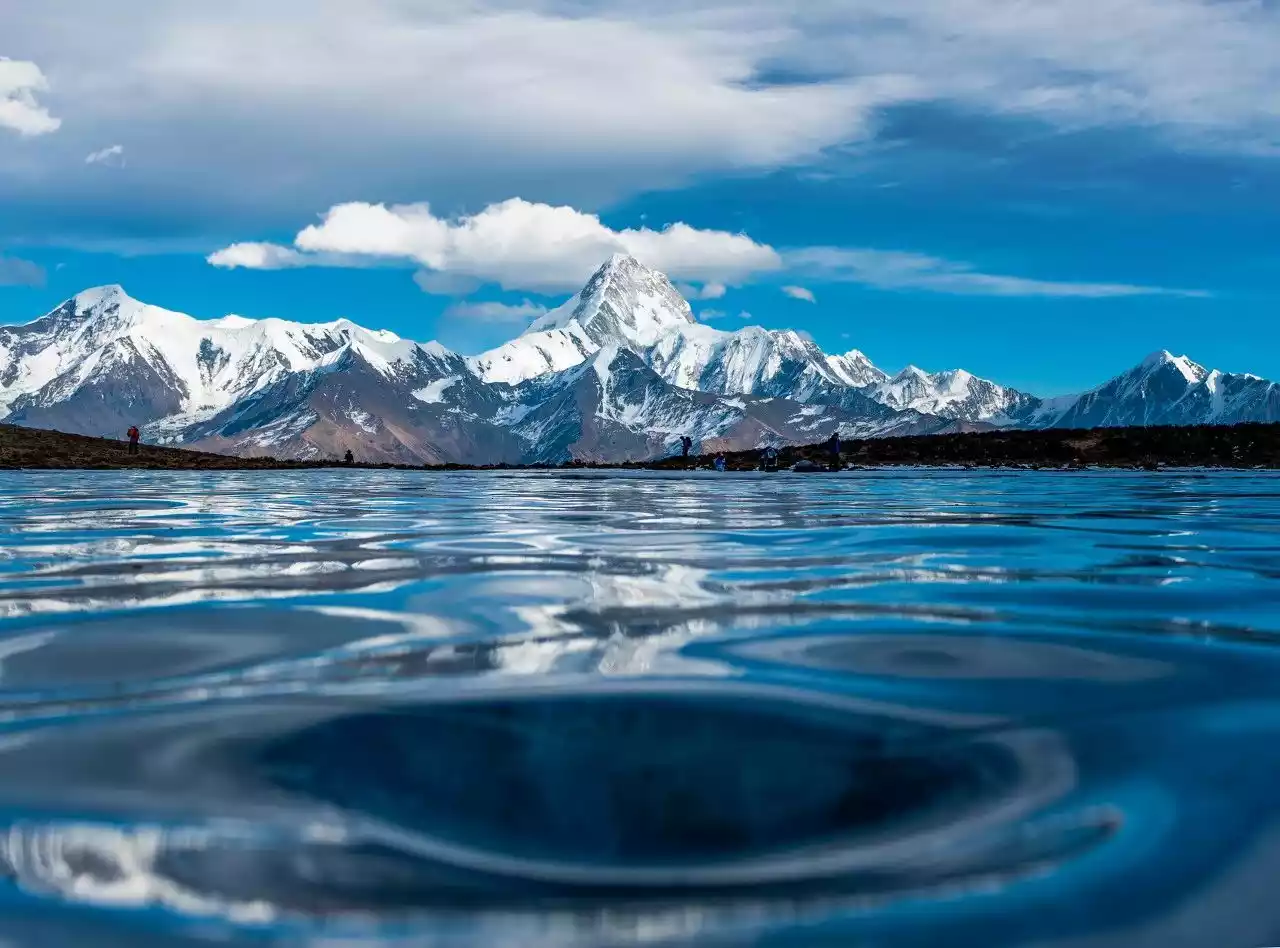
Gongga Snow Mountain
Among the seven mountain ranges, Gongga, Meili, Siguniang Mountain, Jade Dragon Snow Mountain, Queer Mountain, Genyen, Yangmaiyong and Xuebaoding are famous mountains that rise from the ground and point to the sky.
Meili Three Peaks
The Jinsha River, Lancang River and Nu River flow parallel to each other here for more than 170 kilometers, forming a rare natural geographical landscape in the world where "rivers flow side by side without converging."
The shortest straight-line distance between the Lancang River and the Jinsha River is 66 kilometers, and the shortest straight-line distance between the Lancang River and the Nu River is 18.6 kilometers.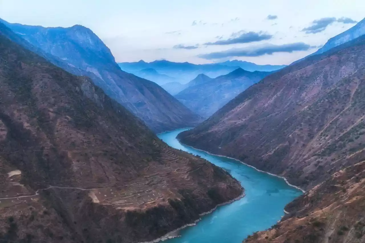
Jinsha River
9. Silk Road Wetland Island - Qilian Mountains
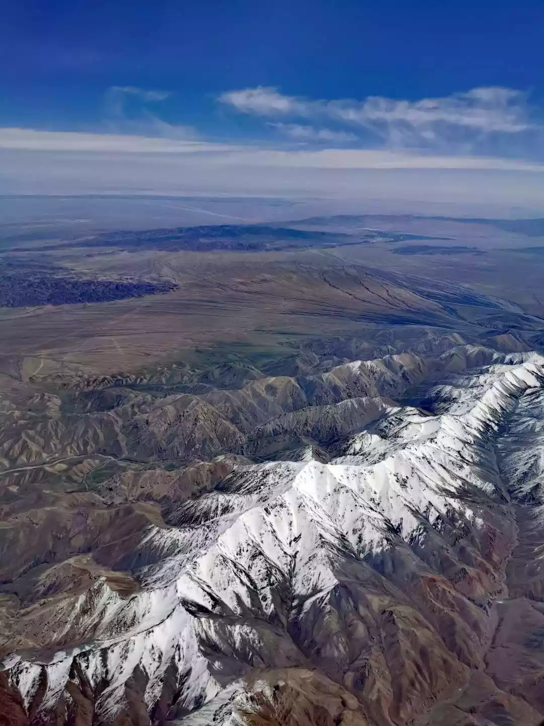
Overlooking the Qilian Mountains from an airplane @周超
The Qilian Mountains are located in northeastern Qinghai and western Gansu. Due to the special influence of the Qinghai-Tibet Plateau on atmospheric circulation, the meltwater from the ice and snow in the Qilian Mountains has become the water source on which the local area depends.
The Qilian Mountains' water storage is primarily in the form of glaciers, with a total of 3,306 glaciers, accounting for approximately 3.7% of China's total glacier area. This is a massive solid reservoir, a veritable alpine water tower.
It gives birth to nearly a thousand rivers of varying sizes, including the Heihe River, Shule River, and Shiyang River, irrigates the Hexi Corridor and Ejina Banner in Inner Mongolia, and provides living conditions for approximately 100,000 livestock and more than 6 million people.
Zhuoer Mountain
The total area of Qilian Mountain National Park is 50,200 square kilometers, accounting for 31.5% of the total area of the national park.
In particular, the Qinghai area has a large number of wetland bird species, and is an important breeding ground for water birds such as black-necked cranes and bar-headed geese.

Qinghai Lake Bar-headed Goose
10. The Center of the Universe – Gangdise Mountains
Nyainqentanglha Mountains
The Gangdise Mountains run across the southwestern part of China's Tibet Autonomous Region, parallel to the Himalayas and connected to the Nyainqentanglha Mountains in the east. It is 1,100 kilometers long and has an altitude of about 6,000 meters.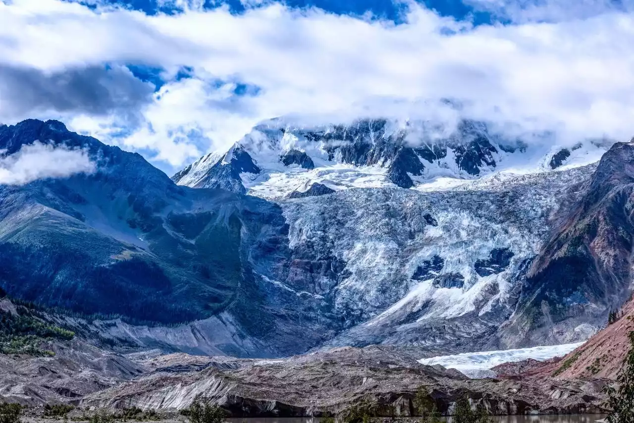
Midui Glacier
The highest peak is Mount Luobo (Lengbugangri), with an altitude of 7,095 meters. The second main peak, Mount Kailash, is located north of Lake Manasarovar and has an altitude of 6,656 meters.
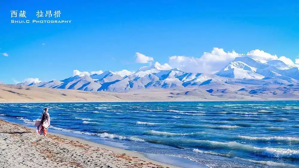
Laangcuo
Gangdise, meaning "Lord of Mountains" in Tibetan, is also known as the "Axis of the World." It is the birthplace of many religions and has been a sacred site of veneration and pilgrimage for people from Central and South Asia since ancient times.
Bon religion, the Hindu Mahavairocana sect and many religions in Southeast Asia, such as Jainism and Zoroastrianism, all have the same origin and originated in Mount Kailash.
The old lady turning the prayer wheel
Bon religion regards Mount Kailash as the center of the universe and reveres it as a holy place. Hindus believe that circling Mount Kailash once can wash away a lifetime of sins; circling it ten times can save one from the sufferings of hell in five hundred reincarnations; circling it a hundred times can lead to ascension to heaven and attain Buddhahood.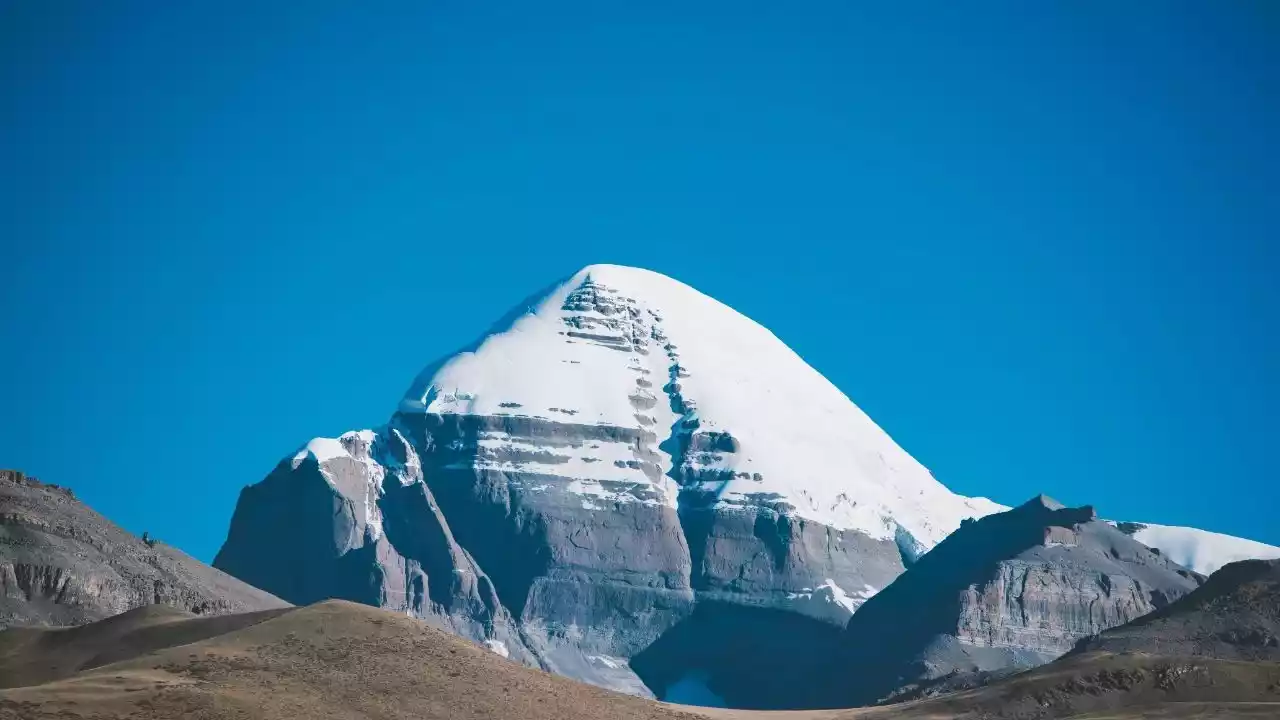
Mount Kailash
Conclusion
After reading about the top ten super mountains in our country, do you have a stronger respect for nature?
I hope that in our lifetime, we will have the opportunity to stand at the foot of the sacred mountain and experience the awe-inspiring power of nature firsthand.