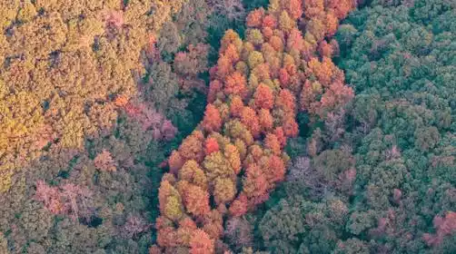
How many of China's top ten epic classic hiking routes have you walked?
Preface
Tourists take a look at China's epic hiking routes. Visit one and you'll be proud of it for the rest of your life!
See which ones you've walked? Check in one by one, in no particular order~
Sichuan
Yading Grand Pilgrimage
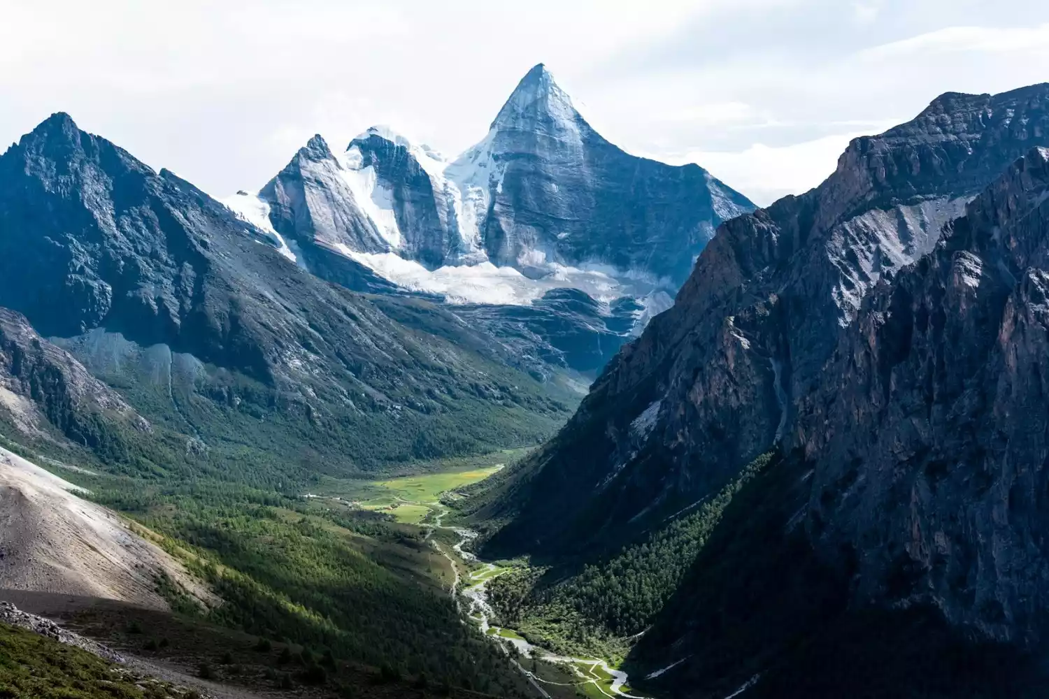
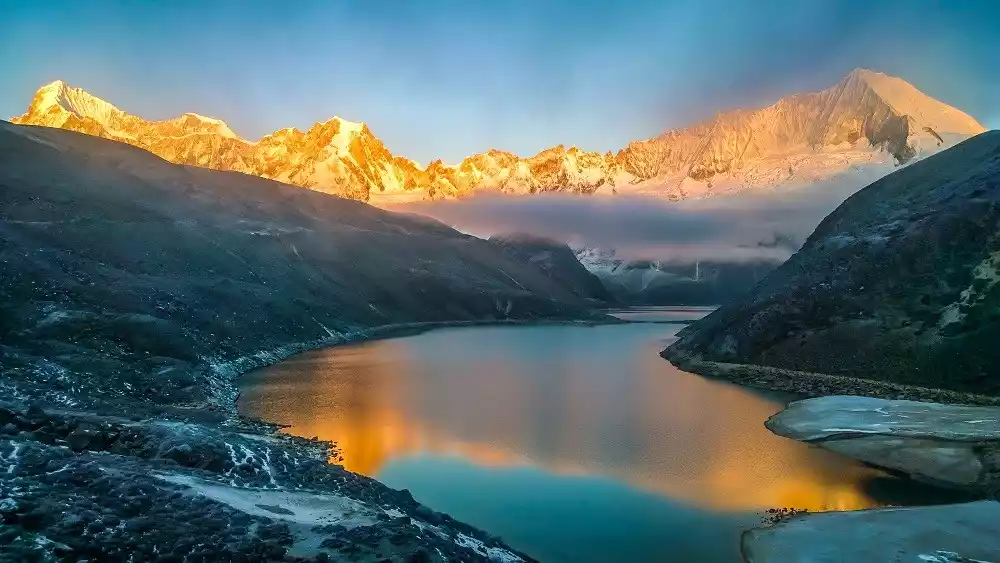
The Three Sacred Mountains of Yading, known as Nyainqen Gongga Risong Gongbu in Tibetan, are located in southwestern Sichuan Province, on the border of Daocheng and Muli counties. They are the main peaks of the southern section of the Shaluli Mountains within the Hengduan Mountain Range. Rising majestically from the ground, these three peaks, capped in ice and snow, are Xiannairi at 6,032 meters, Yangmaiyong at 5,958 meters, and Xianuoduoji at 5,958 meters.
The northern peak, Xiannairi, is an incarnation of Avalokitesvara Bodhisattva; the southern peak, Yangmaiyong, is an incarnation of Manjushri Bodhisattva; and the eastern peak, Xianuoduoji, is an incarnation of Vajrapani Bodhisattva. They enjoy a high religious status among Tibetans. It is said that circumambulating the Three Protectors Snow Mountain once is equivalent to the merit of reciting 100 million mani stones, and circumambulating the Three Protectors Snow Mountain three times can eliminate the sins of the massacre of eight people and horses. Over a hundred years ago, Yading was occupied by bandits who plundered passing merchants and pilgrims. They circumambulated the mountain to cleanse their sins and hope for redemption in the afterlife.
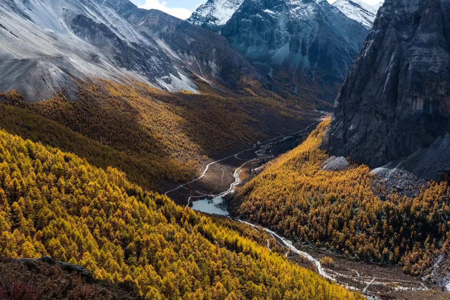
The Yading Grand Pilgrimage is an upgraded version of the Rock Route hike, offering a complete 360-degree circumnavigation of the three sacred mountains of Yading, a traditional pilgrimage. The scenery along the way is beautiful, with prayer flags densely scattered at the Songluo Pass. You may also encounter local Tibetans circumambulating the mountains, adding to the religious and cultural significance.
Tips:
Hiking distance: about 65km
Duration: 9-11 days
Hiking difficulty: 6 stars
Altitude range: 4000-4900m
Recommended season: September-October
Xinjiang
Wusun Ancient Road
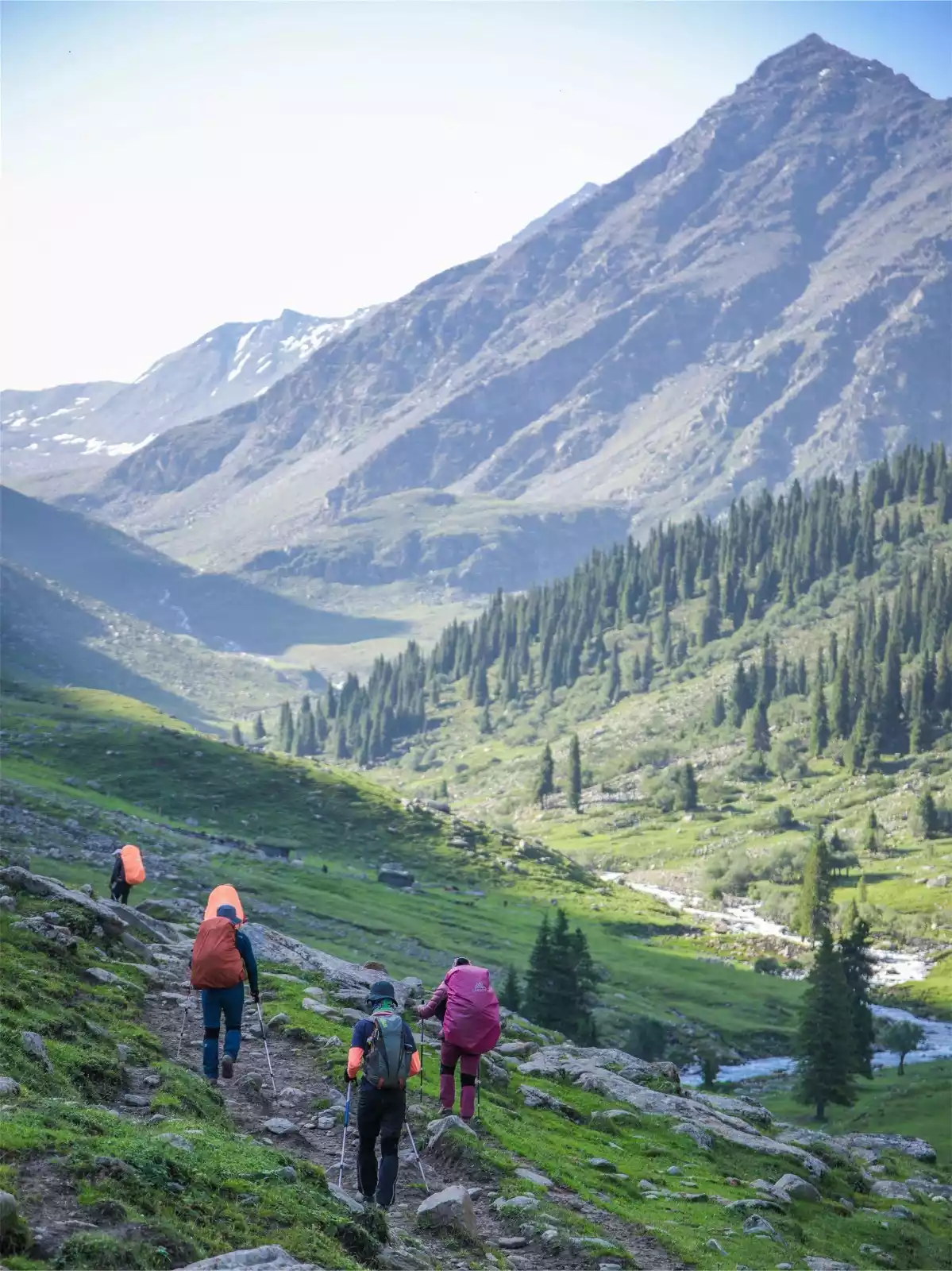
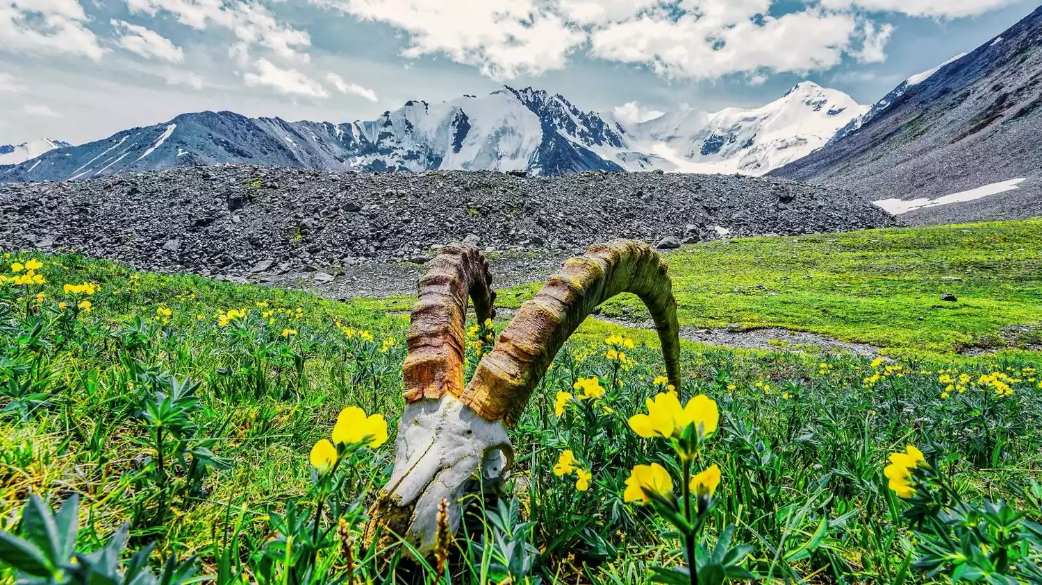
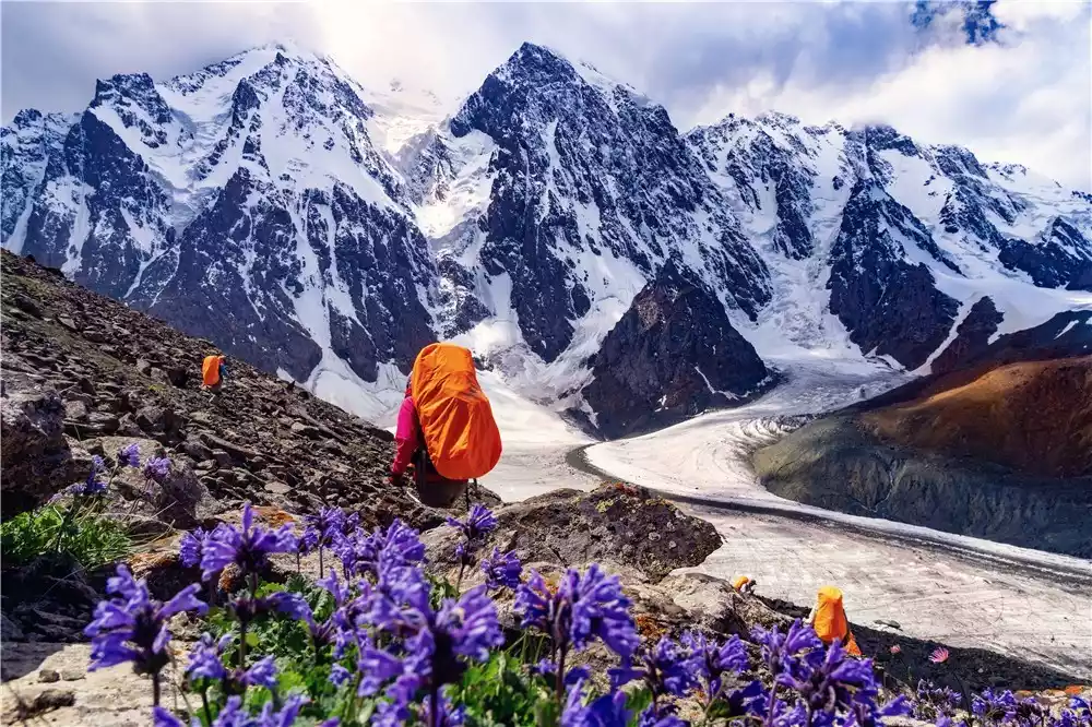
One of Xinjiang's three top trails, this is a hiker's dreamland, where you can witness all four seasons at once. Spring-filled meadows, alpine steppes, river valleys, the Ili River Valley's vast expanses of fir and spruce, golden poplar trees, and the snow-capped mountains at the end... Traversing the Tianshan Mountains from north to south, spanning southern and northern Xinjiang, you'll need to wade through dozens of glaciers, cross Daban Pass, and encounter countless majestic peaks along the way. A 7-day, 120-kilometer hike, a journey of breathtaking scenery and unpredictable action, is an unforgettable experience!
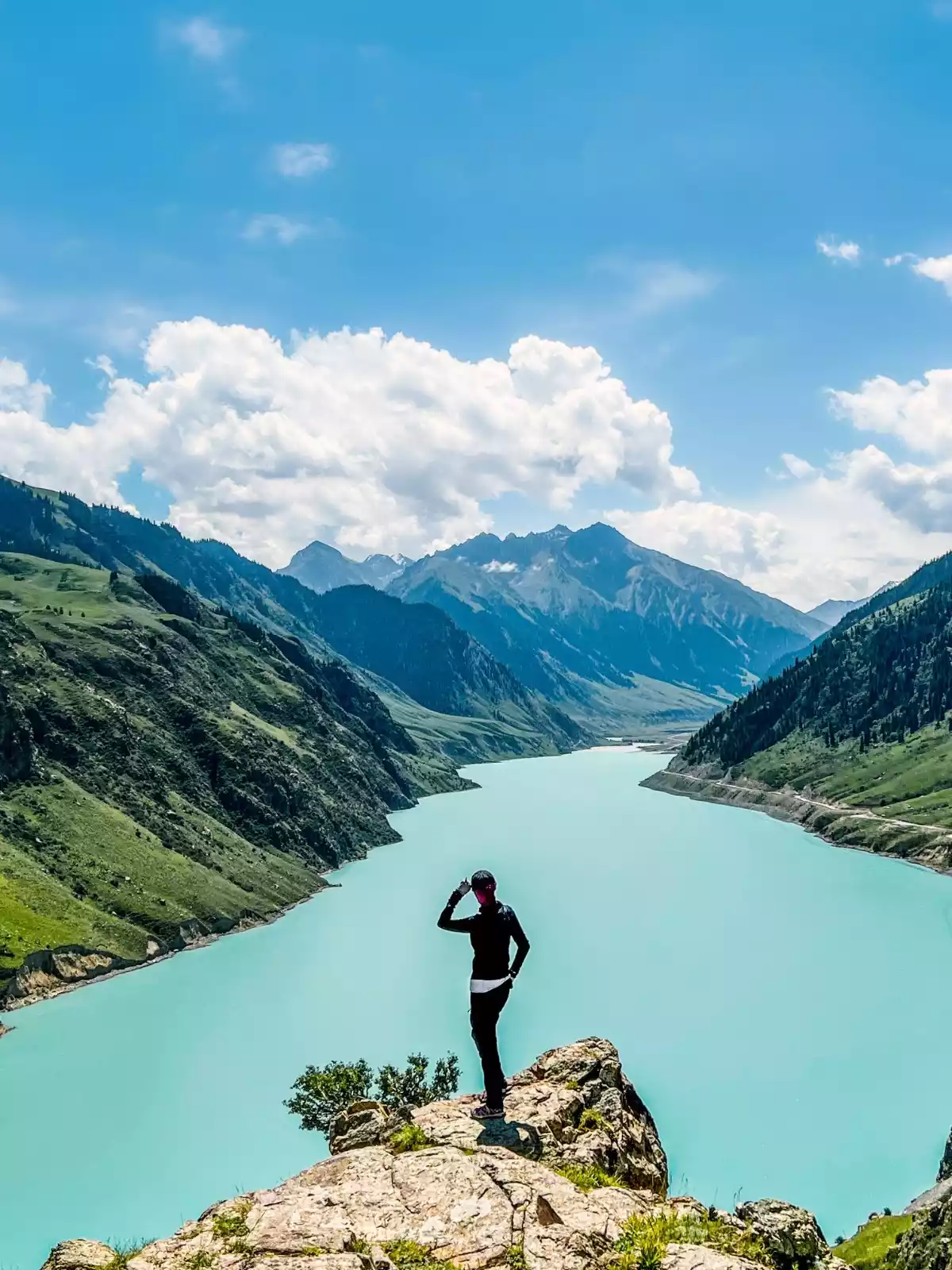
A must-see when visiting the Wusun Ancient Trail is Dream Paradise Lake, a rare large lake in Xinjiang known as "Wusun's unique wonder." The lake's shores are bordered by grasslands, snow-capped mountains, and glaciers, and it lies close to the Akbulak Pass.
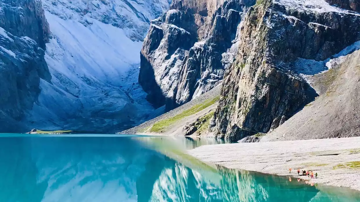
The lake is deep and clear, shaped like a crescent moon, lying quietly among the high mountains on all sides. At this moment, it feels like walking into heaven.
Tips:
Hiking distance: 120km
Duration: 9 days | 7 days hiking
Hiking difficulty: 6 stars
Recommended season: June to October
Xia Te Da Bei Line
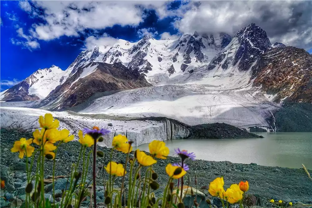
Crossing the Southern Tianshan Mountains, the scenery rivals that of the Wusun Mountains, and the glaciers rival those of the Bogda Mountains. The landscape is rich with snow-capped mountains, grasslands, lakes, and glaciers. Beyond the grasslands, you'll find glaciers, where wildflowers bloom in summer. Enjoy the glaciers, mingle with cattle and sheep along the way, and witness the lakes changing color with the sunlight, and countless snow-capped spruces. Each scene paints a breathtaking and magical picture. The coexistence of history and pristine nature preserves many ancient trails, yet they are rarely visited, leaving them both profound and magical.
The starting point is located in Xigou of Zhaosu Xiata Scenic Area, and the end point is located in Zhaosu Yuhu Lake, crossing from west to east; it intersects with the original Xiate Ancient Road, and the total distance is about 80 kilometers.
Don't miss the Muzart Glacier, a millennium-old Tianshan glacier, 30 km long and 2 km wide, lying like a giant dragon in the Mengqiong Kargai Valley. It's a natural grassland with a sea of flowers and a snowy mountain canyon. Don't miss the Jade Lake, a true wonderland featured on CCTV! Hidden in the heart of the Tianshan glacier, the Color-Changing Lake changes color throughout the year.
Tips:
Hiking distance: 80km
Duration: 8 days | 6 days hiking
Hiking difficulty: 5 stars
Recommended season: June to October
Kalajun
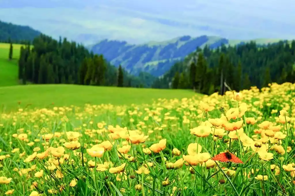
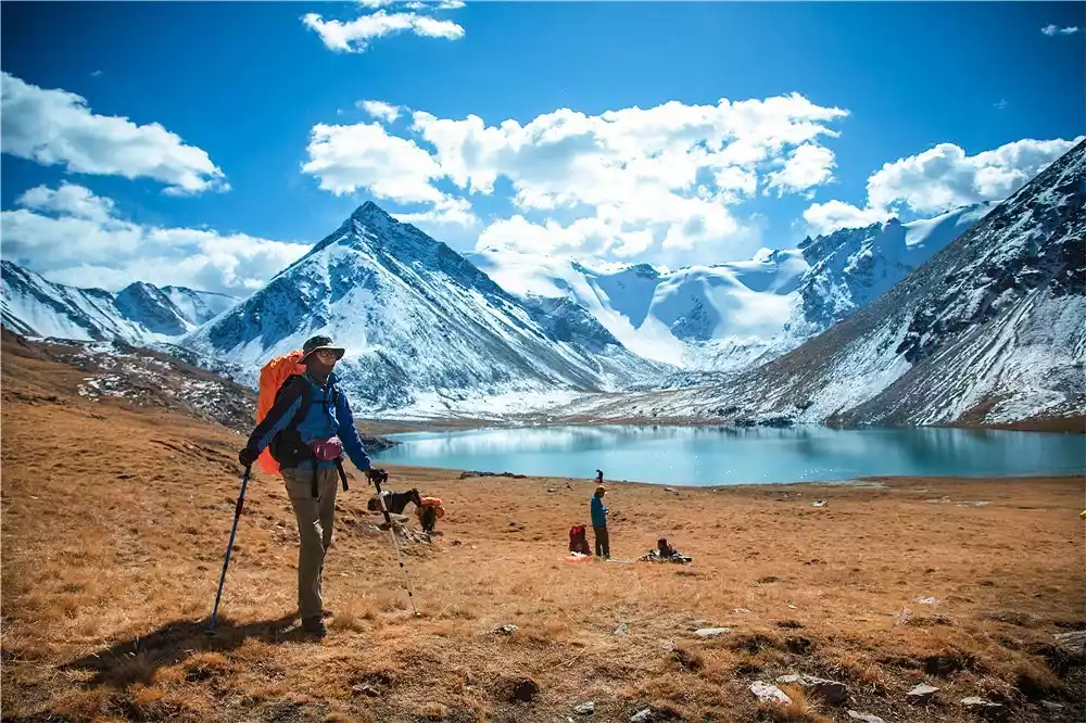
If you haven't been to Xinjiang, you don't know the vastness of China; if you haven't been to Yili, you don't know the beauty of Xinjiang. Why is the Karajun Grassland hike called "the most beautiful hiking route in the Tianshan Mountains"? It captures the essence of the Yili grasslands, penetrates deep into the heart of the Tianshan Mountains, and runs from Karajun to Kurdenin, passing through the core area of the World Natural Heritage. The scenery is vast and diverse, with snow-capped mountains, forests, flower-filled grasslands, glacial lakes, and more along the way, making every photo a masterpiece.
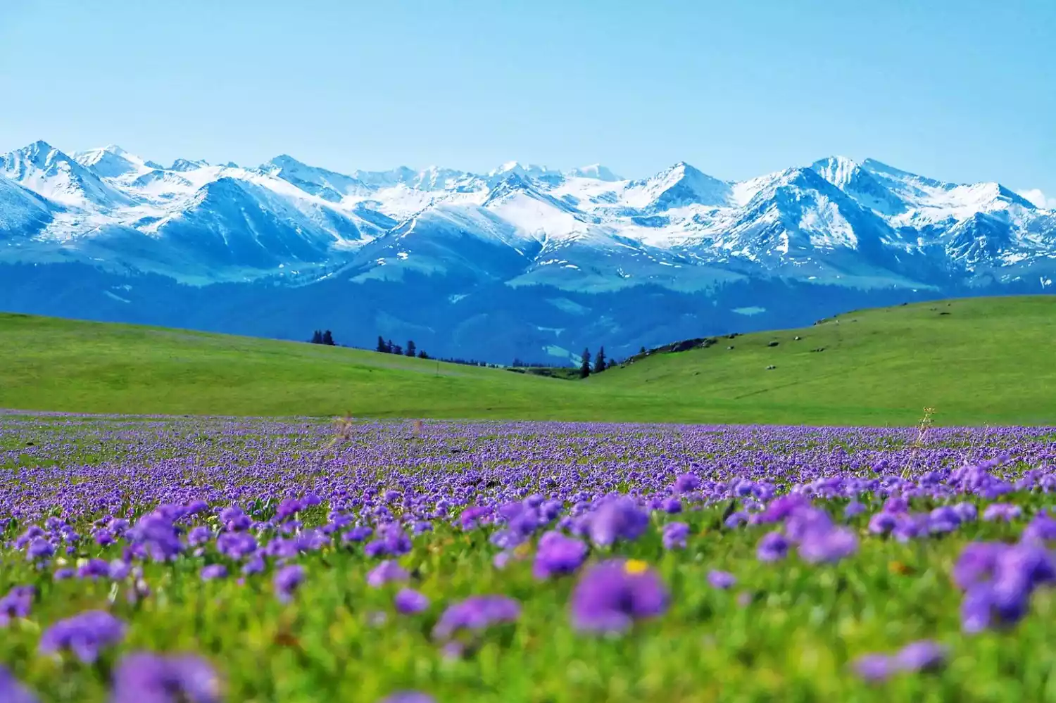
The Kalajun region also boasts some of the world's rarest three-dimensional grasslands. The grasslands undulate like waves, with varying heights and depths. Known as "China's most beautiful three-dimensional grassland landscape," the scenery changes color with the seasons. The land here is fertile, and a variety of wildflowers bloom.
Tips:
Hiking distance: 100km
Duration: 8 days | 6 days hiking
Hiking difficulty: 5 stars
Recommended season: May-August
Bogda
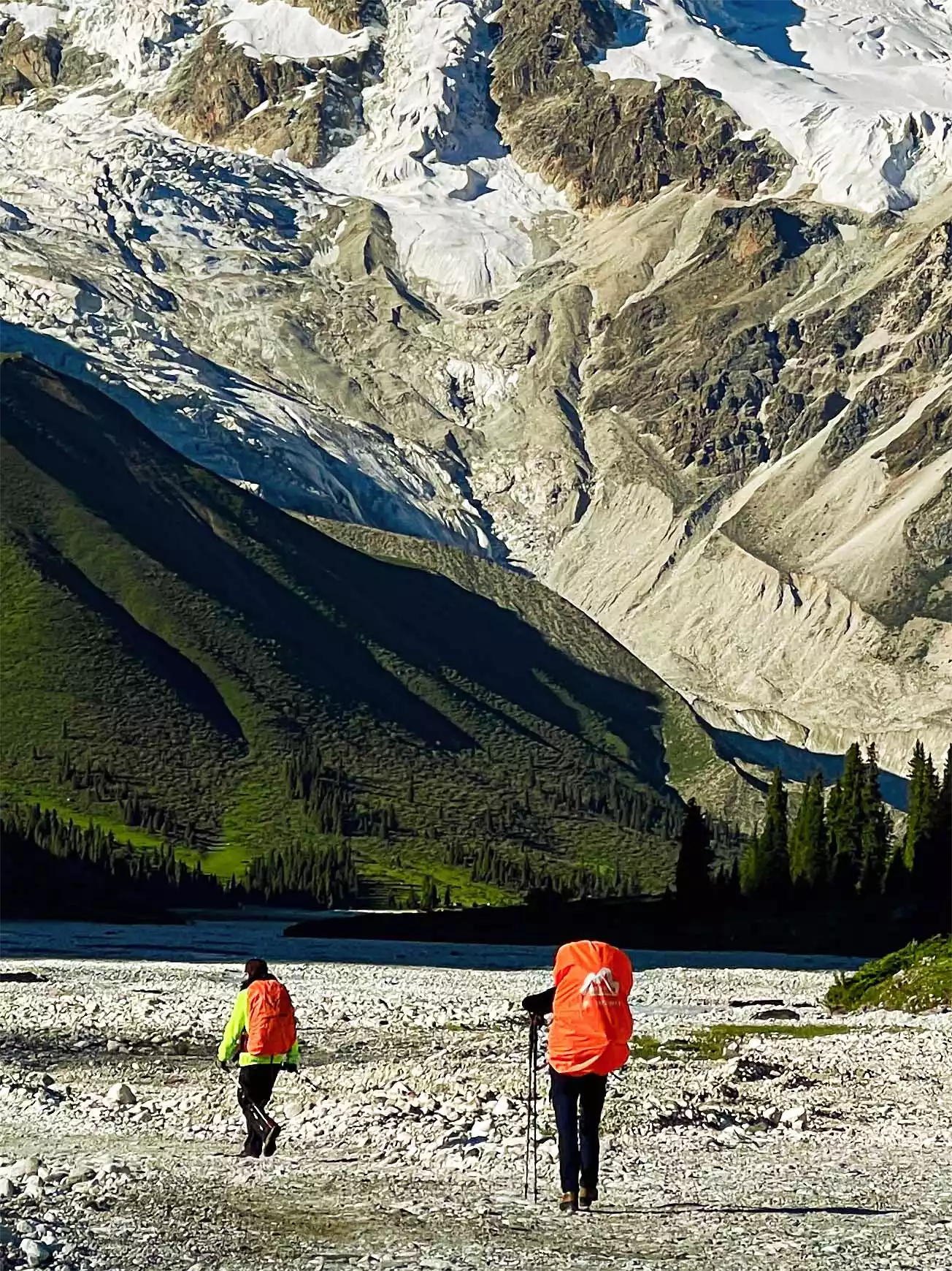
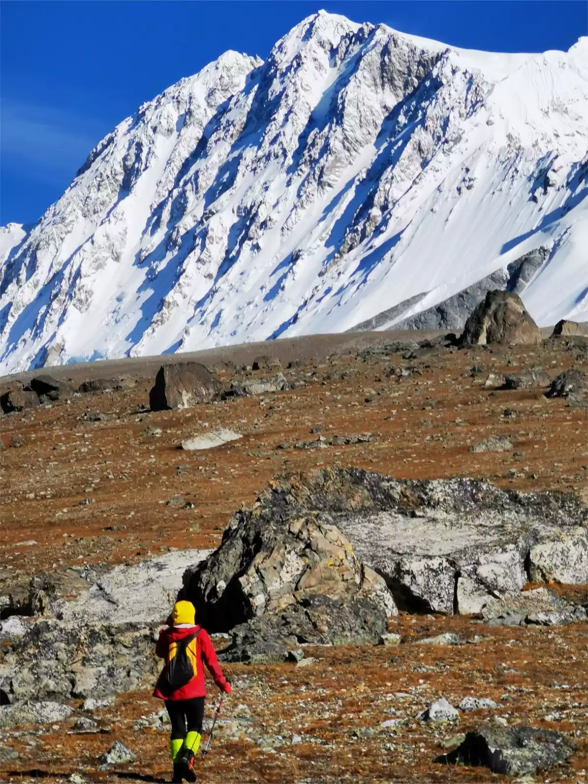
A top-tier outdoor pilgrimage to Bogda Peak, the highest peak in the Eastern Tianshan Mountains. This four-season route traverses snow-capped mountains, glaciers, and lakes, allowing visitors to explore the crevasses of millennia-old glaciers and search for the Tianshan Snow Lotus. Bogda, meaning "sacred mountain," "holy mountain," or "spiritual mountain" in Mongolian, stands at 5,445 meters. This imposing and awe-inspiring peak has long been worshipped as the abode of the gods and the source of the aura of the gods.
The Bogda Line is about 90 kilometers long and requires crossing five passes over 3,000 meters high, accompanied by gravel glaciers all the way, passing through the desolate and lonely south slope and the spring-filled north slope. The huge temperature difference and the grand snow-capped mountain feast are shocking!
Tips:
Hiking distance: 90km
Hiking difficulty: 7 stars
Duration: 8 days | 7 days hiking
Recommended season: June to August
Wolf Tower C+V Line
Xinjiang's advanced outdoor trails, the longest and most dangerous trek through the Northern Tianshan Mountains, are every hiker's ultimate dream, challenging their limits. The Wolf Tower C route involves crossing glacial passes, wading rapids, walking on aerial plank roads, and traversing grasslands and forests... The scenery is breathtakingly beautiful and thrilling, showcasing the majestic beauty of the Tianshan Mountains.
Tips:
Hiking distance: 200km
Duration: 12 days | 10 days hiking
Hiking difficulty: 7 stars
Recommended season: August to October
Tibet
Kulagangri circumambulation
Part of the Himalayan Trekking Trilogy, this introductory hike to Tibet offers breathtaking scenery, surrounded by snow-capped peaks and glaciers, rivaling the spectacular snow-capped mountains of Nepal's EBC region. The route also includes some of Shannan's most iconic and mysterious destinations. If you think this hike only includes Pumoyongcuo, you're mistaken. Tibet offers countless other breathtaking sights, including lakes so blue they seem unearthly.
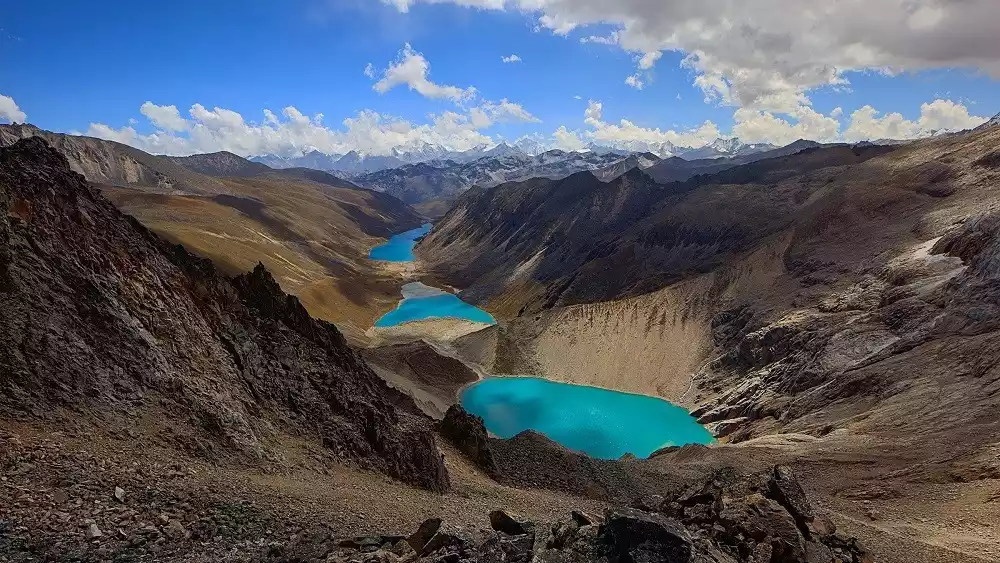
The three sacred lakes of Zhegong Co lie from north to south in the valley, like three sapphires set in the Himalayas. Baimalin Co is said to be one of the three sacred lakes of Guru Padmasambhava, its waters appearing in shades of blue, green, and white depending on the depth. Jiejiu Co is a long, turquoise lake, reflecting a variety of colors in the sunlight. Yamdrok Lake, one of Tibet's three sacred lakes, sits at an altitude of 4,441 meters. Its narrow, winding trough resembles a swan spreading its wings, ready to take flight.
Tips:
Hiking distance: 35km
Duration: 6 days | 3 days hiking
Hiking difficulty: 4 stars
Altitude range: 4200-4900m
Recommended season: March to October
Circumambulate Mount Kailash
Mount Kailash was named one of China's ten most beautiful mountains by National Geographic magazine. Known as the "Roof of the Roof of the World," this sacred religious site is centered around the worship of sacred mountains and lakes. Pilgrimage to the center of the world, along the southern route of Ngari, explore the roof of the world, visit six 8,000-meter-high snow-capped peaks, and circumambulate the mountains, waterways, and pagodas.
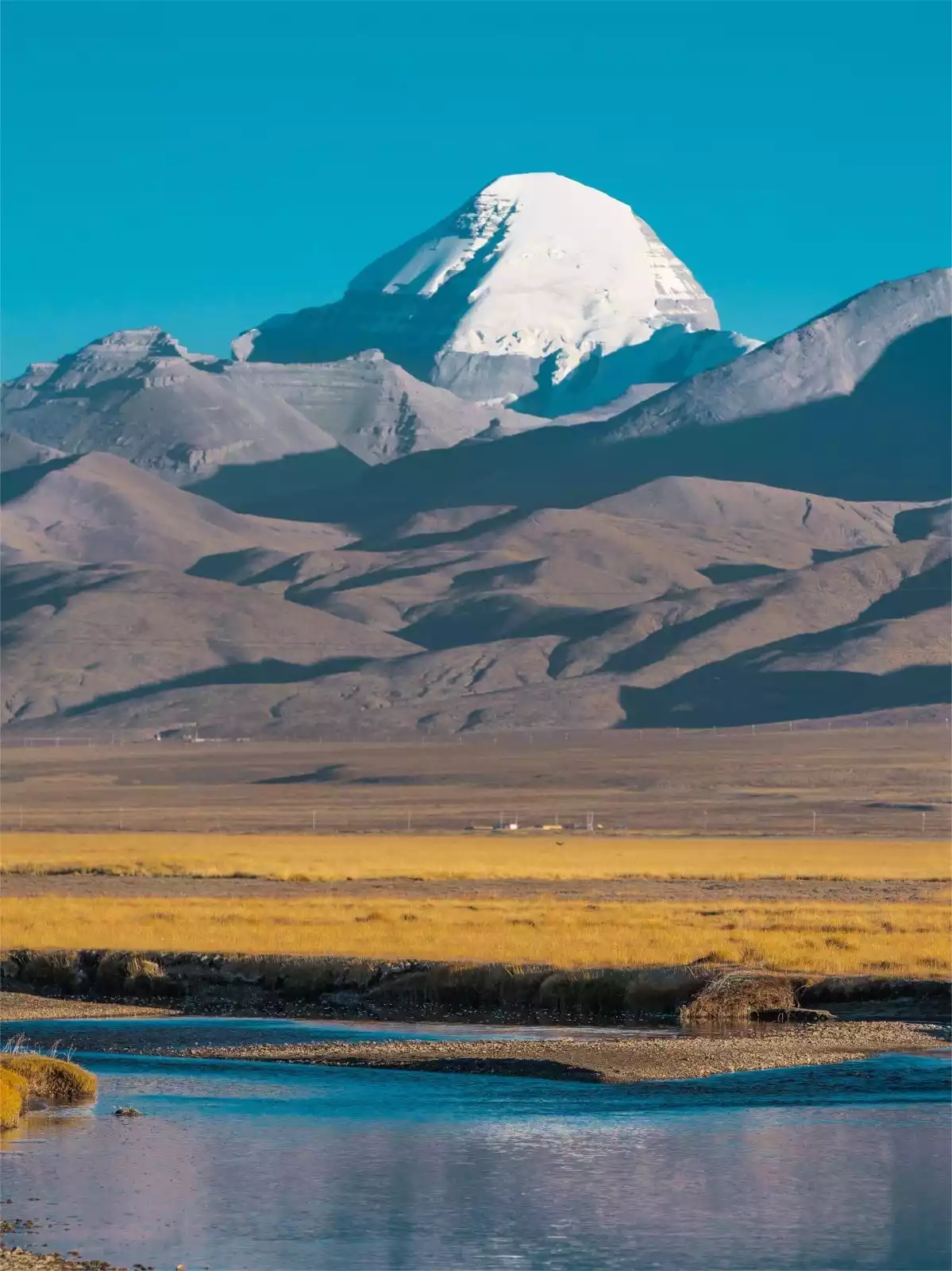
It is said that circumambulating Mount Kailash once can wash away a lifetime of sins; circumambulating ten times can save one from the sufferings of hell for 500 reincarnations; and circumambulating a hundred times will allow one to ascend to heaven and become a Buddha. Therefore, pilgrims continue to circumambulate the mountain year after year.
Tips:
Hiking distance: 55km
Duration: 10 days | 2 days hiking
Hiking difficulty: 5 stars
Altitude range: 4800-5650m
Recommended season: May-October
Circumambulate Shishapangma Mountain
Part of the Himalayan Trekking Trilogy, this is the ultimate experience of snow-capped mountains and pagoda forests. Shishapangma, at 8,027 meters, is the only 8,000-meter peak located entirely within China. Hiking the Shishapangma Circuit offers close-up views of this 8,000-meter peak and its numerous satellite peaks from multiple angles, as well as the chance to encounter jewel-like alpine lakes at the foot of the snow-capped mountains and immerse yourself in a dreamlike world of seracs.
Tips:
Hiking distance: 60km
Duration: 11 days | 7 days hiking
Hiking difficulty: 6 stars
Altitude range: 4600-5200m
Recommended season: May-June, September-October
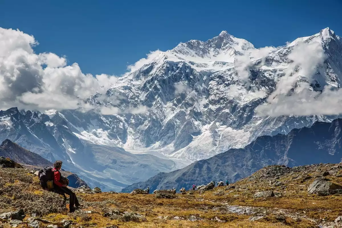
Gama Valley on the east slope of Mount Everest
One of the world's ten most scenic landscapes, walking through the Gama Valley in the Himalayas offers stunning views of five snow-capped peaks over 8,000 meters. A saying about the eastern slope of Mount Everest sums it up: "More beautiful than Wusun, more dazzling than Yubeng, more ethereal than Daocheng, more brutal than Aotai, and more violent than Langta."
Tips:
Hiking distance: 94km
Duration: 12 days | 8 days hiking
Hiking difficulty: 7 stars
Altitude range: 4000-4690m
Recommended season: June, September-October
Conclusion
Many landscapes can only be reached by hiking, and only on the road can you truly connect with the world!