Hidden Gem in Henan! Complete Guide to Baligou - A Secret Paradise Known to Only 1% of Travelers
Xinxiang Southern Taihang Mountain Tourism Resort
by Firsttime&&
Apr 6, 2025
by Firsttime&&
Apr 6, 2025

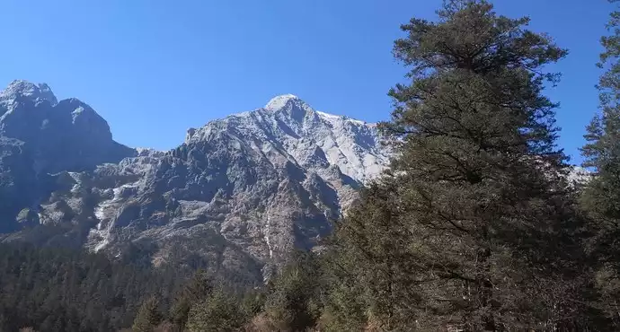
When you feel like you can't go on, go climb Taihang Mountain!
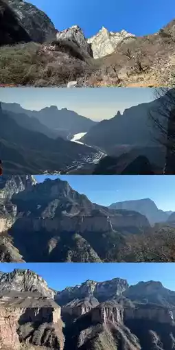
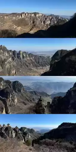
The mighty Taihang stretches for 800 miles with incredible endurance, offering magnificent scenery all along the way. The overall trail conditions are fairly easy to walk, and the intensity is not too high. Although the single-day difficulty is not as intense as the Wugong Mountain traverse, there are still some risks, especially on the first day at the Grand Canyon and on the third day when watching the sunrise and hiking at night. Snowy paths can be slippery, so always watch your step.
Itinerary:
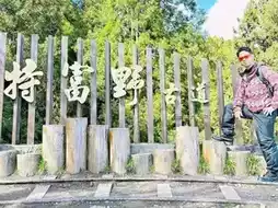
Arrive at Xinxiang Station at 6 AM, gather and carpool to Shuangdi Village to start hiking (if you want to stop at the National Geographic cover photo spot, you need to notify in advance, or it might not stop);
Start the three-day, two-night hike from Shuangdi—Baodu—Zhanggou—Hankou (watch sunrise at Shiziling), covering a total of 65 km;
On the third day, after descending, you can visit Pangdonglai in Xinxiang before heading back (near the train station).
Hiking route (download the app Liangbulu in advance)
Day 1:
Route: Shuangdi—Mawuzhai—Yixiantian—Baodu (22 km, 10:00-18:00, 1000m ascent)
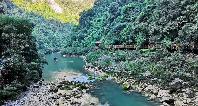
Start from Shuangdi Village, walk 2 km along the riverbed to the Hongdoushan Grand Canyon. In winter, water is scarce and there is ice, so be careful of slipping! 👟 Then there is a continuous uphill climb with a 600m ascent; arrive at Wenping convenience store at 12:00 for water and food resupply. 🍫 Continue to Mawuzhai for lunch. 🍜 At the 16 km mark, reach Yixiantian, where you need to carefully hold the iron chains to pass. At 20 km, arrive at Baodu Village, ending the first day. 👏
Day 2:
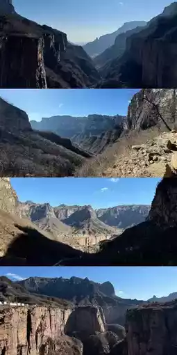
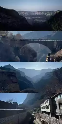
Route: Baodu—Laolongkou Waterfall—Xilian Temple—No-light Tunnel—Zhanggou (21 km, 08:00-15:00, 600m ascent)
Start from Baodu Village, walk 1 km to Laolongkou Waterfall. Early risers can catch the sunrise here, perfect for photos 📸. Continue walking along the cliffside with many photo spots along the way. At 11 km, arrive at Xilian Temple for lunch and resupply. 🍚 Then walk 2 km on a cement road, where you can choose to take a tricycle (10 yuan/person). 🚜 At 13 km, enter a dirt road and climb 300m to Jinggong Tunnel. At 17 km, reach Xiyagou Scenic Area for resupply. Near the scenic area entrance, take the left dirt road to avoid ticket checks, then walk a few hundred meters to Zhanggou. At night, you can play mahjong, sing karaoke, drink, and chat around a bonfire to beautifully end the second day.
Day 3:
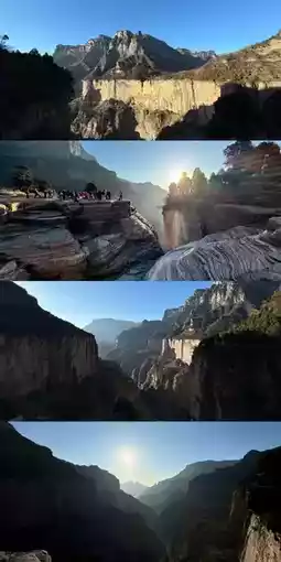
Route: Zhanggou—Shiziling—Shuangrufeng—Dishuizhai—Hankou Village (22 km, 04:00-14:00, 1100m ascent)
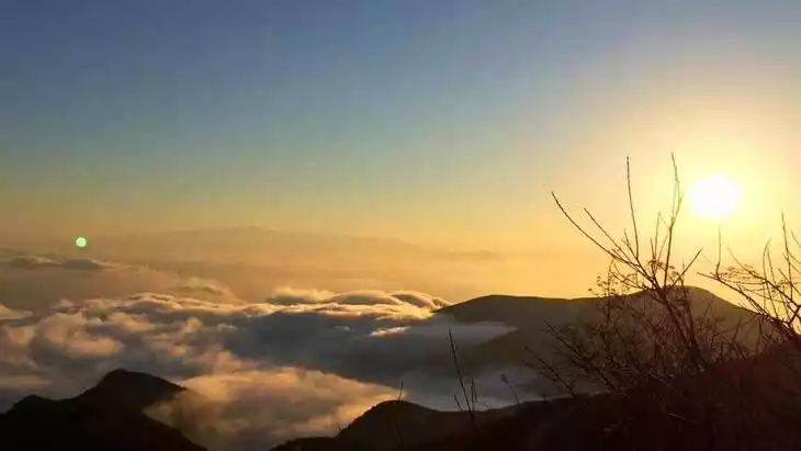
Start from Zhanggou, climb 4 km to Shiziling to watch the sunrise, ascending 700m, about 2 hours. 🌅 After watching the sunrise, return to Shiziling Inn. At 9 km, start walking along the plank road. At 13 km, reach the Kulong Mountain photo spot 📸. From 15 to 17 km is a downhill gravel path; watch your step on the loose stones and wear knee pads for the continuous descent. Arrive at Taihang Style Garden, then take a car back to Xinxiang Station, visit Pangdonglai, and end the final day.
Post by RILEY TERRY | Aug 18, 2025