
Day 1 Nanjing → Suzhou → Nanjing
06:45
06:45-07:00 Meet at Exit 1 of Andemen Subway Station and sign in.
07:00
Depart on time, with interactive onboard activities and itinerary introductions, and lots of laughter along the way!
10:00
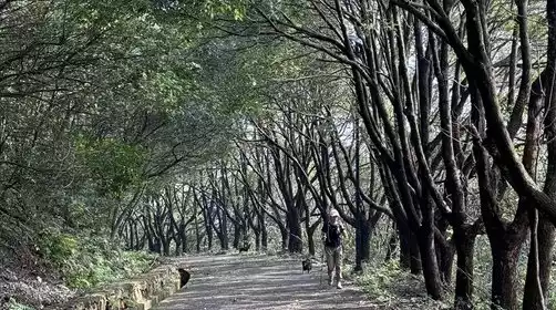
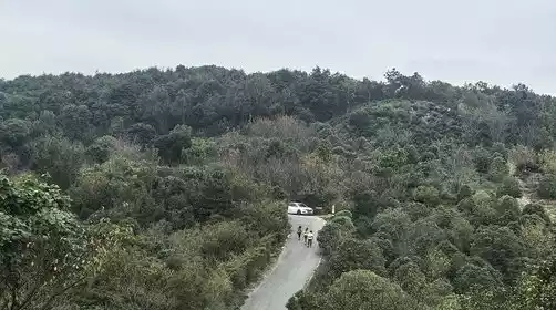
Warm up and gear up before setting off on a sprint. The hike takes about 40 minutes, passing Dengwei Mountain to Xuanmu Mountain. The initial hike allows you to adjust your physical condition and pace, so don't fall behind! Then, you'll reach Midui Mountain and ascend to its summit for a glimpse of the stunning Taihu Lake. The hike continues through the mountains, passing Changshan and the Tanshan Mine. It's a long, arduous journey, with uphill climbs and steep slopes.
12:30
Climb to the summit of Tanshan, the highest peak in the Taihu Mountains, and enjoy a panoramic view of Taihu Lake while taking a lunch break. What a delight! After a satisfying meal, let's take a photo shoot! After lunch, rest briefly before continuing on our journey.
After lunch, we continued our trek, descending Tanshan Mountain to the Tandong Village bus stop, where we could descend and take the bus back. Tourists who weren't returning continued on to Xiji Mountain and all the way to Tongjing Mountain, admiring the natural wonders of the copper well nestled in the rocky cliffs. We also overlooked the Guangfu Pagoda. At an appropriate time, we descended to Xiangxue Lake and returned to our starting point.
5:00 PM
Meet on the bus and return to Nanjing.
8:00 PM
When we returned to our starting point in Nanjing, everyone was still reluctant to leave and kissed goodbye with tears in their eyes!
There will be slight adjustments to the closing points in autumn and winter, and the specific details will be announced by the tour leader on the day!
It gets dark earlier in autumn and winter, so it's recommended to bring a headlamp! Also, bring a set of clean clothes to change into after your hike to avoid getting cold in wet clothes!