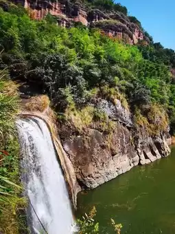
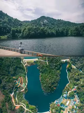
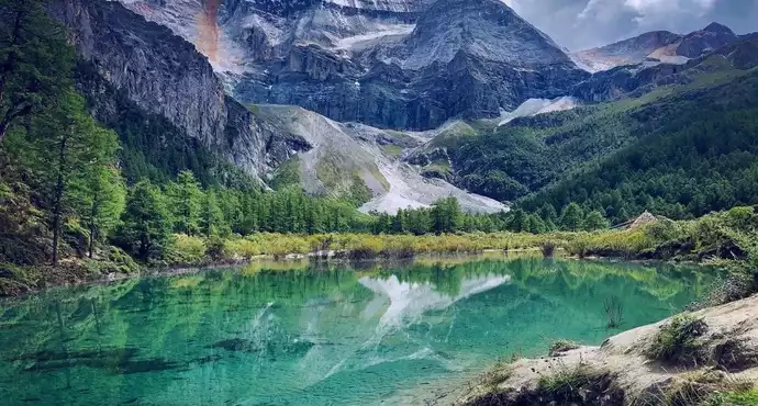
Aso Volcano, Aso Volcano Museum, Kusasenri
Aso
by Coey Chan
Aug 23, 2021
by Coey Chan
Aug 23, 2021
📍 Basic Information
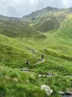
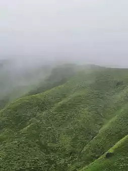
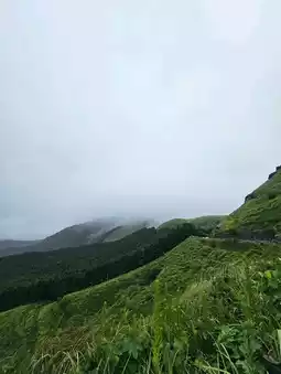
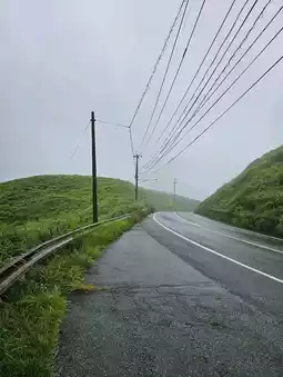
🏞 Futae Pass (Futae no Toge / 二重峠)
Address: Kuragaeri, Aso City, Kumamoto Prefecture (〒869-2234)
Pass Elevation: Approximately 671 m
Stone-paved Section: 1.5–1.6 km long, with a width of about 2–3 m. This section is part of the historic Bungo Kaido and was reportedly used as a route for the Sankin-kotai (alternate attendance system).
Parking: Space available for about 5 small vehicles and 1 large vehicle.
Highlights & Walking: A hiking course that takes about 2 hours round trip to walk to the base of the pass and back.
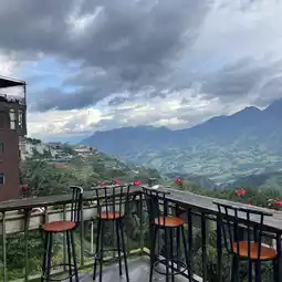
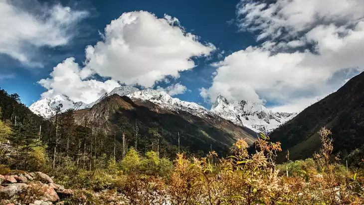
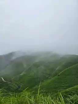
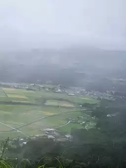
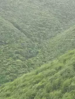
Tourist Value: Popular as a spot for viewing a sea of clouds. It is also introduced as a place where visitors can feel both history and scenery, with the stone-paved path set against the backdrop of the outer rim of the Aso caldera.
---
✨ Highlights (Brief Summary)
A historic path with preserved stone paving. The Edo-period highway remains intact, and the route once used for the Sankin-kotai system still breathes life today. On days when a sea of clouds appears, it is known as a scenic viewpoint offering a magical landscape. Perfect for those who want to savor the serene pass crossing and light trekking while immersing themselves in the original landscape of Aso.
Post by futaritabi | Sep 30, 2025