Hong Kong Island Hiking—Yim Tin Tsai to Kau Sai Chau Traverse (Part 2)
Kau Sai Chau Hung Shing Temple
by Violet.Simmons.55
Mar 27, 2025
by Violet.Simmons.55
Mar 27, 2025
Cross the Jade Belt Bridge from Yim Tin Tsai to reach Kau Sai Chau.
Kau Sai Chau has Hong Kong's only public golf course, and the area near Yim Tin Tsai is part of the golf course. Follow the small path along the edge of the golf course to reach the golf course pier (Figure 9).
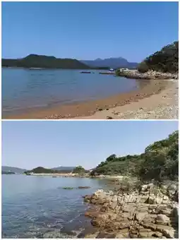
There is no path from here. You have to go down from the pier to the beach, walk along the beach (Figure 10), and then turn onto the path.
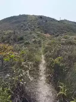
Continue along the outside of the golf course (Figure 11) to reach the hiking trail.
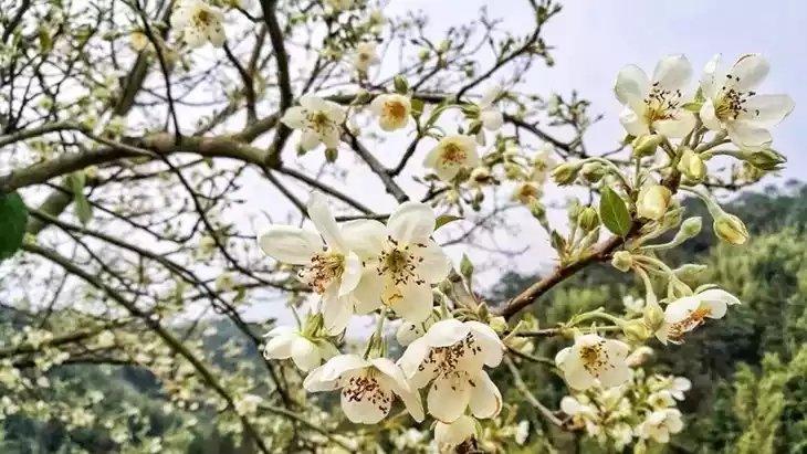
During this time, the mountain is covered with beautiful white Indian hawthorn flowers (Figure 12).
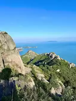
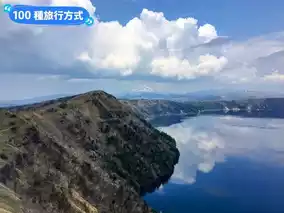
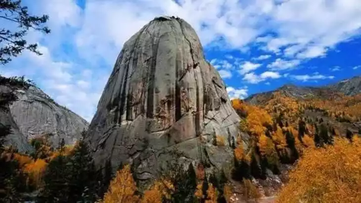
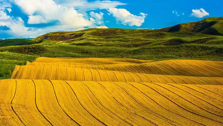
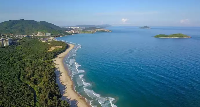
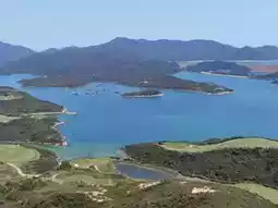
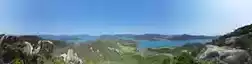
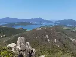
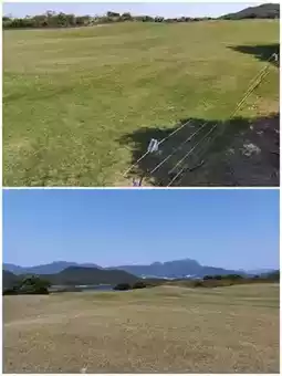
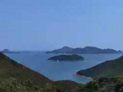
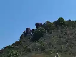
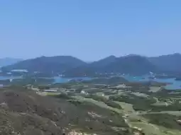
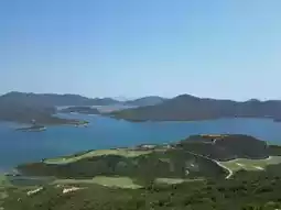
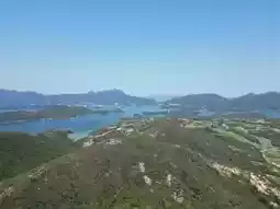
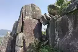
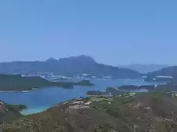
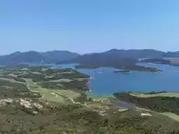
The 205-meter-high Yi Leng (Figure 13) is the closest peak to the golf course. The summit is full of strange rocks, the most famous of which is the Skylight Rock (Figure 14). Looking around from the top of the mountain, you can see the blue sea and blue sky common to islands, as well as the lush green golf course unique to Kau Sai Chau (Figures 1–8). The scenery is superb.
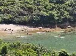
The Kau Sai Chau area is very suitable for water sports. There are many people kayaking on the sea between Kau Sai Chau and Tiu Chung Chau (Figure 16).
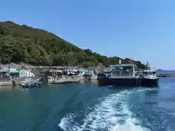
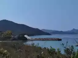
Near Kau Sai Village Pier (Figure 17), there are the Hung Shing Temple and the Japanese-style pavilion (Figure 18). Kau Sai Village is a quiet small fishing village, right next to the pier (Figure 19).
On this traverse, because we had to catch the 1pm ferry (otherwise we would have to wait until 4pm), we didn't go to Yi Leng and the Inclined Gun Stone. We'll have to save that for next time. The total length is 8.4 km, with a cumulative climb of 500m, and it took 2 hrs and 45 mins.
Transportation: Sai Kung—Yim Tin Tsai ferry ticket 40 HKD (round trip 50 HKD), Kau Sai Village—Sai Kung ferry ticket 65 HKD.
Post by Violet.Simmons.55 | Mar 27, 2025