Duku Highway is really unnecessary, China-Pakistan Friendship Road is the right choice
Khunjerab Port
by ChantOiseau444
Jun 8, 2024
by ChantOiseau444
Jun 8, 2024


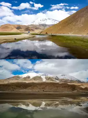


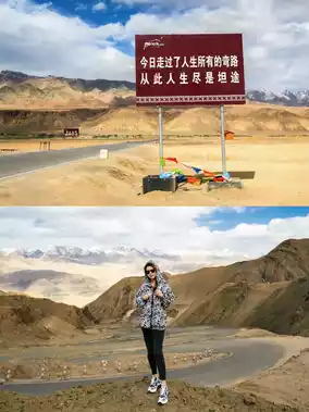
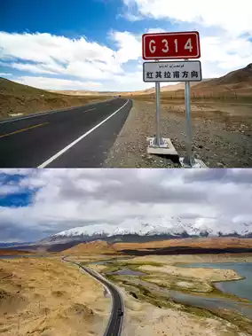
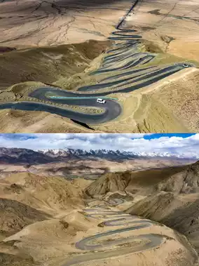
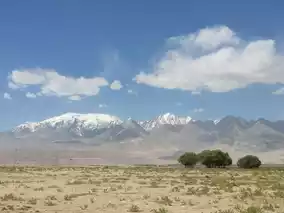
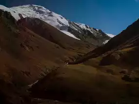
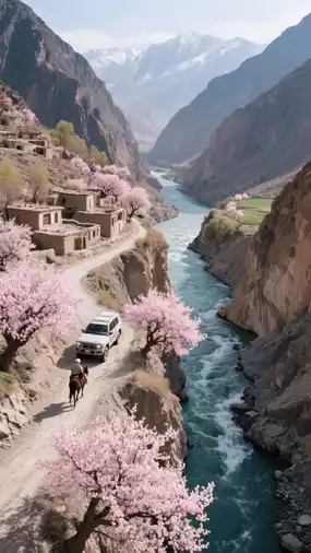
👉 Starting from Kashgar and following National Highway 314, you will pass through plateaus, snow-capped mountains, glaciers, and lakes, all the way to the westernmost point of our country, the Khunjerab Pass. This most beautiful border corridor is the Karakoram Highway, also known as the China-Pakistan Friendship Highway. One-third of it is in China (416 kilometers), and two-thirds is in Pakistan (616 kilometers).
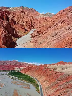
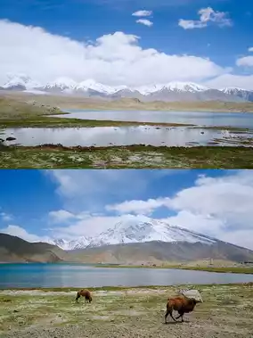
🚘 Self-drive route: Kashgar — Oytagh — White Sand Lake — Karakul Lake — Muztagh Ata — Tashkurgan Wetland — Tashkurgan County — Stone City Ruins — Jincaotan — Khunjerab Port
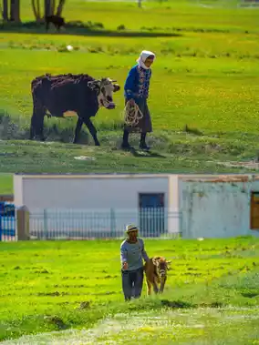
👉 Here you can find the eagles of the Pamir Plateau, visitors on the ice mountains, the origin history of the Tajik people, the ancient capital of the Pando nation 'Stone City', and the lush 'Jincaotan'.
👉 There is also the 'Tashkurgan Ancient Path' leading to the ancient kingdom of Yarkent in Shache; the 'Wakhan Corridor Road' that lies like a giant dragon on the land; and the birthplace of 'Why Are the Flowers So Red', Kaner Well Village.
⚠️ National Highway 314, the 'China-Pakistan Friendship Highway', requires a border pass in Taxkorgan County
⚠️ At the Bulungkol fork, the road to 'Muztagh Village' and its volcano crater requires a border pass
⚠️ In Tashkurgan County, the fork to the 'Tashkurgan Ancient Path' is a shortcut from Taxkorgan to Shache
⚠️ From Tashkurgan County towards Khunjerab, the fork to the 'Wakhan Corridor Road', also known as the Panlong Ancient Path, continues to Wakhan Township and then to 'Kaner Well Village', eventually returning to Tashkurgan County.
⚠️ Khunjerab requires a border pass.
Khunjerab Port
Post by Ivy567~Brook* | Jul 5, 2024