Sui Dike
What are the most recommended things to do in Sui Dike?
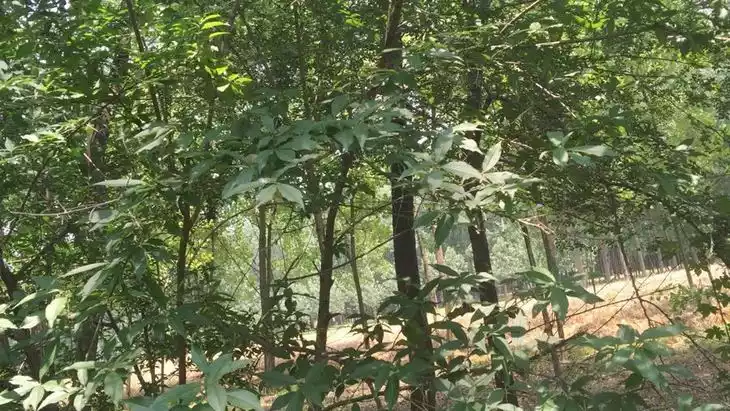
- Walk along the remaining embankment of the Sui Dike and admire the historical structure of the ancient canal embankment.
- Take photos of the stretch of the embankment with willows and peach trees, a scene once celebrated in historic poetry.
- Learn about the role the dike played in the construction of the ancient canal system during the Sui Dynasty.
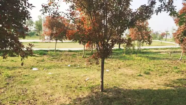
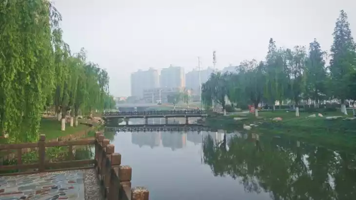
- Enjoy the rural landscape surrounding the dike — the old embankment rises slightly above the flat plain, giving a vantage point.
Introducing Sui Dike
Located in the central part of Yongcheng City, on the Zhengzhou-Yongcheng Highway, it stretches 45 kilometers from Zhengdian in Mamu Township in the west to Huzhuang in Houling Township in the east. It is a mound-like structure, rising 0.5 to 2 meters above the ground. The Ji Canal was opened in the first year of the Sui Dynasty (605 AD). Embankments were built on both sides of the canal, with peach and willow trees planted, providing a viewing platform for Emperor Yang Guang to enjoy while sailing south on his dragon boat. During the Northern Song Dynasty, it was called the Bian River. Later, the river silted up, but the embankment remains. This is a relatively visible section of the old embankment. In the past, "Sui Dynasty Embankment with Smoke and Willows" was one of the eight scenic spots in Yongcheng.
The Sui Dynasty embankment is located on the old course of the Bian River between Shangqiu and Yongcheng. In the first year of the Sui Dynasty (605), the Ji Canal was opened, and embankments were built on both sides, with peach and willow trees planted, for Emperor Yang Guang of the Sui Dynasty to admire during his dragon boat trips south of the Yangtze River. The river is now submerged, but the embankment remains.
Sui Dike, the name of an ancient dike, originally meant the dike of the Grand Canal during the Sui Dynasty. The site is located on the old course of the Bian River between Shangqiu City and Yongcheng City, passing through Xiayi in the west and connected to the Bian Road in the east and Taiqiu in the east. [1] Because it was built in the Sui Dynasty, it is named after it. In the first year of Emperor Yangdi of the Sui Dynasty, the Tongji Canal was opened, diverting Gushui and Luoshui from Xiyuan into the Yellow River; diverting the Yellow River from Banzhu into the Bianshui River, passing through Sishui River and reaching the Huai River; and the Han Canal was opened, from Shanyang to Yangzi River and into the Yangtze River.
Climate and best time to travel
The temperate monsoon climate makes it suitable for travel in all four seasons.
Recommended number of days and locations for visiting
The canal is 40 steps wide, with an imperial road built alongside. Willows are planted in rows lining the water, stretching from the Yellow River in the west to the Huai River in the east, creating a scene of green shadows. Bai Juyi of the Tang Dynasty wrote in his poem "Willows on the Sui River Embankment": "The willows on the Sui River embankment, ageless and decaying, fluttering in the wind and rustling in the rain, three or two trees stand at the mouth of the Bian River." Liu Yuxi of the Tang Dynasty wrote in his poem "Willow Catkins": "Where is the wind, like snow, at the ancient Jiangjin on the Sui River embankment." He Guangyuan of the Later Shu Dynasty wrote in "Jianjinglu: Sounds of the Fallen State": "When Emperor Yangdi was about to visit Jiangdu, he opened the Bian River and planted willows. To this day, it is called the 'Sui River Embankment.'" Zhou Bangyan of the Song Dynasty wrote in his lyric "Prince Lanling": "On the Sui River Embankment, I have seen them many times, their graceful farewells swaying on the water." A leisurely stroll along the embankment allows you to appreciate the charm of the ancients.
It is recommended to play for about 2 hours.
Tickets
free
Attraction opening hours
Open all day
Most Popular FAQs for Sui Dike
What is the history and significance of this attraction/city?
The Sui Dike is an ancient embankment built in the first year of the Sui Dynasty (605 AD) alongside the Ji Canal and the Bian River course in what is now eastern Henan (between Shangqiu and Yongcheng). It marked a key engineering and transport structure of the time.
Where is it located and how do I get there (metro, bus, taxi, walking)?
The dike is located on the old course of the Bian River between the cities of Shangqiu and Yongcheng, passing through Xiayi to the west and other localities.
Getting there:
- By taxi or ride-share from Shangqiu or Xiayi County is the most direct.
- By local bus/minibus toward the old canal area in Xiayi/Sui County region; walking from the bus stop along the embankment path.
What are the opening hours and best times to visit?
- The site is outdoors and accessible all day.
- Best times: Morning or late afternoon when lighting brings out texture of embankment; visit on a weekday for fewer visitors.
What is the entrance fee/ticket price, and how to buy tickets (online/offline)?
Admission: Free — there is no ticket fee reported for visiting the Sui Dike embankment.
Do I need to book tickets in advance, and how far in advance?
Not required — since the site is free and outdoors, no advance booking is needed.
How much time is needed to fully explore it?
Plan around 1 to 2 hours to walk along a visible section of the embankment, take photos and soak in the historic atmosphere.
What are the must-see highlights or main areas inside?
- The raised embankment (mound-like structure) of the Sui Dike, rising 0.5–2 m above ground.
- The rows of willow or peach trees planted historically along the dike, which were celebrated in Tang poetry.
- The old canal’s alignment and the flat surrounding plain which gives context to the dike.
Are guided tours or audio guides available (and in which languages)?
No widely published guided tours or audio guides are indicated specifically for this embankment. Visitors may need to explore independently or with a local guide if available.
What are the best viewpoints or photography spots?
- Side view of the elevated embankment stretching across the flat field — especially good at golden hour.
- Under the willow/peach-trees along the embankment path for aesthetic frames.
- From one end of the embankment looking along its length for perspective of the mound-like rise.
What is the recommended route or itinerary inside?
- Start at a visible east/west section where the embankment is clear → Walk along the top or side path of the dike → Pause under trees for rest/photos → End at a viewpoint overlooking the plain and dike line.
Are night visits, light shows, or special tours available?
No specific night tours, light shows or special events are advertised for this site. Best visited during daylight hours.
Is it crowded, and when are the least crowded times/days to visit?
The site is typically lightly visited since it is more of a historic landscape than a major tourist “theme” park. Visit weekdays and early morning for the fewest people.
What facilities are available (toilets, food, water, rest areas, shops)?
Since this is a mostly outdoor and historic embankment, visitor facilities may be limited. Visitors should bring water and snacks. Check local signage for rest areas. (No specific facility list found.)
Is the attraction accessible for elderly, children, or disabled visitors?
The embankment is low-rise (0.5-2 m) and runs across flat terrain, making it reasonably accessible for families and elderly who can walk a gentle path. However, if there are no dedicated paths or railings, accessibility for wheelchair users may be limited — check onsite conditions.
Is cash needed or are cards/mobile payments accepted?
Since there is no admission fee and no major commercial services listed, cash or payments are likely not needed specifically for entry. For any local vendors (snacks, photos), mobile payments (WeChat Pay/Alipay) would likely be accepted in the region.
What restaurants or cafes are available inside or nearby?
Near the village or rural area around the embankment, local eateries may serve Henan-style cuisine. Since the site is rural, facilities may be modest; plan to eat in the nearby town (e.g., Xiayi or Yongcheng) after your visit.
Are there vegetarian/vegan/halal food options?
Yes — local restaurants in Henan generally offer vegetable dishes, tofu, noodles. Halal options may be present in larger towns nearby, but may be limited in rural spots around the embankment.
What hotels or accommodations are close to the site?
Accommodations would be best found in nearby towns such as Xiayi County or Yongcheng City (Henan) where mid-range or budget hotels exist. Staying overnight in a larger town provides more comfort.
What other attractions or landmarks are nearby and easy to combine in a day trip?
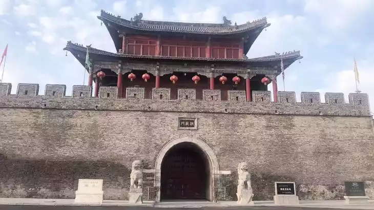
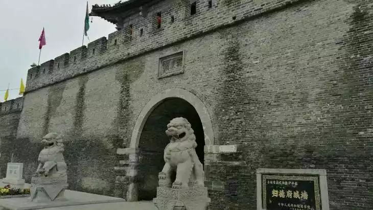
- The ancient city and culture tourism region of Shangqiu Ancient City in the same prefecture.
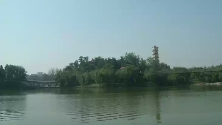
- Historic canal- and water-way landscapes linked to the Grand Canal system in eastern Henan.
Are there souvenir shops and what are the typical souvenirs?
Souvenir availability at rural heritage sites may be limited. In nearby towns, you might find postcards, local craft items (e.g., willow weaving from Shangqiu region) and books about the canal history or local heritage.
What are the best transportation options to continue the trip after visiting?
After visiting the embankment, you can take a taxi or bus back to your base town (Xiayi, Yongcheng or Shangqiu) and from there continue by high-speed train or long-distance bus to other Henan destinations. For example, Shangqiu railway station serves as a regional hub.