Buha River
What are the most recommended things to do in Buha River?
- Take a scenic walk along the riverbanks and enjoy the natural landscapes.
- Photography of the river, surrounding mountains, and Tibetan pastoral scenes.
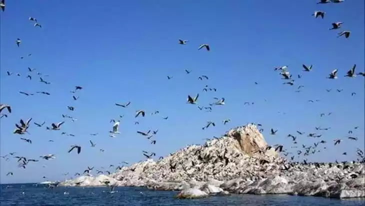
- Birdwatching and observing local wildlife in the area.
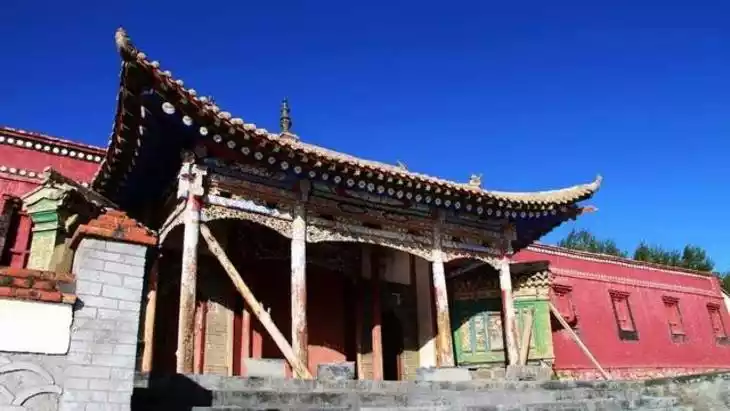
- Experience local Tibetan culture by visiting nearby villages and interacting with residents.
- Picnicking or relaxing in serene spots along the river.
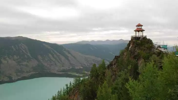
- Hiking in nearby hills and exploring the natural surroundings.
Introducing Buha River
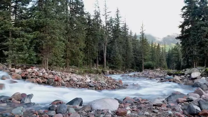
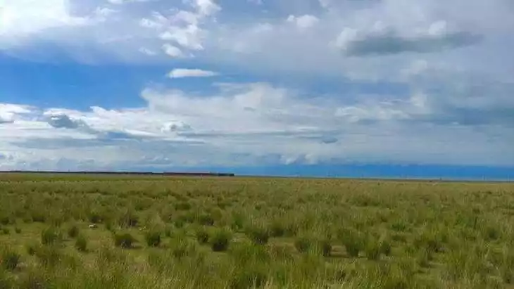
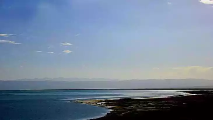
The Buha River, meaning the river where yaks are raised, originates from the Gangger Xueheli Ice Peak in the southern Shule Mountains. The upper section of the river is called the Xiarige River in Tibetan scriptures, and the lower section is called the Buha River.
The Buha River is the largest river in the Qinghai Lake Basin. It originates from the Namujimuling Mountain in Shagulin, Tianjun County, flows southeast, gradually turns to southeast-east in Narizong, passes through Tianjun County, and flows into Qinghai Lake near Bird Island.
The Buha River is one of the largest rivers flowing into Qinghai Lake, with a total length of 228 kilometers. It gathers clear springs from snow-capped mountains and trickles from grasslands, winding around mountains and ridges.
Climate and best time to travel
The climate of Haibei Tibetan Autonomous Prefecture is a plateau continental climate with long cold periods and short warm and cool periods. It has abundant sunlight, strong solar radiation, distinct dry and wet seasons, rainy and hot seasons in the same season, and frequent night rains and strong winds.
Recommended number of days and locations for visiting
It is recommended to play for ten minutes
Most Popular FAQs for Buha River
What is the history and significance of this attraction/city?
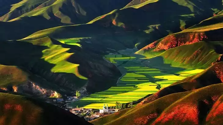
Buha River is an important river in the Haibei Tibetan Autonomous Prefecture, known for its ecological significance and cultural ties to local Tibetan communities. It supports agriculture and pastoral life in the region and is valued for its pristine natural scenery.
Where is it located and how do I get there (metro, bus, taxi, walking)?
Buha River is located in Haibei Tibetan Autonomous Prefecture, Qinghai Province. Visitors typically reach it by taxi or private car from nearby towns. Public transportation is limited, so a guided tour or self-drive is recommended.
What are the opening hours and best times to visit?
The river area is open year-round. The best time to visit is from May to September when the weather is mild and the scenery is at its most vibrant.
What is the entrance fee/ticket price, and how to buy tickets (online/offline)?
Visiting Buha River is generally free, as it is a natural area. Access to nearby cultural or ecological parks may require a small fee, payable on-site.
Do I need to book tickets in advance, and how far in advance?
Booking is usually not required unless visiting specific protected or managed areas near the river. For guided tours, booking a few days in advance is recommended.
How much time is needed to fully explore it?
Half a day to a full day is sufficient to enjoy the main scenic spots and experience the local culture along the river.
What are the must-see highlights or main areas inside?
- Riverbanks with pastoral landscapes and Tibetan settlements.
- Nearby hills for panoramic views of the river valley.
- Wildlife observation spots along the river.
Are guided tours or audio guides available (and in which languages)?
Local guided tours are available, typically in Chinese and sometimes in English. Audio guides are generally not provided.
What are the best viewpoints or photography spots?
- High points along the river for panoramic shots of the valley.
- Bridges or clearings along the riverbanks.
- Traditional Tibetan villages near the river.
What is the recommended route or itinerary inside?
Start at the main access point, walk along the riverbanks toward nearby Tibetan villages, stop for photography and wildlife observation, then hike to nearby hills for panoramic views before returning.
Are night visits, light shows, or special tours available?
Night visits are generally not recommended due to limited lighting. Special cultural tours may be arranged with local guides during festivals or events.
Is it crowded, and when are the least crowded times/days to visit?
The area is generally quiet, with few tourists. Weekdays and early mornings offer the most serene experience.
What facilities are available (toilets, food, water, rest areas, shops)?
Facilities are limited. Some local villages offer small eateries and basic restrooms. It is advisable to bring water and snacks.
Is the attraction accessible for elderly, children, or disabled visitors?
Parts of the river are accessible for elderly and children, but uneven terrain may challenge disabled visitors. Walking aids are recommended if needed.
Is cash needed or are cards/mobile payments accepted?
Cash is preferred for small purchases and local services. Mobile payments are limited in rural areas.
What restaurants or cafes are available inside or nearby?
Local Tibetan-style eateries are available near villages, offering simple meals like yak meat dishes and butter tea.
Are there vegetarian/vegan/halal food options?
Vegetarian options are limited. Halal and vegan choices may be available in Tibetan villages, but it’s recommended to inquire locally.
What hotels or accommodations are close to the site?
Small guesthouses and Tibetan-style lodges are available in nearby towns and villages. Some homestays offer cultural experiences.
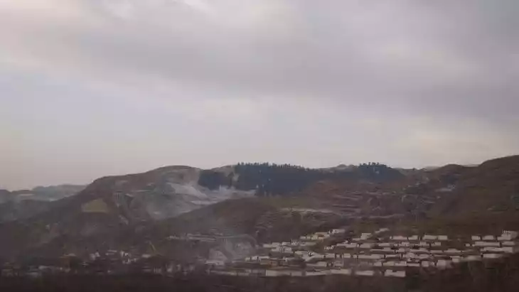
What other attractions or landmarks are nearby and easy to combine in a day trip?
- Dayu Tribe cultural site.
- Daban Mountain Observation Deck.
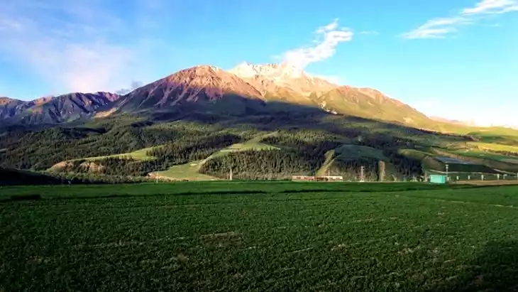
- Local grasslands and Tibetan pastures.
Are there souvenir shops and what are the typical souvenirs?
Souvenir options are limited. Typical items include Tibetan handicrafts, jewelry, prayer flags, and local wool products.
What are the best transportation options to continue the trip after visiting?
Taxis or private cars are the most convenient. Local tours often provide transportation to nearby scenic spots and villages.