I want to recommend the autumn scenery of Qinling Mountains to the whole world.
Qin Ling
by TravelMaverick
Sep 14, 2024
by TravelMaverick
Sep 14, 2024

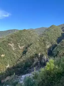

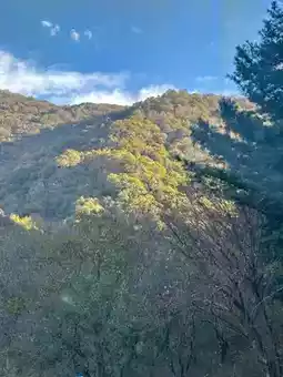

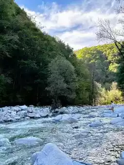


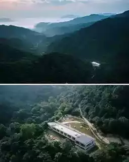
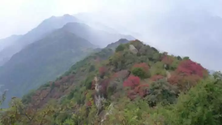
| Taiyang Highway. ◾️Taiyang Highway refers to the section of road from Taibai County in Baoji to Yang County in Hanzhong (shown as Taimo Road on the map). It crosses the core of the Qinling Mountains, passing through Xiaoguangzi, Daguangzi, Xiaohuashan, alpine meadows, and Dalingzi Sea of Clouds, before reaching Huangbaiyuan Scenic Area. It then passes Erlangba and follows the Xushui River down to Huayang Ancient Town in Yang County. The fall scenery along the way is beautiful.
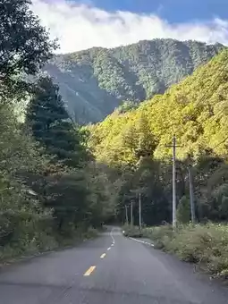
◾️Taiyang Highway (Taibai County–Yang County) is 190 km long and is one of the most beautiful rural roads in the Qinling Mountains. It is the junction of Taibai Mountain, the highest peak in the Qinling Mountains, and Aotai Mountain, the second highest peak, and is the starting point for hikers on the Aotai Line. Huangbaiyuan Scenic Area is the core of the Qinling Mountains, with a landscape of rolling hills, northern scenery, and southern charm. We planned to travel from Fufeng County to Huangbaiyuan Town, but we could only travel part of the way. The road is complex, mostly mountainous, and quite rugged, so we couldn't drive fast. There were few cars and people along the way.
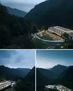
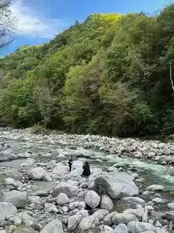
◾️We stopped along the way, by streams and in canyons, where clear water flows through the canyons, the mountains are beautiful, the water is clear, and the vegetation is rich. We breathed in the fresh air and listened to the chirping of birds. The vegetation on the mountains on both sides of the canyon looked particularly peaceful in the sunlight. As it was not yet late fall, there were no colorful forests, and the scenery was plain, so we changed our plans and returned to Taibai County to stay overnight. We turned back at 4 pm, feeling a little regretful.
Post by AdventurousJourneyer | Jan 21, 2025