Zheduo Mountain: The First Gateway to Tibetan Civilization
Zheduo Mountain
by 大脚驿站
Nov 3, 2025
by 大脚驿站
Nov 3, 2025

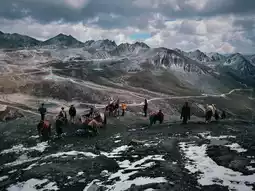
Zheduo Mountain, known as the "First Pass of Kham," is a significant landmark on the G318 Sichuan-Tibet Highway. A local saying goes, "Terrifying Erlang Mountain, exhausting Zheduo Mountain," vividly illustrating its reputation among travelers.
1. Key Highlights and Significance
Geographical Divide: It serves as a crucial geographical boundary between the Sichuan Basin and the Qinghai-Tibet Plateau. Crossing Zheduo Mountain marks the true entry into the Kham Tibetan region "beyond the pass."
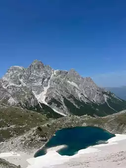
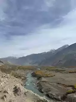
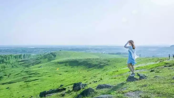
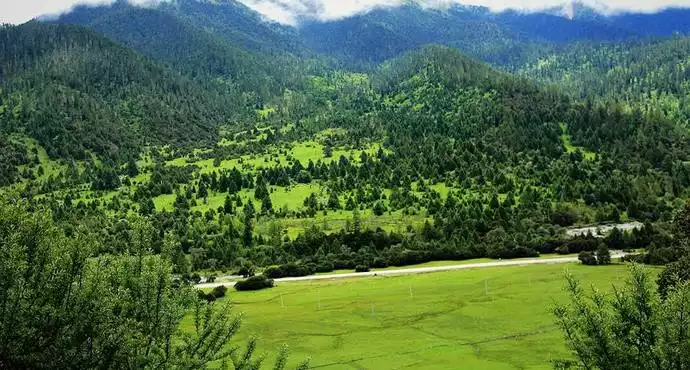
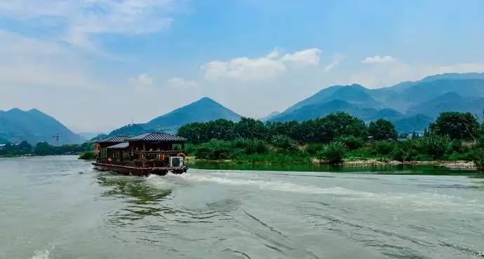
Scenic Watershed: The eastern side features steep canyon landscapes with abundant rainfall and lush forests, while the western side showcases typical plateau scenery with gentle terrain, expansive meadows, and open vistas.
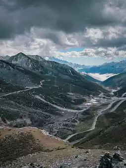
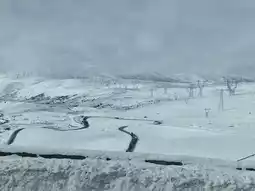
"Nine Turns and Eighteen Bends" Road Wonder: The winding mountain road twists and turns like the Chinese character "多" (duo), hence the name "Zheduo." The aerial view is breathtaking.
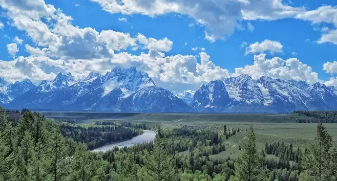
Summit Scenery: At the 4,298-meter-high summit, visitors can enjoy a distant view of the majestic Gongga Snow Mountain, making it an ideal spot for photographing snow-capped peaks and prayer flags.
2. Accurate Information and Precautions (Critical)
Elevation and Transportation:
Zheduo Mountain Summit: Elevation 4,298 meters. This is the highest point on the traditional G318 National Highway.
Zheduo Mountain Tunnel: Recently opened, this ultra-long tunnel at an elevation of approximately 3,800 meters significantly reduces travel time and enhances winter driving safety by bypassing the steep 4,298-meter summit. However, the old summit road remains open for sightseeing, though road conditions and winter accessibility should be confirmed in advance.
Altitude Sickness Prevention:
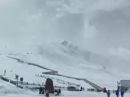
First High-Altitude Challenge: Zheduo Mountain is often the first point above 4,000 meters for many travelers, making altitude sickness a common issue.
Guidelines: Avoid running, jumping, or shouting at the summit; move slowly and deliberately.
Essential Supplies: Portable oxygen bottles, glucose, and warm water. Prolonged stays at the summit are not recommended.
Weather and Road Conditions (Highly Important):
"Four Seasons in a Day": The weather is unpredictable, with sudden rain, hail, or fog even in summer.
Strong Recommendation: Always check real-time road and weather conditions before departure.
3. Touring and Photography Tips
Summit Sightseeing (if the old road is open):
Prayer Flag Forest: The massive array of fluttering prayer flags creates a stunning and iconic Tibetan scene.
Viewing Platform: On clear days, the platform offers views of the Gongga Snow Mountain peaks to the west and the winding road to the east.
White Stupas and Mani Stones: Experience the rich religious atmosphere.
Photography Tips:
Classic Spots: Capture the snow-capped mountains and fluttering prayer flags at the summit.
Aerial Shots: If using a drone, the aerial view of the "Nine Turns and Eighteen Bends" road is incredibly striking (ensure safe operation and compliance with regulations).
Lighting: Morning light is better for photographing the eastern mountains and roads, while afternoon light is ideal for capturing the western plateau scenery and sunset over Gongga (if visible).
4. Practical Tips
Restrooms: Public restrooms are available at the summit but are basic and usually charge a fee.
Clothing: Regardless of the weather at the base, bring warm clothing (e.g., a down jacket or windbreaker) as the summit is extremely windy and feels much colder.
Mindset: Be prepared for potential traffic jams, road closures, and sudden weather changes.
Post by 大脚驿站 | Nov 3, 2025