Taiwan Wugu Guanyin Mountain Hiking Trail
Guanyin Shan Scenic Area
by SwC_TW
Oct 16, 2023
by SwC_TW
Oct 16, 2023
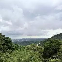
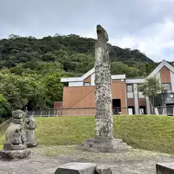
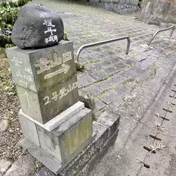
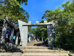
Guanyin Mountain is located at the junction of Wugu, Bali and Linkou districts. The entire district has 18 consecutive peaks and spectacular terrain. Guanyin Mountain is composed of igneous rocks. When viewed from the north bank of Tamsuikou, it looks like a Guanyin lying on the bank of the Tamsui River. Climbing the mountain to look at the sea, with clouds lingering in the mountains from time to time, it also looks like "fog coming out of the mountains", which is one of the eight ancient Tamsui scenic spots. Guanyin Mountain is the northwesternmost volcano of the Datun Volcanic Group. It was formed by volcanic activity caused by the Philippine Plate sinking beneath the Eurasian Plate. Its eruption began about 600,000 years ago and ended 200,000 years ago. The magma ejected by the volcanic activity formed basalt and andesite after cooling. Andesite has been often used for construction and sculpture since the Qing Dynasty because of its harder and denser texture than basalt. It is commonly known as "Guanyin Stone".
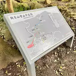
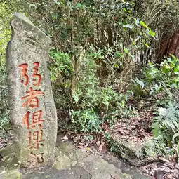
There are seven hiking trails in Guanyin Mountain, including Linshao Trail, Niugangling Trail, Yinghanling Trail, Fengguidouhu Trail, Fulongshan Trail, Niuliaopu Trail and Jianshan Trail.
The most recommended trails are Niuliaopu Trail and Yinghanling Trail
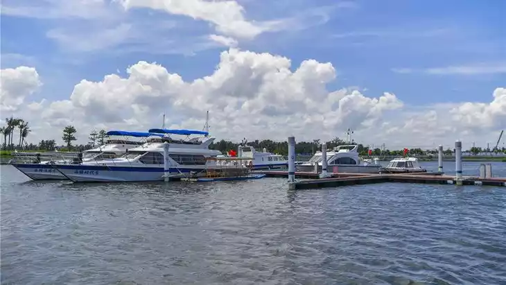
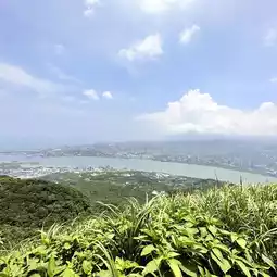
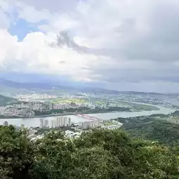
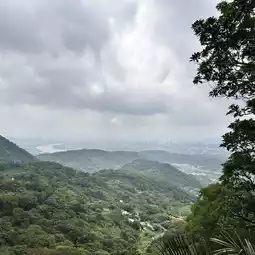
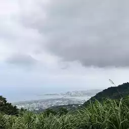
Niuliaopu Trail - About 907 meters long, it connects with the Yinghanling Trail. It goes down steeply from the right side of the pavilion at the fork in the road and is known for its 1,300 steps. About 100 meters away, there is a fork in the road that extends to the "People's Paradise" built by mountain friends on the saddle. From the platform, you can overlook the mouth of the Tamsui River and the Datun Volcanoes on the other side of the river. Climb down the steps on the right side of the People's Paradise, and about 300 meters away is the "Ivory Stone Observation Deck", which has a very broad view and can overlook Tamsui Fisherman's Wharf, Fort San Marco, Bali Ferry Terminal and Tamsui Old Street.
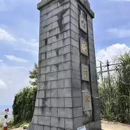
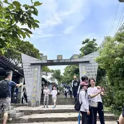
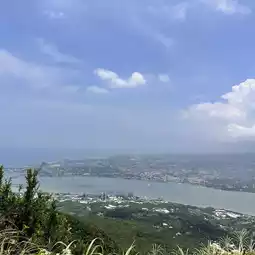
The Hard Man Ridge Trail is about 1,563 meters long and has two entrances. The main entrance is about 100 meters below the Kaishan Temple of Lingyun Zen Temple. The other entrance is located at the end of the Fenggui Douhu Trail, which can be connected to the Hard Man Ridge Trail at 940 meters. Going up to the highest point, the Monument Observation Deck, which is 616 meters above sea level, you can see Taipei 101, the Grand Hotel, the Guandu Bridge, the Tamsui River Estuary and other beautiful scenery. The 270-degree wide field of view is an excellent place to enjoy the night view.
#Local Tour #Hiking #Mountain Climbing
Post by SwC_TW | Oct 16, 2023