Live Your Best Lives
Friendly reminder:
(There are many pictures in this travelogue video, reading is very data-consuming, please watch it under WiFi, feel free to do so!!) After clicking on this travelogue with your mobile phone, the videos and pictures need to be cached for a few minutes before they are all displayed, please be patient. If you watch on a computer, it should be smoother and more convenient than watching on a mobile phone.
A trip to the snowy mountains, looking for the last Shangri-La
Life is in a hurry, you must stop at the right time to rest, enjoy the scenery, reminisce about life, and then move on. Nearly four months have passed since the return of the Sichuan-Yunnan Grand Ring Road in July 2020, and we finally have time to summarize our journey.
2020 is destined to be an extraordinary year, and when we set off in July, domestic inter-provincial group travel had not yet been liberalized, but personal travel was basically not affected. This year is just in time for our country's college entrance examination to be postponed by a month, and the summer tourism season has not yet started in early July, which is one of the reasons why we choose to travel at this time. In addition, there is another important reason that this year is also the graduation season for girls, and we want to use a special trip to give a meaningful graduation gift to our daughter. Due to the epidemic, after the winter vacation this year, the college students did not return to school, but took online classes at home, and the daughter was mainly interning and preparing for her graduation project in the first half of the year, and successfully graduated at the end of June. Although I graduated from college, I didn't hold a graduation ceremony, and I didn't go back to school to take graduation photos wearing a bachelor's hat. Therefore, pack your bags, relax, take the clouds with you, and then add some fuel and energy before setting off.
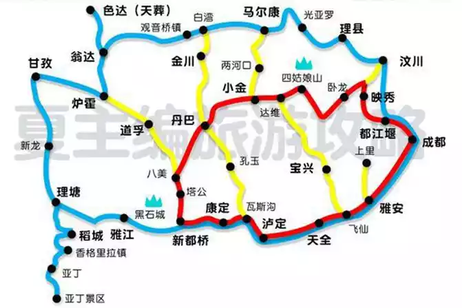
Sichuan-Yunnan Grand Ring Road - starting from Chengdu, Sichuan Province via National Highway 318 to Daocheng Aden, then from Daocheng Aden to Diqing, Yunnan via Xiangcheng, and then returning to Chengdu via Lijiang and Lugu Lake to Xichang, this travel ring line has a total of 2,400 kilometers, successively passing through the western Sichuan Plateau, Hengduan Mountains, Xiaoliangshan, Daliangshan areas, After passing through nearly 10 high mountains of about 4,000 meters, countless tunnels, countless eighteen bays, two crossings of the Dadu River, two crossings of the Yalong River, and three crossings of the Jinsha River, it is a relatively hard but beautiful journey. Summarize in 8 words: high mountains and dangerous roads, few people and beautiful scenery. In addition, we have saved a lot on tickets for this trip. One is that the epidemic has encountered the off-season of tourism, and the tickets for scenic spots are basically half price, and the other is that because of the special contribution of medical staff this year, the scenic spots are basically free for medical staff, and what touches us even more is that we also enjoy the free policy of medical staff with their families in the beautiful city of Aden.
Shangri-La first appeared in British writer James Hilton's famous novel "Lost Horizon " in 1933, and was later made into a movie of the same name and won a number of Oscars, making it well-known and desirable to the world.
Shangri-La, transliterated from the Tibetan word "Shambhala", which means "sun and moon in the heart". There are actually three Shangri-La in this article, one is Shangri-La City (formerly Zhongdian County), the capital of Diqing Tibetan Autonomous Prefecture in Yunnan Province, located in the northwest of Yunnan Province, the hinterland of the Hengduan Mountains on the Qinghai-Tibet Plateau, and the junction of Yunnan, Sichuan and Tibet provinces and regions. One is the location of the Sichuan Daocheng Aden Scenic Area - Shangri-La Town, Daocheng County, Sichuan Province (formerly Riwa Township), located in the south of Daocheng, the famous Aden Scenic Area has three sacred mountains: Xian Nai Ri, Yang Mai Yong and Xia Nuo Dorji. Daocheng-Aden is known as the "soul of Shangri-La" and "the last Shangri-La", and is "the last pure land on the aqua blue planet". The film "Passing by Your World" presents the fascinating beauty of Daocheng Aden, do you remember that classic line? "There is a place called Daocheng, and I want to go there with my dearest person! Look at the white snow-capped mountains and watch an autumn fairy tale, as long as you are the last.
Itinerary
Day 0 Arrive in Chengdu on July 7 to prepare for departure
Day 1 July 8 Chengdu - Luding Bridge - Xindu Bridge Looking for red memories
Day 2 July 9 Xinduqiao - Litang - Daocheng Moving forward on the plateau
Day3 July 10 Daocheng Aden Short-term purgatory of the body Heaven of the soul
Day 4 July 11 Inagi Aden Long line Purgatory of the body Heaven of
the mind Day 5 July 12 Daocheng Aden - Jinsha River Bend - Balagzong Difficult journey
in the alpine canyon Day 6 July 13 Balagzong Mysterious Shambhala
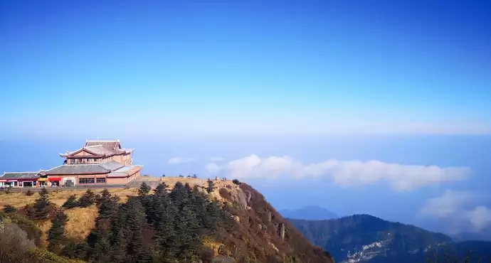
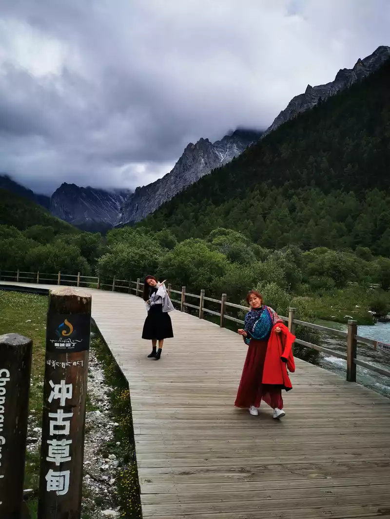
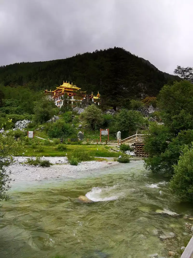
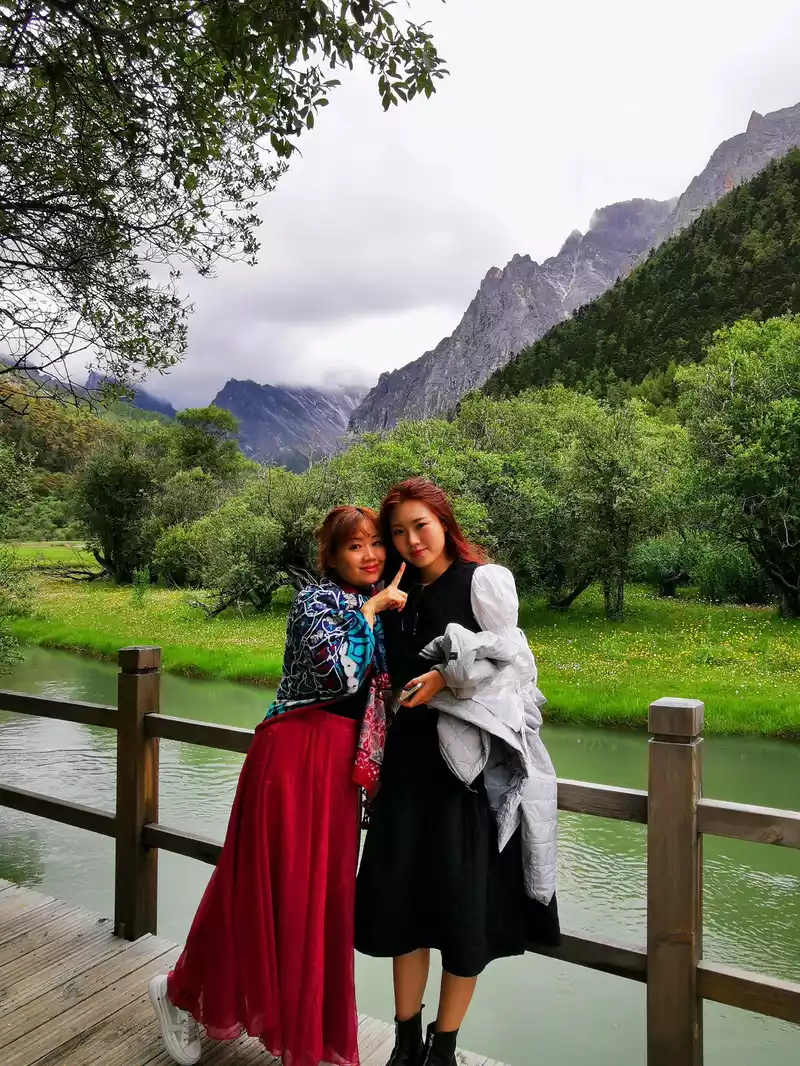
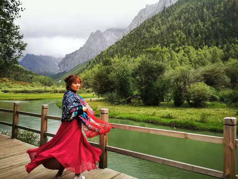
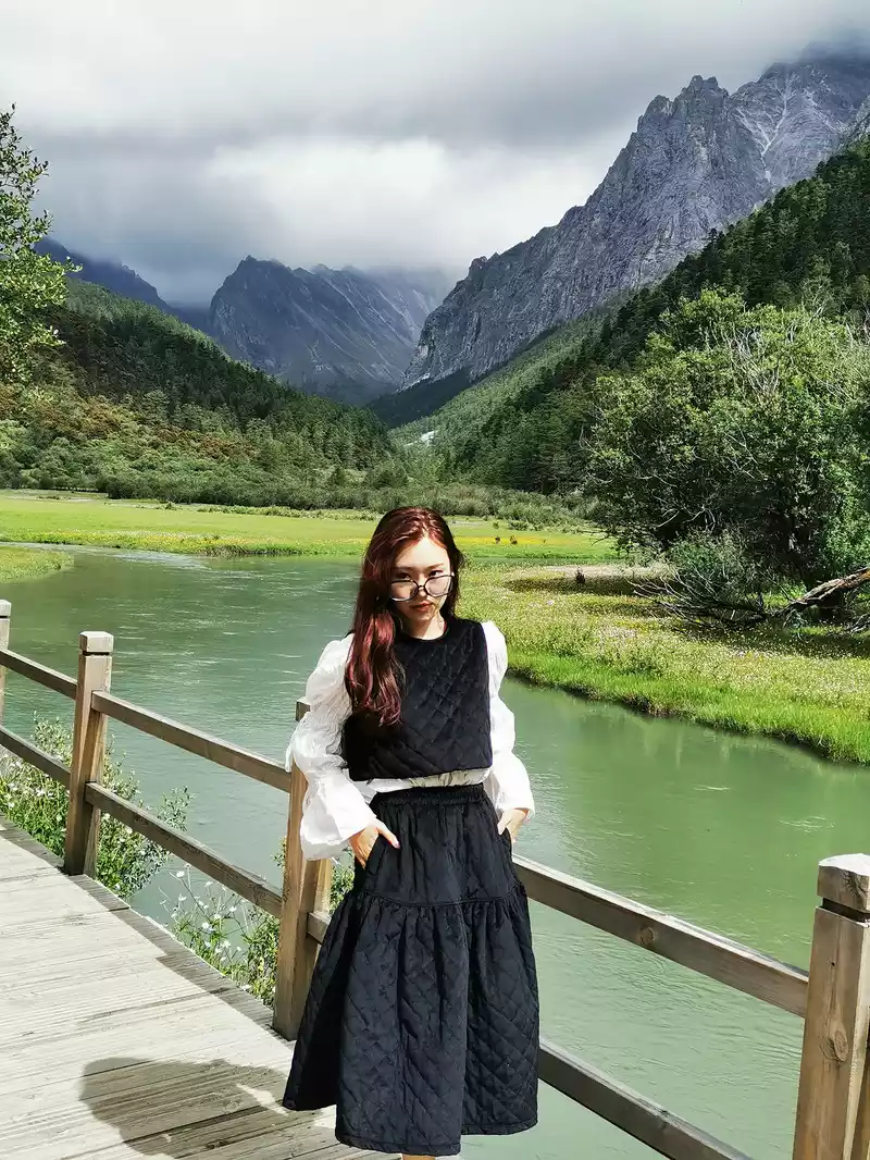
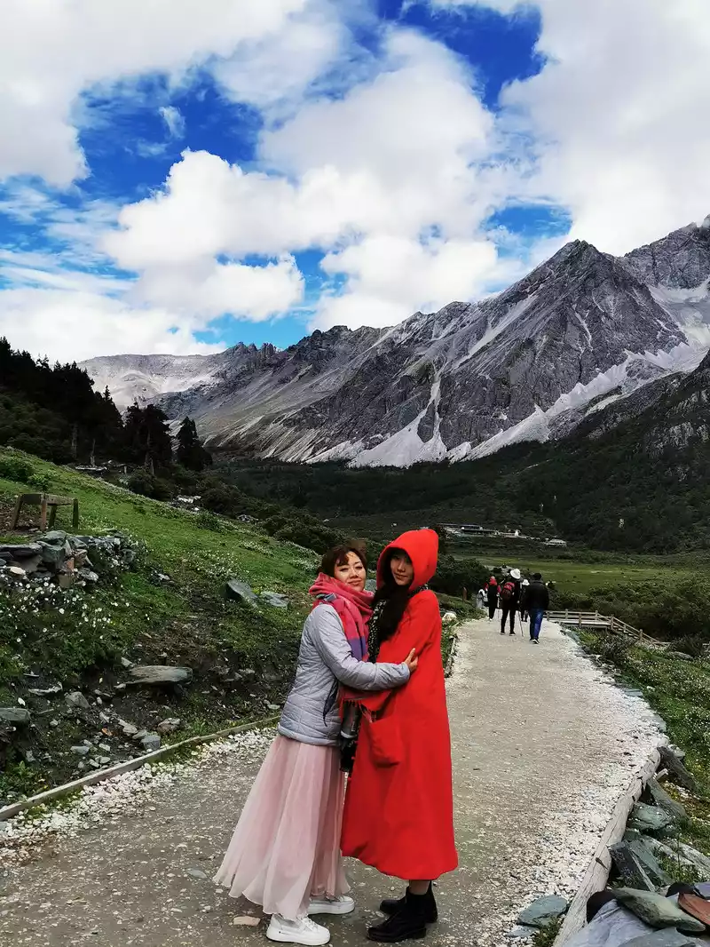
Day 7 July 14 Jade Dragon Snow Mountain Shocking performance Intoxicated Blue Moon Valley
Day 8 July 15 Jade Dragon Snow Mountain - Lugu Lake After Xiaoliang Mountain
Day 9 July 16 Lugu Lake - Luoji Mountain Ninety-Nine Daliang Mountain A long and magical journey
in Daliang Mountain Day 10 July 17 Luoji Mountain Ninety-Nine Mile Hot Spring Waterfall - Xichang
Day 11 July 18 Xichang - Chengdu Driving on the road in the clouds
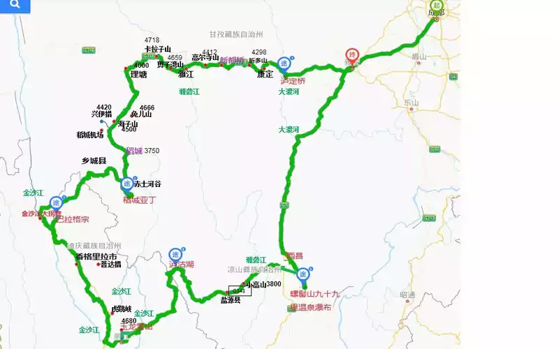 Shangri-La Grand Ring Road Map
 We arrived in Chengdu at 11:30 noon, arrived at the hotel at 12:30, and stayed at Catherine, a homestay in SOHO Boiling City.


After the hotel drops off your luggage, you can have a meal and take a photo to rest.
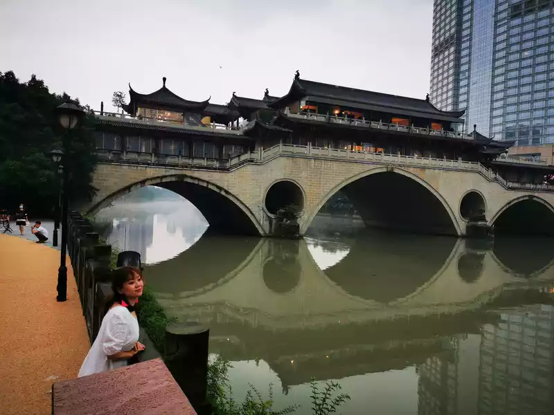
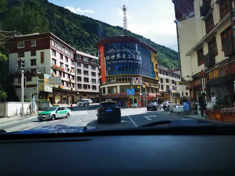
19:00 Jiuyan Bridge
Jiuyan Bridge is located in Jinjiang District, Chengdu, ancient name Hongji Bridge, also known as Zhenjiang Bridge, was built in the 21st year of the Ming Dynasty (1593) and was demolished in 1992.Now we see that although the bridge in the picture above is also called the Nine Eyes Bridge, it is a newly built steel-framed cement bridge in 1988, which has lost some charm compared with the ancient Nine Eyes Bridge.
 Take
Take a photo on the Nine Eyes Bridge. When I arrived under this bridge, I didn't think this bridge was a real Nine Eyes Bridge at all, and I didn't take a full picture, and later I checked the information and found that it was the Nine Eyes Bridge.
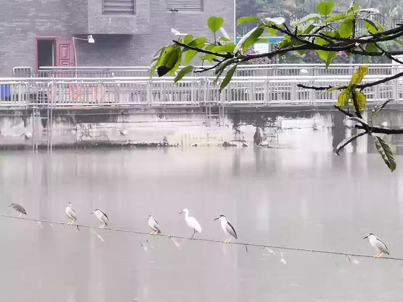
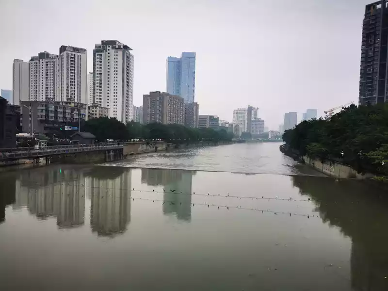 Two
Two ropes are stretched horizontally on the river in the distance, on which many birds are resting, and man and nature live in harmony.
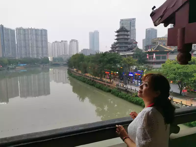
19:30 Jiuyanqiao Bar Street
At the beginning of the lanterns, let's appreciate and record the integration of modern light and shadow with history and culture. When people nowadays think of Jiuyanqiao, they think of the "famous" Chengdu "Jiuyanqiao Bar Street", the cultural symbol of Chengdu's nightlife, and the young people who were wanton and hearty in the neon bars everywhere in the past, the Qing bar where friends gathered and chatted, and the noisy bar where they danced casually. When we went, the streets were somewhat deserted because it was during the epidemic.

I accidentally walked past one of the filming locations of the film "Guanyin Mountain" - the sub-bar next door, in the bar street of Jiuyanqiao. Bar Street is located by the river, next to Sichuan University, which makes the humanistic atmosphere here quite strong. In addition, there is also a sub-bar next door in Kuanzhai Alley, which is also one of the filming locations of "Guanyin Mountain".

19:40 Anshun Covered Bridge
Anshun Covered Bridge, a bridge with a unique flavor, because it happens to be in the area of Jiuyan Bridge, and it is very close to Jiuyan Bridge, so many people on the Internet mistake Anshun Covered Bridge for Jiuyan Bridge, we also think so when we go to play, even the photos of Chengdu Jiuyan Bridge on many tourism platforms are Anshun Covered Bridge. In fact, the Anshun Covered Bridge is also a famous bridge, when Marco. Polo traveled the world and recorded four bridges in China, one of which was the Anshun Covered Bridge.
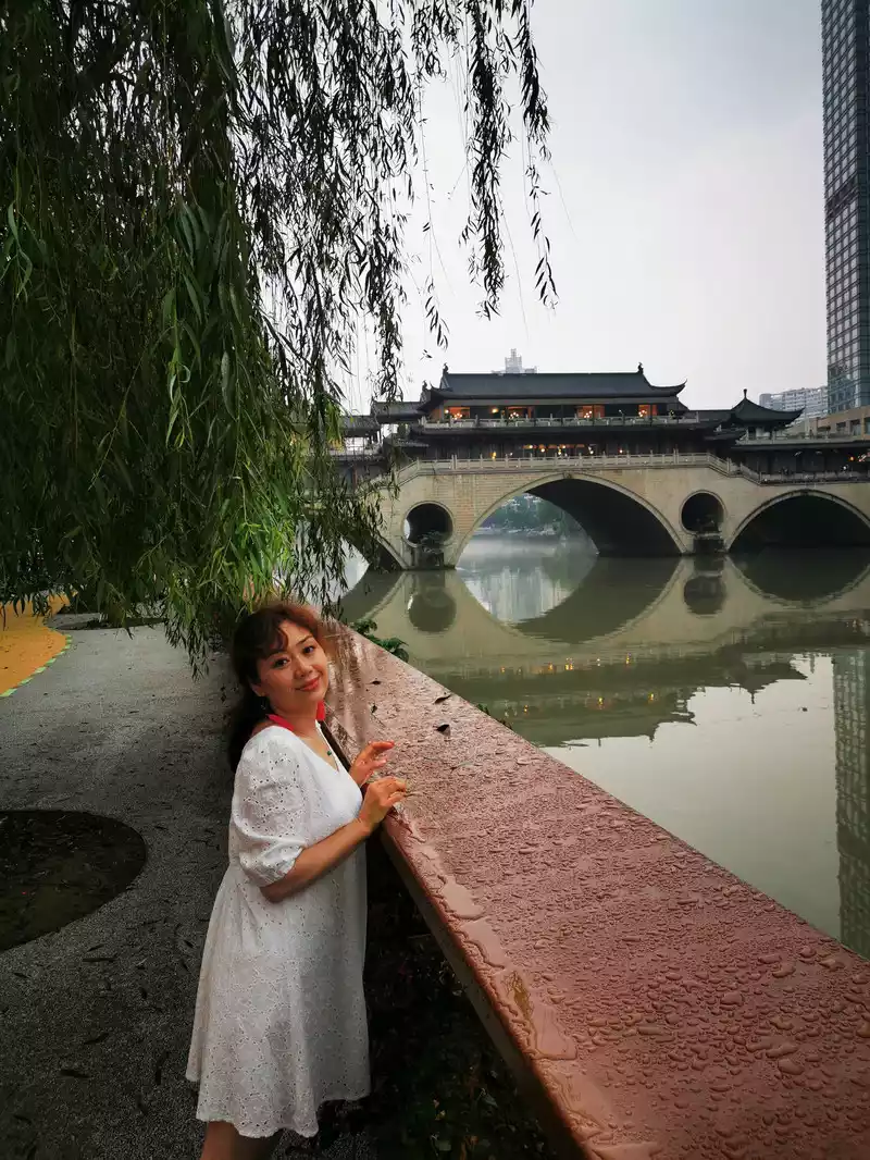
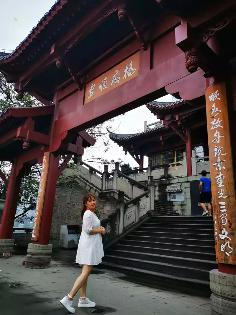
In fact, the Anshun Covered Bridge is also a famous bridge, when Marco. Polo traveled the world and recorded four bridges in China, one of which was the Anshun Covered Bridge.
See the fusion of history and modernity on the Anshun Covered Bridge.
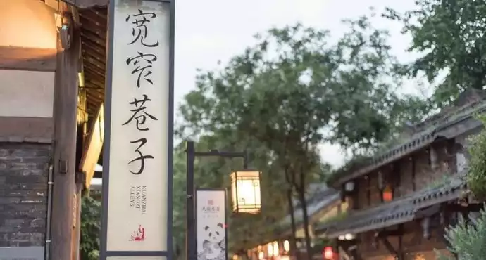
20:18 Kuanzhai Lane
Takea taxi from Jiuyanqiao to Kuanzhai Alley. Kuanzhai Alley is located near Changshun Street, Qingyang District, Chengdu, Sichuan Province, consisting of wide alleys, narrow alleys, and well alleys arranged in parallel, all of which are antique courtyards of green and dai bricks and tiles, which is also a relatively large-scale ancient street of the Qing Dynasty left over from Chengdu, and is known as the three major historical and cultural city protection blocks in Chengdu together with Daci Temple and Wenshu Monastery.Due to limited time, we only walked around the narrow alleys, so let's come back next time we have the chance.


I accidentally came to a neighbor again, which was in Kuanzhai Alley, one of the filming locations of "Guanyin Mountain".
Chengya Expressway in the morning, Yakang Expressway all the way west
Inthe morning, get up and go downstairs to buy some fried dough sticks and tea eggs for breakfast, go to the supermarket to prepare some food for the road, and start at 9 o'clock along the Chengya Expressway (Chengdu to Ya'an) all the way west. This time, Master Xiao Ma drove 16 hours and 1,200 kilometers from Xining to Chengdu to meet us. We walked 2,700 kilometers of the Northwest Ring Road in July 2019 and was escorted by Master Pony, and I believe this trip will be a pleasant trip!
 Officially depart at 9 o'clock. As usual - get in the car and take a selfie!
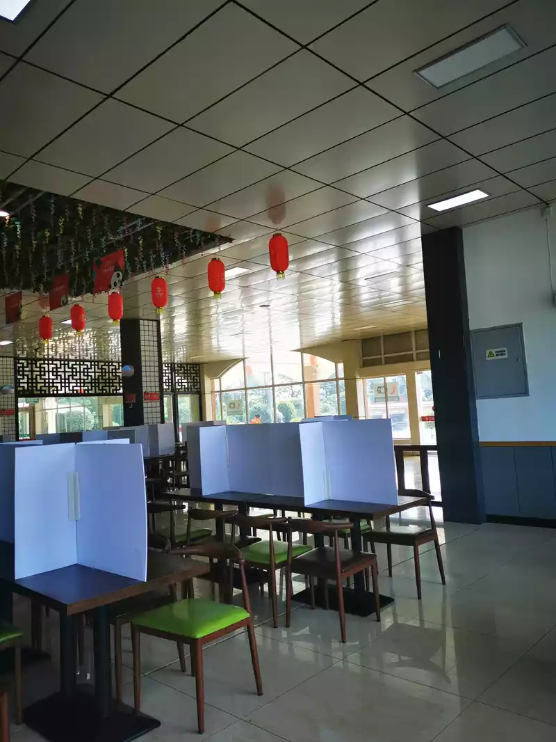
10:30 Arrive at the Pujiang service area to take a break and check the condition of the car. The restaurant in the Pujiang service area, with a cross partition on the tabletop, is the standard configuration of the restaurant during the epidemic. Set off again and pass by Ya'an City, where there was still an epidemic at that time.
The Yakang Expressway starts from Ya'an City, passes through Tianquan County and Luding County to the west, and ends in the east of Kangding City, with a total length of about 135 kilometers, of which the Ya'an section is 89 kilometers long, the Ganzi section is 46 kilometers, and the speed limit is 80 km/h. There are 85 bridges (including 7 special bridges), 29 tunnels (including 10 extra-long tunnels), and 12 interchanges (including 3 hub interchanges), and their geological complexity is comparable to the Yaxi Expressway we last passed. Among them, the expressway passes through the Horn River Tunnel Group for 10.9 kilometers, the Erlangshan Tunnel for 13.5 kilometers, and the Lukang Tunnel Group for 30 kilometers. The entire high-speed bridge-tunnel ratio is as high as 82%, and the altitude difference of the whole line reaches nearly 2,000 meters, of which the bridge-tunnel ratio of the Lukang section is as high as 96%.
12:35 Pass through the Erlangshan Tunnel. After passing the Erlangshan Tunnel, it circled down the highway and drove towards Luding County.
13:30 Eat in Luding County
 Have
Have a meal at the Hongcheng Hotel and enjoy the Luding Bridge on the Dadu River.

14:30 Luding Bridge
Luding Bridge, also known as Dadu Bridge, is a ferrata bridge across the Dadu River in Luqiao Town, Luding County, Ganzi Tibetan Autonomous Prefecture, Sichuan Province, which was built in the forty-fourth year of the Kangxi Dynasty of the Qing Dynasty (1705). With a total length of 103.67 meters and a width of 3 meters, it consists of 13 chains and is an ancient bridge with a long history.
The bridge is famous at home and abroad for the Red Army's battle of "flying to capture Luding Bridge". On May 29, 1935, the first part of the Central Red Army successfully crossed the Dadu River at Anshun Field in the lower reaches of the Dadu River, and went north along the east bank of the Dadu River, and the main force went north along the right bank of the Dadu River from Anshun Field, and in the case of heavy rain, it ran forward on the rugged and steep mountain road, running up to 240 miles in a day and night, and finally arrived on the west bank of the Luding Bridge on time at about 6 a.m. on May 29, and 22 commandos stepped on the iron chains along the iron chain densely covered with bullets and fires to seize the bridgehead, and surrounded and occupied the Luding Bridge with the troops on the east bank. After crossing the Luding Bridge, the Red Army began to climb the snow-capped mountains and cross the grassland, and finally won the great victory of the Long March.
Watching the rolling river on the bridge makes me feel like I'm speeding on a boat.
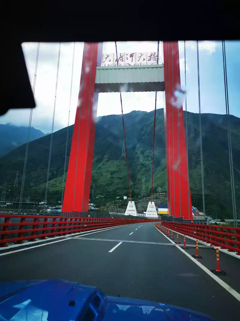
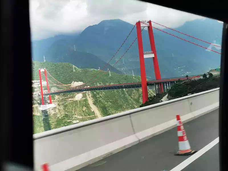
15:56 Dadu River Xingkang Special Bridge
15:56 Dadu River Xingkang Special Bridge
The Luding Dadu River Xingkang Special Bridge, the whole bridge is 1,411 meters long, using a steel-concrete superimposed bridge system, with a total cost of more than 1 billion yuan, known as the "first bridge in Sichuan and Tibet". The height difference from the bridge deck to the water surface is 239 meters, the main pier cable tower is 188 meters high, and the height difference from the water surface to the top of the bridge tower is 364 meters; The bridge is fortified according to the seismic intensity level 9 and can withstand typhoons of level 12.
16:30 Pass through Kangding
16:30 Pass through Kangding City, there is Paoma Mountain Scenic Area nearby. Kangding, a place famous for Kangding love songs, the Zheduo River flowing through the city is turbid and turbulent.
Kangding City is located in the eastern part of Ganzi Tibetan Autonomous Prefecture, Sichuan Province, and is the capital of Ganzi Prefecture, with an altitude of 2,560 meters. Kangding has a long and splendid history and culture, and is the throat of Sichuan and Tibet, an important town on the ancient tea horse road, and the intersection center of Tibet and China. Since ancient times, it has been the political, economic, cultural, commercial, information center and transportation hub of the Khamba Tibetan area. It is a city dominated by Tibetans, Han, Hui, Yi, Qiang and other ethnic groups. Kangding is a Chinese name, because the east of Danda Mountain is "Kang", which means Kangdi stability, hence the name. In Tibetan, Kangding is called "discounted more", which means the confluence of the two rivers Daqu (Yala River) and Zhequ (Zheduo River). The old history was translated as "frying furnace", and later translated as "arrow furnace", referred to as Furnace City.
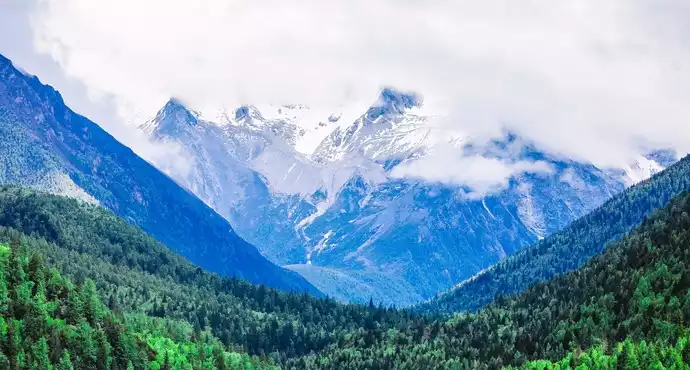
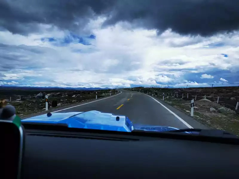
After leaving the Yakang Expressway, further west is the ordinary section of National Highway 318, and the speed is generally not fast. In the distance, the cloudy Yulin Snow Mountain (Yuling Snow Mountain) is part of the Gongga Mountain System, and there is a road through the snow-capped mountain that leads to Red Stone Beach and Hailuogou.
Not far from Kangding City, there is a "Jade Dome Snow Observation Deck", which can overlook Yulin Snow Mountain (Yuling Snow Mountain).
Panoramic photo of Kangding City
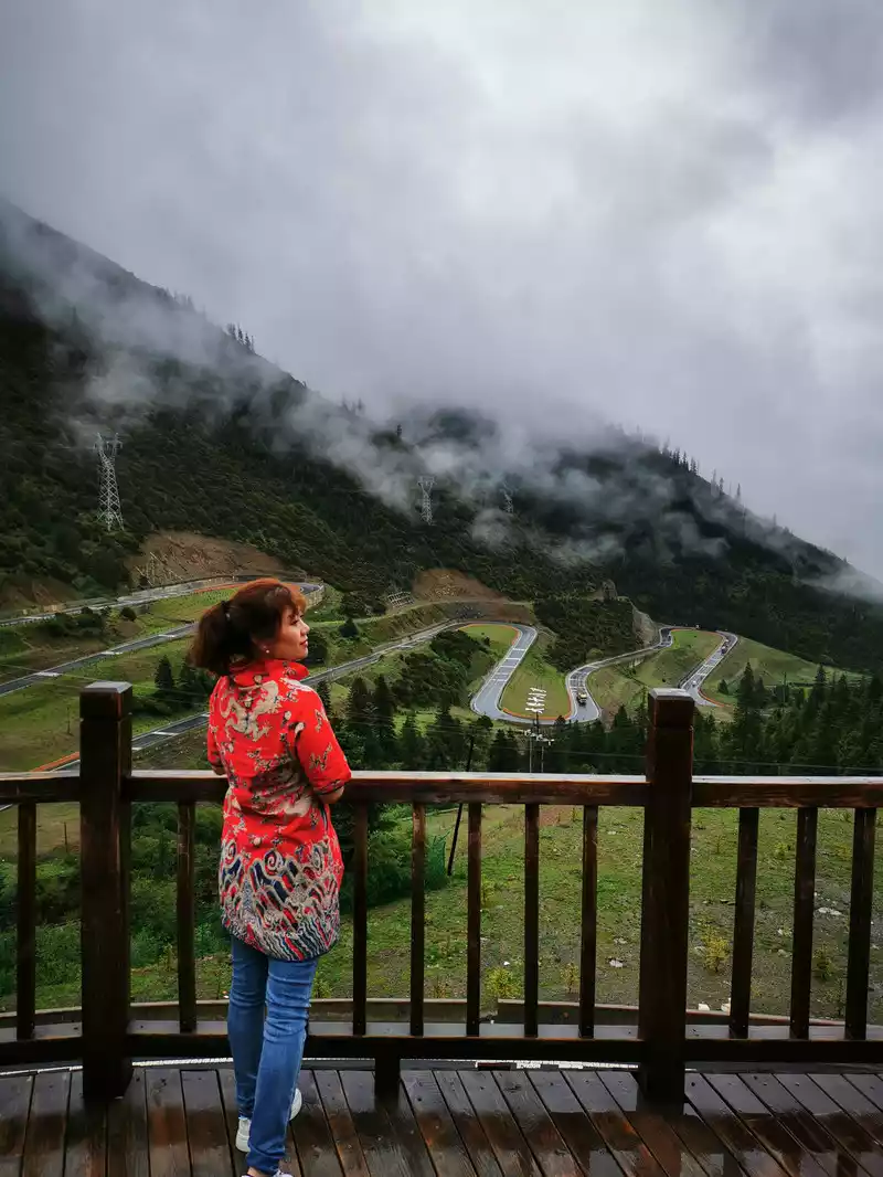
17:30 Over the mountains
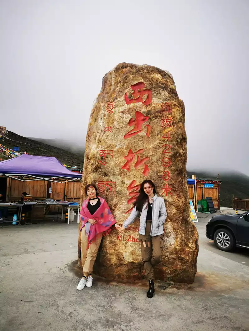
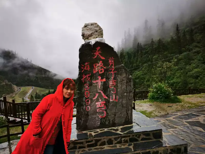
Zheduo Mountain is a vein of the Great Snow Mountain, which is an important geographical boundary, with the Sichuan Basin in the east and the eastern part of the Qinghai-Tibet Plateau in the west, and Zheduo Mountain is also the watershed of the Dadu River and Yalong River basins, and the dividing line of Sino-Tibetan culture. "Zheduo" means curved in Tibetan, and it is written in Chinese as the word Zheduo. The winding mountain road of Zheduo Mountain has nine bends and eighteen bends, winding back and forth like the word "many", turning a corner and another turn, no wonder the locals have a saying: "Erlang Mountain that scares people to death, Zheduo Mountain that scares people to death".The highest peak of Zheduo Mountain is 4,962 meters above sea level, the pass is 4,298 meters above sea level, and the altitude difference with Kangding City is 1,800 meters, which is the first high mountain pass that needs to be crossed on the Sichuan-Tibet line of National Highway 318, so it is known as the "first pass of Kangba".
 The
The pass of Zheduo Mountain is 4298 meters above sea level. My head is a little dizzy, walking is a little floating, as if I am drunk, which is typical altitude sickness.
 There
There is also an observation deck above the pass of Zheduoshan. It's too windy and cold, so take a photo below.
 A
A true portrayal of a beautiful frozen person
18:05 Goodbye Kangding!
Note: There is athree-way intersection about three to five minutes west from the Zheduo Mountain Pass Observation Deck, so don't go wrong. Due to the high altitude of Zheduo Mountain, mobile phones cannot be used for navigation without signal, so you must pay attention at this intersection, going straight along the original road is the road to Kangding Airport, and to go to Xindu Bridge, you need to turn left at this intersection and go down the mountain. It was in this place that we accidentally followed the two tank-like off-road vehicles in front of us, and it seemed that they also stopped and turned around because they had gone wrong, and then we turned back.
In addition, the Zheduoshan Tunnel has been under construction since 2018 and is expected to open to traffic in 2022. At that time, the original 1.5-hour winding road from Kangding to Xinduqiao will be shortened to 8 minutes.
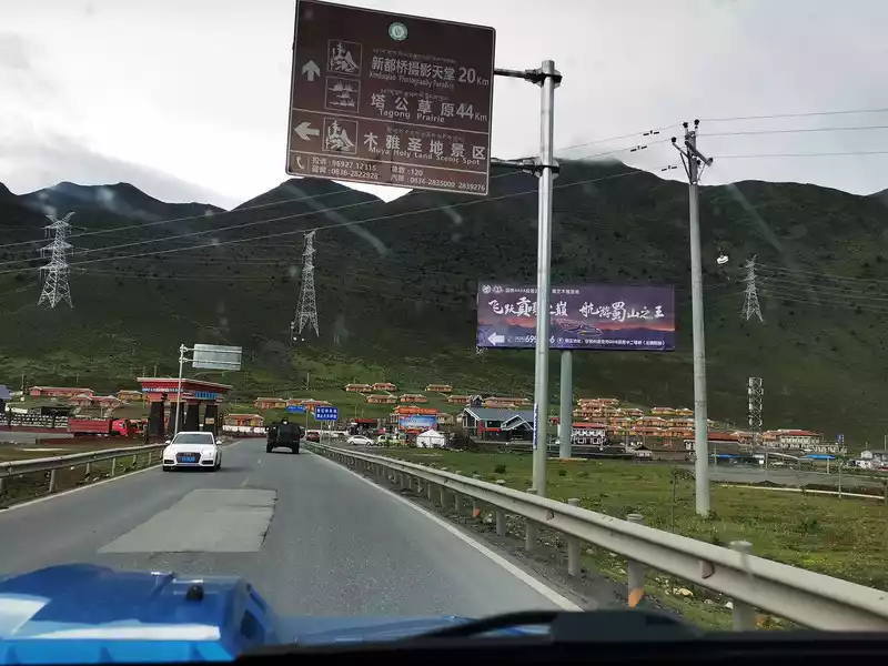
18:18 Pass by Muya Holy Land Scenic Area. Kangding Muya Holy Land Scenic Area is located in the world-renowned city of love songs - "Muya Xinkang" on the west side of Kangding Zheduo Mountain, which is the first tourist attraction in Ganzi Prefecture that combines folk customs and natural scenery, and is also the first special tourist area in the country with the theme of reflecting Tibetan Muya culture.
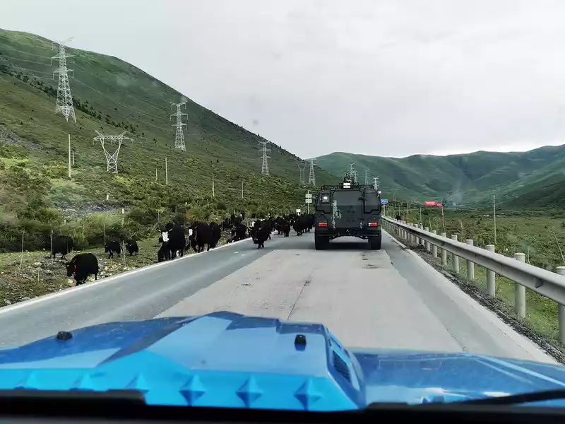
18:20 Chance encounter with a herd. This off-road vehicle in front is a bit like a tank! Is it a warrior of the east wind? Or George Patton? Or BAIC Warriors? Do you have any friends who know this?
Several beautiful Tibetan homestays next to National Highway 318, with clusters of wolf poison flowers growing on the green grassland, although beautiful, should not be in close contact. Wolf poison flower is mostly found in our country's Qinghai-Tibet Plateau and Loess Plateau, and its roots, stems and leaves are highly poisonous, which can be made into medicine and applied externally, which can eliminate the accumulation of blood. It can also be used as a pesticide to control borers and aphids. But humans and animals must not eat it. Wolf poison flowers have large roots and strong water absorption capacity, and can adapt to arid and cold climates, and it is difficult for surrounding herbs to fight them. The more developed its root system, the more toxic it is.
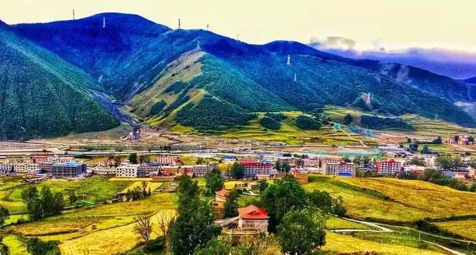
19:00 Arrive at Xinduqiao and check into the hotel.
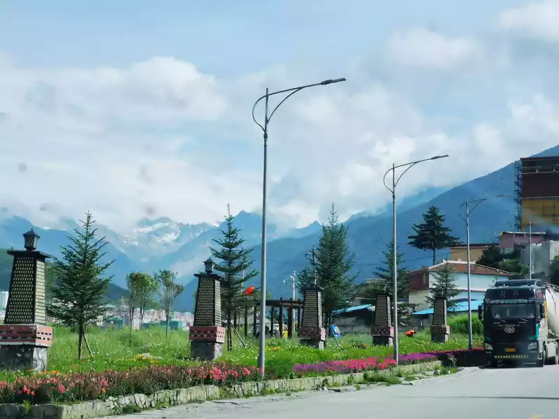
Xinduqiao Town is 3,460 meters above sea level, is a town under the jurisdiction of Kangding City, Ganzi Tibetan Autonomous Prefecture, Sichuan Province, is a highlight on the Sichuan-Tibet line, here is a photographer's paradise, the Chayagou River (the upper source of the Liqiu River, a tributary of the Yalong River) flows slowly, and the surrounding beautiful and primitive natural scenery is everywhere. You can also go to the observation deck of Yingguan Village in Waze Township to look at the main peak of Gongga in the distance. There is also a heavenly burial platform here, if you are lucky, you can witness the sky burial, which is a traditional funeral method of the Tibetan people, the body of the deceased will be swallowed by vultures after being brought to the designated location, do not take pictures when watching, and respect the local customs. There is also the cultural landscape Curie Temple, which is one of the Huangjiao temples in Kangding County, with precious Sanyi cultural relics and fine bronze statues of the Five Buddhas.
 The
The model beauty that was photographed
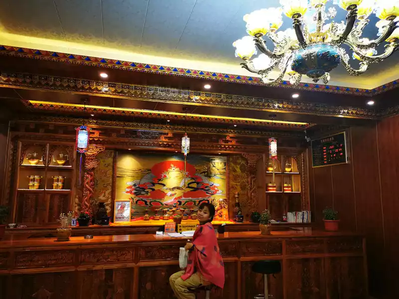
The hotel has a lobby with a strong Tibetan style
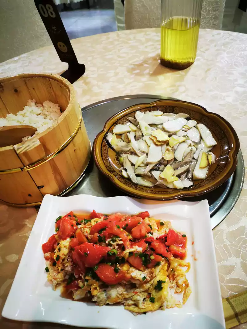
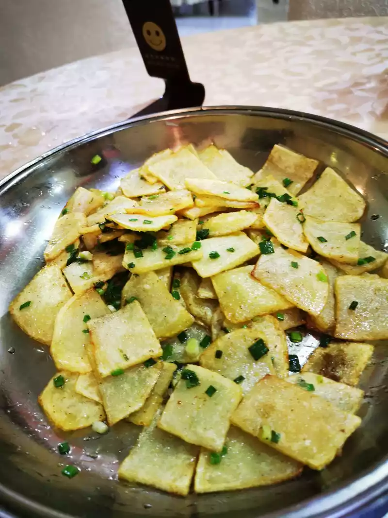
20:00 Order at the hotel restaurant. Since it was still during the epidemic, there were not many customers, and there were only two tables of customers when we went, which may be the reason why we went a little late. I ordered my daughter's favorite, scrambled eggs with tomatoes, and a scrambled potato, which tasted pretty good.
9:00 Depart from Xindu Bridge
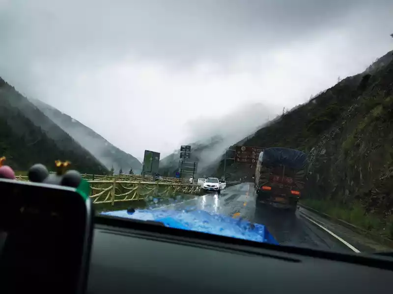
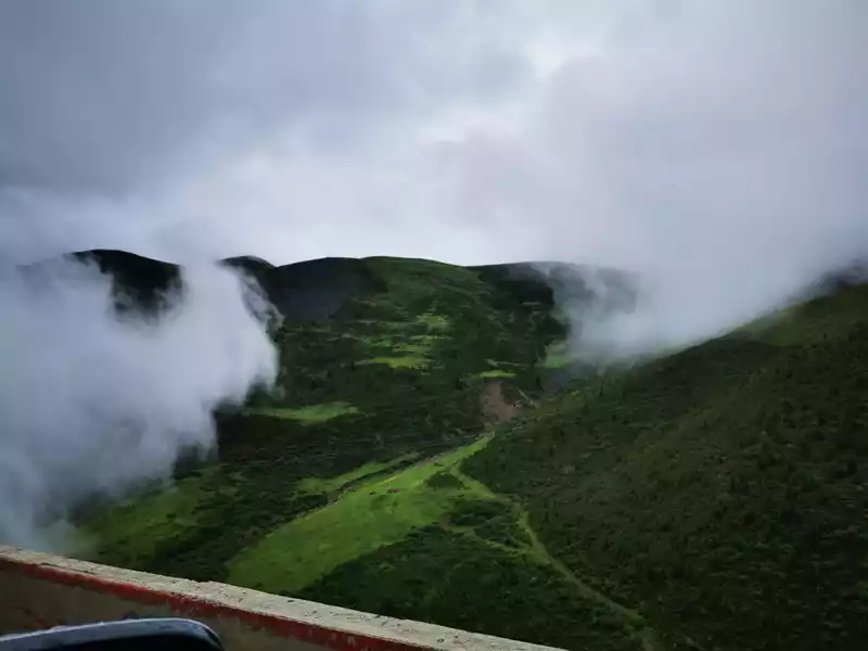
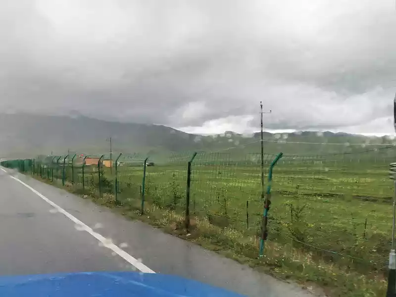
Today's journey can be said to be a combination of wind and rain, one will be misty and rainy, one will be rainy, the other will be cloudy, and I can't remember how many rains I encountered, with an average altitude of nearly 4,000 meters.
8:00 In the morning, watch the misty Xindu Bridge on the open-air platform on the top floor of the hotel.
Depart from your hotel at 9:00. After leaving Xinduqiao Town, there are two roads, one is to the north to Tagong Grassland and Moshi Park, and the other is to go west along National Highway 318 to Yajiang. Drive about 10 minutes and 8 kilometers, there is a three-way intersection, marked to the left is National Highway 318 (old), the old road is no longer car-going, but this old road can go to a famous place - Blackstone City. To go to Black Rock City, you can also drive forward for about ten minutes from here, pass through the Gaoersi Mountain Tunnel, and then turn to the old road 318 and walk back. The old road of 318 lacks maintenance, most of the road is broken, the car is more difficult to drive, at most it can only get to the bottom of the Black Rock City Mountain, only powerful off-road vehicles with good driving skills can rush to the top of the Black Rock City Mountain, ordinary vehicles can only stop at the foot of the mountain and hike up. Not many people should know about Black Rock City, it is said to be a mysterious religious holy place, since China National Geographic magazine photographed Gongga Mountain here, this place has slowly become famous, everyone recognizes that this is the best place to shoot Gongga Mountain, and it is the place with the shortest air distance overlooking Gongga Snow Mountain and Yala Snow Mountain at the same time.
9:20 Just out of the Gaoersi Mountain Tunnel
9:25 Just out of the Gao Ersi Mountain Tunnel Not far away, it was still raining lightly, Find a place to take pictures of the scenery.

This off-road vehicle is cool, right? Master Pony's car.
 The
The small river in the distance is like a white hada winding around the mountain
9:40 Circling down from Gao Er Temple Mountain
9:48 Take a break from the mountain of Gao Er Temple, and see the rushing river at an altitude of 3,200 meters in a rest area near Vidi Village. Because it is the rainy season, the river is relatively fast, a little muddy, and it feels very cool. There is a simple wooden bridge on the river that leads to several households on the other side of the river.
10:00 Pass Pamling Village
Follow the river all the way down, passing through Pamling Village, Bajiaolou Township, Yajiang County.
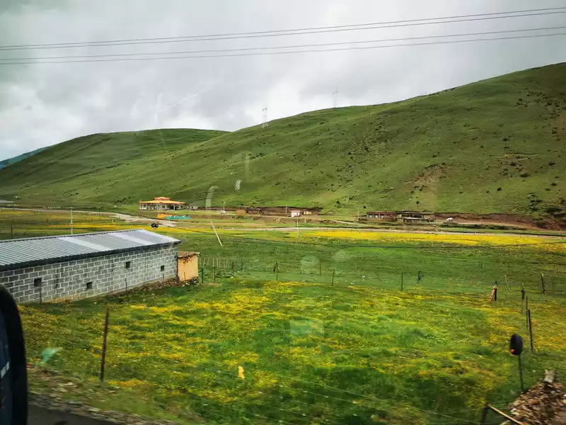
Pamuling Village, a happy and beautiful village, is located in the Pamuling Natural Scenic Area (one of the top ten birdwatching holy places in Sichuan, with nearly 100 species of beautiful birds. In order to change the traditional mode of transportation of local people carrying matsutake mushrooms down the mountain, improve transportation efficiency and ensure the freshness of matsutake mushrooms, express delivery companies set up 7 camps in the concentrated production area of matsutake mushrooms, invested more than 100 drones, took off from the mountains without roads, and in about 20 minutes the freshly picked fresh matsutake mushrooms could be sent to the base at an altitude of 4,120 meters, and then transported to the matsutake mushroom pretreatment center at the foot of the mountain through the cold chain, and the products were sent to the large consumer market within 48 hours. The drone solved the transportation problem of the "first kilometer" of Yajiang matsutake mushrooms down the mountain, and played a significant role in increasing production and income for the local Tibetan people. CCTV also broadcast a special column on "Science and Technology Help Poverty Alleviation, Matsutake 'Fly' Down the Mountain". To the north of Pamling Village is the Pamling Temple SF UAV Yajiang Operation Base, and not far to the west of the village is the China Yajiang Matsutake Industrial Park. In addition, with the help of tourism, it also vigorously develops the rural hotel accommodation and catering industry, and you can see many rural hotels along the way.
Kangju Country Hotel
Leji Country Hotel
10:30 Yajiang After crossing the Yalong River
The county seat is 2,600 meters above sea level, and the population of the county is more than 60,000. Yajiang, Tibetan name "Yaquka", that is, "estuary". Because it is one of the important ferries of the Yalong River, the Qing army once set up a flood garrison, and when the county was established, it was also named after the estuary, and later changed its name to Yajiang, which was named after the location of its county seat on the Yalong River.
10:38 I met a motorcycle brigade by chance, and the road sign in front pointed to Honglong Town.
11:25 Observation Deck of the Eighteen Bends of Shears Bay Shantian Road
11:40 Scissors Bay Tunnel

11:48 After passing through the Scissors Bay Tunnel, the dreamy fairy scenery
12:40 Crossing the 4,400-meter Karazi Mountain; 13:00 Arrive at Honglong Town, the world's highest town.
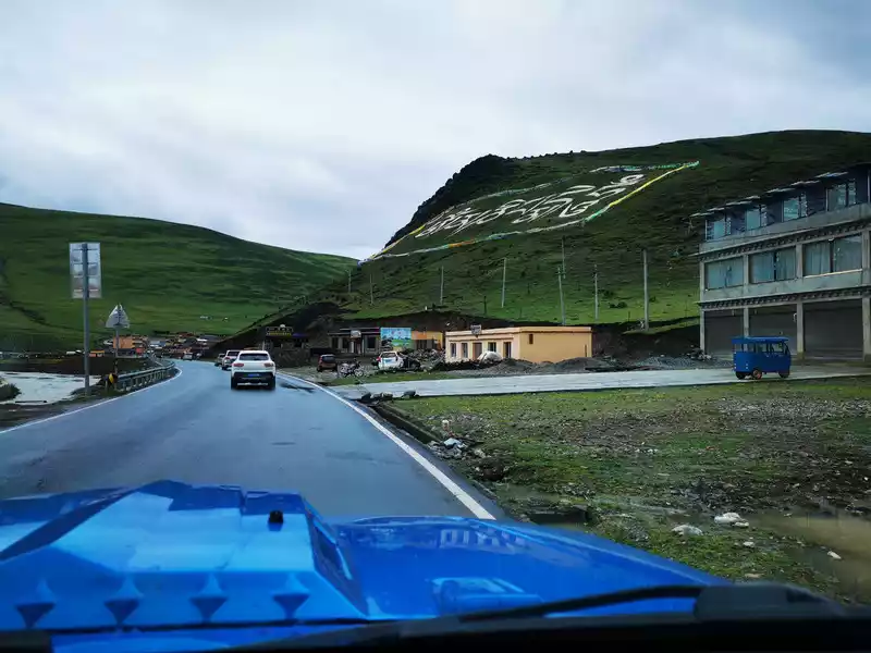
Add filming location
Red Dragon, whose Tibetan name is Flowing Gamma, means "the place where the white spirit vulture has inhabited". At an altitude of 4,200 meters, it is the highest township in the world.
There is a building under the Tibetan on the mountain, the Yajiang Black Tent Traditional Culture Service Center, which allows tourists to experience Tibetan tent culture on the grassland. Yajiang links targeted poverty alleviation with tourism, relying on National Highway 318 to develop customer groups based on self-driving tours and cycling crowds, and personally creates special businesses such as "Tibetan cultural experience, special Tibetan meals, accommodation, riding and shooting, and bonfire parties" for them.
The traditional Tibetan black tent is not seen much, the white tent is poured a lot, and a top is dotted on the green savannah.
Red Dragon Grassland, Tibetan houses, herdsmen's tents, blue sky, white clouds, grassland, sea of flowers, cattle and sheep, horses, rivers, and smoke on the grassland...... What a beautiful oil painting of nature!
13:05 Beautiful Red Dragon Grassland
13:24 Huoqu Auspicious Ranch
Huoqu Auspicious Ranch is located in Kahui Village, Benge Township, Litang County, is a modern ranch that combines pastoral and tourism, located at the intersection of National Highway 318 and Provincial Highway 217, 13 kilometers away from Litang County. It is a place for tourists to sightsee and take pictures, feel and experience nomadic cultural life, black tent experience area, knead tsampa, butter tea, milking, jumping pot village, archery, playing Guduo, watching horse races, riding horses, riding white yaks, trying on Tibetan costumes, eating Tibetan food, and experiencing the life of "being a shepherd for a day".
 Take
Take a walk on the grassland and walk out of the steps that the six relatives do not recognize!
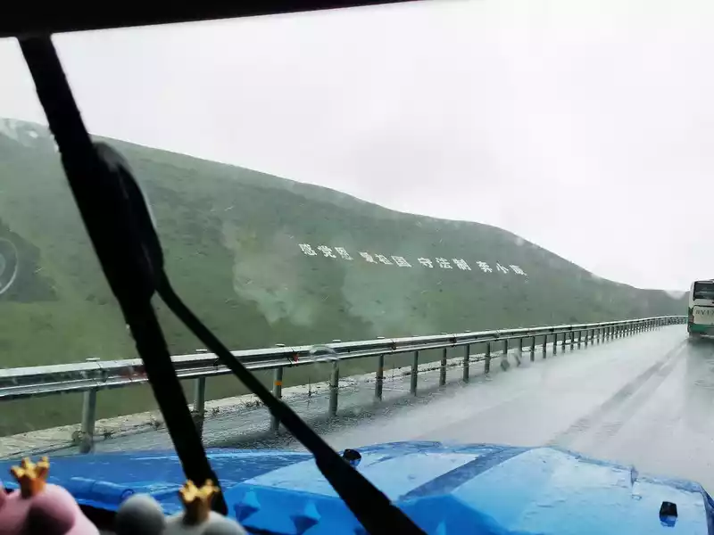
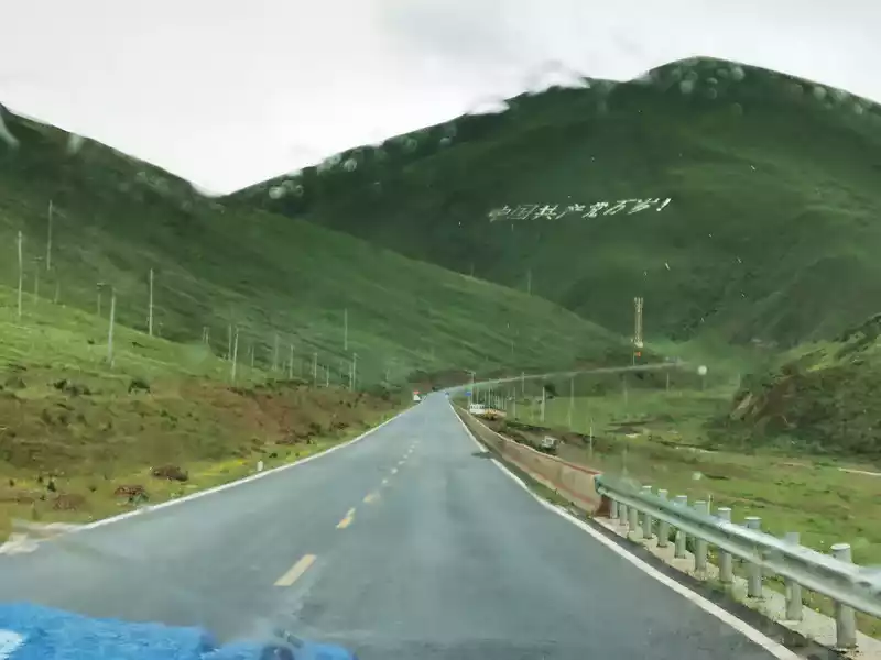
13:59 Long live the Communist Party of China!
From Yajiang to Litang, it rains lightly from time to time, and you will see many slogans on the hillside along the way, "Feel the kindness of the party, love the motherland, abide by the law, and run for a well-off life" and "Long live the Communist Party of China!" I directly felt the Tibetan people's sincere support for the Communist Party and their love for the motherland and their hometown.
With the support of the state's policy of targeted poverty alleviation and comprehensive poverty alleviation, our country people are moving towards a moderately prosperous society in an all-round way. Zejia, a villager in Pamling Village, Bajiaolou Township, Yajiang County, said in an interview with reporters: "The changes here are simply not ordinary, one is electricity, the other is the road, the road to the household, the hardened road, there is water, there is electricity, there is telephone, there is WiFi, our place has changed a lot now, all the masses are very happy, the other aspect of subsistence allowance, pension insurance, medical insurance, the state has invested a lot, and the masses here are very satisfied." In February 2020, 31 poor counties in Sichuan, including Litang, Yajiang and Derong, announced their withdrawal from the poverty-stricken county sequence.
 > 14:07 Passing by Ding Zhen's world
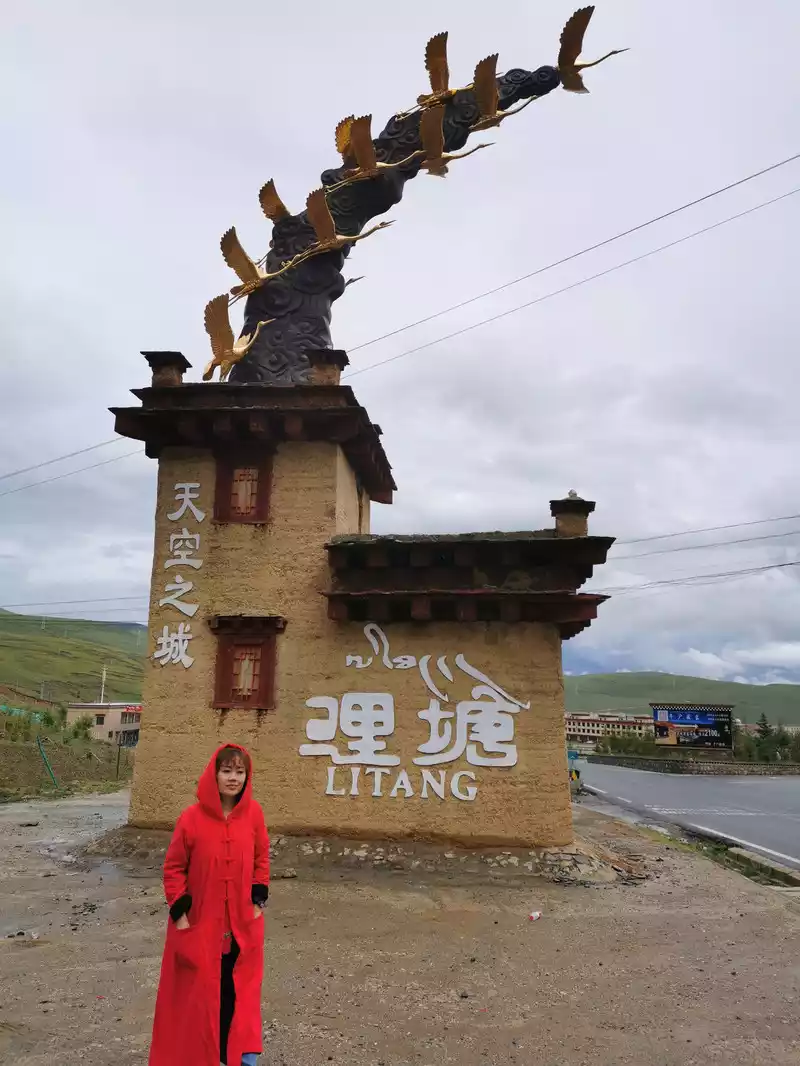
The world's tallest city Litang.
Litang County belongs to Ganzi Tibetan Autonomous Prefecture, Sichuan Province, located in the west of Sichuan Province, southwest of Ganzi Tibetan Autonomous Prefecture, the county government is stationed in Gao Town, 4,014 meters above sea level, with the reputation of "the world's high city", the oxygen content here is only 48% in the plain area, generally if you want to spend the night here, you must be mentally and physically fully prepared.
In fact, our country also has a higher county seat than Litang - Shuanghu County in Tibet (with an average altitude of more than 5,000 meters), but Shuanghu County was only established in 2012, when the title of Litang "World High City" has been deeply rooted in the hearts of the people.
Cangyang Gyatso and Litang:
Speaking of Litang, we have to think of Cangyang Gyatso's love poem: "White crane, please lend me your wings, don't fly far away, just go back to Litang." This poem only connects Cangyang Gyatso and Litang. Therefore, many people will think that Litang is the hometown of Cangyang Gyatso. In fact, Cangyang Gyatso has never been to Litang in his life, and this place is indeed the saddest place name in his heart, because Litang is the hometown of Cangyang Gyatso's lover. It is said that the living Buddha Cangyang Gyatso died in the beautiful and distant Qinghai soon after writing a poem praising Litang, but his reincarnated spirit child was born in Litang, and you can't help but say that this is a mysterious and surprising land. And Litang has also become a place that many people dream of because of this beautiful legendary story and this desolate and euphemistic song. Ding Zhen signed the contract with a state-owned company under the State-owned Assets Supervision and Administration Commission of Litang County: Litang Cangyang Gyatso Micro Museum.
Changchun Keer Temple:
Litang also has the most sacred place "Changchun Keer Temple". Changchun Keer Monastery, also known as Litang Monastery, was founded in 1580 by the third Dalai Lama, Sonam Gyatso, and is the oldest and largest Tibetan Buddhist Huangjiao temple in Kham District, and is a holy place where the local Tibetan people aspire wholeheartedly.
Maoya Prairie:
Although Litang is a plateau, the terrain is flat and surrounded by mountains, the west of Litang County is the Maoya Prairie, surrounded by mountains, the grassland is lush like the sea, and in the summer under the blue clear sky, cattle and sheep are in herds, green grass is in the sky, and the wildflowers are purple and red. The Horse Racing Festival is a grand event for local Tibetans and is held every year on August 1 in the Maoya Prairie.
Add the filming location
Castle in the Sky, we just passed by, this is Ding Zhen's world, it's a pity we didn't meet him when we went.
After Ding Zhen became popular in the second half of 2020, Litang also became popular, and the number of people who went doubled, and when we went there, the tourists seemed to be the only one in our group, which was very good.
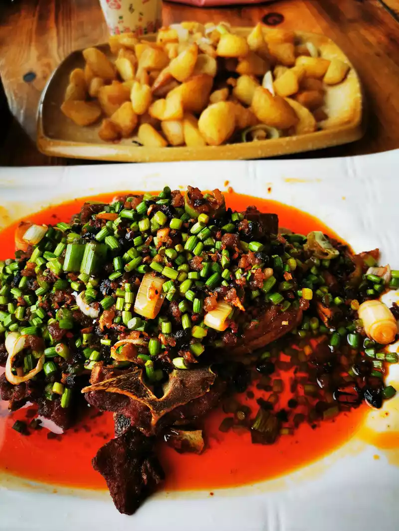
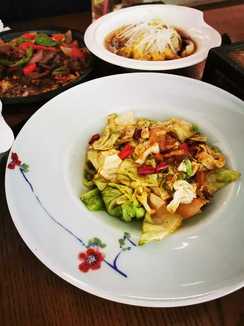
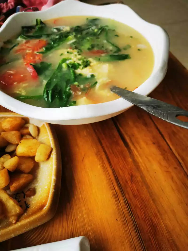
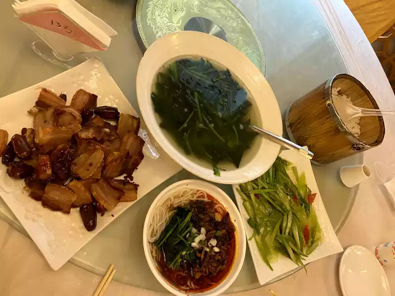
14:10 I found a Sichuan restaurant in Litang to have a meal, steak, fried potatoes, tomatoes, and egg soup.
15:20 From Litang to Daocheng
After leaving Litang, we passed by a beautiful grassland
15:38 Pass by Zaga Ecological Ranch, where you can camp, eat, and have Sichuan restaurants, and can enjoy leisure and entertainment. Such a good road speed limit of 40, walking is really a bit speechless, many places in western Sichuan are like this, should we keep up with the times to speed up?

15:45 Pass by Zaga Sacred Mountain Scenic Area.
Zaga Sacred Mountain Scenic Area is located 18 kilometers south of Litang County, located in Maoya Benge Township, Litang, Sichuan, at an altitude of 4,135 meters, and the Zaga Sacred Mountain in the scenic area is one of the five great sacred mountains most believed in by the people in Tibet.
The scenery of Daocheng from the Litang Basin to the south is completely different from the alpine meadows we passed by before, and the trees on both sides of the G227 highway are lush and staggered, as if you have seen the scenery of Switzerland. Zaga Sacred Mountain is the only place to go to Daocheng Aden, the road is gentle, it is said that even people with average driving skills should have no problem at all through here, but it is said that there are often accidents here, so we must drive carefully when passing by, and we should have a sense of awe for the sacred mountain.
After passing the Zaga Sacred Mountain Scenic Area, drive about 14 kilometers along G227, and you will arrive at Jiawa Town, a town on the Aden to Litang tourist line, which has been an important post station on the Sichuan-Tibet Tea Horse Ancient Road since ancient times, the gateway to Tibet, and has the reputation of "the hometown of the rainbow and the back garden of Gaocheng". Jiawa Town is rich in tourism resources, with a variety of scenery, vast grasslands, continuous snow-capped mountains, spectacular ancient watchtowers, healthy hot springs, beautiful Tibetan villages, and the red temple Xiangyang Temple.
Xiangyang Temple, the Tibetan name is "Xianggeng Tusang Forest". In 1936, Xiao Ke and Wang Zhen led the Red Sixth Army and the 32nd Army of the Red Fourth Front Army to meet at Xiangyang Temple, Jiawa Township, Litang County, and were welcomed by the monks of Xiangyang Temple, and stayed in Xiangyang Temple for 33 days, and the monks of the temple raised a batch of food for the Red Army. Later, the Red Army continued to move north, managing Tang County, and was welcomed by Changchun Keer Temple.
There is a three-way intersection not far in front of the Jiawa Town Government, one road is to turn right and continue to go up the mountain along the original G227, and the other is to continue straight along the Liya Highway. Turning right and continuing along the G227 up the mountain is an old road, which is already a little dilapidated, it is a winding cement road, many places are potholes, not easy to walk, we seem to be in the wilderness. The other straight Ria road is a new asphalt road, a little farther than the first, but the road is easy to walk and the car can drive. In the end, the two roads finally met by the Litang River (Lequ River) near Russia.
After Jiawa Township, it is Xiongba Township, and when it crosses the Lequ River in Xiongba Township, it is cloudy again, accompanied by a burst of rain. Xiongba Township is 3,680 meters above sea level, and not far after Xiongba Township, the journey over Rabbit Mountain began, all the way up along the river valley.
16:13 3820 meters above sea level Verdant hillside.
16:23 Altitude 4160 Stones of different sizes begin to appear on the slopes.
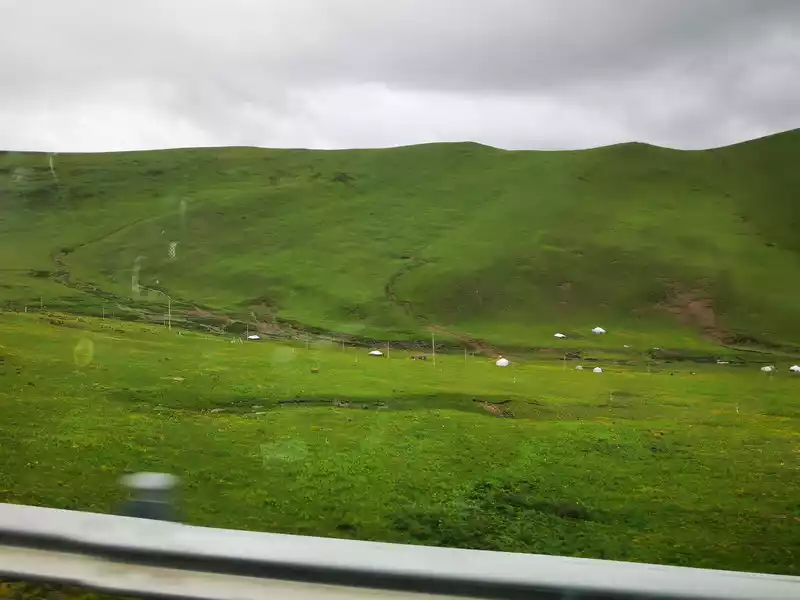
16:26 , 4175 above sea level. White tents are dotted on both sides of the road, and cattle are leisurely grazing.
16:29 At an altitude of 4318 meters, the road is cloudy, and there is a posture of "black clouds pressing down on the city and wanting to destroy it". Further up is the winding mountain road.
16:32 At an altitude of 4,600 meters, it is close to the pass of the rabbit mountain.The thick clouds and mist in the distance are the road we have just crossed.
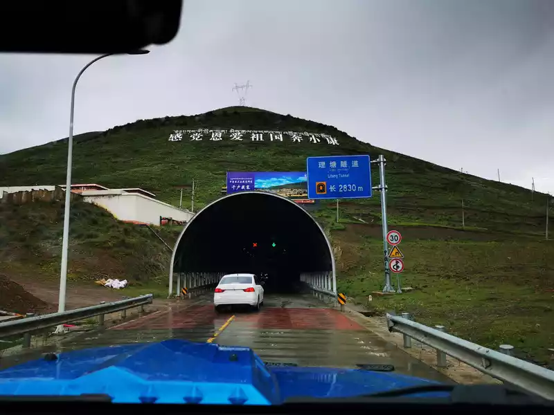
16:35 Rabbit Mountain
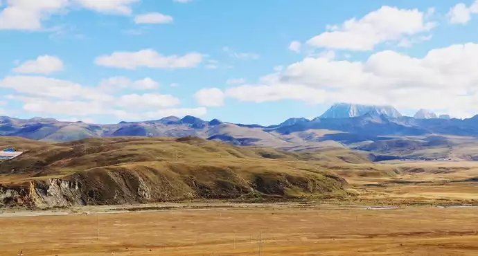
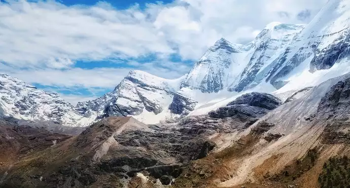
Rabbit Mountain is located in the north of Haizishan Nature Reserve, Litang County, Ganzi Tibetan Autonomous Prefecture, Sichuan Province, is the only place for Litang to go to Daocheng and Aden, with an altitude of 4,696 meters, resembling rabbit ears standing in the wind from a distance, and the mountain is very peculiar, growing on the peak where no grass grows.
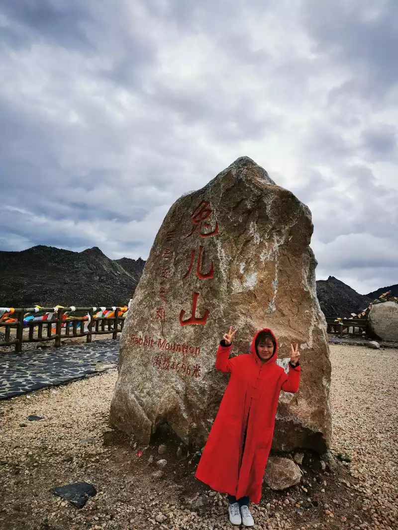
16:40 Rabbit Scientology Dadena Pass
Does it look like a big rabbit?
17:08-17:58 Bumpy Xingyitso Tour
 17:05 Pass by Haizi Mountain
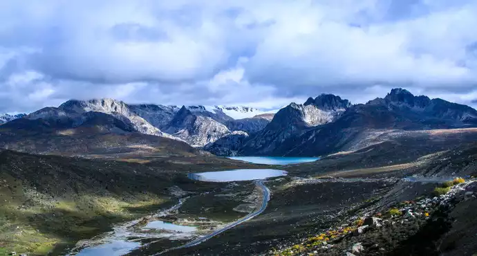
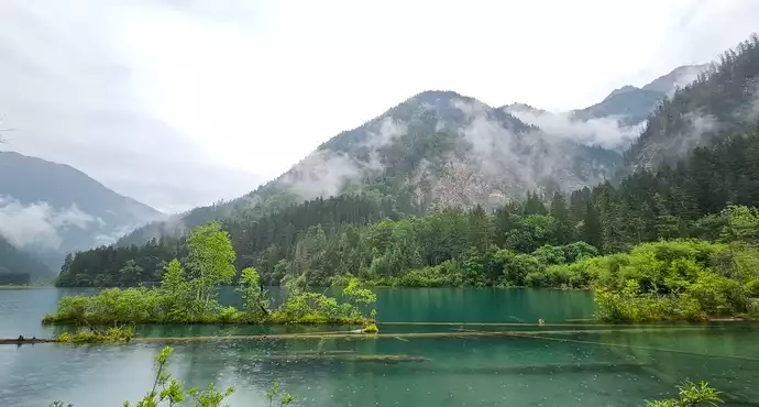
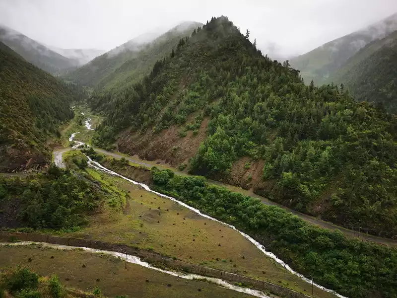
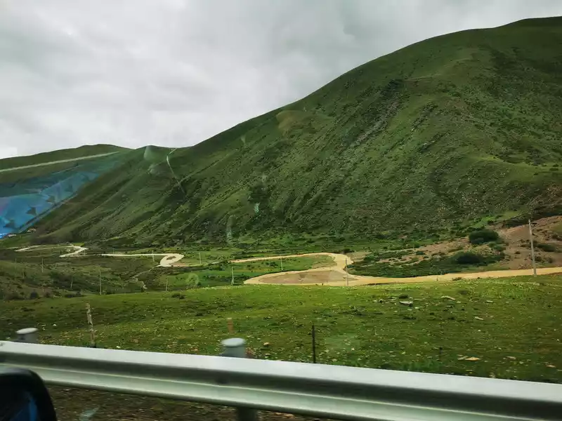
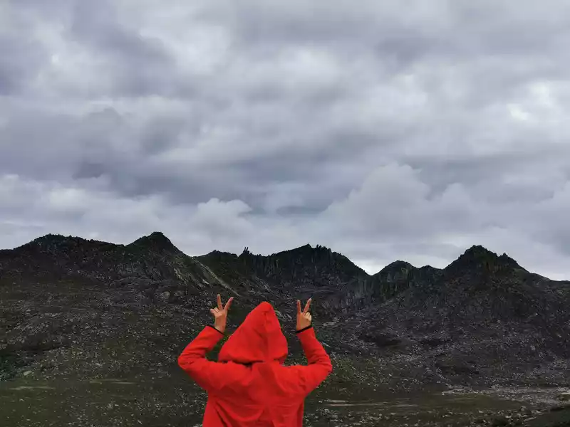
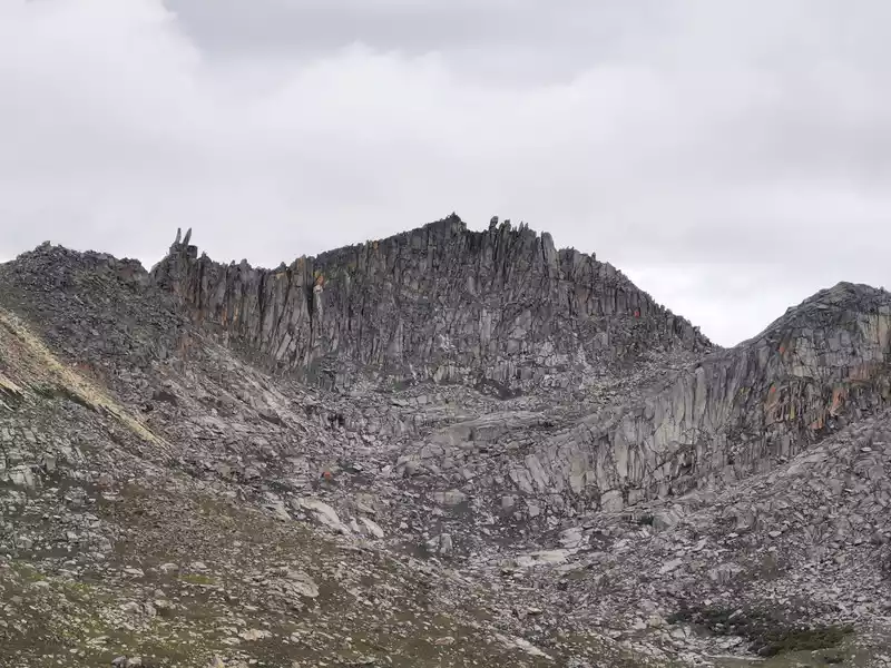
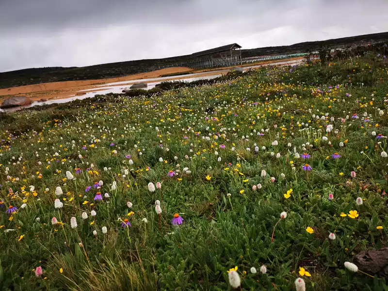
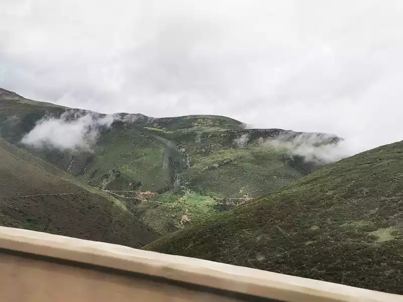
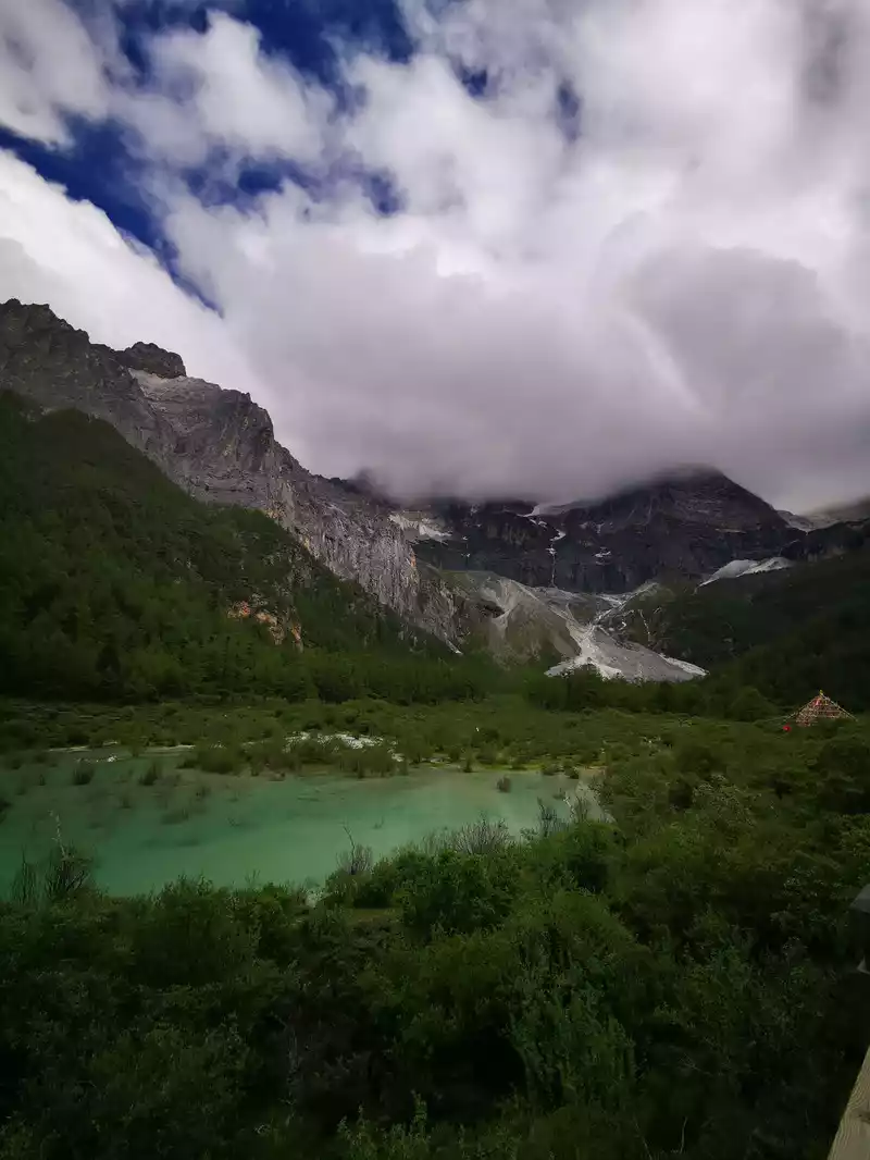
 16:43 Depart from the Dadenna Pass overlooking Rabbit Mountain and head south along G227, passing through Haizishan Nature Reserve, which is a stone mountain full of stones. Daocheng County Haizishan Nature Reserve is located in the north of Daocheng County, with an average altitude of 4300-4700 meters and an area of 3287 square kilometers, which is the largest ancient ice body relic on the Qinghai-Tibet Plateau, a relatively well-preserved alpine wetland natural stone carving park in China, and a historical witness of the Himalayan orogeny, known as the "Daocheng Ancient Ice Cap". The area is full of strange rocks, with a variety of shapes, thousands of scenes, and magical crafts. The lakes are dotted, with a total of 1,145 large and small lakes, and their scale and density are unique in our country, and each lake is like a thousand diamonds sown by God in the mountains, and the magnificent scene is shocking! Because the Tibetans of the mountain lake are also called Haizi, it is named Haizi Mountain.
It takesabout 25 minutes to drive from the Dadena pass, and at 17:08 there is a fork in the road on the right side of the road, which is the road to Xingycuo. The navigation to Xingyicuo shows a distance of 11 kilometers and a half, in fact, we walked for about 50 minutes, first we had to walk half of the washboard gravel road, and then walk 5 kilometers of rugged stone pit road up the mountain, which made people dizzy, a little high, it was really too difficult to walk, too much to test driving skills, fortunately our car was hardcore off-road, the pony master was still an off-road veteran, and finally arrived smoothly.
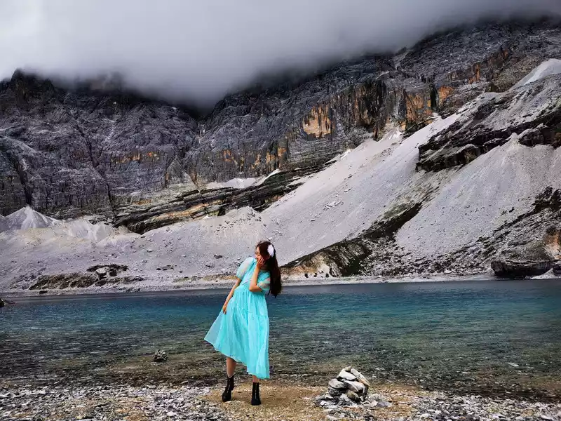
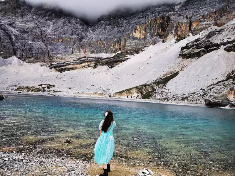
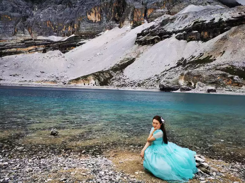
Near the top of the mountain in Xingyitso
Near the top of Xingyitso, take a photo on the side of the road on the mountain. The weather is cloudy and sunny, with occasional light rain.
17:22 The Haizi Mountain seen on the bumpy road to Xingyitso was like going to an alien planet.
17:58-18:18
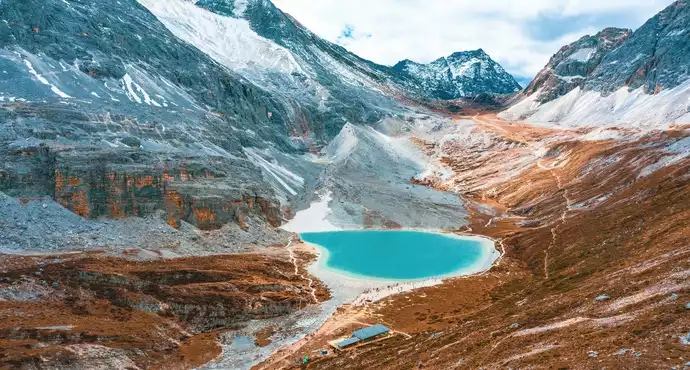
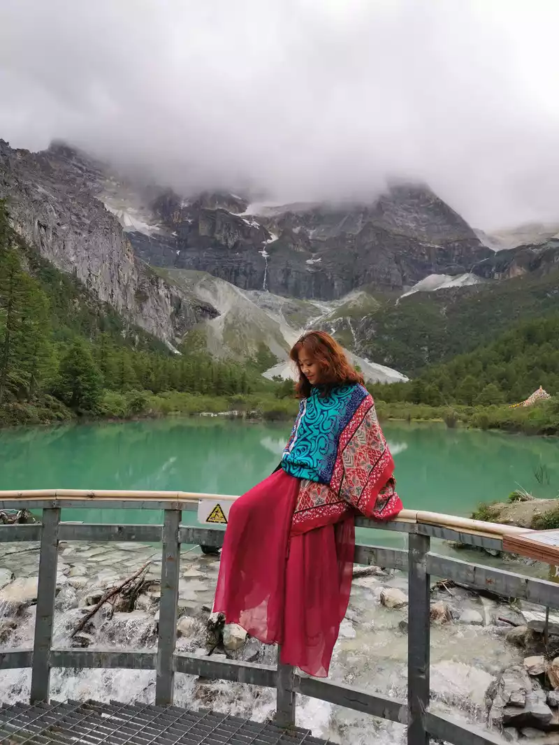
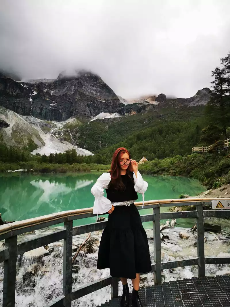
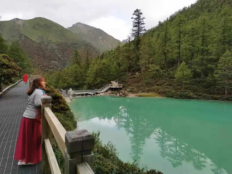
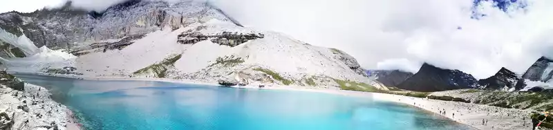
Xingyituo Xingyicuo Tibetan means "offering the lake", located in the ancient glacier site of Haizi Mountain, formed by the erosion of ancient ice bodies, located in the middle of Haizi Mountain, is the most beautiful and largest Haizi in Haizi Mountain 1145 Haizi, freshwater lake, is the main source of the Daocheng River, with an area of about 7.5 square kilometers and an altitude of 4420 meters, consisting of three connected lakes, the bottom of the lake is in the shape of a pot, generally about three meters deep, and the deepest is tens of meters. The lake is rich in plateau yellow croaker, and flocks of yellow ducks inhabit the lake. Wild boars, wild sheep, white-lipped deer, etc. often appear. In 1982, dinosaur tooth fossils were found near the lake.
Hingycuo is the only lake in the area with a sandy beach. The lake is flat and lush in pasture, and is the grazing base of herders in Sangdui Township.The lake is rippling, there is a moist beach nearby, and small fish can be seen from time to time on the shallow water; In the distance are snow-capped mountains, and the mountains and rivers are connected into a line ......
The above are what can be seen in sunny and blue sky and white clouds, but unfortunately when we went, the sky was not strong, and the sky was gloomy and full of dark clouds.
At present, the Xingyicuo Scenic Area has not been built, as if it is abandoned, but the advantage is that there are no tickets!
 The
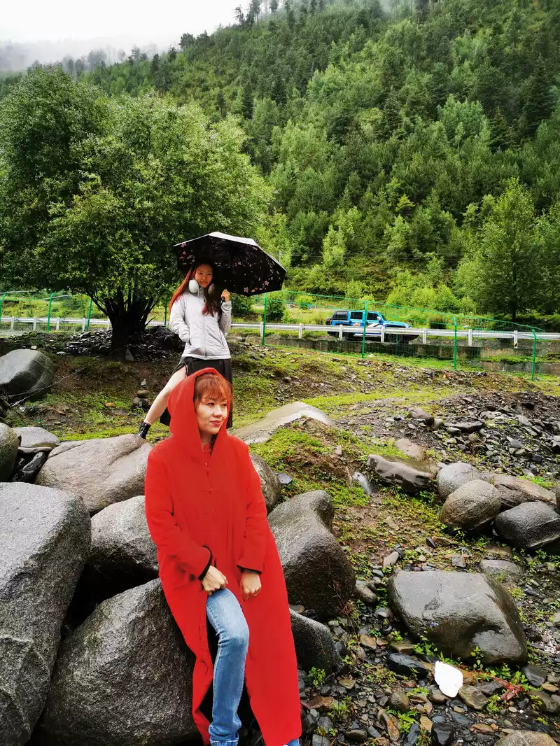
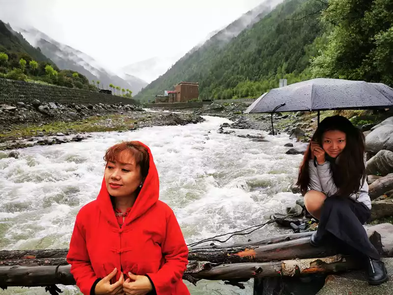
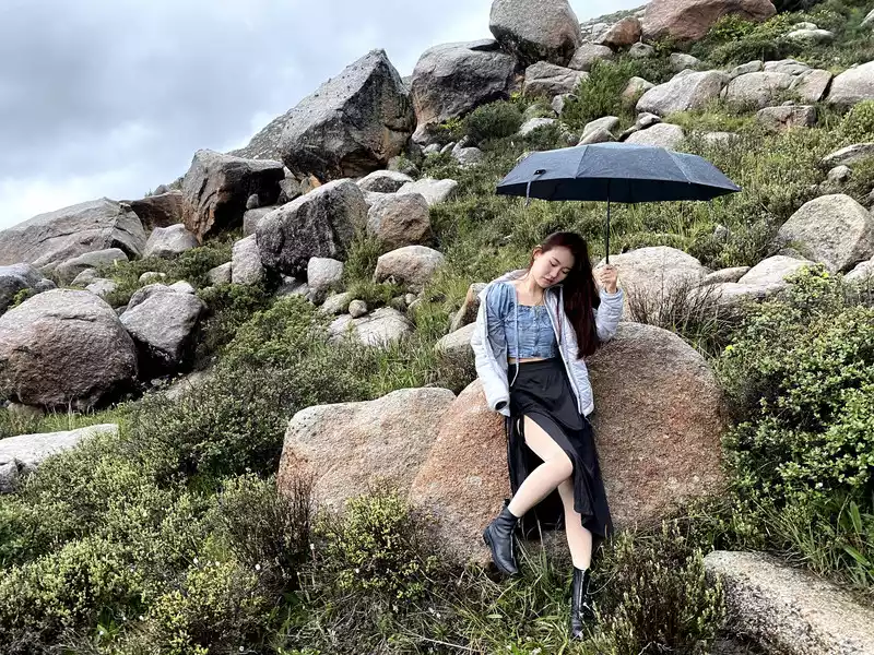
The sky is drizzling from time to time, the wind is not small, it is cold, look at the cold of our daughter.
 Does
Does the rabbit ear grass by the lake look like little rabbit ears?
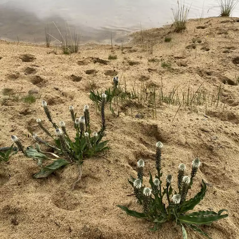
Larvae integra (scientific name: Lagotis integra) is a perennial herbaceous plant of the genus Lagotis in the family Agarose. The root medicine is used as Tibetan coptis. It grows in alpine grasslands and alpine coniferous forests at an altitude of 3200-4800 meters in southwestern Qinghai, western Sichuan, northwestern Yunnan, and eastern Tibet, and has the effect of clearing heat and detoxifying.
 The
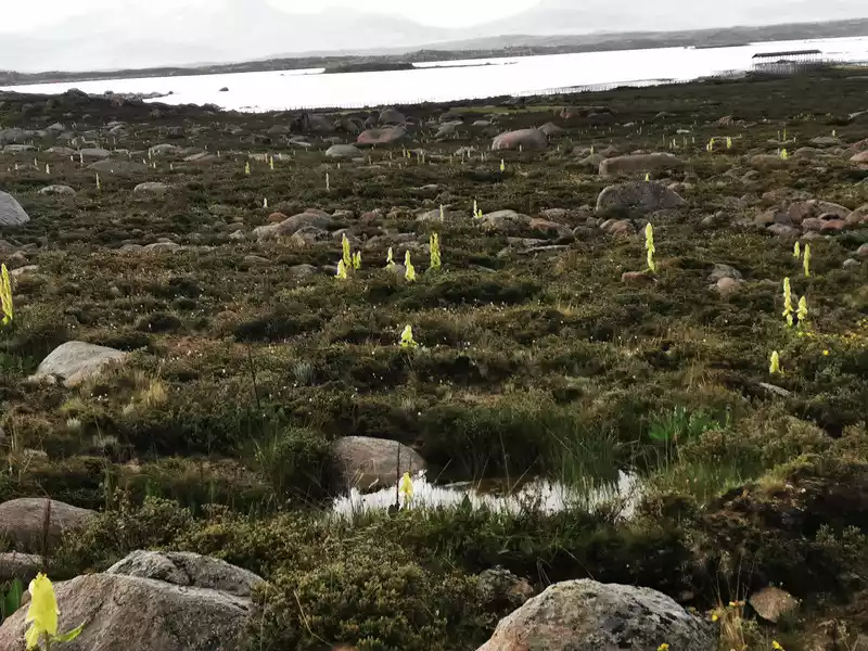
The rocks around the lake are overwhelming, and there is quite a great beauty of Pangu. There are clusters of bracted rhubarb by the lake, which is really spectacular.
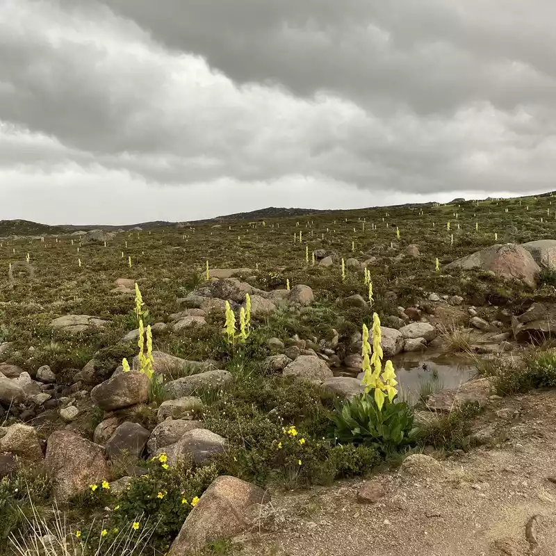
Rhubarb, (Latin scientific name: Rheum alexandrae Batal.) is a perennial high herb of the genus Rhubarb. Single or several clusters, plant height about 80 cm, flower bracts are large, oval, flowering buds yellow, and gradually turn bright red when the fruit is ripe, very gorgeous, from a distance, like candles, very ornamental. Blooms in June-July and bears fruit in September. It is distributed in eastern Tibet, western Sichuan and northwestern Yunnan in China. Rhubarb likes cool, dry climates and has strong cold resistance. It grows in hillside grasslands at an altitude of 3000-4500 meters, and often grows in humid places. The root of bracted rhubarb contains bound and free emodin, emodin methyl ether, rhubarbhenol and tannin, and has a bitter taste. Cold.
Functional indications: clearing heat and detoxifying; Purging; dissolve stasis; Hemostasis. Indications: damp-heat jaundice, heat constipation, amenorrhea, dysmenorrhea, dysentery, trauma bleeding.
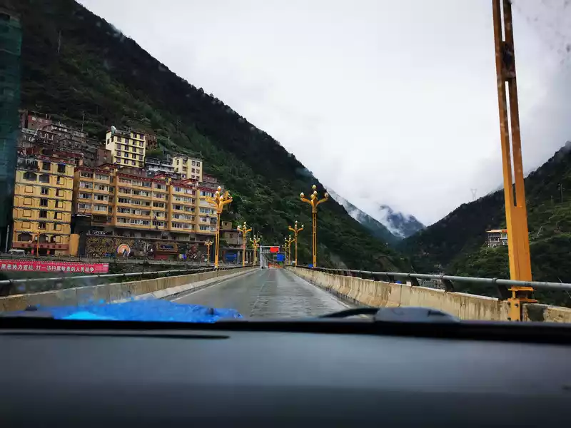
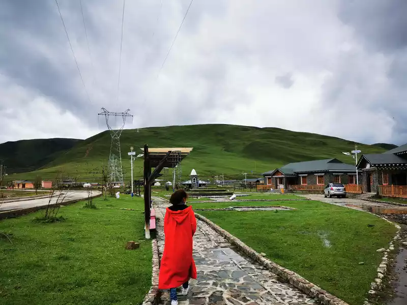
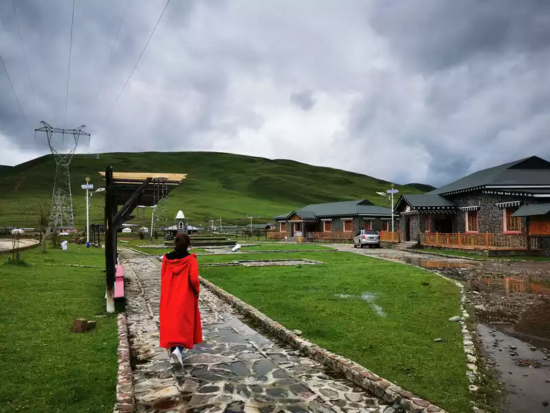
20:00 Arrive at Daocheng Tuzhu Business Hotel
18:25 Start from Xingyitso to Daocheng, along the upper reaches of the Daocheng River through the Sangdui Red Grassland (not seen at night) all the way down, arrive at Daocheng Tuzhu Business Hotel at 20:00, it rained again when you arrived at the hotel, which is quite heavy. The weather is bad, and I am really worried about our trip to Daocheng Aden. After settling in, I went to the attached pharmacy to buy three compressed oxygen cylinders, brought some food and had a simple rest, and I was a little tired after today's long journey.
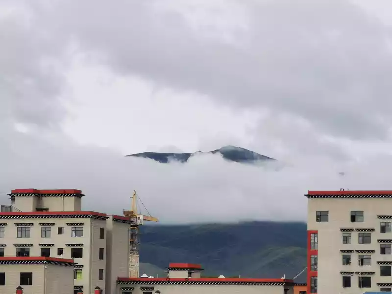
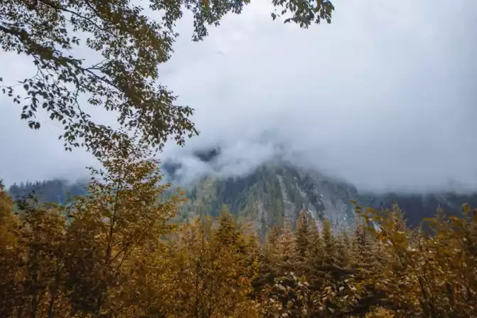
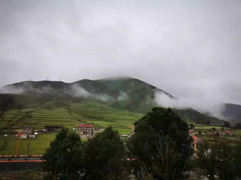
Wake up in the morning and look out from the hotel to see the misty mountains in the distance.
10:20 Departure Blue sky and white clouds in Inagi
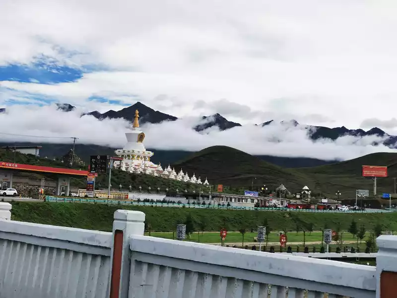
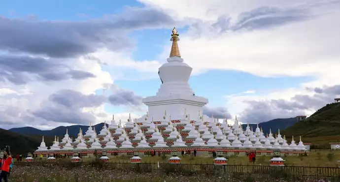
Daocheng White Pagoda, locally known as Zunsheng Tallinn, is the largest white pagoda in Ganzi Prefecture. On the way from north to south to Daocheng, Zunsheng Tower has a total of five floors, the center of the highest floor is a tall white pagoda, 37 meters high, and the three floors of the throne at the bottom of the pagoda are built according to the proportion of the base of the Temple of Heaven in Beijing. There are 15, 23, 31, and 39 pagodas on each floor from top to bottom, for a total of 108 small white pagodas, which is very spectacular.
Zunsheng Tallinn has a particularly important position in Daocheng, which is comparable to a sacred temple in the hearts of Daocheng people and Shangri-La in the hearts of Daocheng people. Locals will definitely go to the tower to pray for blessings whenever they have time. It is said that walking three circles along the pagoda is considered to be a blessing, and it is not possible to walk in double circles, because it is not auspicious enough in Tibetan people.
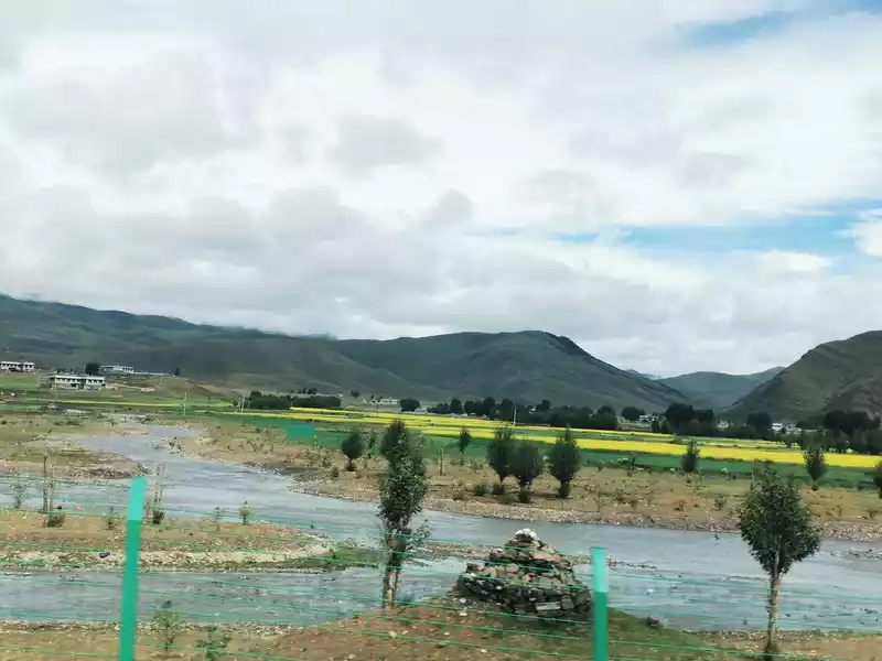
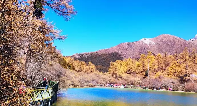
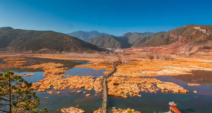
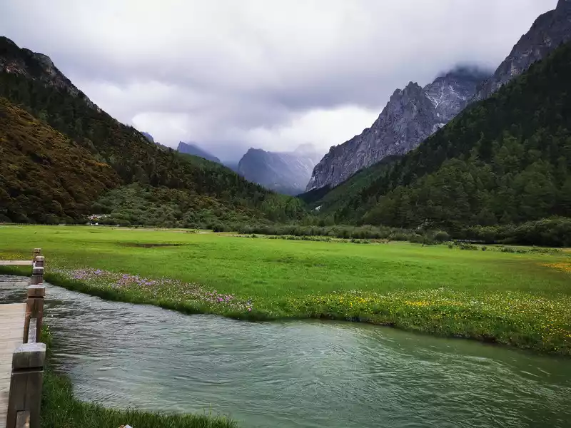
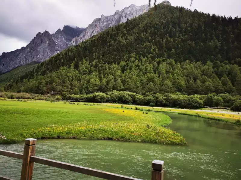
The beautiful Daocheng River Valley has self-driving camps, horse farms, and homestays nearby. In the distance are poplar forests, the poplar forests are green at this time, and the 10,000 acres of poplar forests in late autumn will turn Daocheng into a golden ocean, which is another charm.
Daocheng County is known as the "hometown of green poplar trees", with the most beautiful poplar forest in western Sichuan, and a long time ago it was a barren land with no grass. More than 20 years ago, the location of Daocheng was suffering from sand and dust. In order to solve the pain of sand and dust, the people of Daocheng County carried out large-scale afforestation around the county seat, and these poplar trees are said to have been planted by each person in Daocheng at that time. After decades of efforts by the people of the county, there are now nearly 30,000 acres of poplar forests near Daocheng County, which have been included in UNESCO and are known as "the miracle of the forbidden area of life".
10:25 Pass through the Daocheng River Valley. Along the beautiful Daocheng River Valley, there is a dense poplar forest on the other side of the river.
10:45 Crossing the 4,500-meter Powa Mountain. "Powa" means "heroic, brave mountain" in Tibetan
10:51 Chitu Valley
10:57Meandering along the Chitu River Valley
11:08Meandering along the Chitu River Valley.
Down Mount Powa is the Red Earth Valley, in fact, it is more famous here. From mid-May to early June every year, in early summer, the river valley is covered with gradually blooming alpine rhododendrons, stretching for dozens of miles, and in front of tourists is a beautiful picture of "rhododendrons are like the sea, and the mountains are full of fragrance", which has become the most famous "rhododendron landscape avenue" in Daocheng Aden, hence the name "Rhododendron Valley". There are hot spring villas around the Rhododendron Valley where you can take a nap and soak in the hot springs, and you can also go to the Gonggalang Jiling Temple not far ahead to experience the mysterious Tibetan Buddhism.It's a pity that the rhododendrons have already withered when we go, so let's come back when the flowers bloom.
11:11 Pass Chitu Township
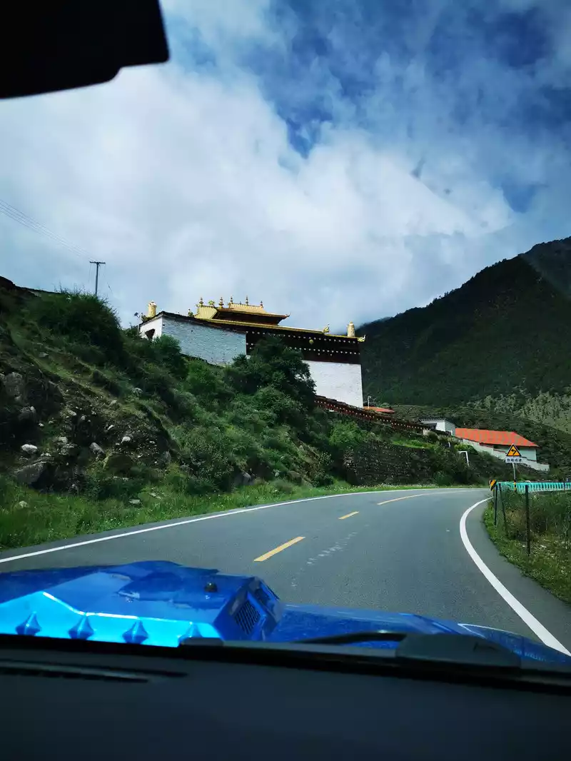 > 11:22 Pass by Gongling Temple
 Galangiling Temple is referred to as Gongling Temple, which means "snow mountain island" in Tibetan, and is the largest Huangjiao temple in Daocheng. The hall has three floors, all of which are typical Tibetan wood and stone structures. In the porch of the main hall are two thick, beautifully carved columns, the patterns on which reveal the mystery of Tibetan Buddhism. The founder of this temple is Jiabu Tangzhu, built in the early years of the Ming Dynasty, about 700 years ago, the original scale is quite large, covering an area of more than 500 acres, and there were more than 300 monks in its heyday.
11:24 Pass by Zhongdui Village
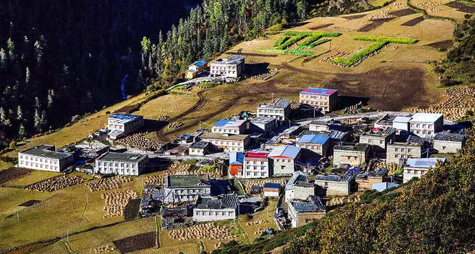
Zhongdui Village means "upper village", which used to belong to the upper village under the jurisdiction of the Riwa Tusi. Located in Daocheng County, Ganzi Prefecture, Sichuan Province, 20 kilometers away from Aden Scenic Area, 8 kilometers away from Shangri-La Town, with an altitude of about 2900-3100 meters, it is one of the best-preserved Tibetan villages around Daocheng Aden Scenic Area.
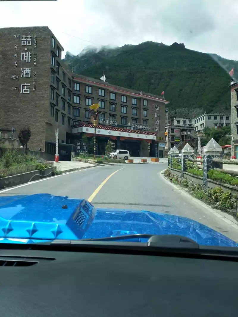
11:41 Pass by Shangri-La Town (Riwa) Zhefu Hotel. A very familiar hotel, we stayed at the Zhefu Hotel when we went to Guangzhou, and there was free coffee. James Joyce Coffetel, one of the mid-range hotel brands under the Botao Group, is committed to breaking the traditional hotel business model and becoming the first mid-range boutique hotel brand that perfectly combines café culture and hotel.
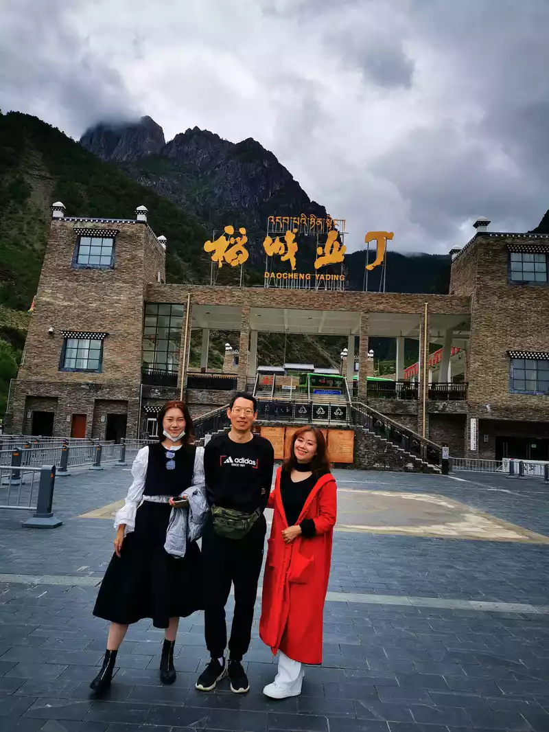
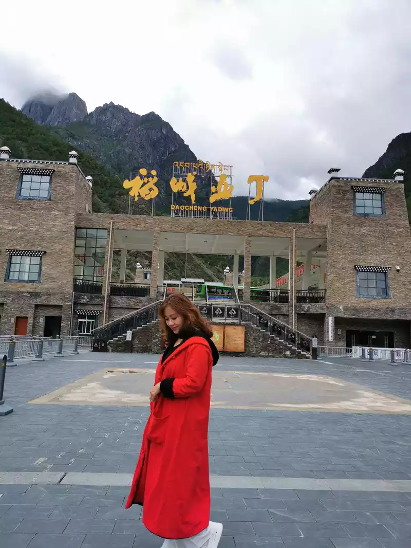
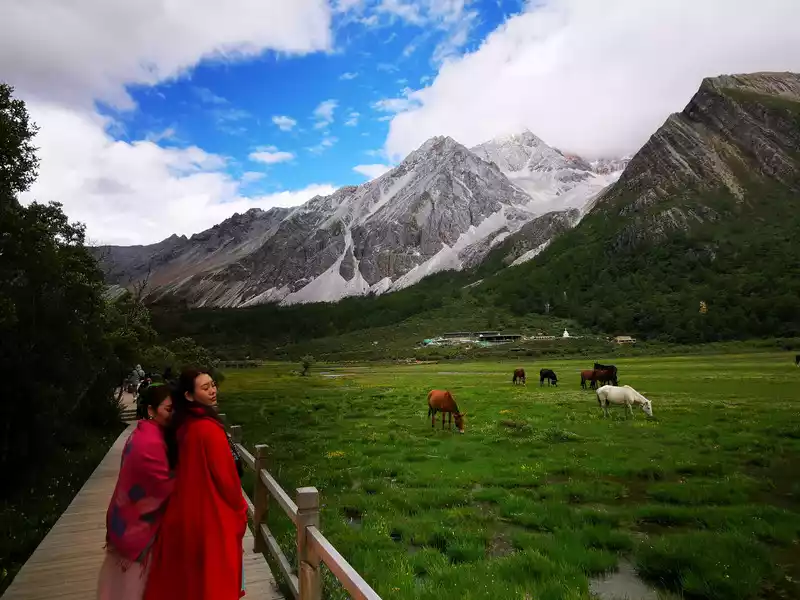
Arrive at the Aden Scenic Area Visitor Center at 11:45. The ticket office of Daocheng Aden Scenic Area is located on the 4th floor of the scenic visitor center building, and there is an underground parking lot downstairs. After passing the epidemic prevention monitoring point at the entrance of the building, go to the elevator entrance and take the elevator up to the 4th floor, and if you don't need to go to the ticket hall, you can directly turn right through the cultural square, take the escalator to the transfer station (under the four characters "Daocheng Aden") and take the bus, which takes about 10 minutes; If you need to buy a ticket, cross the overpass to the ticket hall. We enjoyed the preferential policy of free tickets for medical staff with family members in Aden this time, although we did not bring the original household registration book, but it is okay to take pictures, very humanized management, like one! Then start our trip to Daocheng Aden with a good mood.
 I walked
 gently through Daocheng Aden with a beautiful mood.
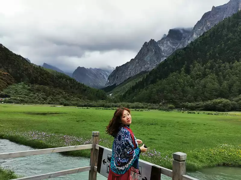
Introduction to the scenery of Daocheng Aden
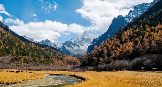
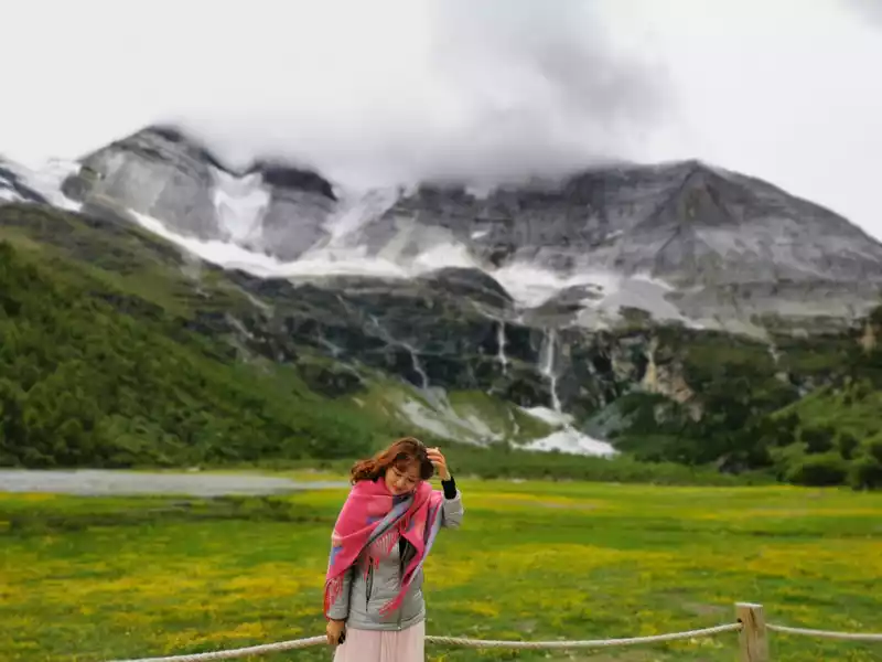
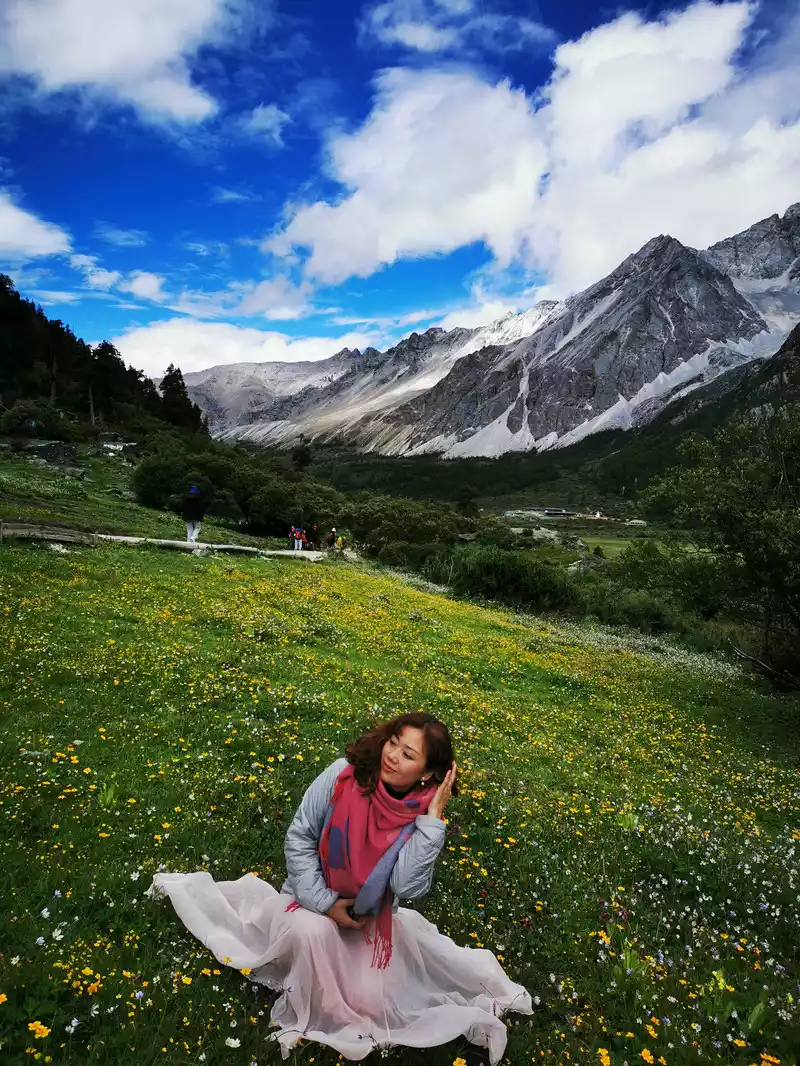
Daocheng Aden Scenic Area is located in Aden Village, Shangri-La Town, Daocheng County, Ganzi Tibetan Autonomous Prefecture, Sichuan Province, and is a national nature reserve. Aden Tibetan means "land of the sun", also known as Nianqing Gonggarisong Kampo, that is, "holy place". It is famous at home and abroad for its unique original ecological environment, majestic, strange, beautiful and beautiful high-grade natural scenery, mainly composed of the three sacred mountains of "Xiannai Ri, Yang Maiyong and Xiano Dorji" and the surrounding rivers, lakes and alpine meadows, almost all the most beautiful things on the snowy plateau are gathered here. Its scenery maintains the purity of being almost extinct on the earth, because of its unique landform and original natural scenery, it is known as the "soul of Shangri-La" and "the last Shangri-La", and is known as "the last pure land on the aqua blue planet" by international friends, and is a paradise for photography enthusiasts.
The main attractions of Daocheng Aden
1. The main sacred mountain of the three pillars
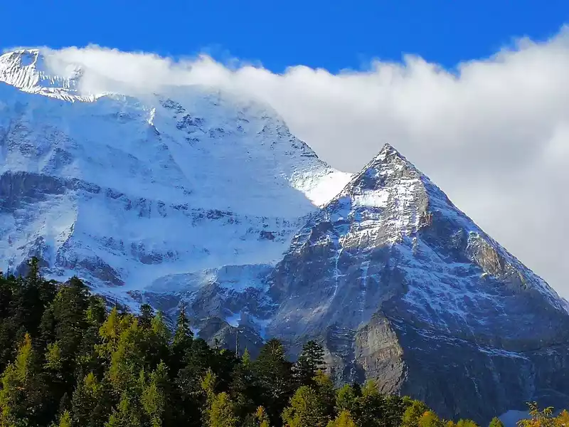
Xian Nai Ri (Tibetan: Guanyin Bodhisattva) is 6,032 meters above sea level, Yang Maiyong (Tibetan: Manjushri Bodhisattva) is 5,958 meters above sea level, and Shano Dorjee (Tibetan: Vajra Hand) is 5,958 meters above sea level.
2. The Pearl Sea, the Tibetan name is "Dolma Latso" (meaning "Tara Lake Lake"), legend has it that the Pearl Sea is the soul lake of White Tara, a lake formed by the melting snow of Xiannai Day, at an altitude of 4,100 meters, it is the lowest sacred lake in Aden, and it is also recognized as the best place to photograph the reflection of Xiannai Day.
3. Five-color sea, Tibetan name "Tenzin Cuo", due to the refraction of light, the lake surface presents five different colors and is named, located between Xiannairi and Yangmaiyong, at an altitude of 4,700 meters, the lake surface is circular.It is a famous sacred lake in Tibet along with Yangzhuo Yongcuo, Namchoo and Mapang Yongcuo in Tibet. It is said that it can "reenact history and predict the future".
4. Milk Sea, Tibetan name "Russian Rongcuo", 4600 meters above sea level, Milk Sea in the mountain hollow of Yangmaiyong Snow Mountain, in the shape of a scallop, because of the blue snow water in the middle, surrounded by a circle of milky white water is named after it, it is an ancient glacial lake, shaped like a droplet . The lake is surrounded by soft alpine meadows, surrounded by snow-capped mountains.
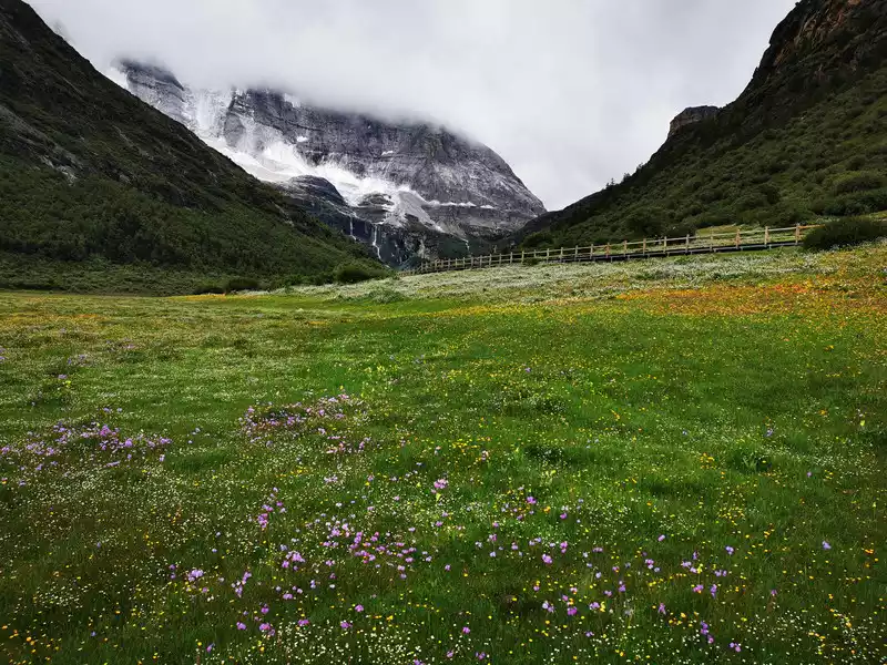
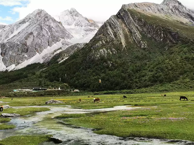
5. Chonggu Meadow is a natural bonsai composed of grassland, forest and stream, standing here you can see the style of Xian Nai Ri and Charan Dorji. It is also a must-pass place to go to Chonggu Temple, the foot of Xiannai Ri, and to the Holy Water Gate and Luorong Cattle Farm.
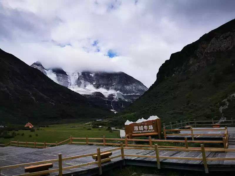
6. Luorong Cattle Farm is an alpine pasture at an altitude of 4,150 meters, backed by three sacred mountains, Xiannai Ri, Yang Maiyong, and Xia Nuo Dorji, which is the best place to see the three snow-capped mountains.
7. Chonggu Temple, which means "temple at the source of the lake", is located at an altitude of 3,900 meters and is located at the foot of the Xiannai Ri Snow Peak. Founded in the Yuan Dynasty, nearly 800 years ago, it belongs to the Huangjiao Temple. The main hall of the temple is dedicated to the founders of the Gelug school of Tibetan Buddhism (i.e. the Yellow Sect): Tsongkhapa , Shakyamuni Buddha, Guanyin Bodhisattva, Manjushri Bodhisattva, Vajra Hand Bodhisattva, etc.
8. Holy Water Gate, legend has it that it is a holy gate to the Shambhala Kingdom.
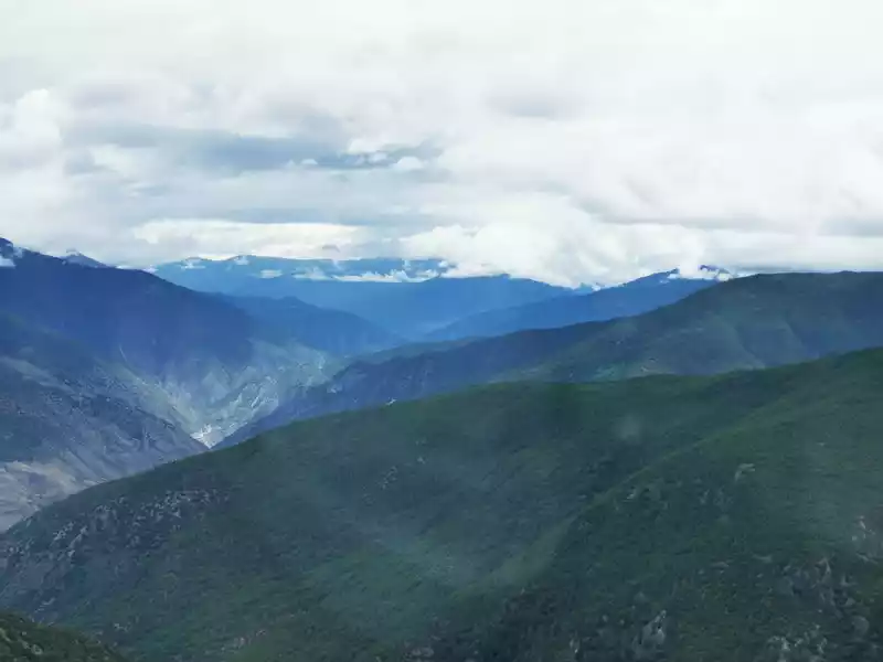
13:13Panshan Highway view
13:20 Panshan Highway overlooked

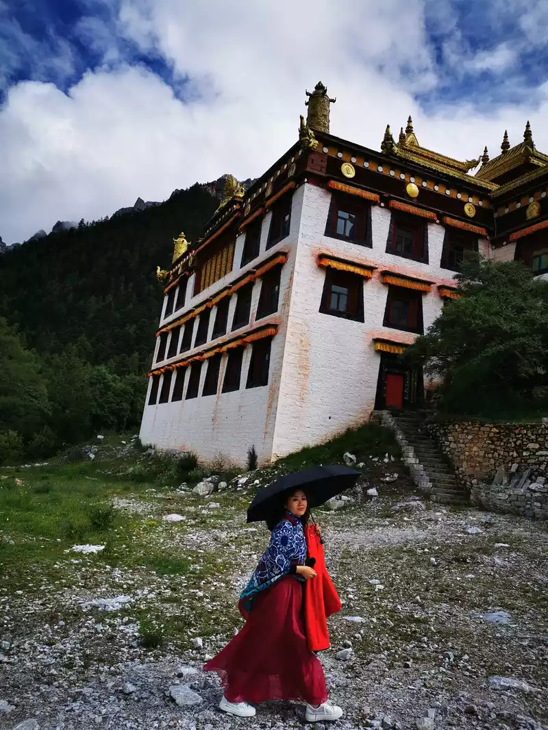
13:40 Arrive at Dinh Xia Duo Inn and take a picture in the lobby of the inn.
Dingxiaduo Inn is located in the Aden Village Group in the Aden Nature Reserve, in the Aden Scenic Area, you need to buy a ticket to enter by scenic bus. The owner of the homestay is called "Ding Ye", but he is actually a handsome guy. The hardware conditions of the homestay are average, but what we like is its service and humanistic characteristics, and we stayed in Dingxia for two nights. In the evening, "Ding Ye" personally taught the secret book of high anti-anti-anti (soaking feet at night, breathing on the mountain belly), telling us the most labor-saving hiking route, which is really practical! The next day was much easier to take a long walk.
14:54 Wait for the bus in Aden Village to take a short line in the scenic spot.
14:58 Aden village, the weather is sunny.
15:00 Daocheng Aden short-term
look at the strategy and Ding Xiaduo's boss recommendation in advance, the first day to take the short line and the second day to take the long line is a more scientific way.
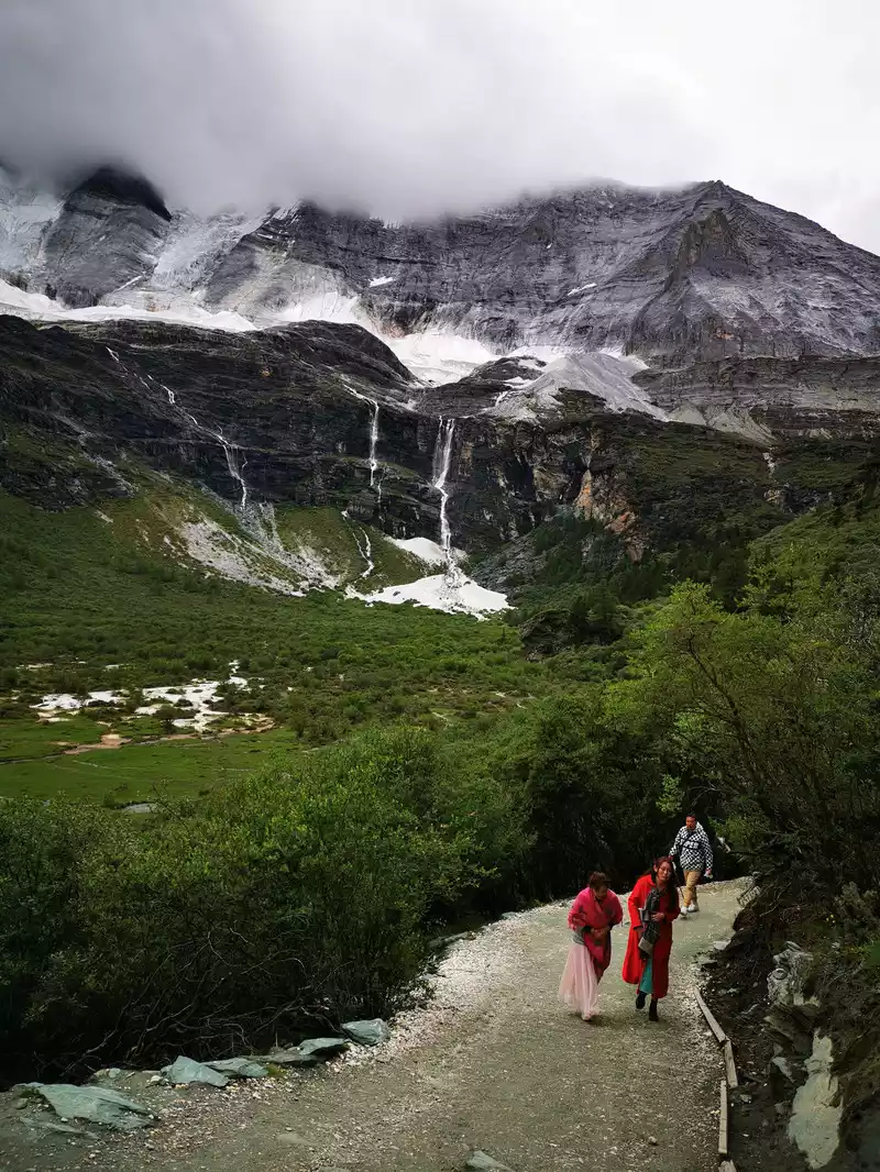
Short-term: Take the scenic bus from Aden Village to the terminal station to the Guanben Visitor Center. "Zha Guan Collapse" means "the end of a big mountain cliff" in Tibetan, "Zhaguan" means "practice cave on the top of the mountain", and "collapse" is the tail, which means the dam under the mountain rock. According to legend, there were eminent monks practicing on the cliff cave there, and then a temple (Zhaguan Temple) was built according to the cave.
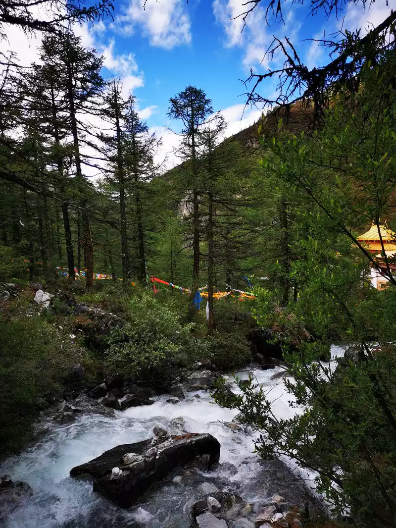
After getting off the bus from Zhaguanbeng, walk up for about 15 minutes to reach the Chonggu Temple Tourist Service Center (Chonggu Meadow). There are two roads to choose from, the right road is a steel and wooden step, and the left road is a cement road, both of which can go up to Chonggu Meadow, and the river scenery along the way is beautiful.
After getting off the bus, we took the steel and wooden steps on the right and went along the milky white river to wash the ancient meadow
Chonggu Meadow, this is the filming location of "Passing by Your World", the place where Mao Eighteen proposed to Lychee, and the place where Chen Mo and Yao Ji met again in the last scene of the movie. Remember that classic line? "There is a place called Daocheng, and I want to go there with my dearest person! Look at the white snow-capped mountains and watch an autumn fairy tale, as long as you are the last. ”
Although there is no blue sky and white clouds in the movie today, it is still very beautiful, like a fairyland. In the depths of the white clouds in the distance hides the majestic Xiano Dorji Snow Mountain.
Blue sky and white clouds occasionally appear
16:25 Depart from the Pearl Sea. Drink a sip of hot water first to recover your strength.
Three tricks to prevent high anti-rebellion: abdominal breathing, drinking hot water, and oxygen inhalation. In addition, we have to take rhodiola in advance before going to the plateau, and we started taking it a week or two in advance.
16:28 Walk past Chonggu Temple
16:41 Follow the river from Chonggu Temple
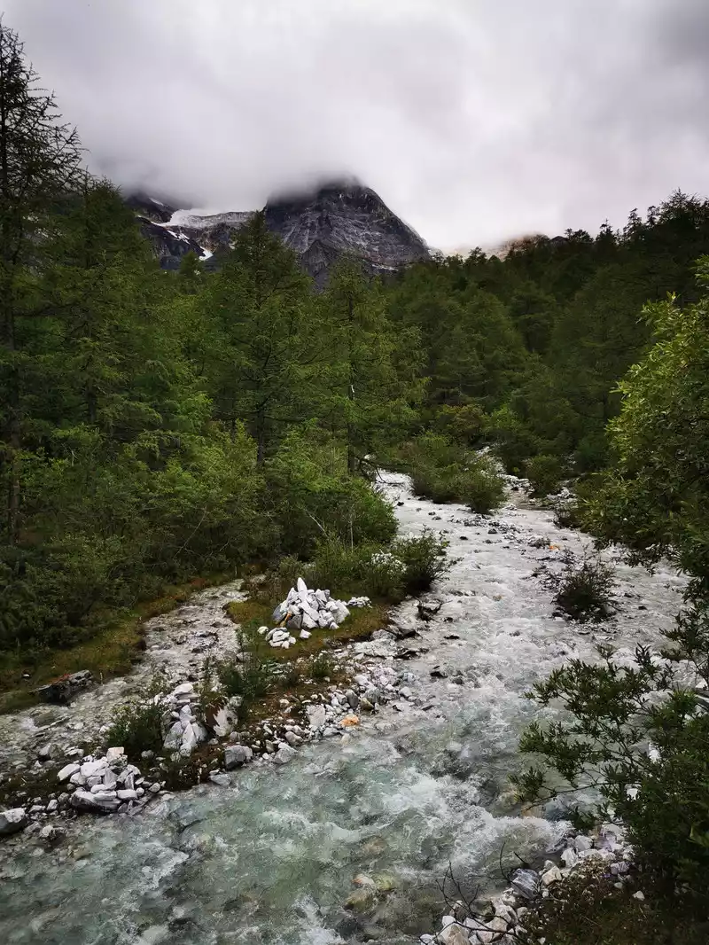
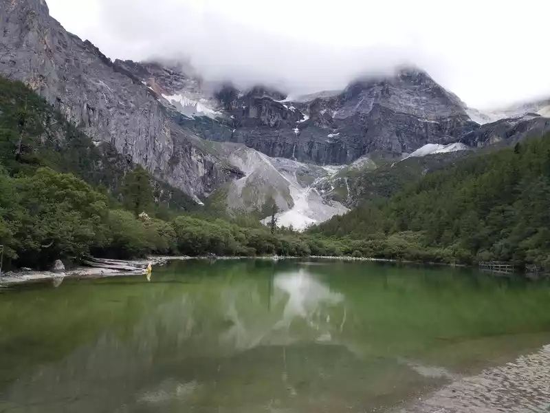
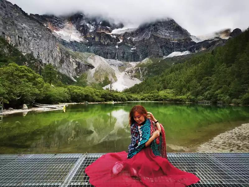
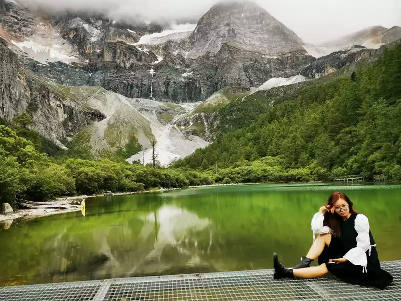
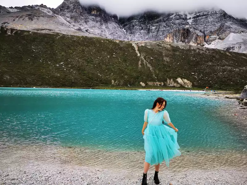
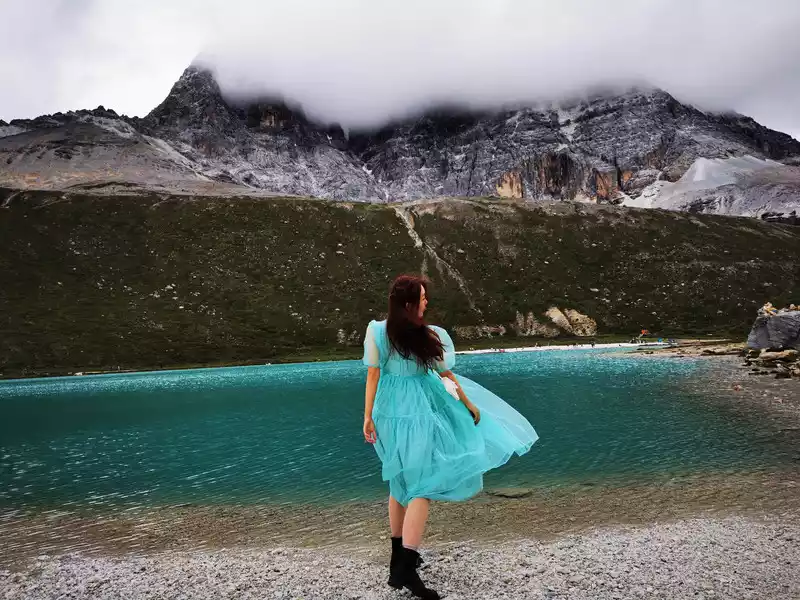
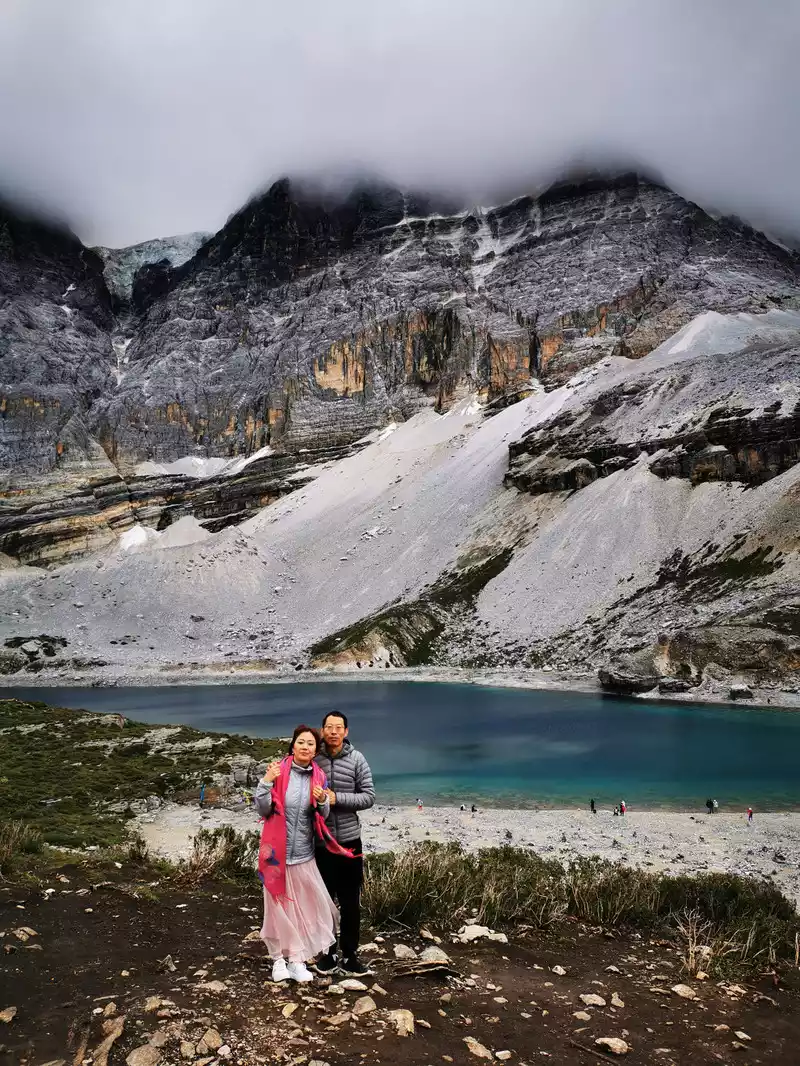
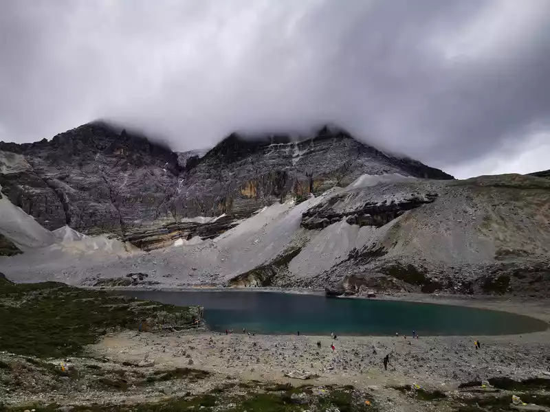
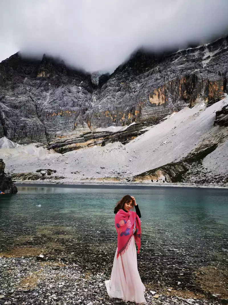
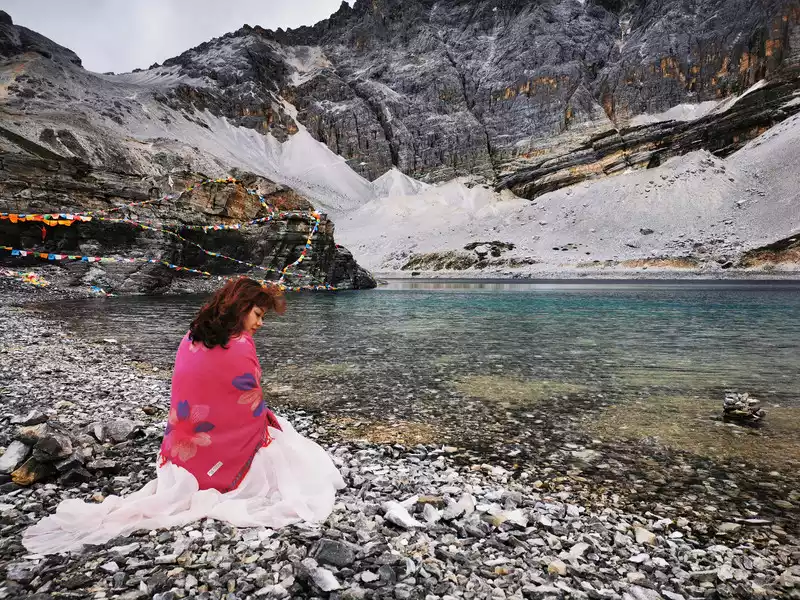
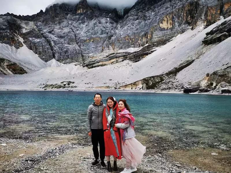
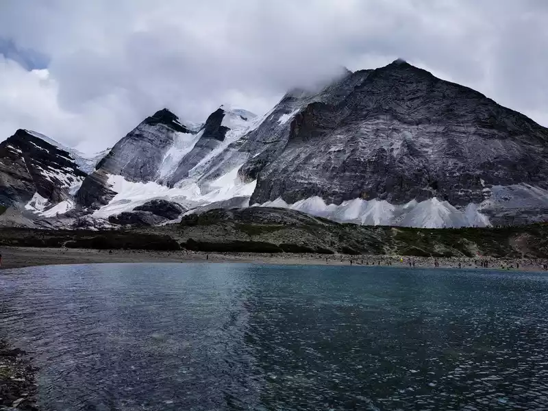
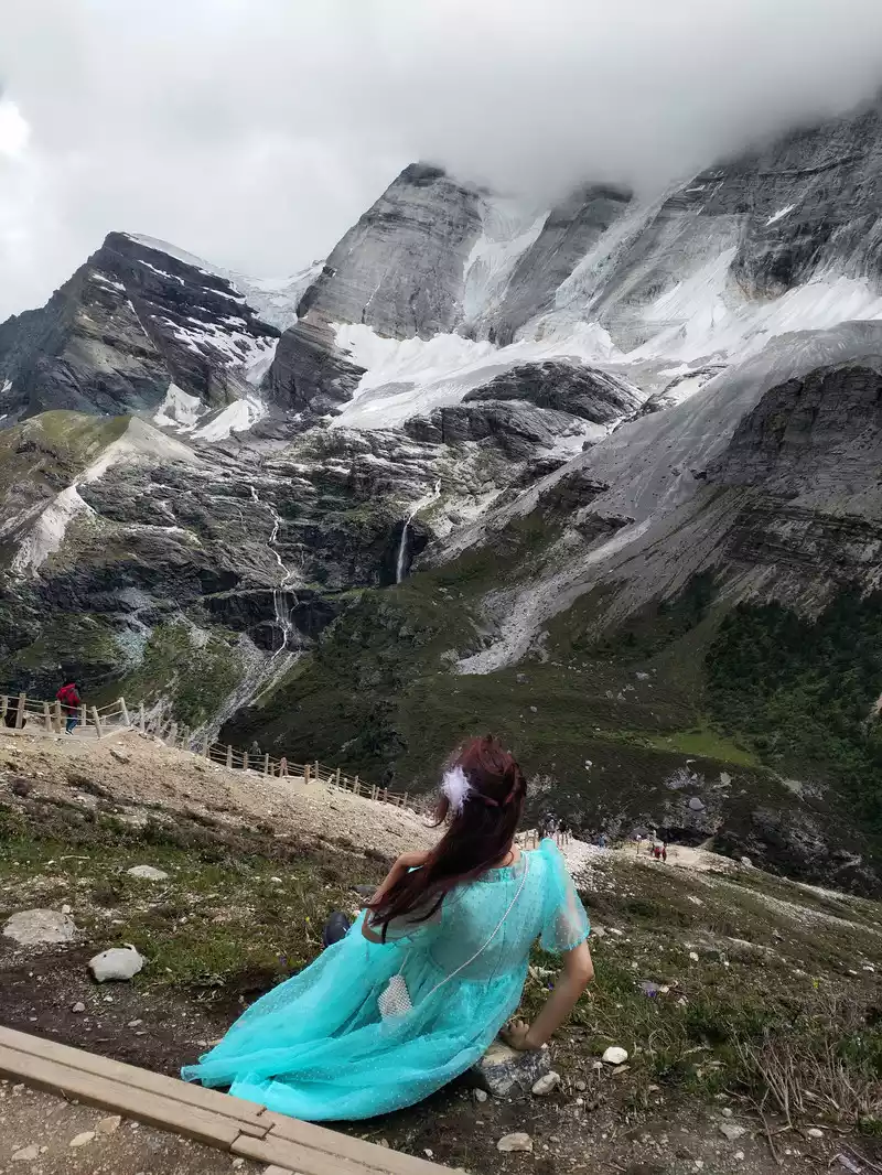
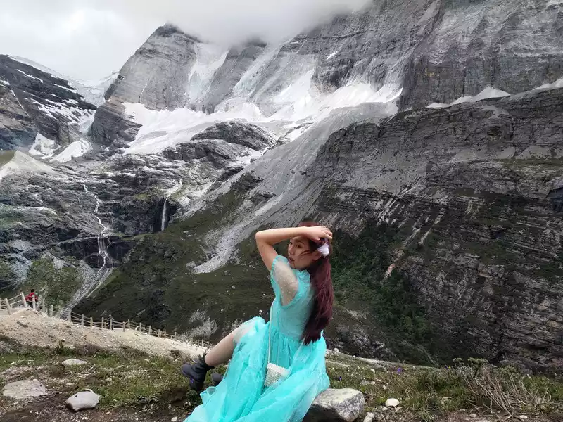
17:05 Pearl Sea Xiannai Day
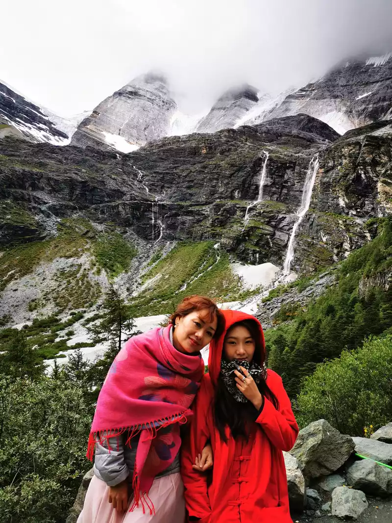
After half an hour of difficult travel of 1 kilometer along the steps, I suddenly saw a calm and green lake, a sea of pearls, and a jade that fell into the world. The Xian Nai Ri Snow Mountain behind the Pearl Sea was shrouded in a mysterious veil by the clouds and mist, and she was deeply shocked, and there was an urge to cry, could it be Shangri-La in everyone's hearts?
Xiannai Ri, which means "Guanyin Bodhisattva" in Tibetan, is the first of the three sacred mountains and the second of the Buddha's position, she is charitable and peaceful, warm and peaceful, she is the Shangri-La in the hearts of many people, and it is a sacred mountain that can fulfill wishes. At 6,032 meters above sea level, it is the fifth largest mountain in Sichuan. The top of the peak is covered with snow all year round, and the pearl lake below the mountain reflects the majestic snow-capped mountains, and a sense of sacredness arises spontaneously.
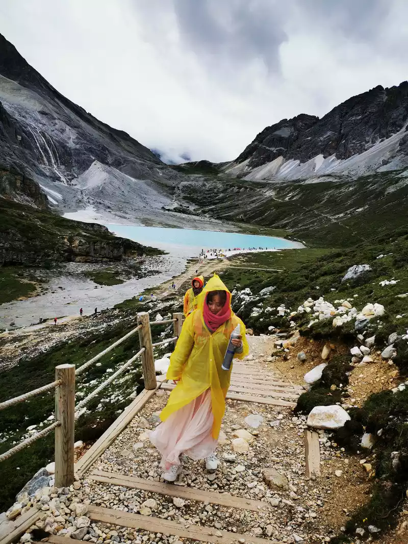
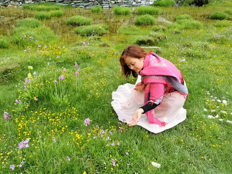
18:32 When I came down from the Pearl Sea and passed by Okikoji Temple, I encountered a sea of flowers.
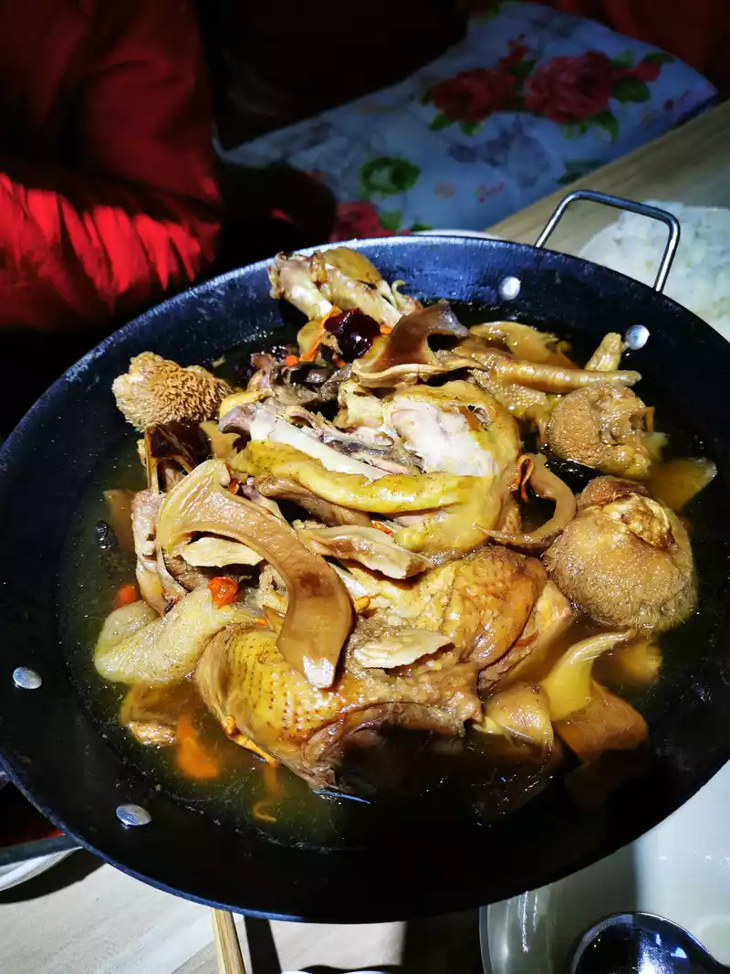
19:30 End the short flight back to the hotel. Let's eat a matsutake mushroom stewed chicken to treat us to the tired, in fact, the long line of the next day is the real test.

8:00 Wait for the bus at the Aden Village station, get on the bus at 8:20 and start the long-term tour of Aden.
8:45Take a photo with the Xiannai Snow Mountain at the battery car transfer center.
8:50 Take the battery car to Luorong Cattle Farm
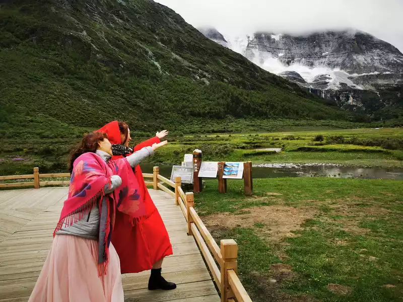
and pass through the Holy Water Gate to overlook the Yangmaiyong Snow Mountain
 > 8:50 The battery car departs from Chonggu Meadow, There is an attraction on the way, the Holy Water Gate. After passing the Holy Water Gate, Yangmai Yong Sacred Mountain suddenly appeared in front of him.
 The Holy Water Gate is the site of a glacier, named for the shape of the gate that naturally forms on the opposite cliff. Legend has it that this gate leads to the "Shambhala Kingdom", and if you practice to a certain height, you can see the scene in the door. According to the monks of Gongling Temple: In June 1998, the monk Ding Zhen Living Buddha of the former Gonggalangiling Temple and his party came here to turn the mountain, and the accompanying monks looked at the gate from under the armpit of the Ding Zhen Living Buddha and saw the monks in the door saluting the Ding Zhen Living Buddha. At the same time, at Yangmai Yong Shenshan, Ding Zhenhuo Buddhist Xiao Zanba saw a group of monks walking out of the glacier of Shenshan. According to legend, milky white holy water spews out from the Holy Water Gate on the 15th day of the fourth month of the Tibetan calendar every year.
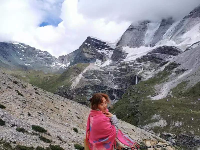
09:09 The battery car arrives at the terminal Luorong Cattle Farm, from which it is a 5-kilometer hiking road, and you can only hike or ride horses to the Milk Sea and the Five Colors Sea.
Luorong Cattle Farm is 4,200 meters above sea level and is an alpine pasture for nearby Tibetans grazing. It itself has a vast and magnificent scenery, surrounded by three sacred mountains, Xian Nai Ri, Yang Mai Yong and Xia Nuo Dorji, and the Gongga River flows slowly from the grassland, complementing the pasture wooden houses, forming a primitive and charming scenery, in which tourists are like entering the mysterious realm of Shangri-La. Luorong Cattle Farm is also a must-pass place to the five-color sea and milk sea, and Xiaozhuan Shenshan Xiannai also passes through here (starting from Chonggu Temple, passing through Luorong Cattle Farm around Xiannai Ri, the whole journey is 20 kilometers).
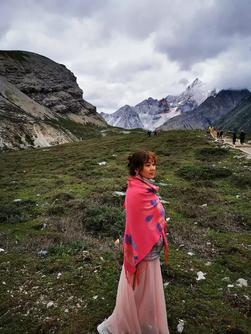
Get ready to go, and put on a cheerful look! It's quite cheerful now, and when I come back in the evening, it's a different look, let's wait and see (snickering).
 In
In the distance, Yangmai Yong Shenshan is still shrouded in a veil of mystery, waiting for your visit.
Yang Maiyong, which means "Manjushri Bodhisattva" in Tibetan, is the embodiment of wisdom in Buddhism, is the southern peak of the three snow-capped mountains, the first Buddha position, and the altitude is 5,958 meters. Yangmai Yongshen Mountain resembles the sword of wisdom in the hands of Manjushri Bodhisattva, pointing straight to the sky, and the ice and jade stand proudly under the sky. In the wide canyon under the snowy peaks, forests, grasslands, and streams are harmoniously integrated, creating a reckless, quiet and gentle scene that jumps out in front of you. In 1928, American explorer Mr. Joseph Locke saw Yang Maiyong from a distance in the mountains of Daocheng, and was impressed by her holy and noble temperament, he wrote in his diary: "She (Yang Maiyong) is the most beautiful mountain in the world I have ever seen."
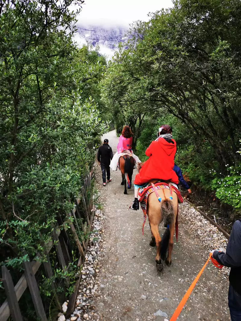
9:45 Horseback riding 3.5 kilometers from Luorong Cattle Farm
Thereis a horse gang management station opposite Luorong Cattle Farm, and you can choose to ride a horse to the bottom of the mountain and then hike to the Milk Sea or the Five-Color Sea. 300 horses are ridden, one-way (the horses on the return trip are all empty), and they must be less than 150 pounds, and the heavy ones are not pulled. From the Ma Bang Management Station (altitude: 4180m) to the Ma Bang operation terminal (altitude: 4450m) is the Ma Bang operation line, with a total distance of 3.5KM. We set off at 9:45 for nearly half an hour of horseback riding. The remaining 1.5 kilometers are steep steps up the mountain and can only be walked.
Dismount and hike up the mountain. Behind it is Yangmai Yong Snow Mountain
Climb to the Mani pile and prayer flag halfway up the slope.
11:25 Soon to the Milk Sea
Afterpassing this flat road, you will arrive at the Milk Sea
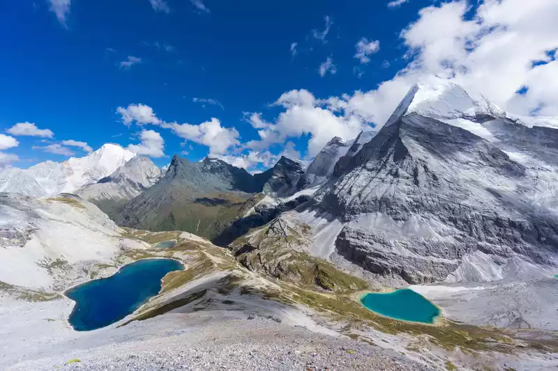
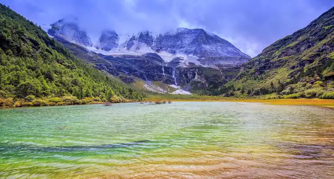
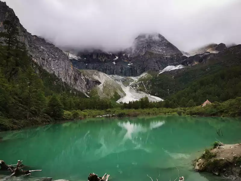
11:30 Milk Sea
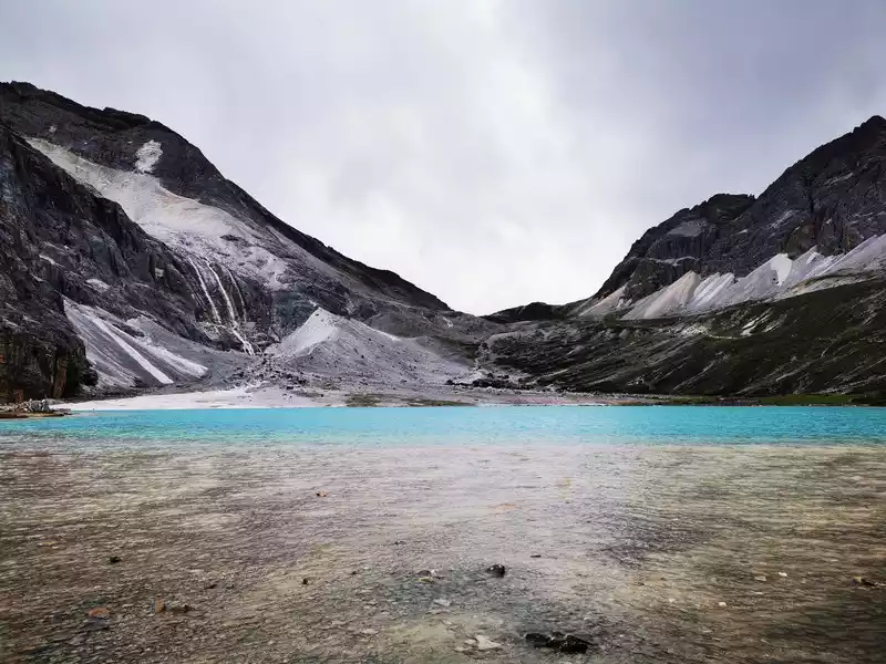 >After a difficult 1.5-kilometer climb of an hour from 10:30 to 11:30, we finally arrived at the Milk Sea. The milk sea is hidden in the mountain hollow of Yangmaiyong, is an ancient glacier lake, surrounded by snow-capped mountains, the lake water in the middle is blue, and the lakeside is surrounded by a circle of milky white, which looks like a dream, the wind by the lake is very strong, and from time to time there are some cold rain stars, we put on a poncho and hide behind a big rock by the lake to rest for a while to replenish some energy. At 12:00, the photo mode was officially turned on.
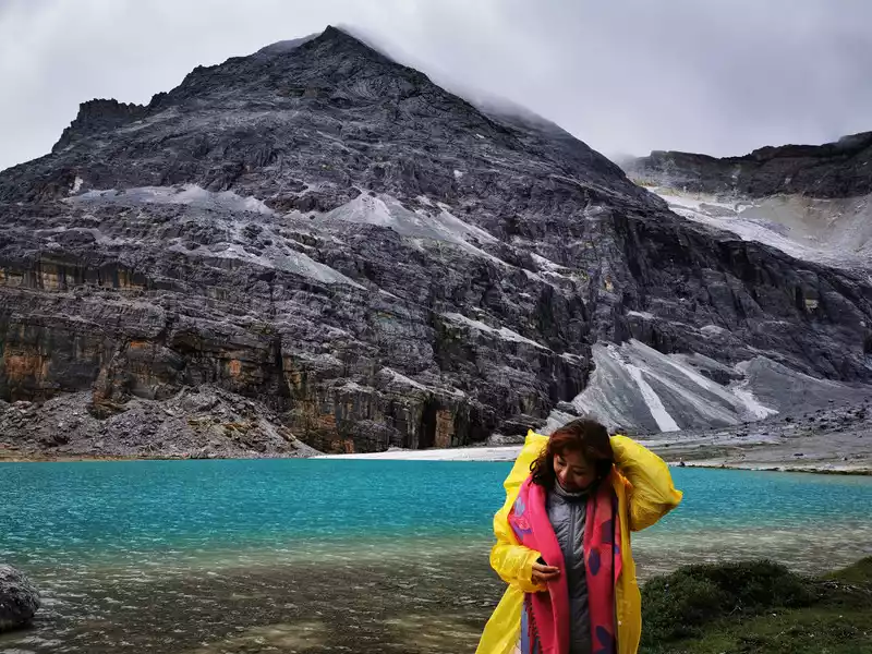
 From the
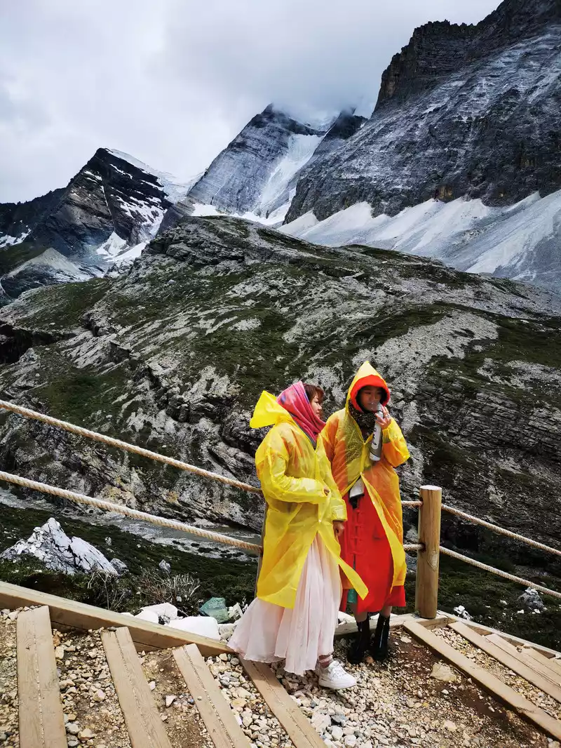
 sea of milk behind you, go up the steps 500 meters and you will find the five-colored sea. The poncho on his body blocks both wind and rain, and the weather is sunny, cloudy and rainy, and he is marching with oxygen cylinders in his hand.
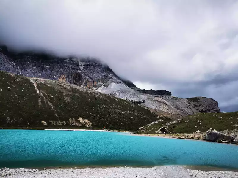
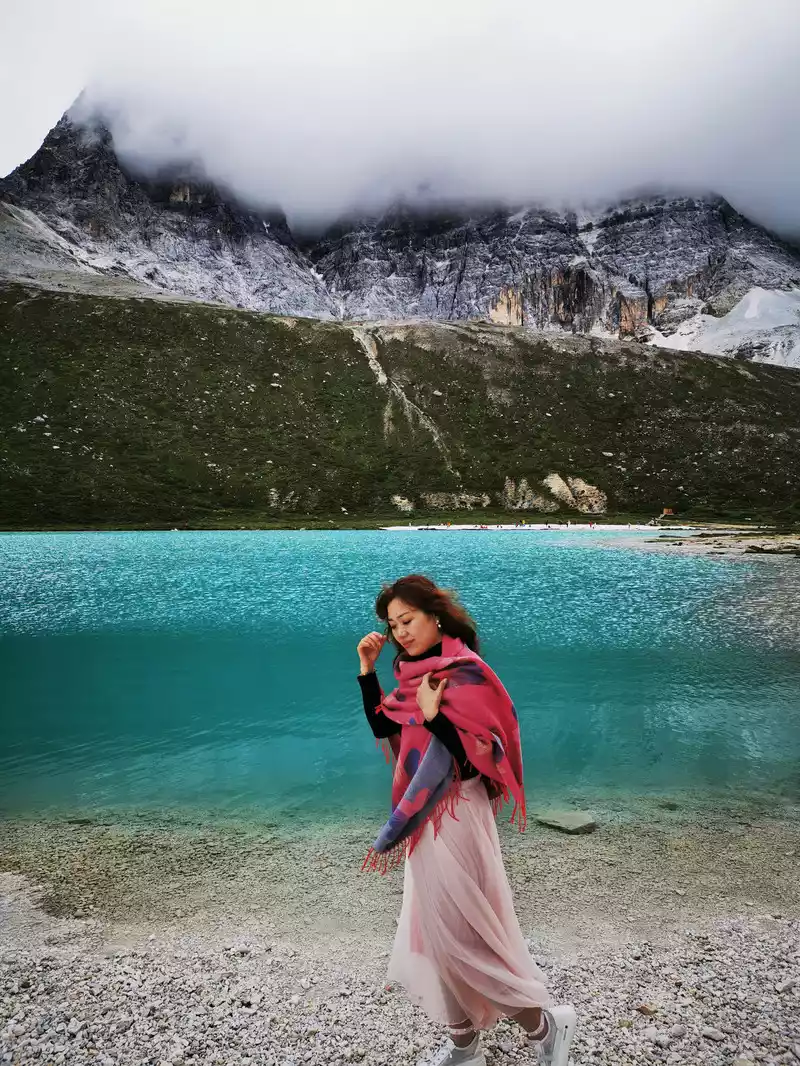
13:50 The sea of colors
 The
The reeds are green, and the white dew is frost. The so-called Yi people are on the other side of the water.
Yangmaiyong Snow Mountain from the lake.
15:00 Return from the five-colored sea. The return road from the Milk Sea is 5 kilometers, first you have to take a 1-kilometer steep slope step road, and then take a 3.5-kilometer horse road.

A gust of wind passed, the thick fog dissipated, and Yang Maiyong suddenly revealed his true body, and then slowly disappeared.

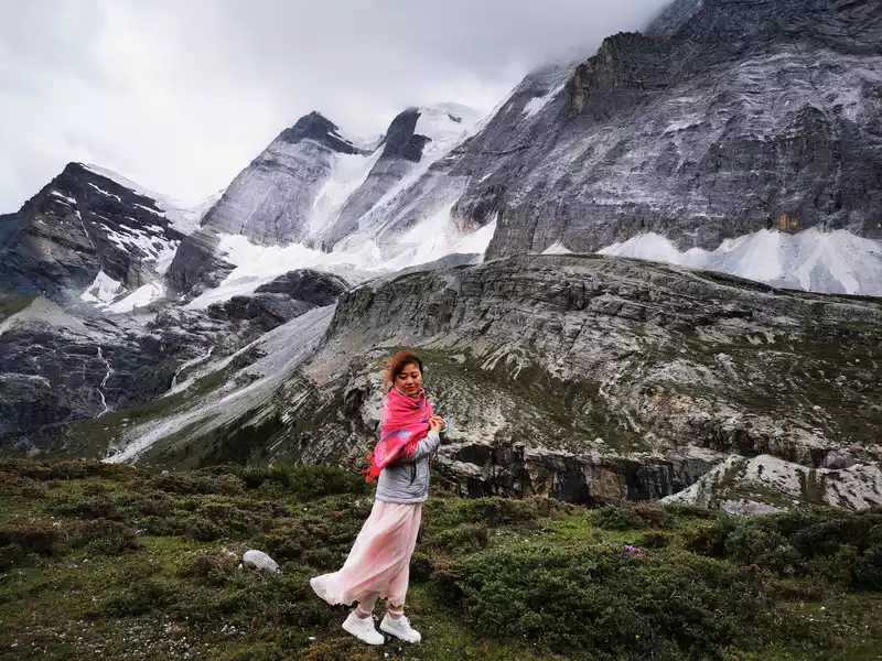
15:50Walking past Yangmaiyong Snow Mountain
 In the
 difficult march, I couldn't care about the beautiful scenery at this time.
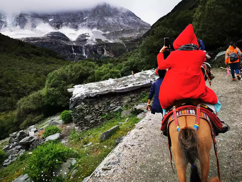
17:00See the half-body of the Xiano Dorji Snow Mountain
The scenery on the way back is spectacular, accompanied by Yangmaiyong Snow Mountain, and the front half of Xiano Dorji Snow Mountain in front of the road. Towards evening, the sky in the predecessor of the Xiano Dorji Snow Mountain suddenly cleared, revealing several shorter snow-capped mountains in its predecessor, but unfortunately we still did not see the true face of the Xiano Dorji Snow Mountain until we returned by car.
Although the jade face of Xiano Dorji cannot be seen, the alpine meadow in front of the mountain is still beautiful and picturesque.
Among the three snow-capped mountains, Xiano Dorji is closest to the pyramid, with sharp and powerful peak lines, towering between heaven and earth, and is a god of eliminating violence and peace in Buddhism. "He was like a brave and energetic young man, straddling a colorful tiger skin and a sinful python around his waist." American explorer Mr. Joseph Locke compared Xiano Dorge to the god of thunder in Greek mythology.
Look at how tired you are, the photo is about to fall asleep. Do you remember that handsome pose when you first set off? No more one? (Snickering)
17:30 Return to Luorong Cattle Farm
Rest for a while and then look at Xiano Dorji
Thereturn horse road is purely on foot, and the horses of the horse gang are only one-way, and they do not carry people back, and the horses are already very tired to run a one-way trip. After a difficult 5-kilometer hike, we rested countless times, drank a lot of water, and absorbed oxygen, and finally returned to the Luorong Cattle Farm. In the second half, the girl almost walked down with our support, and she was able to climb the milk sea and the colorless sea today, which is already amazing, and she can be proud. On the whole, compared to usual, the girl's performance this time is already very brave.
At 17:50, take the battery car back from Luorong Cattle Farm, go to the battery car terminal - Chonggu Temple Station at 18:10, walk another 20 minutes from Chonggu Temple Station to the Zha Guan Beng Bus Transfer Center, and return to Aden Village at 18:50. Because we got on the long-term bus out of the scenic spot at the Zha Guan Beng Bus Transfer Center, we got off at a stop a little further away from Aden Village (back to Aden Village we should take a short line at the Zha Guan Beng Bus Transfer Center), although it was only a few hundred meters, but the girl really couldn't walk, so I had to ask Ding Xia Duo Inn for help, "Ding Ye" personally drove down to pick us up, thank you very much, next time I will stay at your house.
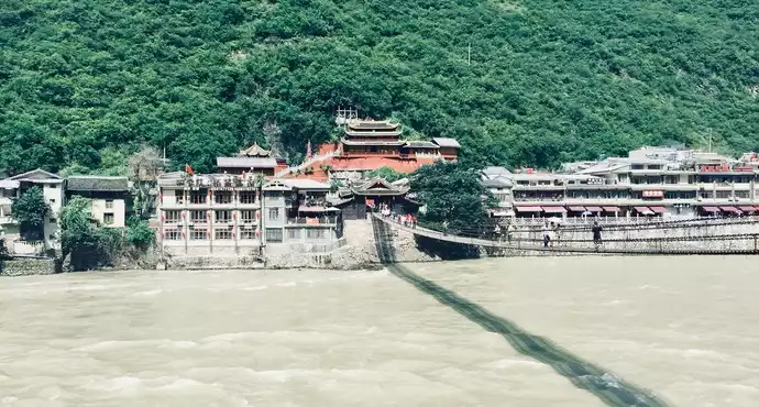
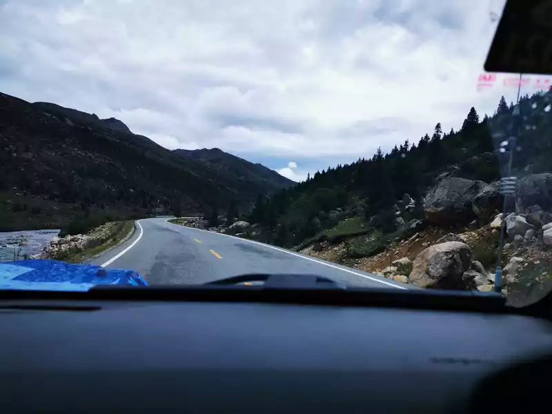
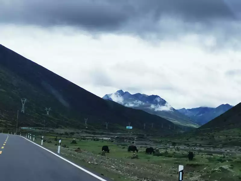
From Daocheng Aden to Balagzon, it is a steep and long journey. The highest point of the road is 4,600 meters, the lowest is 2,000 meters, the height difference is 2,600 meters, and there are many collapsed sections along the way, and the general car may scrape the chassis.
Starting from Shangri-La Town, Daocheng County, turning west through Chitu Township, passing through Mula Township and Qingde Town in Xiangcheng County, and then all the way southwest along the river valley, successively passing through Dongsong Township, Xiangcheng County, Sichuan Province, Dongwang Township, Shangri-La City, Diqing, Yunnan Province, Guxue Township, Derong County, Ganzi Prefecture, Sichuan Province, Benzilan Town, Deqin County, Diqing Prefecture, Yunnan Province, and finally passing through a long canyon to Balagzong, the whole journey takes about 7 hours.This road is high and dangerous, and it is rare to meet vehicles along the way, and you may have seen one or two dozen cars. Three days later, we set off from Lugu Lake to Luoji Mountain Ninety-Nine Mile Hot Spring Waterfall was also a difficult and dangerous journey, more than 7 hours, but there were countless cars.
Return from Aden Village at 9:00 and leave the scenic spot at 9:40
When departing from Aden Village, Xiannai Ri Snow Mountain gradually revealed her mystery, a sacred and shocking beauty.
From Daocheng Shangri-La Town, which is 3,000 meters above sea level, turn west through Chitu Township, and then pass through Mula Township, all the way up along the river valley.
11:10 Pass through the Sand Grassland at an altitude of 4,500 meters in Qingde Town, Xiangcheng County.
Sound Grassland, a place rich in cordyceps, is the harvest season from April to June every year. Due to the high altitude, there was no signal on the mobile phone along the way. Also because of the high altitude, the cordyceps growing on the Sound Meadow is famous for its good quality and high yield, and when we passed by, we saw beautiful alpine meadows from a distance, dotted with countless yellow flowers, but unfortunately we didn't stop to take a walk.
11:25 Hovering down from the plateau at 4600 m.
11:40 Take a break on the half slope at an altitude of 3,600 meters and look at the blue sky. The sunlight is very strong, and the ultraviolet rays are very powerful.
11:40 Take a break on the half slope at an altitude of 3,600 meters and look at the blue sky.
11:40 Take a break on the half slope at an altitude of 3,600 meters, which is the upper reaches of the Shuoqu River.
12:26 After passing the Shuoqu River Bridge (2,500 meters above sea level) in Dongsong Township, Xiangcheng County, an hour after passing the 4,600-meter Sound Grassland, We descended 2000 meters.
12:45 There is a section of the collapsed road that is not easy to walk between Dongsong Township and Dongwang Township.
From Daocheng to Dongwang Township, Shangri-La City, Diqing Prefecture, Yunnan Province, there are almost no big towns on the road, and there is no place to buy things.
At 13:00, passing through Dongwang Township, Shangri-La City, Diqing Prefecture, Yunnan Province, I bought some food at Gumu Supermarket to replenish my energy and continued on my way.
13:22 Passing near Shengli Village, Dongwang Township, Shangri-La City, Diqing Prefecture, Yunnan Province.
13:25 Pass by Shuoqu River Bridge, Shengli Village , Dongwang Township, Shangri-La City, Diqing Prefecture, Yunnan Province
13:25 Pass through Shengli Village, Dongwang Township, Shangri-La City, Diqing Prefecture, Yunnan Province
At 13:29, we passed through the steep section in front of Shengli Village, Dongwang Township, Shangri-La City, Diqing Prefecture, Yunnan Province.
Almost all the videos taken on this road today were shot vertically, because the canyon was too deep to see the sky horizontally.
13:38 See another section of the collapsed road
13:40 Passed through the red valley
13:47 Rest by the Shuoqu River
13:47 The green Shuoqu River. Shuoqu River, a tributary of the Dingqu River (Songmai River), a tributary of the Jinsha River in the upper reaches of the Yangtze River. Looking at the other side of the river, but the actual river surface is very wide, throwing stones at the middle of the river on the shore, you can only barely hit the river.
13:51 Take a photo by the Shuoqu River
14:06 Pass through Maowu Grand Canyon
There is a hydropower station built upstream of the Maowu Grand Canyon, the river water is green in the depths of the canyon, the river surface is narrow, the mountains on both sides are steep and deep, and the canyon winds with the river.
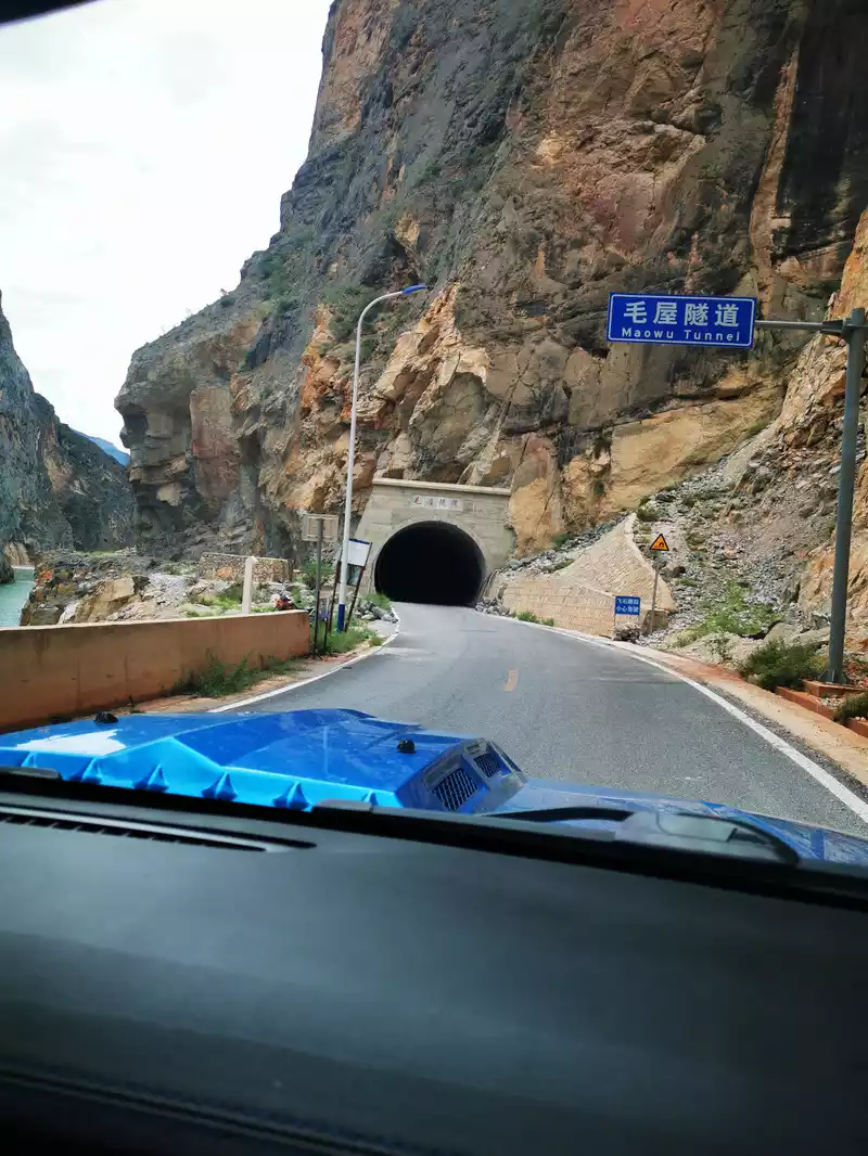
14:07 Pass through the Maowu Tunnel.
14:15 Pass by the Sirongge Shuoqu River Bridge in Guxue Township, Derong County
 >14:18 Passing through Sirongge, Guxue Township, Derong County, there are several hotels on the side of the road: Shenrong Hotel, Tashi Hotel, many hiking enthusiasts come here to eat and stay, and there are also Maowu Grand Canyon, Xingai Temple and other scenic spots nearby.
 14:20 Encounter with cattle on the road
 > 14:27 Pass through the Niangku Tunnel
 14:32 Collapsed section. At the confluence of the Dingqu River into the Jinsha River, there is a large section of collapsed road, full of stones, bumpy passing.
15:03 Passing through the Jinshawan Bridge
TheJinshawan Bridge can not pass the big car can only pass the small car, the entire bridge deck is a steel plate structure, the wind on the Jinsha River is particularly strong, the car can feel the bridge shaking when driving on the bridge, the bridge deck is pressed as a sound, and the heart can't help but feel nervous.
Jinshawan Bridge is located at the junction of Sichuan and Yunnan, with Waka Town (formerly known as Zigeng Township) in Derong County, Ganzi Prefecture, Sichuan Province to the east and Benzilan Town to the west of the bridge to the famous Tea Horse Ancient Road in Deqin County, Yunnan Province. As can be seen from the picture below, the places we have passed through successively: Dongsong Township is in Sichuan, Dongwang Township is in Yunnan, and Guxue Township is in Sichuan.
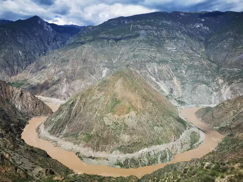
15:12 The winding road leading to the big bend of the Jinsha River
ispicturesque, like swimming in a painting.
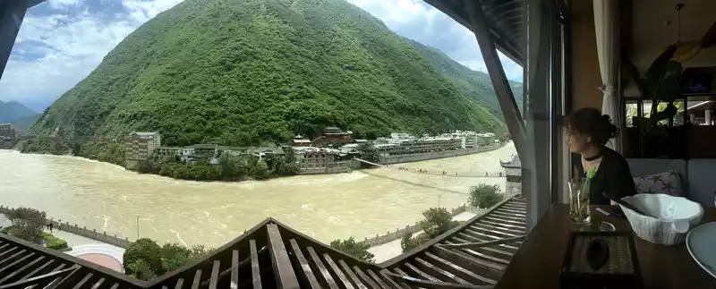
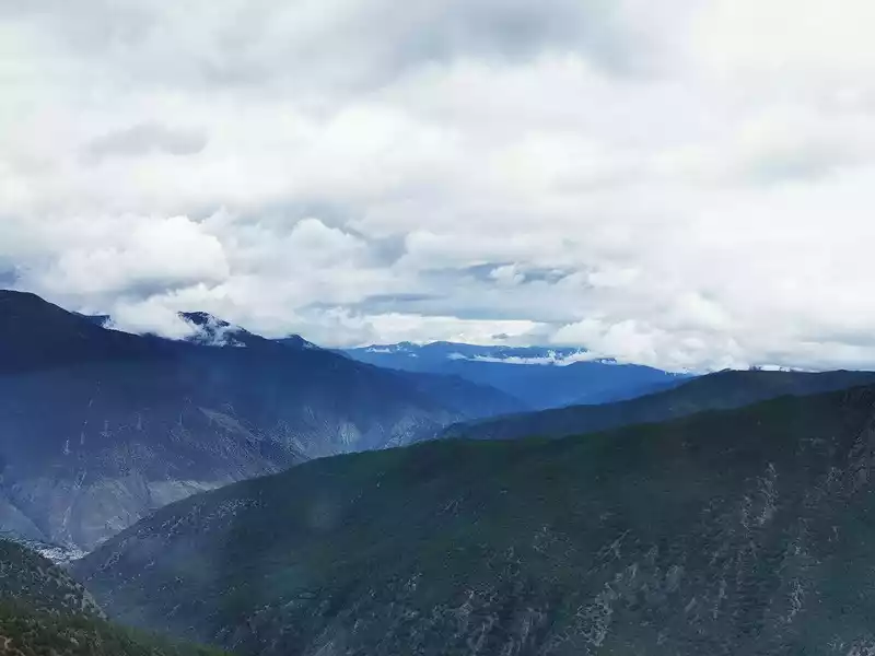
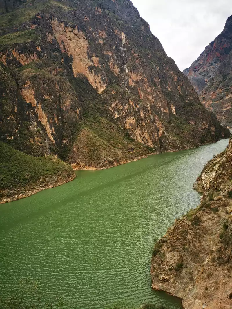
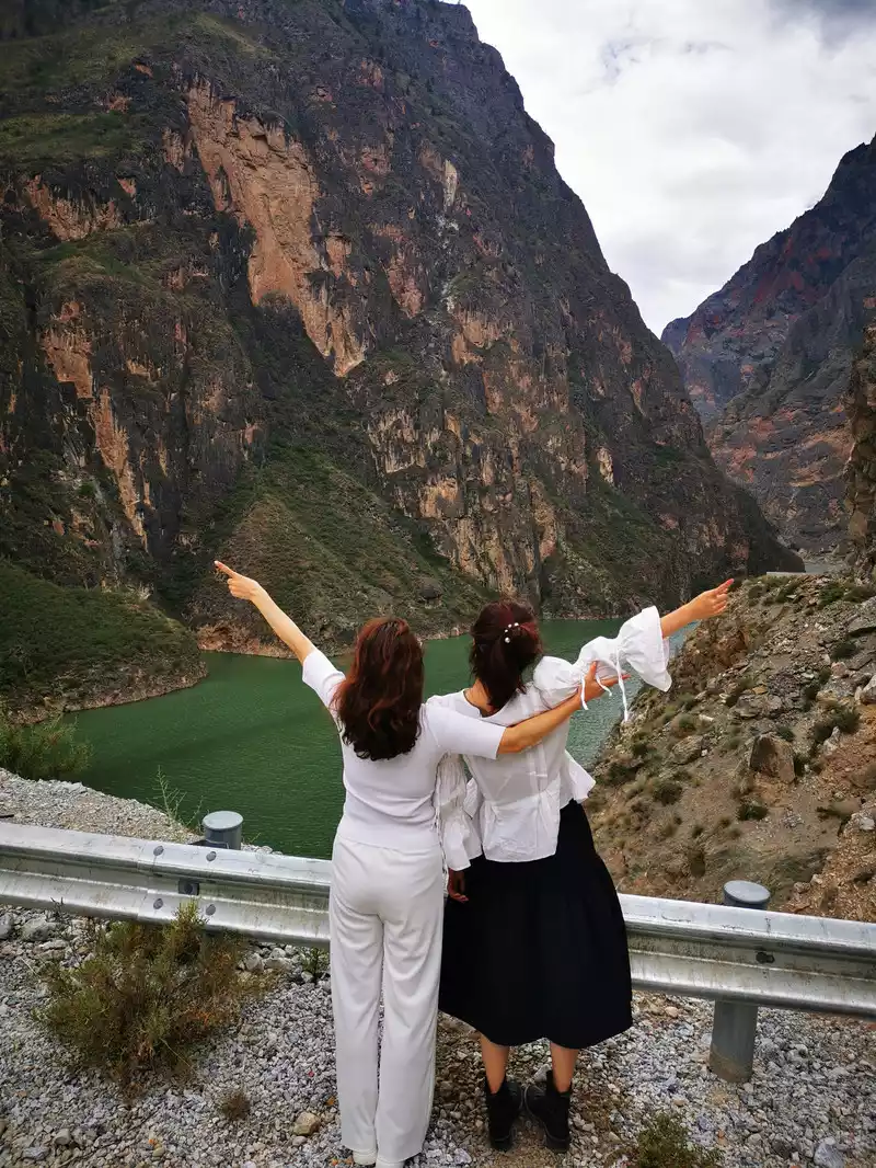
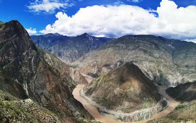
15:30 Jinsha River Bend
Jinsha River Bend is one of the 40 major landscapes in China, overlooking the panoramic view from the top of the mountain, so that people can't help but marvel at the magic of natural creation when they are happy and heart-wrenching! Not far to the west of the Jinsha River Big Bend Observation Deck are Baima Snow Mountain and Meili Snow Mountain, and I can only look forward to going again next time.
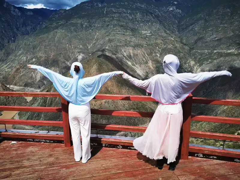
Let's have a wingsuit air show!
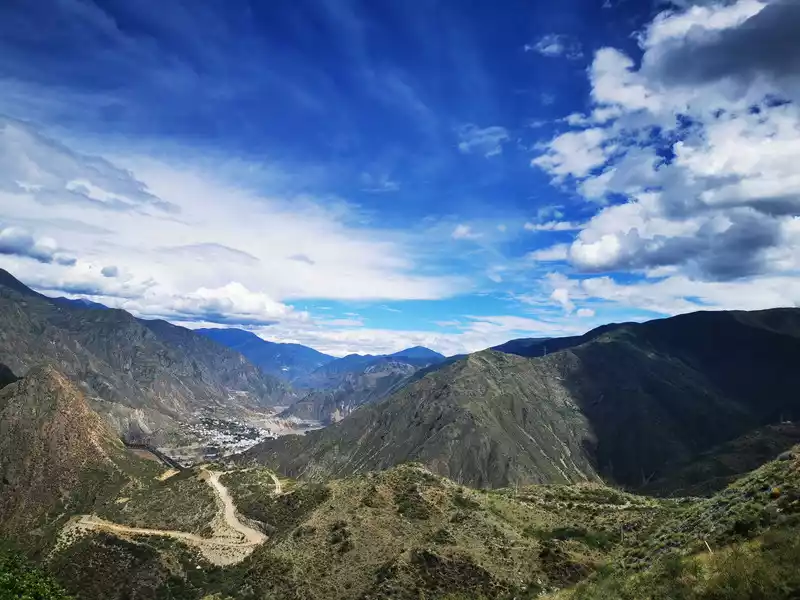
Benzilan Town under the blue sky and white clouds in the distance
16:00 Take the West View Line to Balagzon
After admiring the spectacle of Daguai Bay on the Jinsha River, we returned to Benzilan Town, wanting to learn some fruits or something on the roadside, but really not, I finally saw a vegetable field on the roadside outside the town, and bought a few cucumbers in the past, but it was really not delicious, it seemed that if you want to eat good fruits, you have to go back to Yantai to buy them. Along the western scenic line, follow the right side of the Jinsha River all the way southeast.
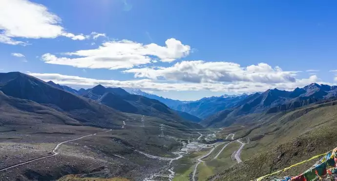
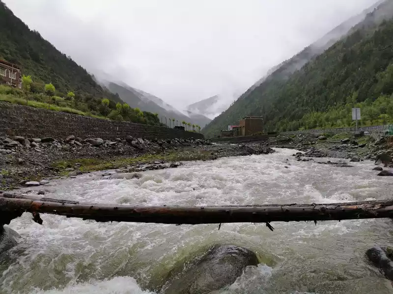
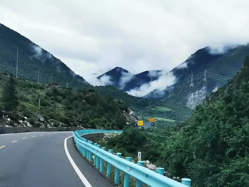
The Xijing Line, that is, National Highway 214, starts from Xining, Qinghai and ends in Jinghong, Yunnan, with a total distance of 3,256 kilometers. The terrain along the route is complex, the climate is cold, and people regard it as a dangerous road. We turned northwest at the confluence of the Gangqu River and the Jinsha River and turned into the Balagzon Grand Canyon. From the entrance of the Grand Canyon to the entrance of the Balagzon Scenic Area (at the hotel where we stayed that day), it is necessary to travel 20 kilometers through the canyon.
16:58 Balagzon Grand Canyon, beautiful Gangqu River water.
After checking into the hotel, take a turn at the entrance of the scenic spot to see the thousand-year-old linden tree and the ancient tea horse road.
Thethousand-year-old Bodhi tree located in the Balagzong Scenic Area, next to a cliff on the side of the road at the entrance of the scenic spot. This Bodhi tree is very different from the Bodhi trees I have seen before: the general Bodhi stands alone, and the branches and leaves extend in all directions, but this Bodhi tree stands against the mountain, and the whole branch seems to be attached to the cliff wall, like a phoenix tail, all the branches and leaves are stretched on the entire half of the cliff wall, covering nearly 400 square meters of the cliff wall! It is precisely because of this that it is named "Phoenix Bodhi Tree". The thousand-year-old phoenix Bodhi tree is the symbol and watchman of the Balag sect.
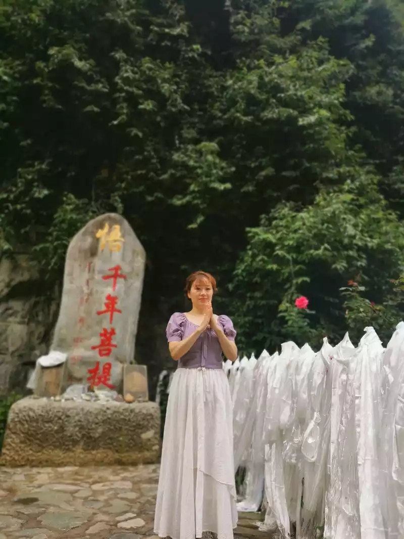
18:50 Millennium Bodhi
The hotel we stayed in, the Balagzong Tibetan Ecological Hotel, is outside the entrance of the Balagzong Scenic Area, next to the Gangqu River.
19:00 Take a photo near the hotel.
After walking all day, have a good meal in the hotel restaurant in the evening, barbecue, want to eat?
Balag Sect and Snading Pearl
Knowing that Balag Sect started from seeing the spectacle of Shangri-La's Grand Canyon in the circle of friends, and if you really want to understand Balag Sect, you will definitely mention a person, a dream builder of Shangri-La, October 27 , 2018 "Reader": Si Ding Zhu. He ran through the horse gang, worked as a "falling master", and also worked as a restaurant owner, and with his ingenuity and tenacious perseverance, he became a multimillionaire in his 30s. Sina Dingzhu has always adhered to a dream: to build a road that connects the closed hometown and the wonderful world outside. He wants to change the poor and backward appearance of his hometown and make his hometown rid of poverty and prosperity. He sold his hardware store, sold the restaurant that had been in operation for many years, mortgaged his house and car, borrowed money everywhere, asked for loans everywhere, invested 800 million yuan in 10 years, and just relied on a tenacity to carve out a sky road on the cliff in ten years, creating a national 4A-level scenic spot, and lighting up the coordinates of his hometown on the map. Now the villagers can earn 5-100,000 yuan a year, but Si Na Dingzhu, who has made the whole village rich, has become a billionaire.
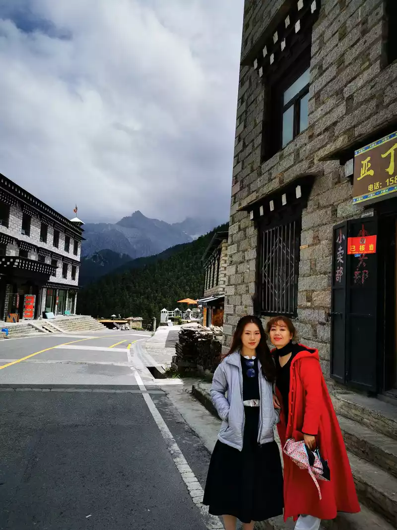
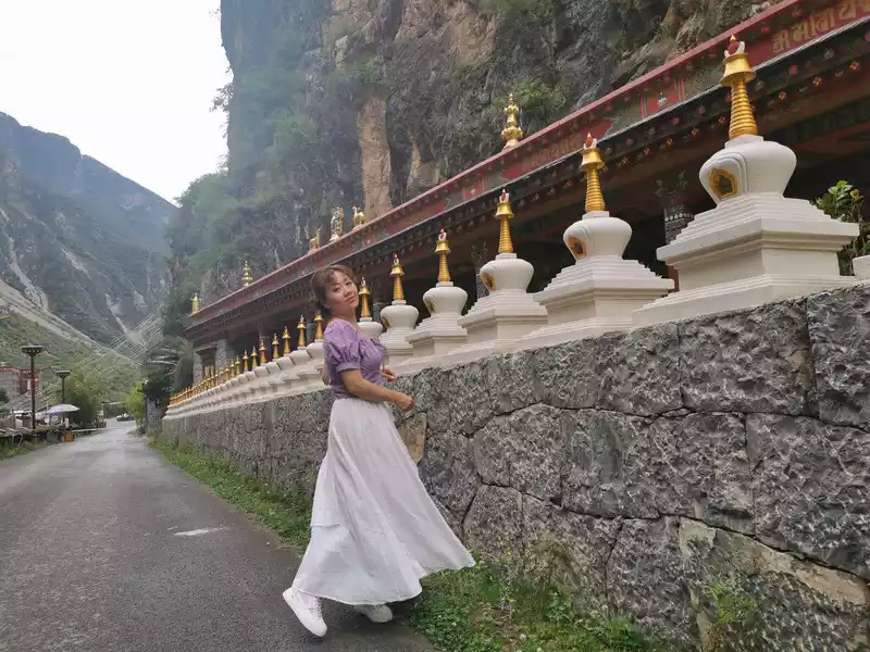
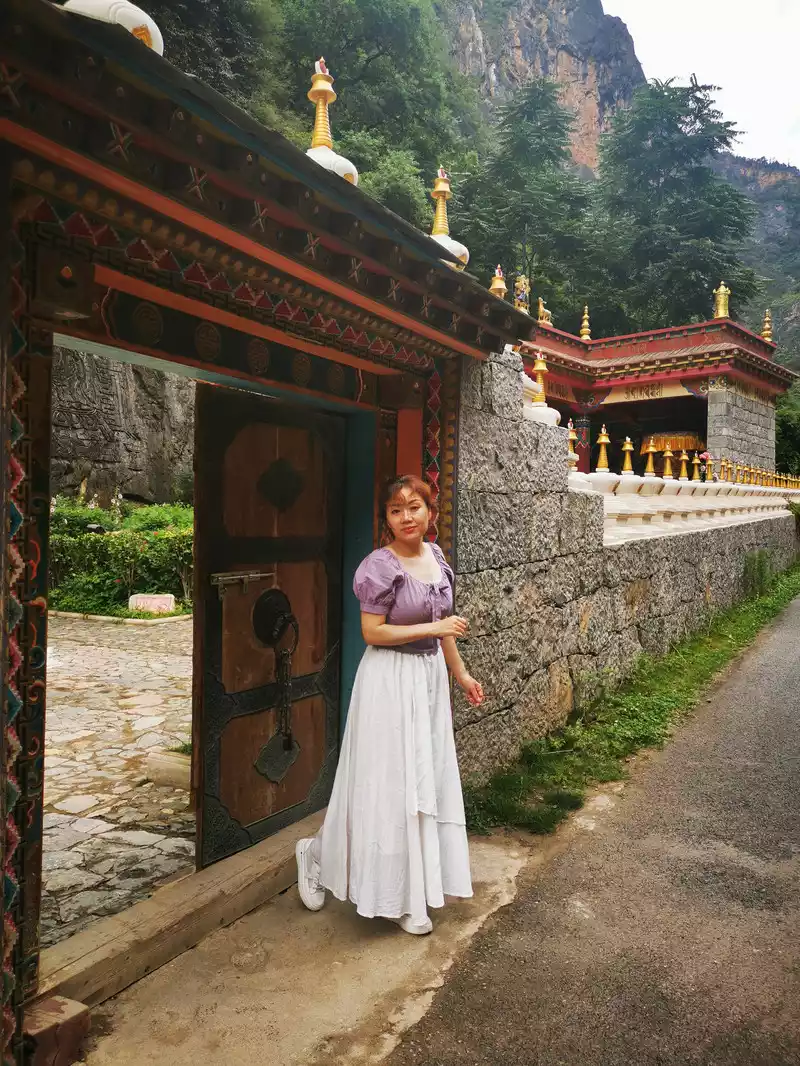
Balagzong Scenic Area is located in Nixi Township in the northwest of Shangri-La, adjacent to Derong County, Sichuan Province. The highest altitude in the scenic area is 5,545 meters, the highest peak in Shangri-La County, and the lowest point is the water village at the entrance of the scenic spot, with an average altitude of about 2,650 meters in the river valley and an average annual temperature of about 14.8 degrees Celsius, which belongs to the northern subtropical climate. As described in "The Vanishing Horizon": There are pyramid-like snow-capped mountains (Gezong Snow Mountain), quiet villages (Balagu Village), rich pastures (Naidang Ranch), as well as canyons, forests, lakes and other natural beauty landscapes, this is the legendary Shangri-La?
Travel guide:
The main attractions of Balag Zong: Babel Gorge, Millennium Bodhi Tree, Dolmala Kang, Millennium Village Bala Village, Shambhala Natural Pagoda, Echo Wall High-altitude Glass Plank Road, Shangri-La Grand Canyon. Tourists who live in the Tusi Manor in Bara Village, the scenic spot, can drive into the scenic spot and go through the steep winding mountain road. Tourists outside the scenic spot take the scenic bus in the scenic parking lot for sightseeing, and in addition to the Shambhala Pagoda, the other regular scenic spot buses will go in turn, which usually takes nearly a day.
7:40 In the morning, I got up from the hotel window and looked at the mountains opposite the clouds and mist, like a fairyland. There is an ancient road in the middle of the cliff on the opposite side - the people's and horses' post road, at that time, the traffic here was extremely inconvenient, the villagers could only take the people and horses on the cliffs, and it took two whole days to get out of the village, and they needed to cross the river 12 times, cross 16 cliffs, and bypass 18 natural dangers.
 Take
Take a photo at the entrance of the scenic spot.
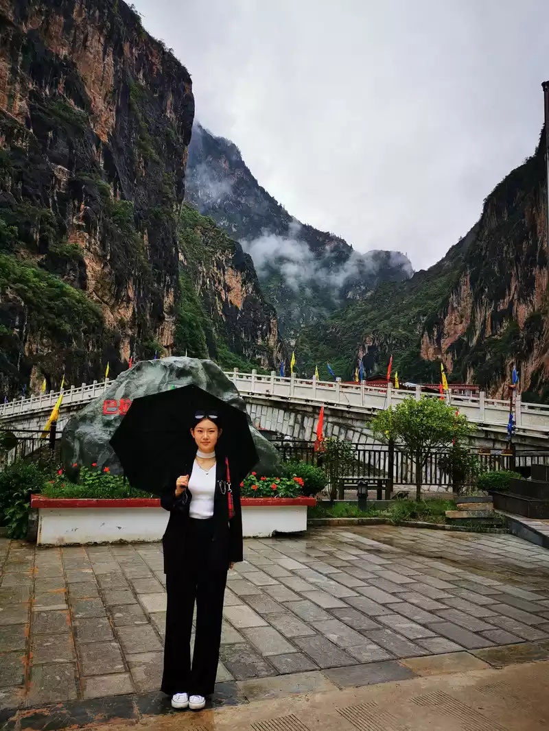
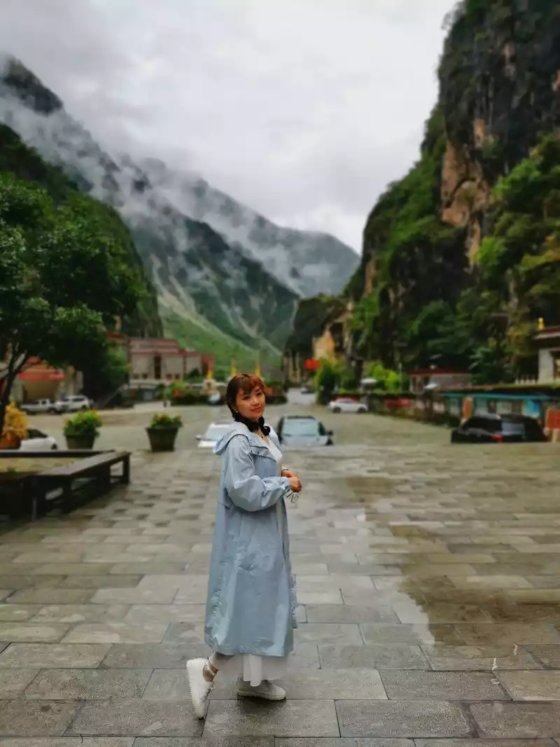
10:10 Bandan Ram Sacred Mountain
9:50 Take the scenic bus up the mountain, the sky sometimes drizzles a little rain, and the road spirals up the cliffs.At the beginning, Si Na Dingzhu wanted to build a road to his hometown, and the villagers said: Building a road on the cliffs of the canyon is simply a fool's dream! The designers persuaded that this terrain could not be built into a highway. The construction team turned around and left. But Snadingzhu did not flinch, he personally led people to explore and design, and finally built this sky road with a total length of 35 kilometers, 52 hairpin bends, and a vertical height of 750 meters in the tenth year. Today, villagers and tourists can take a car all the way to Bala Village.
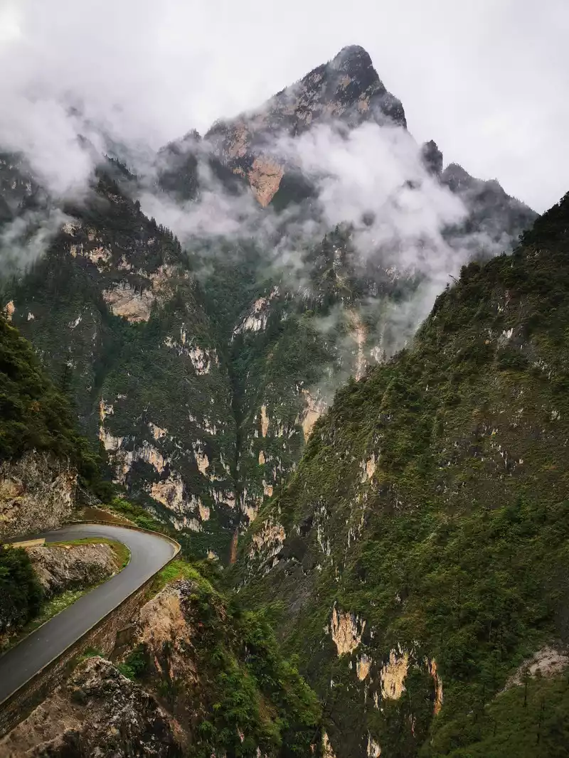
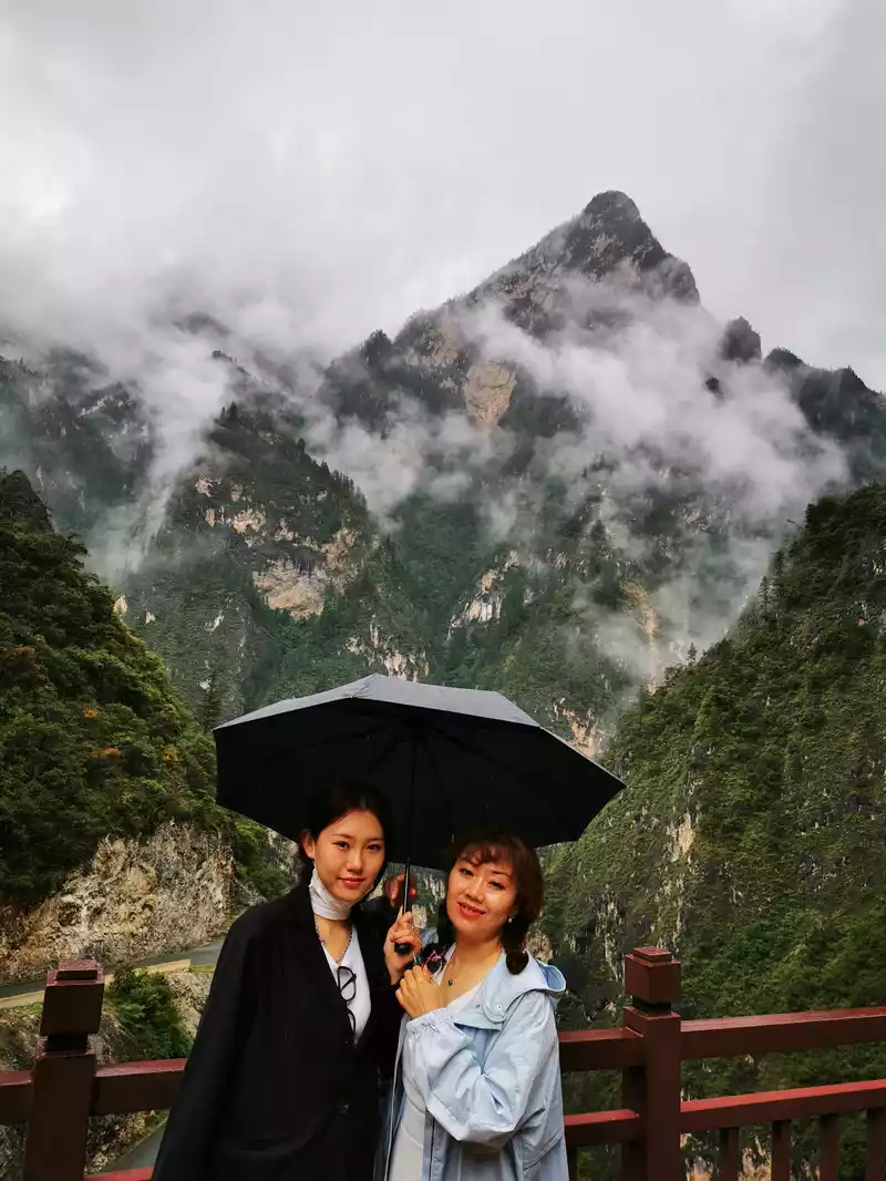
Bandan Ram Sacred Mountain
The road from the canyon to Bala Village is a veritable heavenly road, and it takes a certain amount of courage to drive to the Tusi Manor of Bala Village to stay, and it is a very test of driving skills. On the way, you will pass by the Bandan Ram Observation Deck, where the entire canyon is in full view, and the Bandan Ram Sacred Mountain stands majestically. "Bandan Ram", also known as "Auspicious Heavenly Mother", "Auspicious Heavenly Maiden", and "Queen of Glory", is the chief Tantric female protector in the Tibetan Buddhist pantheon. Looking up, I saw that the top of the mountain was surrounded by clouds and mist, which always gave people a very unreal feeling. Here, the horizon literally disappears.
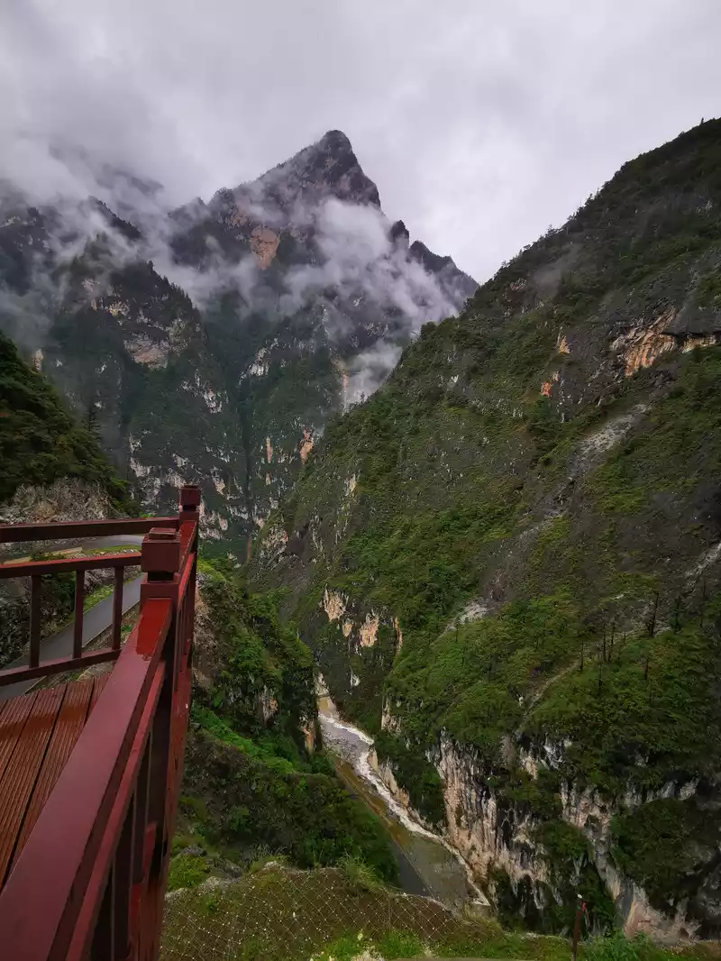
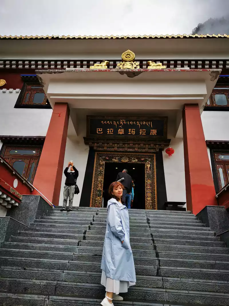
Dolmalakang is a Guanyin temple built by the Tusi Sina Dorji more than 1,300 years ago behind the Da Yong Mansion, which was rebuilt on the original 21st Dimension Sutra Hall due to its long age. A total of 21 Tara statues are displayed in the temple, which is a family goddess who liberates and saves suffering beings, and is also a group of female deities worshipped by various sects of Tibetan Buddhism. Therefore, 21 Tara is widely worshiped by believers and people in Tibetan Buddhist areas, and has great regional influence. It is the venue for the Bala people to worship Buddha on major festivals or the fifteenth day of the first month.
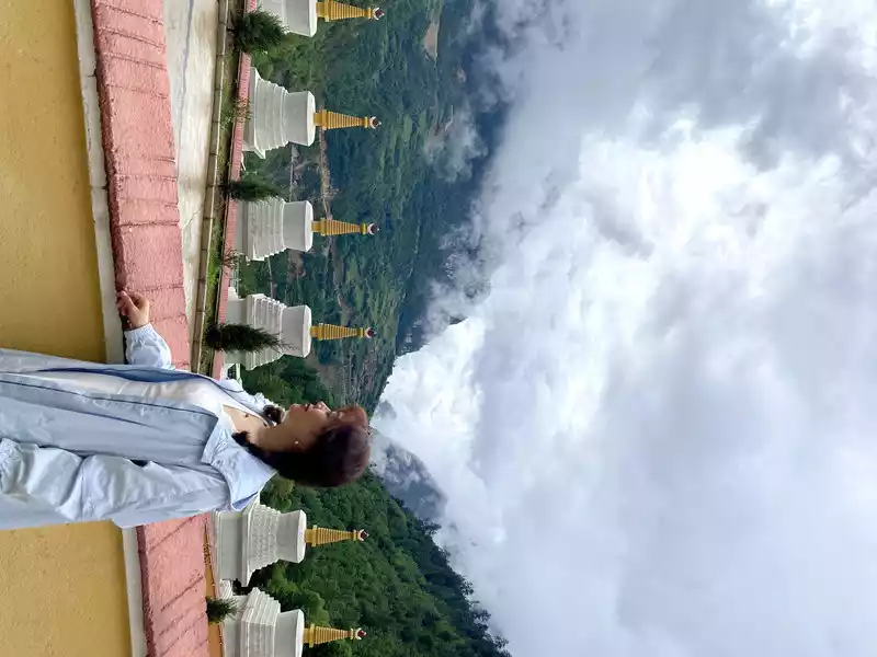
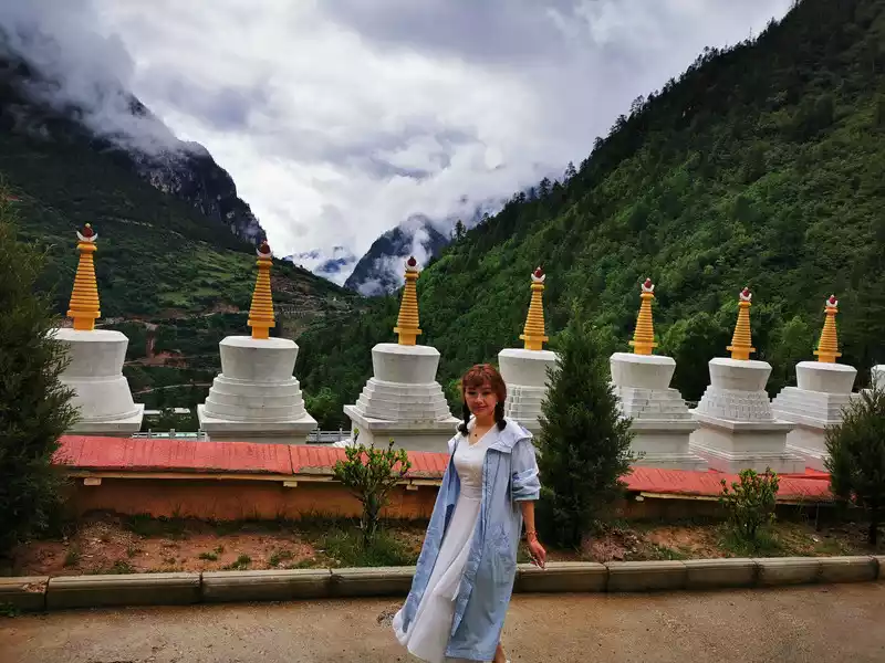
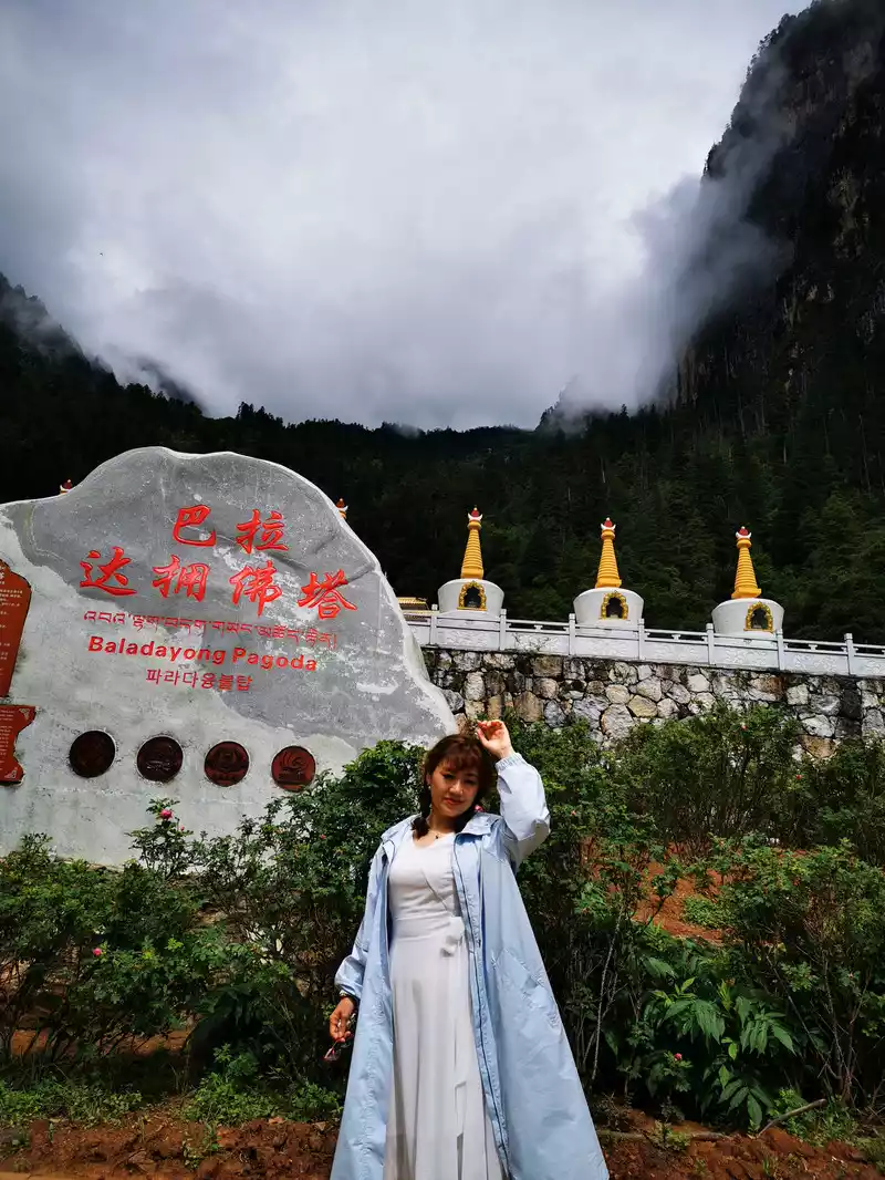
The Dayong Pagoda is a group of 8 holy white pagodas, which are the most representative of Tibetan Buddhism: "Buddha Shakyamuni, Master Padmasambhavia, Longevity Buddha, Four-armed Guanyin, Manjushri Bodhisattva, Huang Caishen, Honorable Buddha Mother, Tara", and the construction of eight pagodas represents the auspiciousness of the Eight Treasures of Tibet, giving the Bala people good weather and prosperity of livestock.
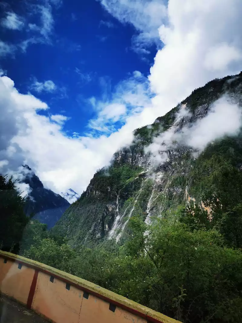
11:00 Go to Bara Village
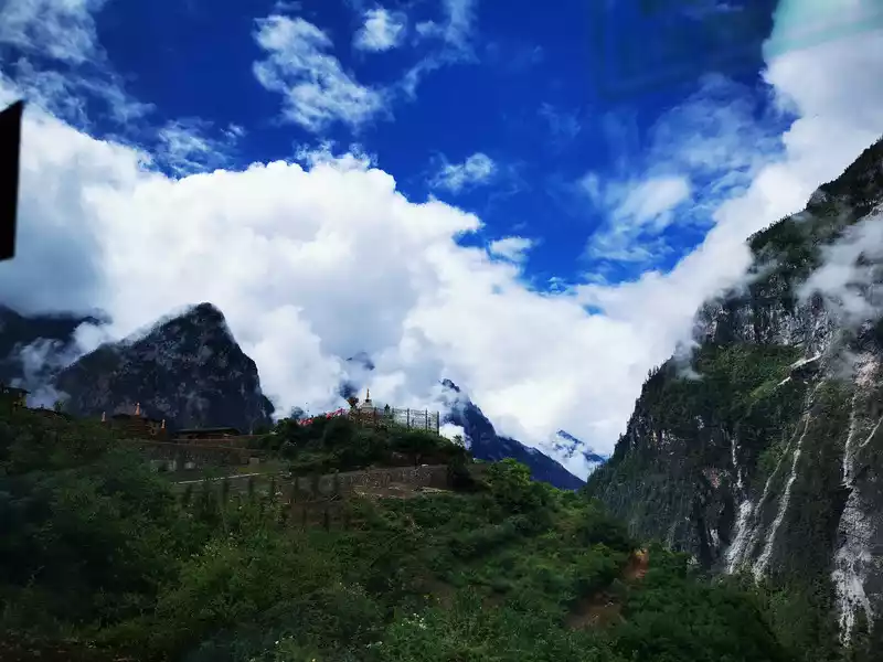
11:25 Bara Village
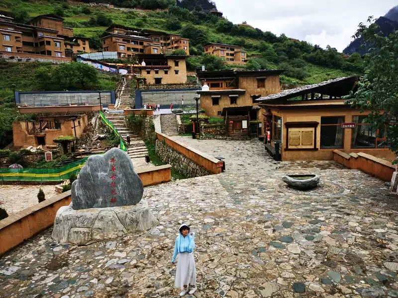
Bara village, elevation: 2900M.The word "Bala" comes from a Tibetan transliteration, which means a Tibetan village that migrated from Batang. Bala Village is located on the mountainside at an altitude of 2,900 meters under the Gezong Snow Mountain in the middle of the Shangri-La Grand Canyon, about 700 meters vertically along the Gangqu River Valley. According to legend, more than 1,300 years ago, a powerful Tibetan tribal leader Snadorji, in order to pursue his wife who left home with the old lama because he was tired of war, Rencheng Ram, gave up his wealth, rights, and vast territory, and took his tribe to follow the footsteps of Rencheng Ram, from the distant Batang all the way south to Bala and settled down. Since then, Bala Village has become the ideal home of the Snadorji family, and after generations of ancestors, they have become indigenous residents. Today's Bala Village, which can be called the Bala Village Tusi Manor, has become a concentration of folk customs and folk customs experience with Tibetan folk customs, folk customs and culture in the Balagzong Scenic Area.
The architectural style of Bala Village is a typical Tibetan watchtower. The watchtower is a common form of living architecture for Tibetan people on the Qinghai-Tibet Plateau in southwest China and parts of Inner Mongolia, mostly stone and wood structures, with a dignified and stable appearance and a simple and rough style. The outer wall shrinks upwards, and the inner slope is still vertical if it is built against the mountain. Because the appearance is very similar to a bunker, it is called a pillbox. The watchtower is generally divided into two floors, and the number of rooms is calculated by columns. the bottom floor is a livestock pen and storage room, with a low floor height; the second floor is the living floor, with a large room as a hall, bedroom and kitchen; The small room is a storage room or stairwell. If there is a third floor, it will be used as a scripture hall and a sunbathing platform. It embodies the unity of the three worlds of gods, humans and nature.
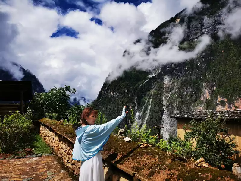
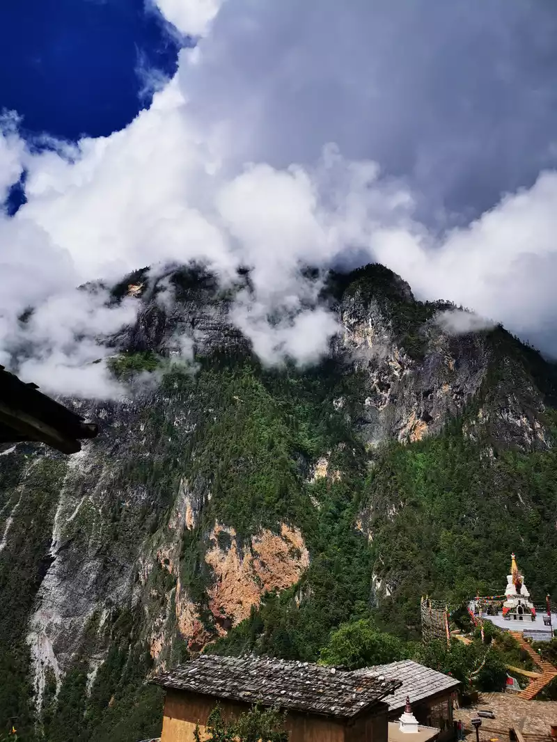
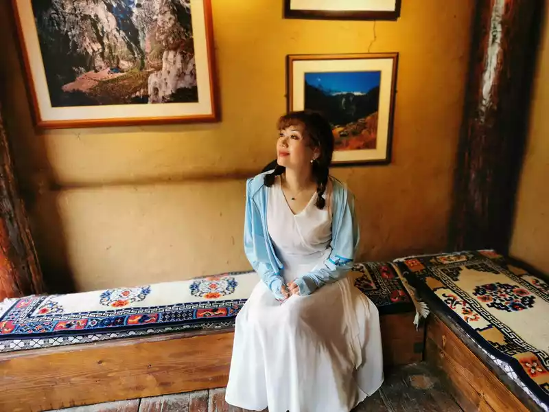
Come to the former residence of Snading Pearl as a guest
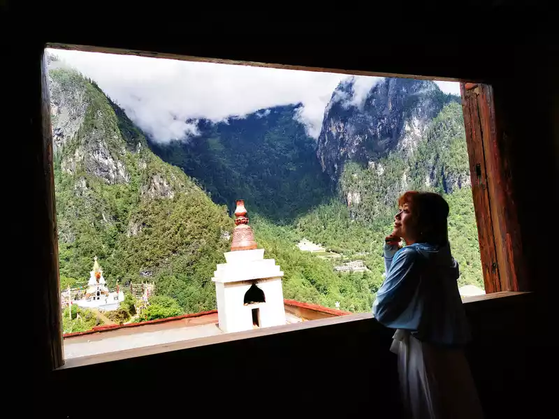
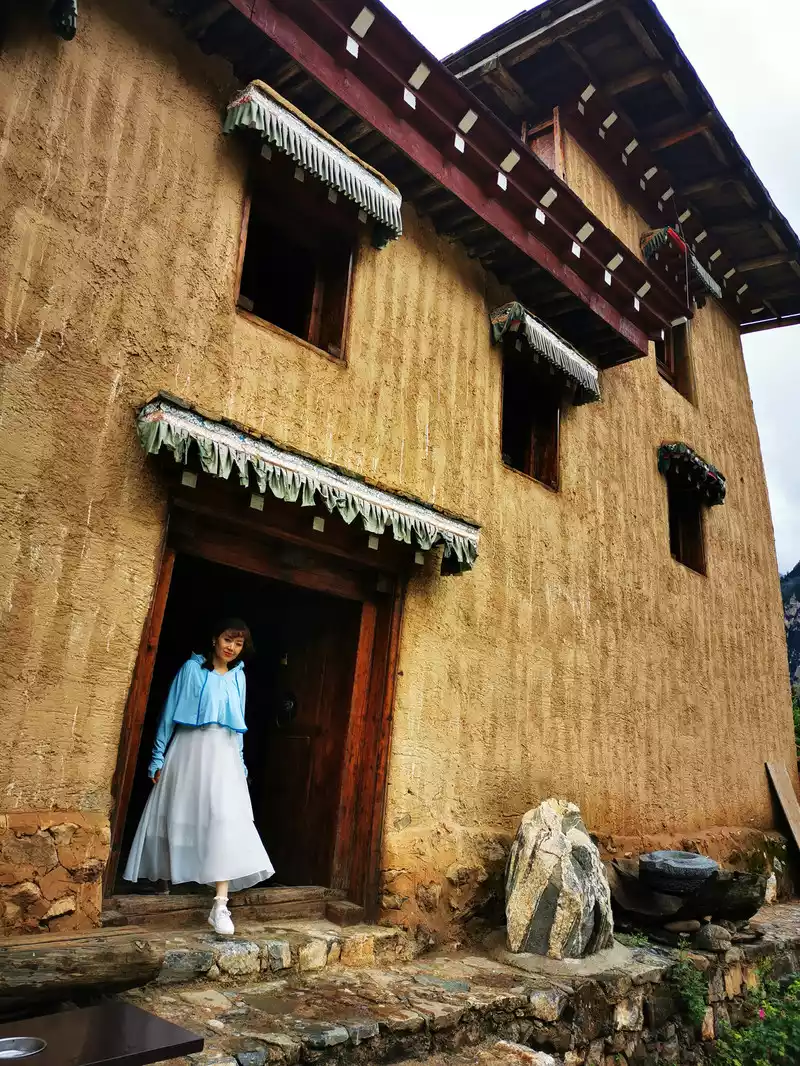
Snadingzhu's former home is now a Tibetan Residential Museum!
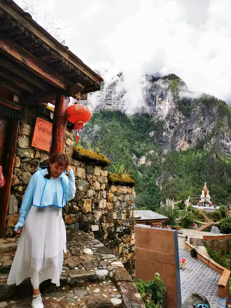
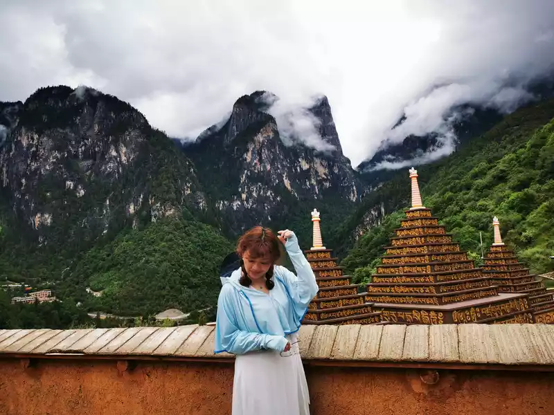
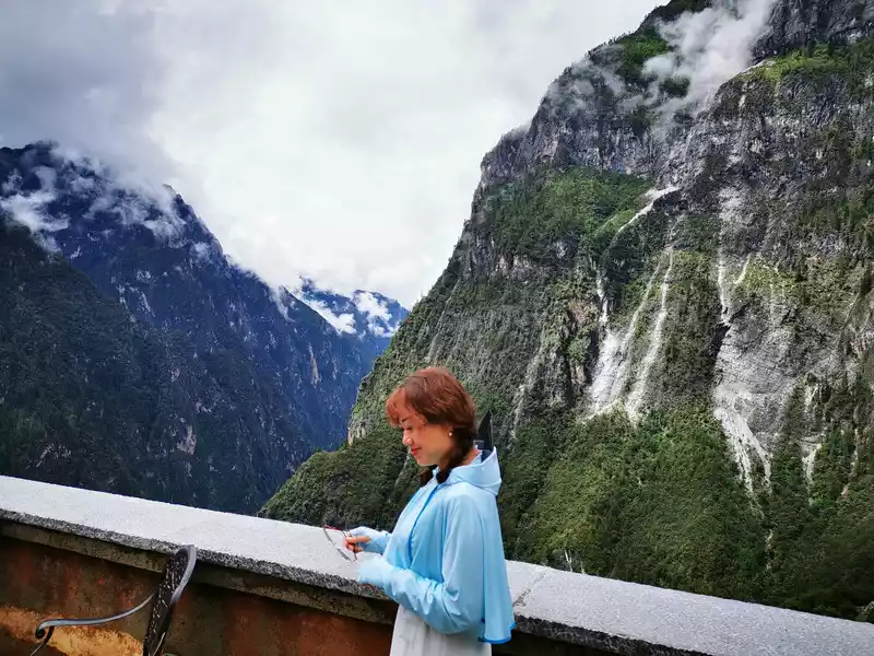
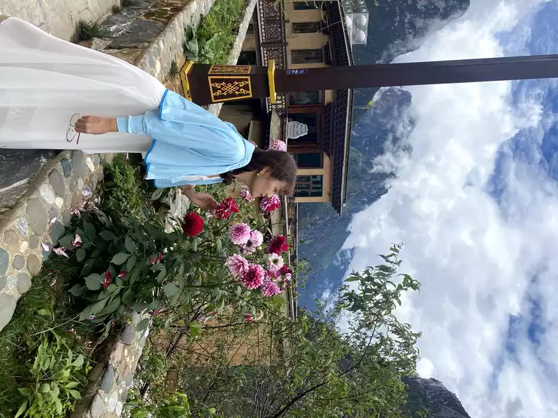
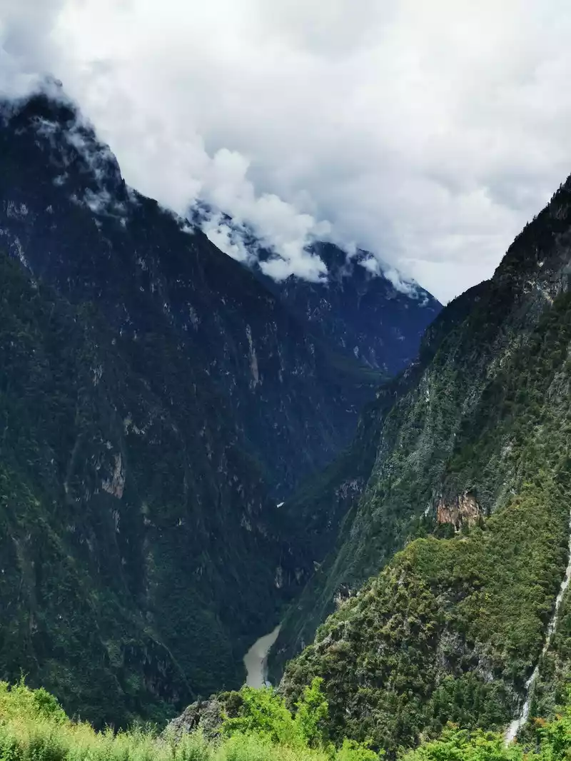
The next stop in Bala Village is the sound wall/glass plank road. The echo wall shouts loudly at the opposite cliff wall, and the sound waves are reflected back by the stone wall, which will echo in the ears layer by layer. Looking at the cliff wall, a sheep intestine trail that only allows one person to pass through hangs in the book, which is the passage between the former Bara Village and the upper reaches of the canyon, and it is also a true portrayal of the hard life of the canyon residents.Walking on the glass plank road with a vertical drop of 700 meters, some people may be afraid, but in the face of the beautiful scenery, they can't help but continue to move forward, move to change the scenery, turn around to change the scenery, look up at the sky and snow-capped mountains is the scenery, and look down at the green water and blue waves. After swimming in the echo wall, you can return the same way or take the more exciting high-altitude ropeway. Unfortunately, my daughter was not feeling well today, so we didn't go up, have lunch in Bala Village and wait for the bus to drift in the Shangri-La Grand Canyon.
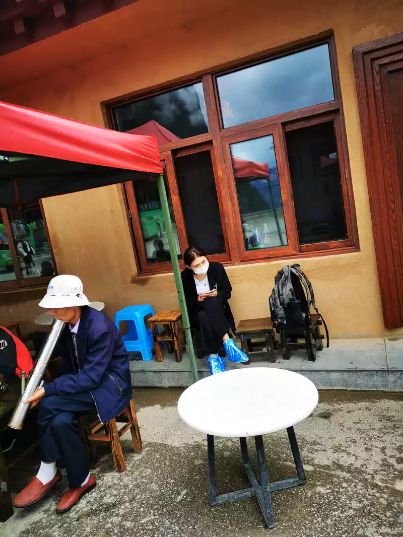
While resting in Bala Village, I encountered one of the legendary eighteen monsters of Yunnan - bamboo hookah. As soon as I looked at this hookah, I knew it was a Yunnan person, this friend was very friendly and invited us to take a couple of sips. Yunnan hookahs were popular in the late Ming and Qing dynasties and the Republic of China, and have a history of 100 years. Yunnan is rich in bamboo resources, and bamboo is also widely used, such as dry-railed bamboo buildings, bamboo chairs, bamboo hats, etc. In particular, the bamboo chimney is the most distinctive, the smoke passes through the bamboo tube that stores water, and when inhaled, it makes a rhythmic gurgling sound, moisturizing the throat, and it is sound, colorful and tasteful. During the Anti-Japanese War, the Yunnan army blocked the Japanese army in Taierzhuang, and each soldier carried a hookah on his back.
In addition, we also saw another Yunnan Eighteen Monsters in the later trip to Lugu Lake, and we will sell a pass here first.
13:30 Shangri-La Grand Canyon
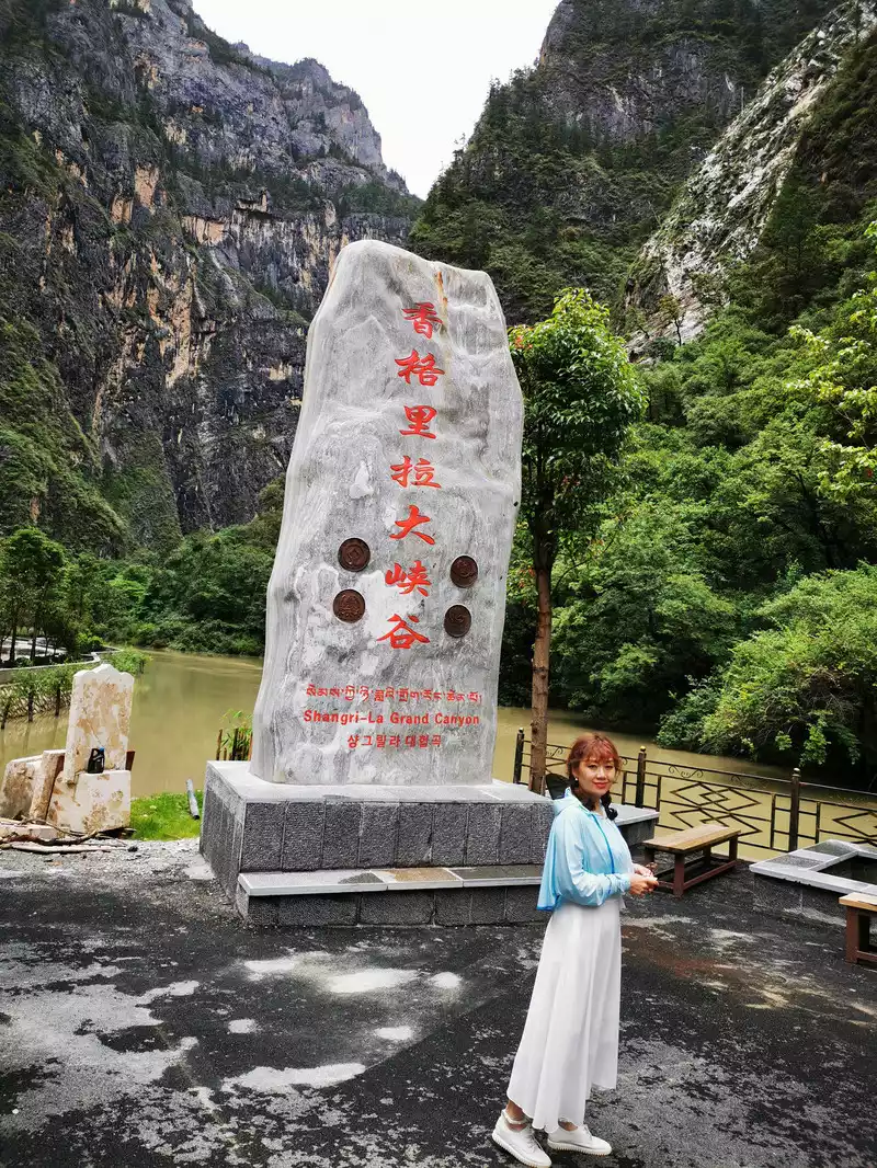 >The Shangri-La Grand Canyon is one of the deeper canyons in Yunnan and even the whole country, with a total length of about 154 kilometers, which is different from the V-shaped canyons that many people have seen before: the bottom of the "V-shaped canyon" is relatively narrow, and the higher it goes, the more open it becomes, while the cliffs and bottom of the Shangri-La Grand Canyon are "U" shaped. The canyon is known for its "high and deep danger, strange and unique, and mysterious beauty", and there are hundreds of side canyons on both sides of the main canyon, "canyons in the gorge, gorges on the gorges, crisscrossing, and gorges connected" is the biggest feature of the Shangri-La Grand Canyon, and most of these canyons belong to typical glacier canyons. There is a 2.5-kilometer wooden sightseeing plank road in the scenic area, tourists can walk along the plank road, enjoy the water and mountains on both sides of the Gangqu River, and walk back the same way after reaching the end of the plank road, or you can choose to raft back.
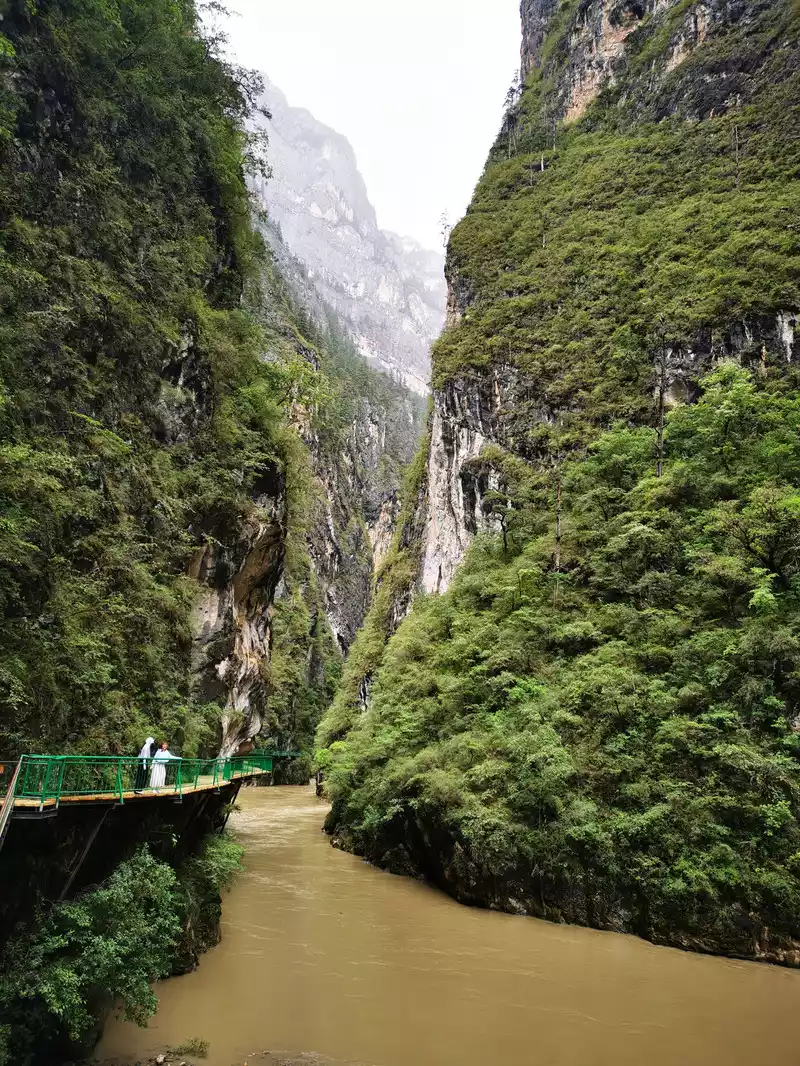
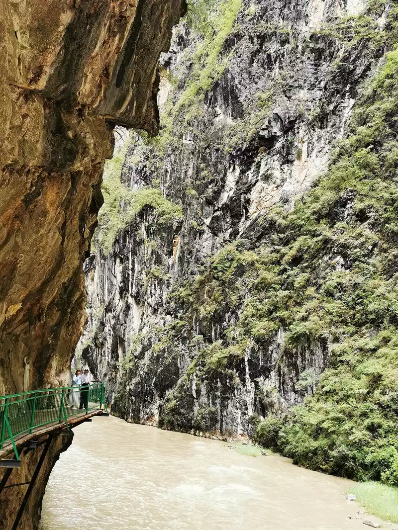
14:13 Shangri-La Grand Canyon Rafting Pier
At the rafting pier at the end of the Shangri-La Grand Canyon, there is a spectacle of "clear distinction". The river water of the main river has become very muddy and yellow due to yesterday's rain, and there is no soil in the river valley of the tributary, and the water quality is clear, so that the clear river water flows into the turbid river and presents a strange landscape of clear and turbid at the mouth of the river, forming a very obvious boundary. When it didn't rain yesterday, the water of the Gangqu River was still green, and the rain overnight turned the river yellow.
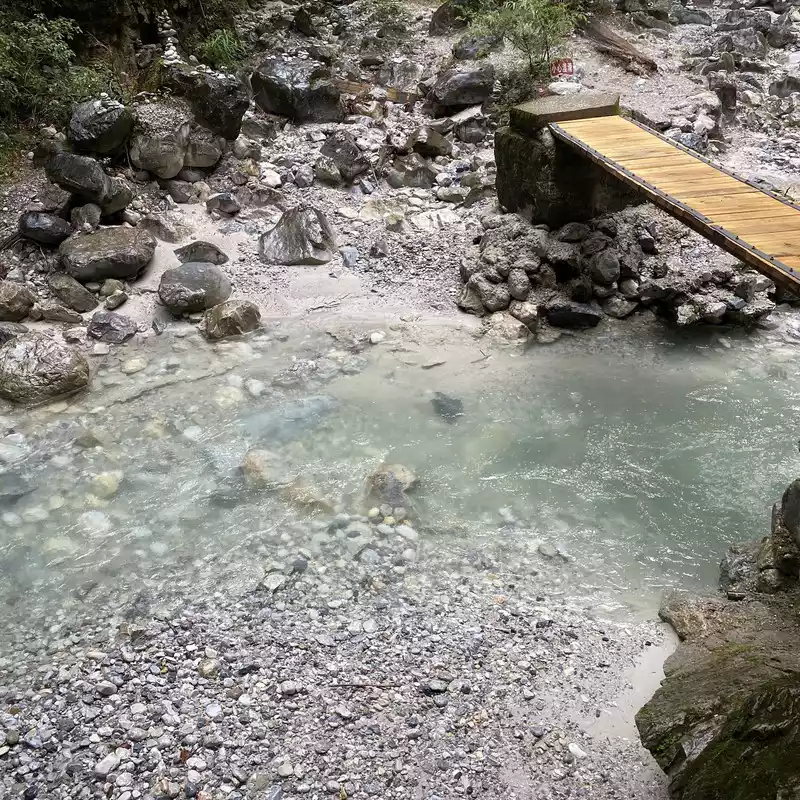
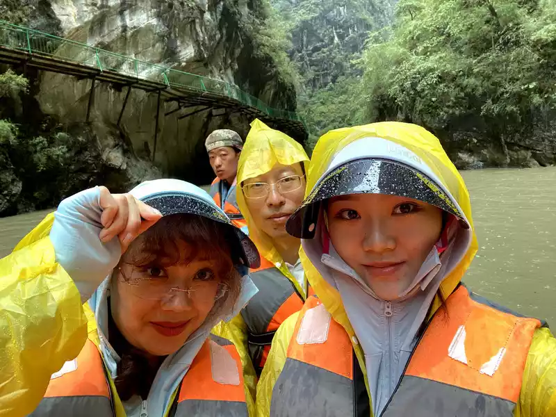
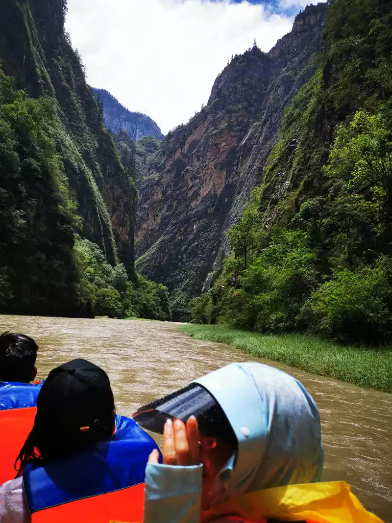
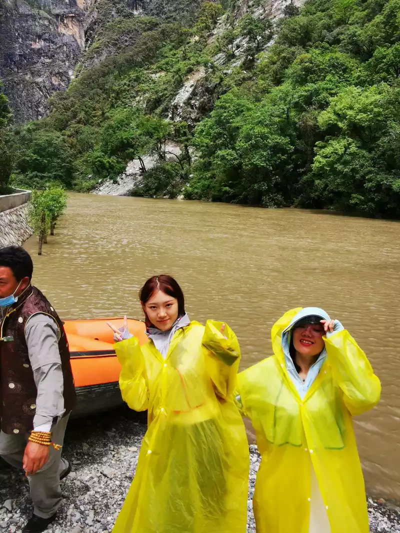
Drift ashore and pose for a 15
:25 departure to Lijiang
SeeNapa Haila grassland again.
Ila Grassland is located 6 kilometers northwest of Shangri-La City, with a total area of 13 square kilometers, is the largest and most beautiful grassland in Diqing Shangri-La, Yila Tibetan means "Leopard Mountain", because the legend is that the Leopard Mountain located in the north of the Illa Grassland is a "sacred mountain". In July, the Illa grassland is like a rippling ocean, full of countless flowers, rose-red wild peonies, wild chrysanthemums and indescribable fragrant flowers and weeds, which are connected with the beautiful Napa Sea and the beautiful ancient village of Illa, forming a beautiful picture.
TheNapa Sea and the Illa grassland are actually connected, in the rainy season, the water is relatively sufficient, most of the grassland is covered by lake water, it becomes the sea, in the non-rainy season, there is less water and more grass, the lake water degrades, and it becomes a grassland.
 In
In 2016, when my daughter was admitted to college, we came to this beautiful grassland, and this year we came here again after my daughter's graduation. She's still so beautiful!
 Shooting time: July 12, 2016 Ira Grassland Take the photos from four years ago to see if anything has changed?
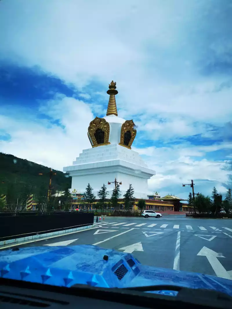
Passing through the middle tower of Shangri-La's Harmony Tower, you will see Shangri-La when you see it. I remembered Cangyang Gyatso's poem: In that life , I turned mountains and rivers to pagodas , not to cultivate the next life , but to meet you on the way.
Cangyang Gyatso, one of the most famous Tibetan poets, his poems are well-known at home and abroad, not only have an important position in the history of Tibetan literature, have had a wide and far-reaching influence among the Tibetan people, but also are a striking flower in the world poetry world. His poetry expresses his short and legendary life of love and hate, bitterness and joy, action and thought, feeling and understanding, and he has had a poignant love, and he always seems to have an unspeakable sadness for love. There is also a beautiful poem by Cangyang Gyatso: It's best not to meet, so you won't fall in love.
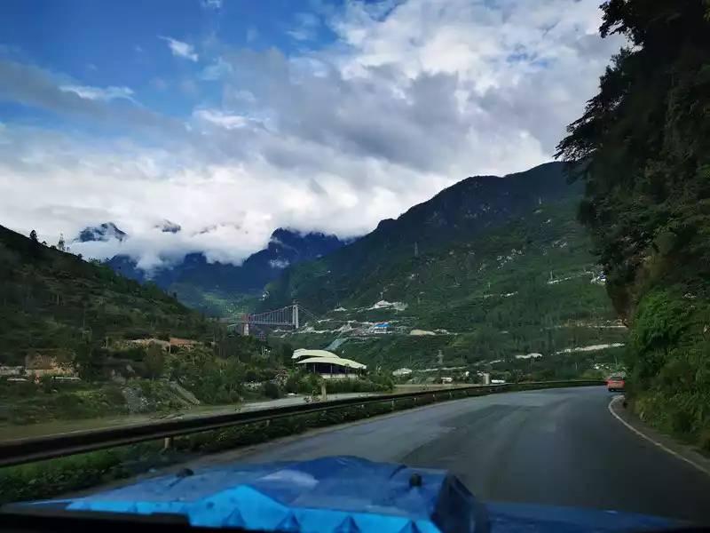
18:22 After passing through Tiger Leaping Gorge Town, after passing Tiger Leaping Gorge Town, go south along the Jinsha River, and if the weather is good, you can also overlook the Jade Dragon Snow Mountain.
The bridge under Baiyun in the picture is the Jinsha River Bridge of the Xiangli Expressway under construction at that time. This time we can only take the only West View Line (National Highway 214), which takes 3 hours from Shangri-La to Lijiang, and unfortunately the expressway has not yet been opened. Fortunately, at the time of writing this travelogue - from 0:00 on January 1, 2021, the expressway from Shangri-La City, Diqing Prefecture to Lijiang was opened to traffic, ending the history of the Diqing Expressway. After the opening of the highway, the traffic time from Lijiang to Shangri-La has been greatly shortened, and it can be reached from Lijiang Ancient City to Shangri-La Dukezong Ancient City in about 1 hour and 40 minutes by car. In addition, according to news reports, the railway from Lijiang to Shangri-La has also started construction, and we can also take the train next time we go to Shangri-La.
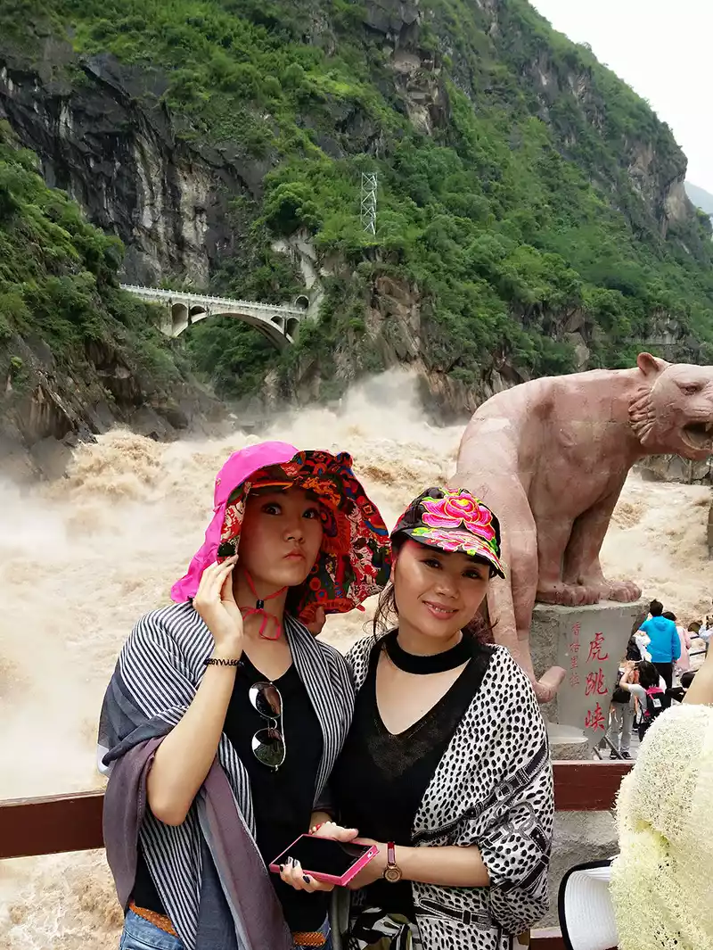 Shooting time: July 12, 2016 Tiger Leaping Gorge
 Tiger Leaping Gorge, since we went there in 2016, we didn't go again this time. After the Jinsha River flows through the Tiger Leaping Gorge Town, the river rushes through a deep valley tens of meters wide, along the banks of the river are the Yulong Snow Mountain on one side and the Haba Snow Mountain on the other, with a height difference of more than 3,000 meters from the river surface to the peak, forming the most spectacular canyon in the world.
18:41 Pass by Diqing Economic Development Zone
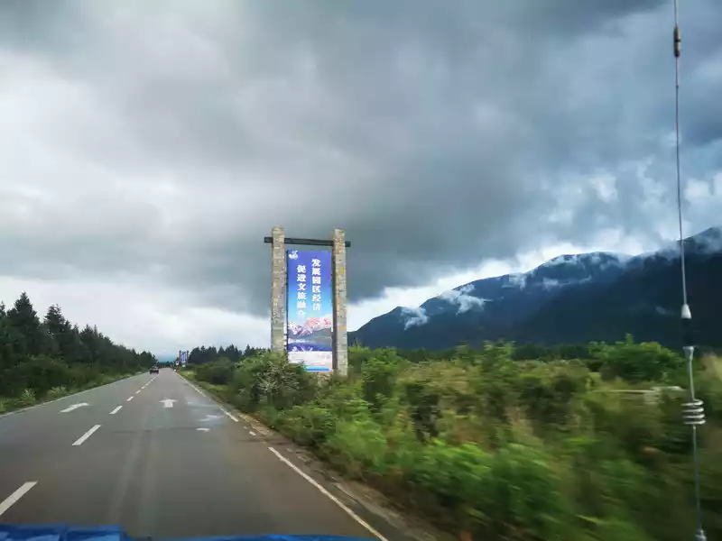 >Arrive at Lijiang Baisha Ancient Town at 19:44 and arrive at Duduo B&B at 19:50. The owner of the homestay is from Fujian, a little good wine, we seemed to have been drunk for two days, a little confused, but the service was good, and we were upgraded to a family suite.
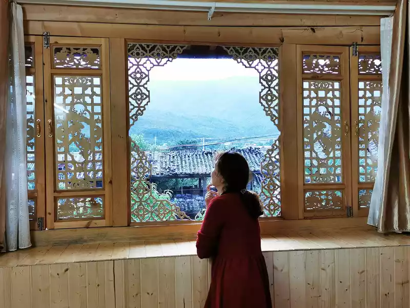
Baisha Ancient Town is located about 10 kilometers north of Lijiang City, north of Yulong Snow Mountain, is the origin of the regime of the Lijiang chieftain "Mu family", the most ancient town with Naxi legacy, and the most original Naxi village. There is a very famous attraction in Baisha Ancient Town "Baisha Mural", which has been painted for more than 300 years from the early Ming Dynasty to the early Qing Dynasty. There are 55 white sand murals in the town, most of which were created in the Ming and Qing dynasties, integrating the smooth and gorgeous style of Tibetan Buddhist painting, and are treasures in mural art.
Today's Itinerary
Todaywe only went to the Glacier Park and Blue Moon Valley of Yulong Snow Mountain, and watched "Impressions" at noon. Lijiang", this route is a more classic route, but it is a completely different experience. Because of the high altitude, the glacier park will be a little tiring, and some people can't even climb to the highest point. Blue Moon Valley is a quiet beauty, here you just need to walk slowly and enjoy it slowly. "Impression. Lijiang" is the most direct experience of Naxi culture.
9:15 Take the big ropeway to the glacier park
Yulong Snow Mountain is called "Oulu" in Naxi, which means "Tianshan". Its thirteen snow-capped peaks are endless, like a "giant dragon" soaring and flying, so it is called "Jade Dragon". Because its lithology is mainly limestone and basalt, black and white, it is also called "black and white snow mountain". It is the sacred mountain of the Naxi people, and it is said that the Naxi protector "Sanhua" is the embodiment of it.
 There
There are a lot of people going to Yulong Snow Mountain, and this year's college entrance examination has just ended, and there are many students and young people. At 9:15, there was a long queue to take the large ropeway cable car up the Jade Dragon Snow Mountain, because of the fog, nothing could be seen outside.
The highest altitude of Yulong Snow Mountain is 5,596 meters, and the highest altitude of Yulong Snow Mountain Glacier Park is 4,680 meters, which is also the highest altitude that everyone can reach when they go to Yulong Snow Mountain Scenic Area. The starting station of the large ropeway is 3,356 meters above sea level, and the upper station directly below the steep fan of the main peak of the snow mountain is 4,506 meters above sea level. With a total length of 2,914 meters and a vertical height difference of 1,150 meters, it is one of the highest tourist passenger cableways in our country.After getting off the ropeway, the mountain can be climbed up to 4,680 meters, and the vertical height is 174 meters, and the distance to climb the steps is actually more than 500 meters, which is a little tired, and many people have altitude sickness.
Today, my daughter is still unwell, so she is waiting for us to order a cup of coffee in the service area of the ropeway station.
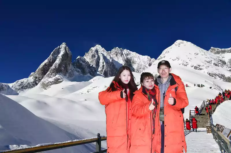
Panorama of the Jade Dragon Snow Mountain made by the scenic spot
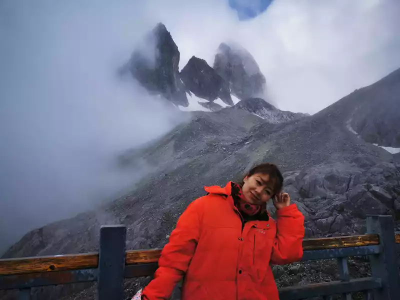
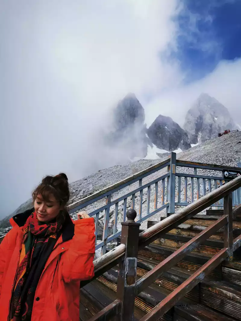
10:10 On the way to the summit
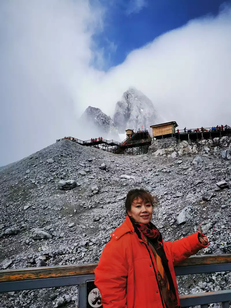
10:13 On the way to the summit
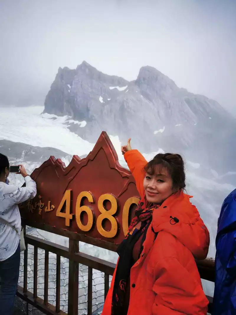
10:28 Successfully reached the top of 4680!
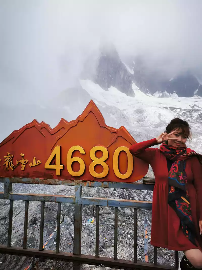
The fog appears and disappears, still holding the pipa and half-covering his face.
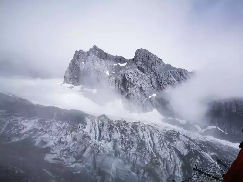
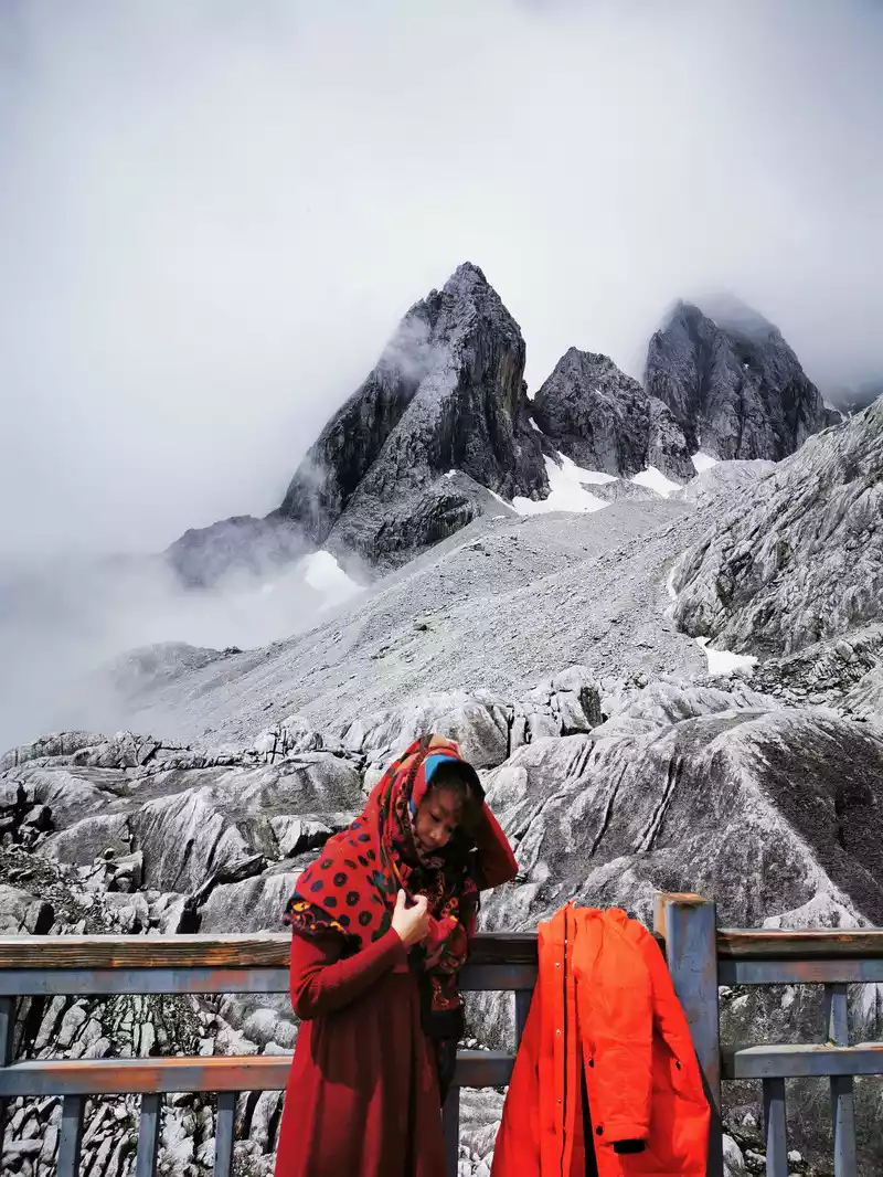
11:29 13:30
impression on the way down. Lijiang
"Impression Lijiang" is an original ecological large-scale live-action performance co-directed by China's most influential director Zhang Yimou, Wang Chaoge and Fan Yue, the first part is "Snow Mountain Impression", and the second part is "Ancient City Impression". The performance theater is located at an altitude of 3,050 meters, the world's highest live performance venue - Ganhaizi in Yulong Snow Mountain Scenic Area, and is currently the only live performance performed during the day. It takes the snow-capped mountains as the background, Naxi culture as the carrier, and uses generous freehand to make the reality and shock of life so close to everyone in the world's highest performance venue.
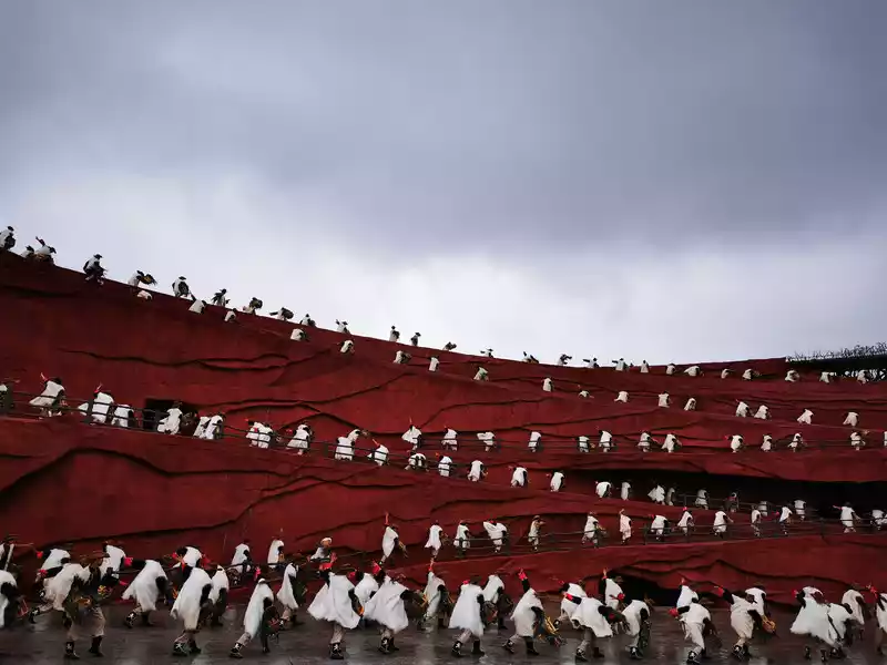
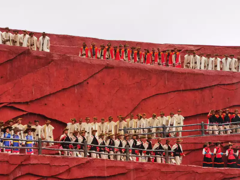
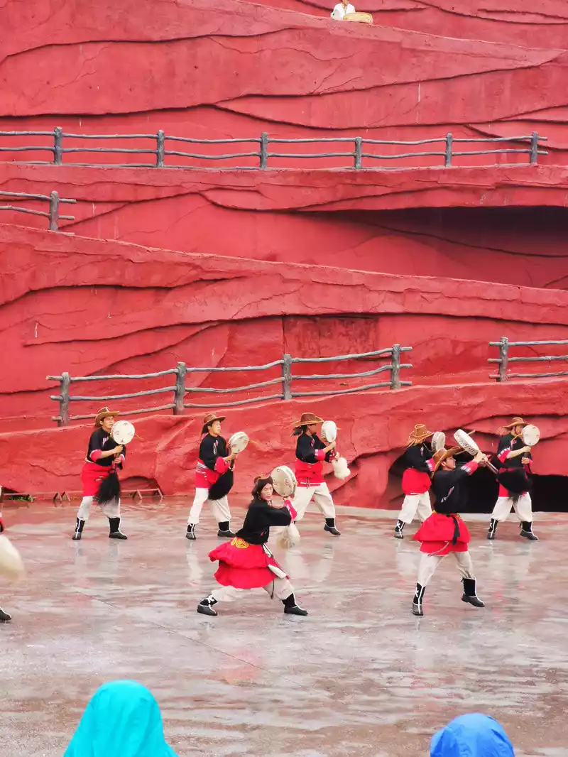
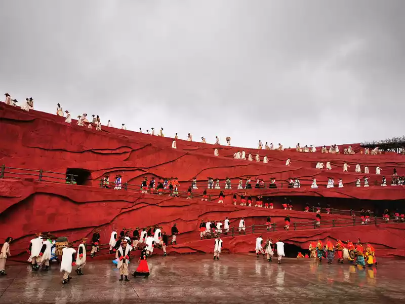
15:30 Blue Moon Valley
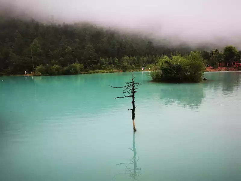
Blue Moon Valley is located in the valley north of Ganhaizi at the eastern foot of Yulong Snow Mountain and south of Spruce Ping, and its predecessor was the "White Water River" known earlier. On sunny days, the color of the water is blue, and the valley is crescent-shaped, looking like a blue moon embedded at the foot of the Jade Dragon Snow Mountain from a distance, so it is called Blue Moon Valley. The name Baishui River is because the mud at the bottom of the lake is white, and the water will turn white when it rains, so it is also called Baishui River. The river in the Blue Moon Valley is blocked by mountains during the flow, forming four larger water surfaces, known as Yuye Lake, Jingtan Lake, Blue Moon Lake and Tingtao Lake. It is also said that the moon is reflected in the blue lake against the blue sky, and because the Blue Moon Valley in British writer James Hilton's "Vanishing Horizon" is similar to this, so it is called "Blue Moon Valley".
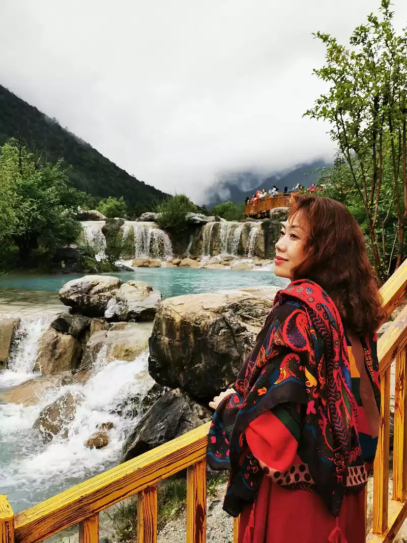
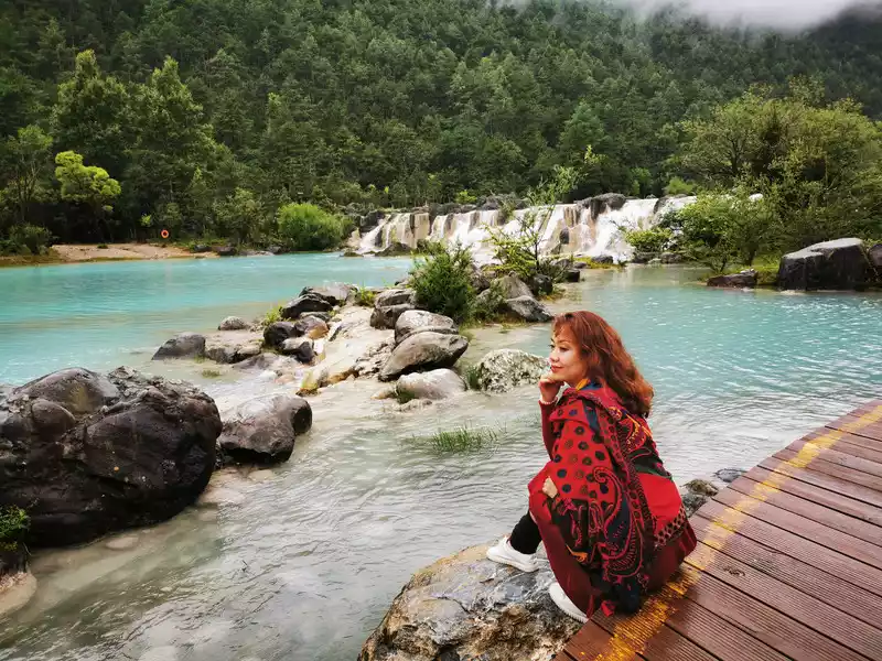
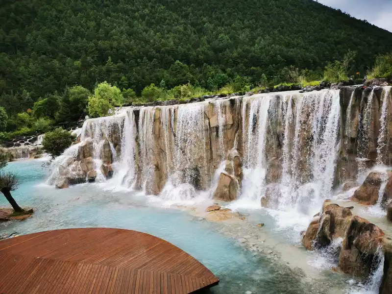
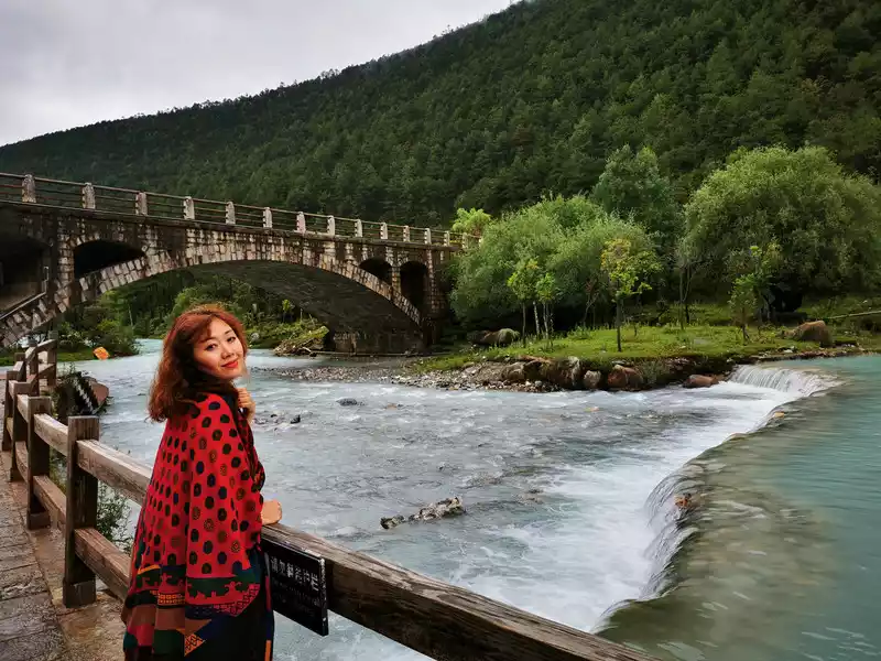
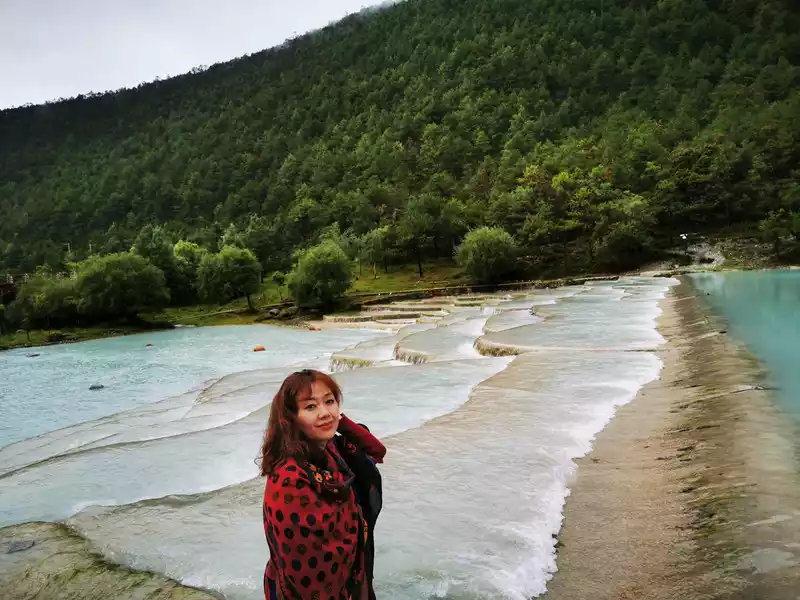
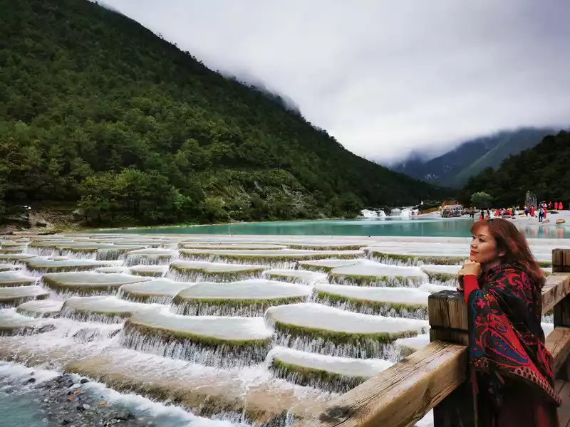
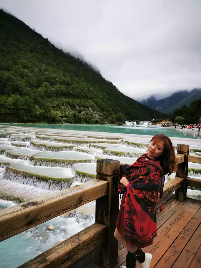
9:40 a.m. Depart from Baisha Ancient Town, about 4 hours to Lugu Lake, first take the 120-kilometer 2.5-hour Lining Highway, and then take the 70-kilometer 1.5-hour Ninglu Highway. The so-called "Lining" refers to Lijiang City and Ninglang Yi Autonomous County.
10:26 Lining Eighteen Bends
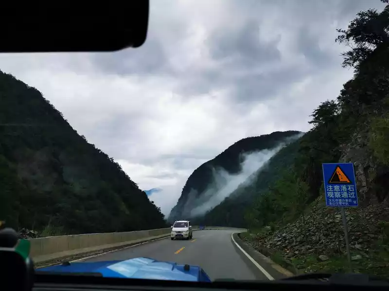
And Lining Eighteen Bends is a steep winding mountain road that must be passed from Lijiang to Lugu Lake. The difference in height is more than 1,000 meters, and in the valley below the eighteen bends, the yellow Jinsha River flows slowly.
 The
The yellow route in the picture above is a new road, which is a regular navigation route, with a long slope and a gentle road, which is easier to walk. The blue one is the old road, with steep and steep curves, which is the real "Lining Eighteen Bends", but few people have walked now.
10:49 Jinsha River Shudi Bridge
10:49 Jinsha River Valley Bottom From the Eighteen Bends of Lining Through the Shudi Bridge
Afterthe Yangtze River merges into the Tongtian River from the source of the river, it enters the Hengduan Mountains in Yushu County, Qinghai Province, and began to be called the Jinsha River.
The Jinsha River flows through the northwestern Yunnan-Guizhou Plateau and the mountains of southwestern Sichuan, and reaches Yibin in the southwest of the Sichuan Basin to accept the Min River, with a total length of 2,300 kilometers. The Jinsha River runs from Yushu in Qinghai Province to Shigu in Yunnan, which is the upper section of the Jinsha River, with a length of about 965 kilometers and a drop of 1,720 meters. The big bend of the Jinsha River that we overlooked on the 12th is the upper section of the Jinsha River, and the section of the Jinsha River under the 18th bend of Lining that passed from Diqing to Lijiang the day before yesterday and the section of the Jinsha River below the 18th bend of Lining passed today is the middle section of the Jinsha River. The geological disasters of debris flows here are serious, and landslides occur every year.
11:38 Xiaoliangshan scenery - Xichuan Yakou Tunnel
Inthe cloudy woods on the side of the road, there are bursts of melodious and melodious birdsong from time to time, which is very beautiful.
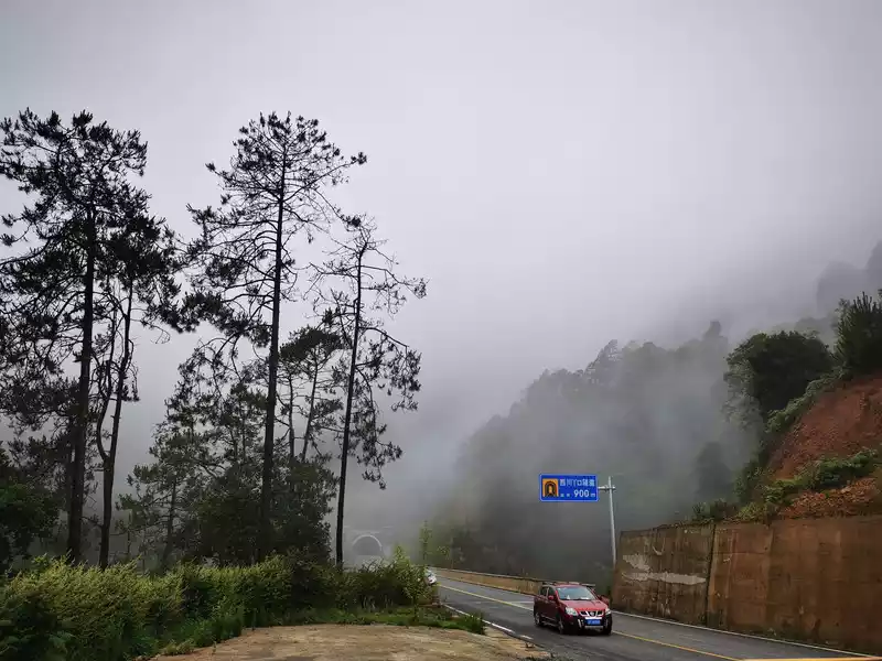
After crossing the Jinsha River, it is Yongsheng County, Yunnan, which belongs to the Xiaoliangshan area. A short walk from Yongsheng County is the boundary of Ninglang. From the bottom of the Jinsha River valley all the way to the front of the Ninglang Xichuan Yakou Tunnel, the sun is shining. But as soon as you pass the tunnel, it is a completely different world, with tall trees and dense forests, thick fog filling the sky, and bursts of melodious and long birdsong from time to time. Not far from the Xichuan Yakou Tunnel, there is a rest station - Xiaoliangshan Scenic Station, where you can rest and sightseeing, supplement food, and have public toilets.
11:38 Xiaoliangshan scenery
Liangshan is a large regional concept, including Daliangshan and Xiaoliangshan in Sichuan, and Xiaoliangshan in Yunnan. Daliang Mountain refers to the area centered on Liangshan Yi Autonomous Prefecture in Sichuan. To the east of Daliang Mountain is Xiaoliangshan, Sichuan, and in the Yibin area of Leshan, there are four counties, namely Leibo (Liangshan Prefecture), Mabian (Leshan), Pingshan (Yibin), and Ebian. To the west of Daliang Mountain, there are three counties in Yunnan: Huaping, Yongsheng, and Ninglang, which are also mainly inhabited by the Yi people, called "Yunnan Xiaoliangshan". Around the beginning of the 15th century, due to tribal strife within the Daliangshan Yi tribe, a Yi tribe moved to Ninglang to settle down, in order to distinguish it from the Daliangshan Yi tribe in Sichuan, the Ninglang Yi tribe is generally called the Xiaoliangshan Yi tribe.
11:53 Shali Tunnel
From the Xichuan Yakou Tunnel to the Shali Tunnel, we have been walking through the thick fog for about ten minutes.
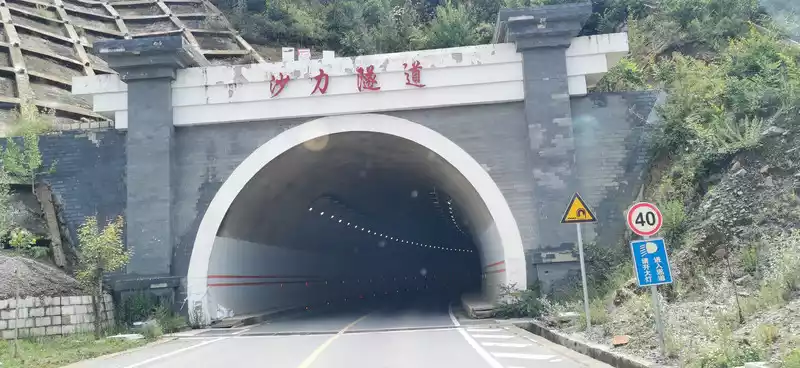
11:53 Shali Tunnel, from the bottom of the Jinsha River valley 1360 meters to the top of Xiaoliangshan 3000 meters above sea level, the distance is about 45 kilometers, 1 hour.
From the surrounding roads, you can see the Thirteen Peaks of the Jade Dragon and the Haba Snow Mountain from a distance.
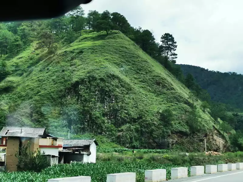
12:07 Green on the side of the road
13:02 Grab the fungus village Yuelu Restaurant
13:02 Pass by the homestay hotel next to Ninglu Highway - Yuelu Restaurant in Ninglang Hongqiao Township, which has an ethnic style. If you are not in a hurry, you can still come down for a meal.
13:05 A sea of fragrant potato flowers
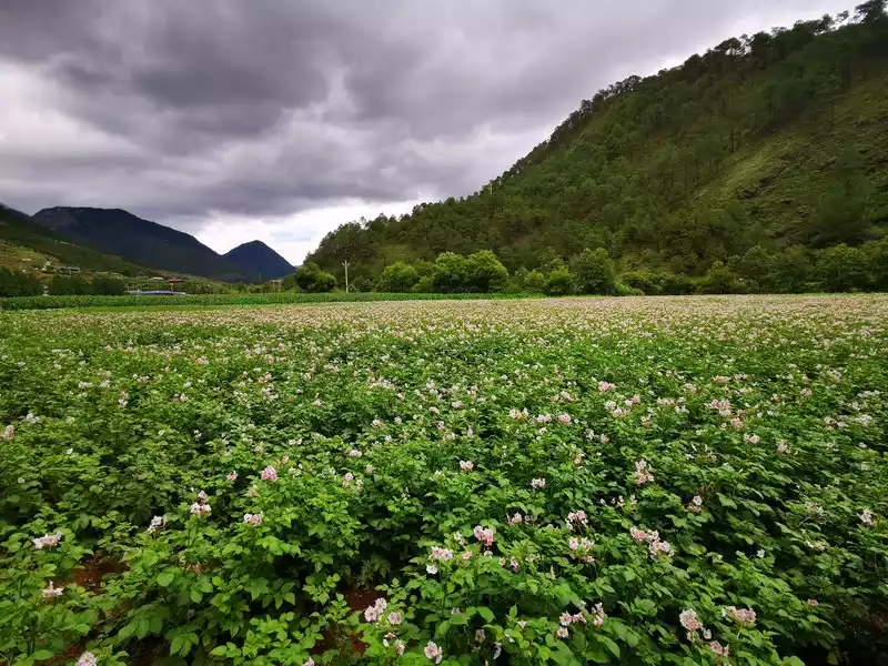 >13:05 When I drove to the road near Ninglang Airport, I suddenly smelled a burst of fragrance, and looked out of the car, a sea of flowers, green dotted with small flowers with red cores on a purple background, which were potatoes.
 Potatoes are an important industry for poverty alleviation in Ninglang industry. Ninglang Yi Autonomous County, located in "Xiaoliangshan", is located on the shore of Lugu Lake in northwestern Yunnan Province, affected by the topography of plateaus and alpine canyons, with a significant three-dimensional climate, cool and dry. The annual temperature is characterized by "low temperature, small annual difference, and large daily difference". At the same time, due to the characteristics of high altitude, strong ultraviolet rays, clean air and soil, good natural isolation conditions, and small transmission routes of pests and diseases, the produced potato seed potatoes are of good quality and slow degradation. This unique natural advantage has laid the foundation for Ninglang to become a new highland for the high-quality potato industry. In November 2020, Ninglang County, which was the last batch of withdrawal sequences, officially "lifted out of poverty".
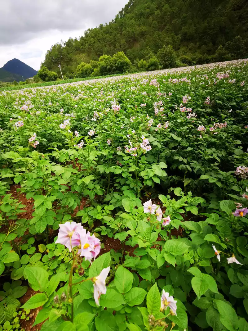
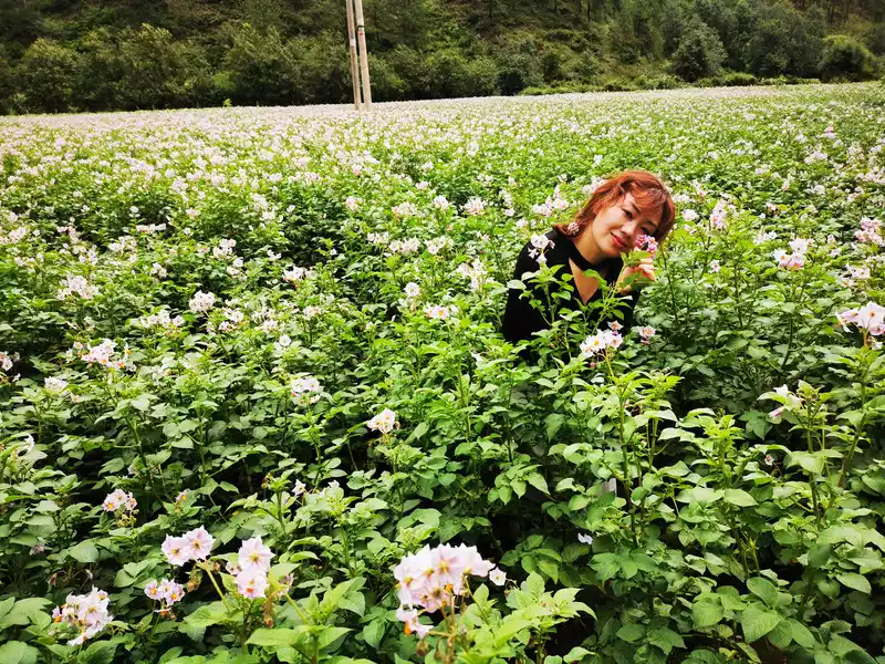
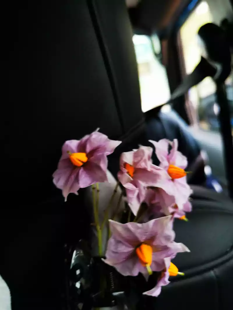
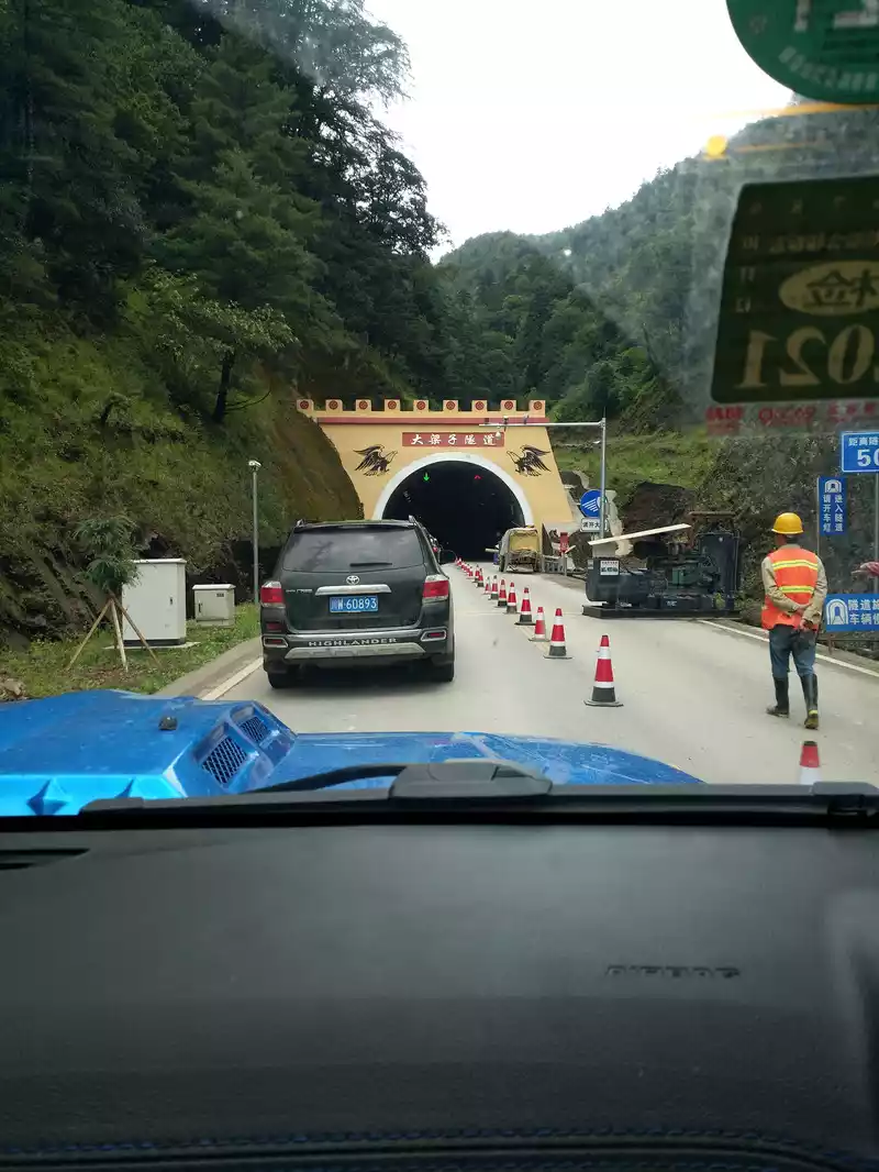
13:23 Daliangzi Tunnel 3170 meters above sea level
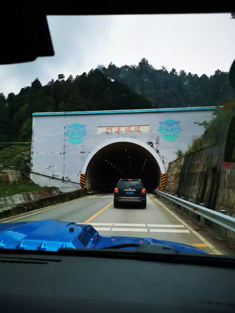
13:26 Asha Tunnel. Asha is a Mosuo language, which is the title of a man to call a female lover.
After passing through the Daliangzi Tunnel and the Axia Tunnel, arrive at the Lugu Lake Scenic Area Toll Station (Observation Deck) at 13:40.
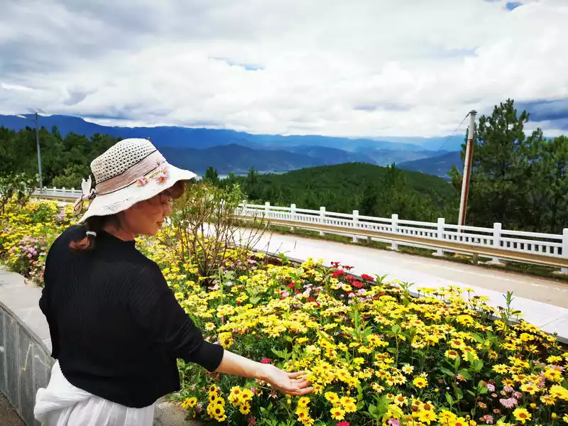
13:48 Lugu Lake Observation Deck
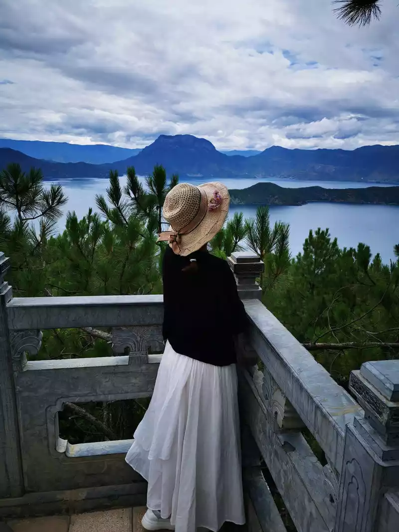
14:14 Overlooking Lugu Lake
Lugu Lake, located at the junction of Yanyuan County, Sichuan Province and Ninglang County, Yunnan Province, is under the jurisdiction of Sichuan and Yunnan, with Luguhu Town (formerly Zuosuo District) in Yanyuan County in the east and Yongning Township in Ninglang County in the west of the lake. Lugu Lake is a plateau fault dissolution and collapse lake, and belongs to the Litang River system, a tributary of the Yalong River, a tributary of the Jinsha River, the upper reaches of the Yangtze River.It is the highest lake in Yunnan Province and the third largest deep-water lake in China. The lake runs slightly north-west and southeast, with a length of 9.5 kilometers from north to south, a width of 5.2 kilometers from east to west, a shoreline of about 44 kilometers, a lake area of 50.1 square kilometers, a catchment area of 247.6 square kilometers, a maximum water depth of 105.3 meters, an average water depth of 40.3 meters, a lake reservoir capacity of 2.252 billion cubic meters, a maximum transparency of 12 meters, and an altitude of 2,685 meters above sea level. There are about 13,000 people living along the shores of Lugu Lake and 7 ethnic groups including Yi, Han, Naxi, Tibetan, Pumi, Bai and Zhuang, of which about 6,000 are Mosuo people (more than 5,000 Mosuo people along Lugu Lake in Sichuan). The Mosuo people, who have lived on the shores of Lugu Lake for generations, are known as living fossils of human family history and marriage history, and have high sociological and tourism value.
Thefamous American explorer Locke described Lugu Lake in his diary: "What envelops this place is the wonder of quiet and peace, this is the last place created by God, peaceful and quiet, a place suitable for gods to live."
" 15:30 Rig Village Wharf
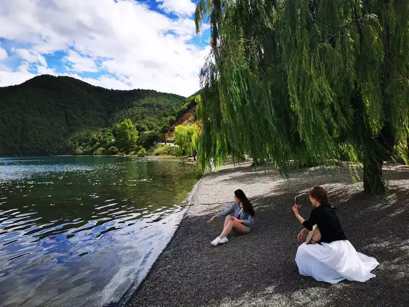 > 14:45 Depart from the Lugu Lake Observation Deck and go clockwise along the shore of Lugu Lake to the hotel we booked, On the way, we passed the Rig Peninsula Observation Deck, but there were too many people, so we went to the Darig Village Pier instead.
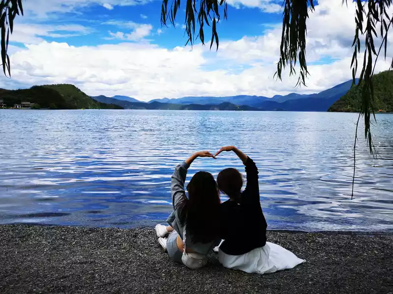
15:30 Go to the Rig Village Wharf and turn on the photo mode.
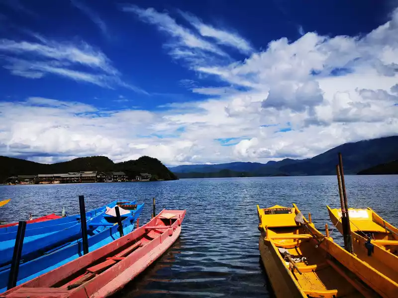
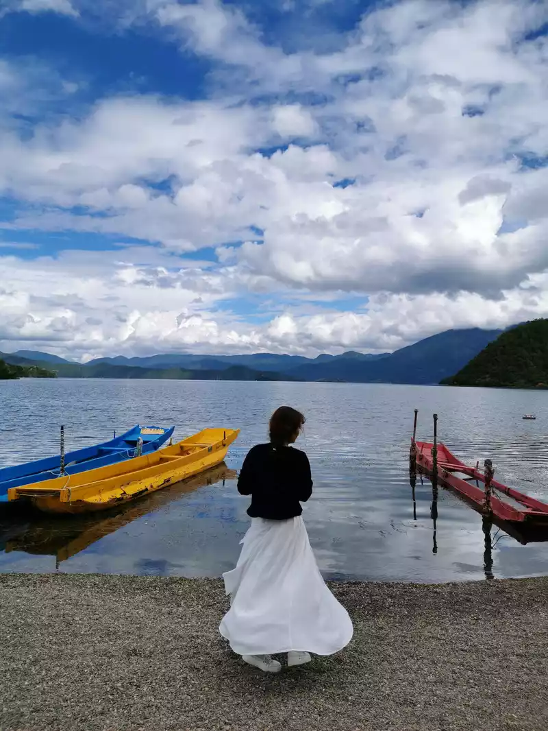
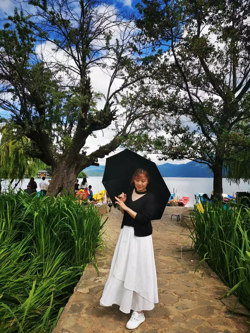
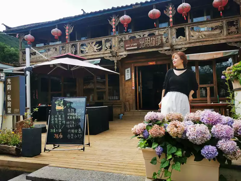
16:19 Nice homestay in Rig Village
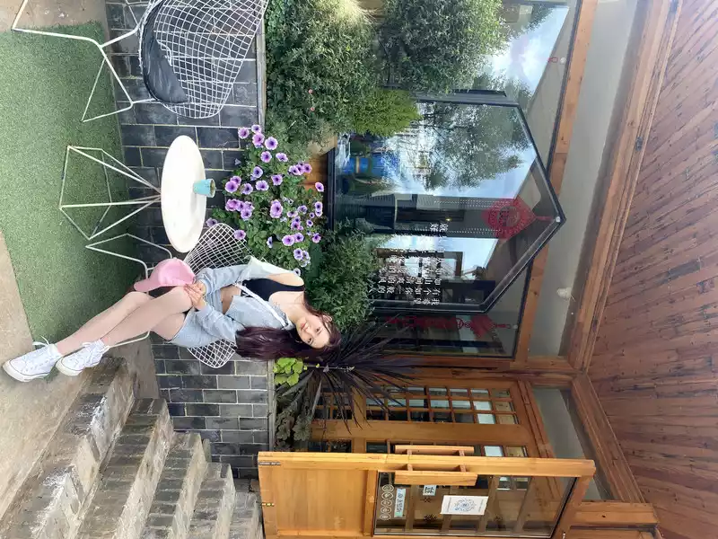
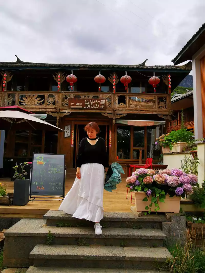
17:09 View of the Rig Peninsula
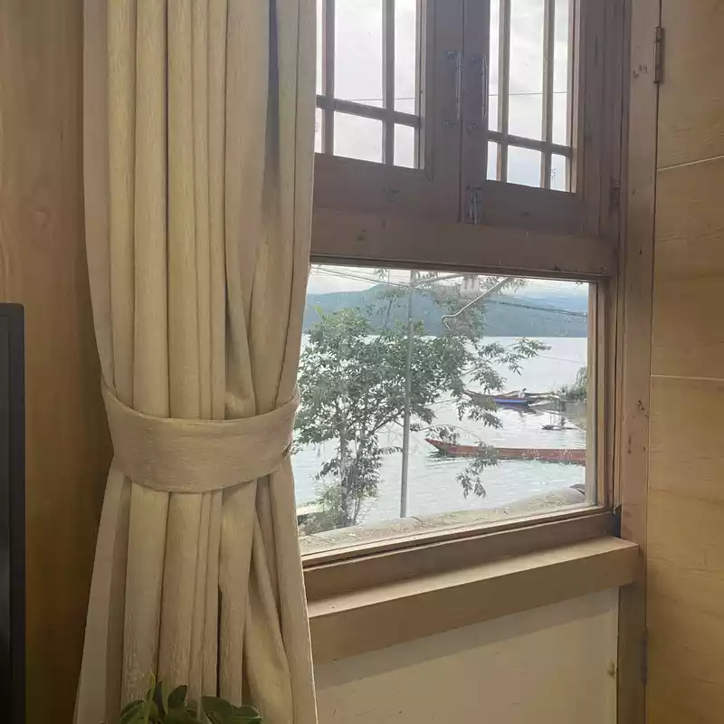
17:30 Check in to the inn. The inn is near Dazu Pier.
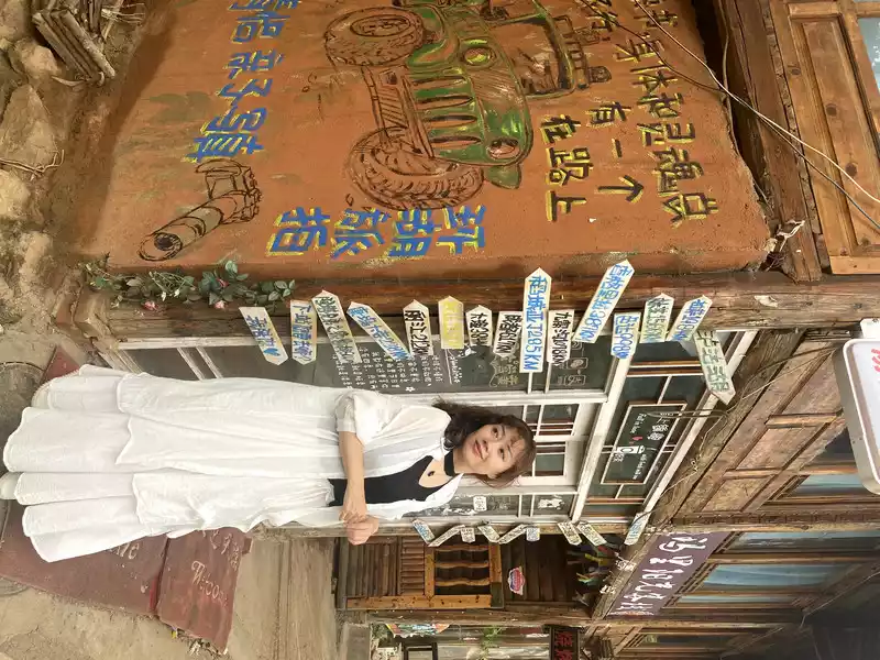
18:27 Take a turn around the inn
18:40 Eat steamed stone pot fish. One of the legendary eighteen monsters of Yunnan - the straw hat is used as a pot lid.Straw hat as a pot lid: Straw hat is a particularly good craft of all ethnic groups in Yunnan, and straw chairs, straw piers, straw curtains, and pot lid hats can be seen everywhere. Outsiders are dazzled by the world of straw weaving, and it is strange to mistake a similarly shaped straw hat for a pot lid.


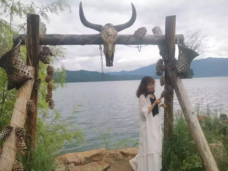
19:40 After eating the stone pot fish, it was still early, so I went to the lake to take a look.
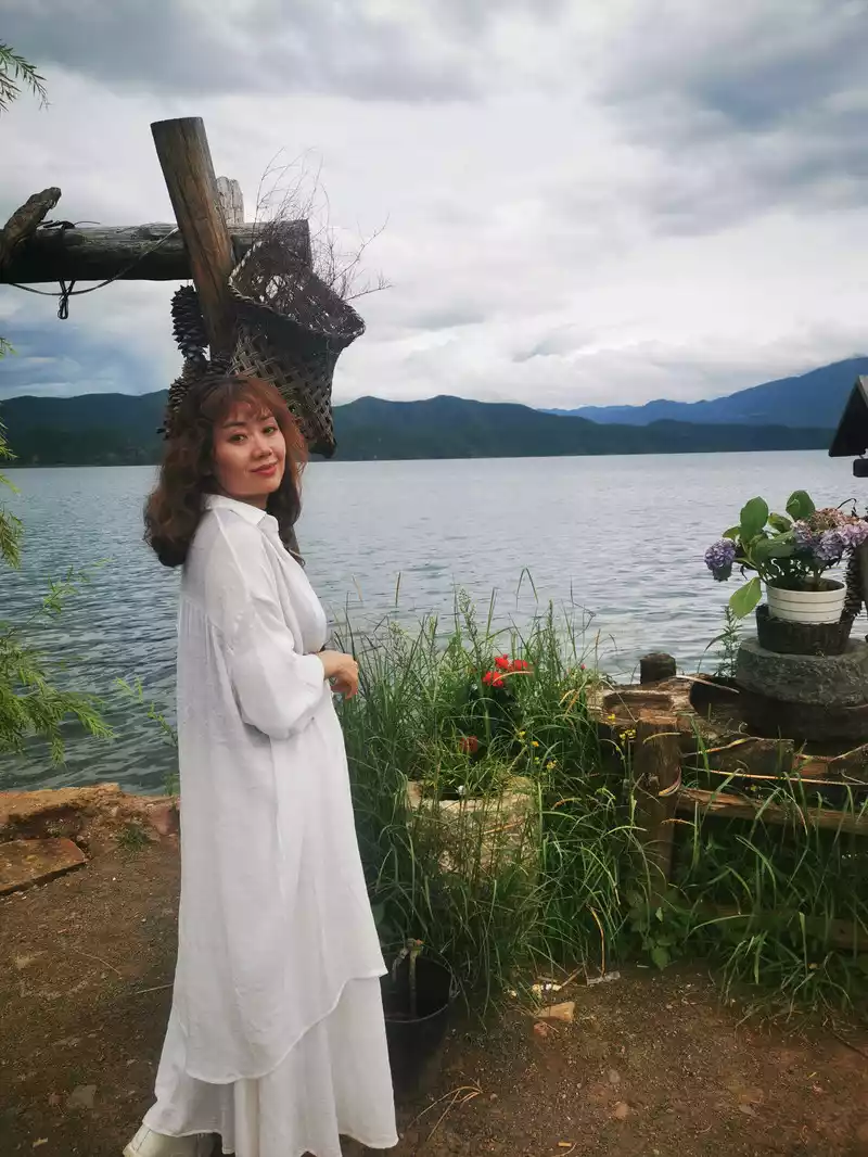

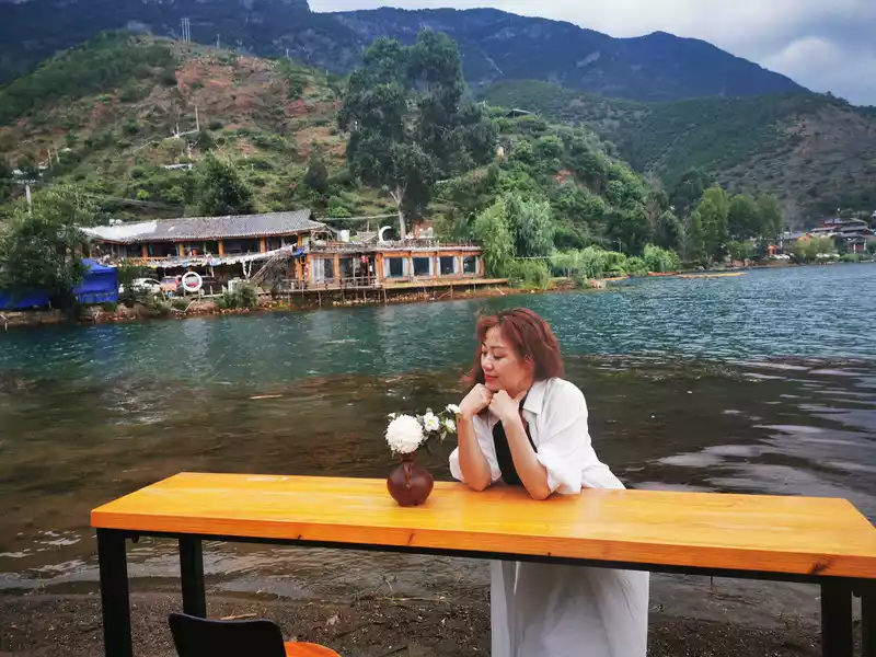
9:00 Morning Posing by the Lake
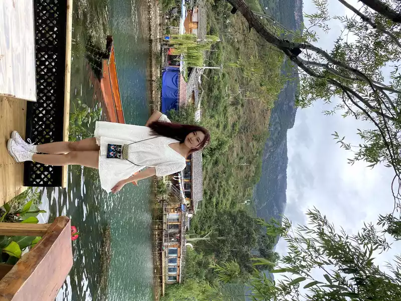
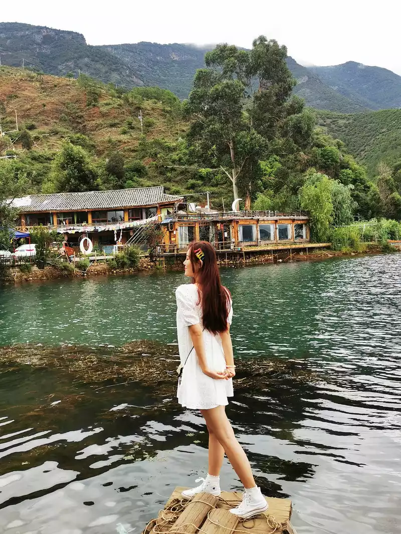
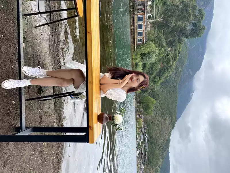
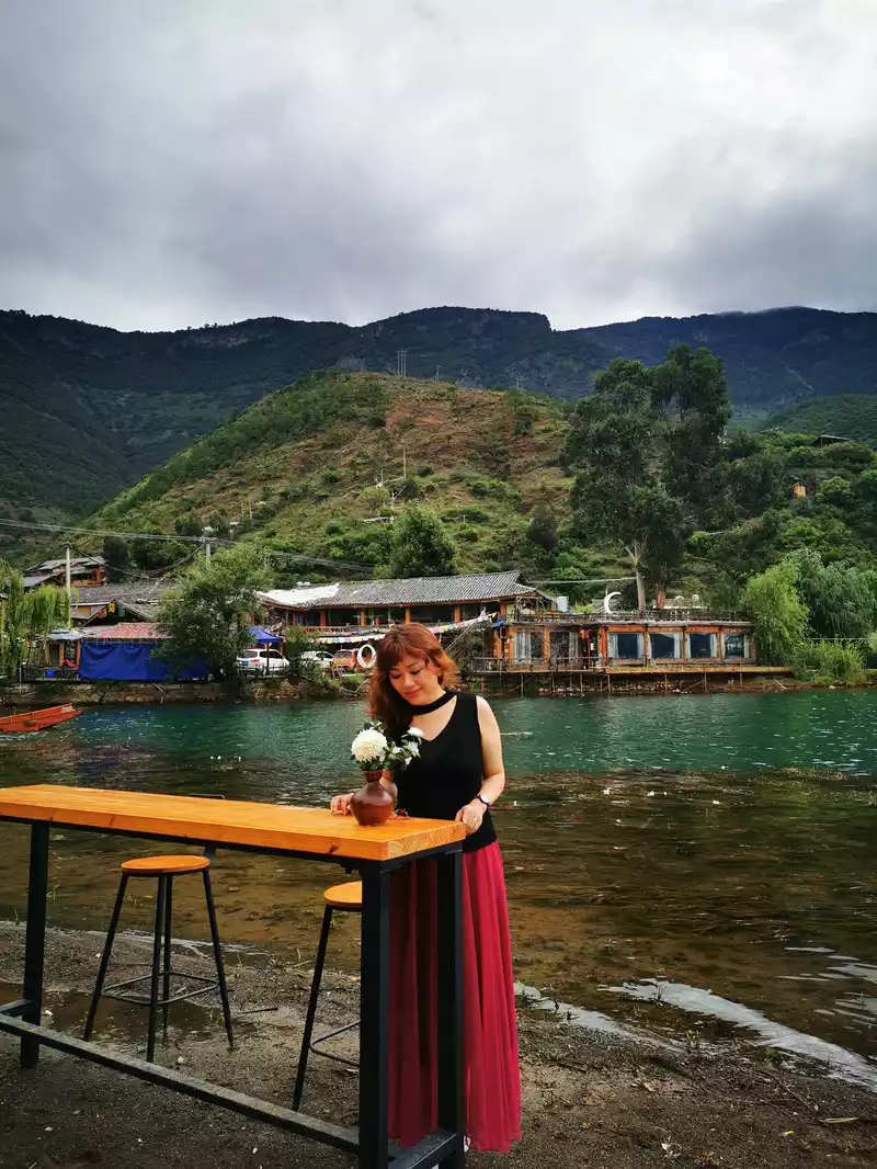
10:20 Caohai
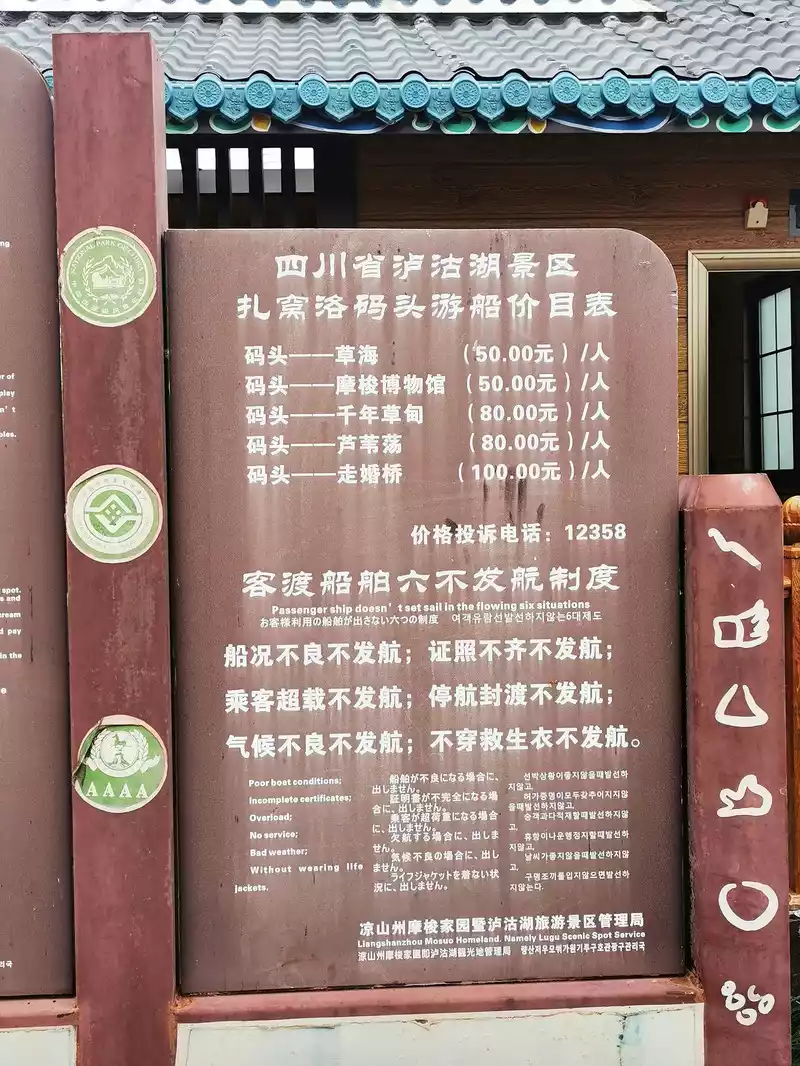
10:25 Zawolo Pier Toll List
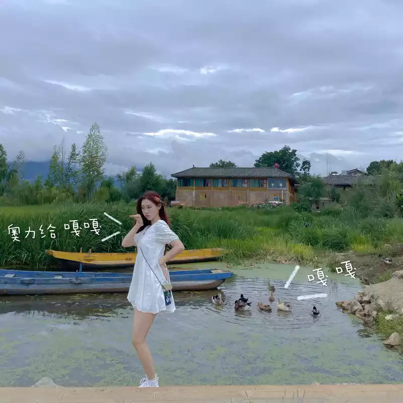
10:30 Zawolo Pier Since the shallow water pier does not depart boats, let's take a photo.
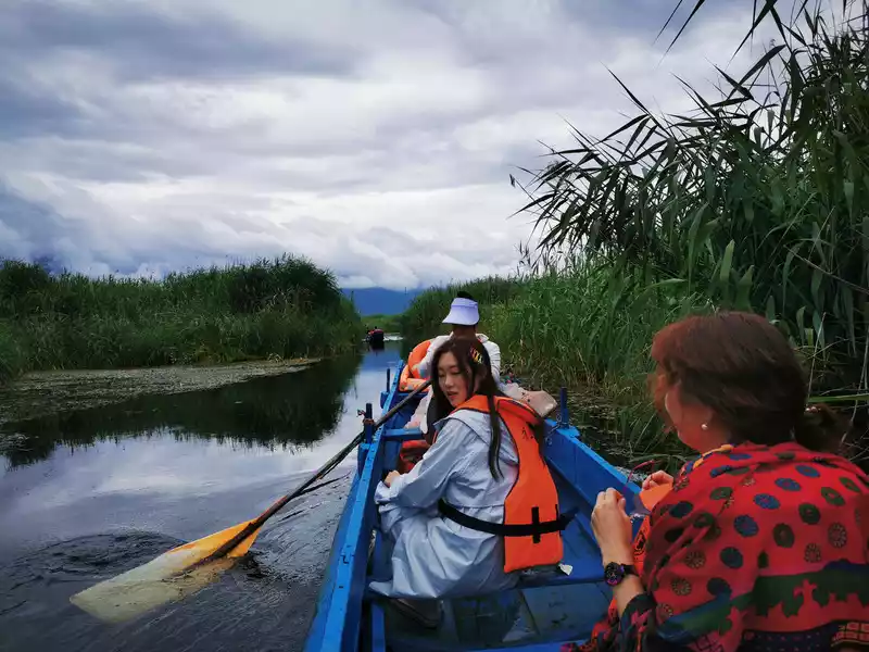
10:42 Bus Tree Jetty departs for Caohai and Flower Sea

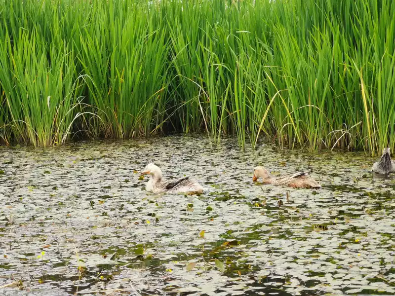 A
A mallard on the edge of the grass.
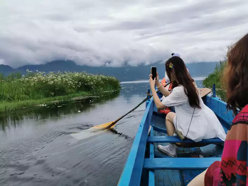 Sail to the sea of flowers
 11:00
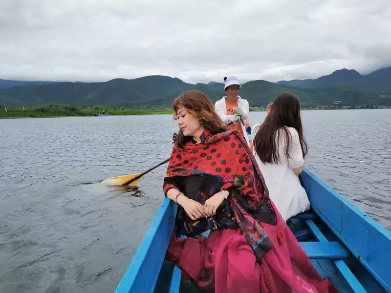
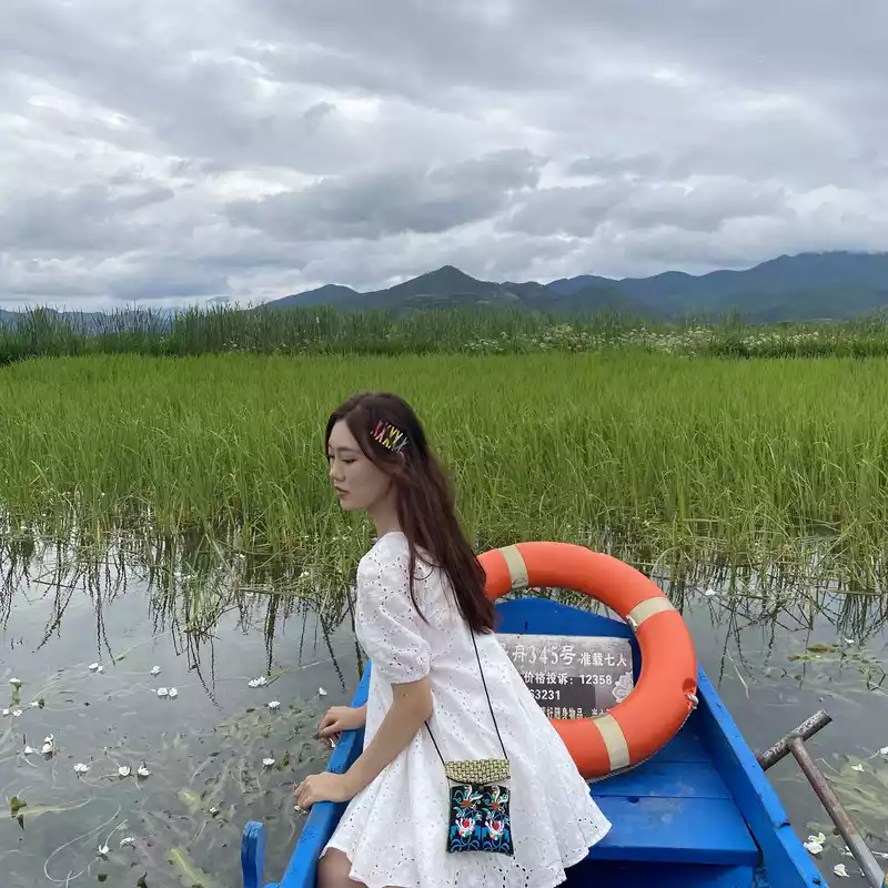
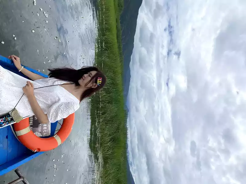 Sea of Flowers posed
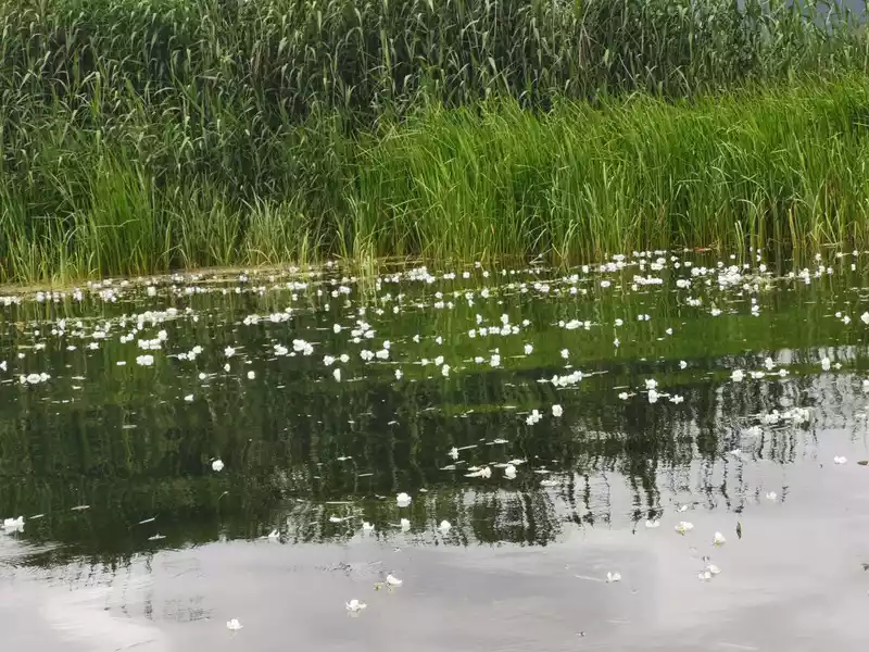
From May to October every year, the water surface of Lugu Lake will bloom with pure white flowers, clean and elegant, and three snow-white petals will gather together, clustered with a touch of yellow stamens in the middle. These small flowers float in the water like white clouds, swaying with the waves, shining in the sun, forming the famous wonder of Lugu Lake: water-based poplar flowers. Among the nine plateau lakes in Yunnan, only Lugu Lake can most often find its traces, because this flower has very high requirements for water quality and must grow in unpolluted waters. Indeed, the water in Lugu Lake is very clear.
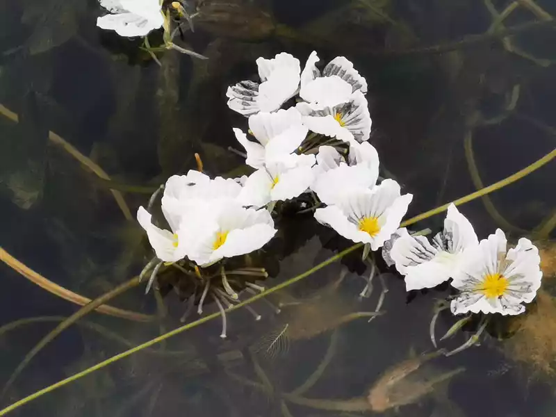
12:00 Return to the sea of flowers
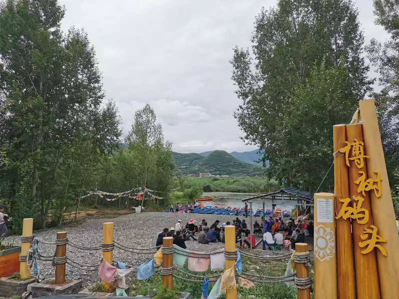 12:16 Boshu Wharf
 The villagers of Boshu Village are having a meeting at the pier, or sitting on a small stool, or sitting on the ground, as if discussing water quality issues, The relationship between ecological protection and economic benefits.
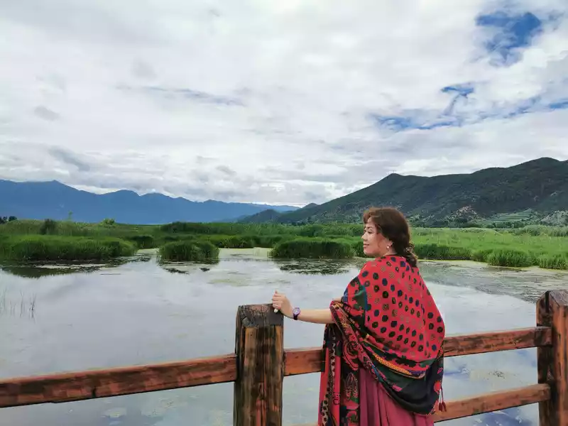 12:30Take a walk on the wedding bridge
 13:30Set off from Lugu Lake to Luoji Mountain
Lugu Lake-Luoji Mountain A hard, long, and magical journey
At 13:30 p.m. on July 16, we set off from the Marriage Bridge in Lugu Lake and started to the Ninety-Nine Mile Hot Spring Waterfall in Xichang Luoji Mountain. First take National Highway 348 (5 hours), and then transfer to National Highway 248 via Anhayi Town, a journey of more than 7 hours, basically winding through the mountains and mountains, which is a relatively hard journey.
14:42 On the road from Lugu Lake to Yanyuan
Ittakes 2.5 hours out of Lugu Lake to Yanyuan County, basically driving along the river valley, with cliffs on one side and rivers on the other, but the river water is yellow, I don't know if it is due to the flood in the rainy season. The rivers from top to bottom are Gaixu River, Yongning River , Krabi River, Yantang River, and Yanjing River, which are actually a river, which is a tributary of the Yalong River, the Xiaojin River, a tributary of the Wolo River, which flows through Krabi Town is called Krabi River, flowing through Yantang Town is called Yantang River, and flowing through Yanjing Street is called Yanjing River.
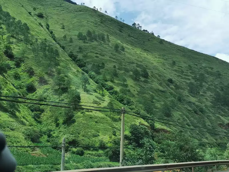 14:42 pm The eye-catching green of the mountains across the road
 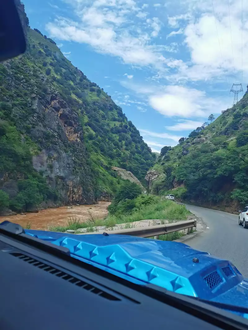 15:05 Drive along the Yanjing River
 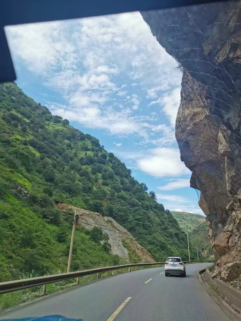 15:05 p.m. Cliffs on the side of the road
 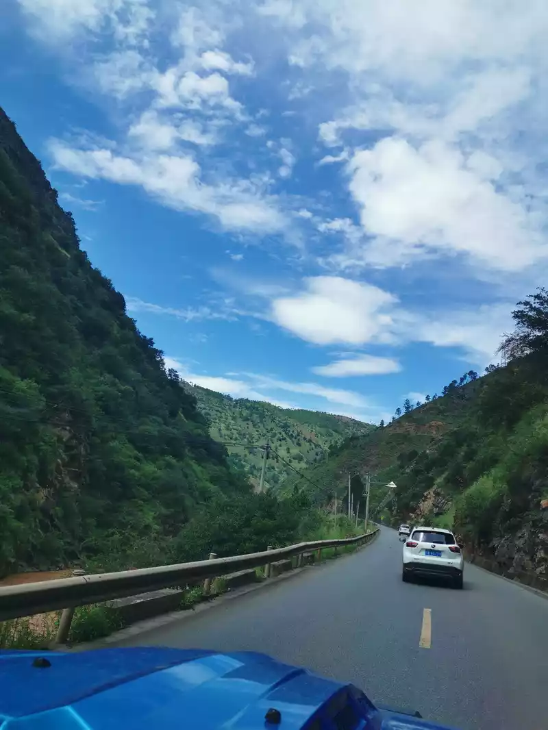 15:05 p.m. Blue sky and white clouds along the way
 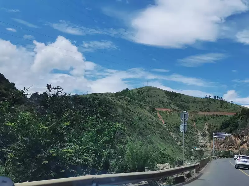 15:07 p.m. Blue sky and white clouds along the way On
 the way from Lugu Lake to Yanyuan
15:18 Xigou Village Tourist Rest Area
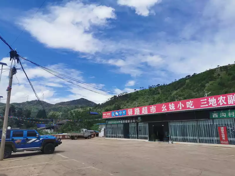
15:18 There is a supermarket for shopping in Xigou Village, Yantang Town, Yanyuan County, and a simple open-air toilet next to it.
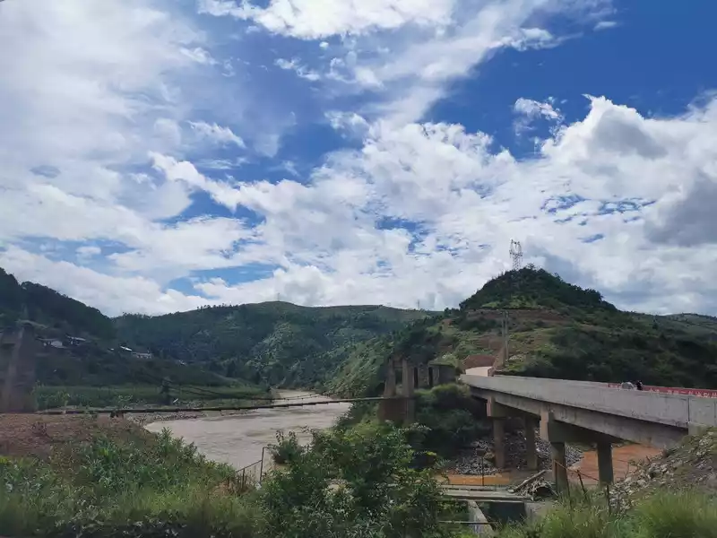
15:18 p.m. A ferrata bridge next to the highway bridge near the rest area of Xigou Village, Yantang Town, Yanyuan County, has been abandoned.
16:00 Yanyuan County
Yanyuan County belongs to Liangshan Yi Autonomous Prefecture in Sichuan Province, located on the southeastern edge of the Qinghai-Tibet Plateau in Sichuan Province and on the west bank of the lower Yalong River. The terrain of Yanyuan County is characterized by the surrounding alpine canyons and the central hilly basin. The general altitude is 2300 meters to 2800 meters, the highest altitude is 4393 meters, and the lowest altitude is 1200 meters.
Salt source, as the name suggests, is a place rich in salt, which used to be rich in "well salt", famous for the "benefit of salt and iron", and is an important commercial and travel corridor on the ancient southern Silk Road, an important town in the southwest, and a famous historical county. In addition, Yanyuan is rich in apples and Phnom Penh melon seeds, which is the largest apple production base in southwest China, accounting for 60% of Sichuan's total apple production. I checked it on the Internet: Yanyuan apples are characterized by sweet and sour, fragrant, crisp, and juicy, and rock sugar apples are even more amazing, as sweet as bees. It's a pity that we were in a hurry and didn't stop to taste it. Yanyuan County withdrew from the poverty-stricken county in February 2020.
Nearly 5 hours of the more than 7-hour journey from Lugu Lake to Xichang were on the road in Yanyuan County, from Lugu Lake Town in the west of Yanyuan to Jinhe Town in the east of Yanyuan.
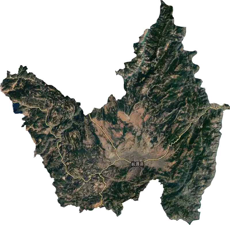
16:50 Small alpine fog
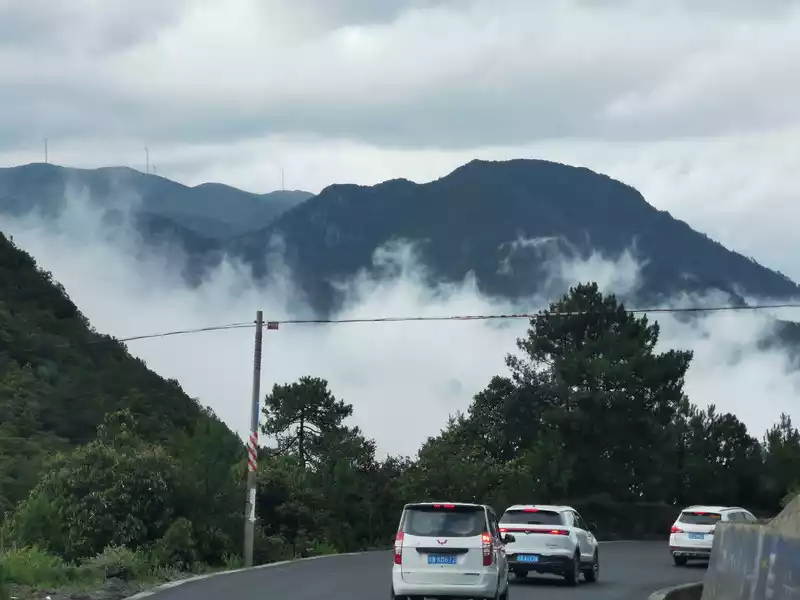
16:50 p.m. Thick fog on a small high mountain.
After Yanyuan County, there is a small mountain (3780 meters above sea level), and the mountain road is rugged and winding. When I went up to the top of Xiaogaoshan, I suddenly found that the mountains in front of me were misty, like a mysterious fairyland. Soon we drove into the fog area, like a dream.
17:22 Long downhill
National Highway 348 (formerly National Highway 307) is the only passage from Lugu Lake to Xichang, with large traffic flow, many large trucks, slow speed, and sharp curves, it is very dangerous for you to overtake. The construction of the Xiaogaoshan Tunnel started in 2019 and is expected to be completed in 3 years, starting from Baicao, Weicheng Town, Yanyuan County, and ending in Qingtianpu Village, Pingchuan Town, with a total length of 7.9 kilometers, which can save at least half an hour after opening in the future.
Last year, we walked through the Qinggan Northwest Ring Road, and this year we took the Southwest Ring Road, and walked many long mountain roads, but in terms of driving difficulty, the difficulty and hardship of climbing over small mountains are no less than those of Zheduo Mountain on National Highway 318. National Highway 318 is high in altitude, but the slope is relatively gentle, and although the altitude of the small mountain is not high, the vertical height difference is large, and the slope is steep and curved. When I was about to go down the mountain, I saw that someone in the car in front of me couldn't stand it and kept spitting out of the car.
After about an hour and a half of winding through the small mountains, we finally descended, and after passing Pingchuan Town, Yanyuan County, we rested for a while, refueled, there was a highway management office next to the gas station, went to the toilet, and then continued to set off.
18:00 Cross the Yalong River Bridge at an altitude of 1222
The Yalong River is called a famous river full of women's culture by China National Geographic, and is locally called the Dajin River. After crossing the Yalong River, you have to pass through the Coal Gully Tunnel and the Mopanshan Tunnel, and you can overlook Xichang City after going down to Mopan Mountain.
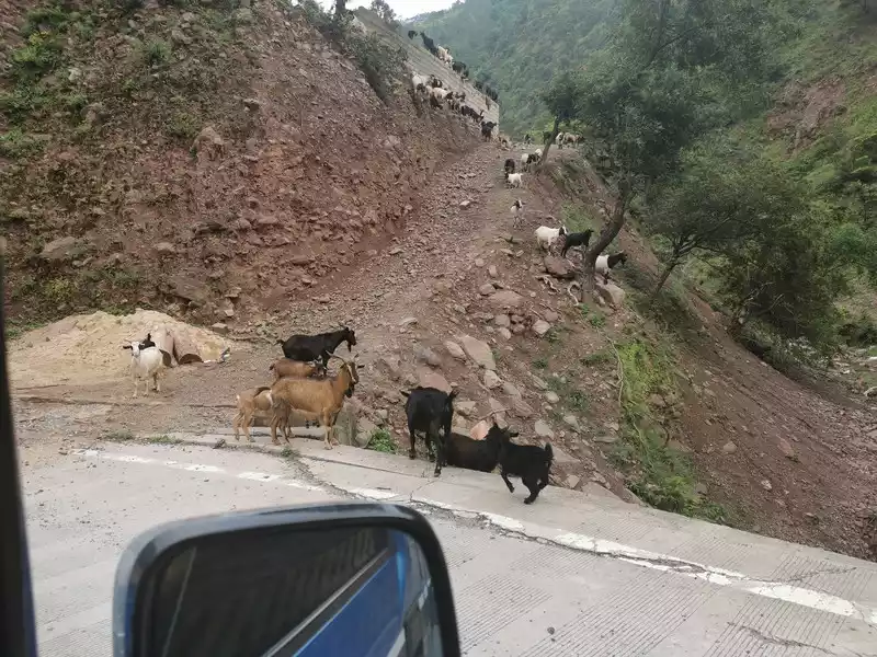
18:23 A herd of goats encountered on the road at an altitude of 1525
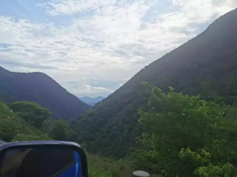
18:28 Mopanshan
19:00 Take a break in the suburbs of Xichang
After going down to Mopan Mountain, we saw Xichang from a distance, we didn't go to Xichang today, and the next step was to leave National Highway 348 and turn to Luoji Mountain Ninety-Nine Mile Hot Spring Waterfall. At 19:00, although it was one step away from the hot spring waterfall, we decided to take a break, although Master Xiao Ma was a battle-hardened old driver, after an afternoon of difficult journey, he was also a little tired, and he had to find a place to eat to replenish some energy. I forgot what the specific location was, but I remembered that there was a viaduct, a gas station, a halal mutton restaurant, and a small supermarket opposite. It was too late, the restaurant was off work, and there was only one owner of the halal restaurant, so we asked for a pot of mutton soup to eat a little bit. The daughter also asked for a scrambled egg with tomatoes at the small supermarket opposite, and scrambled eggs with tomatoes are the girl's favorite, and she has to try this dish wherever she goes.
Pass the Anning River
, a tributary of the Yalong River, and setoff again after dinner at 19:40 to Luoji Mountain Jiujiuli Hot Spring Waterfall, about 1.5 hours away.
20:10 A magical trip to Anha Yi Town
To go to Luoji Mountain Ninety-Nine Mile Hot Spring Waterfall, you must first pass through Anha Town, which is located on the mountains, and then turn to National Highway 248 to go directly to Luoji Mountain Jiujiuli Hot Spring Waterfall. Anha Town is the only Yi organized town in Xichang City, with an average altitude of 2,500 meters on the country road.
The sun gradually set after 20 o'clock, and the sky gradually darkened twenty minutes later, but strangely none of the villages we passed through had lights, and there was no shadow of a person, as if we had entered a quiet ghost town, only our car was quietly driving on the winding country road, what's going on? We beat the snare drum of unease and doubt in our hearts. After driving in the dark for a while, suddenly a spark rose in the mountain pass in front of us, and then there was another one, as if it were fireworks, which made us all remember, what kind of festival is being held here, right?
20:30 Yizhuang Torch Festival
20:20 Gradually I found that there were people walking on the side of the road, there were still many people, there were people lighting torches, and there were bonfires on all sides, and the crowd was surrounding the fire, could it be a torch festival?! There is also a sign on the side of the road indicating that there is a sign to go to the Xianren Cave Scenic Area, there is a section of the road where there are a lot of people walking, as if we are going to a party somewhere, we stopped to ask what the situation was, and sure enough, it was the Torch Festival of the Yi people! Later, I checked the places we passed through at night: Luoling Yijia, Dayi Yizhuang, Xianluo Yizhuang, and Qubi Yizhuang. If we weren't in a hurry, we might have gone together to join in the fun and leave a regret for the next trip.
20:30 Pass the town of Anha at night
20:40 A section of the night road to the hot spring waterfall
At 20:40, it started to rain when I was about to leave Anha Town, and I turned to National Highway 248, passing through Wudaoqing Township and Luojishan Town in Puge County to Luojishan Ninety-Nine Mile Hot Spring Waterfall, and it rained all the time. Finally, turning from National Highway 248 to Luoji Mountain Ninety-Nine Mile Hot Spring Waterfall is a pothole and muddy road, 2 kilometers, about ten minutes to walk, and it rained heavily when we were about to arrive at the Dacaohe Hotel.
21:20 Arrived at the Dacaohe Hotel in the rain. The hotel is about 100 meters away from the gate of the scenic spot, and the location is superior, so it should be a good hotel near the scenic spot.
Popularize a travel knowledge: Luoji Mountain Scenic Area and Luoji Mountain Ninety-Nine Mile Hot Spring Waterfall are not the same place, they are two scenic spots, both in Luoji Mountain, but more than ten kilometers apart. Luoji Mountain Scenic Area is in Luojishan Town, and Luoji Mountain Ninety-Nine Mile Hot Spring Waterfall is in Buckwheat Town, and it is more than ten kilometers south from Luojishan Town.
Luoji Mountain Hot Spring Waterfall Introduction Luoji
Mountain The name of Luoji Mountain comes from its "sister" relationship with Emei Mountain: Emei Mountain is like a woman's silkworm moth's eyebrows, Luoji Mountain is like a green snail-like bun on a girl's head, and the world also has such praise for it: "Xizi heavy makeup, Emei lightly wiped, spiral bun natural", is also the most beautiful scene, and the beauty of Luoji Mountain is in its nature.
●The world's largest hot spring waterfall
isninety-nine miles of spiral hairpins, one mile and one scene, nine miles and one wonder, a total of ninety-nine scenes, so it is called snail hair ninety-nine miles. In 2013, Luojishan Hot Spring Waterfall was recognized by the World Record Association as the world's largest hot spring waterfall, the world's only hot spring archipelago, and the world's only cliff hot spring; It was reported by CCTV as "the most beautiful hot spring in the world; It has been rated as "China's most beautiful hot spring tourist attraction" by China's national tourism and other organizations, and is the only natural hot spring in the world that can be appreciated, drinkable and cured.
●Alpine hot spring
Afterthe snow water of the first peak of Luoji Mountain melts, a living water lake is formed 50 meters upstream of the hot spring waterfall, the lake water is cold and biting in all seasons, and the hot springs gush out, forming six small islands, the island can soak in hot springs, and there are cave hot springs on the island, where water and fire are blended, and the temperature is just right.
●Hanging Wall Hot Spring
Inthe mountains, hot spring water gushes out from the cliff wall, forming the world's only hanging wall hot spring.
In the snail hair ninety-nine miles, you can not only soak in the hot springs, but also enjoy the beautiful scenery. Hiking along the stone steps to the observation deck on the cliff, the view suddenly opens up, the beautiful scenery of the green valley is unobstructed, soak your body in a pool of hot spring water in the pool, listen to the birds and flowers in the mountains, which makes people feel refreshed and uncomfortable.
●Drinkable hot springs
Thenaturally formed Kujukuri Onsen Waterfall has first-class water quality. Rare radon spring water can be drunk directly.The test results of Luojishan hot spring water by the Environmental Engineering Center of Sichuan Geological Engineering Survey Institute show that all its indicators meet the national natural drinking mineral water standards, and it is the best natural mineral water in China that can be drunk directly. Radon itself is an inert gas with stable properties and is easily soluble in water. If the water contains a sufficient amount of radon elements, it can be called radon spring water, which belongs to the aristocracy of water and is also the most scarce high-quality natural drinking water in the world. In ancient times, radon hot springs were reserved for royalty and nobility. At the same time, radon hot spring water is internationally recognized as a "natural medicine" with medical efficacy.
7:40 Morning of the ninety-nine miles of spiral bun
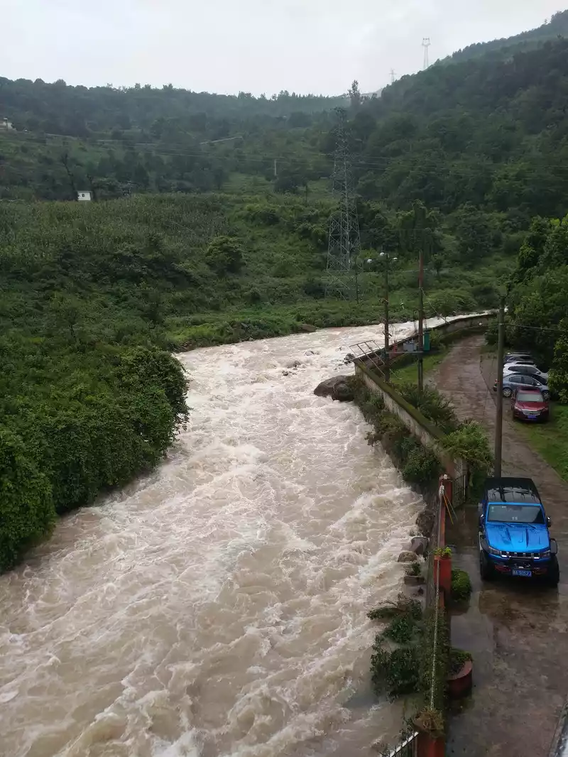
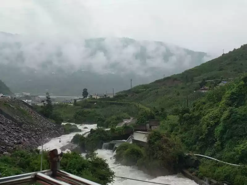 It
It rained heavily yesterday, and it was very fresh in the morning, with the big trough river next to it rushing majestically and the mountains in the distance shrouded in clouds and mist, like a dream. There is a canteen next to the Dacaohe Hotel, there is breakfast to eat, we asked for 3 bowls of glutinous rice balls, which are quite delicious.
10:45 Take the car up the mountain
Because I arrived at the hotel late last night, I got up late today, and missed the morning half-price ticket from 7:00 to 8:00 in the morning, and there is also a half-price ticket in the evening in the scenic spot, and there is also a free ticket policy for medical staff. After purchasing tickets, we took the scenic shuttle bus to enter, driving along the steep one-way narrow road of the river valley, and there were many large and small waterfalls on the way into the rolling river, and we could see the white mist rising in the depths of the mountains and forests from a distance, like a fairyland.
10:58 Arrive at the Changing Center
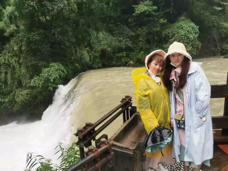
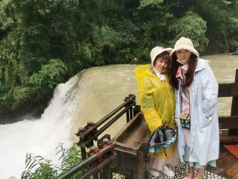
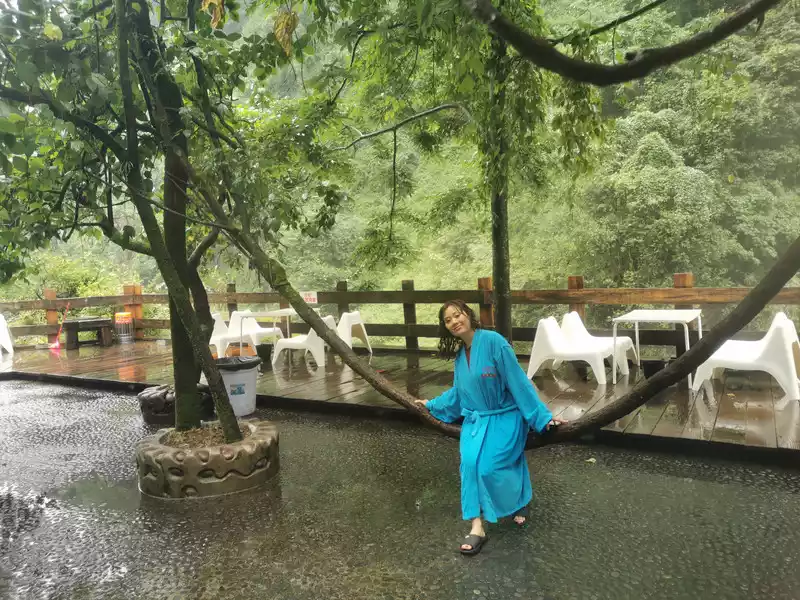
Tree vine swing
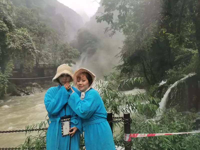
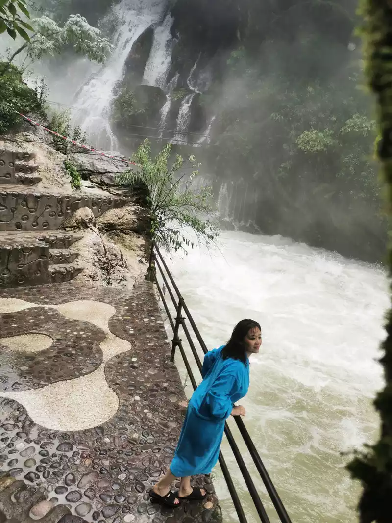
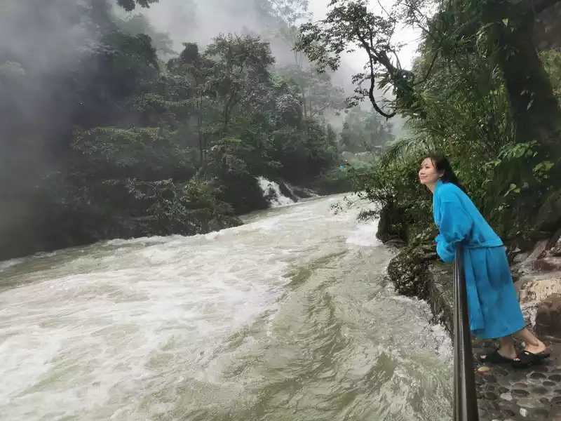
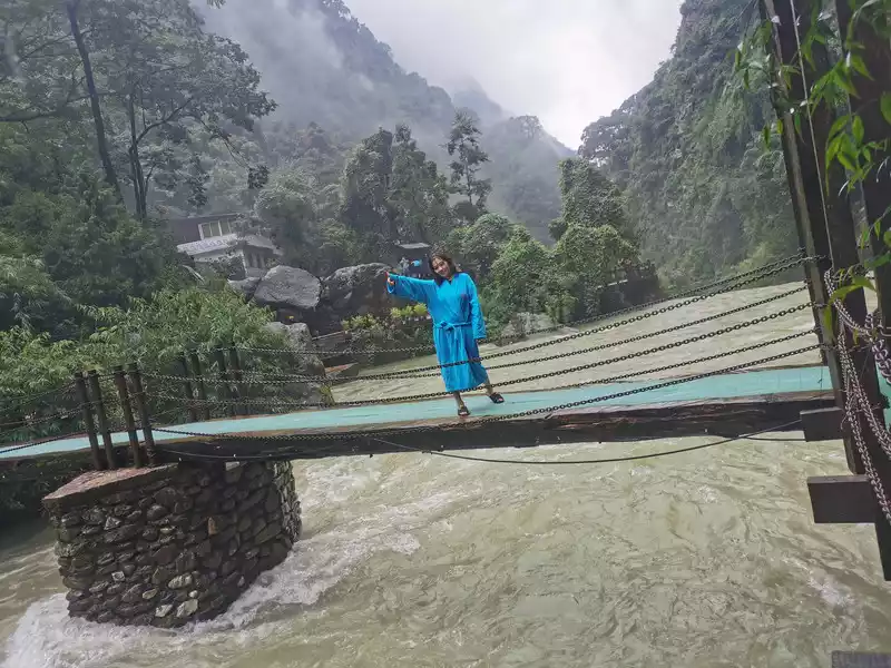
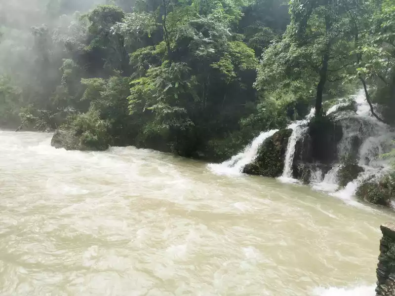
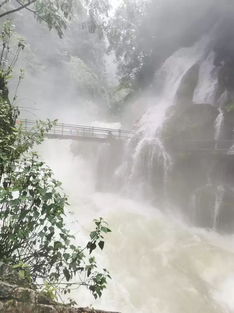
11:30 Feel the shock of the hot spring waterfall
Because of the flood, only two pools were opened that day for safety reasons. It just rained yesterday, the sky is still a little cool, the hot spring is cold outside, the daughter has been unwell these days, and she will go back to the rest area to wait for us after soaking for a while.
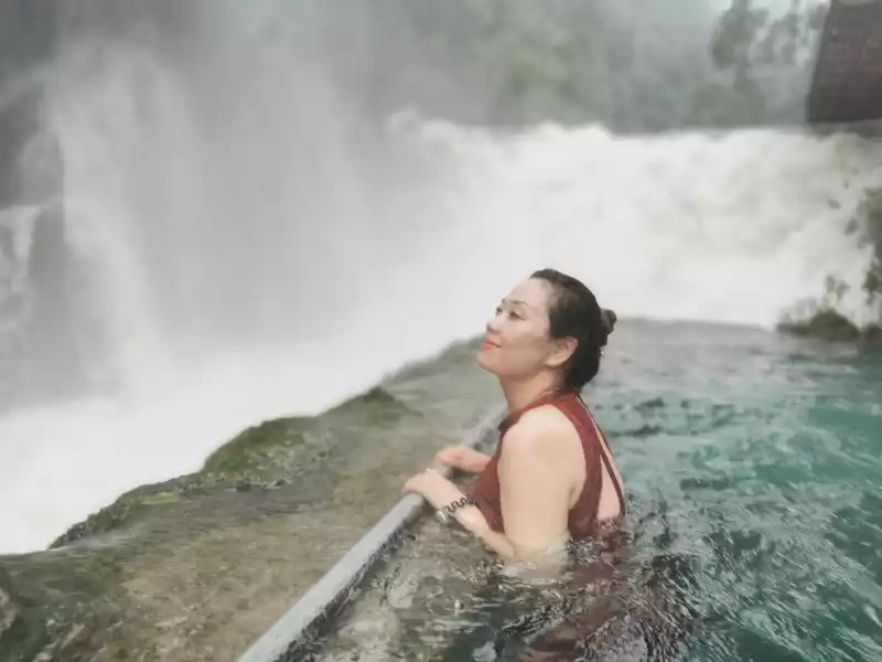
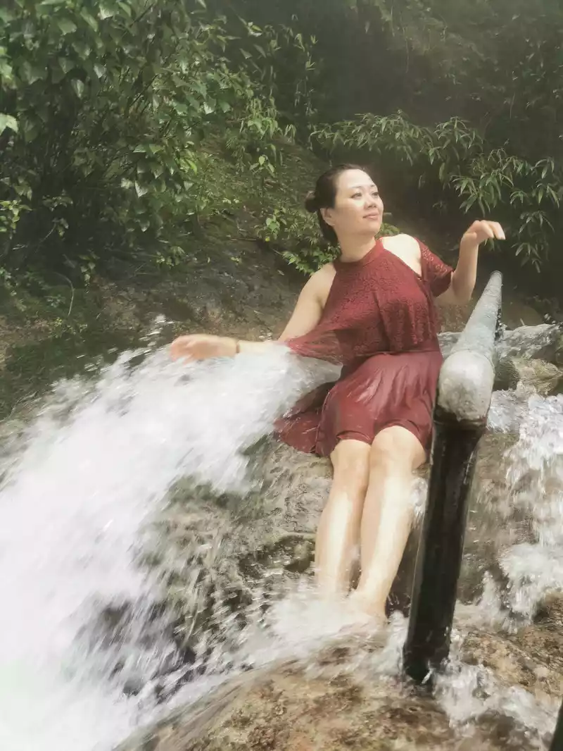
for a natural spa
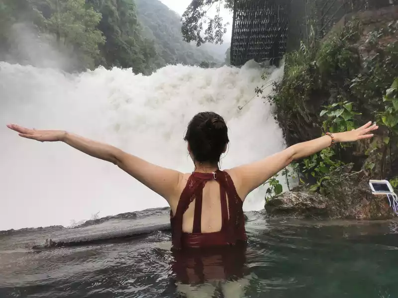
Further up from this waterfall, you'll see the world's only hot spring archipelago. There is also an observation deck on the mountain, where you can enjoy the scenery from a high place. Further up the observation deck is the world's only wall-hung hot spring! It's a pity that we didn't enjoy these beautiful scenery this time, so we can only look forward to coming back next time.
Arrive in Xichang at 15:30
Depart from Luojishan Jiujiuli Hot Spring Waterfall at 2:00 pm and go to Xichang along National Highway 248, a journey of 1.5 hours. At 15:30, we arrived at the homestay we booked - at Liangshan Lunari Inn (Huanhai Road Branch) near Xichang Qionghai Wetland Park.
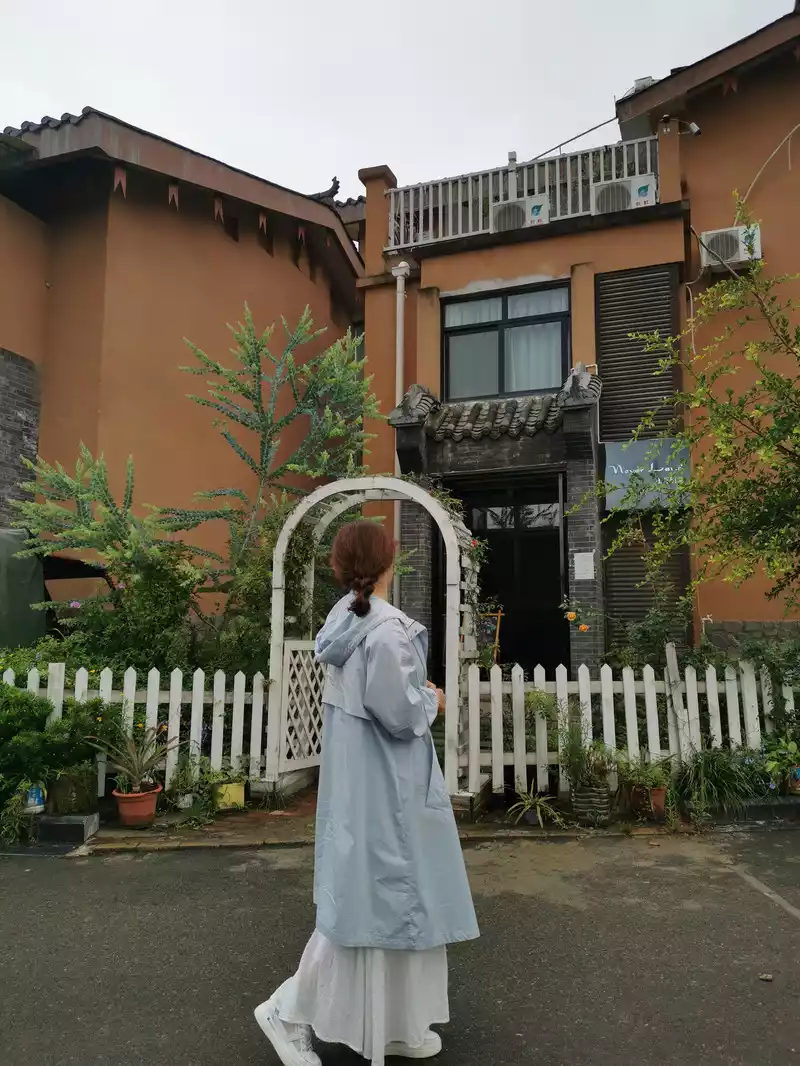
The entrance to the inn

Take a look at the view from the inn terrace
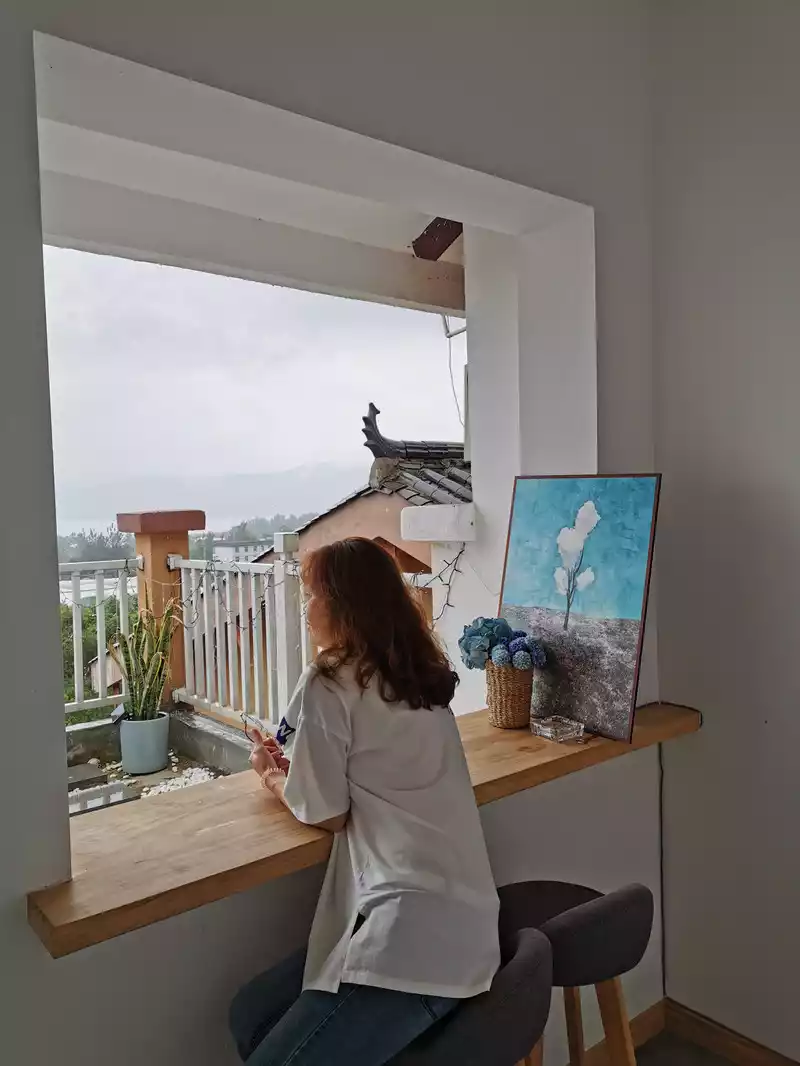
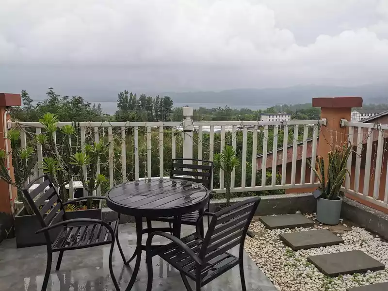 View of
 Qionghai from the inn's terrace.
15:50 Go around the inn. The inn we stayed in is in Hainan Gucheng Village, a suburb of Xichang City, which is very close to Qionghai and has a number of characteristic homestays.
16:30 Cassia for the eyes

17:00 I took a taxi to visit Xichang City, and it rained again. 17:30 Go to Xichang Times Square for a meal, and then go to the Century MALL shopping center opposite.
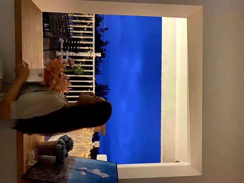
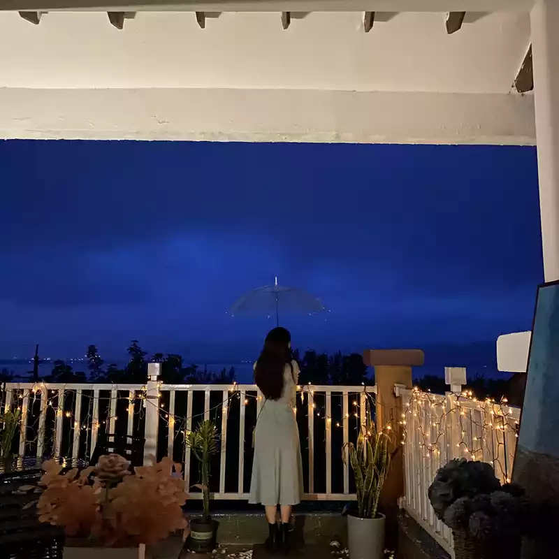
Xichang Qionghai at night
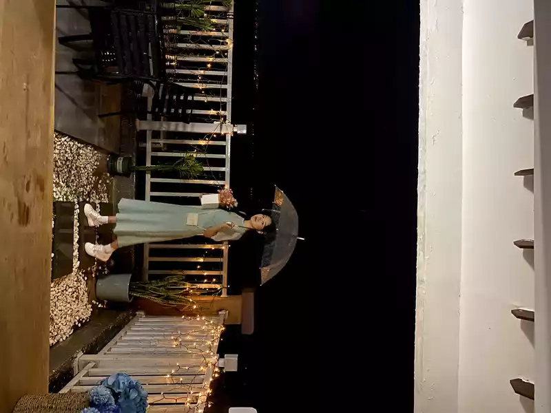
This pose doesn't look like a classic action for someone taking a photo.
 Good
Good night!
Xichang City, the capital of Liangshan Yi Autonomous Prefecture in Sichuan Province, is located in the Anning River Valley region in the southwest of Sichuan Province, with an altitude of 1,500 meters. In ancient times, Xichang was an important node of the Southwest Silk Road to India, and now it is an important node city on the Southwest Shangri-La Tourism Loop and the Sichuan-Yunnan Tourism Golden Line. Famous attractions are Lushan, Qionghai and Xichang satellite launch bases. Xichang City is also a major grain county in the country, a large pig county in the country, the hometown of onions in China, the hometown of flowers and trees in China, and the hometown of winter strawberries in China.
Xichang's four business cards: the world-famous Sun City, Moon City, Aerospace City, and Xiaochun City ("a city that inhabits spring").
"Sun City"
Xichang is located at the 28th parallel north latitude, and the sun shines strongly during the day, and the sun can be seen basically every day of the year. Visibility is very good, which is one of the important reasons why Xichang has become a space city. It's a pity that we went at the wrong time, Xichang only had a few rainy days a year for us to catch up! Otherwise, the scenery of Qionghai will be even more beautiful.
"Moon City"
Xichang has wonderful moonlight every night, so it has always been known as "Moon City". The best place to enjoy the moon in Xichang is Qionghai. "The moon rises from Qiongchi water, and the sky is clear and clear". The water of Qionghai Lake is clear and transparent, and the moonlight is bright and bright, and the two complement each other and together form a beautiful landscape. Enjoying the moon in Qionghai can make people forget all the mundane worlds and make people feel refreshed. Legend has it that Qionghai is the place where the moonlight fairy bathes, and every night in the middle of the lunar month, the fairy descends to the world and plays in the Qionghai Sea. Therefore, the moonlight in the lunar month is the brightest, the moonlight is the most beautiful, and it is refreshing and clear.
Yi Torch Festival
In addition, due to its location in the hinterland of Daliang Mountain, Xichang also has strong national characteristics. Walking on the streets of Xichang, you will find that Yi script is all over the streets and alleys of Xichang. Every August, the Yi Torch Festival will also be held here, and more and more tourists will learn more about Xichang and the Yi people through the Torch Festival.
9:10 Qionghai Wetland Park
Today is the last day of this trip, and after having breakfast at the inn in the morning, we packed up and set off for Chengdu. Pass by Qionghai to Guanhai Bay Wetland Park.
Qionghai, located in Xichang City, Liangshan Yi Autonomous Prefecture, Sichuan Province, Qionghai is the second largest freshwater lake in Sichuan Province, known as Qionchi in ancient times, and is a fault lake in the early Pleistocene. Its shape resembles a snail, with a length of 11.5 kilometers from north to south, a width of 5.5 kilometers from east to west, and a circumference of 35 kilometers; the average depth of the lake is 14 meters, and the deepest point is 34 meters. In the water system, it belongs to the Anning River, a tributary of the Yalong River, a tributary of the Jinsha River, the main stream of the Yangtze River, and the lake water is discharged into the Anning River. It is the source of industrial and agricultural and urban domestic water in Xichang urban area.
In May 2002, Sichuan Qionghai-Luojishan Scenic Area was the fourth batch of national scenic spots. The famous Italian traveler Marco in the Yuan Dynasty. Polo was excited after visiting Qionghai, and in "Marco. Polo Travels" wrote : "The blue water is beautiful, the grass is lush and the fish are abundant, the pearls are huge, and the beauty is amazing, and its climate and tranquility are far better than the Mediterranean Sea, which is really the pearl of the Orient."”
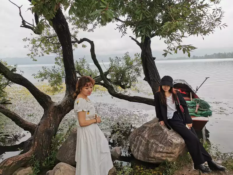
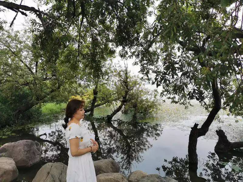
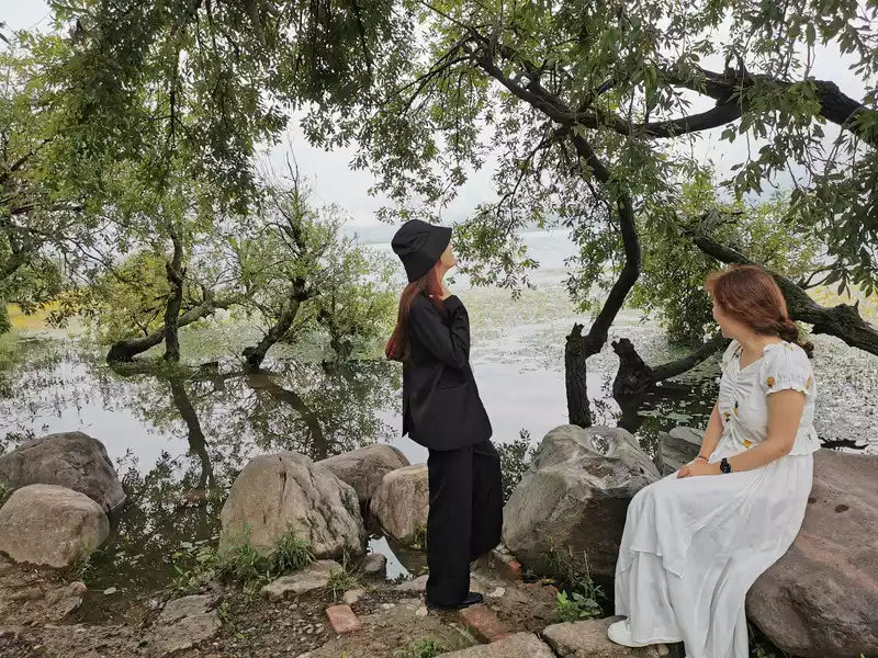
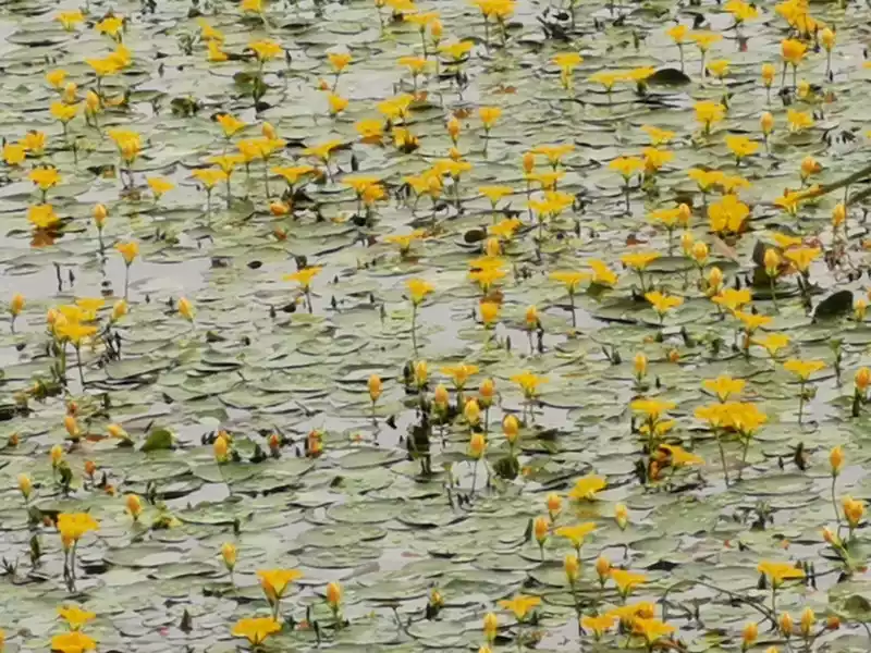
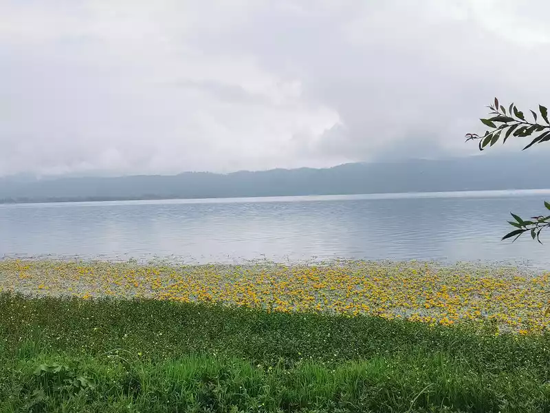
In July, in Qionghai National Wetland Park in Xichang City, water plants in the lake bloomed, and small yellow flowers gathered together and bloomed in the sunlight. Water chestnut is a shallow water plant, the leaves are shaped like water lilies, small and chic, bright yellow flowers stand out of the water, and tens of millions of small flowers together form a sea of yellow flowers.
09:55 Pass through Xichang city
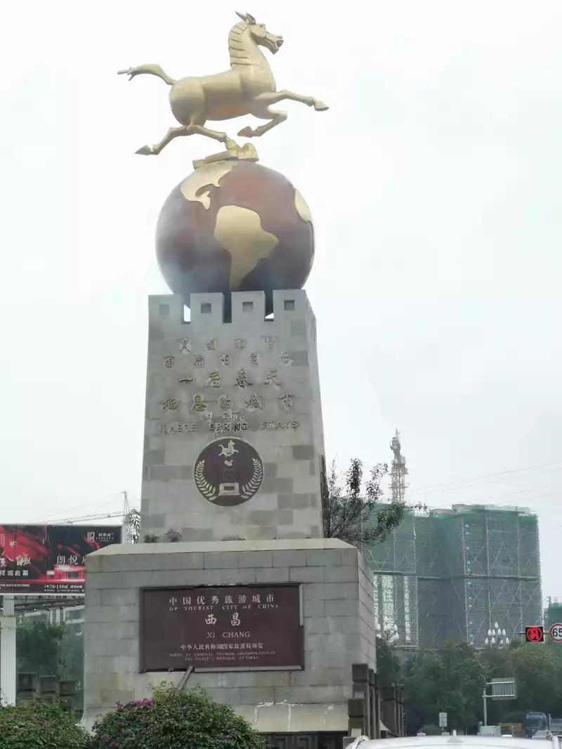
"Xiaoharu City"
Bougainvillea and palm trees can be seen everywhere on both sides of Xichang Road. Xichang Xichang area belongs to the subtropical monsoon climate, known as the "Little Spring City", and its climate is not inferior to Dali and Kunming. The temperature in winter is very comfortable, without biting cold; The temperature in summer is only about 27 or 8 degrees, and there is no need to turn on the air conditioner at all. Warm in winter and cool in summer, and like spring in all seasons, it is "a city that inhabits spring". Such a good place, we can't help but regard Xichang as one of the long-term cities after retirement in the future.
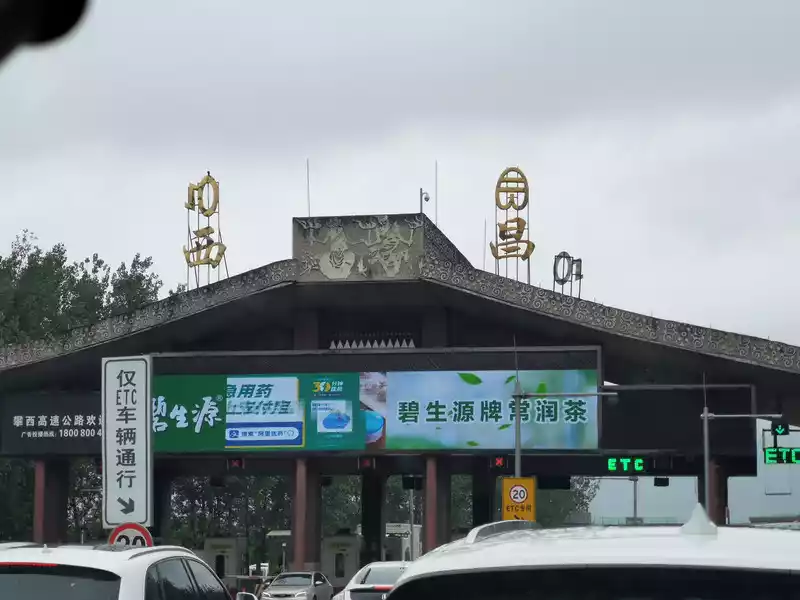
I was going to go around Qionghai and see the satellite launch base by the way, but due to a change in itinerary, I left Chengdu after slipping by the Qionghai Sea. Goodbye, Xichang!
10:00 Yaxi Expressway returns to Chengdu
Yaxi Expressway, starting from Ya'an, Sichuan Province, and ending in Xichang, the capital of Liangshan Yi Autonomous Prefecture. It has a total length of 240 kilometers, and the road has crossed the Daxiangling Niba Mountain and Tuowu Mountain at an altitude of more than 3,000 meters, crossed the Qingyi River, Dadu River, Anning River and other water systems and 12 seismic fault zones. It is recognized by experts and scholars at home and abroad as one of the mountain highways with the worst natural environment, the most difficult engineering and the highest scientific and technological content in China and even the world. It has the reputation of "Ladder Expressway" and "Highway on the Cloud"! It is like a dragon shuttling between the mountains, and the average elevation will rise by 7.5 meters for every kilometer the road extends forward! The Yaxi Expressway has 25 tunnels with a length of about 41 kilometers, and 270 bridges with a length of about 91 kilometers, including 23 mega bridges and 168 bridges. The bridge-tunnel ratio accounts for 55%. It can be said that half of this highway is bridges and tunnels. From the primeval forest style at the entrance of the Daxiangling Tunnel, to the landscape of the Dadu River Canyon in Hanyuan, to the plateau scenery of Mianning and Xichang areas, there are scenery everywhere along the way, which can be described as the "landscape avenue" of western China!

10:53 Pulling Sheep Tunnel
After more than ten minutes after Mianning, it was the Pulling Sheep Tunnel and began to climb over Tuowu Mountain. Therefore, the Sheep Pulling Tunnel is also called the Tuowushan Tunnel, which should be the most dangerous section of the entire Yaxi Expressway.From Mianning to Asbestos over Tuowu Mountain, from more than 2,000 meters to more than 1,000 meters, there is a continuous 51-kilometer long downhill, and there are many bridges and tunnels on the way, the most spectacular is the Ganhaizi and Tiezhaizi double spiral tunnels, which are the world's first double helix small radius curved tunnels, which achieve a continuous rise of 450 meters in the 4-kilometer "V" shaped canyon range (our return direction is to descend) 450 meters, providing a new model for solving the route climb and overcoming the altitude difference.
From Xichang to Asbestos via Mianning, it was the northward route of the Red Army's Long March. Mianning is an old revolutionary area, and in 1935, the Red Army's Long March passed through Mianning, where Liu Bocheng and Xiao Ye Dan "formed an alliance with Yihai".
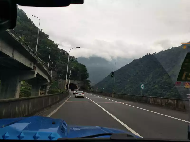
12:07 Passing through the Shiluo Tunnel Group in Shiluo Yi Township
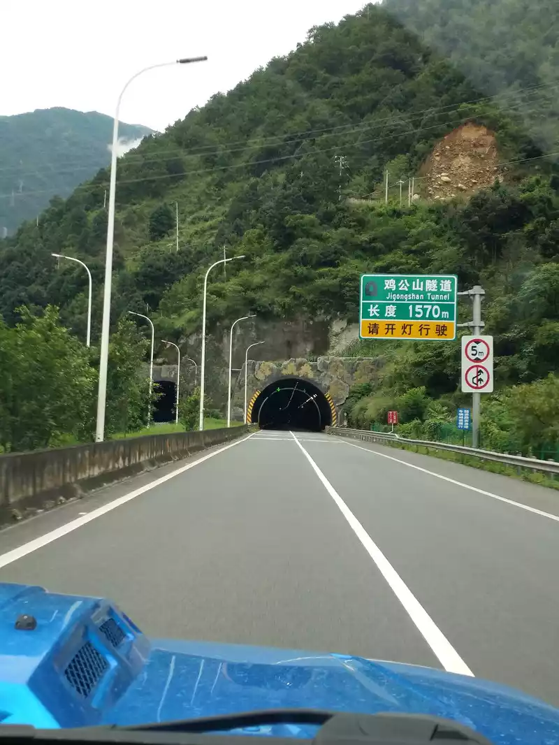
12:14 Pass through the Jigongshan Tunnel. The Jigongshan Tunnel is next to the asbestos county seat. Not far northwest of Asbestos County is Anshun Field, which is the place where the Red Army forcibly crossed the Dadu River, and further north of Anshun Field is the Luding Bridge captured by the Red Army. We walked downstream along the Dadu River in asbestos.
From asbestos to Hanyuan County is 31 kilometers, 25 minutes, which is a relatively gentle section of the Yaxi Expressway, the whole process is winding along the Dadu River Valley, nearly half of the distance is in bridges and tunnels, there are still many curves, but most of them are relatively slow. Attraction 1: Bridges in the waterfall reservoir area. This is one of the most spectacular bridge groups in the reservoir area in the world, with a section of 22 kilometers long, including 16 bridges with a length of 14 kilometers; Three bridges across the Dadu River, with different bridge types, reflect the lake in a picturesque way, flying across the Dadu River three times between the cliffs, majestic, like a giant dragon breaking through the clouds on the water. Attraction 2: Waterfall Gully Reservoir.
Thebridge and tunnel situation on this line: asbestos - asbestos tunnel (1324 meters) - Xudianzi Tunnel (1272 meters) - Guanyinyan Dadu River Bridge (2840 meters) - Changheba Bridge (1581 meters) - Wanzitou Bridge (1318 meters) - Gangzishang Tunnel (145 meters) - Qinggangzui Dadu River Bridge - Hanyuan
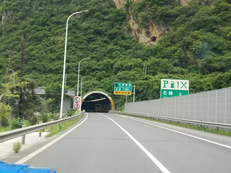
12:18 Asbestos tunnel

12:21 Dabaoshan Tunnel
12:23 Pass the Guanyinyan Dadu River Bridge
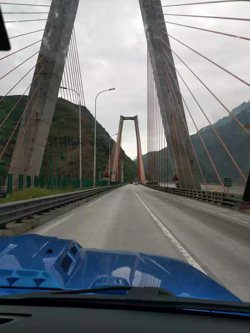
12:23 Pass the Guanyin Rock Dadu River Bridge.
The Guanyinyan Dadu River Bridge is a main bridge on the Ya'an to Shanghai-Guzhou Expressway via asbestos in the Sichuan section of the Beijing-Kunming Expressway, located in Zaiyang Township, Asbestos County, Ya'an City.
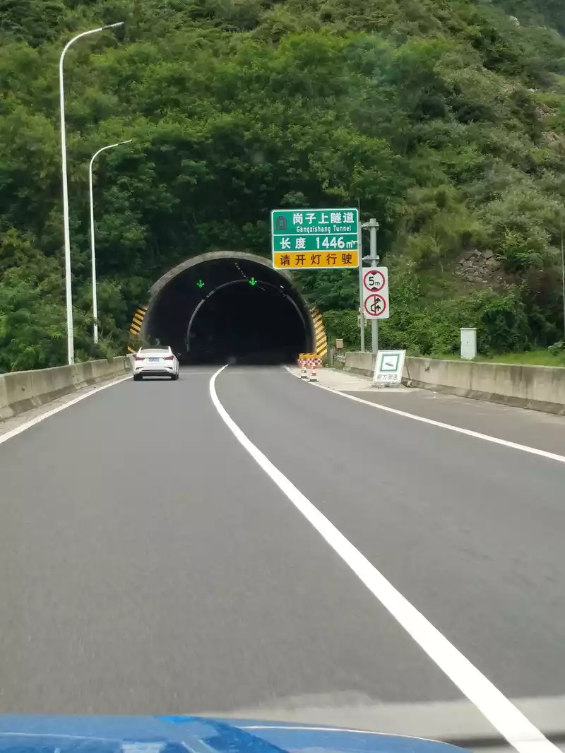
12:31 Cross the post and go up the tunnel. After passing the hill and going up the tunnel, you will find the Waterfall Gully Reservoir.
12:33 Pass by Hanyuan County Waterfall Gou Reservoir
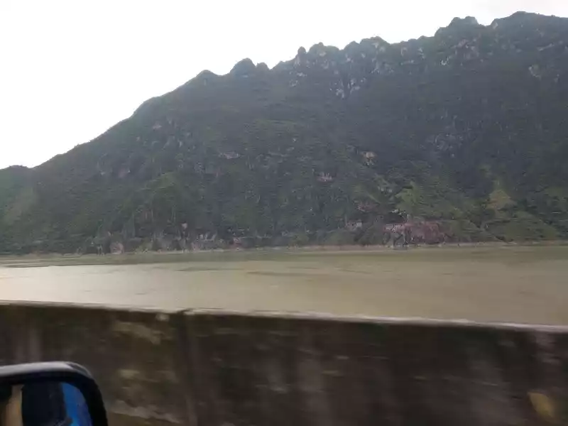
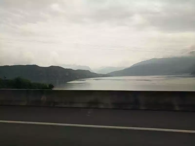
12:33 Pass through the Qinggangzui Dadu River Bridge and Waterfall Gully Reservoir in Xiaobao Tibetan Yi Township, Hanyuan County.
The waterfall gou hydropower station reservoir is also known as "Hanyuan Lake". The Waterfall Valley Hydropower Station Reservoir is located on the main stream of the Dadu River, forming 84 square kilometers of water in Hanyuan County, Asbestos County and Ganluo County, with a storage capacity of 5.3 billion cubic meters, which is the largest artificial lake in southwest China. Hanyuan County is located on a peninsula in the lake. Hanyuan Lake is 72 kilometers long, with a widest straight line of 7 kilometers and a water depth of 186 meters. "Gao Xia out of Ping Lake, clear water shines on Cangshan", not far downstream of Hanyuan Lake is the Dadu River Canyon, which is one of the top ten most beautiful canyons in China and has been approved as a national geopark.
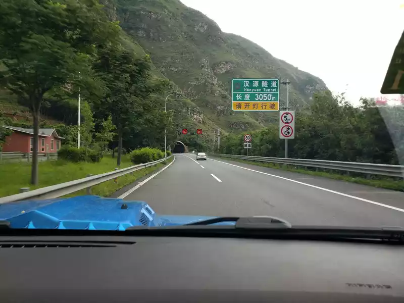
12:36 Hanyuan Tunnel
12:52 Daxiangling Nibashan Tunnel
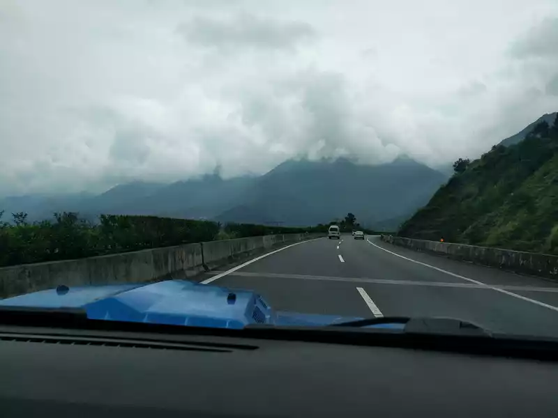
12:52 Daxiangling shrouded in clouds and mist in the distance. Daxiangling used to be called Qiongze Mountain, also known as Niba Mountain, which is the junction mountain between Xingjing and Hanyuan, with an altitude of 2000-3481 meters. Daxiangling is a necessary place for ancient transportation, and the ancient Southwest Silk Road took the road here, and the road is called Xiangling Ancient Road. It is rumored that during the Three Kingdoms period, Zhuge Liang took the Xiangling Ancient Road during his southern expedition.
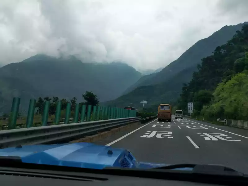
12:53 Nipa Mountain Tunnel. Daxiangling Nibashan Tunnel, 10 kilometers long, is located at the intersection of the Qinghai-Tibet Plateau and the Sichuan Basin; The edge of the Longmenshan fault zone is a key control project of the Yaxi Expressway; The second longest highway tunnel in Sichuan Province (the total length of the Xinerlangshan Tunnel is 13,459 meters).
13:11 Labajingou Bridge
Beforecrossing the Tiger Stone Tunnel, it is Labajingou, Shizhi Township, where between the two mountains stands a major and difficult project on the Yaxi Expressway - Labajingou Bridge, its highest bridge No. 10 pier is 182.5 meters high, known as "Asia's tallest pier", plus the connecting part of the bridge and the bridge deck, with a height of more than 220 meters, it can be said that it is driving from the "air". At this time, it was almost at the foot of Daxiangling, about a kilometer above sea level.
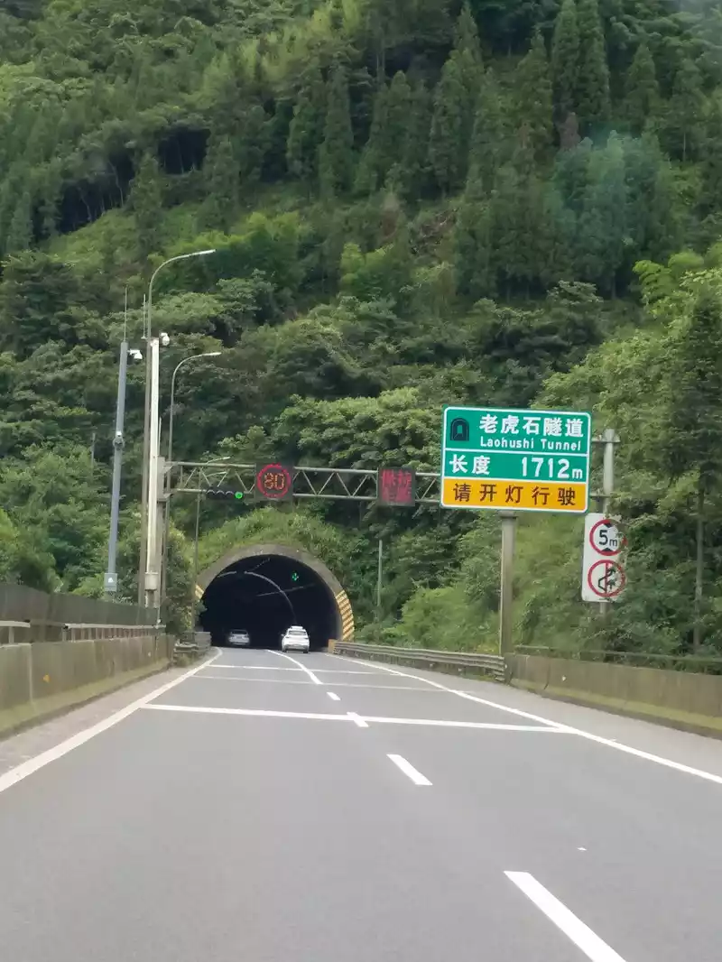
13:17 Tiger Rock Tunnel. After passing the Tiger Stone Tunnel, the altitude is still declining, and it is only 600 meters to Ya'an and 500 meters to Chengdu.
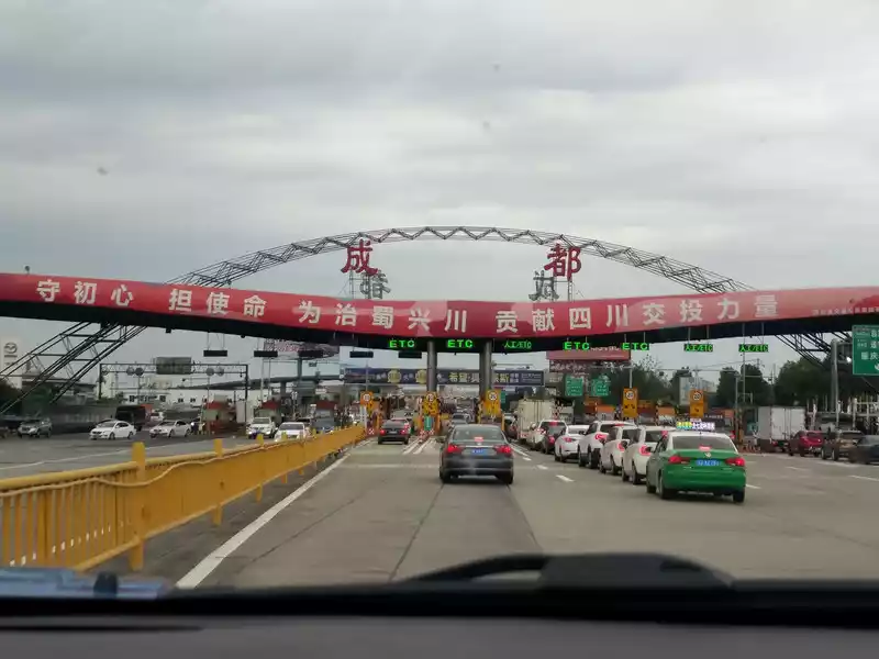
15:44 Chengdu toll station. Go back to Chengdu!
16:50 Take a walk on Chunxi Road, Jinjiang District, Chengdu
 >Chunxi Road, Chengdu's famous commercial pedestrian street, if you want to see the prosperity of Chengdu or shopping, come here to take a look. Chunxi Road, taking the allusion of Lao Tzu's "Tao Te Ching": "Everyone is bustling, like enjoying a prison, like climbing the spring platform ", to describe the scene of prosperous business, people's bustle, and prosperity.
 The streets of Chunxi Road and the shops are full of bustling people, what a lively and prosperous scene, and it is not at all obvious that this is still during the epidemic.


17:15 KKV flagship store
KKV is a new retail chain brand under Guangdong Kuaike E-commerce Co., Ltd. (hereinafter referred to as KK Group ), founded in 2015, positioning the new national trend, is a collection store focusing on exquisite lifestyle. KKV builds a new consumption scene with commoditization planning led by space design + category style + lifestyle experience. As of July 2020, there are more than 300 stores in Beijing, Shanghai, Guangzhou, Shenzhen, Hangzhou, Chengdu, Suzhou, Tianjin, Wuhan, Chongqing and other countries.
The addition of KKV has brought fresh vitality and super popularity to the Chunxi Road business district, and has become another Internet celebrity check-in place on Chunxi Road.
At the door, you can often hear the shopping guide say, "There are too many people at this time to enter, make an appointment first to get the number and then wait for the number"

Generally, when you see this Internet celebrity cotton rainbow wall, you know that it is KV.


19:12 Go to the former site of Sanyi Gong, where Sichuan opera flourished in the past, and now it has become a commercial store.

19:55 Have a meal at Qunguang Square. I was going to eat Haidilao, but I was told that I would have to wait in line for more than 2 hours, so let's eat a simple Korean dish.
This trip is better than the few people and the cost is small, but the choice of season is not too good. In July, this loop has entered the rainy season, and our 11-day itinerary hardly saw much sun, except for the sunny weather on the first day of Luding Bridge, Xindu Bridge to Daocheng encountered N rains, Balagzong rained, Yulong Snow Mountain rained, Luoji Mountain rained, and Xichang still rained. Fortunately, most of the rain we encountered was at night, which basically had no impact on the itinerary. It is recommended that future friends choose spring or autumn outside the rainy season, when the weather is clear and the scenery is more beautiful. In addition, although the Sichuan-Yunnan Grand Ring Road has been walked for 10 days, the itinerary is still a bit rushed, in fact, it is more appropriate to play for another day in every place it passes through, but unfortunately our time is limited, let's take a slow trip when we retire.
This travelogue has been written since November 2020, and it has been nearly 3 months since the end of January 2021, and it is finally coming to an end. At the end of December 2020, my lover and I went to Sanya, Hainan again.If the Sichuan-Yunnan Grand Ring Road is a graduation gift for the daughter, then the trip to Sanya is for us, this is our romantic silver wedding trip, we walked through the soft clean sand of Wuzhizhou Island to see the blue and white sea, see the lush tropical rainforest, experience the excitement of 4D movies, pass by the colorful bougainvillea flower sea, listen to the blessings of Nanshan Guanyin, see the coconut trees at the ends of the earth, and walk through the sky mirror ..... of Xidao
After returning from Sanya with a beautiful mood, I will continue to write my travelogue, today is the end of January 2021, the footsteps of the New Year are getting closer and closer, I wish you all in the new year can turn the world, the bull is soaring , the good health, and the wishes come true!
As mentioned at the beginning of this travelogue, there are actually three Shangri-La referred to in this article, one is Shangri-La City in Diqing Prefecture, Yunnan; One is Aden, the Daocheng city of Sichuan; So, where is the last Shangri-La? In Daocheng, Zunsheng Tallinn is Shangri-La; In Aden, Xian Nairi, Yang Maiyong and Xiano Dorjee are Shangri-La; In Litang, Changchun Cole Temple is Shangri-La; In Lijiang Naxi, the Jade Dragon Snow Mountain is Shangri-La. And in my opinion, my relatives are Shangri-La, they are the most important in my life, the sun and moon in my heart. Shangri-La is not in Diqing, not in Daocheng, not in Aden, not in Litang, not in Lijiang, and the last Shangri-La is only in your heart.
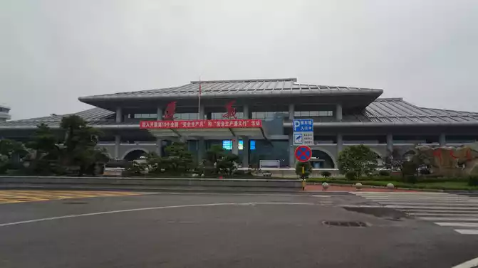
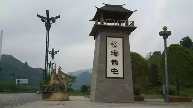
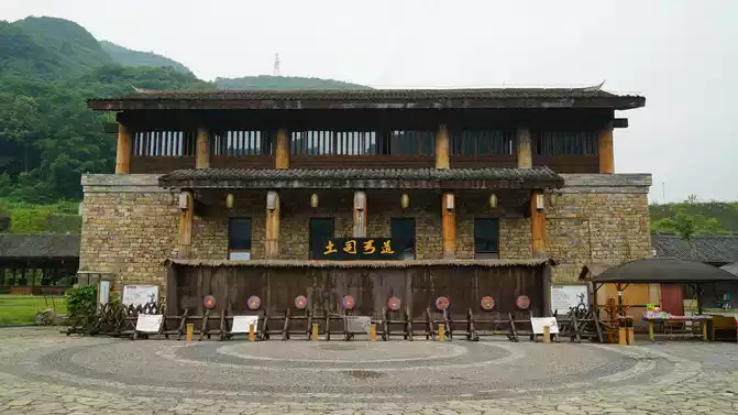
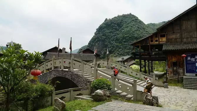
Number of days: 18 days, Average cost: 5000 yuan, Updated: 2022.08.04

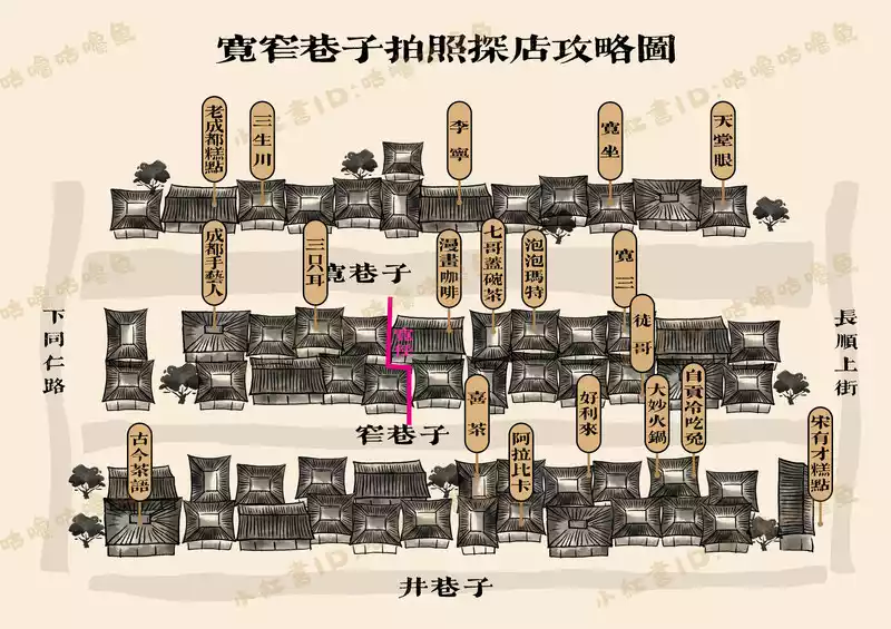

Number of days: 1 day, Average cost: 50 yuan, Updated: 2021.06.18
Number of days: 12 days, Average cost: 6000 yuan, Updated: 2020.09.30
Number of days: 8 days, Average cost: 8000 yuan, Updated: 2021.08.18


Number of days: 1 day, Average cost: 1000 yuan, Updated: 2022.09.03
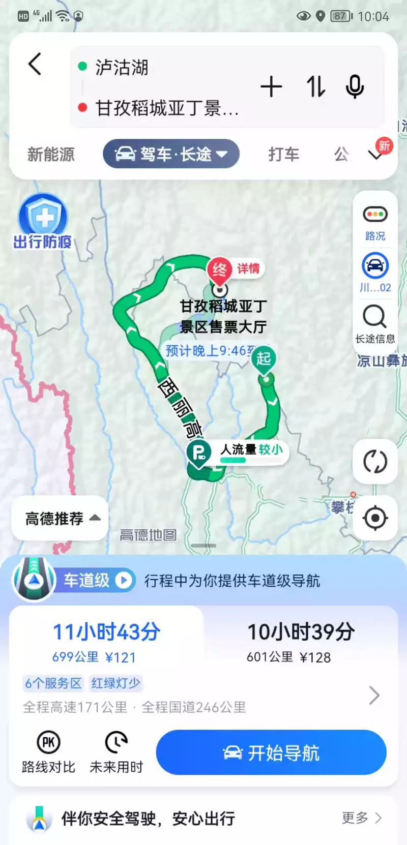
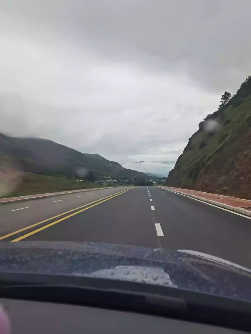
Number of days: 1 day, Average cost: 200 yuan, Updated: 2022.09.14