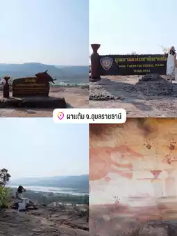
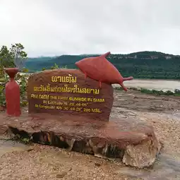
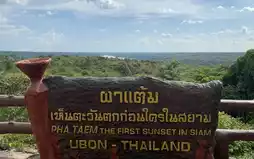
Pha Taem National Park, Ubon Ratchathani Province 🌅🌄
Pha Taem National Park
by hyw1nter
Dec 12, 2024
by hyw1nter
Dec 12, 2024


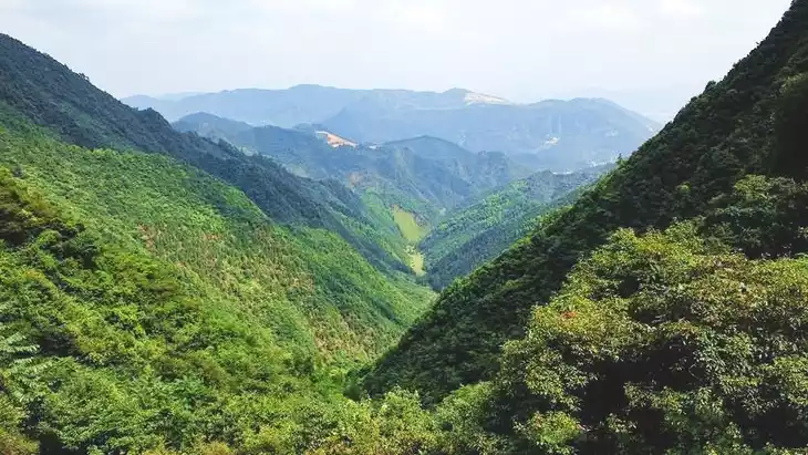
Topography of Pha Taem National Park
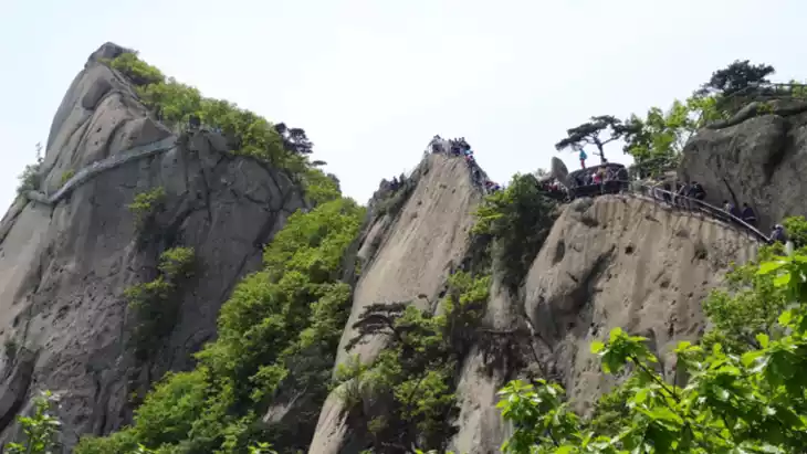
The general condition is a plateau and steep hills, with high and low levels alternating throughout the area. The geological features are caused by the separation of the earth's surface. It is the same mountain range as the Phanom Dong Rak or Dong Rek mountain range, where Khao Phra Viharn is located. According to the geological map, the units are named Phu Phan and Phra Viharn. They are sandstone mountains with some plains along the stream and the Mekong River. Each plateau covers an area of 800-1,300 rai, approximately 1-2 kilometers from the river. There are steep cliffs. The highest peak in Pha Taem National Park is Phu Chan Daeng, approximately 461 meters high, at the average sea level, and the slope gradually decreases towards the Mekong River. The average height of the area is approximately 200 meters above sea level.
#Nature attractions
Bok Pla Ma Waterfall, Na Pho Klang Subdistrict, Khong Chiam District, Ubon Ratchathani Province
Pha Taem National Park Protection Unit 3 (Khan Tha Kiewian)
Post by Mr.Tanee | Jun 29, 2023